Cup-Marked Stone: OS Grid Reference – SE 1777 5128
Getting Here
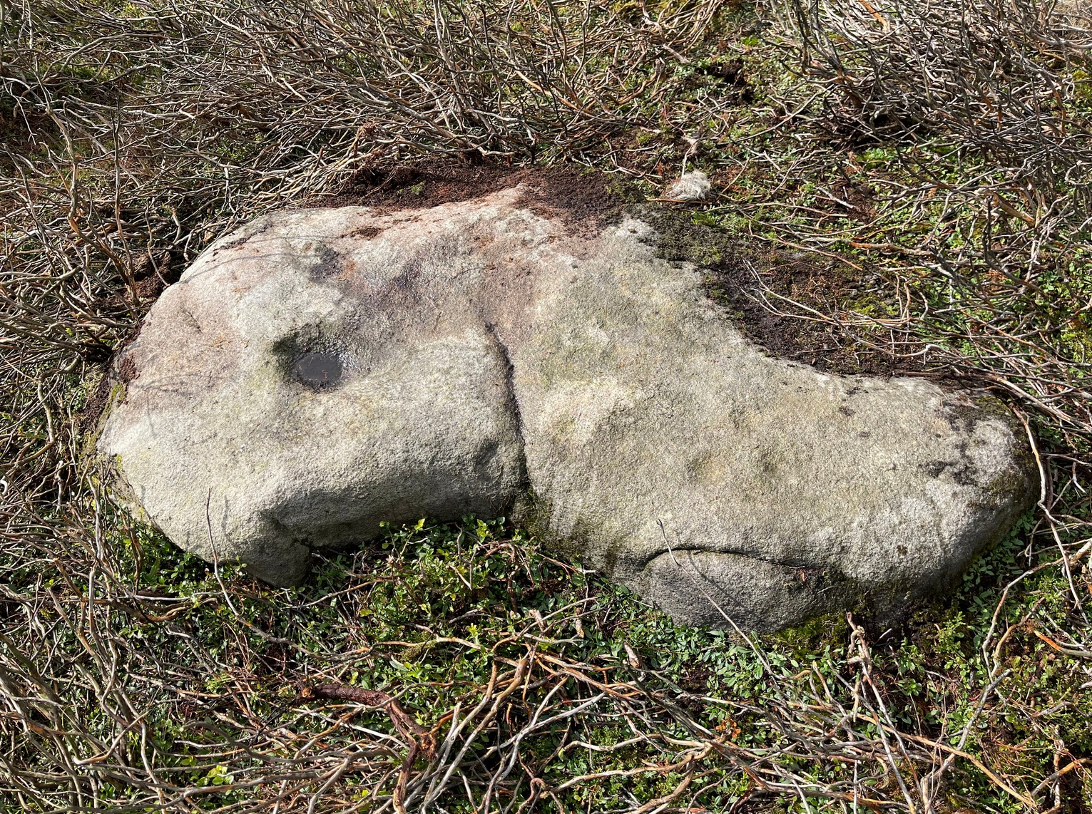
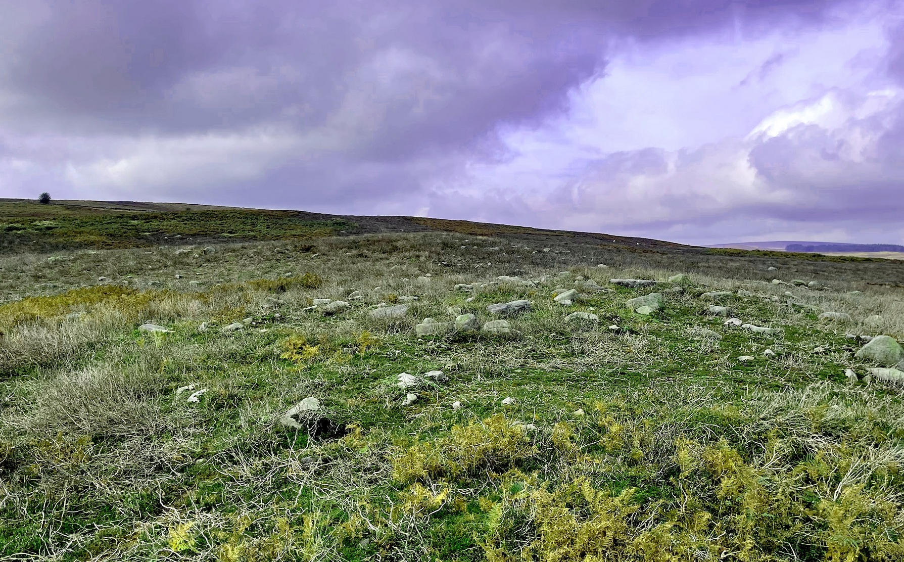
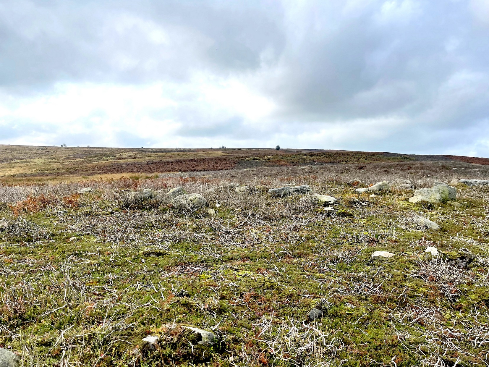
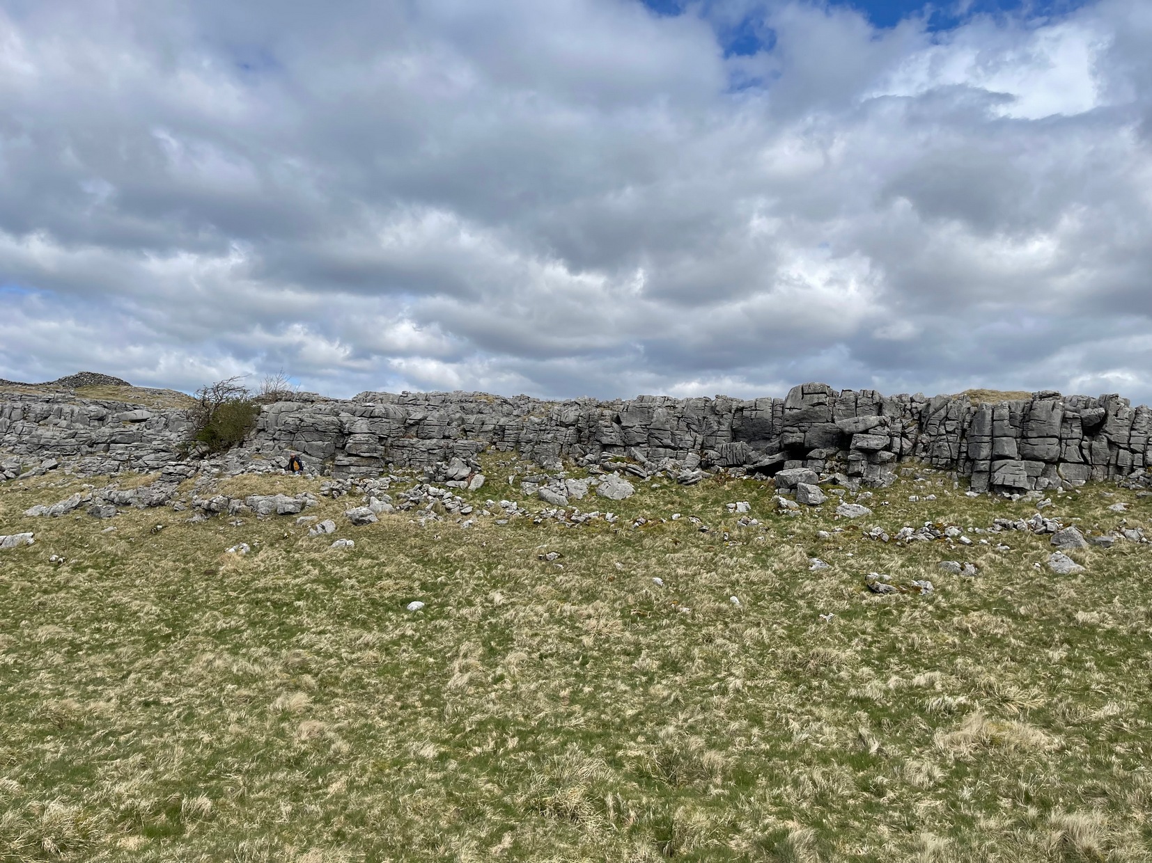
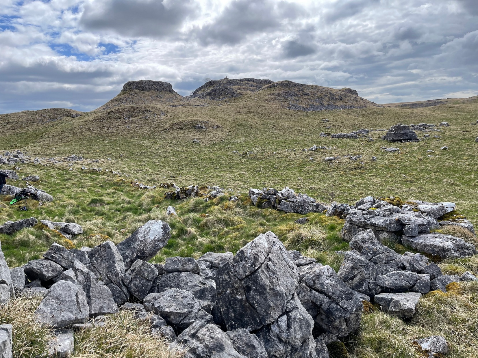
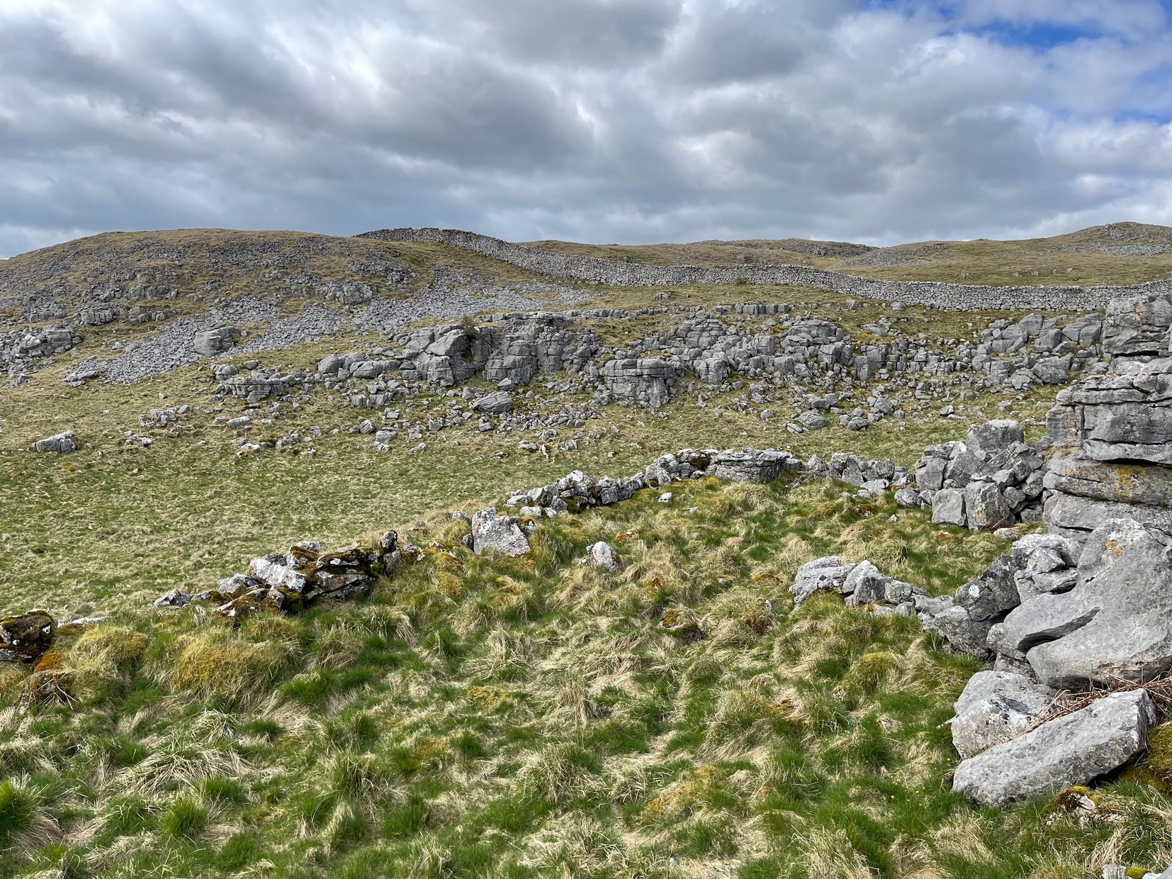
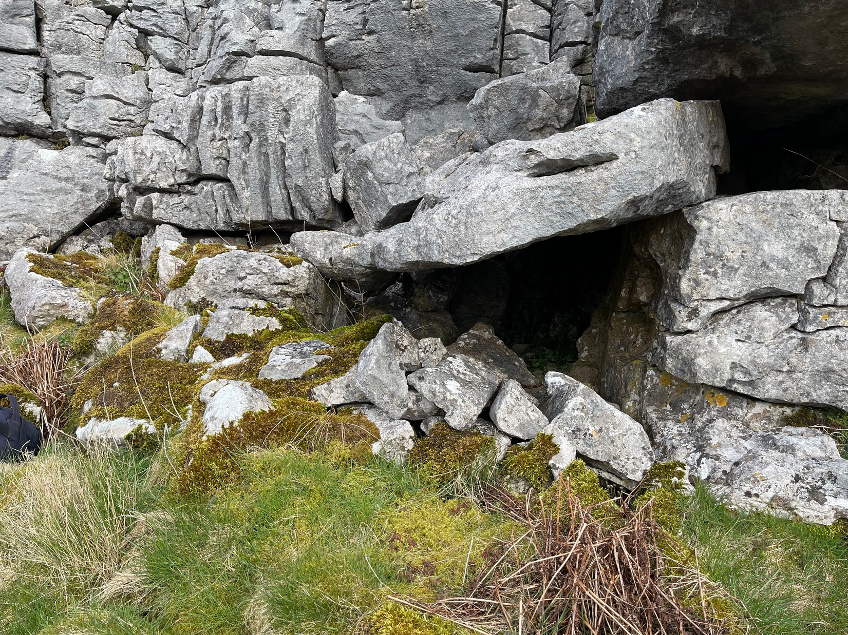
From the Askwith Moor car-park (SE 1757 5067), walk along the road north for a few hundred yards until you reach the gate on your right and head through the heather to the Death’s Head carving. From here walk in a northwesterly direction up the gentle slope for 50-60 yards and, before reaching its crown, keep your eyes peeled for a low flat stone with a curvaceous crack running roughly halfway across it. If the heather’s deep, you might not have a cat in hell’s chance of finding it!
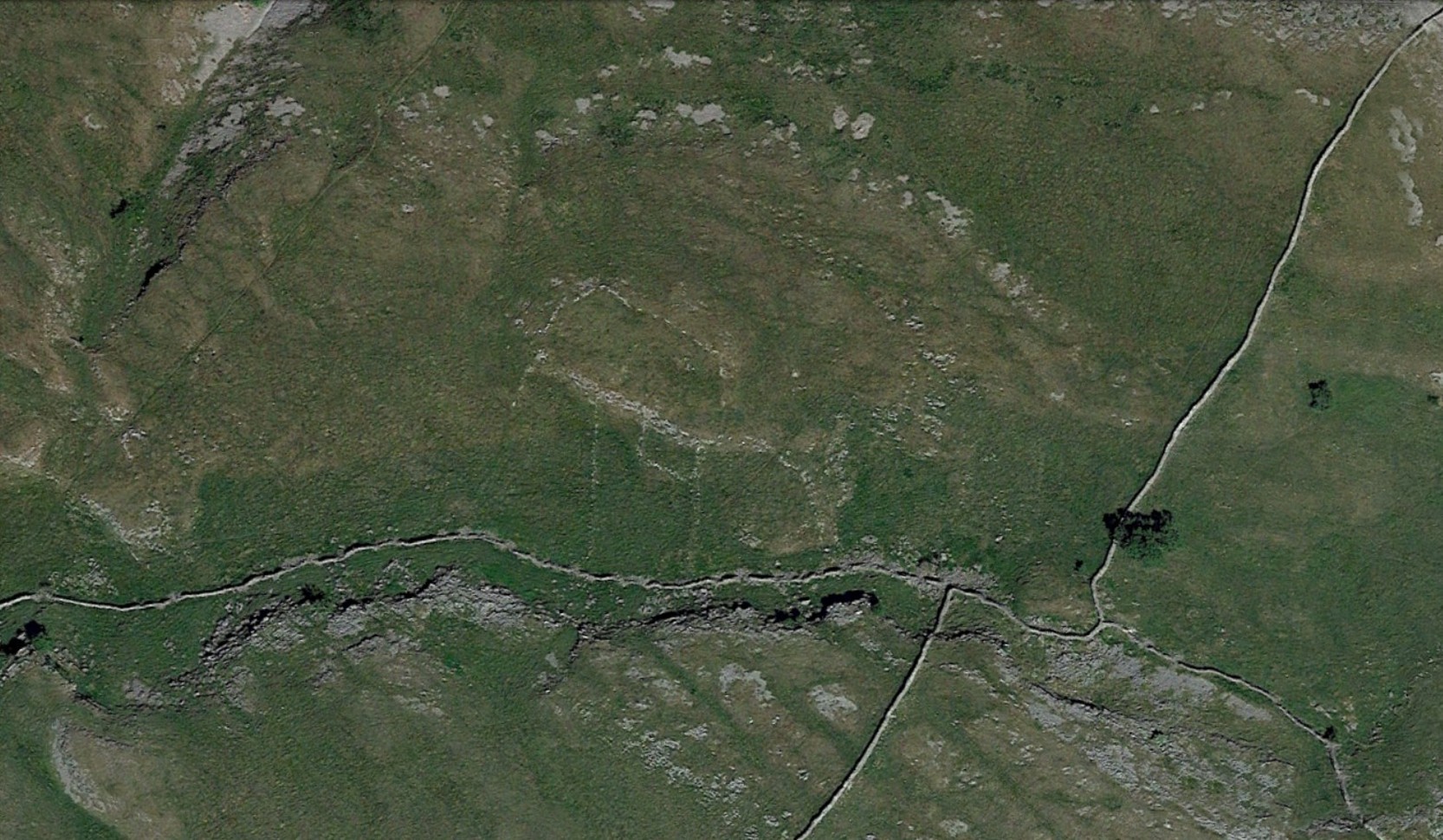
Archaeology & History
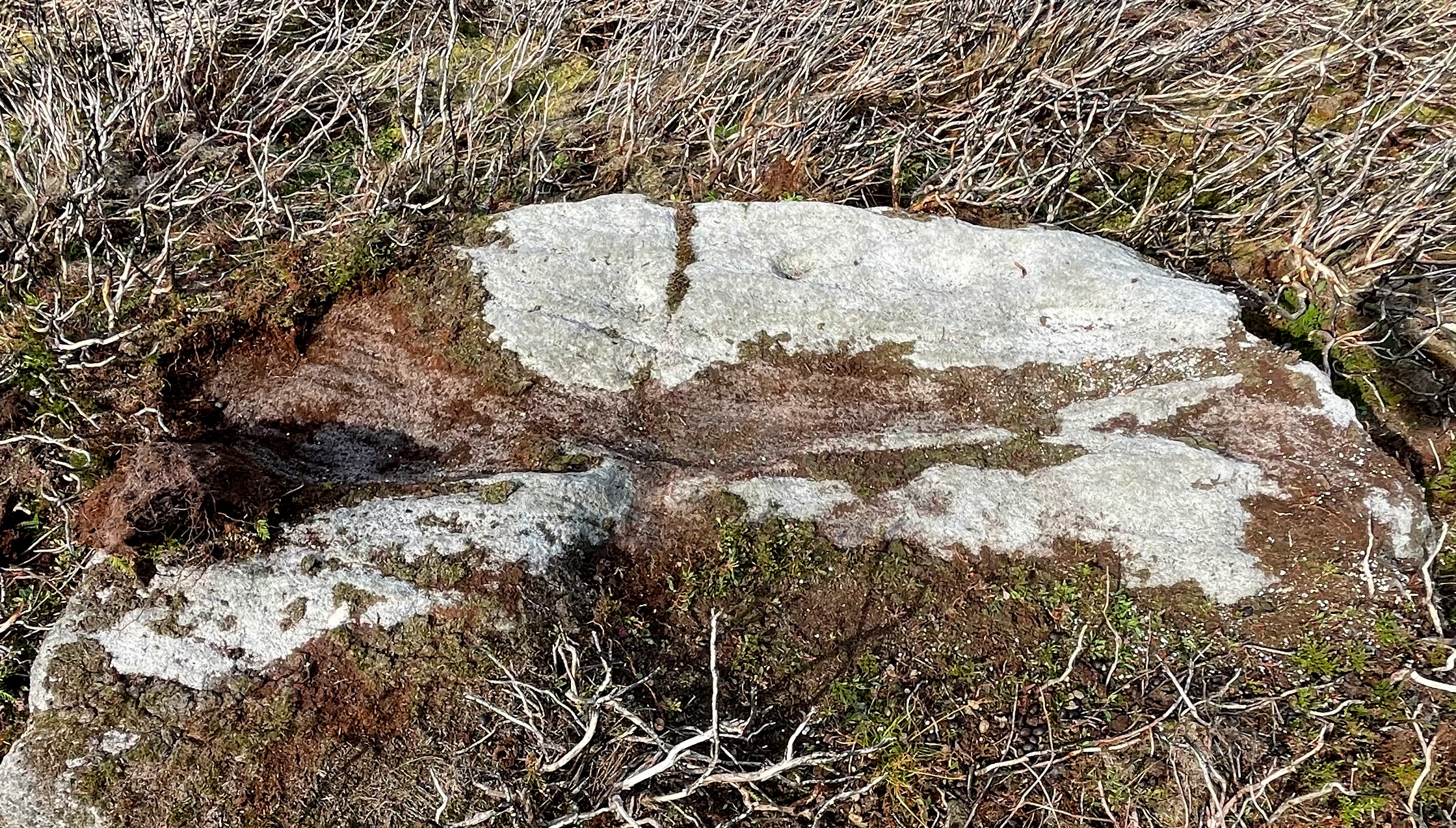
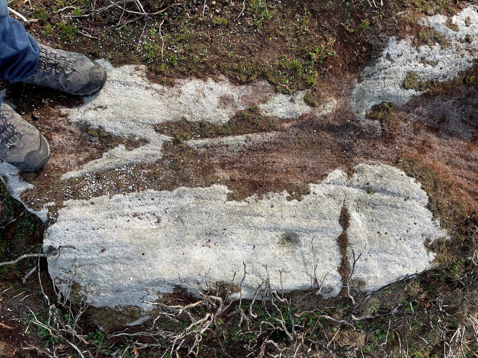
This carving isn’t much to look at on two levels: i) it’s a pretty simplistic design with no rings, and (ii) it’s very faint and almost impossible to see until the light is just right—except for one of the cups, which itself might be natural (there are a few like that amidst the Askwith complex). It’s very much a carving for the purists among you, as I always say. Nonetheless, for the record:
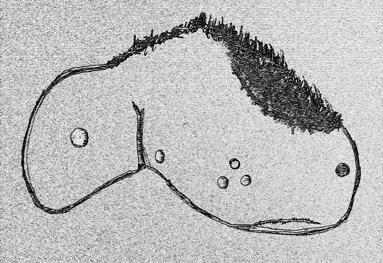
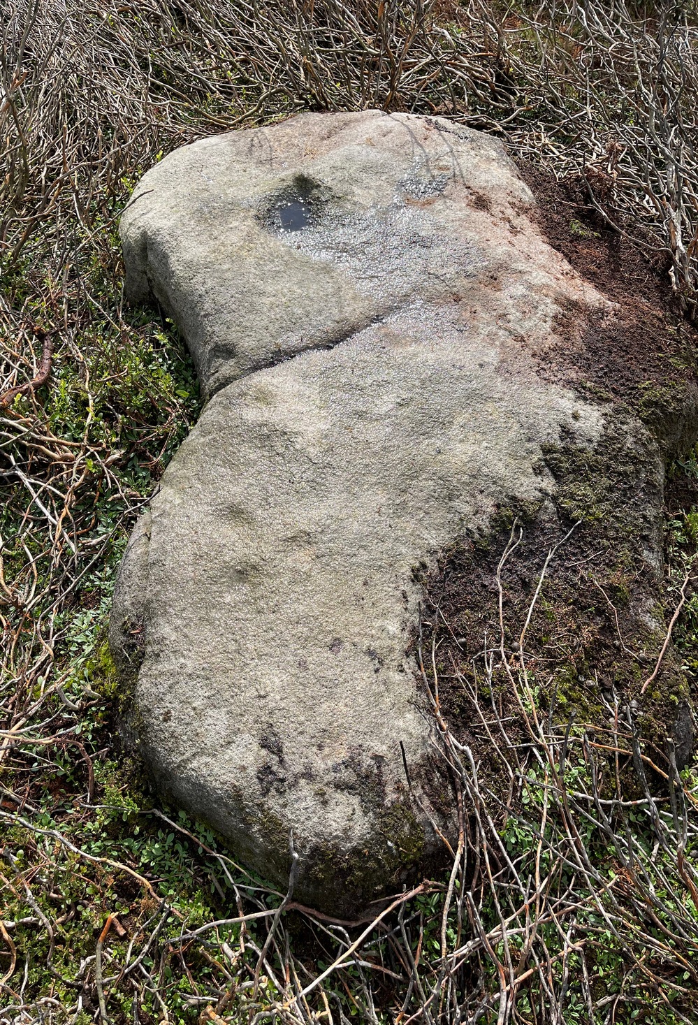
The most notable element is the single “cup mark” on the more easterly section of the stone, on one side of the natural crack. It catches your eye and is what makes you give the stone a little more attention, although I couldn’t make up my mind whether this was Nature’s handiwork or humans. It may be a bit of both. On the other side the crack we can see a small group of very faint eroded cup-marks — just! What seems to be three of them cluster in a small triangle formation, but one of these may be natural (tis hard to say for sure), with another isolated cup closer to the crack, and a final one further to the outer edge of the stone. All are very faint but stood out when the sun was low on our recent visit here. Give it your attention when you’re next having a look at the settlement and cairnfield close by.

© Paul Bennett, The Northern Antiquarian