Sacred Well: OS Grid Reference – SE 0957 2281
Archaeology & History
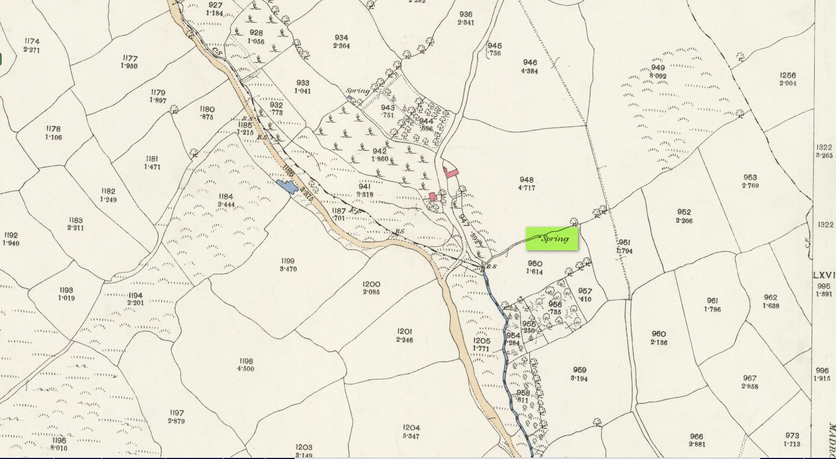
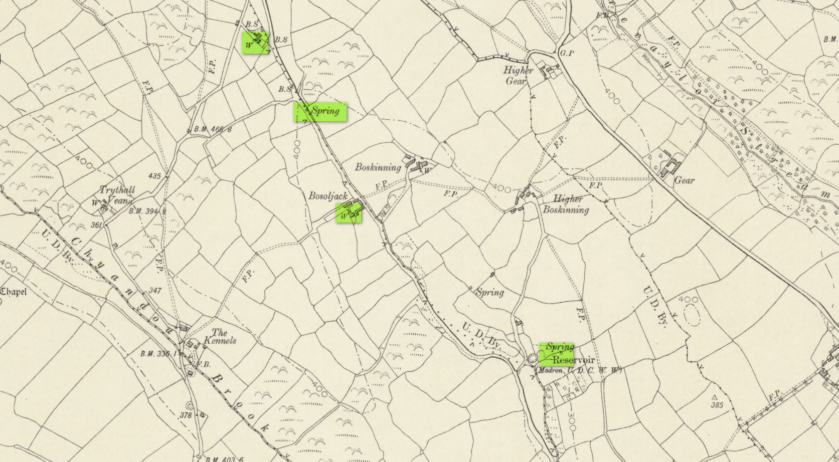
This curiously-named old water source may have an equally curious history behind it – albeit forgotten. Shown on the 1854 OS-map of the area and giving its s name to Dudwell Lane, we can see how an old path led from the road to the well and nowhere else.
It’s the word “dud” that holds our attention here; for if we hasten to the immensely erudite Joseph Wright (1900) in his gigantic survey of northern dialect, we find that the word relates to “a rag, piece of cloth; pl. clothes, esp. shabby, ragged, or dirty clothing.” This is echoed in another Yorkshire dialect work by Morris (1892) who told that the word meant “clothes (or) rags.” Several other Victorian writers tell us variations on this meaning (one adds old shoes to the list!), but in all instances it relates to dud being a rag, whereas the plural duds are rags or scruffy clothes. Naathen (to use another old dialect word), those of us who know a thing or two abaat olde wells are very very familiar with their association to old rags that were hanged on the surrounding trees as offerings to the spirits of the water—the genius loci—to aid in the hope or desire of something, or merely as respect to the waters for their beneficient properties. (this sometimes occurred ritually at set times in the calendar)
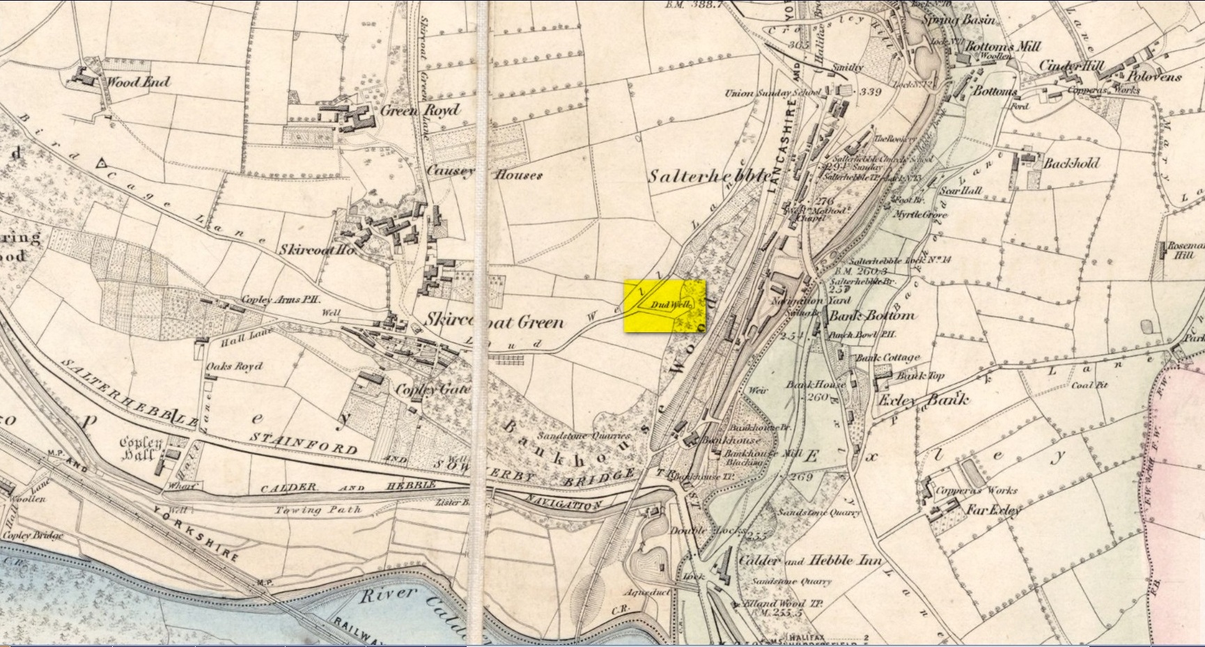
The Dud Well was obviously of considerable local repute, for just a couple of years after it was shown on the earliest OS-map, a local bailiff called Samuel Rhodes built The Dudwell house close to the waters, which he named “in honour of the magnificent and never-failing spring of pure, bright, sparkling water in the wells close by.”
There is a possible alternative meaning to the word dud, which is that some dood called ‘Duda’ left his name here! This seems much more speculative and unlikely than the use of a local dialect term. Hopefully a local historian amongst you might perhaps be able to find out more.
References:
- Morris, M.C.F., Yorkshire Folk-Talk, Henry Frowde: London 1892.
- Wright, Joseph, English Dialect Dictionary – volume 2, Henry Frowde: London 1900.
© Paul Bennett, The Northern Antiquarian