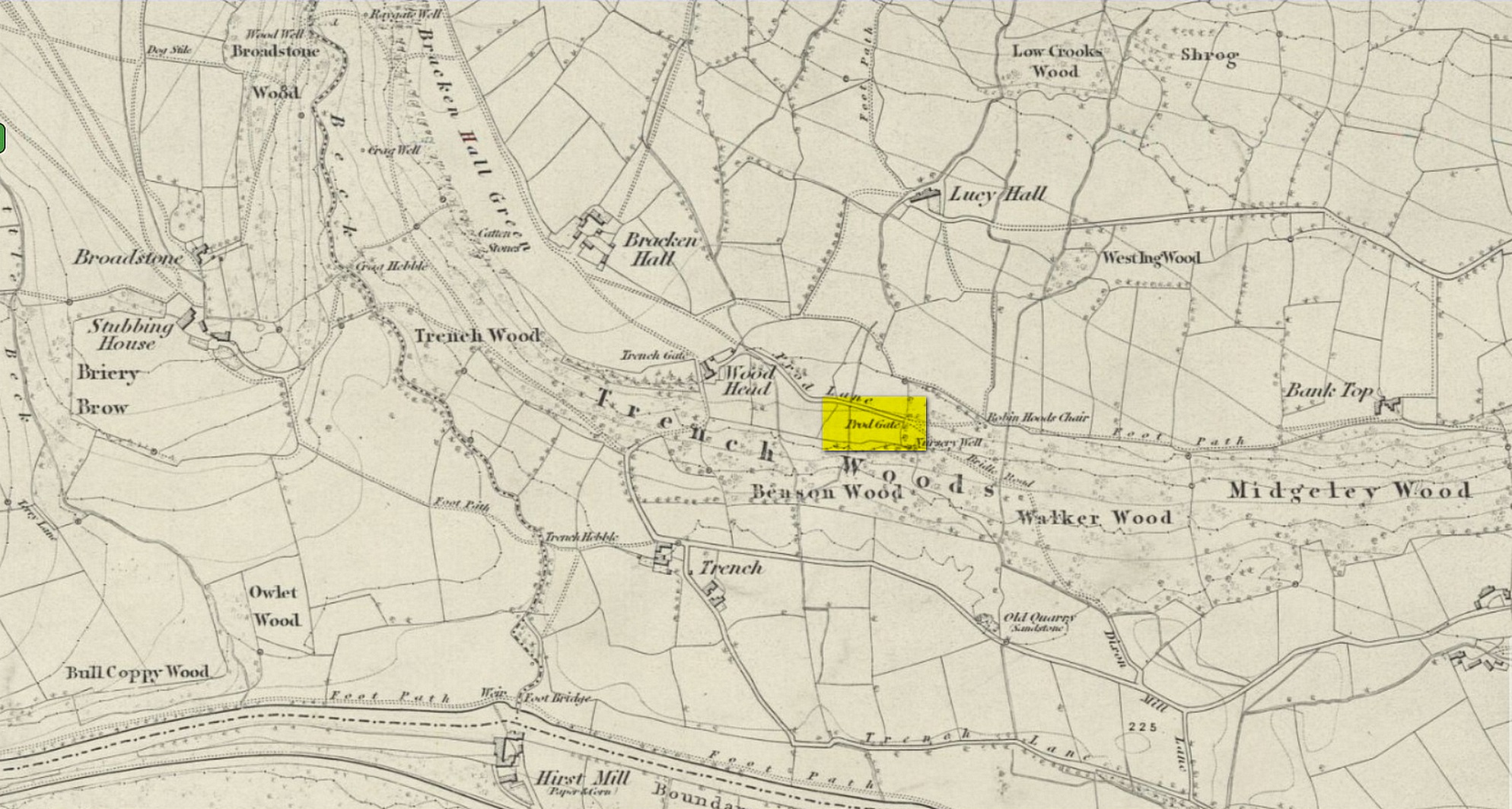
Cup-Marked Stone (removed): OS Grid Reference – SE 1579 3995
Archaeology & History

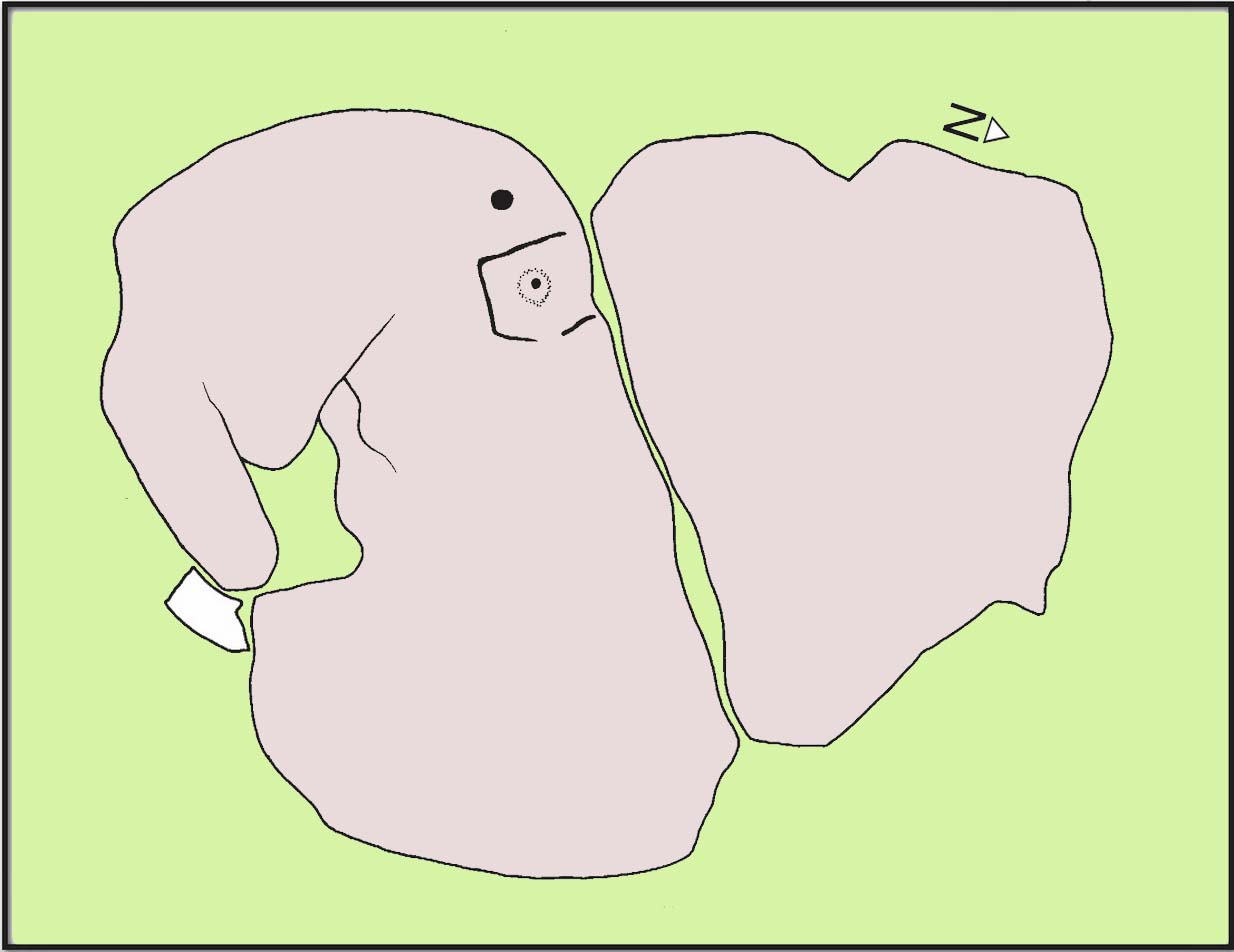
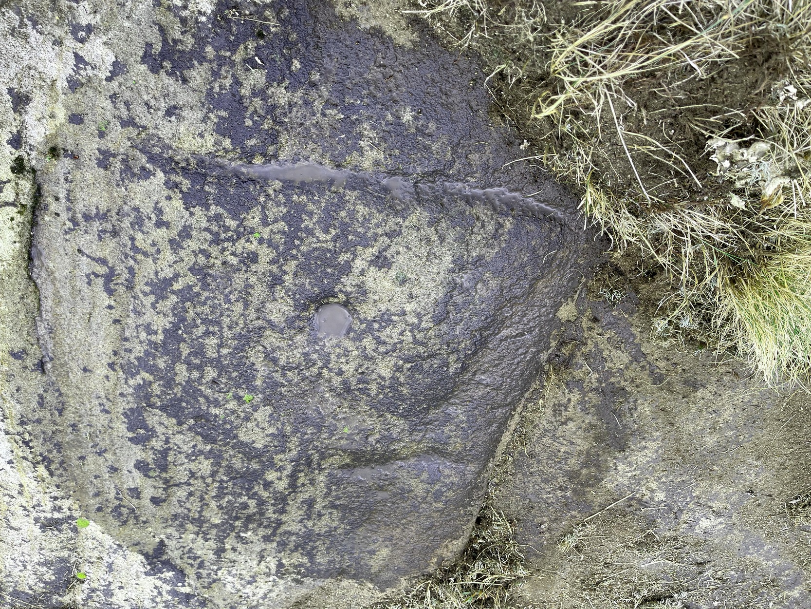
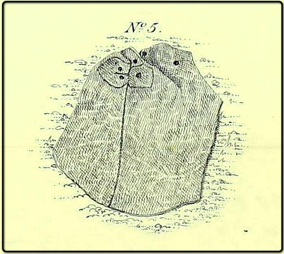
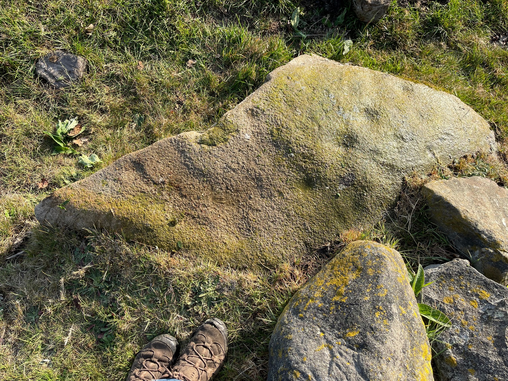
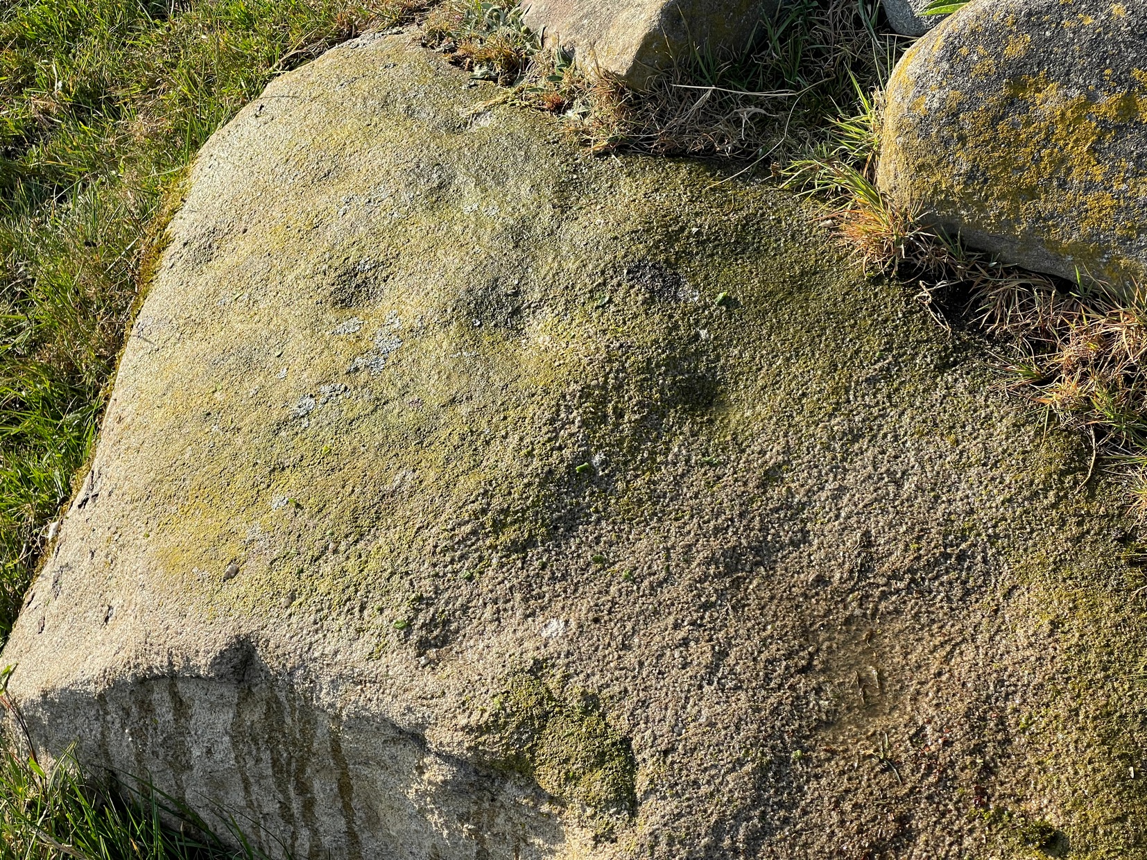
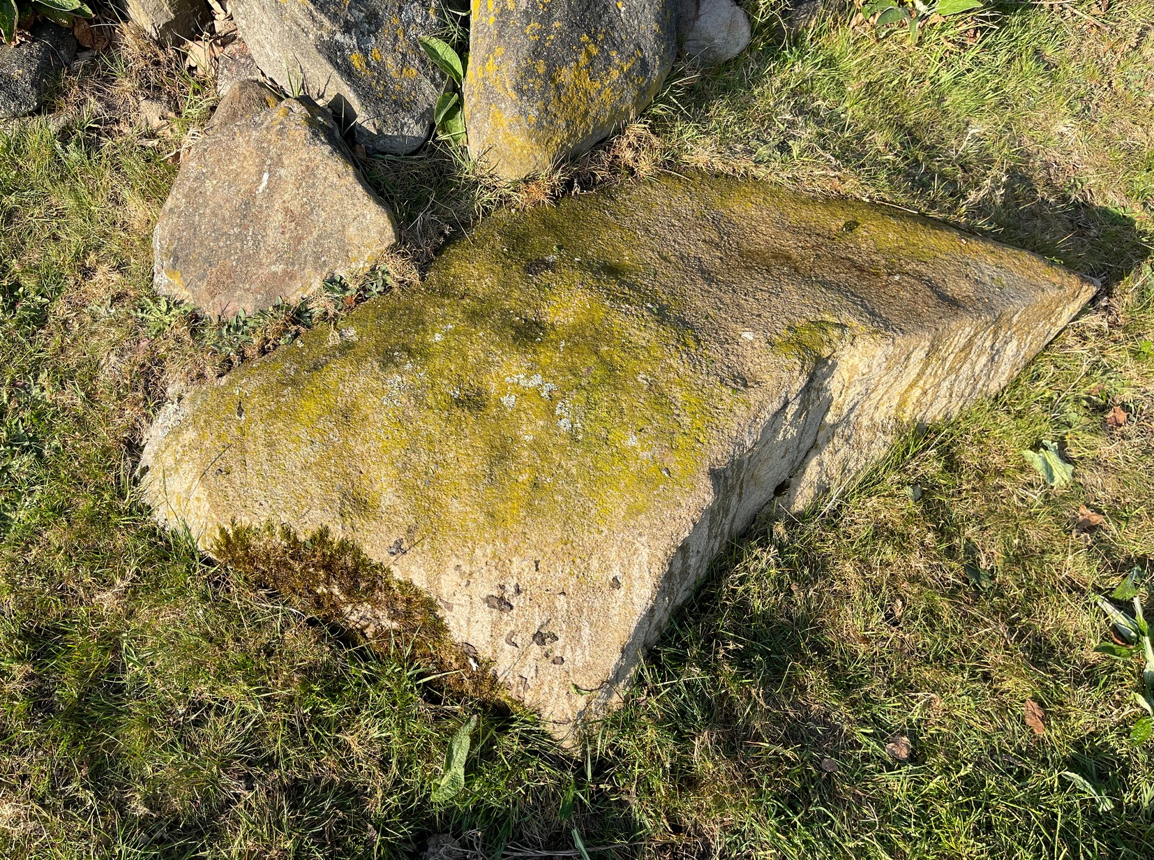
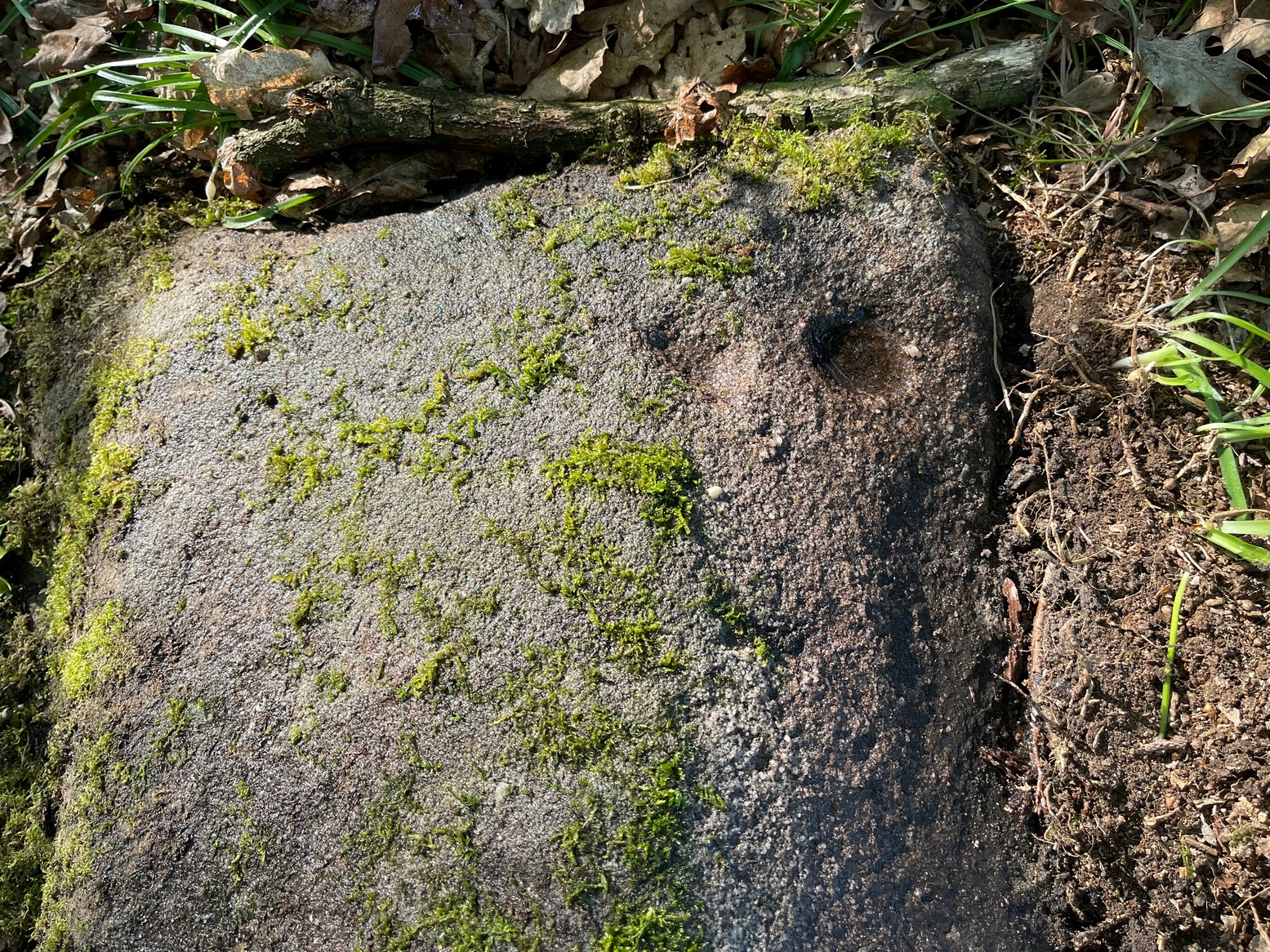
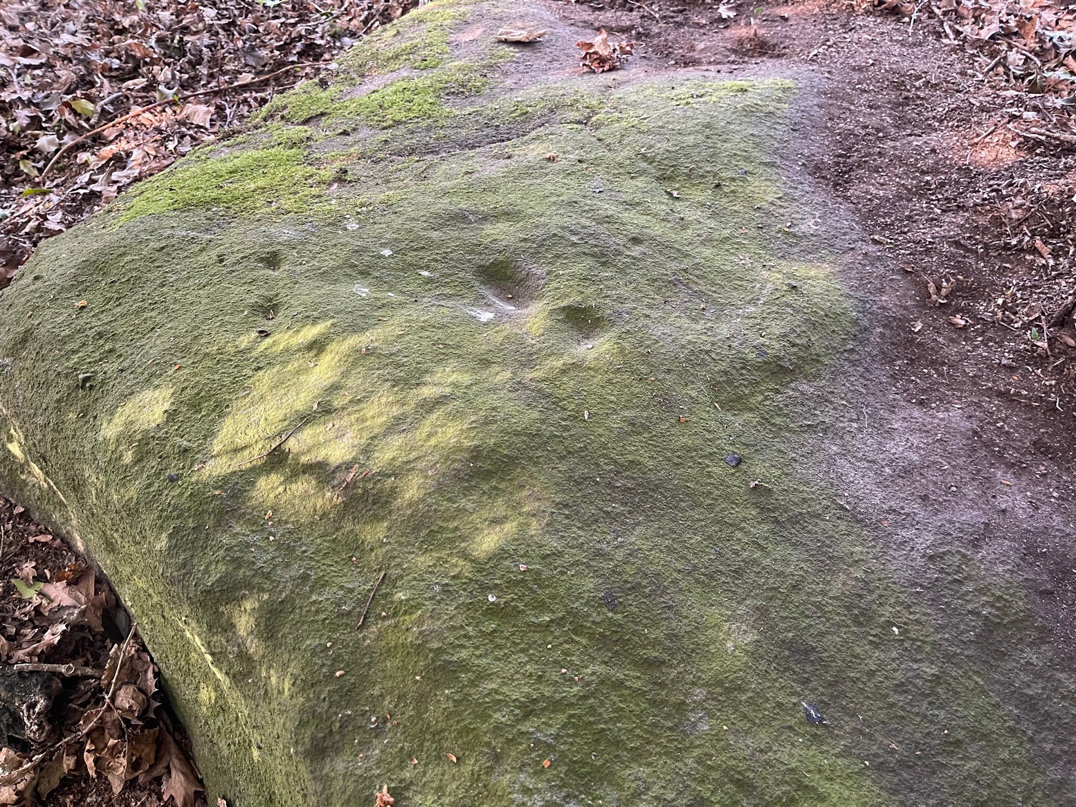
A small, seemingly broken cup-marked stone that may have once been part of a prehistoric tomb, found itself being included in an old wall at some time in the not-too-distant past: in the south-facing wall of the cricket ground at the top end of town. No one seemed to know it was there until it was noticed in the 1950s by a local man who brought it to the attention of Sidney Jackson (1958), editor of the local Bradford archaeology mag at the time. Jackson visited the site and thankfully did a sketch of what it looked like, before it was removed at a later date. He wrote:
“The small rectangular stone bearing four cup-shaped hollows…is another of Mr George Pritchard’s finds. It forms part of the high wall which bounds the Baildon Cricket Club’s ground in Jenny Lane… Its appearance suggests that it is part of a Bronze age cup-marked rock which was split to make building stones.”
Following its removal more than twenty years ago, it ended up in the hands of a dude from Cononley called Gerald Wright. I’m not sure whether it still lives over there or has subsequently found a new abode. Does anyone know what’s become of it…?
Folklore
Although there’s nothing specific to this carving, the place where it was found, on Jenny Lane, was where a phantom black dog used to be seen in bygone years. It was renowned as the harbinger od death.
References:
- Jackson, Sidney, “Cup-Marked Stone in Jenny Lane, Baildon,” in Cartwright Hall Archaeology Group Bulletin, volume 3, part 10, 1958.
© Paul Bennett, The Northern Antiquarian