Tun Well, Eccleshill, Bradford, West Yorkshire

Healing Well:  OS Grid Reference – SE 1822 3593

Also Known as:

  1. Tunny Well

Archaeology & History

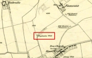
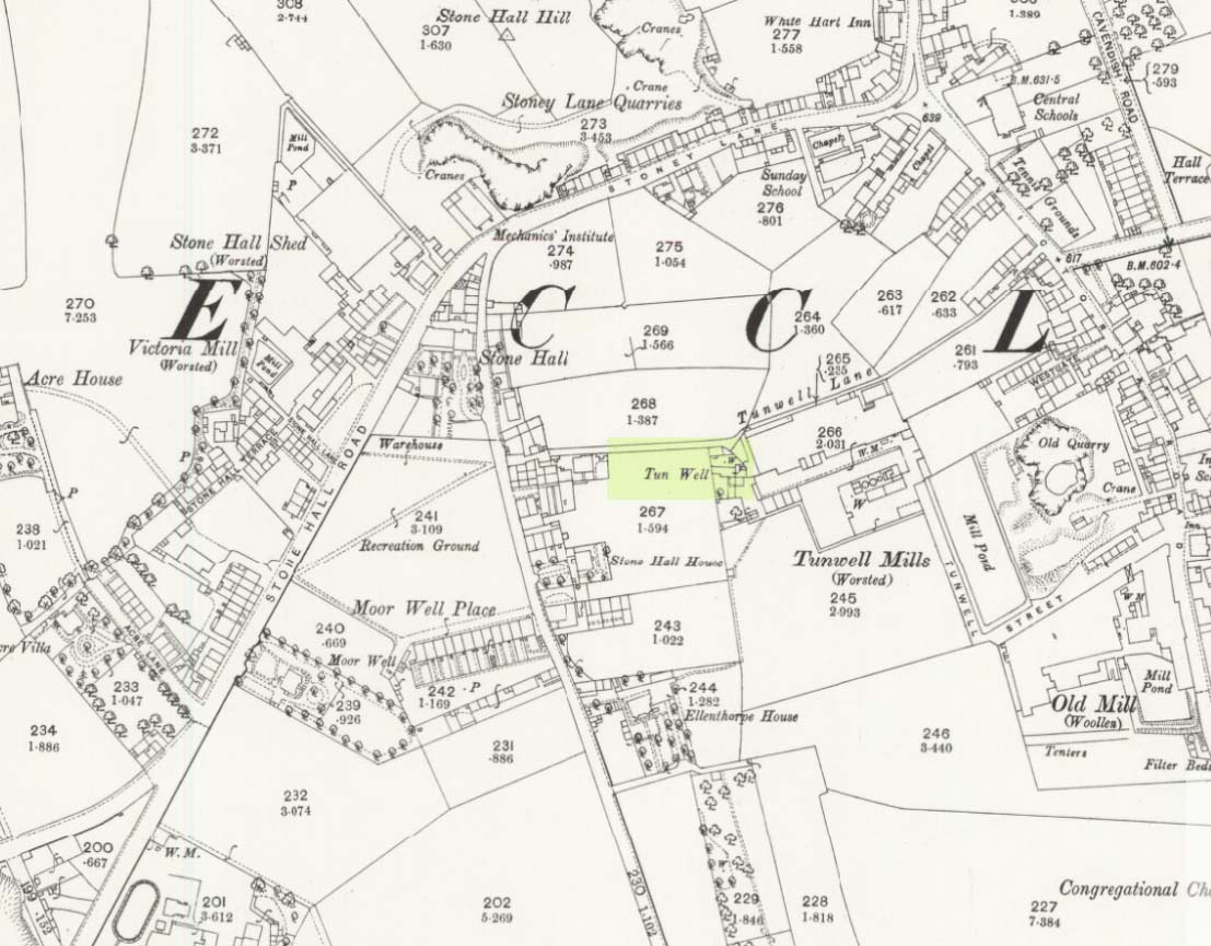
Tun Well, on 1893 map

First mentioned in local history accounts from 1618—as the Tunwells—it was highlighted on the first OS-map of Eccleshill in 1851.  Located on the aptly-named Tunwell Lane, it was a deep well covered by a large flat slab of stone, at the back-end the old Victorian mill.  The stone was put there to prevent children falling into it.  Some old locals thought the name of the place derived from a ‘tun’, or hundred, meaning it to be a hundred feet deep; although as A.H. Smith (1961) tells, tun could equally relate it to be one of Eccleshill’s town wells, of which there were several.  It used to be one of the principal drinking supplies for the village and was said to rarely run dry.  In William Ranger’s (1854) survey, he told this to be one of the sites to which local people relied in times of drought, where the land-owner allowed local folk to collect their supplies.

Folklore

The old cobbled Tunwell Lane was long ago supposed to be the haunt of a phantom black dog: a visionary precursor of death and Underworld guardian. Its spirit came and went into the deep well.  I remember hearing tales of this when I was a young lad, as the old women who worked in the adjacent mills spoke of it.  The ghost of a so-called ‘white lady’ was also said to walk along Tunwell Lane.

In more recent times, Val Shepherd (2002) included this in her short survey of wells in the area as being on “an alignment” with Eccleshill’s Moor Well and Holy Well.  She thought “it may be part of a ley line”, but her alignment is inaccurate and doesn’t hit the spots.

References:

  1. Crapp, H.C. & Whitehead, Thomas, History of the Congregational Church at Eccleshill, Watmoughs: Idle 1938.
  2. Ranger, William, Report to the General Board of Health on a Preliminary Inquiry into the Sewerage, Drainage, and Supply of Water, and the Sanitary Condition of the Inhabitants of the Township of Eccleshill, George Eyre: London 1854.
  3. Shepherd, Val, Holy Wells of West Yorkshire and the Dales, Lepus: Bradford 2002.
  4. Smith, A.H., The Place-Names of the West Riding of Yorkshire – volume 3, Cambridge University Press 1961.

© Paul BennettThe Northern Antiquarian


Swithins Well, Rothwell, West Yorkshire

Healing Well (destroyed):  OS Grid Reference – SE 3442 2686

Also Known as:

  1. St. Swithin’s Well

Archaeology & History

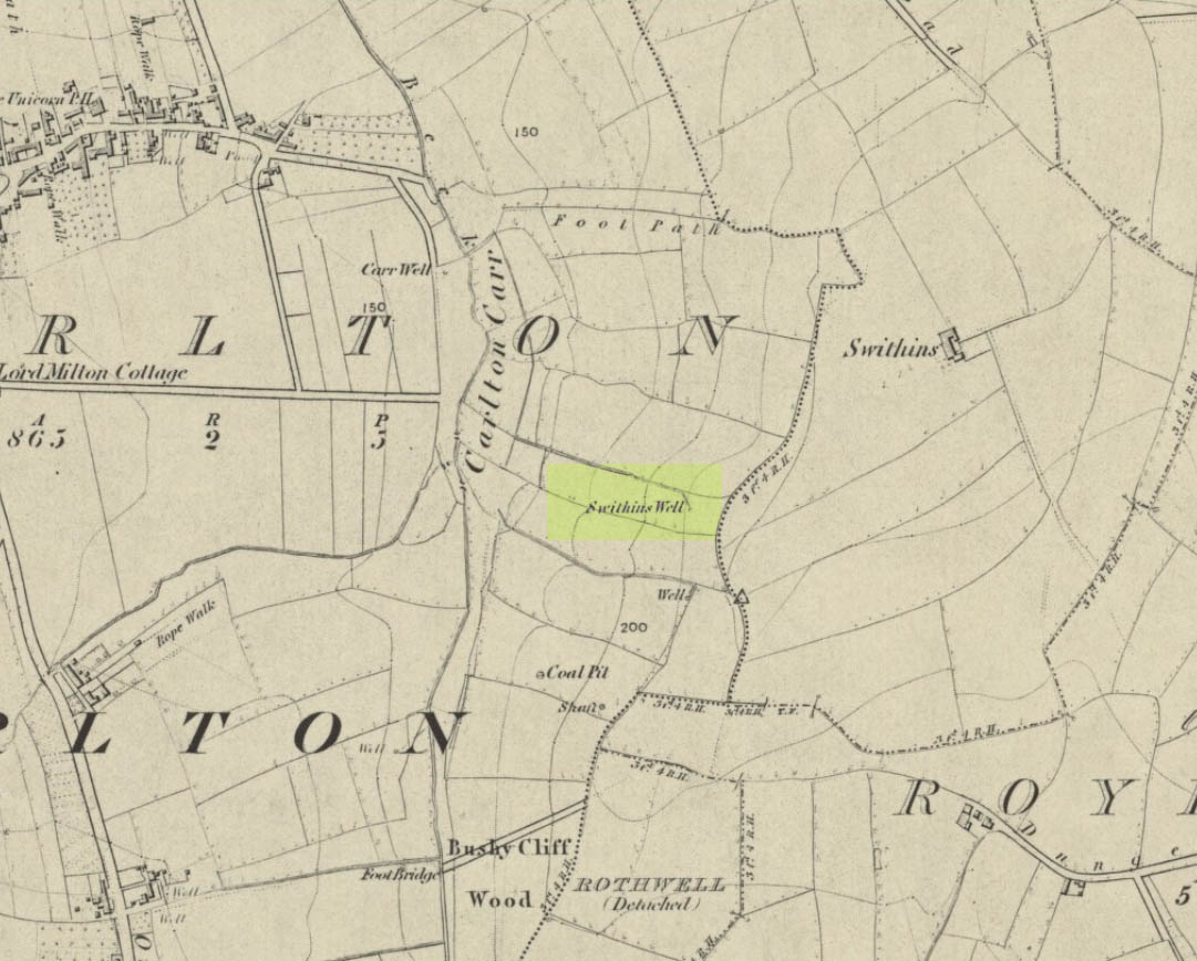
Swithins Well on 1854 map

Highlighted in the fields on the south-side of Rothwell village on the 1854 OS-map, Swithin’s Well was, according to historian Andrea Smith (1982), previously known as a holy well, dedicated to the obscure Saxon saint of the same name.  Although no ‘well’ relating to St Swithin comes from any early texts, the field and farmhouse of ‘Swithins’ were cited in records from the Cartulary of Nostell Priory in 1270 CE; then subsequently in a variety of records throughout the 14th, 15th and 16th centuries.  According to Miss Smith (1982),

“The first recording of St Swithin’s Well, Rothwell…was on an estate map of 1792 (‘Plan of St. Clement’s lands in the parish of Rothwell in the County of York, two-third part of the tithes of corn and grain of which belong to the King in right of His Ducky of Lancaster’, PB), and the field-names arising from it—Swithin’s, Swithin’s Barn, Swithin’s Lane Close—serve to give an indication of the well’s past importance as a local landmark.”

When she visited the site around 1980, she reported finding,

“several wet patches running in a line westwards downhill, but the farmer’s wife seemed certain that this was a broken drain and nothing else could be seen in that field or neighbouring ones, which could have been the well.”

Very recently, the Wakefield pagan and antiquarian Steve Jones went to see if the well or any remains of it could still be seen and told us:

“We went looking for the well down a footpath but it was obviously filled in when a colliery was nearby in the early 20th century and (there is) no trace of any spring now.”

Another one’s bitten the dust, as they say…..

But we must note that the grand place-name authority, A.H. Smith (1962) found no references to St. Swithin here and instead suggested the name derived from the old Norse word, sviðinn, ‘land cleared by burning’, which is echoed in the old local dialect word swithen, ‘moorland cleared by burning’ (Smith 1956), and similarly echoed in Joseph Wright’s (1905) magnum opus, where—along with meaning ‘crooked, warped’—it means “to burn, superficially, as heather, wool, etc.”   There is also a complete lack of any mention to the saintly aspects of this place in John Batty’s (1877) primary history book on Rothwell parish, and yet he cites numerous other springs and wells in the region that have fallen out of history.

References:

  1. Batty, John, The History of Rothwell, privately printed: Rothwell 1877.
  2. Jones, Steve, Personal communication, Facebook 27.08.2018.
  3. Rattue, James, “The Wells of St Swithun,” in Source, Summer 1995.
  4. Smith, Andrea, “Holy Wells Around Leeds, Bradford & Pontefract,” in Wakefield Historical Journal 9, 1982.
  5. Smith, A.H., The Place-Names of the West Riding of Yorkshire – volume 2, Cambridge University Press 1961.
  6. Smith, A.H., English Place-Name Elements – volume 2, Cambridge University Press 1956.
  7. Wright, Joseph, English Dialect Dictionary – volume 5, Henry Frowde: Oxford 1905.

Acknowledgements:  Many thanks to Steve Jones of Wakefield for his informing us about the status of this site.

© Paul BennettThe Northern Antiquarian


St. Patrick’s Well (1), Dunruchan, Muthill, Perthshire

Holy Well:  OS Grid Reference – NN 77905 17365

Getting Here

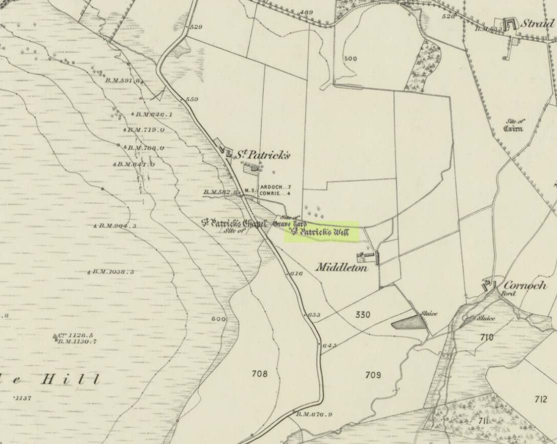
St Patricks Well on 1863 map

Take the B827 road between Comrie and Braco. If you’re coming via Comrie, going uphill for 3.1 miles (5.1km); but if from Braco Roman Camp go along and eventually downhill for 6.6 miles (10.6km), watching out for the track to Middleton Farm by the roadside.  Walk along for 125 yards, keeping your eyes peeled for the boggy ground below on your left. You’re there!

Archaeology & History

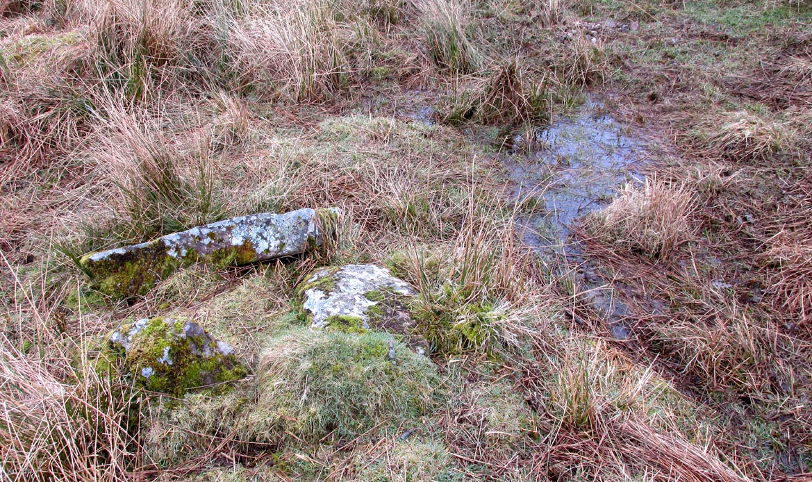
Immediately east of the prodigious megalithic complex of Dunruchan, bubbling up amidst the usual Juncus conglomeratus reeds, are the boggy remnants of St. Patrick’s Well—one of two such sacred wells dedicated to the early Irish saint in Muthill parish. We’re at a loss as to why this Irish dood has such sites in his name in this area.  No doubt some transitional shamanic character was doing the rounds in this glorious landscape, muttering words of some neo-christian animism, eventually settling a mile from the great megalithic complex, perhaps hoping—and failing—to convert our healthy heathen populace into ways unwise.

The shallow boggy waters
The site of St Patricks Well

Whatever he may have been up to, a small stone chapel was built hereby and, it was said, even a christian graveyard, to tempt folk away from the ancient plain of cairns whence our ancestors had long since buried their dead.  But the christian’s chapel and graveyard has long since gone; and when historians before me had visited the place, St Patrick’s Well had also fallen back to Earth in the drier summers, taking the blood of the Earth back into Her body.  The heathen megaliths still remain however, standing proud on the moorland plain in clear sight from these once healing waters, whose mythic history, on the whole, has long since been disregarded….

Folklore

St Patrick’s day on March 17—”a date very near the Spring Equinox,” as Mrs Banks (1939) reminded us—may have been the dates when the waters here were deemed particularly efficacious, although we have nothing in written accounts to tell us for sure. But in the 19th century Statistical Account we find that the site was “much frequented once, as effectual in curing the hooping cough.”  E.J. Guthrie (1885) told of an ancient rite regarding the drinking of the waters for effect of the cure, saying:

“In the course of this century a family came from Edinburgh, a distance of nearly sixty miles, to have the benefit of the well. The water must be drunk before sunrise or immediately after it sets and that out of a “quick cow’s horn”, or a horn taken from a live cow, and probably dedicated to this saint.”

Also in Muthill parish, Guthrie told, St Patrick’s memory was held in such veneration that farmers and millers did not work on his day.

References:

  1. Banks, M. MacLeod, British Calendar Customs: Scotland – volume 2, Folk-lore Society: Glasgow 1939.
  2. Booth, C. Gordon, “St Patrick’s Well (Muthill Parish),” in Discovery & Excavation, Scotland, New Series volume 1, 2000.
  3. Guthrie, E.J., Old Scottish Customs, Thomas D. Morison: Glasgow 1885.
  4. MacKinlay, James M., Folklore of Scottish Lochs and Springs, William Hodge: Glasgow 1893.
  5. Morris, Ruth & Frank, Scottish Healing Wells, Alethea: Sandy 1982.

© Paul BennettThe Northern Antiquarian


St. Blane’s Well, Dunblane, Stirlingshire

Holy Well (lost):  OS Grid Reference – NN 781 015

Also Known as:

  1. Bruce’s Well

Archaeology & history

Very little is known about this long-lost site, mentioned just once in Alexander Barty’s (1944) standard history book on Dunblane.  Its exact location is difficult to cite with any certainty, although a ‘Well’ is marked on the 1862 OS-map not far from where Mr Barty proclaimed it to be:

“In the close known as Regent’s Square in Braeport, opposite the public school, was a well called Bruce’s Well and also St Blane’s Well, and probably water from this supplied a well in Cathedral Market Garden to the west.”

Position of St. Blane’s Well?

St Blane is a Celtic saint whom tradition says gave his name to the town and whose festival date is August 10.  In the area of the Allan Water St Blane was said to have set up his cell, which eventually became the prestigious ceremonial temple known as Dunblane Cathedral (although some evidence points to his original settlement being on the higher ground above the cathedral).  Originally born on the Isle of Bute around 565 CE, another St Blane’s Well can be found at Kingarth on his home island.

References:

  1. Armitage, Paul, The Holy Wells of Stirling and District, TNA 2019.
  2. Barty, Alexander B., The History of Dunblane, Eneas Mackay: Stirling 1944.
  3. Towill, Edwin Sprott, The Saints of Scotland, St Andrews Press 2012.

© Paul BennettThe Northern Antiquarian


St. Finglassin’s Well, Kinglassie, Fife

Holy Well: OS Grid Reference – NT 22797 98814

Also Known as:

  1. Canmore ID 52894
  2. St Finglassin’s Well 
  3. St Glass’s Well 

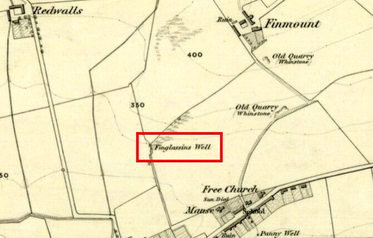
Finglassins Well on early OS-map

Getting Here

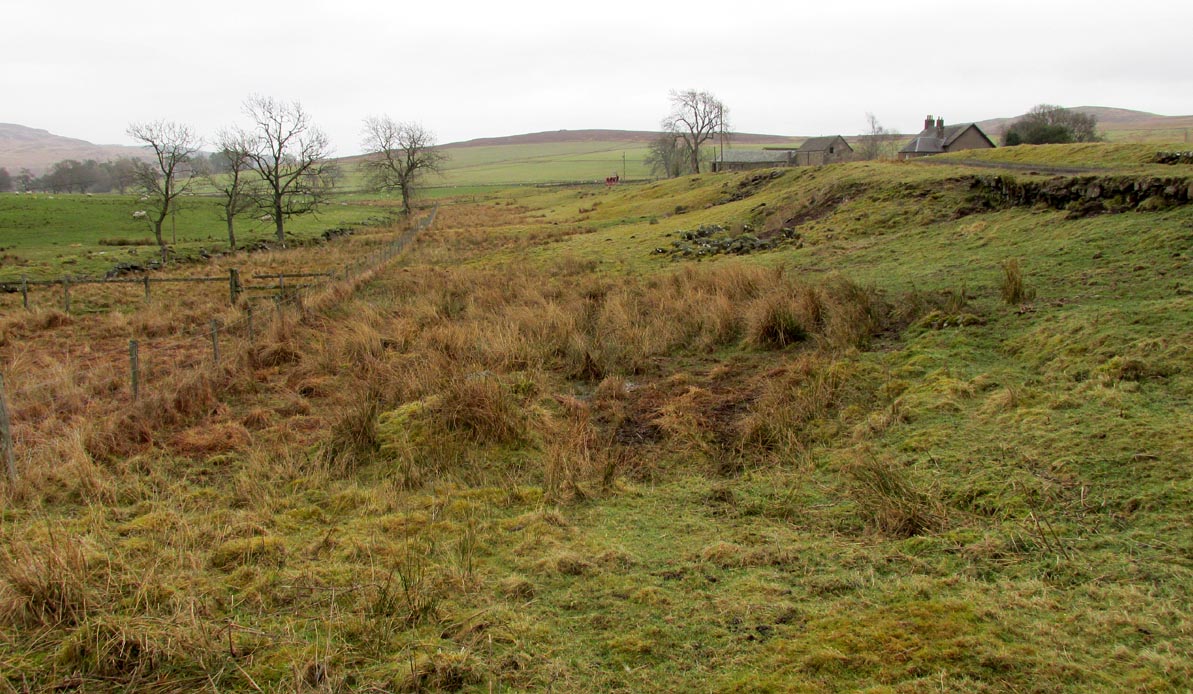
In Kinglassie village, from the Main Street follow Redwells Road and turn right where it forks and follow the track until you get to the derelict ground; then turn left up the slope, following the eastern (right hand) edge of the wall up to the well.

Archaeology & History
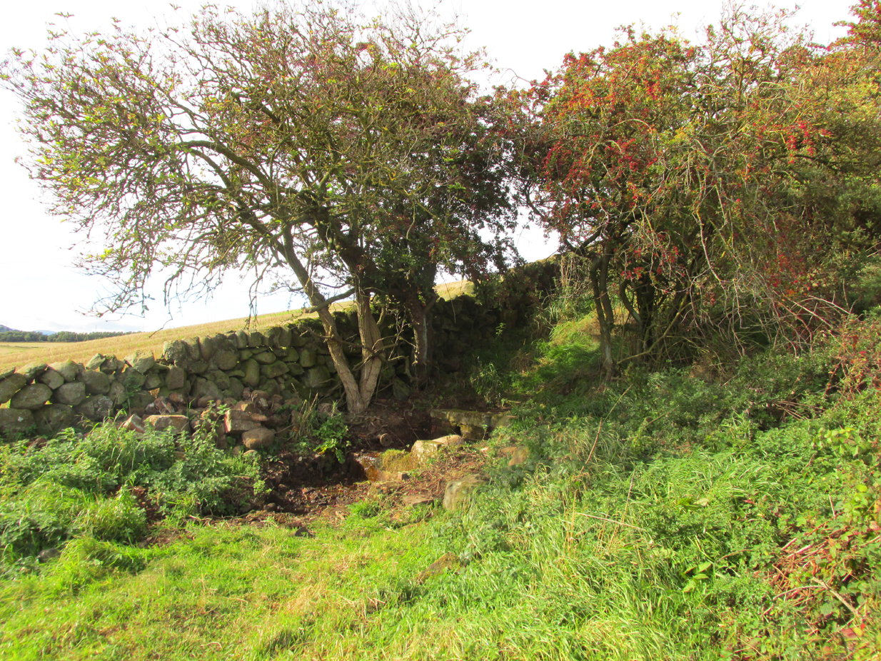
Under its bower of hawthorn & elder

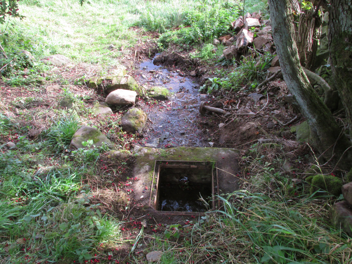
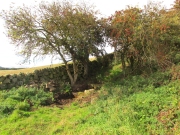
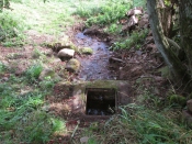
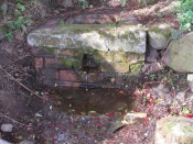
Sheltered under its bower of hawthorn and elder bushes, at a distance it has the romantic look of an ancient holy well.  But close up, the spring issuing from Finglassins Well shows evidence of having been connected up to the public water supply, with ugly brickwork and pipes obliterating any previous structures that may or may not have existed there. There even seems to be doubt as to its name. Ordnance Survey and Nicolson Street Atlas show it as ‘Finglassins Well’. According to the Canmore citation, which lists it as ‘St Finglassin’s Well’ or ‘St. Glass’s Well’:

This spring is now piped into a trough. There are several boulders nearby but no dressed stone and it is doubtful if there was ever any structure here. It is known by both names.
A well of fine water…
Past industrial despoilation..

So who was the patronal saint, who is remembered variously as Finglassin, Glass, Glascianus, and Glastian? There seems to be some difference of opinion among the various sources, even as to whether any saint existed at all.  Alban Butler, in his Lives of the Saints, tells:

“St. Glastian, Bishop and Confessor in Scotland: HE was a native of the county of Fife, and discharged in the same, during many years, the duties of the episcopal character with which he was honoured. Amidst the desolation which was spread over the whole country, in the last bloody civil war between the Scots and Picts, in which the latter were entirely subdued, St. Glastian was the comforter, spiritual father, and most charitable protector of many thousands of both nations. He died in 830, at Kinglace in Fifeshire, and was particularly honoured in that country, and in Kyntire. According to the ancient custom of that country, his name is frequently written Mac-Glastian, the word Mac signifying son.”

Bishop Forbes of Brechin, writing of St Glascianus in Kalendars of Scottish Saints:

“Of the life of the saint we have no details. The collect in the Breviary runs in these terms – ‘Grant we beseech Thee, Almighty God, that we, who celebrate the anniversary of blessed Glascianus, Thy confessor and bishop, may by the intercession of his devout prayers, be deemed meet to attain to eternal joys through out Lord’ He is known in the parish of Kinglassie (or Kinglassin), near Kirkcaldy, of which frequent mention is made in the Register of Dunfermline.”

In the Old Statistical Account of 1792, Reverend James Reid, writing of the origins of Kinglassie:

“It is the opinion of some, that the name is originally Gaelic, and expressive of the situation; others trace it from a saint, whose name was Glass, and point out a well of fine water, called St. Glass’s well.”

Reverend J.M.Cunnynghame, in the New Statistical Account of 1845 wrote:

“While some have supposed that the village after which the parish is called, derives its appellation from a spring denominated St Glass’s Well, others, with apparently greater reason, have traced the name to Gaelic words signifying the ‘head of grey land’. This idea seems to be corroborated by the large extant of inundated, marshy, and mixed surface which….still stretches itself to the immediate vicinity of the village. The preferable conjecture concerning the the derivation of the name acquires additional support from the circumstance, that a locality, somewhat elevated above the channel, along which the water runs from the swamp alluded to, has received the appropriate designation of ‘Finglassie’ signifying the ‘termination of the gray land, or mixed bog.”

W.J.Watson, in The Celtic Place Names of Scotland gives the derivation of Kinglassie from the gaelic ‘cill glaise’ – ‘church of the brook’, and further:

“A well near the church is known as St Glass’s Well or St Finglassin’s Well. Here again, the stream ‘glais’ on which the church stands has been made into a saint; Findgassin is ‘find glaisín’ – ‘holy streamlet’. Near the church is an eminence called Finmont, for ‘finn monad’, later ‘fionn mhonadh’ – ‘white hill’, here probably ‘holy hill’. The real saint of Kinglassie is unknown.”
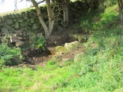
A closer view

I am inclined to discount Cunnynghame’s laboured interpretation in view of Watson’s later linguistic analysis, as well as bearing in mind he was a minister of a Kirk that went out of its way to deny and denigrate the native pre-Reformation saints. Because of its position and ambience despite past industrial despoilation, I am inclined to a saintly attribution to the well, which as in so many cases in Scotland has lost its true history owing to the depredations of the Reformation. If Watson’s interpretation of ‘Finmont’, ½ mile north-east of the well, is indeed ‘Holy Hill’ then Finglassins Well may have been a part of an ancient, perhaps heathen ritual landscape.

References:

  1. Reid, James, Parish of Kinglassie, Old Statistical Account, Fife, 1792.
  2. Cunnynghame, J.M. Parish of Kinglassie, New Statistical Account , Fife, 1845.
  3. Butler, Alban, The Lives of the Fathers,Martyrs and Other Principal Saints, James Duffy: Dublin 1866.
  4. Forbes, Bishop A.P., Kalendars of Scottish Saints, Edmiston & Douglas: Edinburgh 1872.
  5. Watson, W.J., The Celtic Place Names of Scotland, (revised edition), Birlinn, Edinburgh, 2004 (originally published 1926).

© Paul T. Hornby 2018

Devil’s Well, Abernethy, Perthshire

Sacred Well:  OS Grid Reference – NO 19430 14758

Also Known as:

  1. Canmore ID 28084

Getting Here

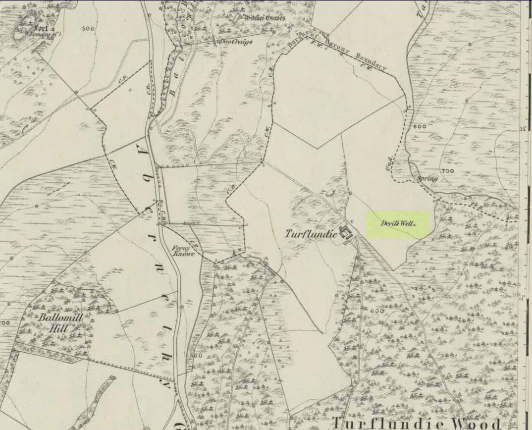
Devil’s Well on 1860 map

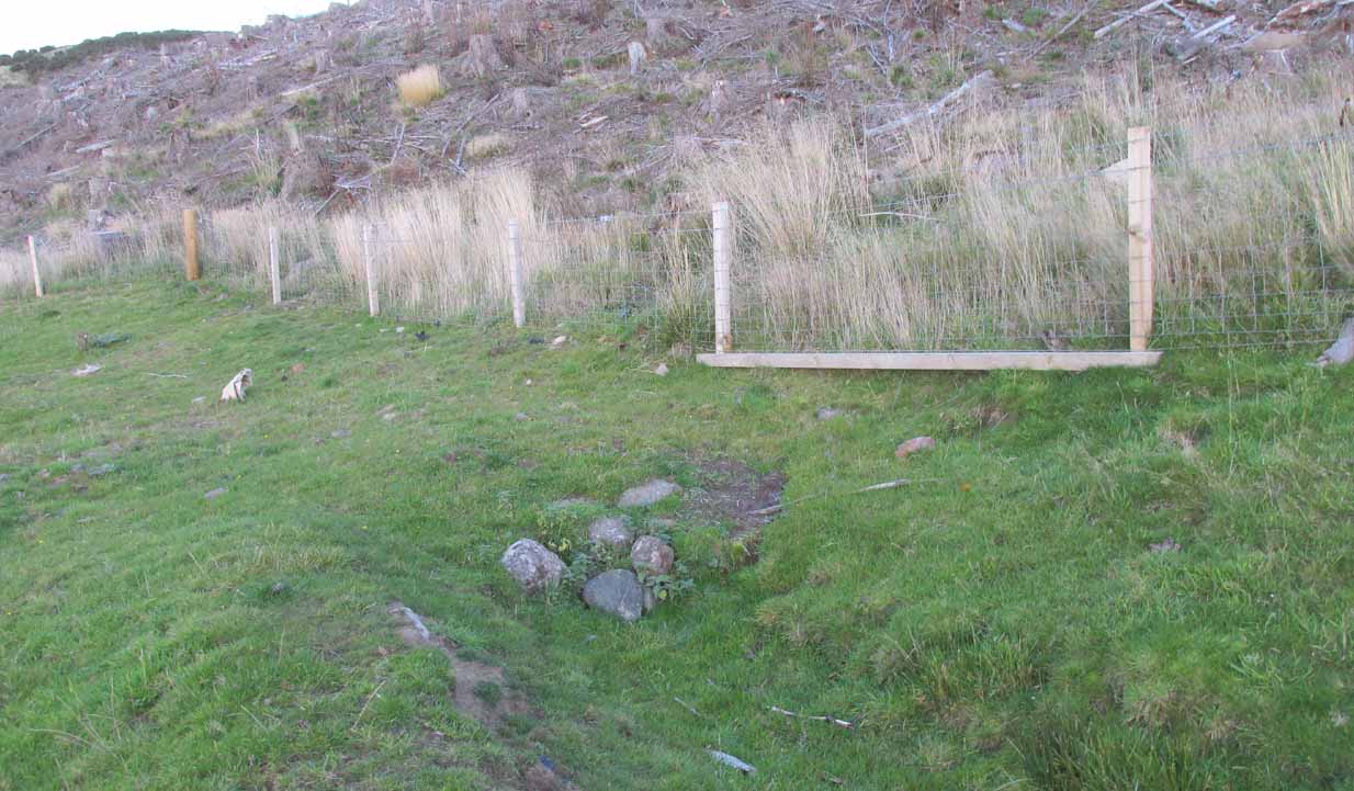
From Abernethy village, go west along the A913 road for half-a-mile, then turn left up the long and winding Glenfoot road up the Abernethy Glen.  About a mile up on your left-side is Craigden Farm and, just a bit past this, the forestry plantation.  Just before the trees, cut up the field and head uphill, passing the near forest of gorse, until you reach the huge detached house of Turflundie.  In the field immediately east, right up against the barbed-wire fence where it meets the depleted forestry, a very small trickle of water emerges beneath a small pile of rocks.  You’re here!

Archaeology & History

Long since thought to have been lost, the trickling remains of this old Well of the Devil are, in fact, still running beneath the pile of stones just over the barbed-wire fence on the edge of the forestry section.  A cluster of other worn rounded rocks scatter the ground just to the rear of where the water first comes out of the ground, suggesting, perhaps, that a small well-house covered the spring; but this is me being speculative, as there’s no mention of this in the early writings of the Ordnance Survey lads, nor is one shown on the first OS-map of the area in 1860.  And you’ll see on the OS-map how the well is slightly lower than where it presently trickles, but this is down to the fact that the source of it was piped-off at sometime in the not-too-distant past, as evidenced by remains of such piping laying just over the barbed-wire fence close to the source.  In truth, unless you’re hardcore, there’s very little to see.

Folklore

The trickling waters are on the other side of this fence

The dedication of this water-site to the christian ‘devil’ is obviously a corruption of its original traditional name, which may have simply been to the Bodach, or ‘Old Man’ in Gaelic and northern British lore.  The bodach‘s consort is the great prima Mater of the northern realms known as the Cailleach, but I can find no dedication to Her anywhere nearby.  The best we have are the ‘Witches Graves’ a half-mile to the northwest, below the edge of the geological ridge overlooking Abernethy, where folklore tells us 22 women were murdered and buried by the local christians several centuries ago.

In the Ordnance Name Book of 1859, they recorded that,

“A small Spring well on the farm of Turflundie, so called from the mark of a cloven hoof on a near, supposed to have been made by his Satanic majesty when he stopped to quench his thirst at this well during some of his midnight rambles.”

There’s no apt word that follows the word “near”, but assume it was meant to be a “stone,” although we could find no such stone close by and there are no known petroglyphs that could account for that ingredient.

References:

  1. Morris, Ruth & Frank, Scottish Healing Wells, Alethea: Sandy 1982.

© Paul BennettThe Northern Antiquarian


Lady Betty’s Well, Leckie, Gargunnock, Stirlingshire

Holy Well:  OS Grid Reference – NS 69441 94687

Getting Here

Lady Bettys Well, nr Leckie

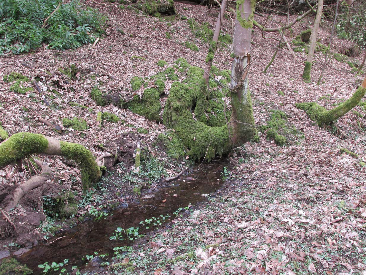
From Gargunnock village, take the road west towards Leckie, and then just before the right-angled bend in the road down towards the A811, bear sharp left, and then immediate right below the farmhouse along what looks like a private road taking you onto the Watson House mansion.  About 500 yards along, with trees either side of you, look down the small steep slope where a small burn (stream) is visible. Get down there and, where the waters bend away changing direction to head north, look carefully for a small spring of water emerging, just a few yards south of the stream itself, beneath a young tree.

Archaeology & History

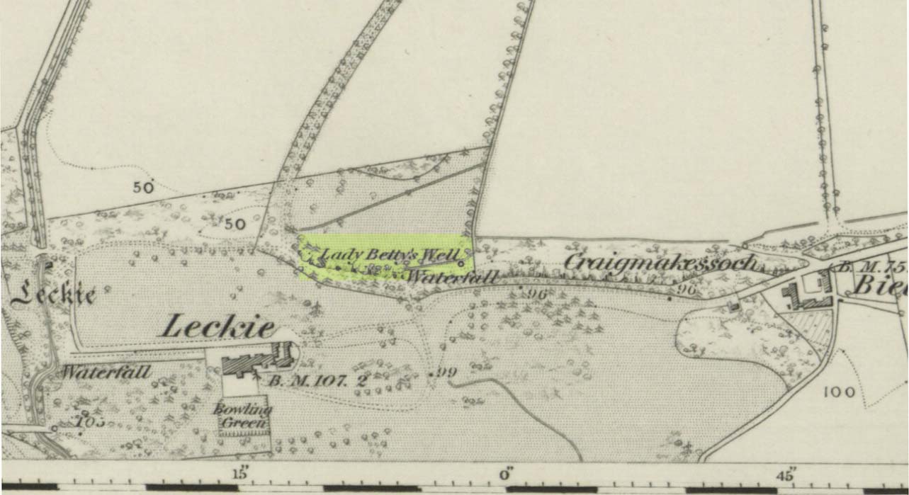
Lady Bettys Well on 1860 map

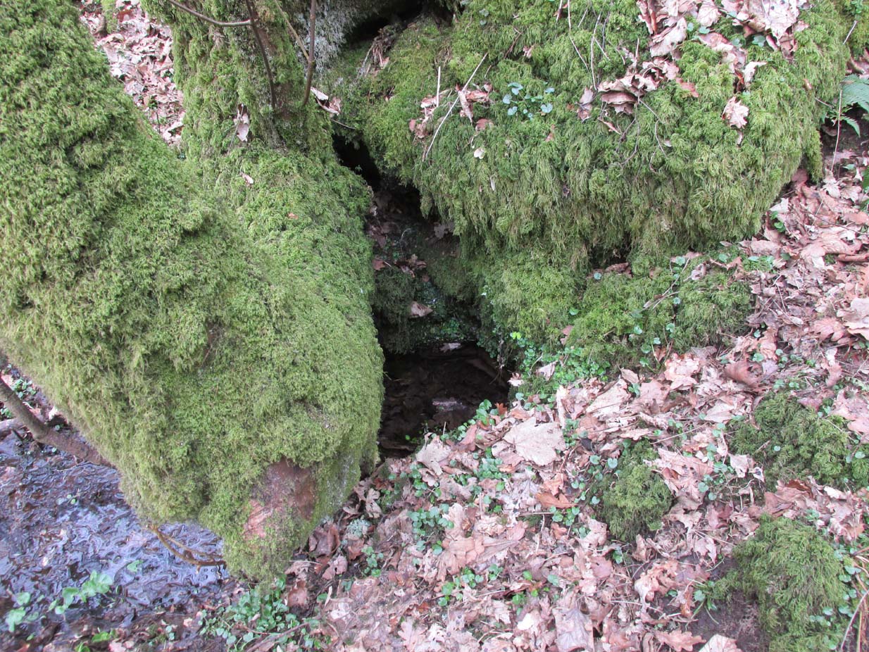
This all-but-forgotten water source is, thankfully, still running with clear waters below the wooded slopes.  It is highlighted on the first OS-map of the region in 1860, 50-60 yards east of a small but once-picturesque waterfall (now spoiled by a mass of industrial waste, dumped hereby).  Little seems to be known about its mythic history and, quite possibly, may have had something to do with our old cailleach.  May have…. I say this purely in relation to what was said about the site by the Ordnance Survey lads at the end of the 1850s when they visited the site and enquired as to its name and nature.  They told:

“A Small Spring issuing from under a rock like the mouth of a drain having no appearance of a Well.  It took its name (Betty) from an old woman who lived adjacent some two hundred years ago; there is no tradition or Antiquity connected with it – nothing more nor less than an Old woman’s well, but is well known in the neighbourhood by the name. Situated at the base of Craigmakessoch and about 10 chains north west of Leckie house.”

Water emerging by the roots

Although ‘Betty’ is obviously a shortening of Elizabeth, it’s the Old Woman’s bit that brings up the cailleach element, which may or may not be valid.  The small crag beneath which the spring still rises is known as ‘Craigmakessoch’, which Prof Paul Hornby thought might derive from a forgotten attribution to the little-known St. Makessog or Kessog. (are there any local folk who can clarify things?)

Were it not for the pollution due to the dumping here (in an otherwise beautiful place), it looks like the waters would still be drinkable – but we all decided to give it a miss…

© Paul BennettThe Northern Antiquarian


Marion’s Well, Falkirk, Stirlingshire

Healing Well (destroyed):  OS Grid Reference – NS 8926 7977

Archaeology & History

Marion's Well on 1864 map

Marion’s Well on 1864 map

Recorded in 1860 by the Ordnance Survey and highlighted several years later, this Marionesque potential of a holy well is not thought to derive its name from the usual Catholic pantheon—but it’s close!  It was obviously an important water source for the people of Falkirk in early times and its clear waters were used to supply an early washing house close by (as shown on the map).  Now completely built over where the B8080 meets the roundabout east of the town centre, the best literary account we have was penned by the regional historian Robert Gillespie (1879) who, in his survey of the area, told us:

“Of Marion’s Well there is scant record.  According to tradition it got its name from Marion Livingston—a nun of the house of Callendar who, in the performance of the sacerdotal vow which kept her from the world, visited the well at intervals and used its soft waters as a pediluvium.   The original well which was built round with stone, stood at the bottom of the Cladden’s Brae, on the bank of the East Burn.  It was further protected by a circle of upright slabs—the great resting place of the water maids and the scene of many a happy ‘touzle’ as the stoups or pitchers were sent rolling and rattling down into the brawling brook.”

Marion's Well, c.1900

Marion’s Well, c.1900

The element of locals “touzling” here simply means that it was a meeting place for young lovers. (Grant 1973; Wright 1905)  Although quite what Gillespie meant when he said it was surrounded “by a circle of upright slabs” is anyone’s guess!  Was this architectural element constructed in the post-medieval period, or was it much much older…?

In the old photo of the well here, Scott & Astbury (1990) said how it,

“shows the trough of the well after it had been moved to the south side of Callender Road and shows a horse pulling a Barr’s cart at the trough.  The view looks down what is now Corporation Street to the bridge over the East Burn.”

References:

  1. Gillespie, Robert, Round about Falkirk, Dunn & Wright: Glasgow 1879.
  2. Grant, William & Murison, David (eds.), The Scottish National Dictionary – volume 9, SNDA: Edinburgh 1973.
  3. Morris, Ruth & Frank, Scottish Healing Wells, Alethea: Sandy 1982.
  4. Reid, John, The Place-Names of Falkirk and East Stirlingshire, Falkirk Local History Society 2009.
  5. Scott, Marion & Astbury, Tom, Falkirk’s Yesterdays, FDD: Falkirk 1986.
  6. Wright, Thomas (ed.), English Dialect Dictionary – volume 6, Henry Frowde: Oxford 1905.

© Paul BennettThe Northern Antiquarian


Our Lady’s Well, Straiton, Loanhead, Midlothian

Holy Well (destroyed):  OS Grid Reference – NT 2728 6669

Archaeology & History

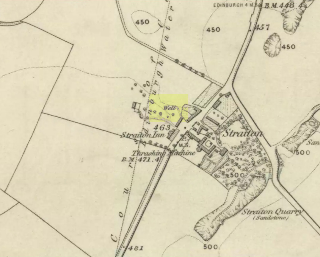
Our Ladys ‘Well’ on 1855 map

This is another all-but-forgotten holy well once dedicated to the Virgin Mary, close to the south-side of Edinburgh’s outer ring-road.  It would seem to have been one in a cluster of sacred wells not far from each other (with the two Jacob’s Wells and St. Margaret’s Well at nearby Pentland), whose traditional stories have fallen prey to the incredulity of ‘progress’.  I can find very little about the site, other than the note given it in George Good’s (1893) Liberton survey where, in stepping south towards the old hamlets of Broomhill and Straiton, he told:

“A little to the west of the hamlet, and near what was called Straiton Green, is an old draw-well dedicated to the Virgin, and known by the name of Our Lady’s Well. There may possibly have been a cell or chapel near this well, but no tradition or history regarding it is extant.”

We can only presume that the ‘Well’ which is highlighted on the first OS-map in 1855, maybe 20-30 yards west of the old road on what looks like a small park or ‘Green’, would be the ‘Lady Well’ in question. (another ‘Well’ is shown at Broomhill Cottage, which is unlikely to be the contender)

References:

  1. Bennett, Paul, Ancient and Holy Wells of Edinburgh, TNA 2017.
  2. Good, George, Liberton in Ancient and Modern Times, Andrew Elliot: Edinburgh 1893.

© Paul BennettThe Northern Antiquarian


Our Lady’s Well, Liberton, Edinburgh, Midlothian

Holy Well:  OS Grid Reference – NT 2640 7008

Also Known as:

  1. Canmore ID 52100
  2. Lady’s Well

Archaeology & History

In Thomas Whyte’s (1792) lengthy survey of Liberton village, as it was in the 1790s, we come across what seems to be the earliest description of this long-lost sacrede site on the northwest side of the parish.  In writing of the beauty of the countryside hereby in those times, he told how,

“on the north by the rivulet called Braid’s-burn, near which there is a well which has the appellation…of the Lady’s or Virgin Mary’s well, famous for its large current, and the salubrity and lightness of its waters.”

Site of Our Lady’s Well

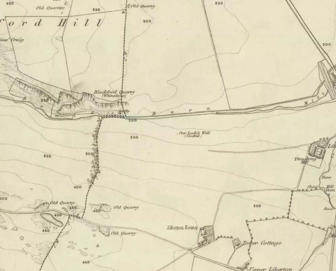
Our Ladys Well on 1855 map

Mr Whyte believed that its dedication to Our Lady went way back, probably before Liberton parish was given to St. Cuthbert in the 11th or 12th century (whose own holy well could once be found several miles north, near Leith).  Generally, wells that are dedicated to ‘Our Lady’, refer to the Virgin Mary; but prior to any christian affectation, the animistic genius loci of the waters would have been a local spirit.

It was visited and described by the Ordnance Survey lads in the Name Book of 1851, in which they said that Our Lady’s Well was,

“The site of a celebrated well situated in a hollow on the farm of Liberton Tower Mains, and dedicated to St. Mary, as it and the field is well known to be called to this day, “The lady’s Field” & Well”.  This well however about 50 years ago underwent a drainage during some improvements that were making on the land.  In its covered condition it takes a S.E. course till its Confluence with the Braid Burn where it is shown to this day as the water coming from the Lady’s Well, and from which a body of crystalized water flows copiously. It was supposed that a chapel was somewhere Convenient which gave rise to the name, but all traces have long since disappeared….”

“There is no tradition recorded among the County people as to whether this was a holy well, or resorted to for superstitious purposes. But it is well ascertained to have been once a remarkable well & an object well known and though now covered-in, the place is still well known, as is also the name.”

Although this holy well was shown on early and late 19th century OS-maps as ‘covered’,  trying to find its exact position today has proven difficult.  When Paul Hornby and I visited the site after some heavy rains in June, 2017, we found a large pool of water in the field exactly as shown on the old map.  This was, however, misleading, as the owner of the land and the Blackford Glen Western Riding school—a Mr John Fyfe—told us that they had, for years, always wondered about its exact position, but been unable to ascertain it with any certainty.  The pool in the field always appeared after the rains, he said.  He did tell us however, that many years ago when he was digging in order that the Braid Burn stopped flooding his property, he came upon a length of ancient piping running in the direction of the burn, some 5 or 6 feet down, whose use he could not ascertain—but which might have once conducted the waters from the Lady Well away.  No water was running through it though.

Near the middle of Liberton village a century or so ago, another holy well of the same name could once be seen less than a mile to the east.

References:

  1. Bennett, Paul, Ancient and Holy Wells of Edinburgh, TNA 2017.
  2. Good, George, Liberton in Ancient and Modern Times, Andrew Elliot: Edinburgh 1893.
  3. Walker, J. Russel, “‘Holy Wells’ in Scotland,” in Proceedings of the Society of Antiquaries of Scotland, vol.17 (New Series, volume 5), 1883.
  4. Whyte, Thomas, “An Account of the Parish of Liberton in Mid-Lothian, or County of Edinburgh,” in Archaeologia Scotica, volume 1, 1792.

Acknowledegments:  Huge thanks to John Fyfe and his wife for their help when we were exploring this site.

© Paul BennettThe Northern Antiquarian