Cup-and-Ring Stone: OS Grid Reference – NN 63874 23005
Getting Here
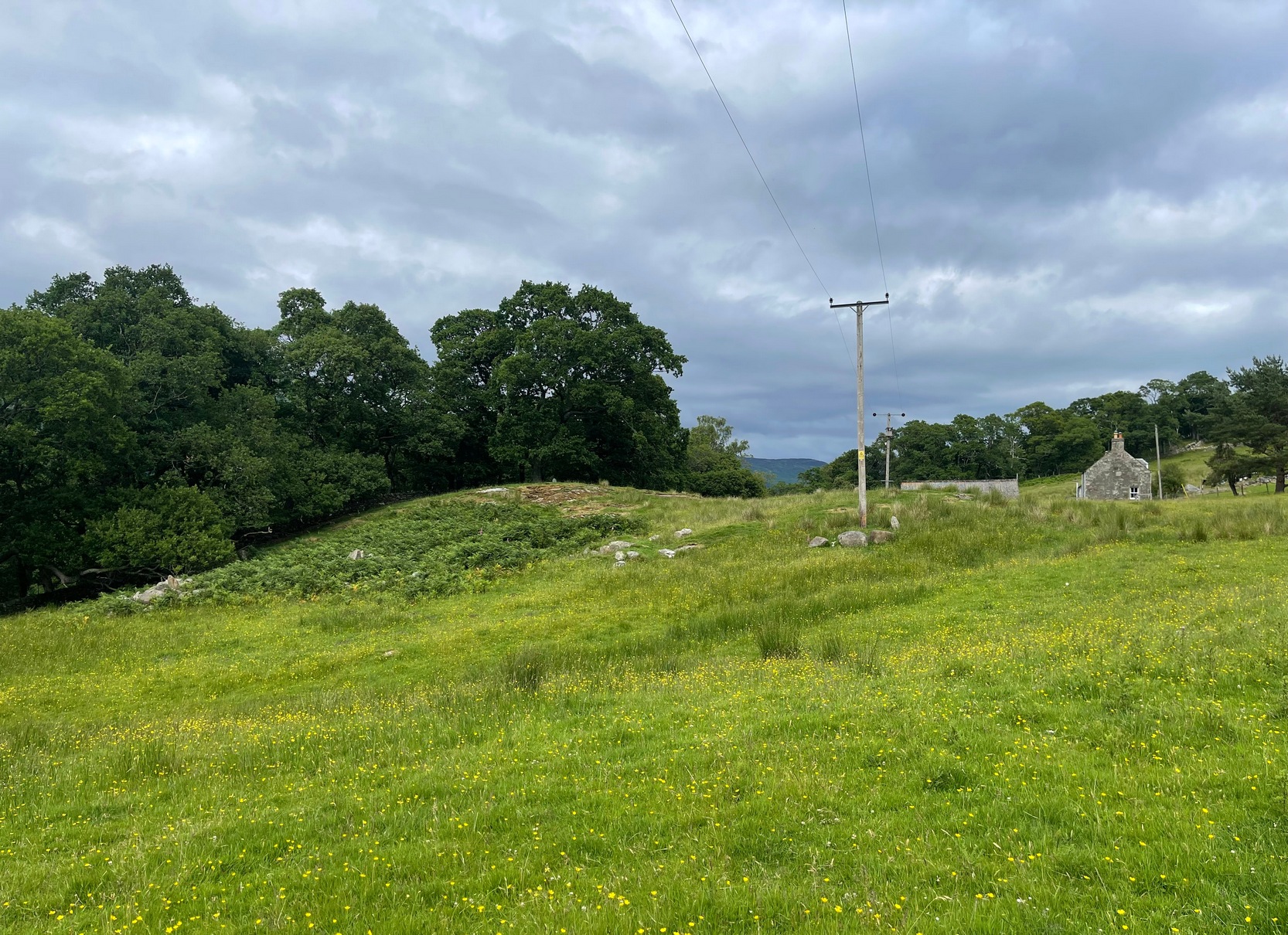
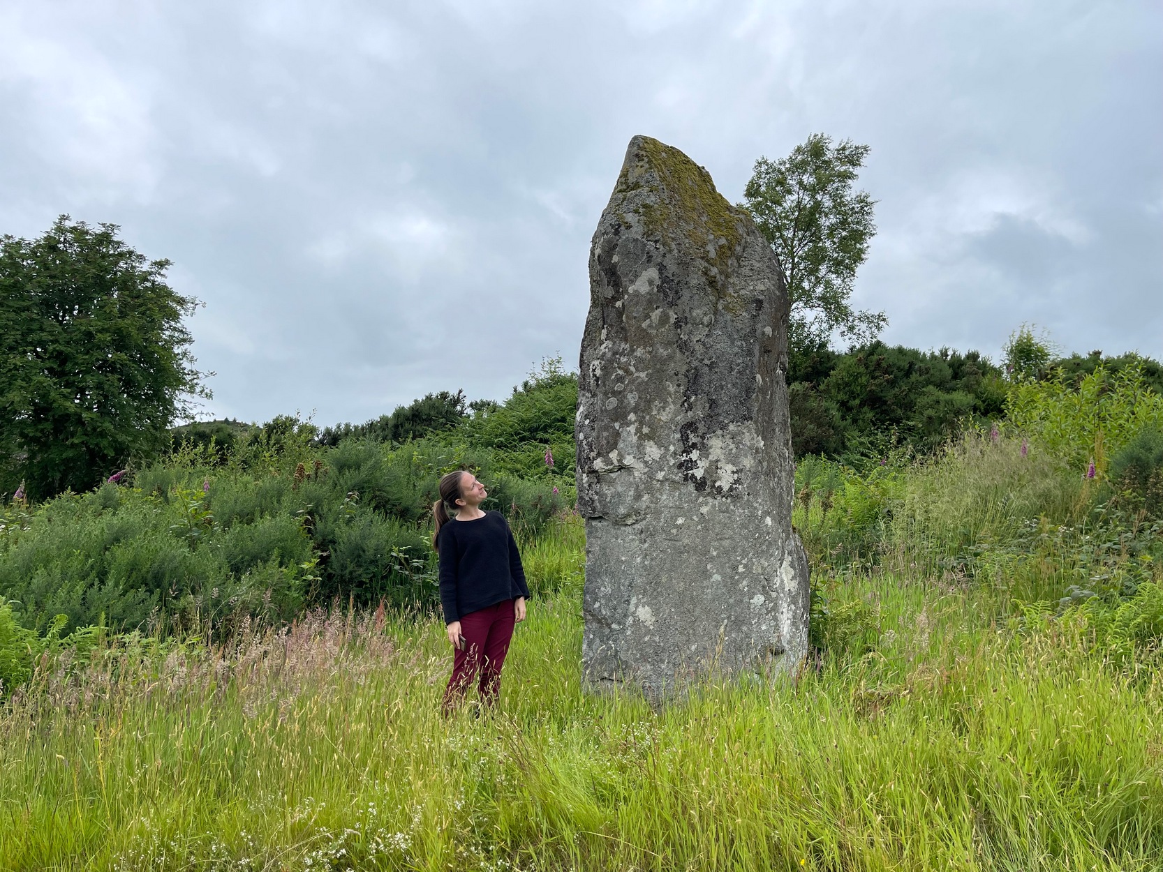
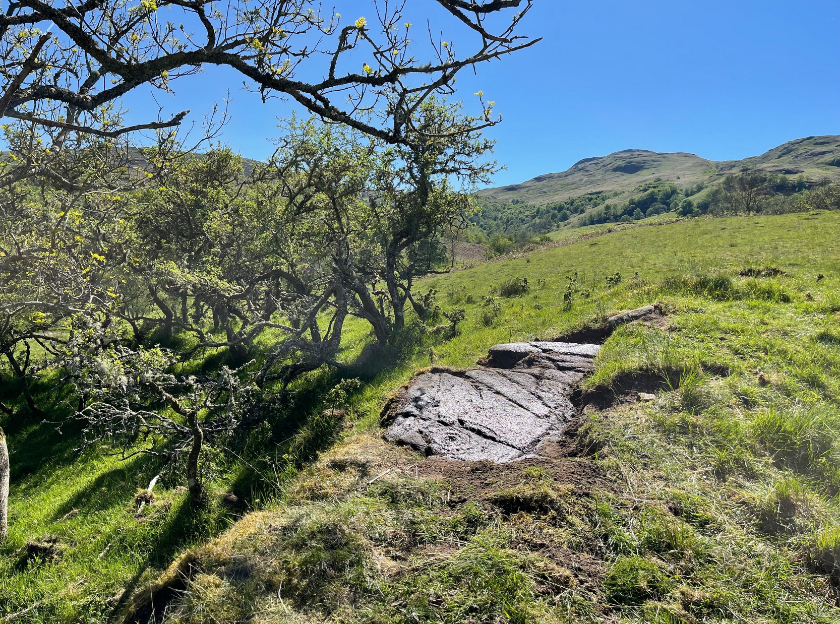
Go along the minor single-track road on the south-side of Loch Earn (between Edinample and the ugly Lochearn Leisure Park) and roughly halfway along the loch, there’s rough parking near Ardvorlich House (the starting spot for walking up Ben Vorlich). Walk east past the track to Ardvorlich, staying on the lochside road, for about 400 yards and then go up the dirt-track on your right. Walk up here for about 200 yards and, before you reach the trees, notice a small gate in the walling above you on your right, about 70 yards up the slope. Go through here and bear immediately left, up to the large oak on the large dome of rock. From the oak, with your back to the wall, take about 10 steps forward. You’re here!
Archaeology & History
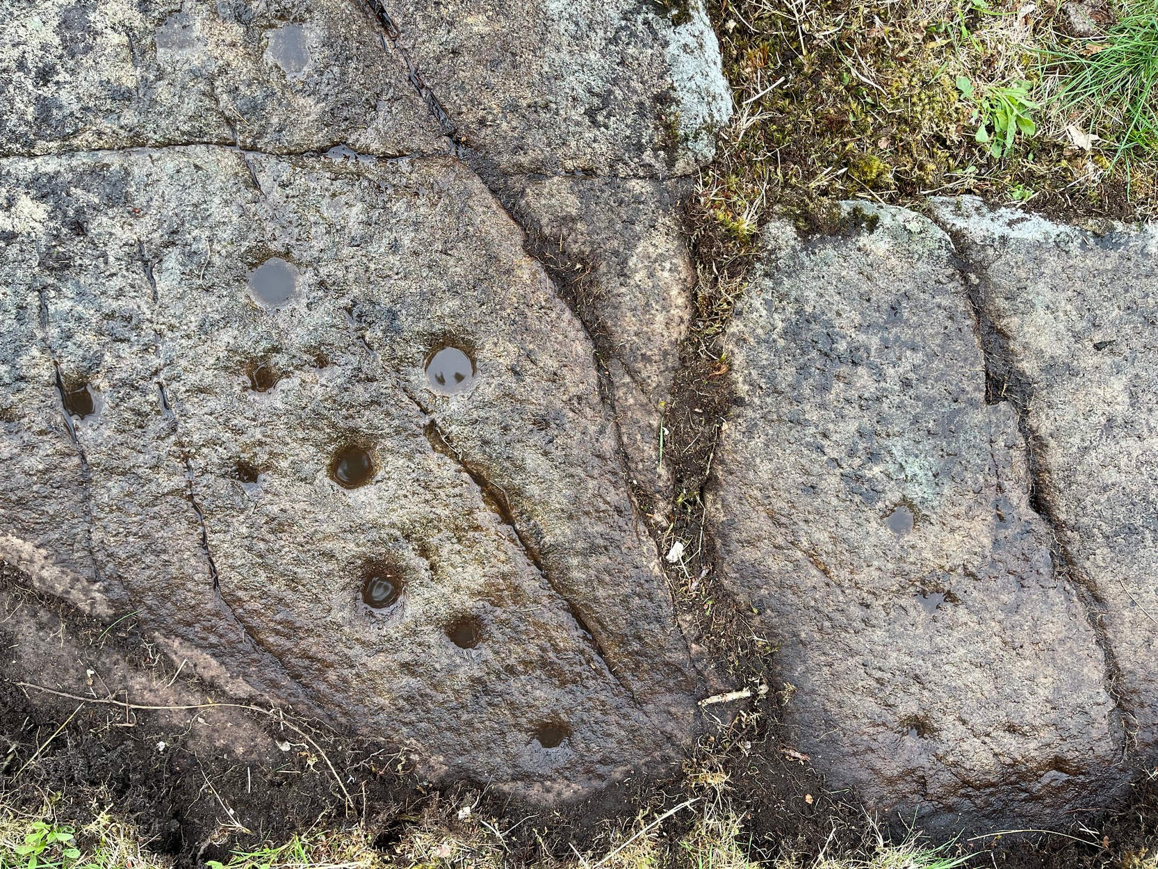
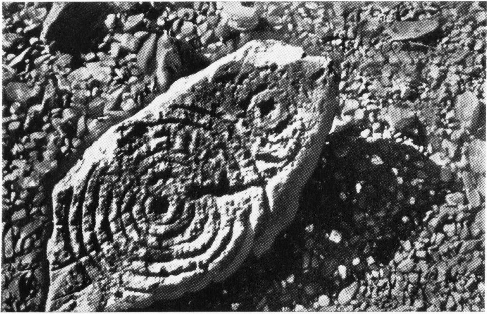
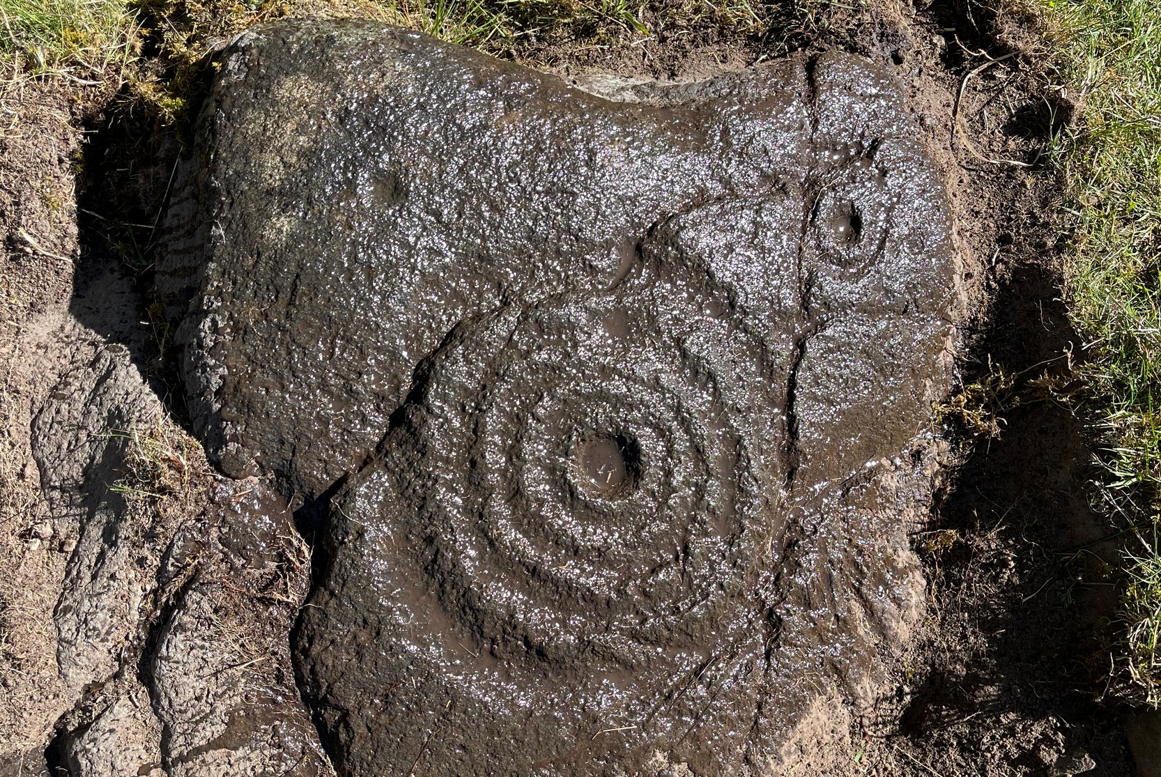
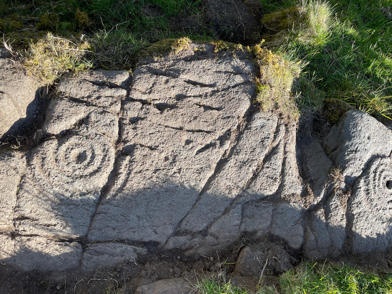
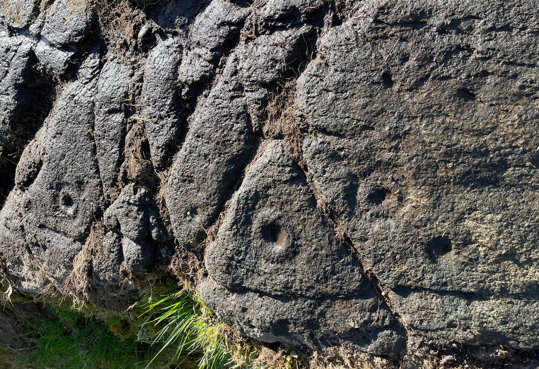
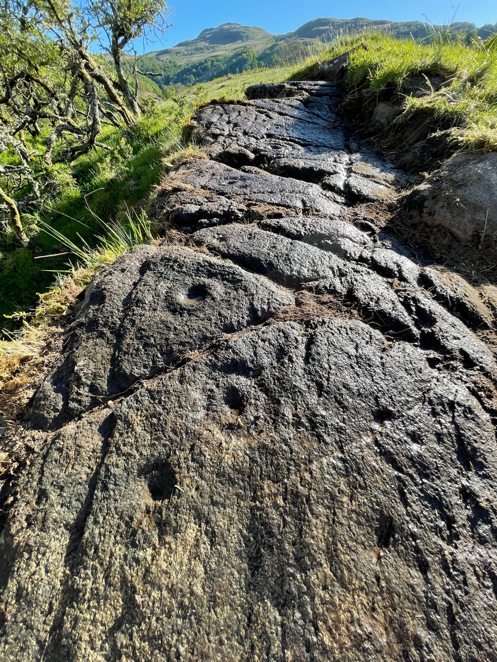
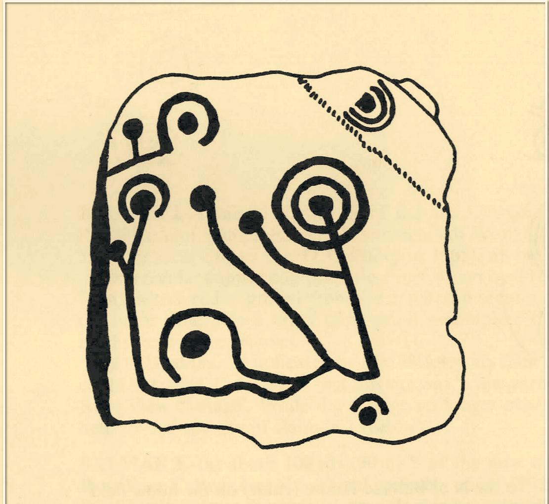
The singular short reference to this impressive design was by George Currie (2011) who told us that it “bears at least 17 cup marks, three of which have single rings.” But there are in fact six of them with rings, possibly seven—with a few additional cup-marks scattered across the wider rock surface. It’s quite impressive, although on our visit here the daylight was gray and so the photos I have of the site do not do it justice. The sun popped out a couple of times, but only for a few minutes and we weren’t able to take advantage of it quickly enough.
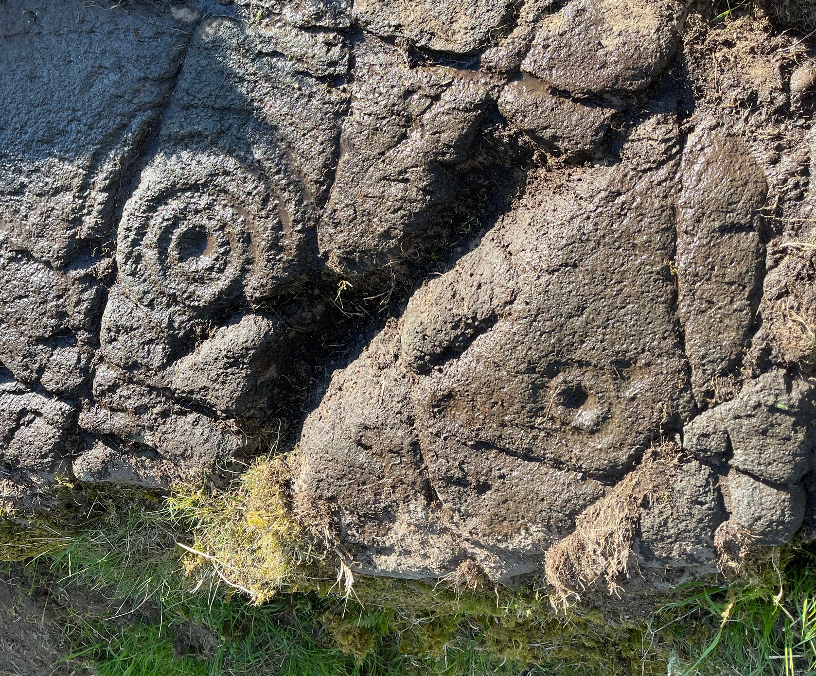
The distinctive section of this petroglyph are the deep cup-marks on its northern side: fourteen of them, three of which have faded shallow rings around them—or rather, uneven oval-shaped surroundings. The cup-marks have obviously been worked and re-worked over the centuries, whereas the rings were given less repetitive attention, for whatever reason. This is a pattern found at a great number of cup-and-ring stones across the country.
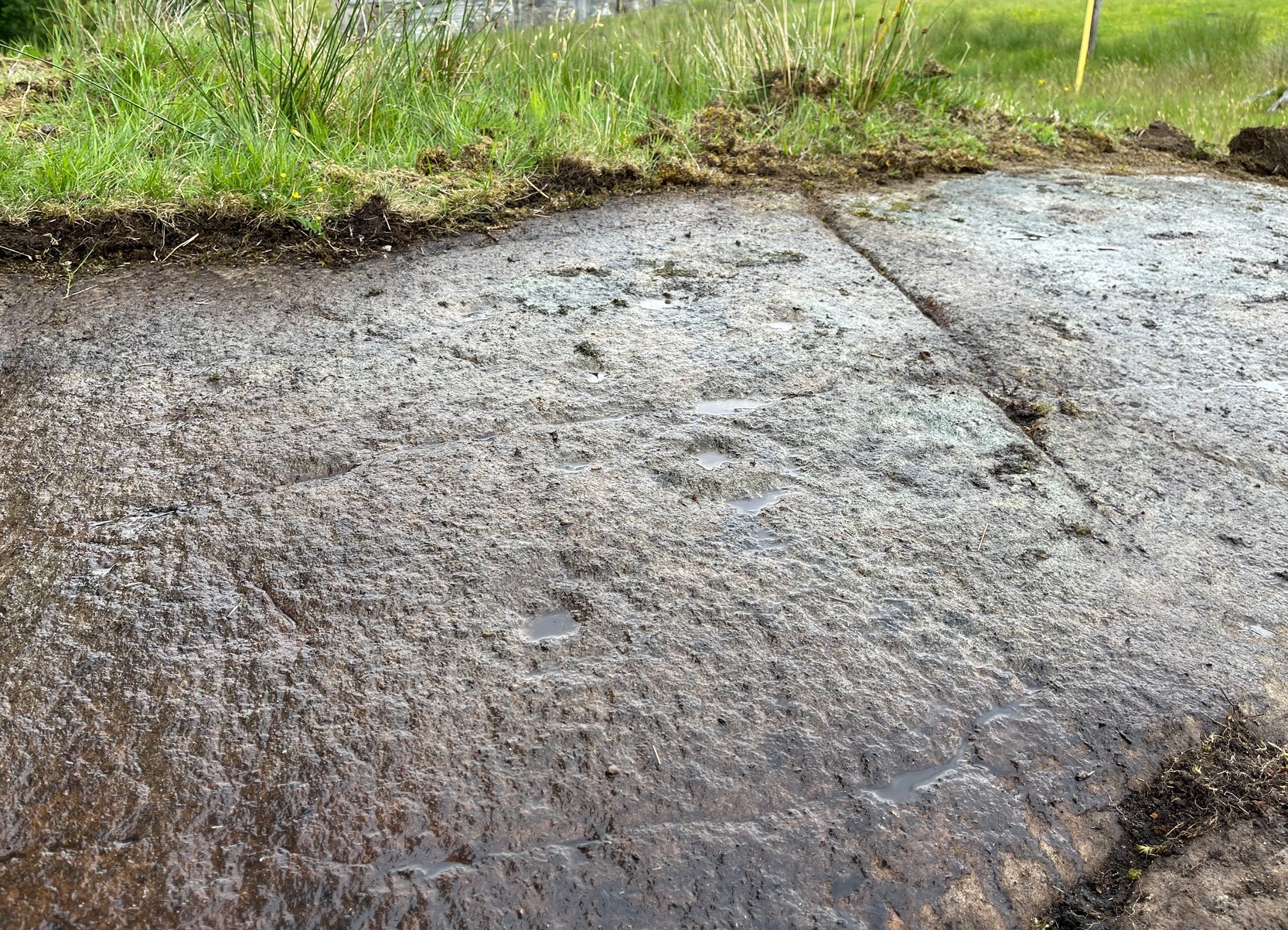
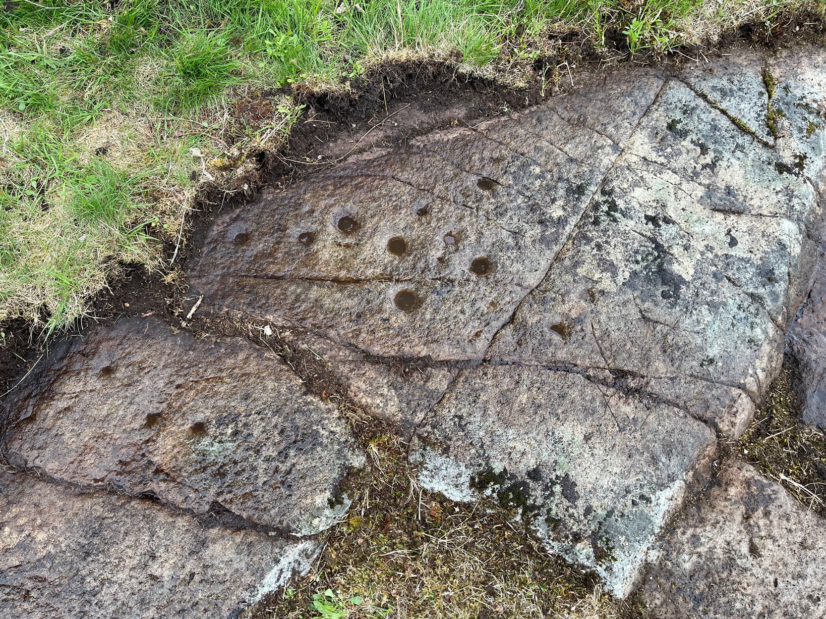
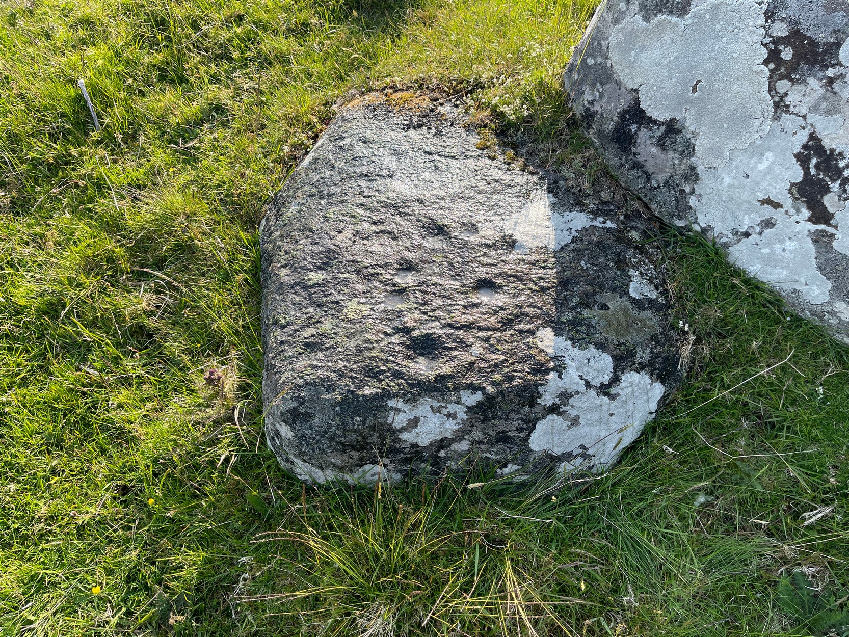
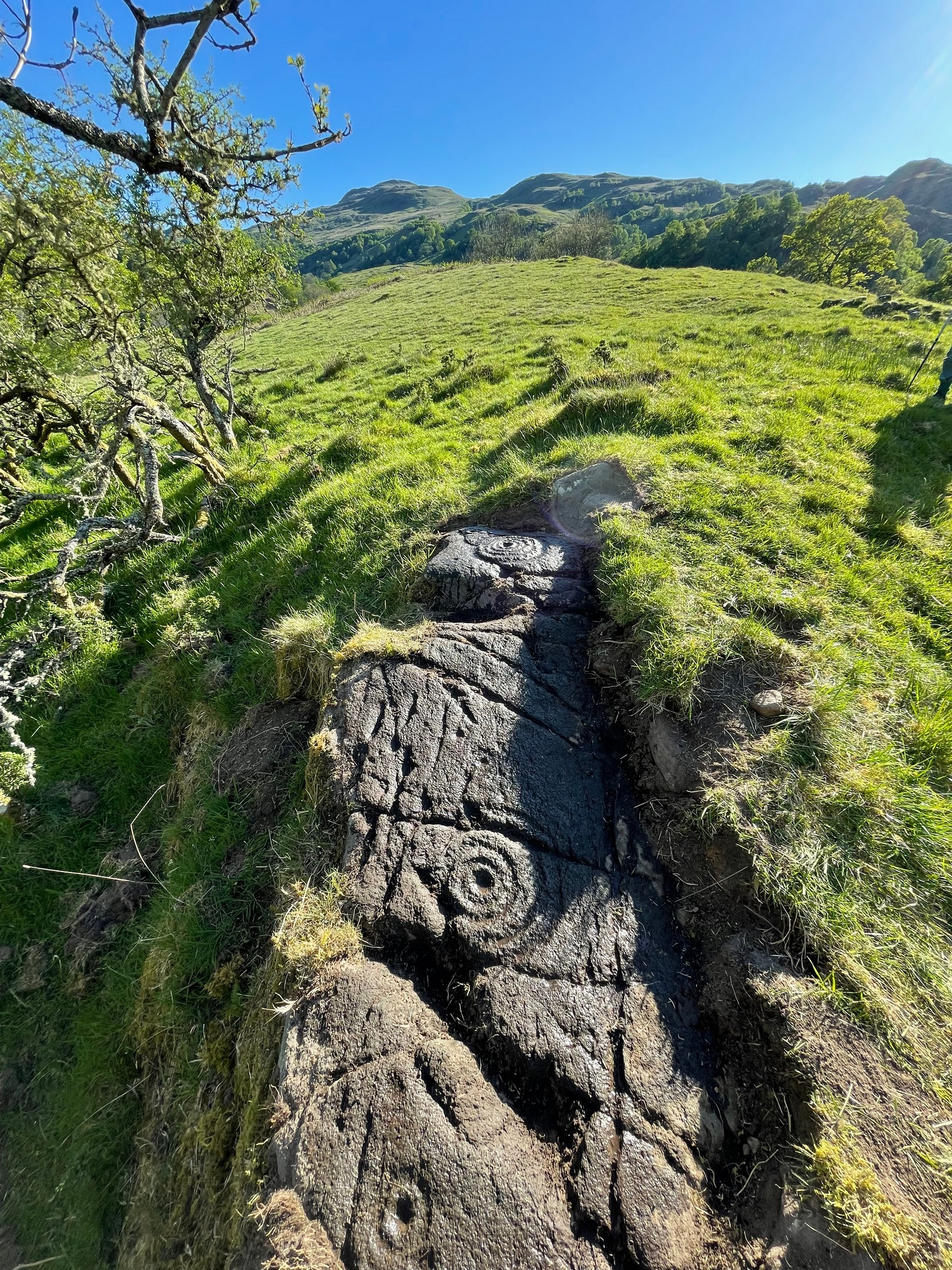
From this cluster of deep cups, walk two or three yards south onto the slightly lower smooth rock surface, where we find a much less pronounced scatter of several shallow cup-marks—may be five, may be six—but three of them have faint rings around them. They were difficult to see on our visit here due to the poor light. There’s what may be another incomplete cup-and-ring another two or three yards further along on the same rock face: a cup, certainly; the faint ring, perhaps. We need to revisit this in better light.
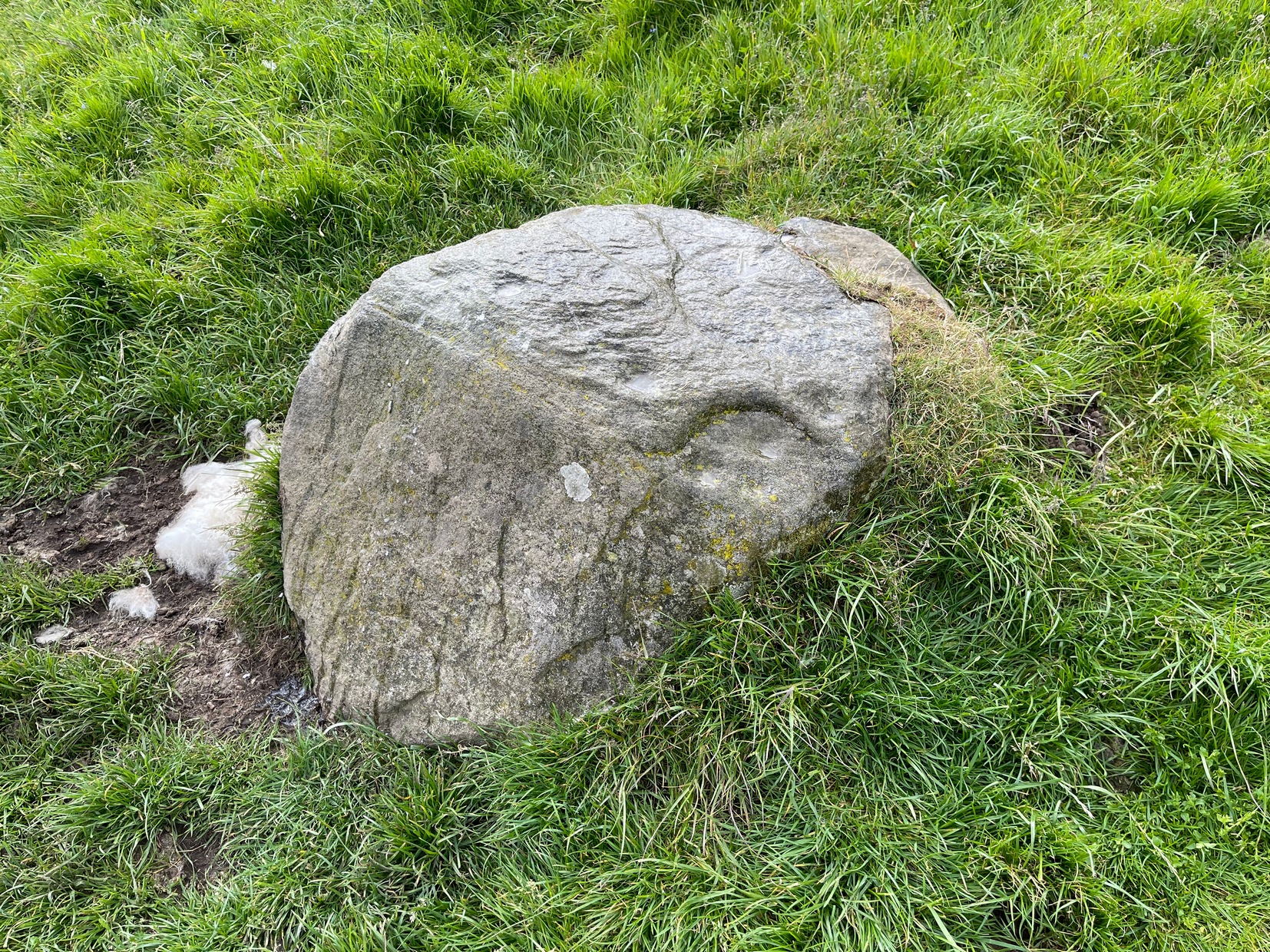
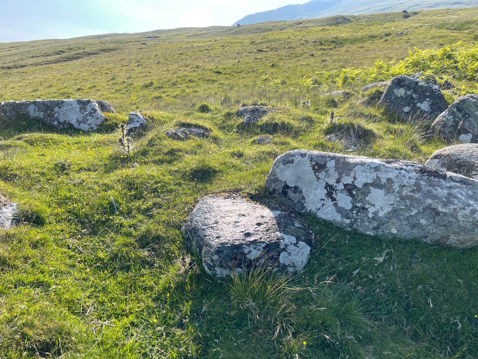
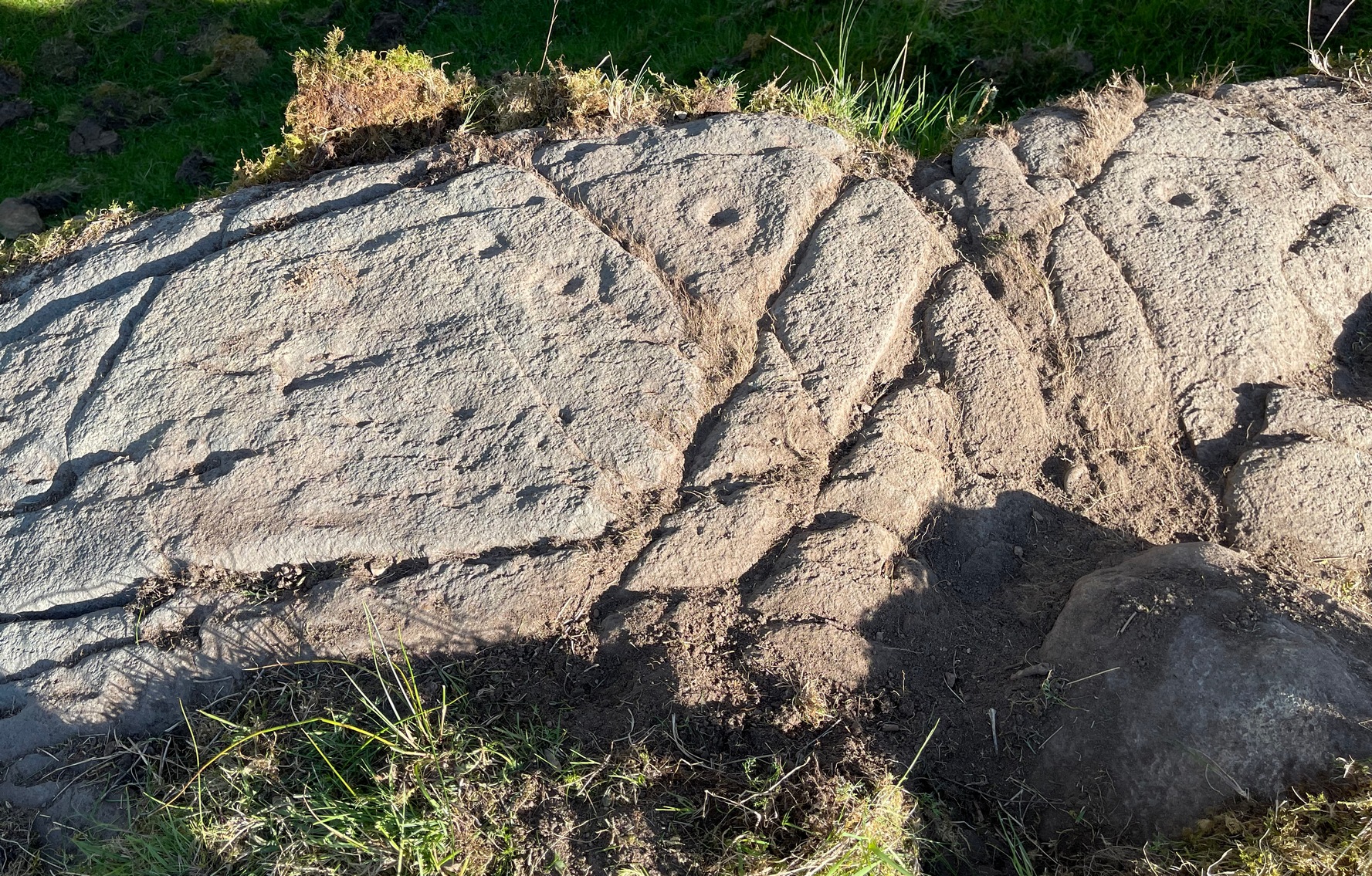
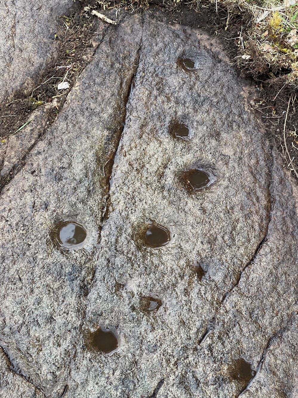 The rock surface continues for quite some distance all round here in the shape of a large dome, much of it covered in vegetation of varying depths. There are openings showing the bare rock and, at several other spots there are several other cup-marks, although none are as deep as the ones we’ve just described. On the edge of one piece, about three yards north of the deep cups, a couple of worn cup-marks are near the edge of one rise; two others are clearly notable a yard or so WNW of the deep cups; whilst there are several other single cups near and not-so-near of the main design. It all requires a lot more work before we see the entire picture.
It’s a gorgeous site: silent with the feel of winds and waters and the scree of buzzards touching the senses: elements that, at some petroglyphs, had mythic relevance…

References:
- Currie, George, “Comrie: Balimeanach (BC 2), Cup-marked Rock”, in Discovery & Excavation Scotland, New series – volume 12, 2011.
Acknowledgements: Huge thanks for use of the Ordnance Survey map in this site profile, reproduced with the kind permission of the National Library of Scotland.
© Paul Bennett, The Northern Antiquarian