Healing Well: OS Grid Reference – NO 17103 46984
Also Known as:
- Mineral Well
Archaeology & History
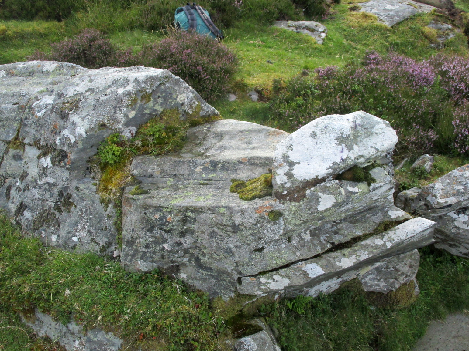
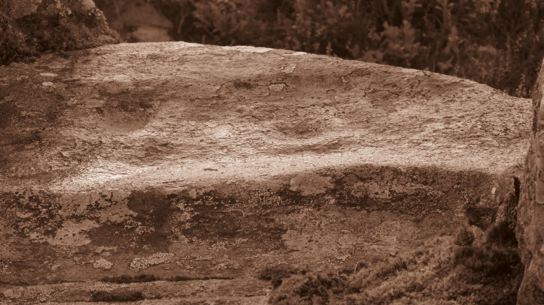
This little-known iron-bearing spring can still be found in the woodland known today as the Heugh of Mawse, a mile north of Blairgowrie. It was included in the Object Name Book of 1863, where they referred to an earlier account in the New Statistical Account, which told that,
“On the south end of it is a chalybeate spring much resorted to by the people of the locality. “There are one or two chalybeate springs in the parish; but they have never been chemically analyzed. There is one very fine spring called the “Heugh Well” It springs from the face of the “Heughs of Mause” (a mortar cliff of singular appearance; which descends abruptly into the bed of the river with an almost perpendicular declivity of about 200 feet) and judging from its colour, contains a considerable quantity of ferruginous matter. The use of its water has been found to be very beneficial in cutaneous eruptions, & affections of the Stomach.””
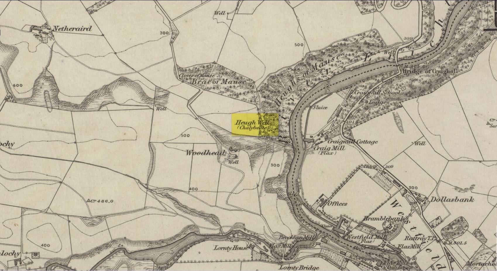
Subsequently highlighted on the 1867 OS-map, a singular footpath led to the site and no further. It was mentioned by the regional historians J.G. McPherson (1885) and John MacDonald (1899), albeit briefly, where they respectively told that its waters were “formerly much resorted to by persons in the neighbourhood.” It possessed considerable medicinal properties which, according to tradition, were “found very beneficial for skin diseases and derangement of the stomach”! Doubtless such attributes will still be effective.
References:
- MacDonald, John A.R., The History of Blairgowrie, Advertiser Office: Blairgowrie 1899.
- McPherson, J.G., Strathmore: Past and Present, S. Cowan: Perth 1885.
© Paul Bennett, The Northern Antiquarian