Moses’ Well, Morton, Thornhill, Dumfriesshire

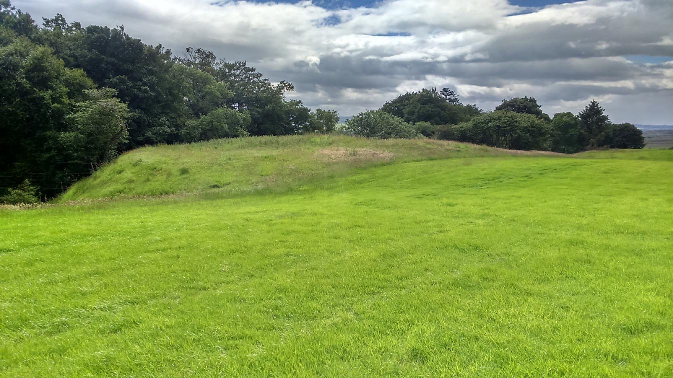
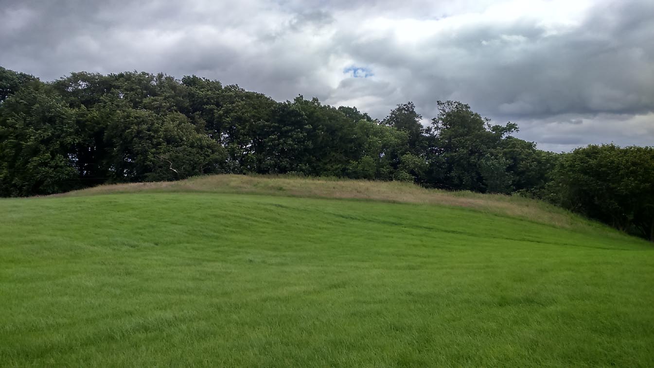
Holy Well:  OS Grid Reference – NX 8799 9431

Archaeology & History

Moses Well on 1861 map

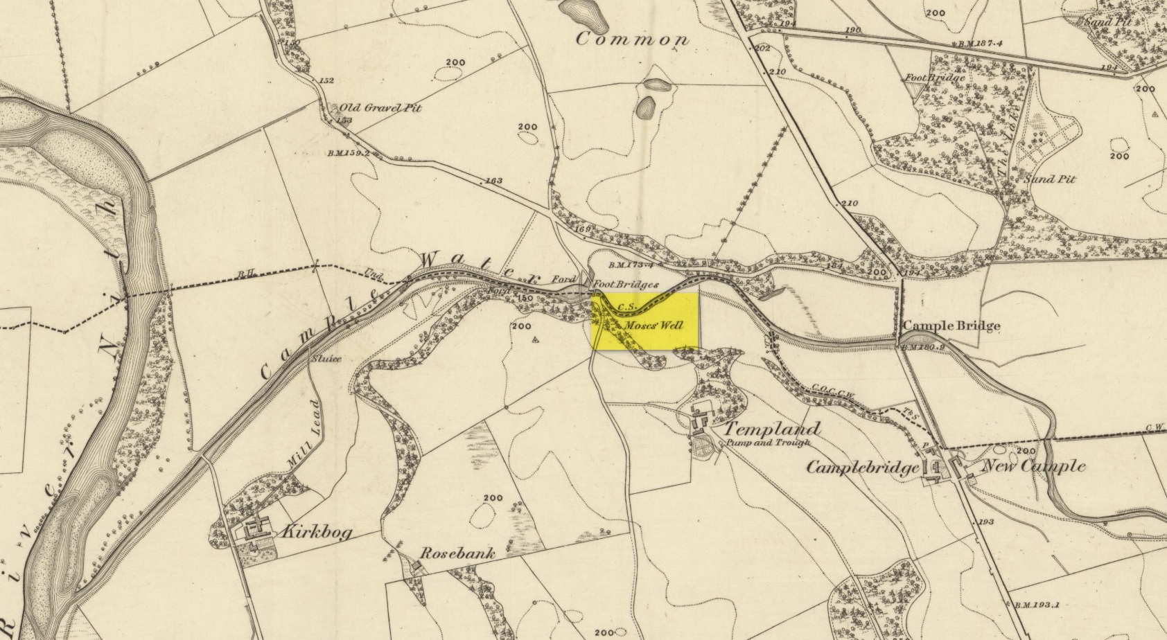
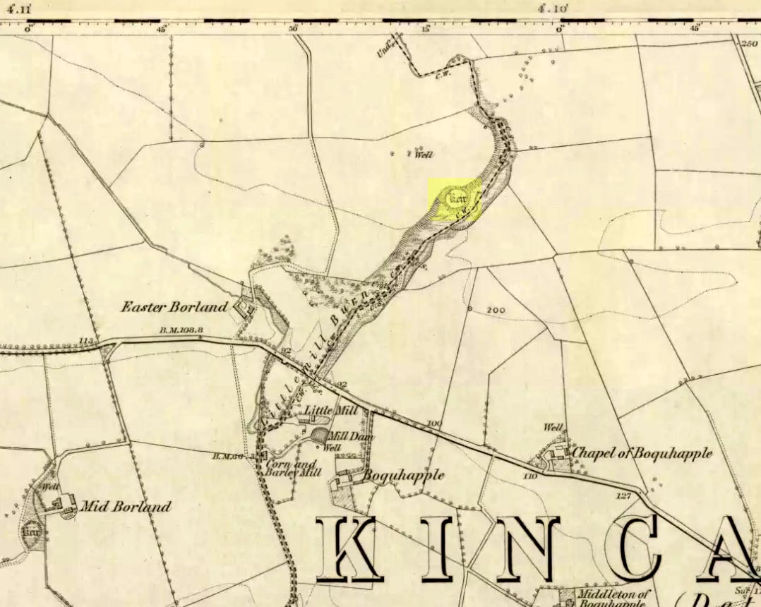
This little-known Biblical-sounding spring has apparently long since fallen back to Earth (perhaps there might be some local folk who could find out for certain).  Shown on the 1861 Ordnance Survey map as being at the side of the wall in the small copse of trees—immediately east of kirk- place-names and a half-mile north of St Ninian’s Well—it was briefly described by T.C. Ramage’s (1876), who seemed to know nothing of its lore, merely telling us that,

“on Templand farm, close to the wooden bridge over the Cample, there is Moses’ Well, an unusual designation, but which some Knight Templar may have given in remembrance of his toils in Palestine.”

The Templar designation was deemed by Ramage to come from the name of the farm.  However, a few years prior to this, the early Scottish place-name surveyors were traversing the area and found from local people how it derived “its name from a Tinker named Moses Marshall who with his family lived near it in a Camp during the time they had the small pox.”  The Well was also included in the Morris survey (1982), but without comment.  Another Moses Well can be found 44½ miles to the northeast, near Galashiels at NT 4046 4306.

References:

  1. Morris, Ruth & Frank, Scottish Healing Wells, Alethea: Sandy 1982.
  2. Ramage, Craufurd T., Drumlanrig Castle and the Douglases, J. Anderson: Dumfries 1876.

© Paul BennettThe Northern Antiquarian

Auchensalt, Thornhill, Stirlingshire

Broch:  OS Grid Reference – NN 6533 0099

Also Known as:

  1. Canmore ID 24398
  2. Easter Borland
  3. Keir

Getting Here

Auchinsalt broch, looking south

Take the A873 from Thornhill to Aberfoyle, and literally 1 mile west of Thornhill turn right up the track up and past Easter Borland farm (as if you’re heading up to Auchensalt).  250 yards past the farm, a large field opens up.  Walk 100 yards east along the side of the wall towards the trees and follow the tree-line upstream 250 yards (don’t go into the lovely little glen) until, on your right, you’ll see a reasonably large area of grassland that rises up, with a steep-ish slope down to the burn below.  This is the remains of the broch.

Archaeology & History

Shown as a ‘Keir’ on the 1866 OS-map, this is an old Scottish dialect word, barely used at all nowadays (folk need to start using it again!) which meant “an ancient fortification” or “rude forts”.  The word is mentioned in early Statistical Accounts in 1795 and in the Second Account of 1845 the “Kiers at Auchinsalt” are mentioned specifically, albeit in passing….

Auchinsalt ‘Keir’ on 1866 map

When we visited the site yesterday, very little could be seen due mainly to the summer vegetation covering the area.  A very small section of open walling was noted on its western side, and beneath the undergrowth a roughly oval structure was in evidence on the rise between the edge of the field and the drop into the small glen below.  Something obviously man-made lies beneath the grasses, but in the last 100 years or so there has been debate as to whether it was a fort, a dun or a broch.  The consensus at the mo, tells Euan Mackie (2007), is that it’s a broch!

Auchinsalt broch, looking east

Measuring some 25 yards across, the walling that makes up the broch was between 4-6 feet wide all round, and about 2 feet high.  There seemed to be aggregates of large scattered stones inside and outside the main oval feature.  If there was an entrance, it seemed to be at the western side, but I wasn’t sure about this. In truth, unless you’re a hardcore broch fanatic, you’d be truly disappointed with the dilapidated state of this monument.  Much better ones can be seen just a few miles away…

References:

  1. Chrystal, William, The Kingdom of Kippen, Munro & Jamieson: Stirling 1903.
  2. Grant, William (ed.), The Scottish National Dictionary – volume 5, SNDA: Edinburgh 1960.
  3. MacKie, Euan W., The Roundhouses, Brochs and Wheelhouses of Atlantic Scotland c.700 BC-AD 500, BAR: Oxford 2007.
  4. McCulloch, Stuart J., Thornhill and its Environs, Munro Trust: Perth 1995.

Acknowledgements:  Huge thanks to Paul Hornby for getting us here. Cheers matey!

© Paul Bennett, The Northern Antiquarian