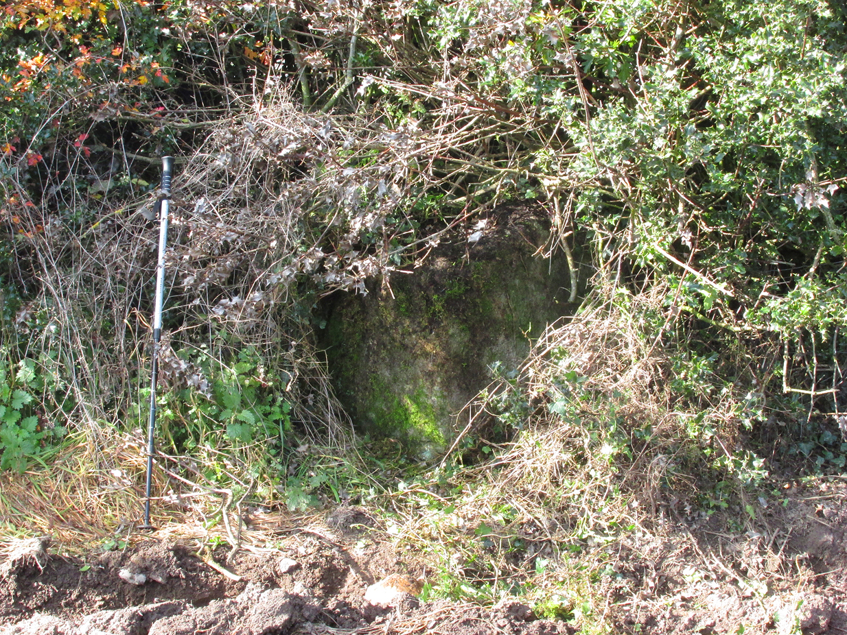
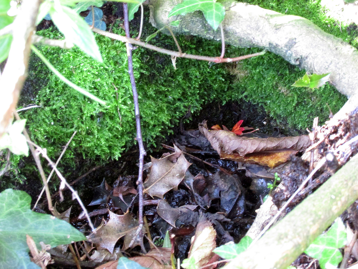
Bishop’s Well, Tottenham, Middlesex

Holy Well (destroyed):  OS Grid Reference – TQ 332 911

Also Known as:

  1. My Lady’s Hole

Archaeology & History

Long since gone after drainage operations on Tottenham Cemetery made the waters dry-up, this was one of several holy wells in the Tottenham area.  Its history has been described in various old tomes, but the most definitive is found in William Robinson’s (1840) classic on the parish of Tottenham, when the well was still visible.  He told us:

“There is a spring which issues from the side of a small hillock on the south side of the Moselle, nearly opposite the Vicarage, leading thence to the Church, called Bishop’s Well.  This spring was formerly considered famous for many strange and wonderful cures performed on the diseased by the use of this water.  It has been for some years neglected, but of late the owner of the field in which this well is, had it cleansed, and planted some trees round it, and put up posts and rails to prevent the cattle treading down the sides of it.  It is said that the water of this well never freezes.  In former times this well was in great repute from the purity of its water.  The ladies in the vicinity of it were accustomed to send their servants in the morning and evening for water for their tea, from which circumstance it was for many years known by the name of “My Lady’s Hole.”  The water of this well is not only esteemed for its medicinal qualities, but particularly for curing disorders of the eye.

“There were formerly many other springs about the village, especially one which issued out of the hill on which the Church stands; and another in Spottons Wood otherwise Spottons Grove, on the north side of Lordship Lane, which in the fifteenth century was of considerable notoriety; but none of which have in former times been so much frequented and held in such repute as Bishop’s Well.”

(Please note: the grid-reference for this site is an approximation)

References:

  1. Foord, Alfred Stanley, Springs, Streams and Spas of London: History and Association, T. Fisher Unwin: London 1910.
  2. Hope, Robert Charles, Legendary Lore of the Holy Wells of England, Elliott Stock: London 1893.
  3. Robinson, William, The History and Antiquities of the Parish of Tottenham, Nichols & Sons: London 1840.
  4. Sunderland, Septimus, Old London Spas, Baths and Wells, John Bale: London 1915.
  5. Thornbury, Walter & Walford, Edward, Old and New London – volume 5, Cassell: London 1878.

© Paul BennettThe Northern Antiquarian


Scotland Well, Scotlandwell, Kinross

Healing Well:  OS Grid Reference – NO 18474 01656

Also Known as:

  1. Scotlandwell
Scotland well on 1856 map

Getting Here

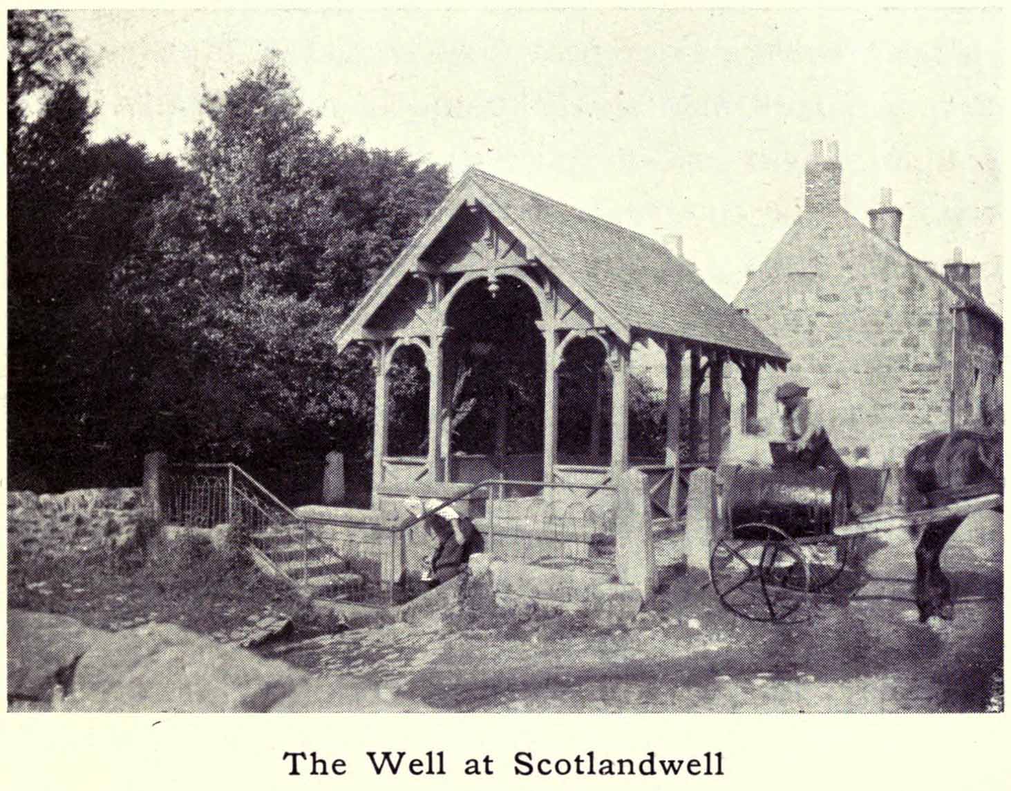
Whichever way you come into the hamlet—be it along the A911 from either Milnathort or Glenrothes, or up the B920 from Ballingry side—the only little carpark to use is about 20 yards from the main road junction, on the west-side of the road, appropriately named Well Road.  The site is unmissable beneath the small well-house at the end of this short cul-de-sac.

Archaeology & History

When a village is named after a well, you know that its waters held some considerable importance!  Mentioned as early as 1218 as “de fonte Scotie” and subsequently many variations thereof in centuries thereafter, the place-names authority Simon Taylor (2017) thinks it may have been mentioned as early as 1090 CE.

Scotland Well in 1915
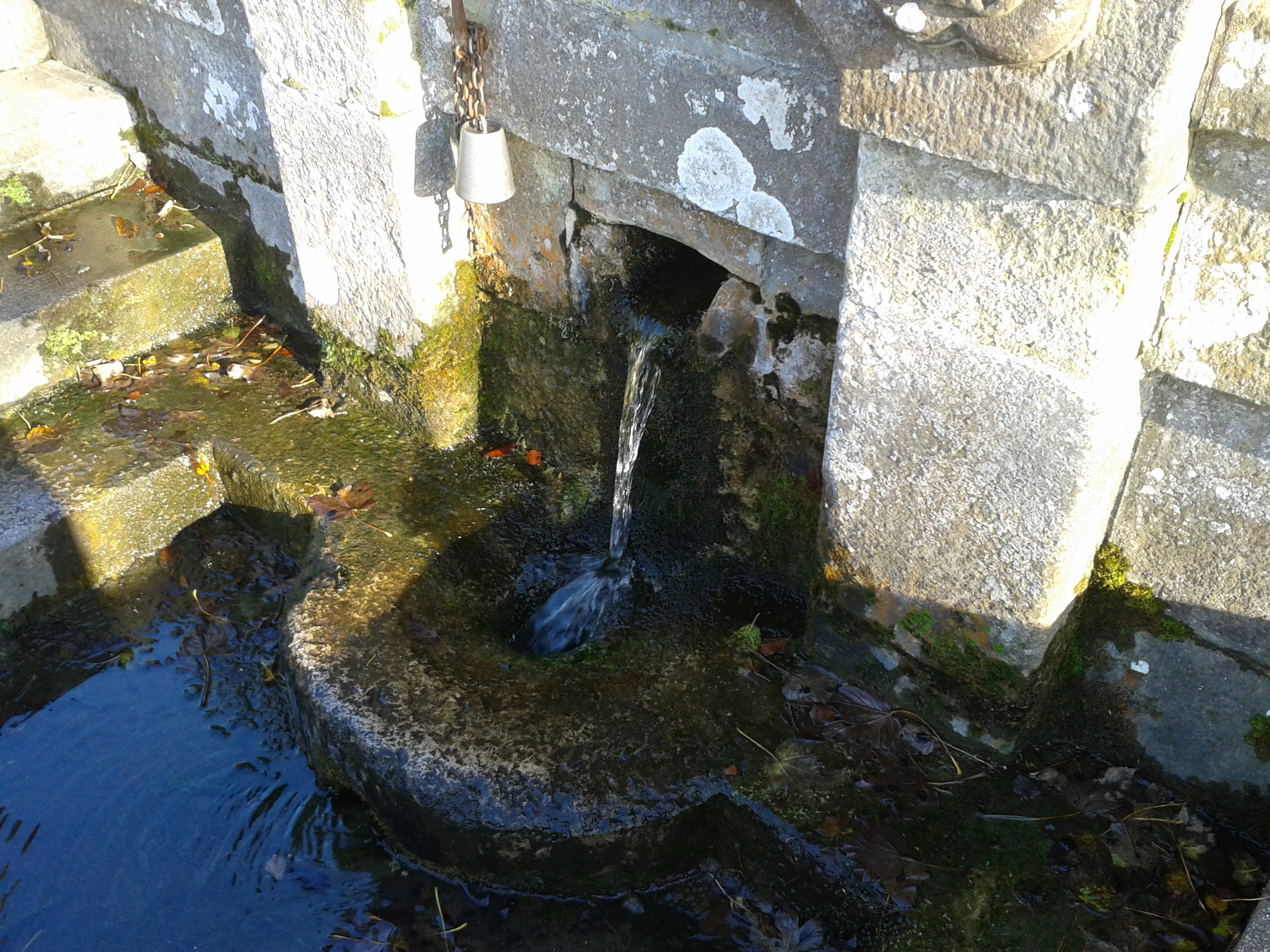
The clear cold waters

Although there has never been a direction dedication of the Scotland Well to any saint, as J.M. MacKinlay (1904) and others have pointed out, in the village itself was an ancient medieval hospital that belonged to “the Trinity or Red Friars” that was built for the benefit of the poor by the Bishop of St. Andrews, some 22 miles to the east.  The hospital was at first dedicated to St. Thomas and subsequently to the Virgin, or St Mary.  Holy wells dedicated to both saints are renowned the world over as having great medicinal properties, but no extant written document relates either saint to the well.

Folklore

The main reason for this site maintaining such an honourable place in Scottish history is its association with the two great Scottish heroes, Sir William Wallace and King Robert the Bruce.  In the pseudonymous Historica’s (1934) literary rambles, he told that, after coming down out of the Lomond Hills,

“We descend the narrow defile—the Howgate—into Scotlandwell—Fons Scotia—famous for its medicinal springs, where tradition says King Robert the Bruce came to take the waters for scrofula and leprosy in 1295.  The great Sir William Wallace—according to ‘Blind Harry’—also has associations here.  His famous swim to the Castle Island, for a boat to take over some of his men to capture the english on St. Serf’s, took place from below Scotlandwell.”

In Ruth & Franks Morris’ (1982) fine survey of Scottish wells, they told that upon their visit to the Scotland Well, three people they met still thought highly of its curative properties.  “Of these three people,” they said,

“one was a sufferer from cancer which was the cause of a painful skin rash.  He had been persuaded to try the water and found that it did him so much good that he was driven from Edinburgh to the well, a round trip of some 80 miles, at at regular intervals to drink the water and take back with him two demi-johns of it.”

According to the man concerned, it did him the world of good and cleared the stubborn body rash he’d been suffering!

References:

  1. Day, J.P., Clackmannan and Kinross, Cambridge University Press 1915.
  2. Historicus, Historic Scenes within our Limits, Kinross-shire Advertiser: Kinross 1934.
  3. MacKinlay, James M., Influence of the Pre-Reformation Church on Scottish Place-Names, William Blackwood: Edinburgh 1904.
  4. Morris, Frank & Ruth, Scottish Healing Wells, Alethea: Sandy 1982.
  5. Taylor, Simon, The Place-Names of Kinross-shire, Shaun Tyas: Donington 2017.

Acknowledgements:  Big thanks for being able to use the 1st edition OS-map for this site profile, Reproduced with the kind permission of the National Library of Scotland

© Paul BennettThe Northern Antiquarian


Ellen’s Well, Angle, Pembrokeshire

Holy Well (lost):  OS Grid Reference – SM 86913 03483

Archaeology & History

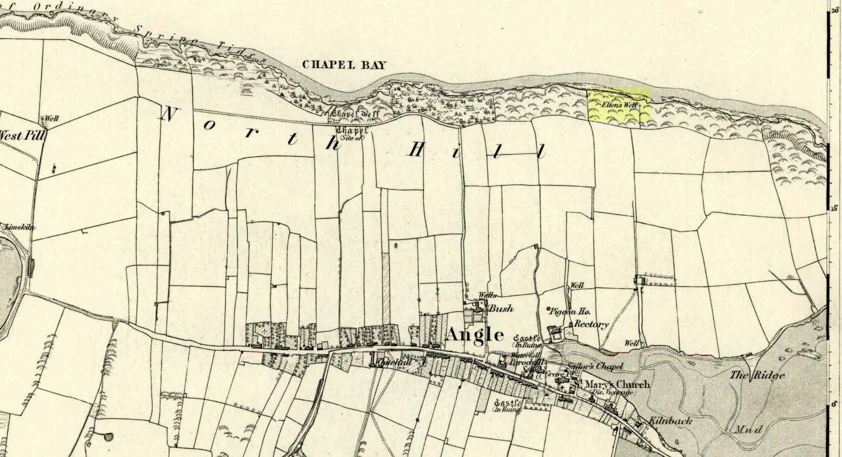
Ellen’s Well on 1869 map

Very little seems to be known about this apparently lost site, deemed to be an authentic holy well in Francis Jones’ (1954) fine survey: the ‘Ellen’ in question here being the legendary St Helen.  It was highlighted on the first OS-map of the area in 1869 and subsequently included in the Royal Commission’s huge Pembrokeshire (1925) tome, but when they came to visit the site they reported that “it could not be traced, nor any information obtained about it.”  Has it truly fallen back to Earth, or do any local historians and antiquarians know where it is…?

References:

  1. Jones, Francis, The Holy Wells of Wales, University of Wales 1954.
  2. Royal Commission Ancient & Historical Monuments, Wales, An Inventory of the Ancient Monuments in Wales & Monmouthshire: VII – County of Pembroke, HMSO: London 1925.

© Paul BennettThe Northern Antiquarian


St. Patrick’s Well, Ballinvalley Upper, County Wicklow

Holy Well (destroyed):  OS Grid Reference – T 2481 8173 

Archaeology & History

Highlighted on the 1838 OS-map, Grogan and Kilfeather (1997) report that there are  “no visible remains” to be seen of this holy well.  The cult of St Patrick is still celebrated in Ireland every year on 17 March.

References:

  1. Grogan, Eion & Kilfeather, Annaba, Archaeological Inventory of County Wicklow, Stationery Office: Dublin 1997.
  2. Lynch, Geraldine, “The Holy Wells of County Wicklow,” in Wicklow History and Society (edited by K. Hannigan & W. Noland), Dublin 1994.

© Paul BennettThe Northern Antiquarian 

Lady Well, Aldborough, North Yorkshire

Holy Well:  OS Grid Reference – SE 400 662

Archaeology & History

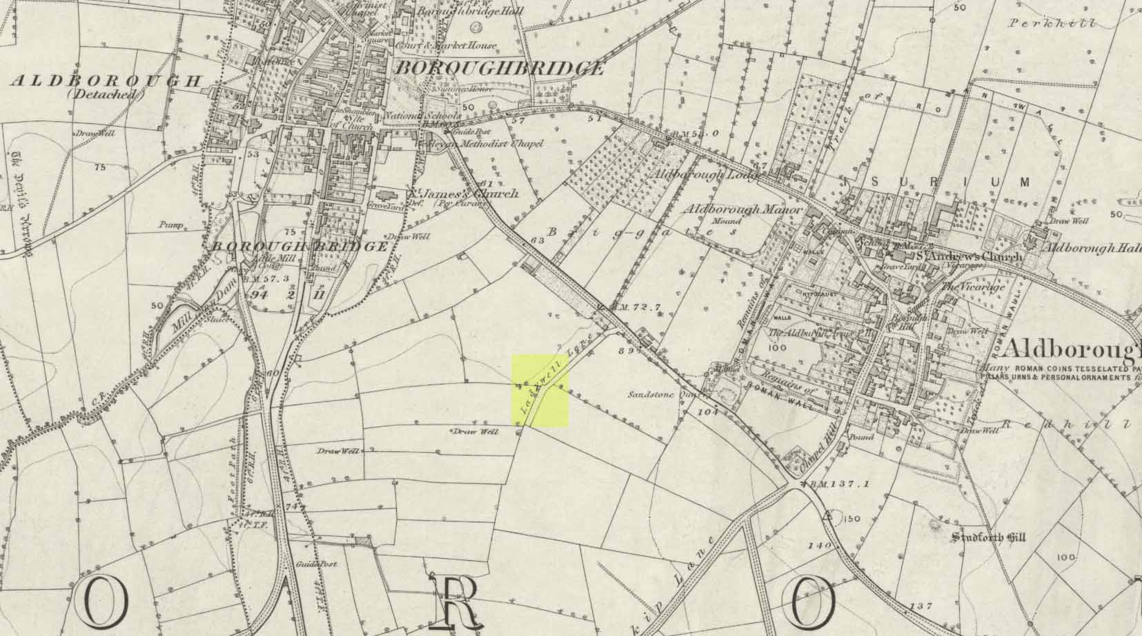
Ladywell Lane is shown on the 1855 OS-map (right).

At present we have no information or images about this site. Be the first person to contribute material by emailing us with info or images to the usual address – megalithix@yandex.com


Robin Hood’s Well, Allerston High Moor, North Yorkshire

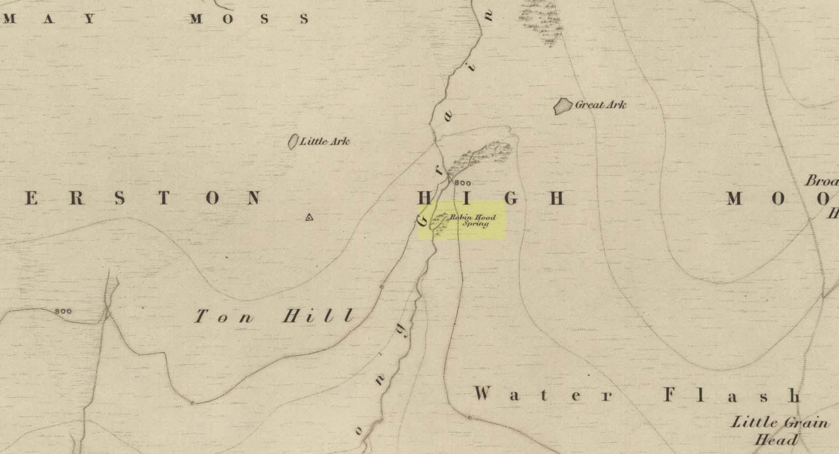
Site shown on 1854 map

Sacred Well:  OS Grid Reference – SE 8831 9559

Also Known as: 

  1. Robin Hood’s Spring

Archaeology & History

At present we have no information or images about this site. Be the first person to contribute material by emailing us with info, field notes or photos to the usual address – megalithix@yandex.com


Whin Well, Stirling, Stirlingshire

Healing Well (lost):  OS Grid Reference – NS 7934 9412

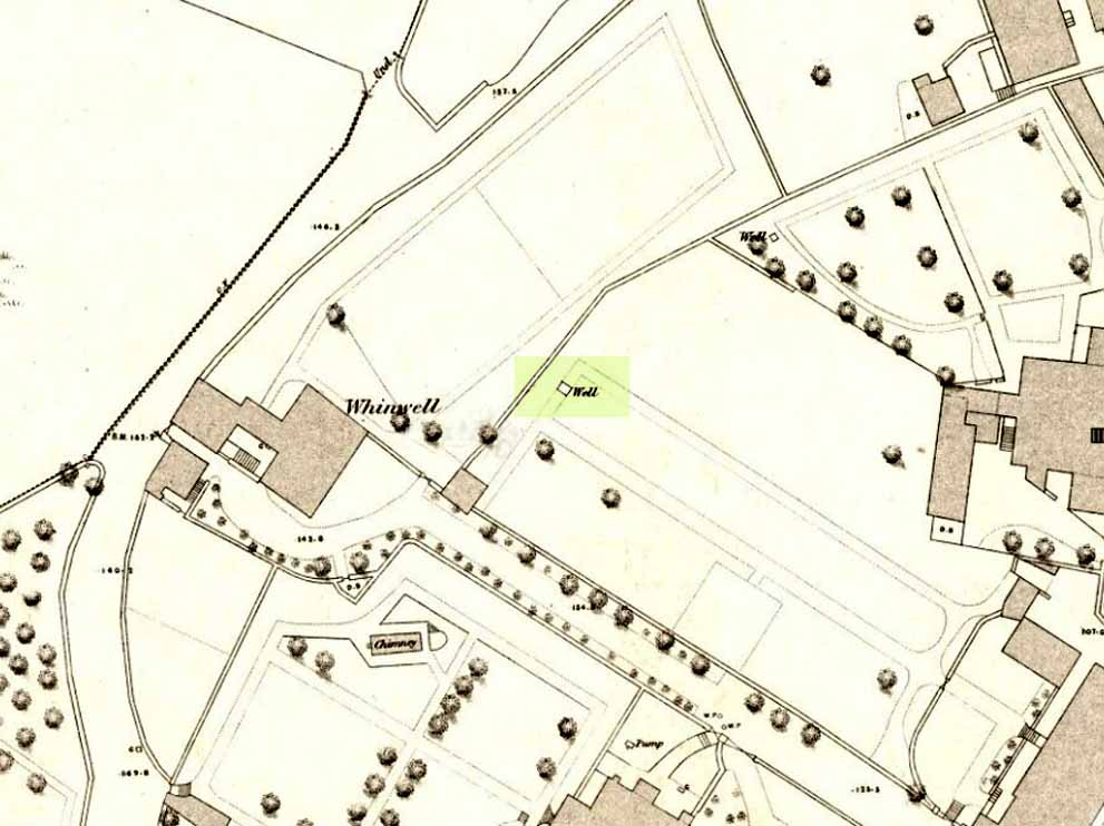
Whin Well on 1858 map

Archaeology & History

Shown on the 1858 map of the city, this ‘Well of the Gorse’ (from the old folk-name ‘whin’, or Ulex Europareus) on the northern side of the old town, about 300 yards east of Stirling Castle, has long since gone.  An old cottage of the same name was once to be found at the end of the appropriately named Whinwell Road, which also preserves its memory.  Although the folklore of the site has seemingly been forgotten, it may be that the waters here had medicinal qualities akin to those given by the plant – i.e., jaundice, intestinal problems and to strengthen the heart. (see Mrs Grieve’s Modern Herbal)

© Paul BennettThe Northern Antiquarian


Hill Chapel Cross, Goosnargh, Lancashire

Wayside Cross : OS Grid Reference – SD 57273 38505

Also Known as:

  1. Historic England Monument No. 42648

Getting Here

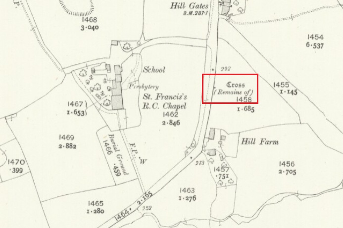
Cross shown on 1912 OS-map

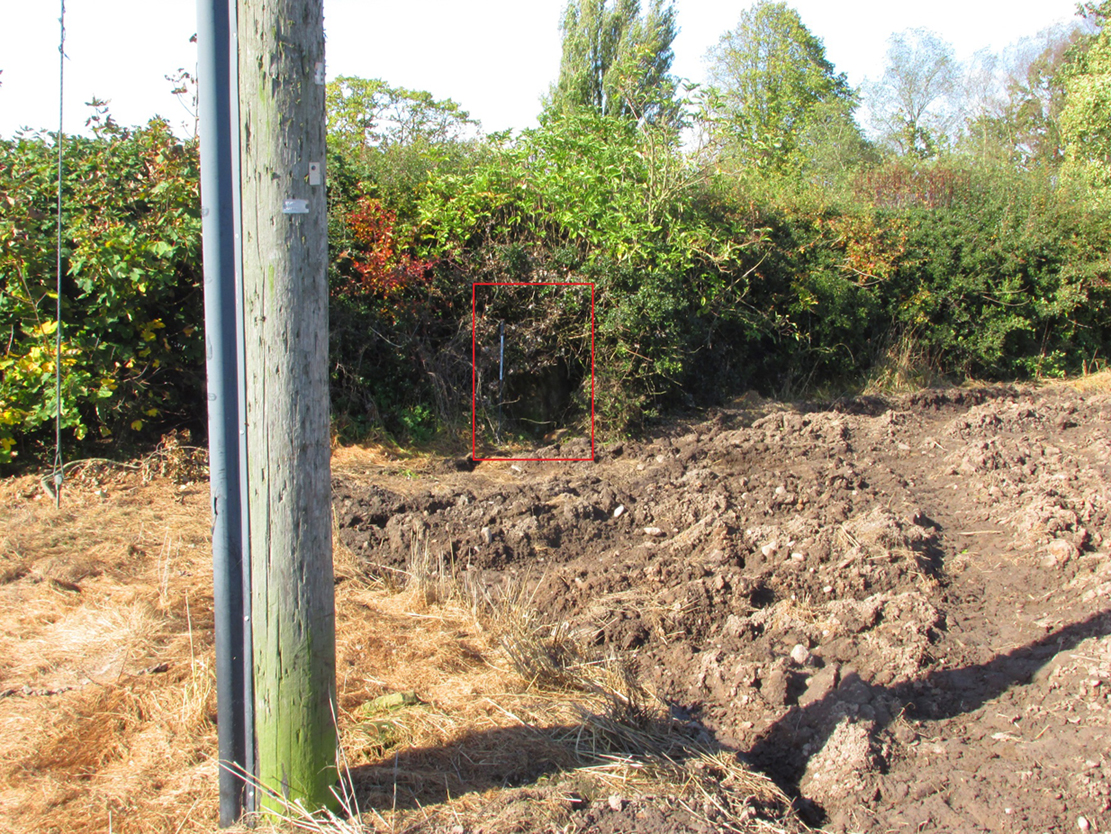
The Cross base is situated in a thick hedgerow on the east side of Horns Lane, opposite St Francis’ Hill Chapel, just to the north of and on the field side of the electricity transmission line that crosses the road at this point. It can be accessed from the field to the north by crossing the stream. In winter the Cross base is just visible from the road side through the hedge.

Archaeology & History

This cross is not described or noted by Henry Taylor in the 1906 edition of his Ancient Crosses and Holy Wells of Lancashire. All that survives is the substantial socketed base of what is likely to have been a mediaeval cross. It is almost completely hidden in the hedge, and is only accessible for ‘hands-on’ inspection from the field side of the road.

It was described by Historic England as:

‘The socket-stone of a probable wayside cross 1.0m square and 1.5m high…. Its present position in a pasture field suggests that it is not in situ.’

Cross position highlighted
Hidden in the boscage

Despite this description, the substantial nature of the base leads me to query why anyone would wish to move it from elsewhere. It is more likely that past land-owners have encroached on to the ancient highway, and fenced it accordingly. Maybe the Hill Chapel congregation will at some consider exposing the base on its hill crest position and insert a replica cross?

There is no record of what happened to the original Cross.  According to a pamphlet describing Hill Chapel, “this house appears to have always been in Catholic hands”, but no mention is made of the Cross.  A likely culprit for its destruction is the early nineteenth century Protestant fundamentalist the Reverend Richard Wilkinson.

The leaf-filled cross-base

In view of the continuity of Catholic ownership and worship at the Hill Chapel site over the road since before the Reformation, and the sustained persecution suffered by local Catholics in the centuries following the Reformation, it is very unlikely that they would have drawn attention to themselves by erecting the Cross, making it almost certainly of pre-Reformation construction.

Reference:

  1. Anonymous, Hill Chapel Goosnargh, privately published pamphlet available from Hill Chapel, n.d..

© Paul T Hornby, The Northern Antiquarian, 2018


Broad Oak, Hatfield Broad Oak, Essex

Legendary Tree:  OS Grid Reference – TL 5352 2083

Also Known as:

  1. Doodle Oak

Archaeology & History

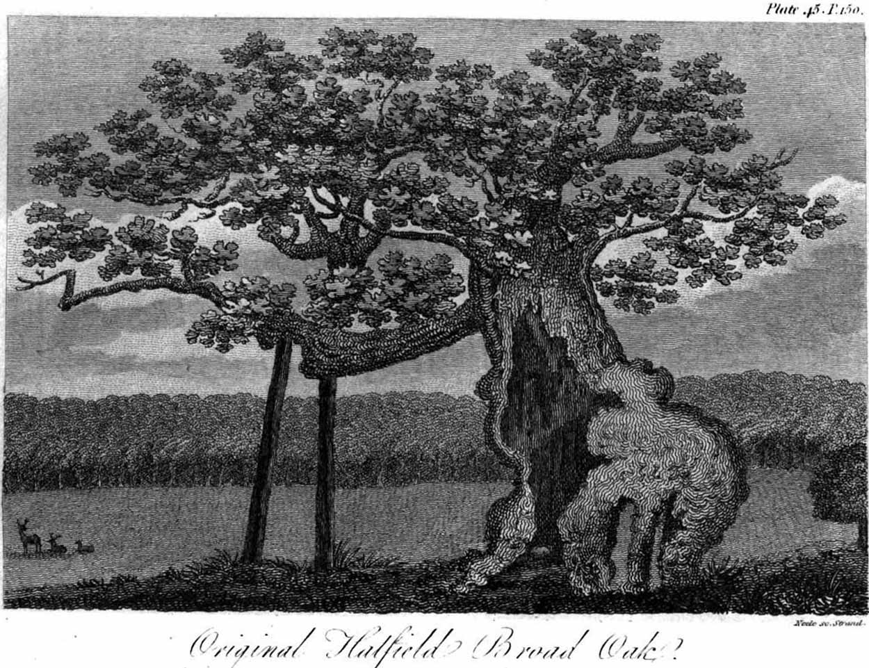
Hatfield’s Doodle Oak, 1807

Erroneously ascribed by the reverend Winsland (1952) as being the ‘Doodle Oak’, the ancient and giant tree called the Broad Oak was, as records show, always known by this name, but was subsequently replaced by another after its demise.  It was this second tree that became known as the Doodle Oak.  Winsland described it as “an immense and famous oak tree”, under whose “spreading branches in olden days the Lord of the Manor probably held his court and dispensed justice.”

The tree was described as early as 1136 AD and was probably an early tribal meeting site, or moot spot.  In Philip Morant’s (1763) work, he described it as,

“A tree of extraordinary bigness. There has been another since…called Doodle Oak.”

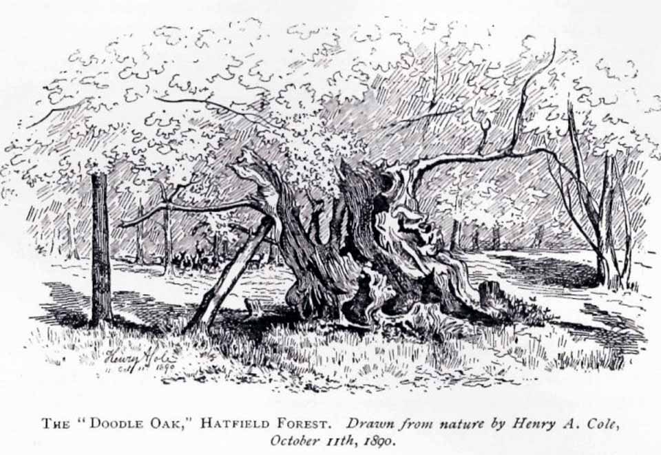
The old Oak in 1890

The Doodle Oak was thought to date from around 10-11th century and its predecessor may have been upwards of a thousand years old before this one took its place.  In 1949, one patient botanist, Maynard Greville, investigated the Doodle Oak tree-rings and found it to be 850 years old.  Other estimates suggest it was a hundred years older than that!  Whichever was the correct one, a measurement of its trunk found it to be some 19 yards in circumference – one of the largest trees ever recorded in Britain!

Sketches of its dying body were thankfully made near the beginning and the end of the 19th century: one in Mr Vancouver’s (1807) Agriculture of Essex, and the other by Henry Cole of the Essex Naturalist journal.

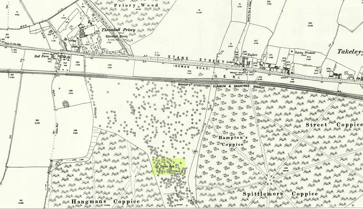
Doodle Oak on 1896 map

Some speculate that the Broad Oak of ancient times and the subsequent Doodle Oak were at very different places in the parish, but without hard evidence this idea is  purely hypothetical.  And whilst the name ‘broad’ oak is easily explained, the name ‘doodle’ is slightly more troublesome.  However, a seemingly likely etymology is found in the Essex dialect word dool, which Edward Gepp (1920) told,

“seems to mean, (1) a landmark; (2) a path between plots in a common field.”

The former of the two would seem to be the most likely.  This is echoed to a greater degree in Wright’s (1900) magnum opus, where he found the dialect word dool all over the southeast, meaning,

“a boundary mark in an unenclosed field.”

Giant trees on ancient boundaries, like the Broad Oak of earlier times, would seem to be the most probable reason for its name.  Today, all that’s left of the site is a small plaque on a small tree-stump, telling us what once stood here…

References:

  1. Gepp, Edward, Contributions to an Essex Dialect Dictionary, George Routledge: London 1920.
  2. Morant, Philip, The History and Antiquities of the County of Essex – volume 2, 1763.
  3. Reaney, P.H., The Place-Names of Essex, Cambridge University Press 1935.
  4. Vancouver, Charles, General View of the Agriculture of the County of Essex – volume 2, Richard Phillips: Blackfriars 1807.
  5. Winsland, Charles, The Church of Saint Mary the Virgin, Hatfield Broad Oak, Anchor: Bishop Stortford 1952.
  6. Wright, Thomas, English Dialect Dictionary – volume 2, Henry Frowde: London 1900.

© Paul BennettThe Northern Antiquarian


Fuke Well, Pudsey, West Yorkshire

Healing Well (destroyed):  OS Grid Reference – SE 22 33

Archaeology & History

Ths curiously-named site is described just once in very early field-name records as the ‘Fukewell’.  Included in A.H. Smith’s (1961) magnum opus, he passes over the place-name without comment.  But in finding his 12th century literary source, we read that it was located on some land given to the monks of Kirkstall Abbey, Leeds.  Written in early disjointed Latin, we find that the Fukewell was mentioned on a grant that described five acres of land given by one Adam Samson to the monks of the Abbey.  On one of the acres was a site known as the Cold Well, whilst the Fuke Well was found on a piece of land adjacent to a house, but its precise location seems to have been lost.  Nothing is mentioned about it by great Pudsey historan Simeon Raynor, despite him naming a number of other wells in the area – so we must presume that the site had already gone when he came to write his work.

But what does the word fuke actually mean?  There is nothing to explain it in Wright’s Dialect Dictionary, nor other regional dialect or place-name works.  I was wondering if it derived from the old english word ‘fuck’, which was common parlance in earlier centuries.  ‘Fucking’ was a word that didn’t have the debased christian ideology attached to it: of something not to be talked about, or be hidden.  To have a fuck, or go fucking, was always quite normal; and to most people in the real world we use the same term with absolute ease – because we all do it!  But this etymological idea is pure speculation on my part.  Can anyone give clear light to fuke’s real meaning?

References:

  1. Fryer, Peter, Mrs Grundy, Dennis Dobson: London 1963.
  2. Lancaster, W.T. & Baildon, W. Paley (eds.), The Coucher Book of the Cistercian Abbey of Kirkstall, Thoresby Society: Leeds 1904.
  3. Smith, A.H., The Place-Names of the West Riding of Yorkshire – volume 3, Cambridge University Press 1961.

© Paul BennettThe Northern Antiquarian