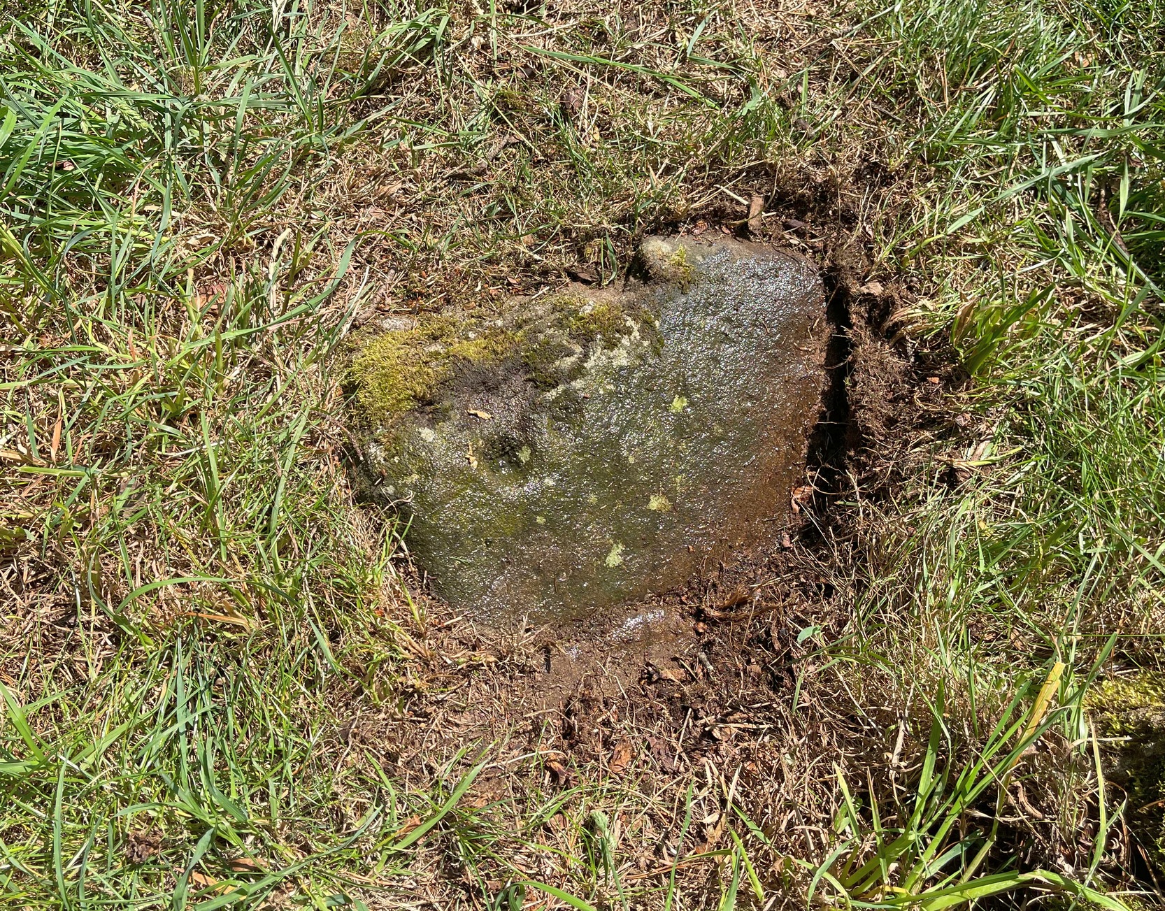
Cup-Marked Stone: OS Grid Reference – SE 14620 44272
Getting Here
You can walk up from Menston, up Moor Lane north-west towards the moor, then turning left when you hit the moorland road of Hillings Lane. Nearly 350 yards along, turn right up the track known as Occupation lane onto the moor. More than half-a-mile up, past the gate at the Bee Stone, where the track splits, keep to the left and head further uphill, roughly parallel with the fence on your left. Literally ¼-mile (0.4 km) up from the split, you’re looking almost straight down at the reservoir; but to your left, walk towards the fence. Zigzag about! You can also approach it from the Grubstones and Great Skirtful area, by following the Occupation Lane track eastwards down the slope until you’re roughly level with the same reservoir.
Archaeology & History
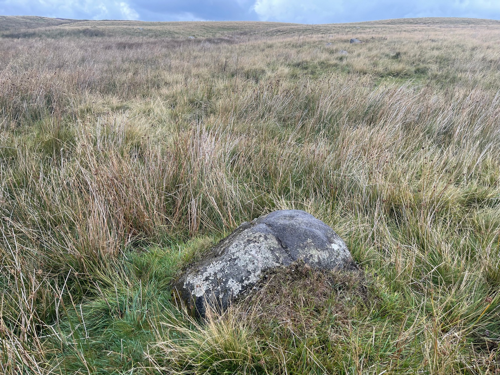
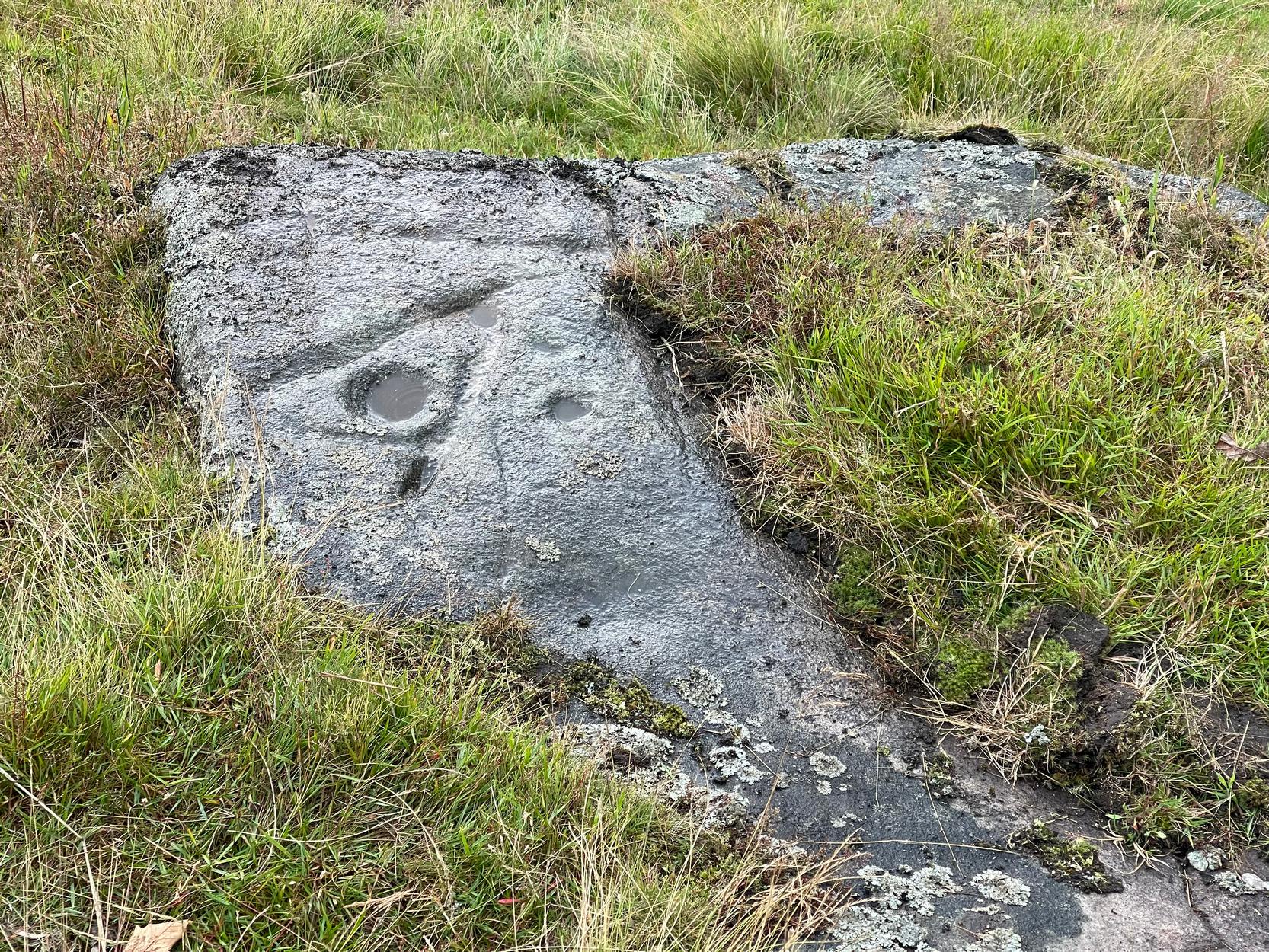
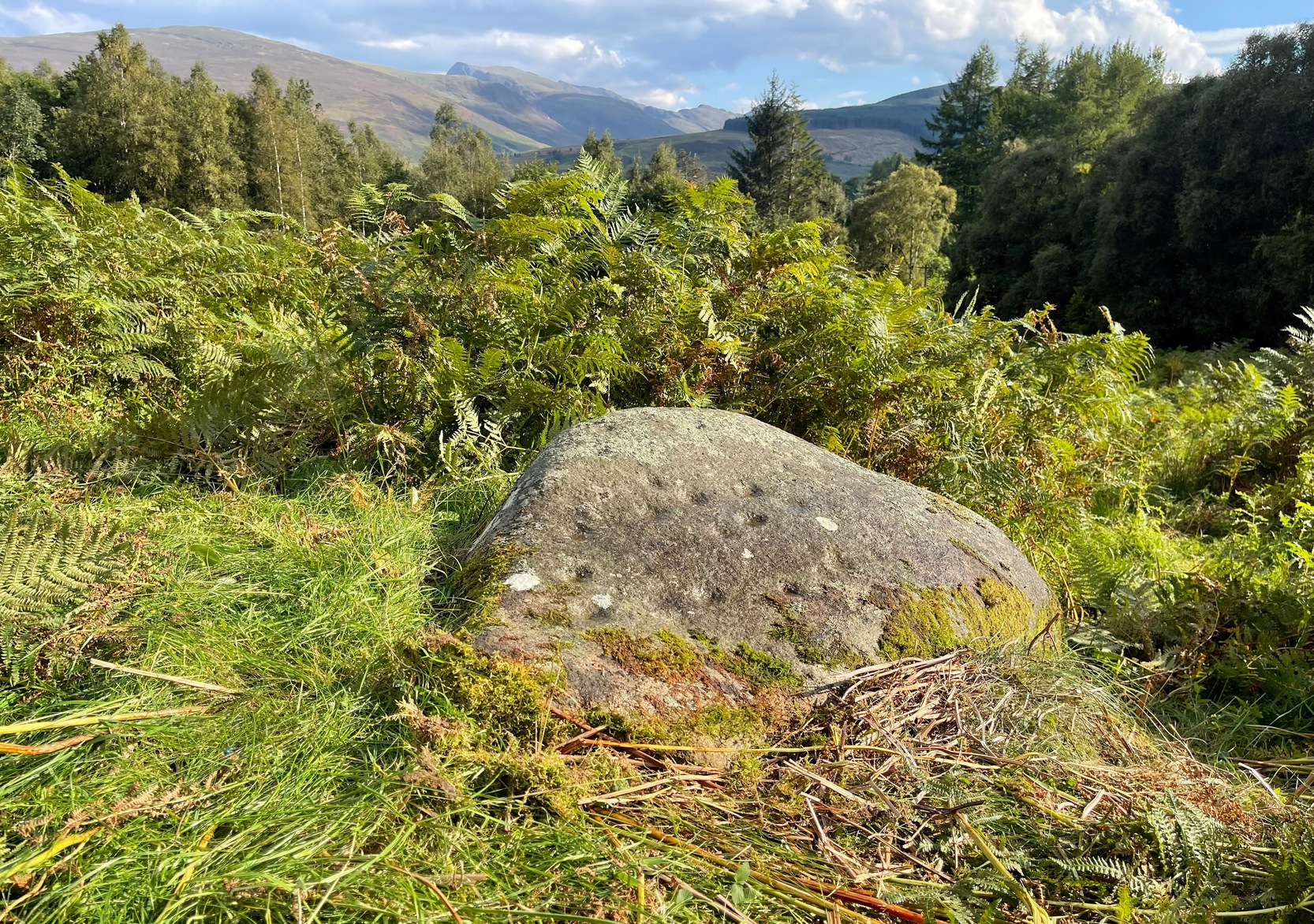
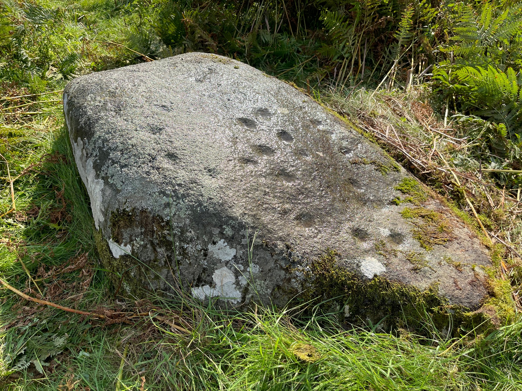
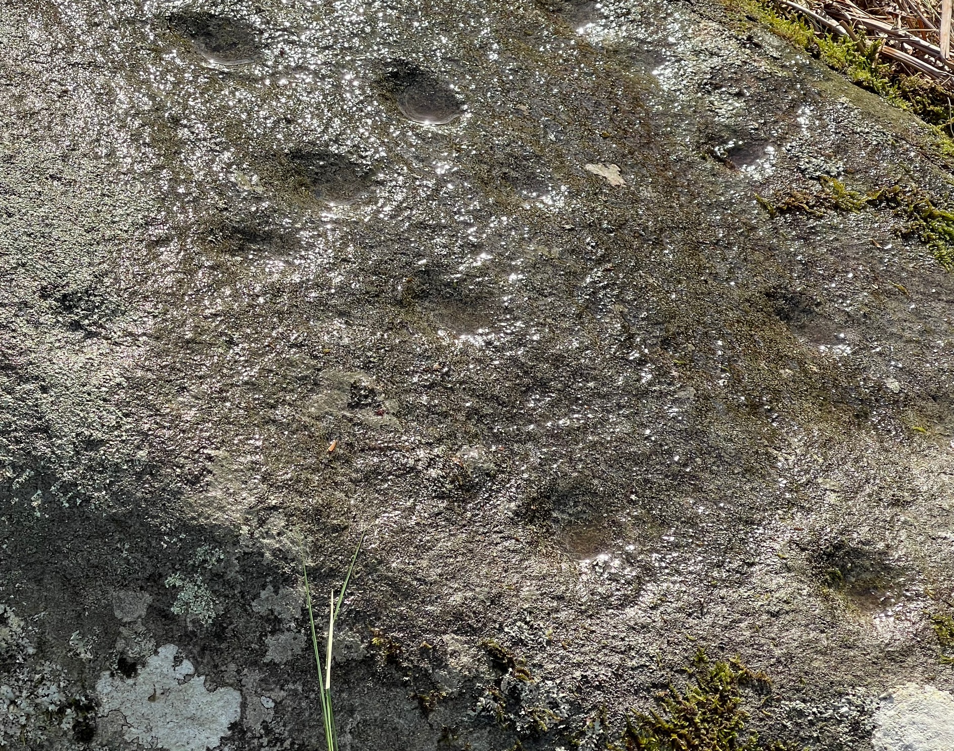
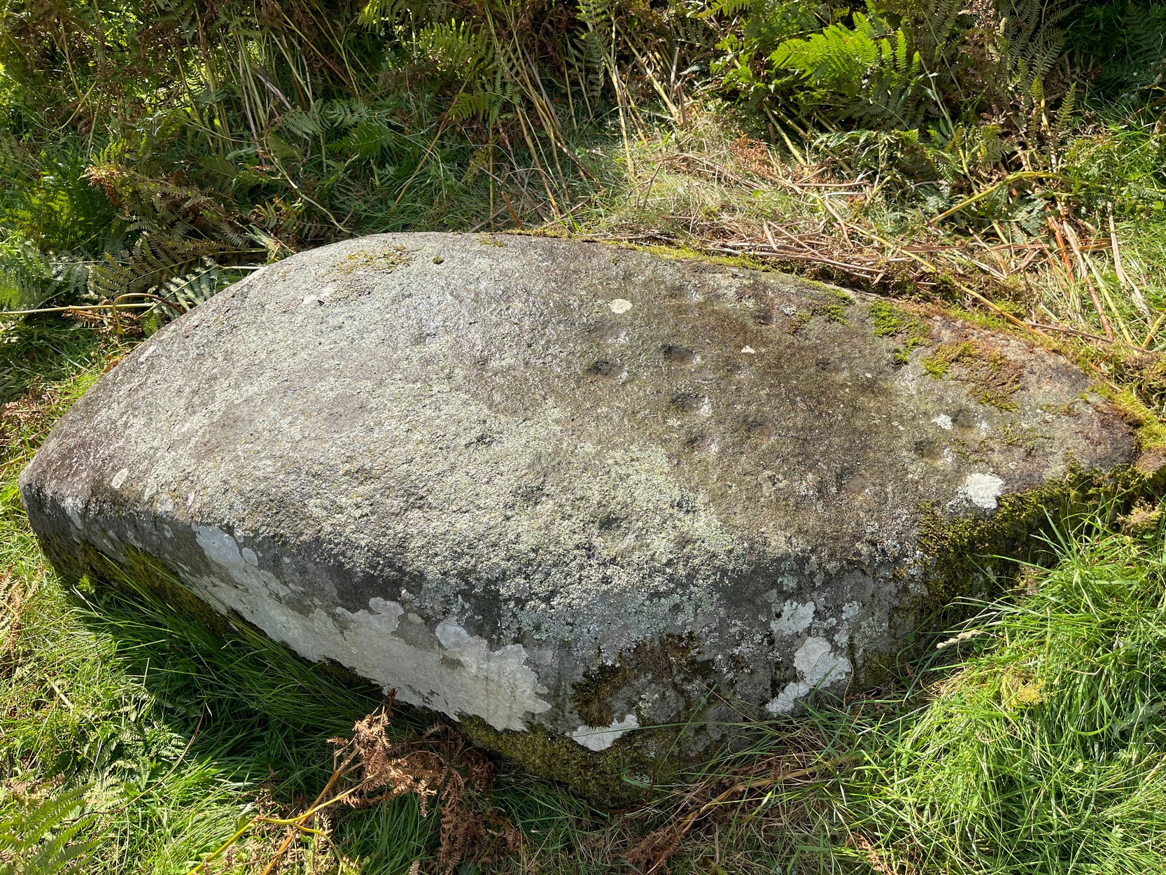
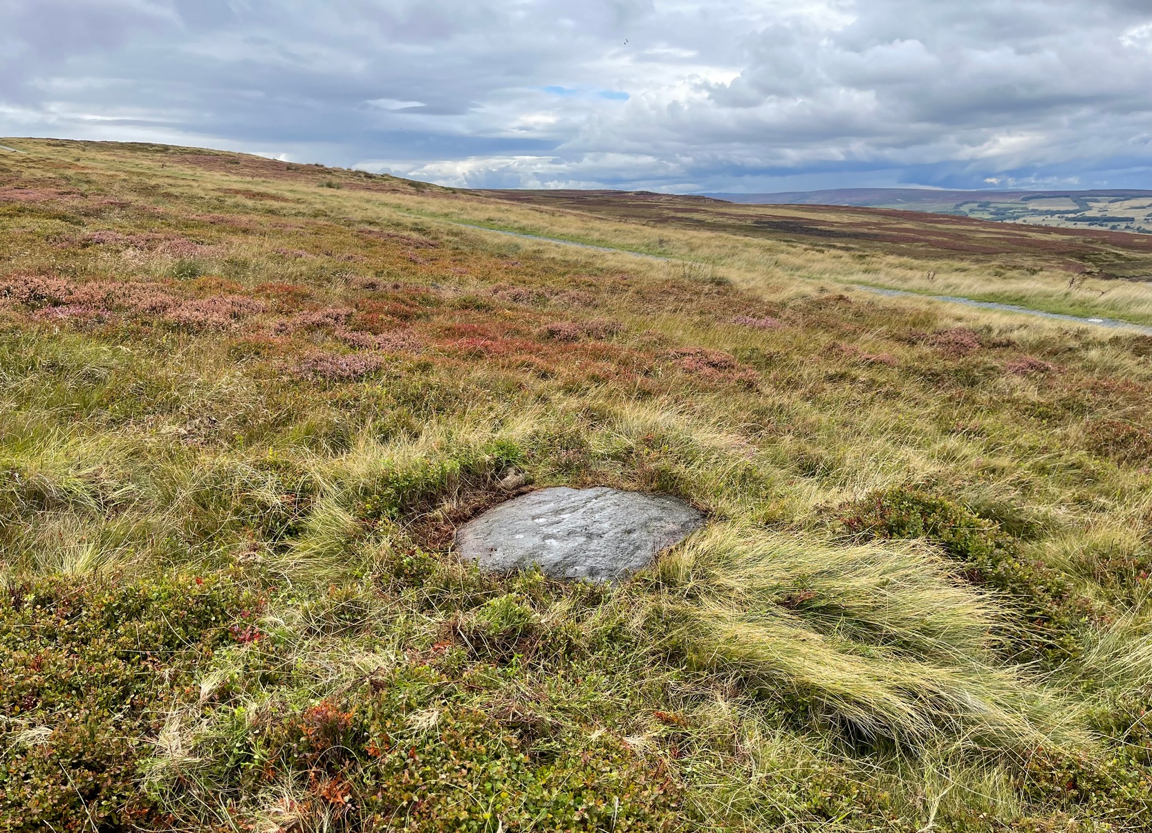
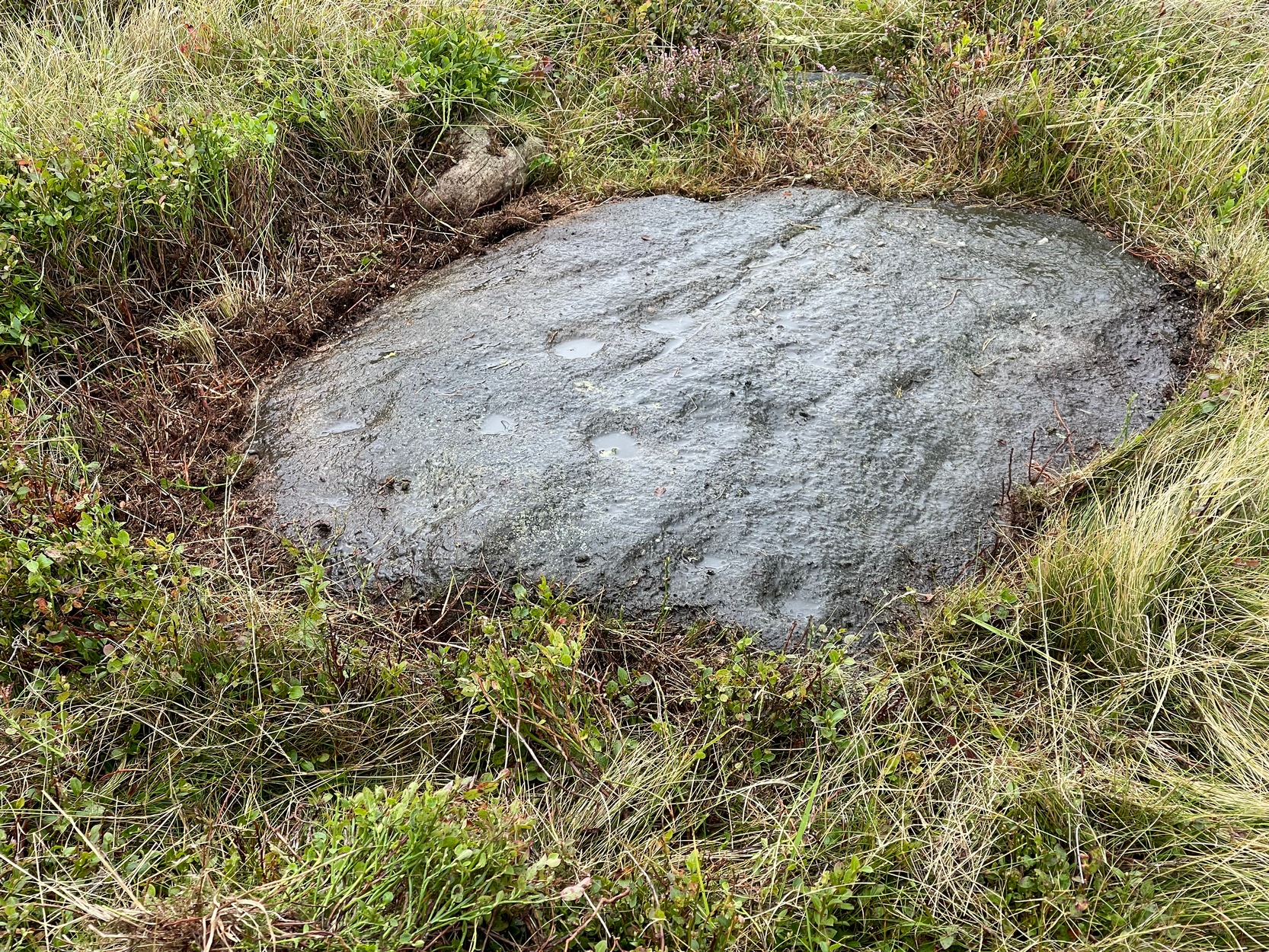
On this somewhat isolated stone on the northern sloping edge of Craven Hall Hill we find a small cluster of shallow cup-marks, first noted in the 1980s and eventually mentioned in a survey by Boughey & Vickerman (2003) where they described it as a,
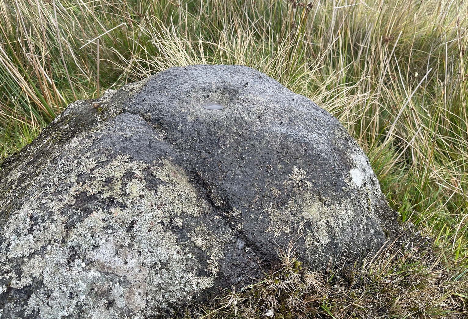
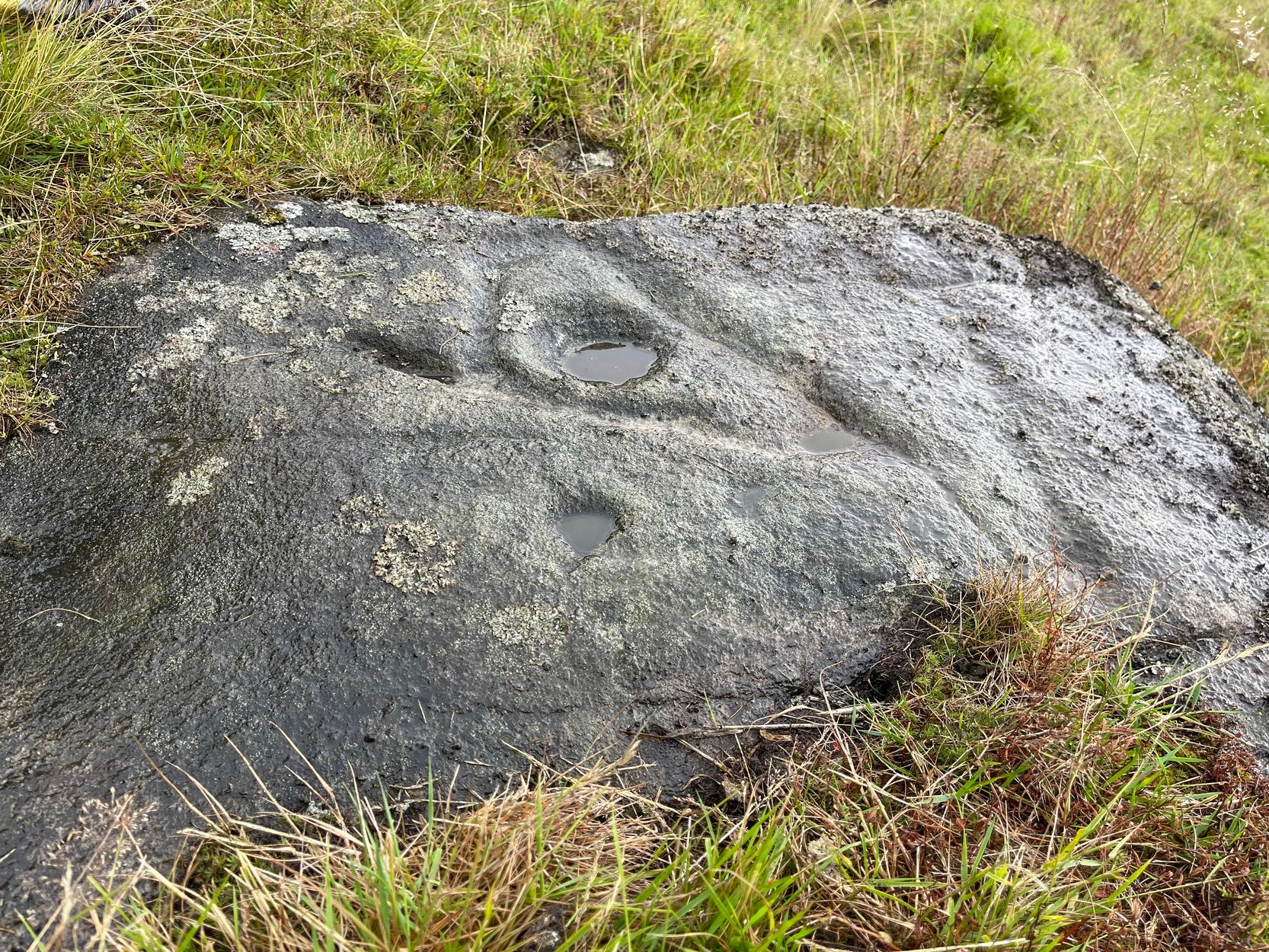
“Low, medium striated rock lying in slope of hill. SE end carries possibly up to eleven cups, possibly two sets grouped in arcs running into natural striations of rock, one of which may have been artificially enhanced by pecking.”
The view from here is quite something: gazing east to the heathen hilltop of Otley Chevin (Beltane rites and rock art — albeit not much), north-east to the far uplands of the White Horse of Kilburn, then across the northern panoramas of Askwith and Denton Moors, and beyond. Some archaeologists have started to believe that such vistas may have had relevance with such carvings, sometimes. They’ve caught up at last! 🙂 Anyhow, the carving itself is pretty simplistic and probably only of interest to the real petroglyph nuts amongst you – although it’s mebbe worth checking out if you’re visiting the Great Skirtful giant cairn and its very impressive hengi-form neighbour.

References:
- Boughey, Keith & Vickerman, E.A., Prehistoric Rock Art of the West Riding, WYAS: Wakefield 2003.
- Boughey, Keith & Vickerman, E.A., Prehistoric Rock Art of the West Riding – Supplement, YAS 2018.
Acknowledgements: With thanks to Tom Cleland for help in relocating the site on a recent visit.
© Paul Bennett, The Northern Antiquarian