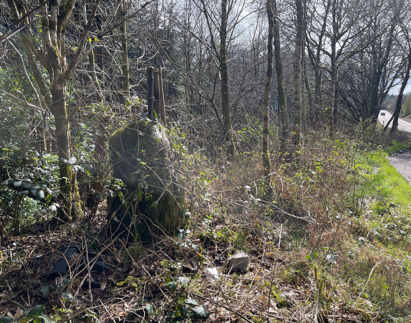
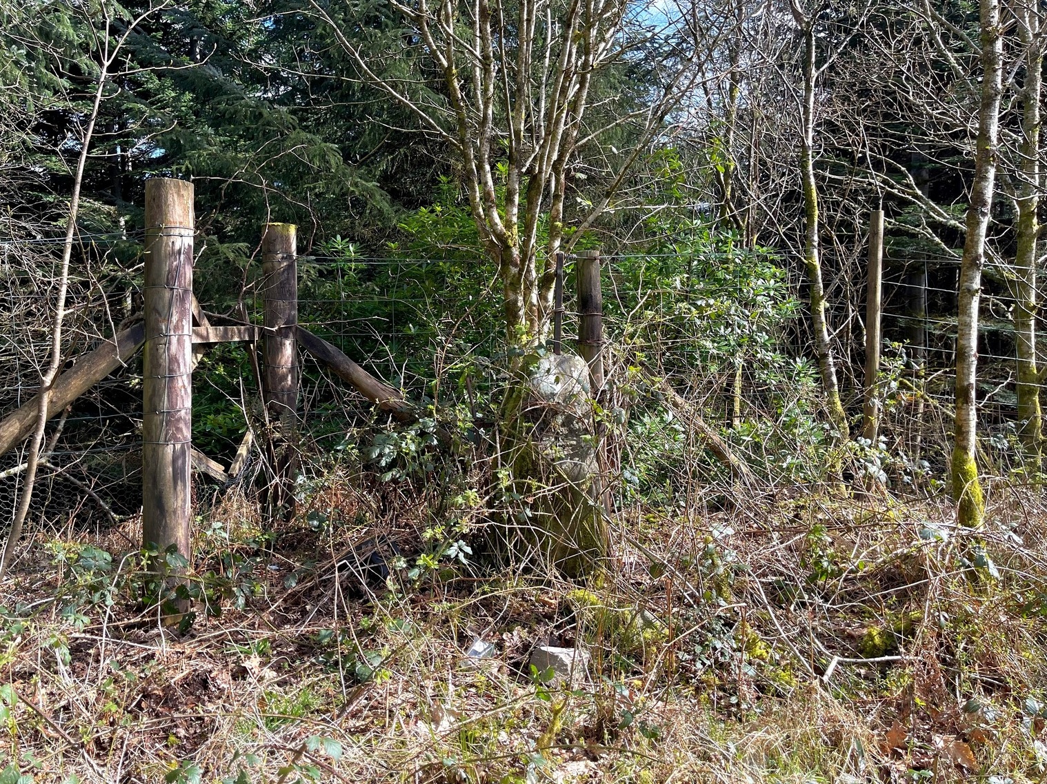
Cup-Marked Stone (lost): OS Grid Reference – SG 21537 42375
Also Known as:
- Ballykean ‘Stone F’ (Kinihan 1884)
Archaeology & History
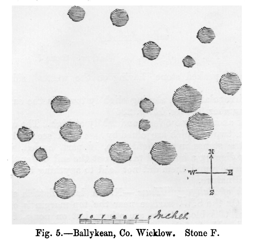
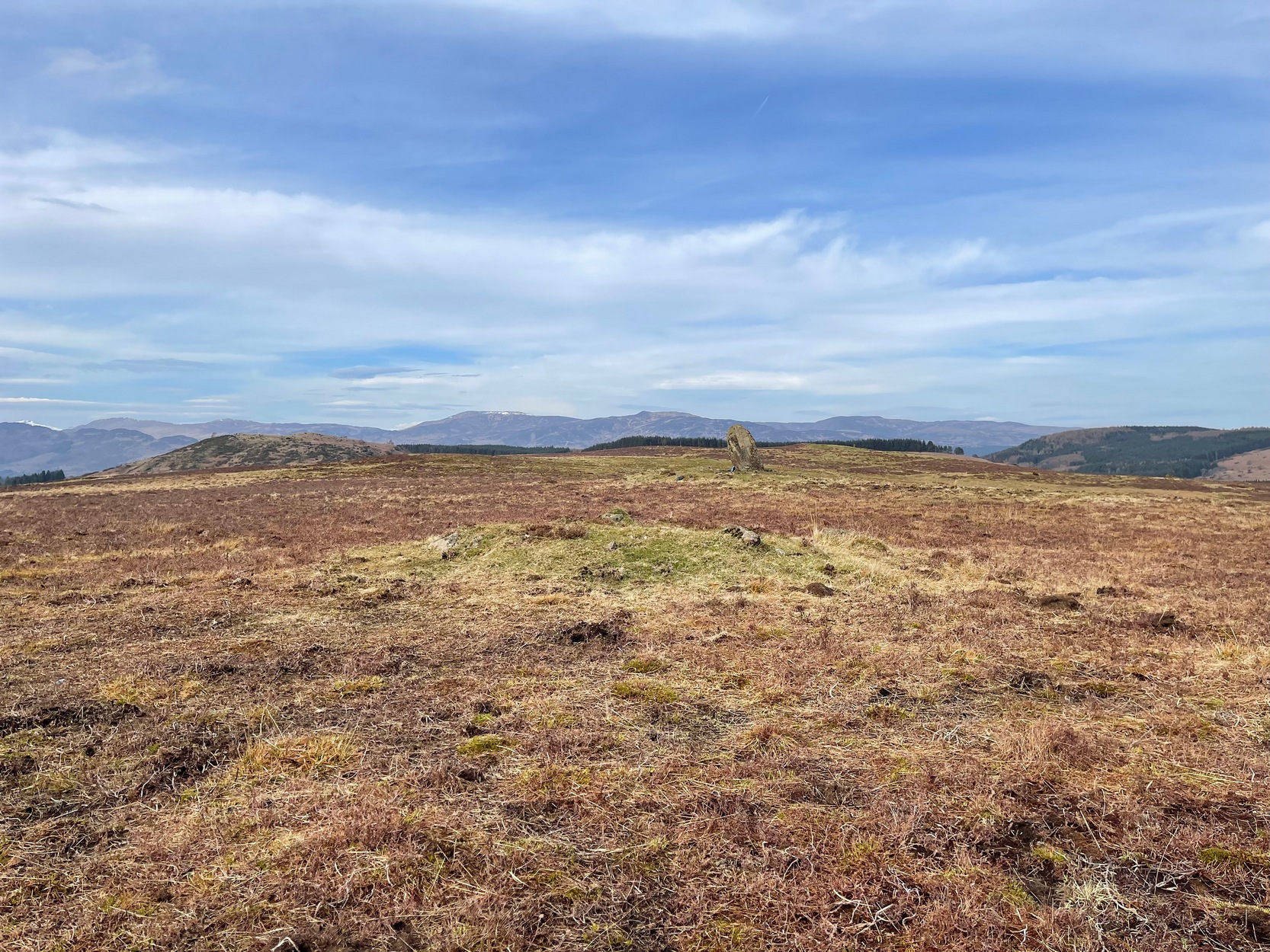
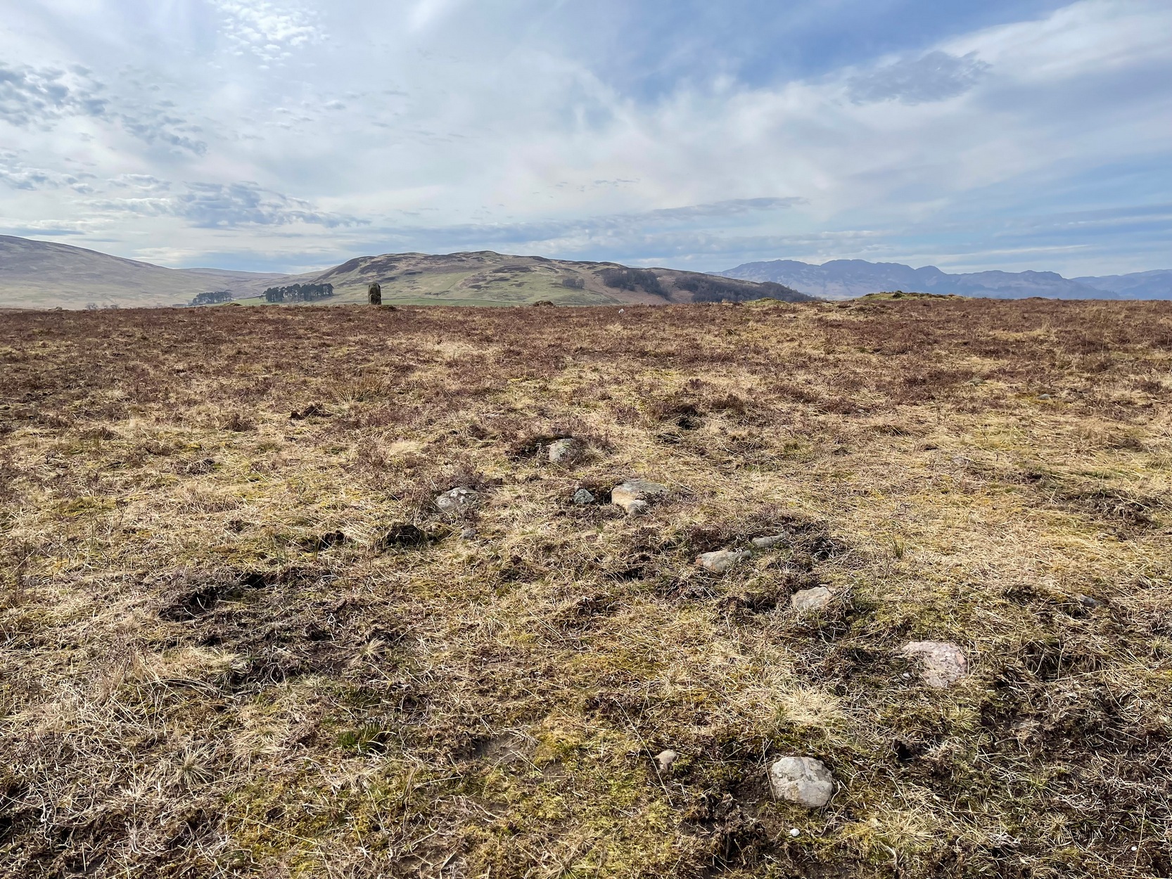
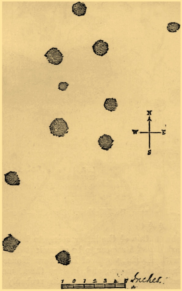
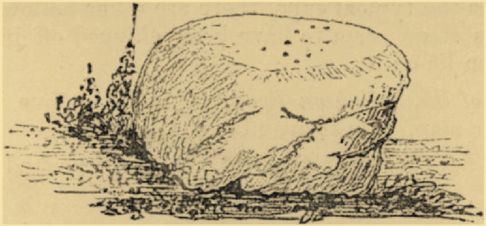
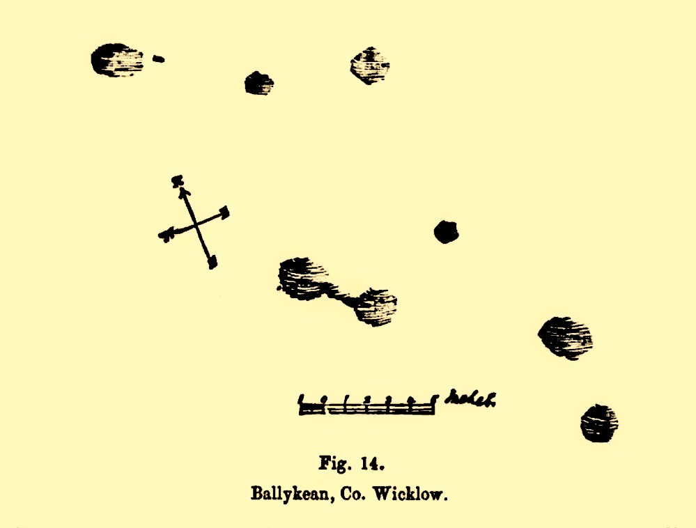
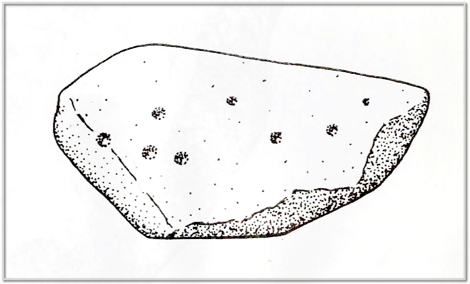
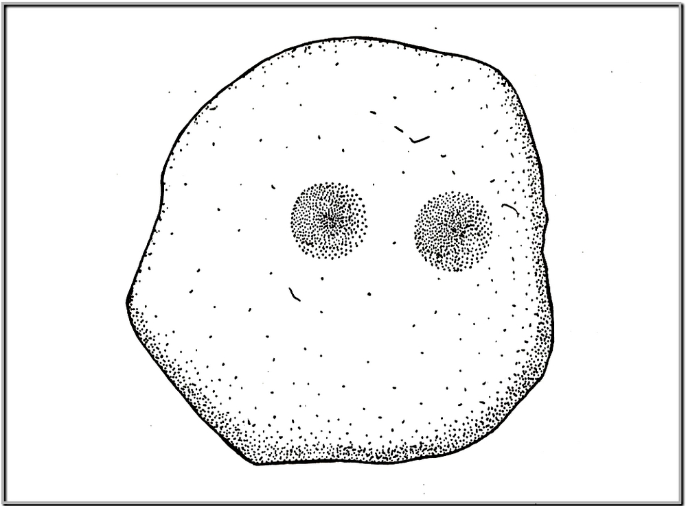
This is one of at least fourteen petroglyphs in this parish that have been either lost or destroyed since their initial description in the 19th century. It was described in George Kinihan’s (1884) survey as being, “a slightly dome-shaped stone, its surface being nearly level with that of the ground. The cups are both numerous and deep…although bits of the surface have been flaked off by fire.” He took a rubbing of the stone which showed nineteen cup-marks on its upper surface. When the Archaeological Survey of Ireland looked for the carving in 1990 it could not be located; and when Christiaan Corlett (2014) described this and the other carvings in this cluster, he thought that a group of stones dumped “in a hollow area north of the field” might possibly be where it had been moved to—although no such carvings have been identified there.
References:
- Corlett, Christiaan, Inscribing the Landscape: The Rock Art of South Leinster, Wordwell: Dublin 2014.
- Kinihan, George H., “Proceedings: Cup-marked and Inscribed Stones in the Counties of Wicklow and Wexford”, in Journal Royal Society Antiquaries Ireland, (4th series) volume 6, 1884.
© Paul Bennett, The Northern Antiquarian