Cromlech / Dolmen: OS Grid Reference – SW 42973 33681
Antiquarian Notes
William Borlase (1769), in his revised classic on the megaliths & antiquities of Cornwall, wrote:
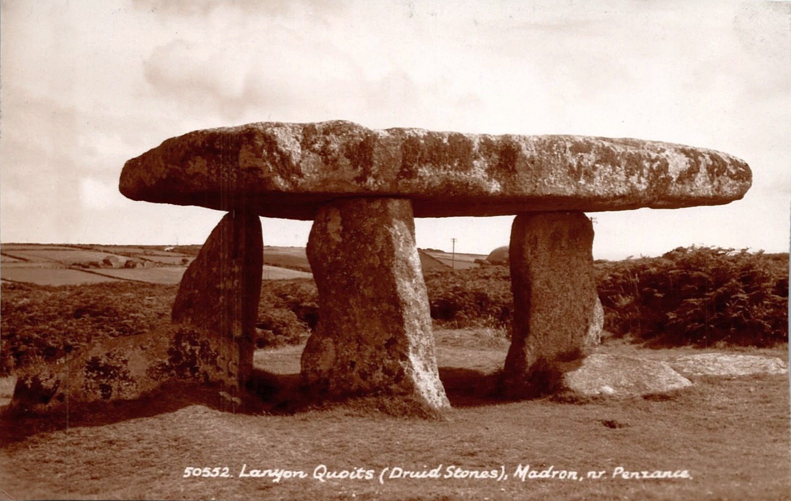
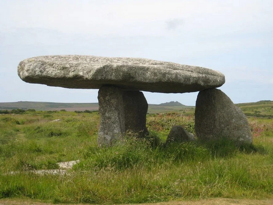
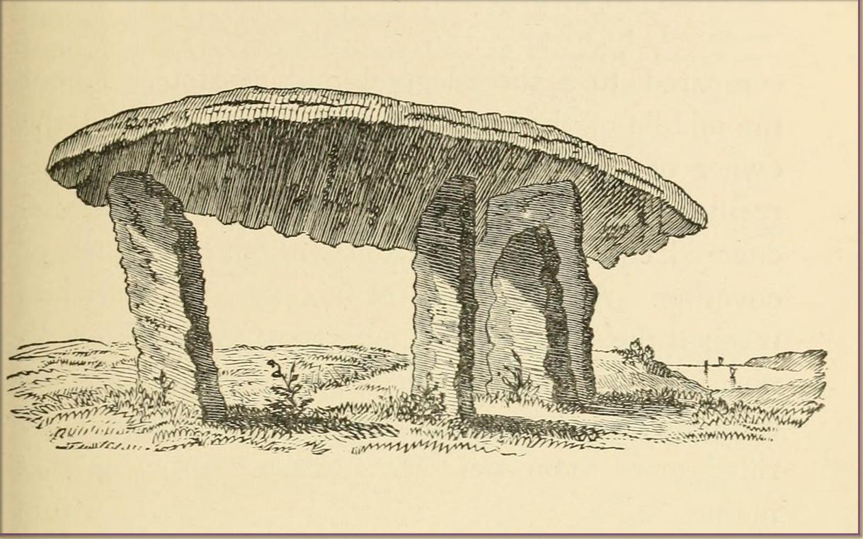
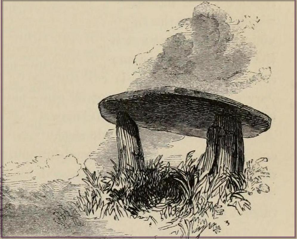
“Since we are now considering these Stone-monuments, there is a very singular Monument in the Parish of Madern (Cornwall) which in this place, will naturally offer itself to our enquiry. In the Tenement of Lanyon stand three Stones-erect on a triangular Plan. The shape, size, distance and bearing, will best be discerned from the plan and elevation of them…
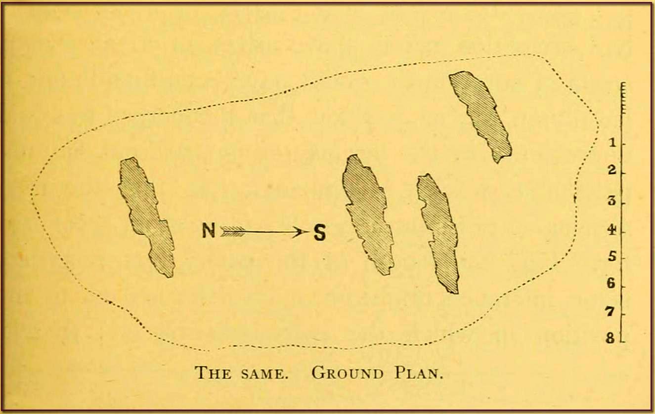
“The length of the area described by the supporters of Lanyon Quoit is seven feet; but it does not ſtand East and West, as at Molfra, but North and South… There is no Kist-vaen, that is, no area marked out by Side Stones, under this Quoit, which is more than 47 feet in girt, nineteen feet long; its thickness in the middle, on the Eastern edge, is sixteen inches, at each end not so much, but at the Western edge this Quoit is two feet thick. The two chief supporters…do not stand at right angles with the front line, as in other Cromlehs, but obliquely, being forced from their original position, as I imagine, by the weight of this Quoit, which is also so high that a man can fit on horseback under it. Under this Quoit I caused to be sunk a pit of four feet and half deep, and found it all black earth that had been moved, and should have sunk still deeper, but that the Gentleman in whose ground it is, told me, that a few years before, the whole cavity had been opened (on account of some dream) to the full depth of six feet, and then the faster appeared, and they dug no deeper; that the cavity was in the shape of a grave, and had been rifled more than once, but that nothing was found more than ordinary. This Cromleh stands on a low bank of earth, not two feet higher than the adjacent soil, about 20 feet wide, and 70 long, running North and South: at the South end has many rough Stones, some pitched on end, in no order; yet not the natural furniture of the surface, but designedly put there; though, by the remains, it is difficult to say what their original poſition was. Wet N. W. there is a high stone about 80 yards distance. By the black earth thrown up in digging here, nothing is to be absolutely concluded, there having happened so many disturbances. By the pit being in the shape of a grave, and six feet deep, it is not improbable that a human body was interred here, and by the length of the bank, and the many disorderly stones at the South end, this should seem to have been a burial place for more than one person.”
Antiquarian Notes
William Cotton, in 1827, told that:
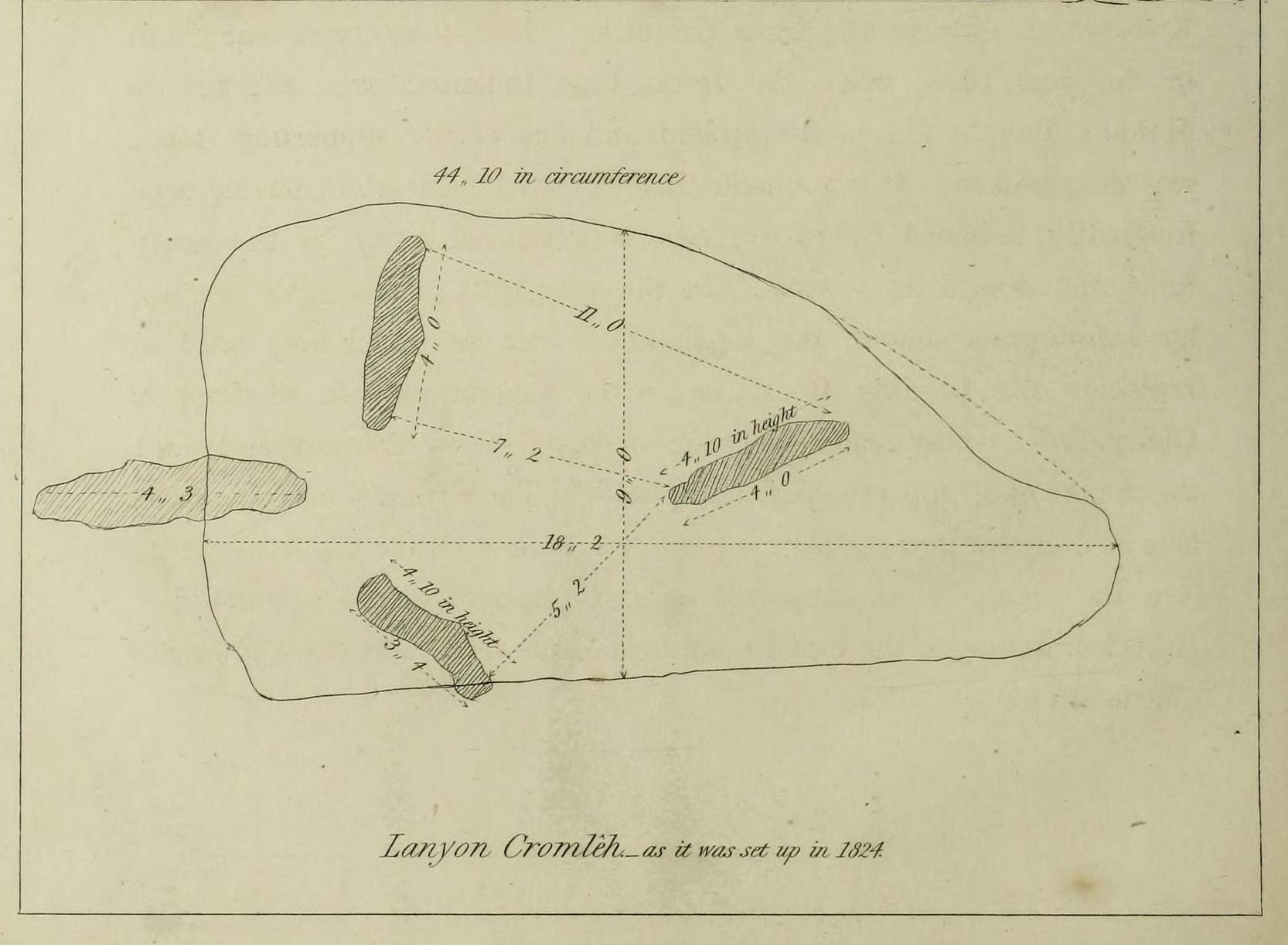
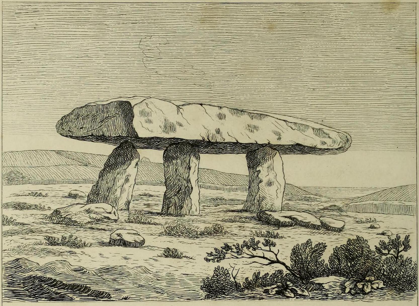
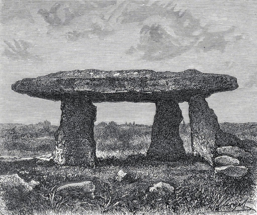
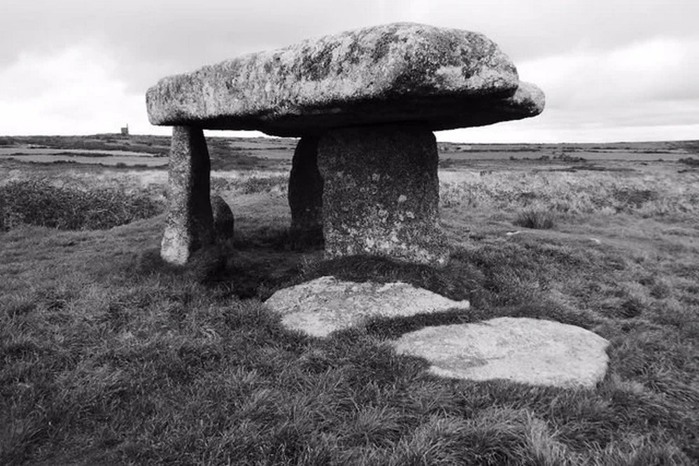
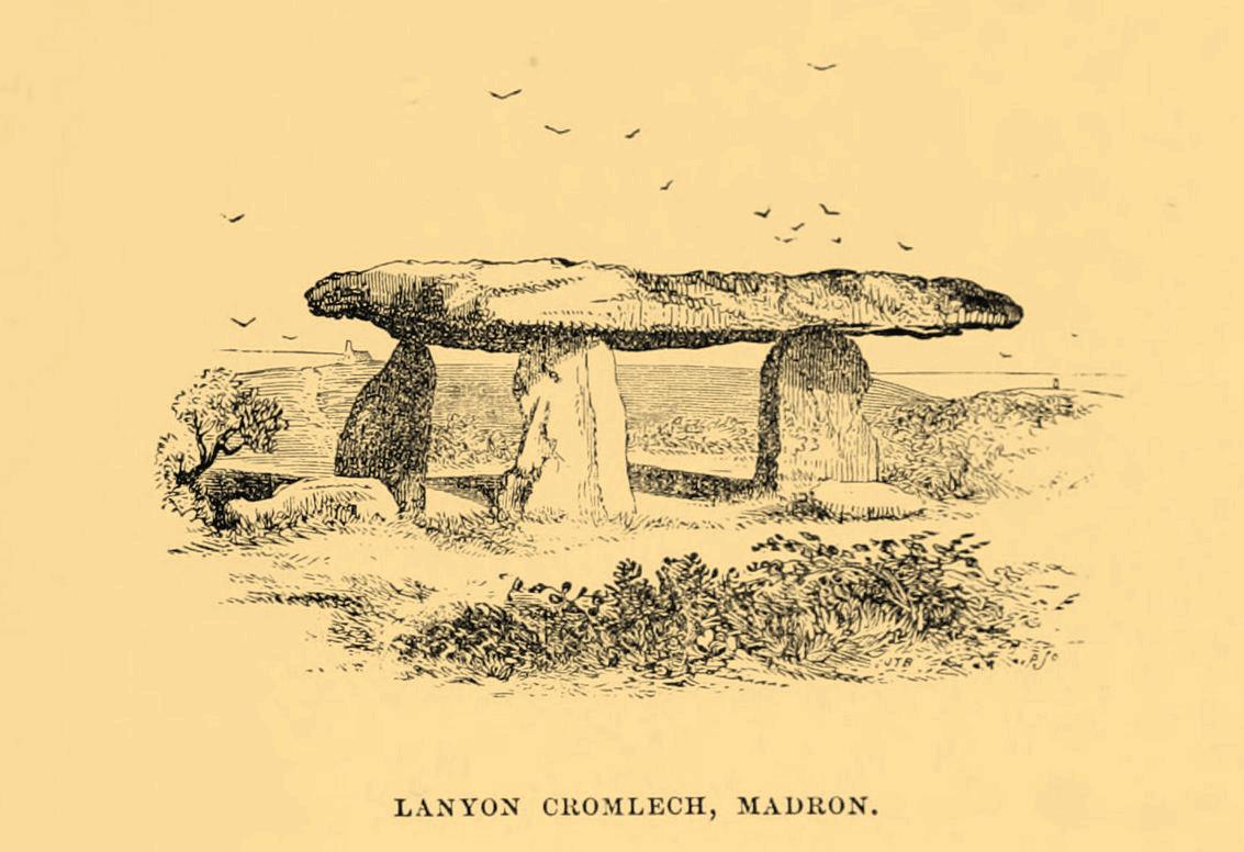
“About a mile and a half north of the church, in the parish of Maddern, and close to the road side, is Lanyon Cromleh, so called from the name of the estate on which it stands. The covering stone, which is nearly flat, and of a triangular figure, measures 44 feet 10 inches in circumference, 18 feet 2 inches in its greatest length, and 9 feet in width, and weighs 15 tons. This Quoit, as it is usually called, was originally supported on four upright stones, describing an open area 7 feet in length, north and south, but not forming an enclosed Kistvaen, like Molfra and Chun Cromlehs. During a very violent storm in the year 1815, when the Delhi East Indiaman was wrecked in Mount’s Bay, it fell to the ground, and one of the supporting stones was then broken. It is probable that the earth beneath it, having been frequently loosened by excavations, was washed away by the heavy rains, and caused its downfal. In the year 1824 it was again set up, by subscription among the inhabitants, with the machinery used in replacing the Logging Rock, under the superintendence of Captain Giddy, R.N., whose zealous exertions overcame every difficulty, and merit the thanks of all topographical antiquaries. The Cromleh now stands as firm as ever: in putting it up, a piece was broken off the top stone, at A, (see the plan). It is supported on three upright stones, each 4 feet 10 inches in height, the tops having been made level, and their positions a little altered.
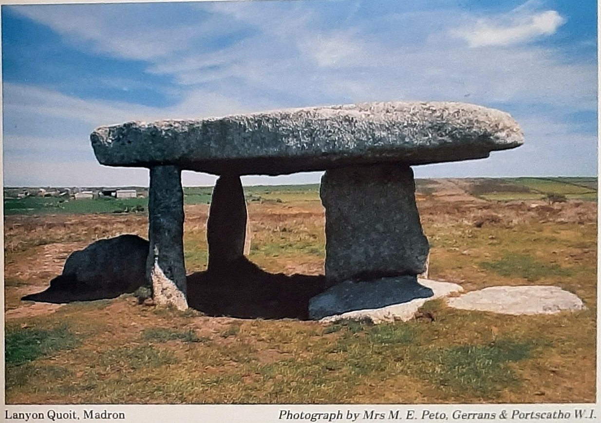
“This view represents Lanyon Cromleh as it now stands, and differs from all the prints I have seen of it, — which have been uniformly copied from Dr. Borlase’s book, and do not, by any means, give a correct representation. The doctor says, in his time a man on horseback could ride under the incumbent stone — now, its height from the ground is only 4 feet 10 inches. The figures 1824, to mark the year when it was re-erected, have been rudely inscribed on one of the supporting stones.
“Dr. Borlase caused an excavation to be made under this Cromleh, as well as under the last mentioned, but without discovering any human bones ; he was led, however, to conclude, by the appearance of the earth, that a body had been interred there.”
Antiquarian Notes
James Orchard Halliwell wrote, in 1861:
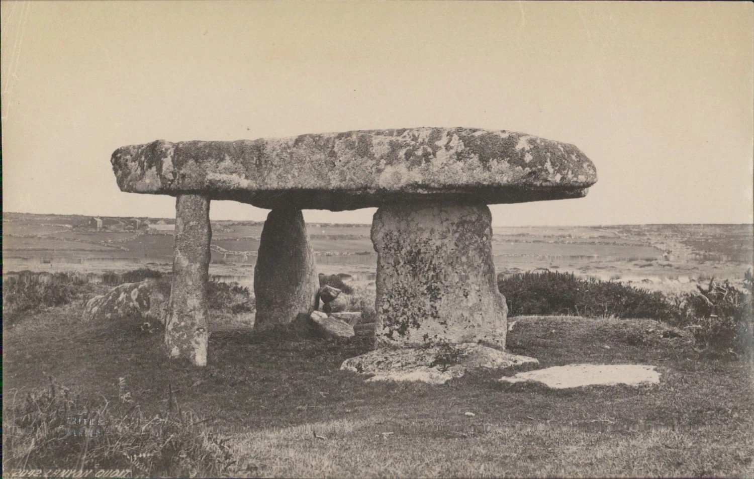
“At a distance of some five miles from Penzance, on the road from Madron to Morvah, near the road, on the right-hand side, is the Lanyon Quoit or Cromlech, a fine specimen, and perfect in all essential particulars. The best way of reaching it, if walking, is to take the path to the left in the fields after passing the Madron Union, and keep as nearly in a straight line as possible until the cromlech appears. It is situated in a conspicuous situation in the midst of a wild moor, and is interesting in its Titanic grandeur and vast antiquity. The top covering consists of an enormous flab of granite, supported by three upright unhewn blocks of stone, but near there are three fallen stones, one of which at least was certainly at one time one of the supporters. The dimensions of the cap-stone are thus given by Borlase: —
“This quoit is more than forty-seven feet in girt, and nineteen feet long ; its thickness in the middle on the eastern edge is sixteen inches, at each end not so much, but at the western edge it is two feet thick.”
This cromlech is sometimes called by the country people the Giant’s Quoit, and occasionally the Giant’s Table. My measurement made the covering-stone forty-fix feet in circumference, with a thickness varying from ten to eighteen inches. It is not improbable that the stone has been chipped off at one or two of the corners since the time of Borlase. Between the cromlech and the road are the remains of a stone and earth circular barrow about eighteen feet in diameter. There is an odd tradition that the first battle fought in England was decided in the locality of Lanyon Quoit.”
Further Reading:
- Barnatt, John, Prehistoric Cornwall, Turnstone: Wellingborough 1982.
- Blight, J.T., A Week at the Land’s End, Longmans Green: London 1861.
- Borlase, William, Antiquities, Historical and Monumental, of the County of Cornwall, Bowyer & Nichols: London 1769.
- Borlase, William Copeland, Nænia Cornubiæ, Longmans Green Reader: Truro 1872.
- Colquhoun, Ithell, The Living Stones, Cornwall, Peter Owen: London 1957.
- Cooke, Ian, Antiquities of West Cornwall – Guide 1, Cornwall Litho: Reduth 2002.
- Halliwell, J.O., Rambles in Western Cornwall in the Footsteps of Giants, John Russel Smith: London 1861.
- Jewitt, Llewellynn, Grave Mounds and their Contents, Groombridge: London 1870.
- Redding, Cyrus, An Illustrated Itinerary of the County of Cornwall, How & Parsons: London 1842.
- Russell, Vivien, West Penwith Survey, Cornwall Archaeological Society: Truro 1971.
- Straffon, Cheryl, Megalithic Mysteries of Cornwall, Meyn Mamvro: Penzance 2004.
Acknowledgements: Huge thanks for use of the Ordnance Survey map in this site profile, reproduced with the kind permission of the National Library of Scotland.
© Paul Bennett, The Northern Antiquarian