Balsamic Well, Hoxton, London

Healing Well (destroyed):  OS Grid reference – TQ 330 827

Also Known as:

  1. Balsamick Well

Archaeology & History

In that typically rambling style beloved of early writers on medicinal springs, Timothy Byfield (1687) narrated the tale of uncovering this well in an almost alchemical discourse.  It was located when digging out the cellar of a house near Charles Square in the 1680s.  Upon investigation, the waters were found to possess a good quantity of sulphur and a small amount of iron, leading Byfield to proclaim it could cure a whole army of medical disorders, from cleaning out blockages in the alimentary canal, to treating kidney stones, scurvy, ulcers, headaches, migraines and more.  If used correctly and in the right amount,

” There is,” he says, “no unwholesome glebe (concretion) or any dangerous mineral or metal (in them) that casts one unhappy ray into this healing fountain.” On the contrary, they set up ‘* such a pretty bustle or ferment in nature that makes gay a well-temper’d Healthy Body.”

In the early days when Spa Wells were in vogue, the Balsamic Well became a competitor to the nearby St Agnes le Clear Well, which is probably the reason why one doctor dissuaded the toffs of the time to avoid it!

The waters possessed a slight vinegar-esque flavour—hence the name.  In John MacPherson’s (1871) work, he described it as a “chalybeate well” and despite it having that typical “bituminous scum on it, strange to say,” it yielded “a pleasant aromatic flavour.”  The site has long since been covered over.

References:

  1. Byfield, Timothy, A Short and Plain Account of the late-found Balsamick Wells at Hoxdon, London 1687.
  2. Foord, Alfred Stanley, Springs, Streams and Spas of London: History and Association, T. Fisher Unwin: London 1910.
  3. Hembry, Phyllis, The English Spa 1560-1815, Athlone Press: London 1990.
  4. MacPherson, John, Our Baths and Wells, MacMillan: London 1871.
  5. Sunderland, Septimus, Old London Spas, Baths and Wells, John Bale: London 1915.

© Paul BennettThe Northern Antiquarian

Town Cross, Kendal, Westmorland

Cross (destroyed):  OS Grid reference – SD 5152 9280

Also Known as:

  1. Cold Stone
  2. Market Cross

Archaeology & History

Not to be confused with the carved cross fragments held in the local church, this old town cross has long since gone.  It’s existence was recorded by the great Kendal historian Cornelius Nicholson (1861), but even in his day, this “obstruction” as he called it, was no longer standing.  Known as the local Market Cross where all the wheeling and dealing took place—official ones, as well as the not-so-official works of local folks—it stood just off Stricklandgate,

“opposite the Covered Market, and was an obstruction in the street.  There still remains a remnant of it in a stone at the corner, vulgarly called “cold stone,” where the charters and so forth were usually proclaimed.  Cold stone is a corruption of “call stone;” an appendage common to most ancient towns, where all public matters were “called” prior to the “institution” of belman.”

This folk etymology of “cold” needs to kept in mind when we come across other stones of this name.  …The earliest record of a market held at Kendal is from 1402, but written records of the Market Cross are scant until 1714. Such edifices tend to be architecturally ornate, but we have neither sketches nor descriptions of this lost site and must await the work of fellow researchers who may hopefully find out more.

References:

  1. Nicholson, Cornelius, The Annals of Kendal, Whitaker & Co.: London 1861.
  2. Smith, A.H., The Place-Names of Westmorland – volume 1, Cambridge University Press 1967.

© Paul BennettThe Northern Antiquarian

Cartington Cove, Rothbury, Northumberland

Cup-and-Ring Stone (destroyed):  OS Grid Reference – NU 0444 0186

Archaeology & History

In an area teeming with prehistoric sites from the neolithic and Bronze Age periods, we had a rare example here of some cup-and-rings that had been carved within a small cave or rock shelter of some kind.  Sadly it got destroyed in the mid-19th century due to quarrying operations—but not before George Tate (1864; 1865) had a final sniff of the place and was very lucky to see some of the remains before they finally bit-the-dust.  He told us:

“The great sandstone ridge ranges from Eglingham and Beanley across the central part of the county towards Rothbury, near to which is a cave in the rock called “Cartington Cove;” concentric circles with central hollows were incised within this cave.  Mr. Williamson of Alnwick, from whom I had this information, played around them when a boy more than fifty years ago; and they were then popularly called “Cups and Saucers.”  Nearly all of them have been destroyed by the wedges and hammers of quarrymen; but on visiting the spot in 1859, I found sufficient traces to confirm Mr. Williamson’s testimony.”

But they were gone a few years later thanks to the lads at the quarry.  Although the site was subsequently described in Beckensall’s modern surveys (1992; 2006), nothing more was found about them.

Folklore

Whilst David Dixon (1903) reiterated Mr Tate’s notes on the “series of incised concentric circles and central hollows” here, he also mentioned an old piece of folklore:

“At Cartington Cove (is) a recess or cave which, local tradition says, is connected by a subterranean passage with Cartington Castle, three miles distant!”

Intriguing ingredients: caves – Underworld journey – north – all symbolic of Death in pre-christian lore.  Just saying…

References:

  1. Beckensall, Stan, Prehistoric Rock Motifs of Northumberland – volume 2, Abbey Press: Hexham 1992.
  2. Beckensall, Stan, Circles in Stone: A British Prehistoric Mystery, Tempus: Stroud 2006.
  3. Dixon, David D., Upper Coquetdale, Northumberland, Robert Redpath: Newcastle-upon-Tyne 1903.
  4. Tate, George, “The Ancient British Sculptured Rocks of Northumberland and the Eastern Borders,” in History of the Berwickshire Naturalists Club, volume 5, 1864.
  5. Tate, George, The Ancient British Sculptured Rocks of Northumberland and the Eastern Borders, Henry Hunter Blair 1865.

© Paul BennettThe Northern Antiquarian

Yeavering, Kirknewton, Northumberland

Cup-and-Ring Stone (lost):  OS Grid Reference – NT 931 302

Archaeology & History

Little is now known of this carving which was described briefly by Stan Beckensall (1983):

“A cup and ring marked stone was found in the field north of Yeavering Bell in the neighbourhood of the monolith.  The last heard of it, according to the Northumberland County History (14:67) was that it was in the grounds of Ewart Park.”

The monolith he speaks of would be the one called the Battle Stone (NT 9299 3038) and Ewart Park is 2 miles ENE of here.  The carving remains lost. (the grid reference where the stone was originally located is an approximation, but a pretty good one)

References:

  1. Beckensall, Stan, Northumberland’s Prehistoric Rock Carvings – A Mystery Explained, Pendulum: Rothbury 1983.

© Paul BennettThe Northern Antiquarian

Shooting House East, Askwith Moor, North Yorkshire

Hut Circles:  OS Grid Reference – SE 17401 50967

Getting Here

Askwith Moor hut circle (1)

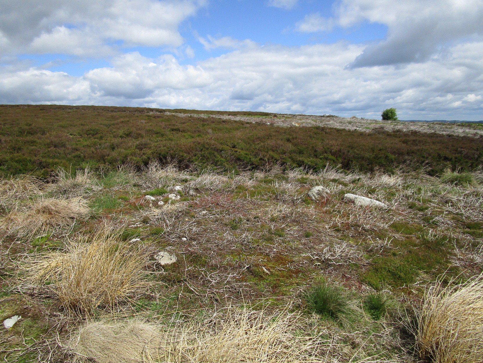
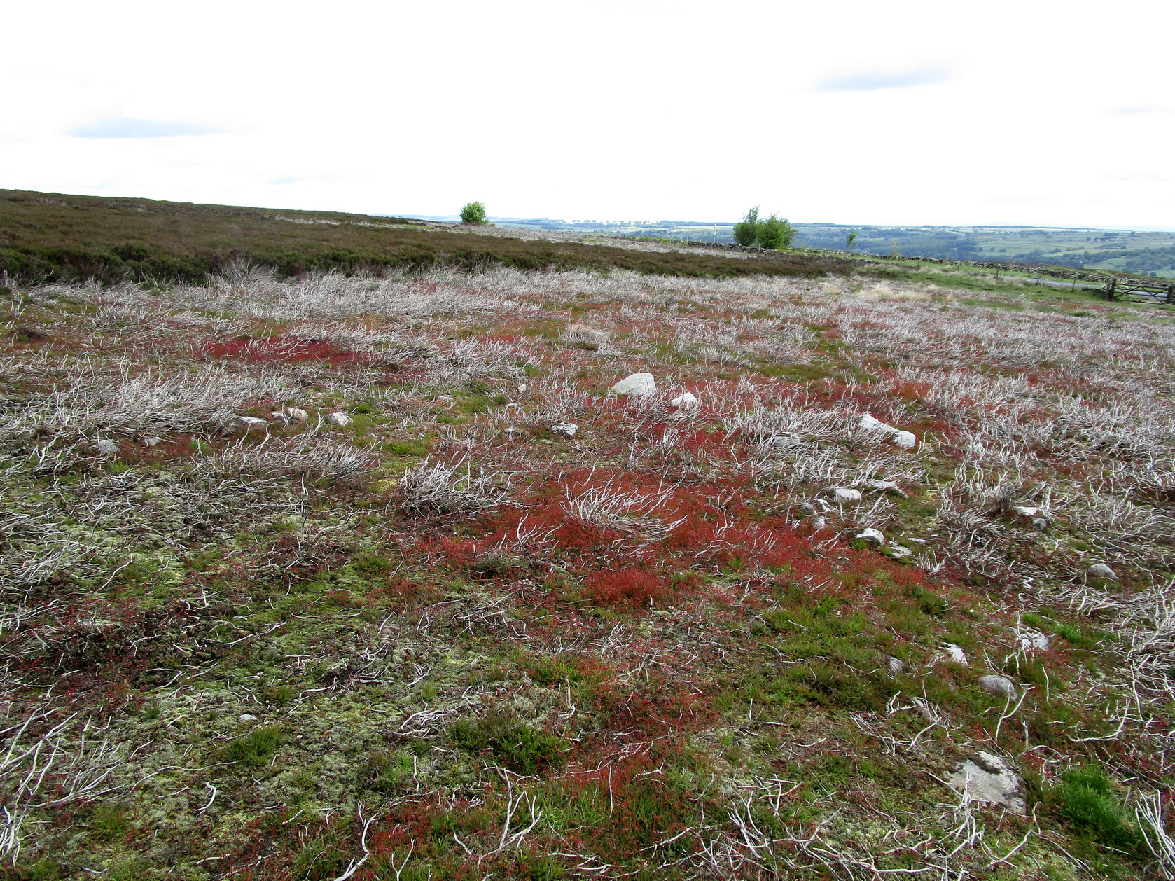
Along the only road that crosses Askwith Moor, park up at the single carpark on the east-side of the road.  Walk up the road for 350 yards and through the gate on the left-hand (west) side of the road onto the moorland.  Once through the gate, walk directly west into the heather immediately below the path for some 25-30 yards.  Look around!

Archaeology & History

Rediscovered by Helen Summerton in May 2022 are at least two simple hut circles on this level piece of land close to the roadside, amidst this much wider and impressive prehistoric landscape.

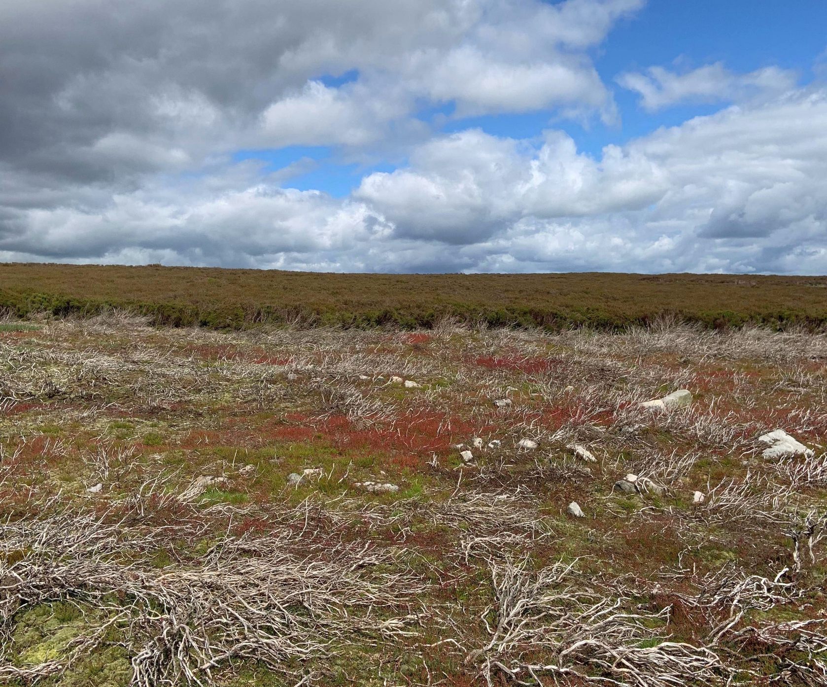
The small ring of stones (SE 17430 50978) closest to the road is slightly more troublesome to make out due to it being more deeply embedded in the peat than its companion about 30 yards away.  Comprising of typically small rubble walling, this first circle is only 4 yards across and would certainly have been fine for one person or, at a push, perhaps a small family.

Askwith Moor hut circle (2)

Its companion immediately west (SE 17401 50953) is somewhat larger and slightly more elongated in shape, being 10 yards along and 5-6 yards across, as well as being in a better state of preservation.  This larger hut circle has been raised on a notable artificial earth-and-rubble plinth, being one or two feet higher than the surrounding peatland.  A notable internal stretch of walling only a yard or two in length exists within the southeastern side of the construction, whose nature can only be discerned upon excavation: an issue we can say applies to the many prehistoric settlements and tombs across this small moorland.  It’s very likely that other settlement remains will be found close to these two hut circles.

The remains of another hut circle can be found closer to Shooting House Hill, several hundred yards away; whilst five hundred yards southwest we find a small but impressive cairnfield.  There are also a good number of petroglyphs close by and on much of the surrounding landscape.

Acknowledgments:  Huge thanks to Helen Summerton (not Winterton) for finding these ‘ere remains – and for the photos accompanying this site profile.

© Paul BennettThe Northern Antiquarian

Barley Cross, Richmond, North Yorkshire

Cross (destroyed):  OS Grid Reference – NZ 1709 0085

Archaeology & History

This was one of at least four old stone crosses that used to exist in Richmond.  It was accompanied by other functional edifices nearby known as the Oat Cross and Wheat Cross.  Like its companions, the Barley Cross is thought to have been the site where this grain was traded.  An early reference to it is Chris Clarkson’s (1814) survey, where he told us that not far from the old Market Cross,

“was formerly another, which went by the name of Barley Cross, perhaps so named from that sort of corn being sold there: it was a lofty Pillar of one large stone upon a small flight of steps with a cross at the top: rings were fastened to it, where criminals were punished by whipping: it is not long since it was taken down.”

Barley Cross (centre left) on 1724 town plan

Similar punishments were also administered to people at the original old Market Cross.  The grand masters of of Yorkshire history, Edmund Bogg (1908) and Harry Speight (1897) also mentioned this antiquity, but added nothing more.

The cross was highlighted on a 1724 plan of Richmond, just below the larger Market Cross.  In 1780 the local council ordered it to be demolished and, at a later date, large weighing scales were erected on the spot next to where it had stood, on the south-west side of the Trinity Church in the market square.

References:

  1. Bogg, Edmund, Richmondshire, James Miles: Leeds 1908.
  2. Clarkson, Christopher, The History of Richmond, T. Bowman: Richmond 1814.
  3. Home, Gordon, Yorkshire Dales and Fells, A. & C. Black: London 1906.
  4. Speight, Harry, Romantic Richmondshire, Elliot Stock: London 1897.

© Paul BennettThe Northern Antiquarian

Holy Well, Sulgrave, Northamptonshire

Holy Well (destroyed?):  OS Grid Reference – SP 5549 4574

Also Known as:

  1. Stock Well

Archaeology & History

This seemingly lost holy well was first mentioned by John Morton (1712), who told us that it was the source of the River Tove.  About eighty years later, John Bridges (1791) wrote that,

“In this town was formerly a grange to the monastery of St Andrews in Northampton; and a spring which riseth near the place where this house stood, still retains the name of Halywell Spring.”

Little else was written of the site until H.C. Smith’s (1933) in-depth overview of the famous Washington family (some dood called George apparently) of Sulgrave, where he echoed John Morton’s words that the River Tove “rises from the spring of Holy Well, near the site of the old Grange of St. Andrew’s Priory.”  He told that it was located up Stockwell Lane where an old water-mill was located and “the water for the mill is provided by a large mill-pool fed by a spring known in former times as Holy Well Spring.”  Local historian Beeby Thompson (1914) identified the Stock Well as being the later alternative name for our holy one.

References:

  1. Bridges, John, The History and Antiquities of Northamptonshire, D. Price: Oxford 1791.
  2. Hart, Jeremy, English Holy Wells – volume 2, HOAP: Wymeswold 2008.
  3. Morton, John, The Natural History of Northamptonshire, R. Knaplock: London 1712.
  4. Smith, H. Clifford, Sulgrave Manor and the Washingtons, MacMillan: New York 1933.
  5. Thompson, Beeby, “Peculiarities of Waters and Well,” in Journal Northamptonshire Natural History Society, volume 17, 1914.

© Paul BennettThe Northern Antiquarian

Market Cross, Harewood, West Yorkshire

Cross (destroyed):  OS Grid-Reference – SE 3224 4498

Archaeology & History

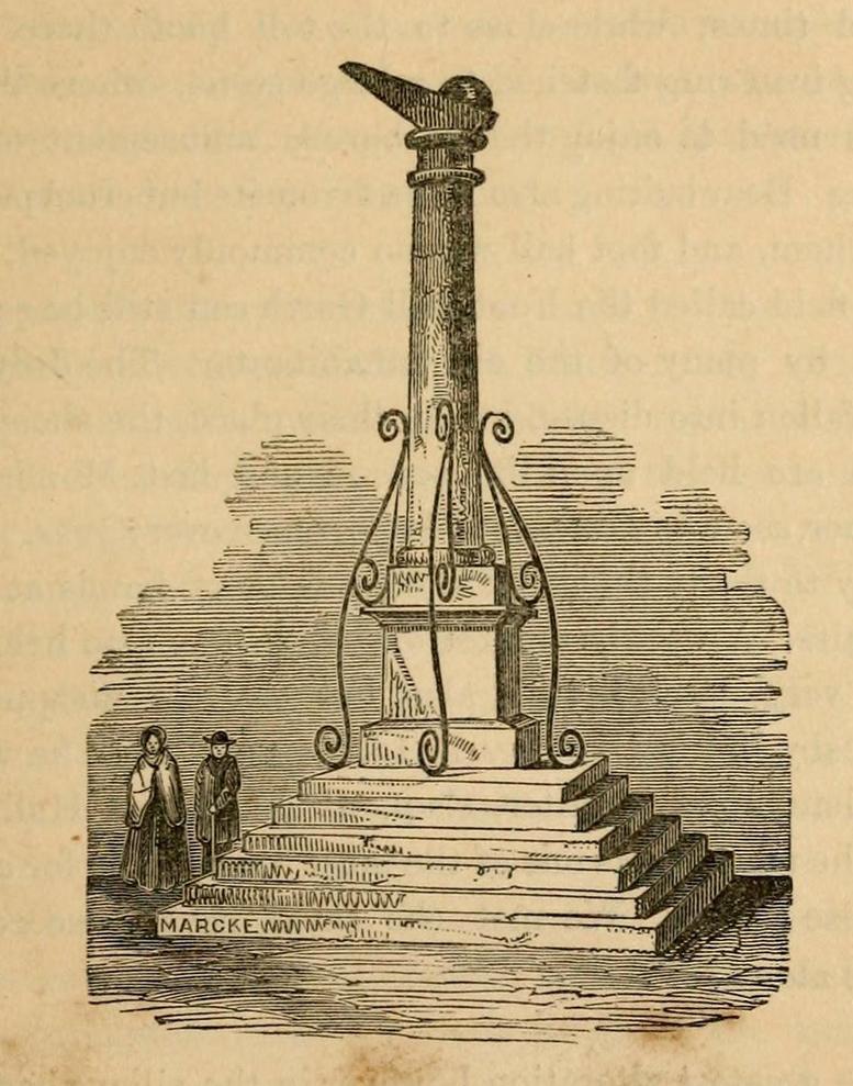
A Charter in the time of King John allowed for markets to be held in Harewood from 1209 CE onwards, “on the first day of July and the two following days, and also to hold one market there every week on the Monday.”  But whether or not a market cross was erected that far back, we don’t quite know.  Certainly, the edifice illustrated by John Jones (1859) in his standard work on Harewood didn’t date from such an early period!  It stood close to the old road junction to Wetherby in old Harewood village, “a little below the intersection of the roads, and about fifty yards higher up than the market house.” Jones told us:

Harewood Cross (Jones 1859)

“It stood upon a large stone pedestal, and was approached by a quadrangular flight of seven steps, very broad, where the neighbouring farmers used to stand, and dispose of their butter, fowls, eggs, &c.  It was re-erected, AD 1703, by John Boulter, Esq., and in the year 1804, when the road was lowered, it was taken down and destroyed.  This is to be regretted, it might have been re-erected in another situation, if that was inconvenient, and would have been in the present day, not only an ornament to the village but a relic of the past, of which the villagers might have been justly proud.  On the top of this cross there was a knur and spell, a game for which the village was celebrated in old times, while close to the toll booth there was a strong iron ring fastened to a large stone, where the villagers used to enjoy the barbarous amusement of bull baiting.”

References:

  1. Bogg, Edmund, Lower Wharfeland, J. Sampson: York 1904.
  2. Jones, John, The History and Antiquities of Harewood, Simpkin Marshall: London 1859.
  3. Speight, Harry, Lower Wharfedale, Elliott Stock: London 1902.

© Paul BennettThe Northern Antiquarian

Cottingley Woods (3), Bingley, West Yorkshire

OS Grid-Reference – SE 09825 37861

Getting Here

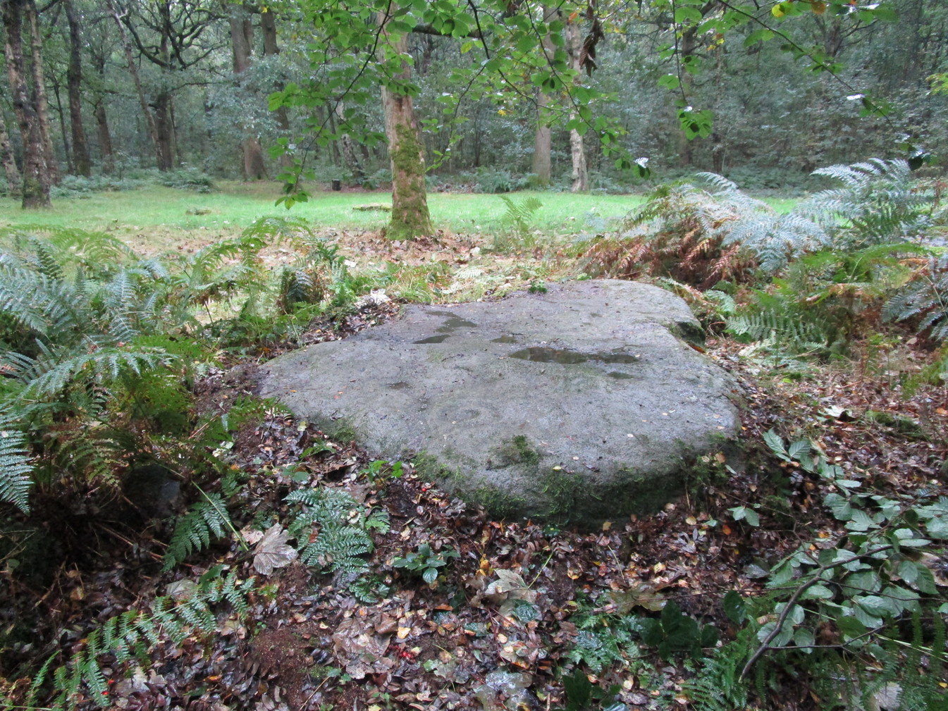
Follow the same directions as if you’re visiting the impressive Fairy Stone carving, then 3 yards east is the Cottingley 2 double cup-and-ring, keep walking past through trees for another 5-6 yards  where you’ll come across this reasonably large curved flat stone.  Y’ can’t really miss it

Archaeology & History

Cup, with ring faintly visible

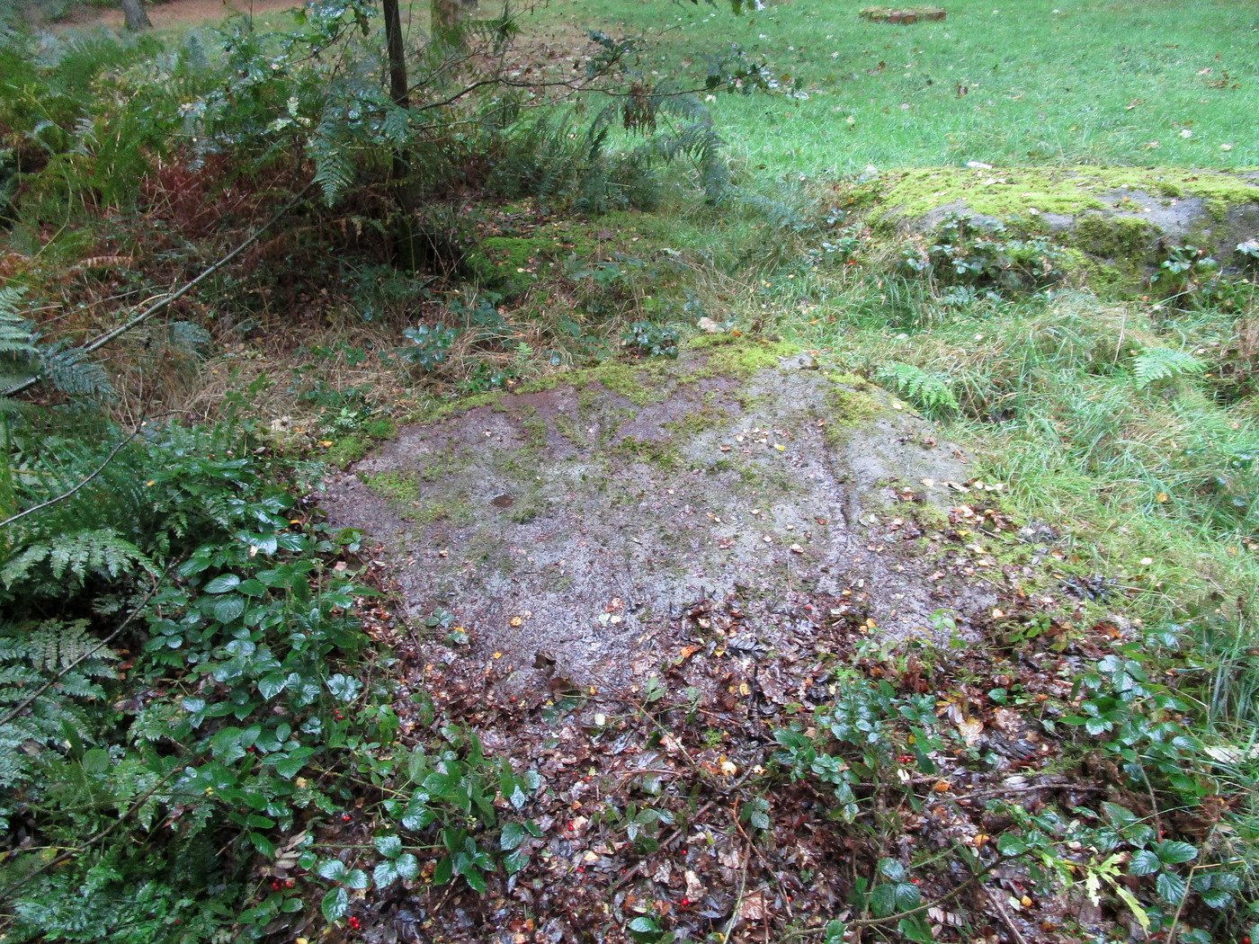
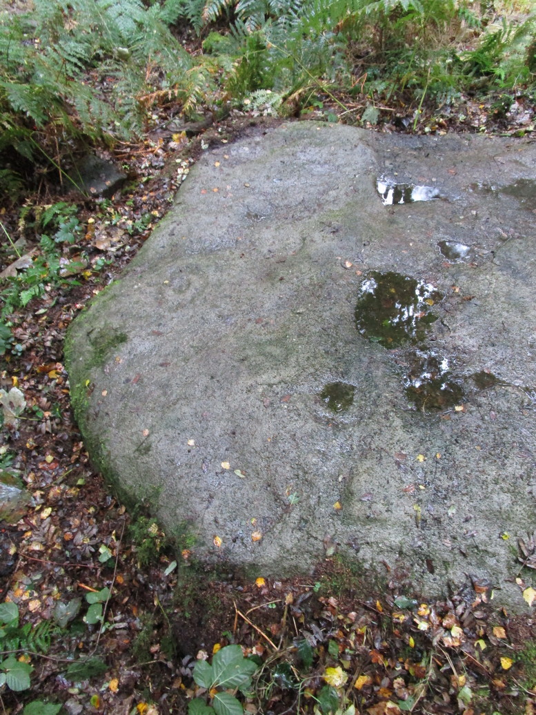
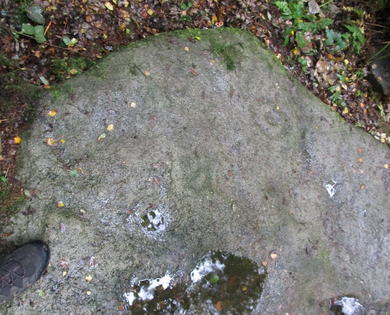
This was another carving in the small cluster by the Fairy Stone that I found on my visit here in the 1980s—but it’s a pretty innocuous one to be honest.  There’s a faded incomplete “ring” (not really visible on my photos due to pouring rain and very poor light when I was here) with a distinct cup-mark in the middle.  Several inches away from the cup-and-ring is a carved line that arcs around it creating an incomplete oval design; and what seems to be a single cup-mark is visible at the top of this oval.  Other marks on the stone are both natural as well as recent ‘scratches’.

Some elements of this carving—as with others in this petroglyph cluster—seems to be modern.  The cup-and-ring seems to be the real deal, but the ‘oval’ seems to have been added much more recently, perhaps by the scouts who play around in this part of the woods.

© Paul BennettThe Northern Antiquarian

Cottingley Woods (5), Bingley, West Yorkshire

Cup-and-Ring Stone:  OS Grid-Reference – SE 09843 37869

Getting Here

Cottingley Woods CR-5

Get yerself to the Fairy Stone, then walk east past the adjacent woodland carvings—numbers 2, 3 and 4—from where you should walk about another 10 yards east across the grass, keeping your eyes peeled for a large flat stone measuring about 6ft by 10ft just as you go back into the tree cover north-side.  You’ll find it.

Archaeology & History

This large carved rock is the easternmost known petroglyph in this small woodland cluster of five. (a sixth one can be found, but it’s several hundred yards east from here)  Consisting of two distinct cup-and-rings in relative proximity to each other on the northern section of the stone, this design—unlike others in this group—has a greater sense of stylistic authenticity to it.  Despite this, one of the two cup-and-rings seems to be a more recent addition to the rock, as close inspection shows peck marks that aren’t very well eroded as you’d expect on rock of this type if it was truly ancient.  The more faded cup-and-ring on its northwestern section looks to have a greater sense of age about it when we look at its erosion level….perhaps…

The 2 Cup & Rings
The 2 cup-and-rings

We have to take into consideration when looking at this carving and the others nearby that possess some quite peculiar design-elements, that this section of woodland is used extensively by boy scouts who do what boy scouts do in their teenage ventures: from making fires, climbing trees and, perhaps, scribing on stones if/when their elders aint looking.  It’s an important ingredient that has to be taken into consideration when looking at the more rash motifs hereby—this carving included.  The more faded cup-and-ring on this, however, may be the real deal.  And hopefully, next time I visit this site, She’ll not be dark and pouring with rain (much though I love such weather), so I’ll be able to get some better photos!

© Paul BennettThe Northern Antiquarian