St. Martin’s Well, Looe, Cornwall

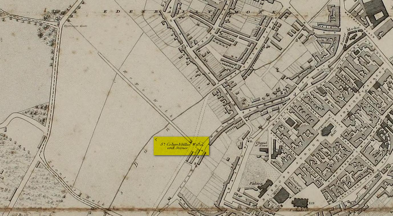
Holy Well:  OS Grid Reference – SX 2569 5407

Archaeology & History

St Martins Well on 1888 map

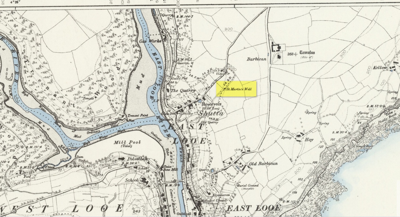
An early dedication to the St Martin of this well is from the 13th century, when referring to the “church of sanctus Martinus” in 1282, whose building is a half-mile to the north.  The well itself is located on the old parish boundary, on the footpath today known as the North View.

In earlier days, the water from this site came “flowing out of a rock” giving birth to St Martin’s stream (Quiller-Couch, 1894).  “It was much used by the villagers,” they wrote, “because of the excellent quality of the water; now it is covered in with an ordinary wooden lid, and is used to supply the town of Looe with water.”

Things hadn’t changed when Mr Lane-Davies (1970) visited the place, who was far from pleased at its status.  “The spring,” he told, “has been enclosed in an ugly shed and the water piped away.”

Despite this, when Meyrick (1982) came here, he thought the site had “a romantic and grotto-like air” to it, but he was equally displeased by barbed wire preventing folk from easily accessing the waters and “spoilt by a certain amount of rubbish.”  Unfortunately due to a dreadful accident here in 1993, when a young child fell into the waters and drowned, the site is now completely enclosed by railings to prevent this happening to anyone else.

References:

  1. Bond, Thomas, Topographical and Historical Sketches of the Boroughs of East and West Looe, J. Nichols: London 1823.
  2. Lane-Davies, A., Holy Wells of Cornwall, FOCS: St Ives 1970.
  3. Meyrick, J., A Pilgrims Guide to the Holy Wells of Cornwall, Falmouth 1982.
  4. Quiller-Couch, M. & L., Ancient and Holy Wells of Cornwall, C.J. Clark: London 1894.
  5. Straffon, Cheryl, Fentynyow Kernow: In Search of Cornwall’s Holy Wells, Meyn Mamvro: Penzance 1998.

© Paul BennettThe Northern Antiquarian

St. Columba’s Well, Derry, Co. Derry

Holy Well (destroyed):  OS Grid Reference – C 43117 16615

Archaeology & History

Long since gone, there are very few references to this once sacred site, which seemed to comprise of three sacred wells next to each other, each with its own formal dedication.  This would have made it one fuck of an important place in early- and pre-christian times.  But even when Thomas Colby (1837) and his mates surveyed the area, it seems like it was on its last legs.  He told that:

Site on Colby’s 1837 map

“As connected with the ancient history of Derry the sacred springs, called St. Columb’s Wells, claim some notice in this place.  They are, or rather were, three in number — for one has been dried up, or diverted from its original locality — and are situated near the Roman Catholic chapel, outside the wall.  It appears from the Irish annals that each of these wells had its peculiar name, one being called Tobar Adamnam, another Tobar Martain, and the third Tobar Colum — but the two former names are now quite forgotten, and the springs are popularly called St. Columb’s Wells.  They are regarded with much superstitious veneration by the Roman Catholic peasantry, but no celebration of St. Columb’s festival is now held at them.”

The wells were found very close to St. Columba’s bullaun stone, which possessed its own healing abilities.  The two sites had symbiotic ceremonial relationships with each other, doubtless performed in bygone centuries on St. Columba’s old festival date of June 9.

References:

  1. Colby, Thomas, Ordnance Survey of the County of Londonderry, HMG: Dublin 1837.
  2. Doherty, William, Derry Columbkille, Brown & Nolan: Dublin 1899.

© Paul BennettThe Northern Antiquarian