Montalt, Dunning, Perthshire

Cup-Marked Stone:  OS Grid Reference – NO 06 13

Also Known as:

  1. Canmore ID 26675
  2. Mount Alt Farm

Archaeology & History

Montalt’s curious cup-marked stone

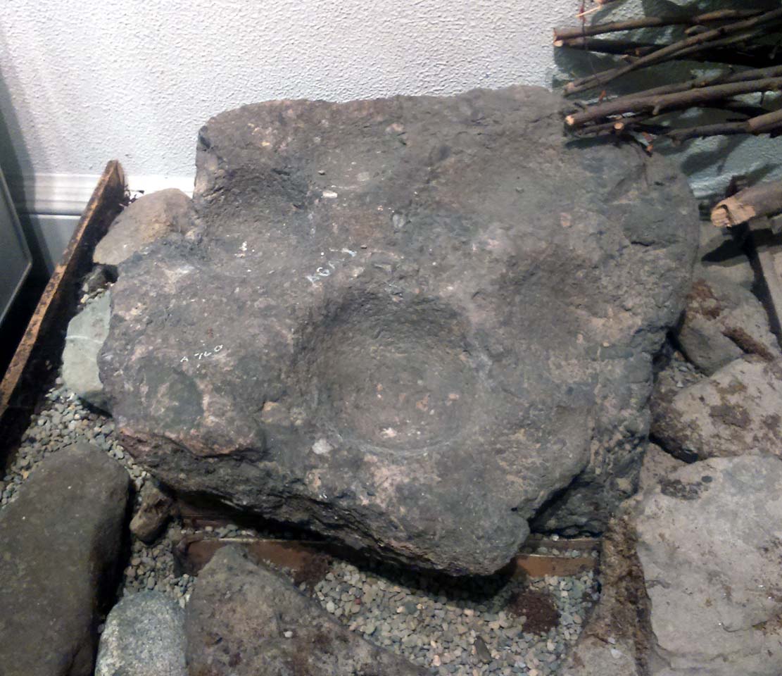
This is a curious stone and may not be the type of ‘cup-marked’ rock we’re used to.  Maybe… It is presently housed in Stirling’s Smith Art Gallery & Museum, where a small note tells that is was originally found “on the top of the Ochils, near Mount Alt Farm, Path of Condie in 1893.”  The stone was found at the same time, and adjacent to, a prehistoric collared urn—which implies it had an association with a cairn or cist, or burial site of some sort (which isn’t uncommon).  However, the exact location of its original whereabouts has been forgotten.

Broken off from a larger piece of stone, the remaining piece of rock has six cup-markings cut into it, between one and three inches across.  The smallest cup is what we might call a ‘normal’ size, but the rest of them get increasingly large and may have been more functional than purely mythic in nature.  In a small note attached to the stone in the Museum, they add the interesting note that,

“There are…indications that in some places they may be related to transhumance: the practice of moving sheep, cattle and goats to higher pastures in the summer, where they may have been used to mark routes or sources of water.”

They may indeed – amongst a variety of other things too.  But the suggested relationship with cattle occurs in stones found near Haworth, West Yorkshire, where large man-affected carved ‘cups’ such as the ones here, were known to be filled with milk at specific times of Nature’s calendrical rhythms, for the spirits of the place to give good fortune to the farmer and local people.  We know of one instance where this practice still occurs and goes back generations in the same family.  Examples of this animistic practice have also been found in the Scottish Highlands.

© Paul BennettThe Northern Antiquarian


Pitcur Souterrain (3) – Carving 2, Kettins, Perthshire

Cup-and-Ring Stone:  OS Grid Reference – NO 25290 37378 

Getting Here

MacRitchie’s 1900 groundplan

Follow the same directions as if you’re visiting the Pitcur (3) souterrain.  Once here, you’re standing at the southernmost uncovered section of the monument, where one uncovered passageway bends round and meets up with another open section (“m” on MacRitchie’s plan, right).  From here, just to your right, a single large roofing stone joins one side of the open passageway with the other, enabling you to walk across it—and the stone you’d walk across has these very faint carvings on it.

Archaeology & History

Shortly before darkfall a few weeks ago, Nina Harris, Frank Mercer, Paul Hornby and I were just about ready to pack-up and leave the brilliant Pitcur souterrain with its underground chambers and various petroglyphs when, as I walked along one of the open passages beneath one of the monument’s many large capstones, my fingers gently stroked the rock above me, almost unconsciously.
First photo of the carving (by Paul Hornby)

“Was that a faint cup-mark?” I asked myself, fondling gently the smooth stone once more.

Standing eight-feet above me in the long grasses, Mr Hornby was gazing around in his usual way.

“Paul – can you see from up there if this is a cup-marking I’m feeling here?”

Walking onto the edge of the rock itself, he proclaimed, “it looks like it!”

It was indeed!  And during the remaining 30 minutes of daylight we found that the single cup-mark had a number of companions on the same stone.  With multiple rings!  Twas another good day out.

Carving when wet (photo, Frank Mercer)
Looking straight down

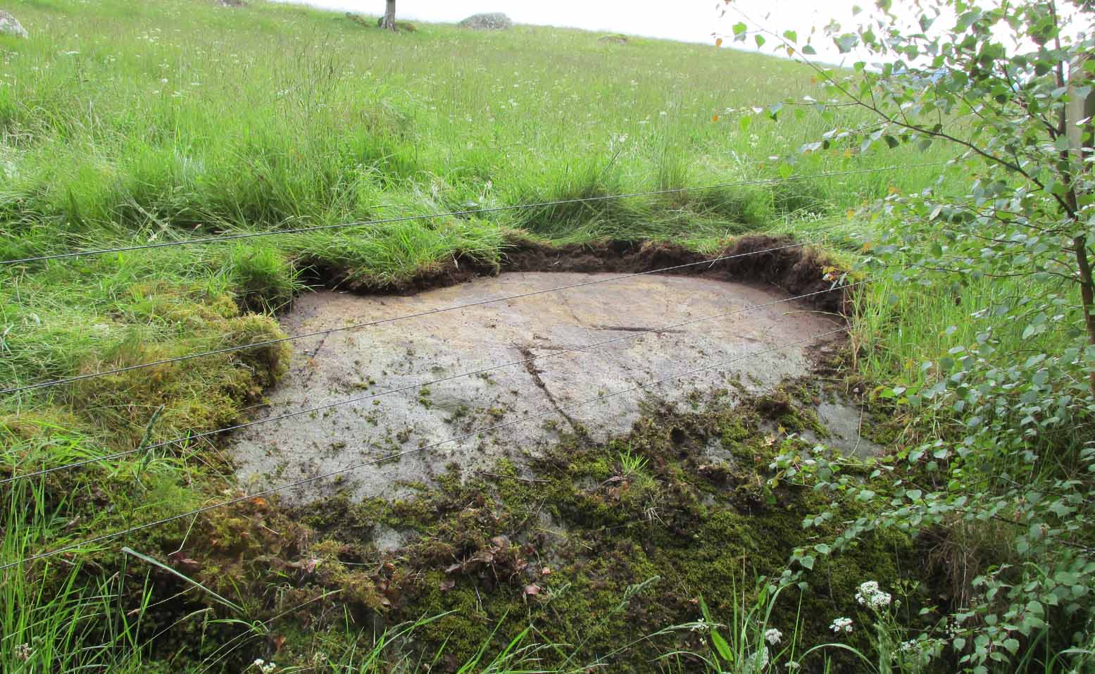
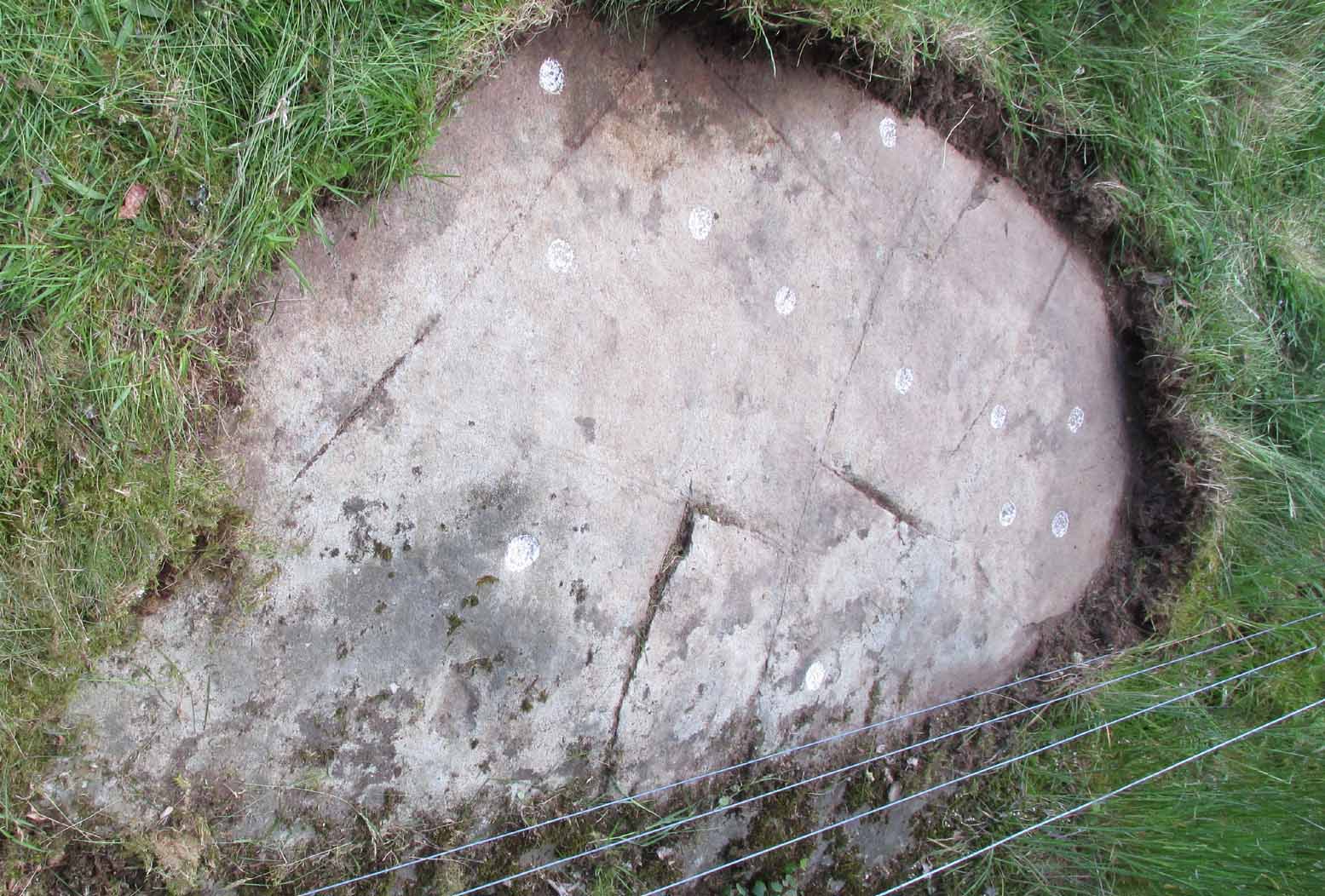
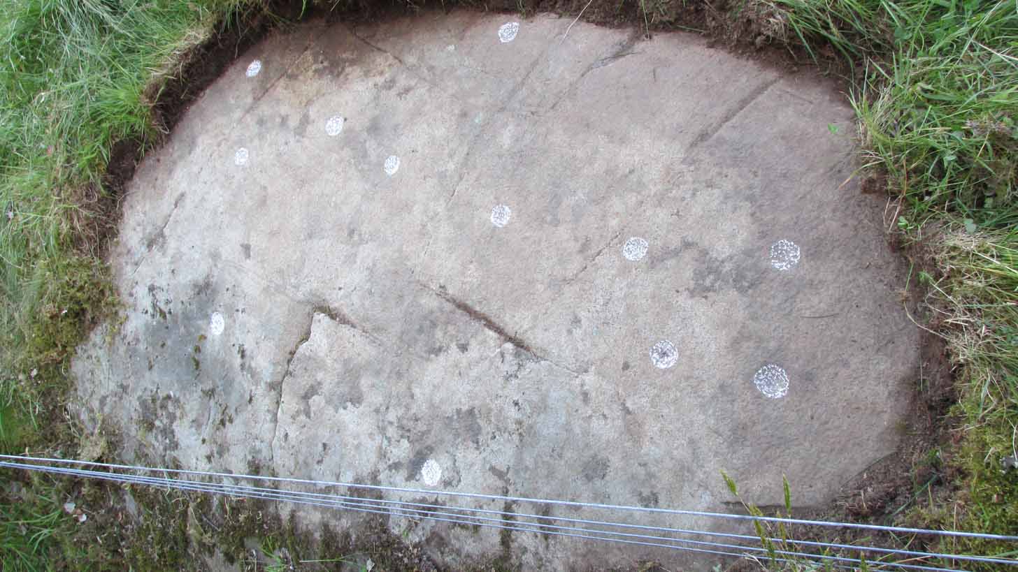
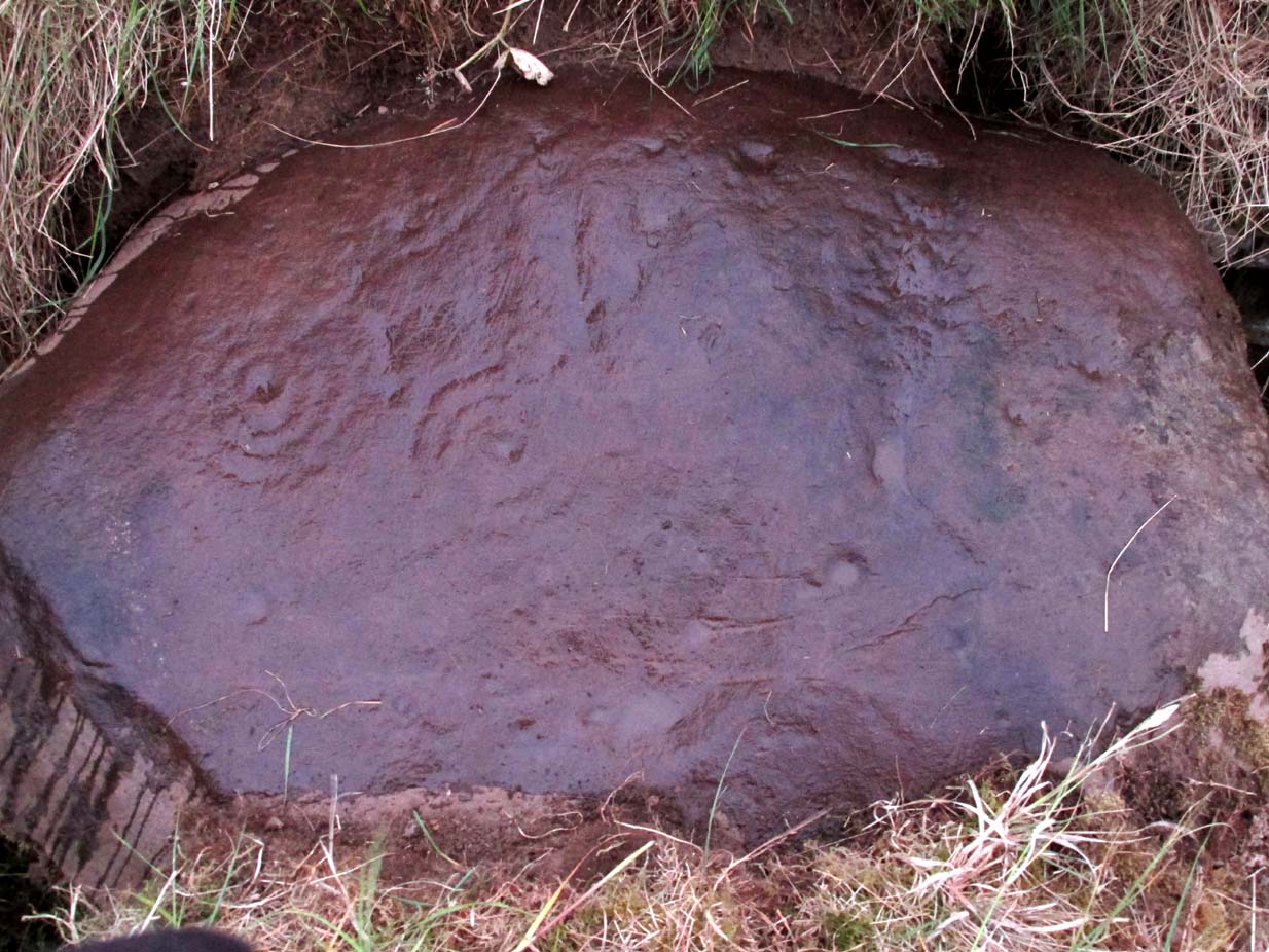
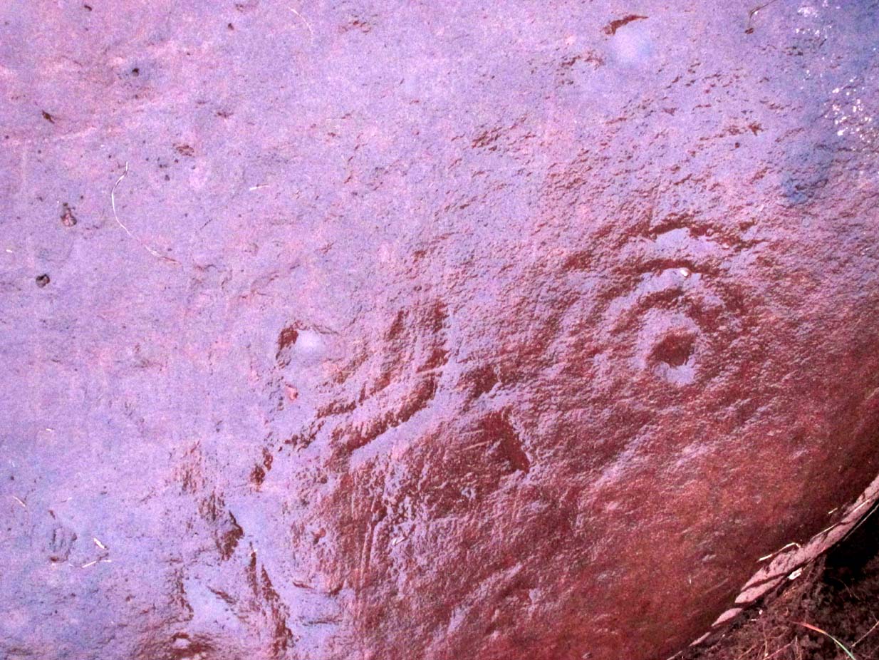
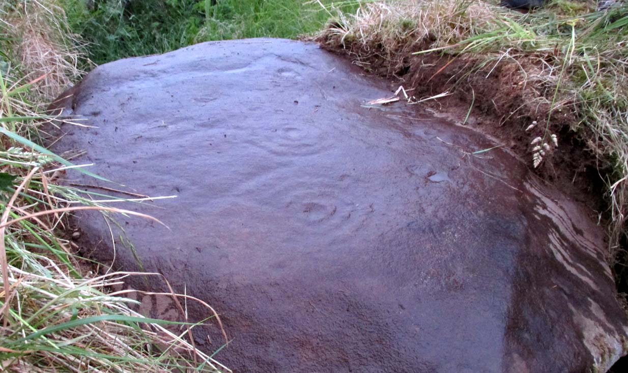
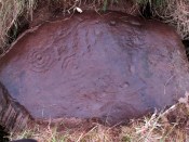
Previously unrecorded, this large rounded stone just about covers the space across from one side of the souterrain passage to the other, measuring roughly 6 feet by 4 feet, with its longer axis positioned roughly east-west.  It was on the westernmost edge of the stone where I located the first single cup-mark, close to the edge, but there are perhaps 12  others: three of which, as the photos show, are in a straight line from near the west-side of the stone to the upper-middle.  On its far eastern edge, another cup-mark is clearly evident; whilst on its southernmost edge is another.  It’s the middle and eastern section of the rock that grabs most of the attention.  Here we found the very faint rings becoming clearer and clearer as the dust of ages was carefully swept away, eventually giving us vision of carvings that were, in all likelihood, first pecked into the rock in the neolithic period, 4-6000 years ago.
Close-up of the 2 triple-rings
Cup-and-rings at an angle

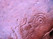
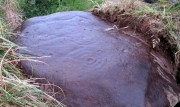
As we can see, two faint triple-rings exist, each with lines running in/out of them.  The eastern concentric system is just about complete and has a small cup-mark on the NW edge of the outer ring.  A line that runs out from the central cup meets another carved line which, from some angles, appears to look almost like a bowl beneath the triple rings—but this is unclear.  The other triple cup-and-ring, slightly closer to the middle of the stone, has an incomplete outer ring, with evidence of another line running outwards from its central cup. There seems to be a slightly-pecked outline of a single cup-and-ring on the north side of the stone, but this is also unclear.

In truth we need to revisit the site soon, when the lighting gives us a clear idea of what we actually found, because our visit here was cut short by encroaching night and a grey cloudy evening—which are not the best conditions for isolating new petroglyphs!

At least six other petroglyphs exist within the Pitcur Souterrain (3), with the one closest to this (Pitcur 3:3) also used as a roofing stone, covering the deep trench from one side to the other.  However, it would appear the petroglyphs on that stone were on its underside, as the erosion on it is negligible, away from the elements—unlike this one! Another capstone that was also turned over (Pitcur 3:4) was found to possess more cup-and-rings, again on the underside of the stone.

This carving was probably executed 2-3000 years before the souterrain came into existence, and as a result of this we’re unsure as to the original location of the stone—but it was probably close by.  It might have originally been a carved standing stone, re-used here; or been part of a lost prehistoric tomb; or even a loose earthfast rock (though this is the least likely of the three).  Why it was used, and whether it retained any sense of the original meaning when it was re-positioned into the present construction, is a relevant question.  In all likelihood some of the original mythic element—or a morphed development of its original animistic narrative–was probably a functional ingredient of importance to the souterrain builders, 2-3000 years after the carving had been made.

A superb site!

References:

  1. Wainwright, F T., The Souterrains of Southern Pictland, RKP: London 1963.

Acknowledgements:  This site profile would not have been made possible were it not for the huge help of Nina Harris, Frank Mercer & Paul Hornby.  Huge thanks to you all, both for the excursion and use of your photos in this site profile. 🙂

© Paul BennettThe Northern Antiquarian

Moonzie, Cupar, Fife

Cup-Marked Stone:  OS Grid Reference – NO 34 18

Archaeology & History

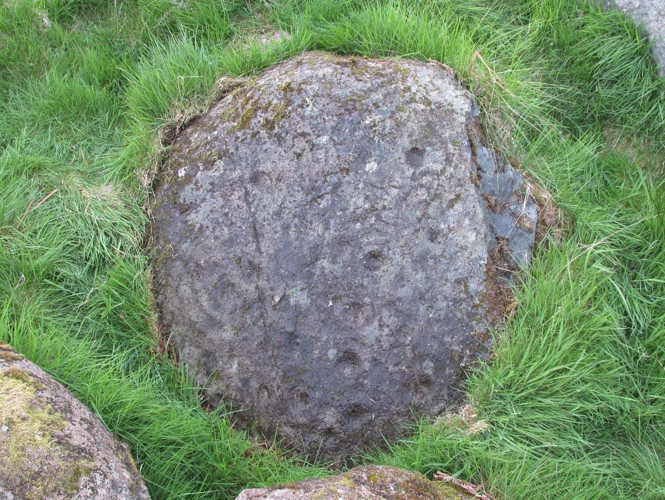
There are no previous literary references to this small portable cup-marked rock, relocated recently by Paul Hornby during one of his various antiquarian meanderings.  Found in association with a much later architectural structure, it position in the landscape (near the top of a hill) would suggest that is was most probably located in a prehistoric cairn in earlier days—all traces of which have vanished.  But we cannot be sure of this and I’m merely speculating.

Moonzie cup-marked stone

Site of carving

The thin, fairly flat stone is about 18 inches across, by a foot wide, and consists of what seems to be 10 cup-marks (no rings, sadly), of which six of them are the real deal.  No other carvings officially exist anywhere near it and its isolation is an enigma… such as it is with petroglyphs…

Due to the fact that the stone can literally be picked up and moved by anyone, we’re hoping that it can be seen by local archaeologists and perhaps placed into a museum for safe-keeping.

© Paul BennettThe Northern Antiquarian 

Kalemouth Carving, Eckford, Roxburghshire

Cup-and-Ring Stone:  OS Grid Reference – NT 714 275

Archaeology & History

Kalemouth carving (after R.W.B. Morris 1981)

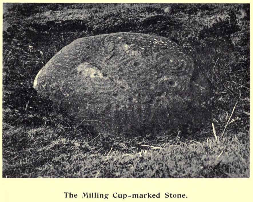
Now housed in the National Museum of Antiquities in Edinburgh, this little-known petroglyph was rediscovered in 1957 by a Mr G.F. Ritchie, not far from the once-large Kalemouth neolithic tomb.  It’s a carving that seems to be quite isolated (no others are known about in the immediate area), comprising of an incomplete four-ringed design which, in all probability, is a stray rock that came out of a nearby prehistoric cairn—although we don’t know this for sure.

The carving was described in Ron Morris’ (1981) petroglyph survey, where he told us that,

“In the field “not far from the cairn” (just E of the farm), was a small convex gritstone boulder 25cm by 15cm by 15cm (¾ft  x ½ft x ½ft). On its fairly smooth surface is:

a cup-and-four-rings with 2 parallel grooves from the inner ring (which is incomplete) through the others (which are gapped)—the outer two being now incomplete also—a form of ‘keyhole pattern’.”

A near-identical carving on a similiar-shaped portable stone can be seen in Galashiels museum, whose history has seemingly been forgotten.

References:

  1. Morris, Ronald W.B., “The cup-and-ring marks and similar sculptures of Scotland: a survey of the southern Counties – part 2,” in Proceedings of the Society of Antiquaries, Scotland, volume 100, 1967.
  2. Morris, Ronald W.B., “The Cup-and-Ring and Similar Early Sculptures of Scotland; Part 2 – The Rest of Scotland except Kintyre,” in Transactions of the Ancient Monuments Society, volume 16, 1969.
  3. Morris, Ronald W.B., The Prehistoric Rock Art of Southern Scotland, BAR: Oxford 1981.

© Paul BennettThe Northern Antiquarian

Gawk Hall Stone, Middleton Moor, North Yorkshire

Cup-Marked Stone:  OS Grid Reference – SE 13004 53097

Getting Here

Gawk Hall Stone

Probably the easiest route to find this is via the Roman Road from Blubberhouses. Go up Cooper Lane a few hundred yards, turning right (west) on the footpath past the Manor House and onto the moor. Walk along the footpath until you hit the dead straight Roman Road and walk 1⅓ miles (past the cup-marked Eagle Stone) until you meet another footpath on your right veering over the haunted Sug Marsh away from the straight road. This takes you to Gawk Hill Gate ½-mile away. Go over the wall here and walk for 350 yards where several stones are just yards to the left of the path. You’re there!

Archaeology & History

…and again!

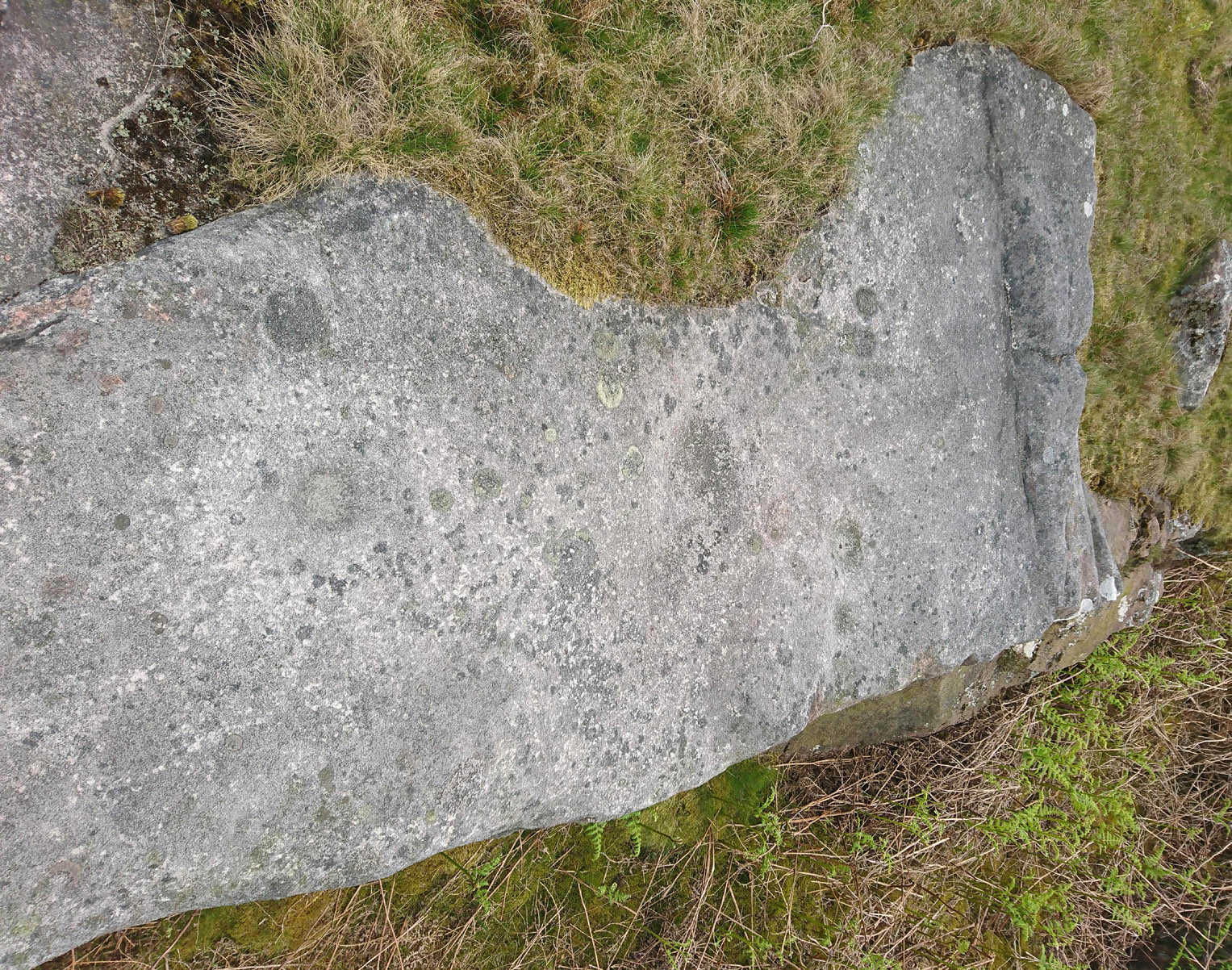
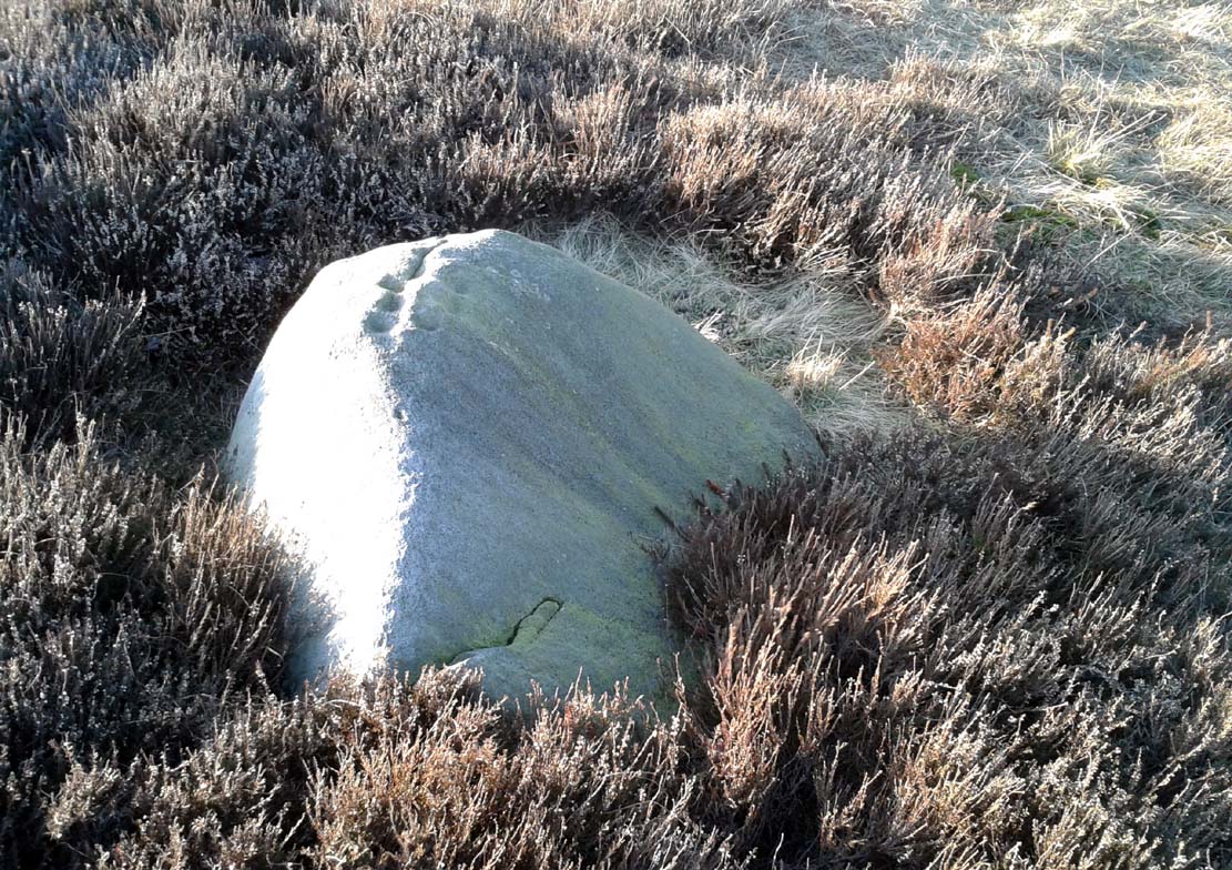
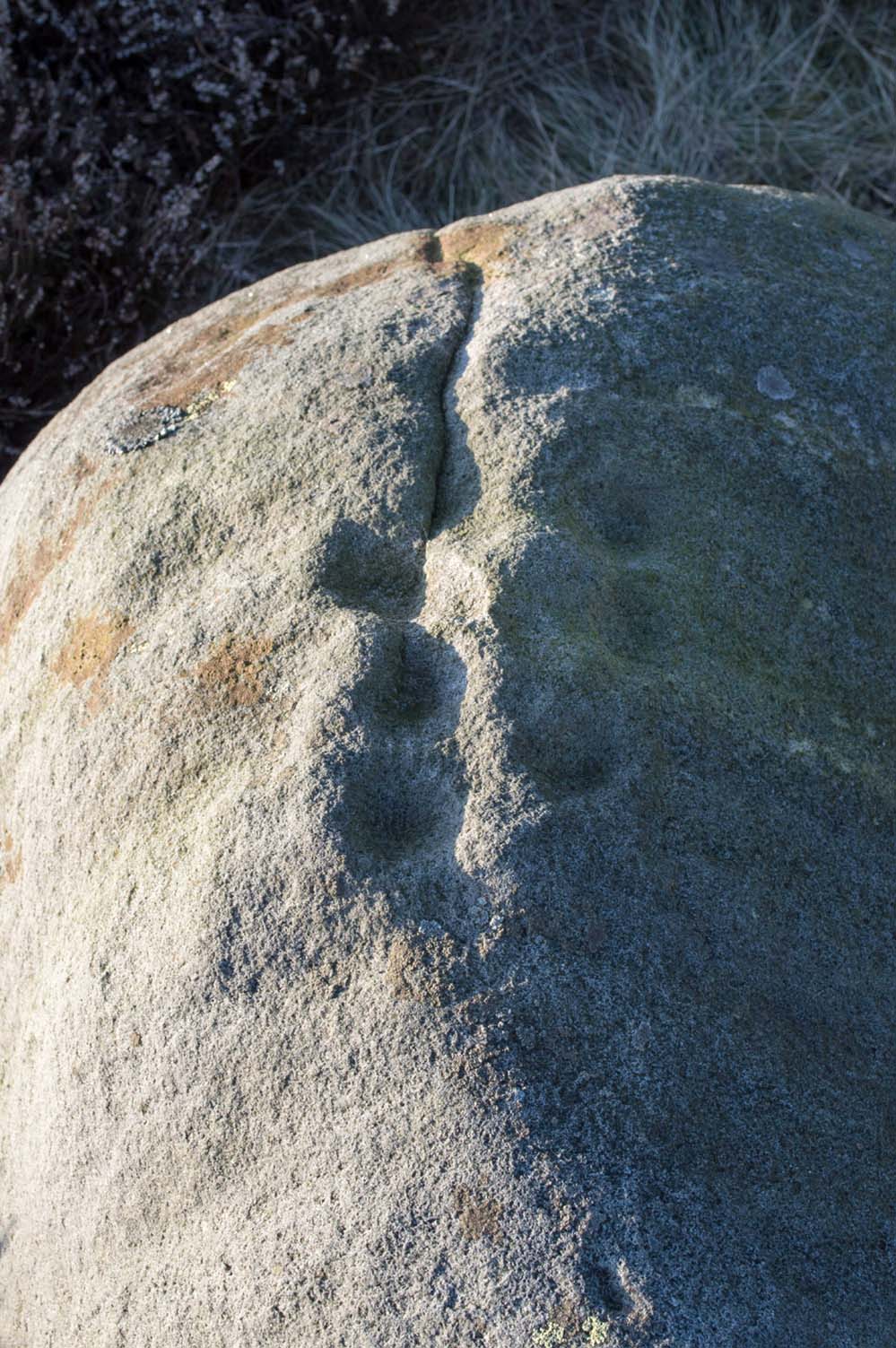
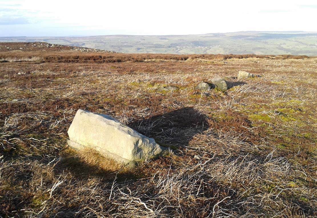
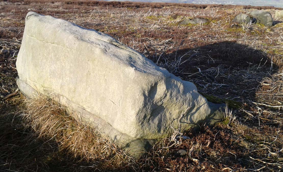
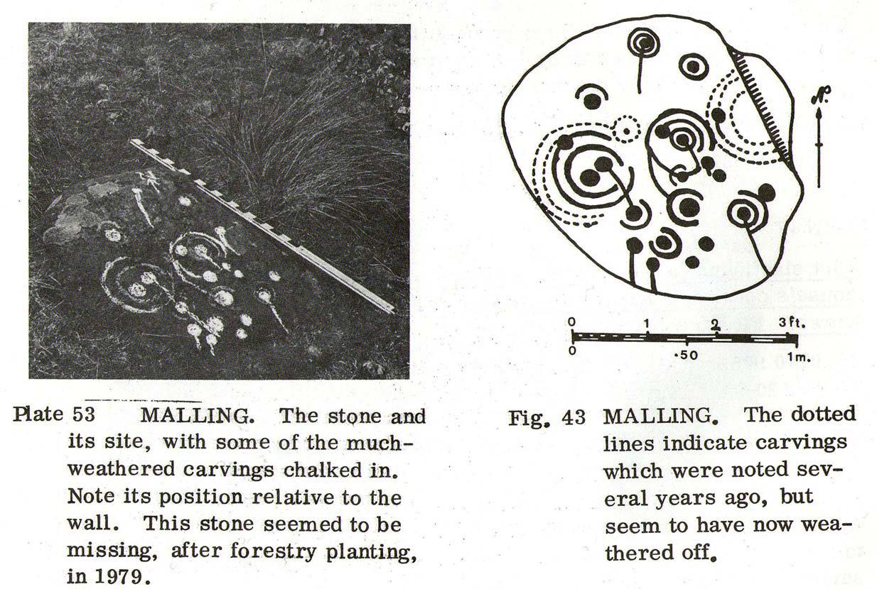
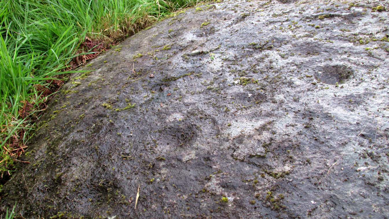
Depending on the age of the old path by which this carving lies, it may have represented a marker of the ancient route.  It lives in relative isolation from other petroglyphs a mile or so further down the moorland slopes and is probably one only for the purists amongst you.  A smoothed (female) medium-sized rock, about 2 yards by 1 yard across, possesses at least two simple cup-marks on its upper western surface. A third cup seems evident between the main two cups, with a carved line running some 10 inches towards the eastern side of the stone.  What may be several other cup-marks can be seen on the stone, but the day was overcast when we came here and so we’re unsure as to whether they’re natural or man-made.

Acknowledgements:  Many thanks to James Elkington and his little compatriot Mackenzie, who accompanied us to this and other sites nearby.

© Paul BennettThe Northern Antiquarian

Heygate Stone, Baildon, West Yorkshire

Cup-and-Ring Stone:  OS Grid Reference – SE 15942 40187

Archaeology & History

Heygate Stone

This excellent cup-and-ring marked petroglyph was found fortuitously in September 2001 by the land-owner at Near Hey Gate field to the northeast of Baildon village.  He was clearing out remains of some old walling in the field and, adjacent, a rock that was protruding out of the ground got turned over.  Underneath it he noticed a series of very well-preserved cups and rings in a cluster near one part of the rock.  It was a bittova beauty to be honest!

Thankfully due to the subsequent efforts of local rock art students Mike Short and Keith Boughey, it was later re-housed in the Brackenhall Centre at the edge of Shipley Glen.

Enhanced rendition of Boughey’s Heygate Stone rubbing
Computer-enhanced image of the carving

The stone itself was once larger than it now is and may have had additional carved elements on it, but the other portion that had broken off wasn’t located when it was first dug out of the ground.  This may mean that it was moved here from another location, which would have been somewhere close by.  Many other petroglyphs exist in and around the Baildon district.As we can see in the images here, two very well-defined double cup-and rings have clusters of smaller singular cup-and-rings around their edges.  A single cup-mark was etched below the largest of the double-ring carving, and what seems like a carved straight line emerges from the largest of the single cup-and-ring.

References:

  1. Griffiths, Kathie, “Historic Stone Back Home on Moors,” in Telegraph & Argus, 11 November, 2006.
  2. Short, Mike, “The Heygate Stone,” on Megalithic Portal, 21 November, 2006.

Acknowledgements:  Big thanks to Mike Short for his info and to Keith Boughey whose rubbing I’ve touched-up and used in the site profile.

© Paul BennettThe Northern Antiquarian

Castleton (2), Cowie, Stirling, Stirlingshire

Cup-and-Ring Stone:  OS Grid Reference – NS 85494 88272

Also Known as:

  1. Castleton 9 (van Hoek)

Getting Here

Castleton 2 carving, Airth

If you’re travelling from Stirling or Bannockburn, take the B9124 east to Cowie (and past it) for 3¾ miles (6km), turning left at the small crossroads; or if you’re coming from Airth, the same B9124 road west for just about 3 miles, turning right at the same minor crossroads up the long straight road. Drive to the dead-end of the road and park up, then walk back up the road 350 yards to the small copse of trees on your left.  Therein, some 50 yards or so, zigzag about!

Archaeology & History

Petroglyphs can be troublesome things at the best of time: not only in their ever-elusive root meanings, but even their appearance is troublesome!  This example to the east of Cowie in the incredible Castleton complex is one such case.  It is undoubtedly a multi-period carving, probably first started in the neolithic period, added onto in the Bronze Age, and maybe even finished in the early christian period.  You’ll see why!

It’s been described several times in the past, with Maarten van Hoek (1996) telling how it was rediscovered,

“by Mrs Margaret Morris in 1986 in the birch-coppice at Castleton Wood. A fragment of outcrop rock with a distinct cup-and-three-rings, rather oval-shaped like others in the area.”

The main cup-and-3-rings (photo, Paul Hornby)

But as our own team found out, there’s more to it than that.  Like many of the Castleton carvings, vital elements have been missed in the previous archaeological assessments.  But it’s an easy thing to do.  The carved design here almost ebbs and flows with daylight, shadows, changes in weather, bringing out what aboriginal and traditional peoples have always told us about rock itself, i.e., it’s alive, with qualities and virtues that can and do befuddle even that great domain of ‘objectivity’—itself an emergent construct of an entirely subjective creature (humans).  But that’s what petroglyphs do!—whether they are part of a living tradition, or lost in our striving modernity, exhibiting once more that implicit terrain of animism.  And this carving exemplifies it very clearly.

The primary visual design is the odd triple-ring, which isn’t quite as clear-cut as the earlier descriptions would have you think.  In the drawing below by van Hoek (1996), three complete elliptical ‘rings’ are shown; whereas on its northern edge where the outer ring is closest to the rock edge, we find that the ‘ring’ has carved lines that run off and down the slope of the stone towards ground-level.  It also seems that from the inner second-ring, a natural scar in the rock has been heightened by pecking, creating an artificial carved line running from near the centre and ‘out’ of the three rings.  You can make this out in the accompanying photo, above.

van Hoek’s 1996 sketch
The more complete design

Additionally we found two very faint carved ‘eyes’ or trapezoids pecked onto the stone, obviously at a much earlier date than the notable triple-ring—which could almost be modern!  They would no doubt have excited the old archaeologist O.G.S. Crawford (1957), whose curious theory of petroglyphs was that they were images of some sort of Eye Goddess.  Archaeo’s can come out with some strange ideas sometimes…

Fainter still was another triple-ring—albeit incomplete—with what appears to be a very small central cup-mark, just below and between the two ‘eyes’.  It was first noticed by Paul Hornby when he was playing with the contrast settings on his camera, in the hope of getting clearer photos of any missing elements.

Very faint triple-ring, bottom-left of photo (photo by Paul Hornby)

“Can you see this?” he asked.  And although very faint indeed (on most days you can’t see it at all), it’s undoubtedly there: another multiple-ringer all but lost by the erosion of countless centuries, and older still than the ‘eyes’ above it.  In all the photos we took of this stone, from different angles in different weathers (about 100 in all), this very faint triple-ring can only be seen on a handful of images.  But it’s definitely there and you can see it faintly in the attached image (right) to the bottom-left.

A final note has to be made of a possible unfinished, large circular section with a cross carved into the natural feature of the stone, first noticed by Lisa Samson.  It’s uncertain whether this has been touched by human hands (are there any geologists reading?), but it’s something that we’re noticing increasingly at more and more petroglyph sites.  They’re not common, but it has to be said that we found two more man-made ‘crosses’ attached to multiple cup-and-rings near Killin just a few weeks ago.  Also, folklore tells us that not far from this Castleton cluster, a christian hermit once lived….

References:

  1. Crawford, O.G.S., The Eye Goddess, Phoenix House: London 1957.
  2. Morris, Ronald W.B., The Prehistoric Rock Art of Southern Scotland, BAR: Oxford 1981.
  3. van Hoek, M.A.M.,”Prehistoric Rock Art around Castleton Farm, Airth,” in Forth Naturalist & Historian, volume 19, 1996.

Acknowledgements:  Huge thanks as always to Nina Harris, Fraser & Lisa Harrick, Paul Hornby, Penny & Thea Sinclair, for their additional senses and input.

© Paul BennettThe Northern Antiquarian

Little Almscliffe, Stainburn, North Yorkshire

Cup-and-Ring Stone:  OS Grid Reference – SE 23242 52260

Also Known as:

  1. Little Almes Cliffe
  2. Little Almias Cliff Crag

Archaeology & History

Little Almscliffe Crag (photo by James Elkington)

The crags of Little Almscliffe are today peppered with many modern carvings, such as are found on many of our northern rock outcrops.  Yet upon its vertical eastern face is a much more ancient petroglyph – and one that seems to have been rediscovered in the middle of the 20th century.  When the great northern antiquarian William Grainge (1871) visited and wrote of this place, he told us that, “the top of the main rock bears…rock basins and channels, which point it out as having been a cairn or fire-station in the Druidic days; there are also two pyramidal rocks with indented and fluted summits on the western side of the large rock” – but he said nothing of any prehistoric carvings. Curiously , neither the great historian Harry Speight or Edmund Bogg saw anything here either.

Stuart Feather & Joe Davies here, c.1955
Cup&Ring, left of ‘door’ (photo by James Elkington)

This singular cup-and-ring design seems to have been reported first in E.S. Wood’s (1952) lengthy essay on the prehistory of Nidderdale. It was visited subsequently by the lads from Bradford’s Cartwight Hall Archaeology Group a few years later; and in the old photo here (right) you can see our northern petroglyph explorer Stuart Feather (with the pipe) and Joe Davis looking at the design.  In more recent times, Boughey & Vickerman (2003) added it in their survey of, telling briefly as usual:

“On sheltered E face of main crag above a cut-out hollow like a doorway is a cup with a ring; the top surface of the rock is very weathered and may have had carvings, including a cupless ring.”

Close up of design

Indeed… although the carving is to the left-side of the large hollow and not above it.  Scattered across the topmost sections of the Little Almscliffe themselves are a number of weather-worn cups and bowls, some of which may have authentic Bronze age pedigree, but the erosion has taken its toll on them and it’s difficult to say with any certainty these days.  But it’s important to remember that even Nature’s ‘bowls’ on rocks was deemed to have importance in traditional cultures: the most common motif being that rain-water gathered in them possessed curative properties.

References:

  1. Bennett, Paul, The Old Stones of Elmet, Capall Bann: Milverton 2001.
  2. Bogg, Edmund, From Eden Vale to the Plains of York, James Miles: Leeds 1895.
  3. Bogg, Edmund, Higher Wharfeland, James Miles: Leeds 1904
  4. Cowling, E.T., Rombald’s Way, William Walker: Otley 1946.
  5. Grainge, William, History & Topography of Harrogate and the Forest of Knaresborough, J.R. Smith: London 1871.
  6. Parkinson, Thomas, Lays and Leaves of the Forest, Kent & Co.: London 1882.

Acknowledgements:  Huge thanks to James Elkington for use of his fine photos on this site.

© Paul BennettThe Northern Antiquarian
Sarah’s Stone, Borgie, Tongue, Sutherland

Cup-Marked Stone: OS Grid Reference – NC 66791 60343

Getting Here

Sarah, on top of her stone!

There’s no simple way to reach here – but the landscape alone makes the journey worthwhile.  Roughly halfway along the A836 between Bettyhill and Tongue, take the minor road up to Borgie, past the recently revamped Borgie Hotel for half-a-mile (0.8 km) where, on your left, is Deepburn Cottage.  On the other side of the road, on your left, go through the gate and follow the path uphill. It curves up and to the right where you hit some overgrown walling.  Walk up and along this wall for nearly half-a-mile (it’ll feel like twice that!) and as you approach the crystal blue waters of Lochan a’ Chaorruin, veer right and start walking up the small Torrisdale Burn.  Less than 200 yards along, you’ll see the large isolated rock on your left.

Archaeology & History

Cupmarks top & bottom
Single prominent cupmark

Previously unrecorded, this large boulder sitting above the edge of Torrisdale Burn was rediscovered by Sarah MacLean—hence its name—and has between five and nine cup-marks etched, primarily, on the topmost ridge of the rock.  Its eastern steep-sloping face also has a cup-mark near the middle top-half of the stone.  Apart from three of them (visible in the photos), the other cups aren’t very distinct and unless the lighting is right, you won’t see much here.  This one is probably gonna be of little interest unless you’re a real hardcore petroglyph freak.

Further up this tiny winding glen we reach the faint cup-marked Thorrisdail Stone and a little further on is the impressive ritual site of Allt Thorrisdail.

© Paul BennettThe Northern Antiquarian

Castleton (2b), Cowie, Stirlingshire

Cup-and-Ring Stone:  OS Grid Reference – NS 85520 88214

Getting Here

Castleton (2) carving

If you’re coming via Castleton Farm, at the back of the farm go through the gate on the right, by the corner of the field and walk along the line of the wall for 200 yards  northwest until you approach the small copse of trees ahead of you.  Just before the trees, instead, walk up the slope, SW, to the other small copse, and about 15 yards along the line of trees, go into them.  Keep your eyes peeled on the upwards sloping ground where a gap in the greenery shows you the stone in question!

Archaeology & History

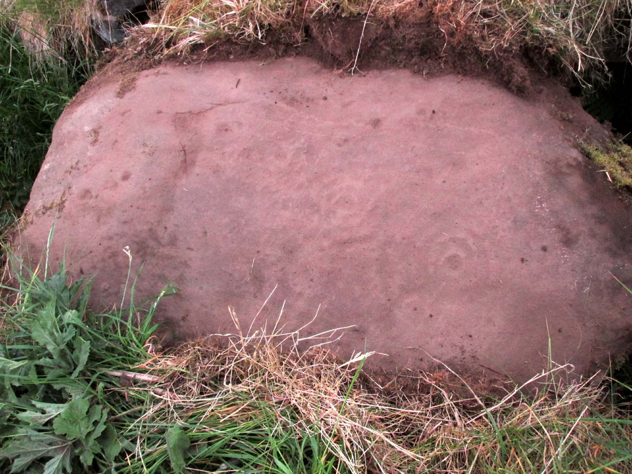
This is an odd one.  Amidst the array of truly ancient and well-eroded multiple cup-and-ring stones in the incredible Castleton complex, this small design on the northeast slope away from the main cluster, has a distinctly different appearance about it when we compare it to the others along the ridge.  It’s not been done by the same person or people who carved the more ornate designs close by.  Indeed, it seems that it wasn’t even done at the same period but has a history that is much more recent.

The carving, as you can see in the photos, has a somewhat scruffy look about it when compared to the more usual designs.  If it’s prehistoric, it has the hallmarks of being done by someone with rock art dyslexia!  My own view is that it’s a pretty recent carving. It’s possible, perhaps, that it may have been executed by a medieval christian priest who lived a short distance to the east and whose cross markings are evident on at least one of the other cup-and-rings hereby.  But the carving might be even more recent: perhaps 19th Century in origin.  It just doesn’t have that air of authenticity about it, as any seasoned petroglyph officionado would tell you.  And we have to bear in mind that this was the site of a quarry in the 18th and 19th century, so the carving might have been done at that time by one of the workers to mimic the very ancient and faded designs close by.  Anyhow…

The design consists of two distinct and deeply carved rings around a central raised point, in which it looks as if someone started to create a cup-mark, but never finished the job!  The same can be said of an third outer-ring, whose faint outline is clearly visible in decent light, but which was started but never finished.  Make of it what you will.  When we first found this carving in 2019, someone had been up and already peeled back the turf (“there were a group o’ folk,” the farmer told me), thankfully showing the carving in its crude glory.  The Canmore website informs us that the stone was first unfurled by George Currie in 2006, who said that it was little more than “a ring surrounded by a central boss”—but there’s clearly more to it than that and I wonder if this is actually the same carving that Mr Currie found.

Note: The name of this and the other carvings in the Castleton complex need completely re-designating into an accurate order, as they’ve been defined and redefined by various authors and groups over the years, leaving them in a disorganized haphazard mess.

© Paul BennettThe Northern Antiquarian