To search for any sites in the northern counties of England (previously known as Brigantia), click on the list of relevant counties, below. Please note that not all these english counties were truly in Brigantia, but they came close to its southern edges; and as parts of them tickle the edges of the southern Pennines, I thought they should be included. Hope that’s OK with everyone!
From the Askwith Moor Road parking spot, head across the road and take the directions to the Woman Stone carving about 510 yards (467m) across the moors to the west. From here, look straight down the slope and head towards the largest boulder at the bottom, 20-30 yards away. About 10-20 yards to the right of this, zigzag about in the vegetation until you find the small stone amidst the bracken. You’ll find it!
Archaeology & History
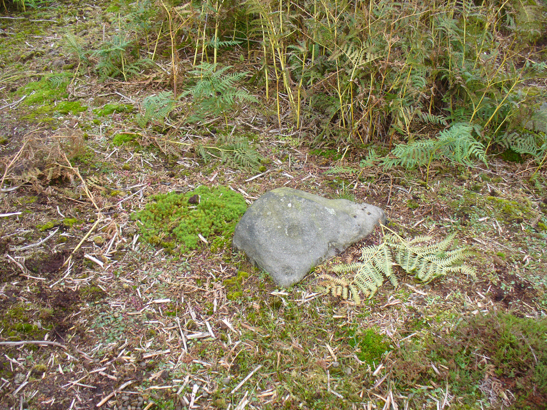
This small stone, whose natural contours and cracks have been utilised in the design of the petroglyph, may once have been part of a prehistoric tomb, perhaps rolled or thrown downhill from the nearby Askwith Moor Cairnfield. I say this due to the size and portability of the stone, i.e., it’s small and barely earthfast, giving an increased likelihood that its present position was not its original one. But we might never know…
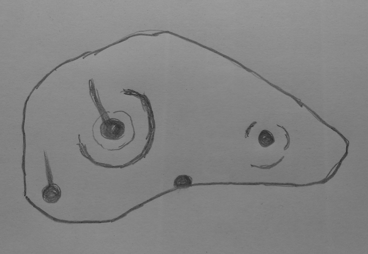
Rough sketch of the designClose-up of the carving
It’s almost archetypal in design, being a primary cup-and-ring, with what appears to be a faint inner ring etched marginally within the larger notable incomplete circle, just an inch beyond the inner central cup. From this same cup runs a carved line, out to the near edge of the small stone. Single cup-marks occur on the edges of the rock, as can be seen in the photos: three, possibly four of them. One of the cups, where the stone narrows to a rounded point, may also have had a partial ring around it. When we found this stone a few weeks ago, the day was grey and overcast and the light was poor, so our photos do not highlight the carving too well.
(Note: the OS grid-reference for this stone is an approximation: pretty damn close, but not close enough. If someone ventures here and can get the exact grid-ref, we’d be most grateful.)
From the Askwith Moor Road parking spot, head west to the Askwith Moor cairnfield. Keep walking west, going downhill past the main cluster of rocks. If you begin zigzagging amidst the heather hereby, you’ll eventually come across this relatively small stone which, even when the heather is deep, thankfully rises to the surface. The Wester Cairnfield 1 carving is close by.
Archaeology & History
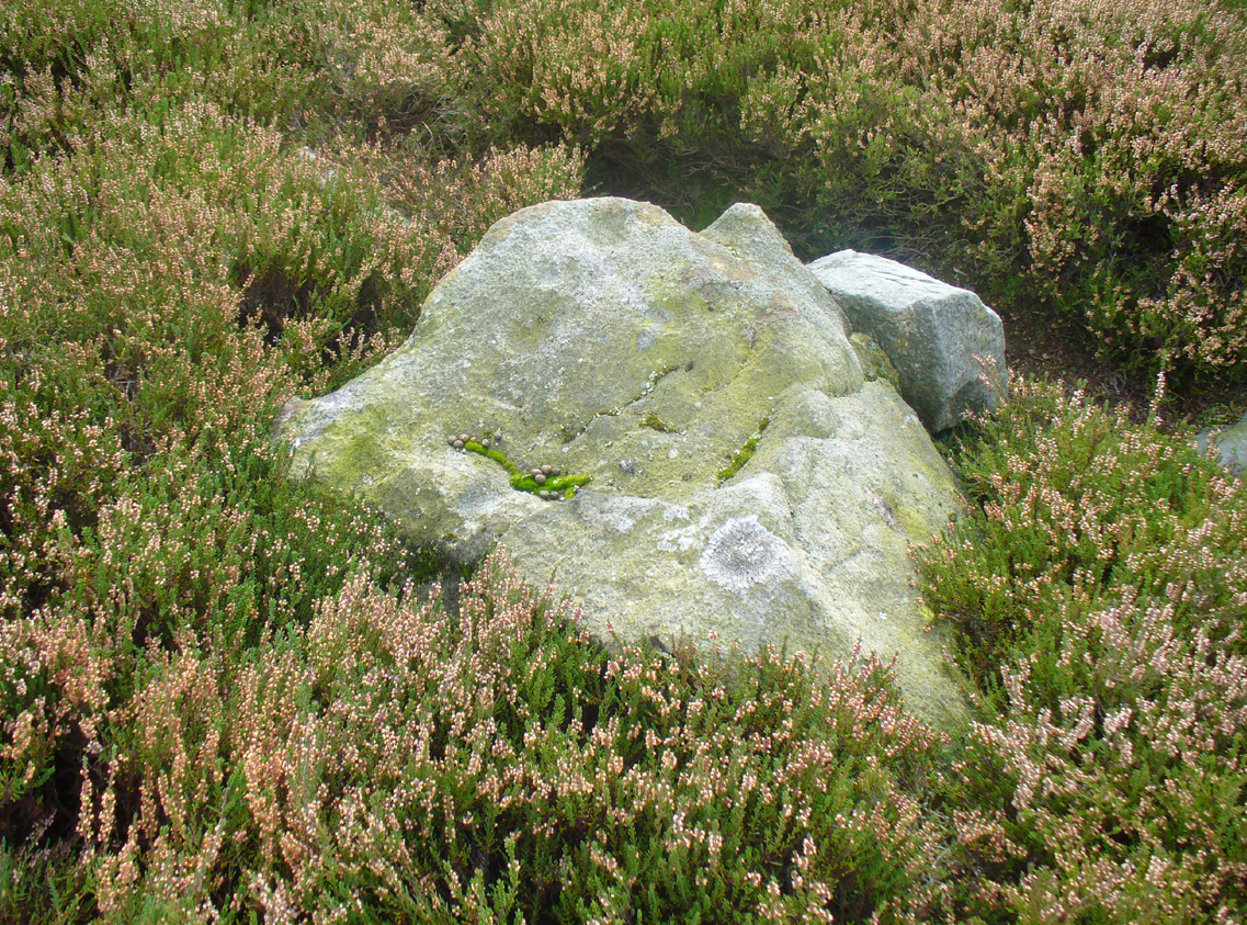
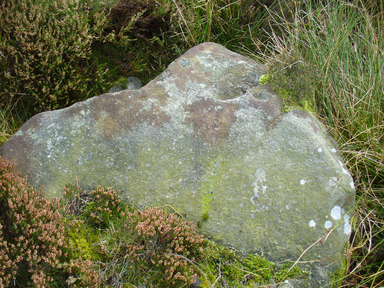
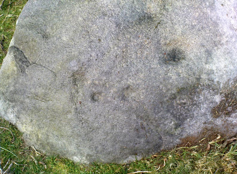
Although I presumed that Graeme Chappell and I found this petroglyph when we surveyed the area in the 1990s, I cannot find an early account of it in my files, so must presume that when James Elkington, James Turner and I came across it a few weeks ago, it was the first view of the stone in many a century… It’s another simple carving, only of interest to the mad rock art hunters out there.
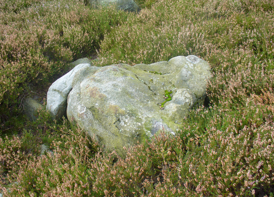
…and from another angle
When we first found it, it seemed to me (with the sunlight effects on the stone) that two cup-marks had been etched here; but as Mr Elkington pointed out, from the angle he was looking at the stone, there were another two. He was right. But it’s nothing special to look at, sadly, and is probably only of interest to the real hardcore petroglyph nutters amongst you. (please note that the grid-ref for this carving needs revising and may be 50 yards either side of the one given)
From the Askwith Moor Lane parking site, take the directions to the Askwith Moor Cairnfield. Walk westwards for about 100 yards down the gradual slope, towards the boggy land below, but before reaching the reeds, still in the moorland heather, there are a scatter of rocks. Just keep zigzagging about until you find it. It’s a reasonably large stone.
Archaeology & History
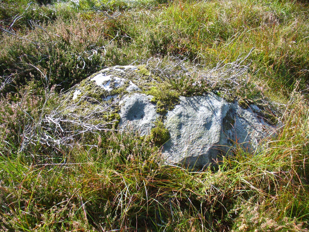
‘Cup mark’ on vertical face
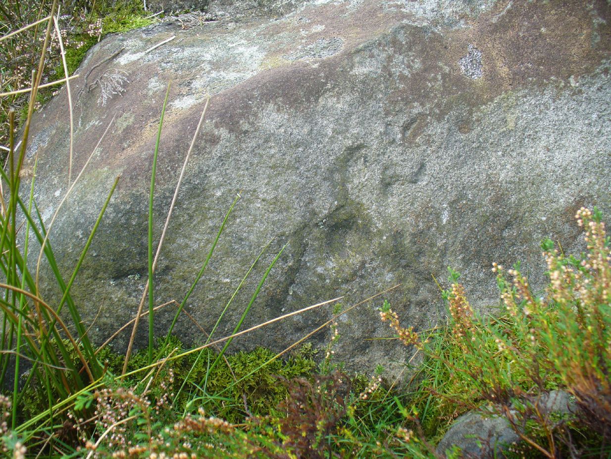
This is one of several simple cup-marked stones found down the slopes about 100 yards west of the Askwith Moor Cairnfield. When James Elkington, James Turner and I re-surveyed this area again recently, I wondered whether it was a newbie or had already been located when Graeme Chappell and I did our tedious surveying of this region in the 1990s—and it turned out that we did! The carving is nothing special to look at, even if you’re a petroglyph zealot. Comprising of a distinct single cup-mark on the top nose of the rock, another is visible on the vertical south face, and another possible is on its eastern face.
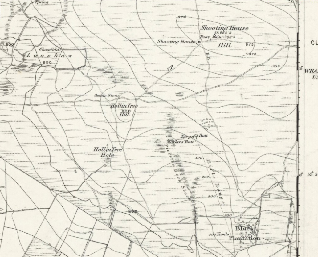
1894 map of shooting target
When we look at the early maps of this area, we find that to the north and south of this stone once existed ‘Shooting Houses’. As we can see on the attached map, the position of one of the shooting targets is very close to the location of this stone and so we must conclude that the cups on the vertical face were done by gunshot and are not prehistoric. However, the distinct cup on top of the stone retains its prehistoric link.
Take the same directions as if you’re visiting the Great Skirtful of Stones giant cairn on the boundary of Burley and Hawksworth. Cross the wire fence on its southern-side and, cross the (usually overgrown) prehistoric trackway 50-60 yards away. Keep in the same direction onto the pathless moor for about the same distance again, zigzagging back and forth, keeping your eyes peeled for some small overgrown rocky rises. You’ll find ’em.
Archaeology & History
Not to be confused with the much larger Bronze Age graveyard further south on the same moorland, this little-known prehistoric cemetery has had little of any worth written about it since the 19th century and—like many sites on these moors—has received no modern archaeological attention.
Close-up of one of the cairnsTwo of the cairns, looking NW
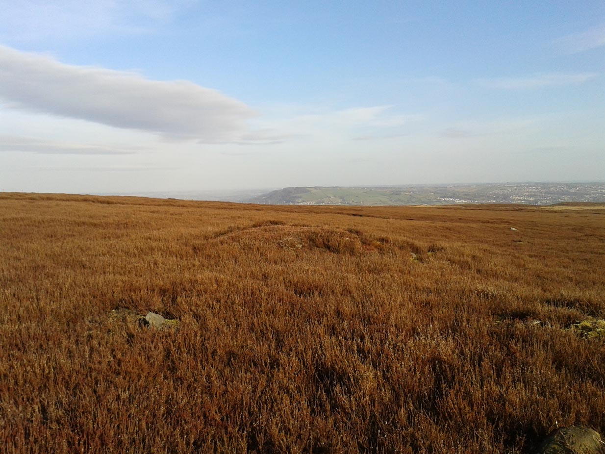
On my last visit to this site with James Elkington in 2015, only four of the heather-clad cairns were visible; but if you explore here after the heather has been burned away, a half-dozen such tombs are found in relatively close attendance to each other. They are each about the same size, being roughly circular and measuring between 3-4 yards across, 10-12 yards in circumference and a yard high at the most. As you can see in the attached images, they are quiet visible even when the heather has grown on them.
Another cairn in this group
This small cairnfield may stretch across and link up with the secondary cairnfield a half-mile to the southwest. More survey work is required up here.
As with the circle of Roms Law and the Great Skirtful of Stones, this relatively small cluster of cairns seems to have had a prehistoric trackway approaching it, running roughly east-west. A short distance west are the much-denuded waters of the Skirtful Spring.
References:
Bennett, Paul, The Old Stones of Elmet, Capall Bann: Milverton 2001.
Faull, M.L. & Moorhouse, S.A. (eds.), West Yorkshire: An Archaeological Guide to AD 1500 (4 volumes), WYMCC: Wakefield 1981.
Wardell, James, Historical Notes of Ilkley, Rombald’s Moor, Baildon Common, and other Matters of the British and Roman Periods, Joseph Dodgson: Leeds 1869. (2nd edition 1881).
Acknowledgements: Huge thanks to James Elkington for use of his photo in this site profile.
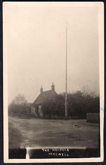
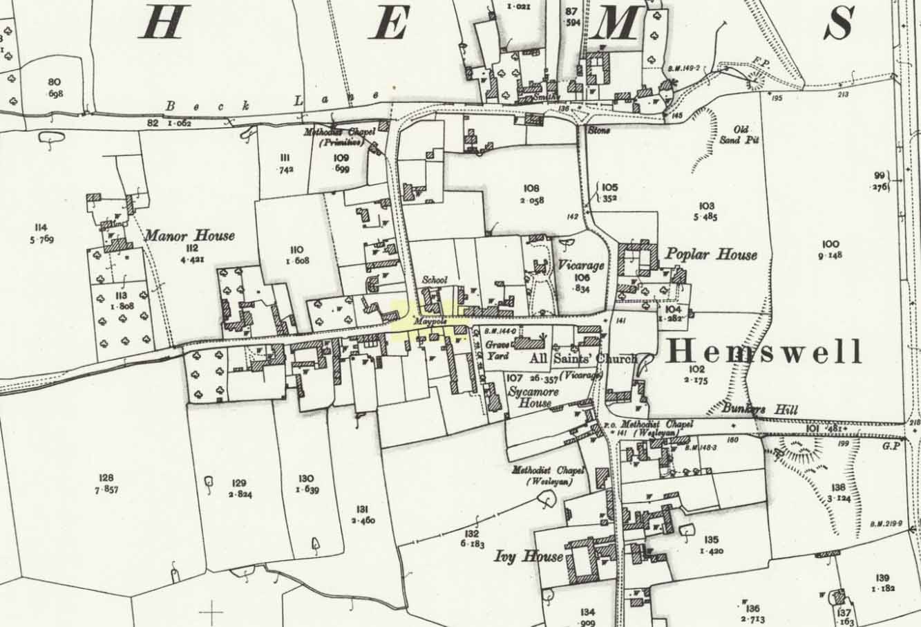
In Hemswell Village at the junction of Church Street and Maypole Street.
History & Archeaology
According to a 2010 report in the Scunthorpe Telegraph, the Hemswell villagers,
“claim to be the hosts to one of the oldest maypole celebrations in the world, dating back to at least 1660”.
The then clerk to the parish council, Dianne Millward is quoted as saying:
“Hemswell is widely regarded in historical circles as having one of the oldest if not the oldest celebrations for May Day. We have pictures of the pole being prepared for the big day in the very early 1900s.”
Hemswell maypole on 1906 map
This writer has not yet been able to independently verify these claims.
May Day is still celebrated in the village with dancing around the maypole and an accompanying fete. Recent online photographs show that it is now only children, in ‘historic’ fancy dress who ribbon-dance around the Pole.
Start at the Askwith Moor parking spot on Askwith Moor Road, then walk down the road (south) 300 yards till you reach the gate and track on the other side of the road, heading southeast. Following the track onto the moor and take the footpath on your right after 75 yards. Follow this along until you hit the gate & fence. Climb over this, then follow the same fence along (left) and down, and keep following the fence and walling all the way on until you reach the very bottom southwestern edge of Askwith Moor itself. Now, walk up the slope to your right and, near the top of this rise 250 yards away, past Lower Lanshaw 01 carving, in some ancient walling, you’ll find it!
Archaeology & History
A very faded cup-and-ring carving can be found about 30 yards northeast of the Lower Lanshaw cup-marked stone, just as the hill slopes down to the overgrown stream. It rests on the lower edges of the prehistoric (probably Bronze Age) enclosure in which other archaeological remains can be found. Although the photo here highlights what seems to be 3 cups on the south-face of the rock, only one of them seems authentic. A pecked “line” also seemed evident, but the light conditions were poor when we were here. It does seem that there’s a faded ring around one of the cups, as you can see in the photo.
Take the directions as if you’re visiting the ornate petroglyphs known asthe Lunar Stone and the Spotted Stone. Walk past them and down the slope, NW, as if you’re heading to the small valley a few hundred yards away. As you reach the bottom of the slope, closer to the stream, a large boulder catches your attention. This carved stone is just a few yards before you reach it.
Archaeology & History
This simple cup-marked design below the northern slope of Stanbury Hill has, on its northeastern sloping face, a single cup-mark; then, past a curiously-etched line (probably more recent) is a larger circular feature, like a very shallow ‘bowl’ as in the one found in the superb Stag Cottage petroglyph complex 300 miles north (and several other carvings). A few yards away, a large single cup-mark has been etched onto another stone. As with quite a few carvings in this region, they have been missed in the standard archaeocentric surveys.
The location of what was, in all likelihood, a small Bronze Age burial on the edge of old Shotley Bridge (as it was in the mid-19th century) remains a mystery. It’s likely that the position of the site is now beneath someone’s house in the town. Its existence was thankfully recorded in correspondence between a “Mr. John Dixon, of the Engineer’s Office, Consett Ironworks,” and the great John Collingwood Bruce. Dixon’s letter dated October 13, 1856, told:
“I take the liberty of informing you of the discovery of a coffin, of some description or other, in a field near ShotleyBridge. I have visited the place and enclose a sketch² made on the spot as it appeared when I saw it. Some workmen were excavating sand and came upon it about a foot beneath the surface. The only remains that we can ascertain to have been in it, are a few pieces of bone, barely recognizable as such, and now in the hands of Dr.Renton. I have not yet seen them. He tells me that one fragment resembles a portion of a skull, but that they are in such small pieces it is difficult to say what they are. I shall endeavour to get a piece — as, if the surface remains, I apprehend we shall be able to say whether they are human or not. Possibly it may never have been a human coffin —though from the paved bottom and the appearance of great age the stones possess, and also the bearing NW and SE, I am inclined to think it must be one. The dry situation — a sloping hillside — would tend to preserve the remains of bones. I cannot hear of any urns, or the fragments of any, having been found in it. They may, if ever there were any, have been destroyed. The coffin may have been opened before, and rifled — say hundreds of years ago. It seems unaccountably short — as I believe the older ones are generally distinguished by their great size; but it may have been, and probably was, merely a receptacle for burnt remains, either in urns or not. The paving I mentioned had all disappeared when I saw it. As it consisted of small stones, they had doubtfully been carried away. Not being an antiquarian, or skilled in antiquarian lore, I cannot do more than form an idea about it, but shall be glad to hear your opinion at any time you may find it convenient.”
In a second letter, replying to Mr Bruce’s enquiries, Dixon added that a piece of flint had been found amongst the debris which, he thought,
“might possibly turn out to be part of an ancient weapon; and if so, might lead to some solution of the question.”
As Dr. Bruce pointed out: many ancient British graves were not uncommonly as short as three feet. In so called “rude times it would seem that a grave was made much shorter than the body—which was doubled up, and thrust in.” It was his opinion that the grave here was prehistoric. We have to agree with him. But where exactly was this place? Does anyone know…?
References:
Anon., “Discovery at Shotley Bridge,” in Proceedings Society of Antiquaries Newcastle-upon-Tyne, volume 1, no.22, 1856.
Take the A675 road to Bolton from Abbey Village, going up the track opposite Piccadily farmhouse until you reach the ruins in the woods. The site can also be reached by going south down the Tockholes Road car park following the sign for Hollinshead Hall on your right.
Archaeology & History
Hollinshead Hall
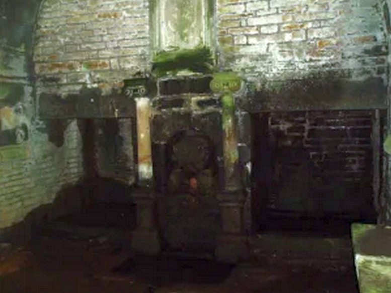
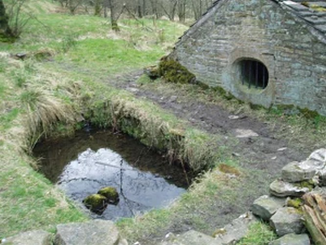
Associated with Hollinshead Hall, which is now a ruin, the well is made of the same sandstone rubble as the hall with a stone slate roof. The building a single cell is built into a slope from which the spring arises and is encapsulated by it. Either side a high walls creating a sort of forecourt with side benches with inward-facing chamfered piers with ball finials at the ends. The well house itself is quite an attractive building and is certainly not thrown up, having a symmetrical facade with chamfered unglazed widows which are fitted with spear-headed iron bars and clearly the building has never been glazed. The gable end has a large oval opening with a matching one at the rear. In the centre is a heavy board door with a chamfered doorway. This doorway unfortunately is locked baring any entrance to the well house.
Peering in through the windows one can see how strong the vaulted roof is, adorned by a pendent ball in its centre. The spring’s water flows from a crudely carved lion’s head, either side of a reredo of Ionic colonnettes, with a sunken stone tank beneath or each side a rectangular recess which enclose rectangular pools. There is a diamond-paved floor with a central gutter draining from this well or trough at centre of rear wall.
Local tradition accounts that there was a site here from Medieval times and indeed, that the name Hollinshead was derived from a version of holy well although O.E hol, for hollow is more likely although there is a Halliwell Fold Farm nearby being derived from O.E halig for healing. The pool with steps down above the well house may be the original well of course. The discovery of a hoard of medieval coins in 1970s would support the date and perhaps they were an offering.
Folklore
Abram’s Blackburn (1877) is perhaps the first to state that the water was curative. However, anonymous quote in Nightingales History of Tockholes describes the well as:
“Here no less than five different springs of water, after uniting together and passing through a very old carved stone representing a lion’s head, flow into a well. To this Well pilgrimages were formerly made and the water which is of a peculiar quality, is remarkable as an efficacious remedy for ophthalmic complaints.”
Another tradition is that the site was a resting place for pilgrims to Whalley Abbey and that the trough was used as baptistery, however, this would be more likely to be the spring above the well house. It is probably a spring house, a structure built over a natural source of water for the storage of dairy products and other foods that needed to be kept fresh.
Reculsancy was very prevalent in Lancashire and the well house does the bear the coat of arms of the Radcliffes. It would suggest why the structure is so ornate and suggest a 1600s date—although many authorities suggest an 18th century origin. The site would be a secret baptistery and its design as a dairy would also help as well as being still function, certainly the presence of benches suggest this functionality. It appears to be too close to the house to be a garden folly such as a grotto! The suggestion of stained glass in the windows suggests something more significant discovered during the present stone roof’s construction. Indeed, the choice of the lion’s head is possibly that of the ‘Lion of Judah’, meaning Jesus providing rich and valuable water, although this is a common motif on many drinking fountains of course! Interesting, Cramshaw (1994) tells us that the site was in the 1980s the site of a well dressing, although what type is unclear and no other author has mentioned it as far as I am aware. Perhaps we shall never know the real origin of this delightful building.
Get yourself to the Roms Law circle, by hook or by crook. Then take the long almost straight footpath south, as if you’re heading to the very damaged Horncliffe Well (thanks to Yorkshire Water). You’ll notice the fencing that runs parallel to the path eventually. Nearly 400 yards along the parallel fenced line you reach the first decent-sized stream. From here, walk upstream, keeping to its northern edges for another 300 yards—then walk 10-20 yards into the heather. You’re damn close!
Archaeology & History
The site is named after Mr James Elkington who recently rediscovered this previously unmapped prehistoric trackway, close to where Burley Moor meets the western edge of Hawksworth Moor, on the greater Rombald’s complex. And it’s a bloody good find if I might say so myself! But, like so many sites covering the Rombald’s complex, it begs more questions than it answers.
2014 aerial view showing outline of trackway2002 aerial view of trackway
The trackway is consistent in architectural design and dimensions with at least six of the eight prehistoric trackways that I’m aware of on these moors — none of which have ever been adequately mapped nor investigated by regional archaeologists (thankfully, there are folk like us around!). This ninth trackway, upon initial investigation, may be the shortest of them all up here.
Section of large stones marking the trackOvergrown section of track-edge
Elkington’s Track seems to begin its route about 10-20 yards north of the once large, fast-flowing stream of the Middle Beck—which in itself seems curious. No trace of any trackway seems evident on the other side of this stream and there are no other prehistoric remains accounting for why it should begin or end here…
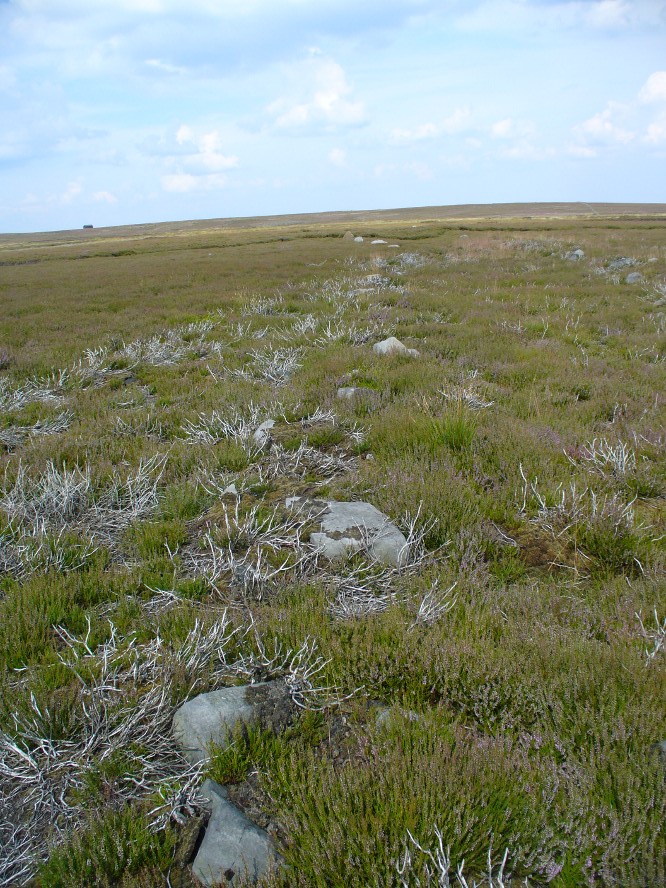
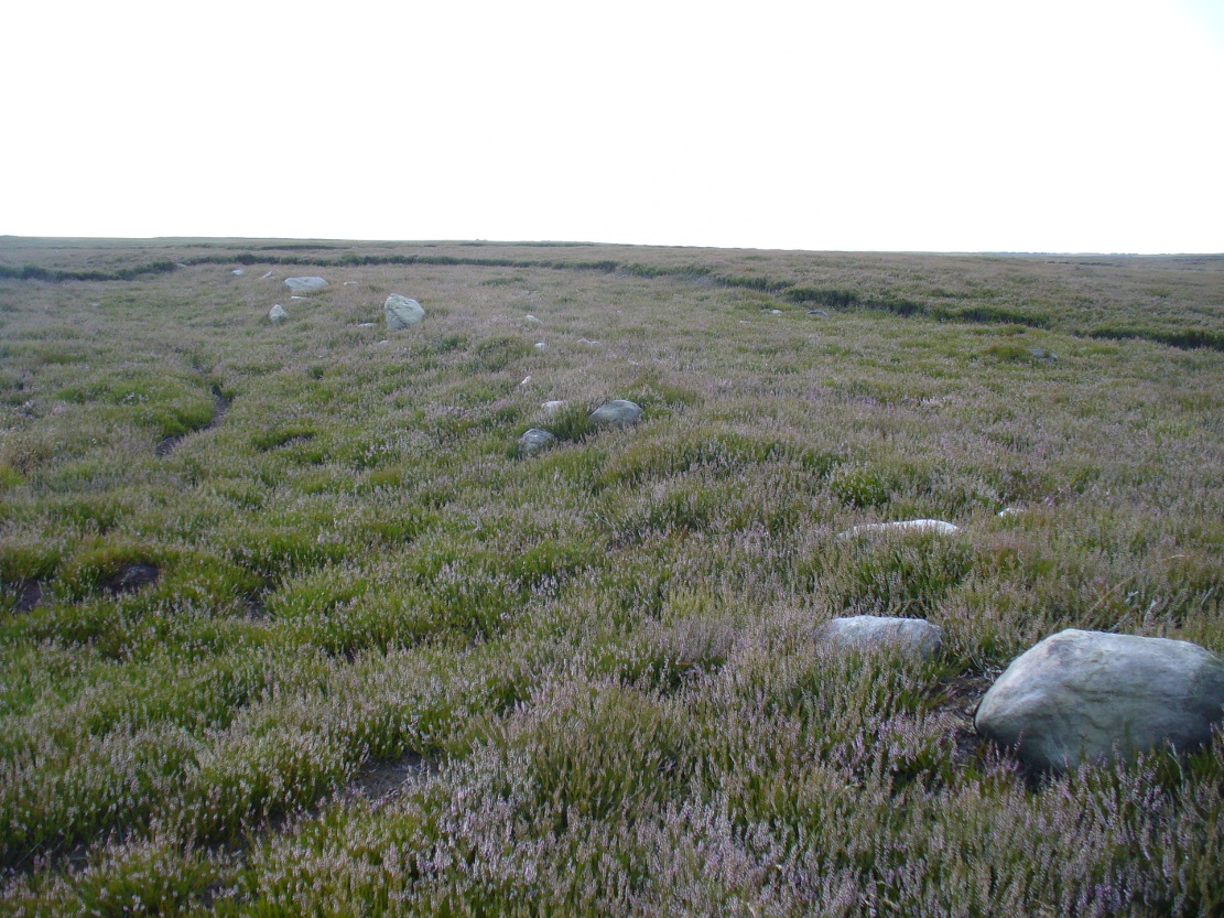
Walking along the track, it heads northeast for 80 yards, with low lines of raised parallel walling 4-5 yards apart defining the avenue, before it begins to gradually bend round in a more easterly direction. Thirty yards along this more easterly alignment, in the southern walled section, lays an eroded stone (SE 13255 44165) that seems to have stood upright in the not-too-distant past. It seems to mark an opening or gap in the walled trackway and a large scatter of small stones, akin to the denuded remains of a cairn is evident just below the track at this point. The raised embankment of the trackway keeps heading east, towards the line of Hawksworth Moor boundary stones.
More long line of walled edgesLooking NE up the track
Upon initial investigation, the trackway was visible for a minimum of 185 yards (169.4m) in length, whereafter any immediate trace of it disappeared into the ancient peat. However, aerial views of it on GoogleEarth indicate a faint extension of the track, but these are difficult to apprehend at ground-level. There is every possibility that this trackway eventually meets up with one of the four other prehistoric trackways near the Great Skirtful of Stones giant tomb, or even the North Road running past Roms Law—but until this can be ascertained, the trackway must be defined on its own merits. Further heather-burning on the moors at either end would obviously enable a great examination of the remains.
In the event that the southernmost point of this trackway does begin above the Middle Beck stream, as seems apparent, we may be looking at a ceremonial trackway and not just a ‘road’ as we define them in the modern parlance of homo-profanus culture. Think of it as a small version of The Avenue trackway that runs from Stonehenge outwards, past the Heel Stone and eventually bending down to the River Avon. (Burl 2006) Y’ just never know…..
References:
Burl, Aubrey, A Brief History of Stonehenge, Constable: London 2006.
Cowling, Eric T., Rombald’s Way, William Walker: Otley 1946.
Raistrick, Arthur, Green Tracks on the Pennines, Dalesman: Clapham 1962.
Wright, Geoffrey N., Roads and Trackways of the Yorkshire Dales, Moorland: 1985.