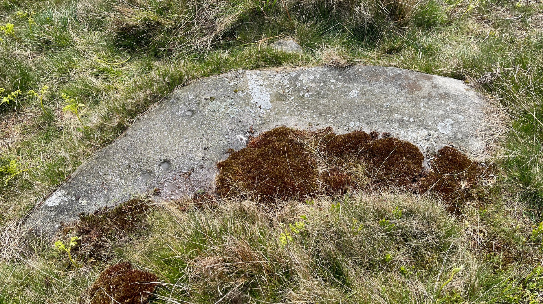
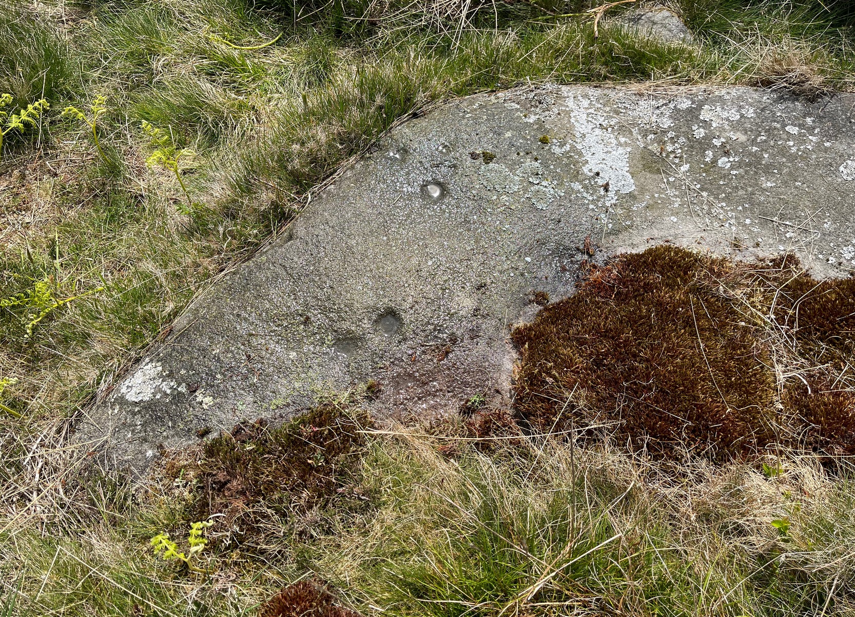
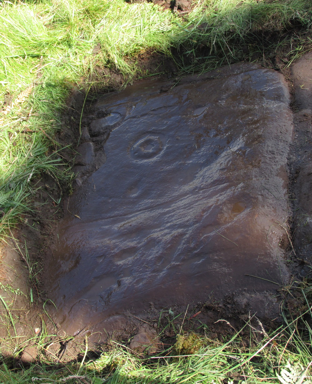
Cup-Marked Stone: OS Grid Reference – NN 69279 42814
Getting Here
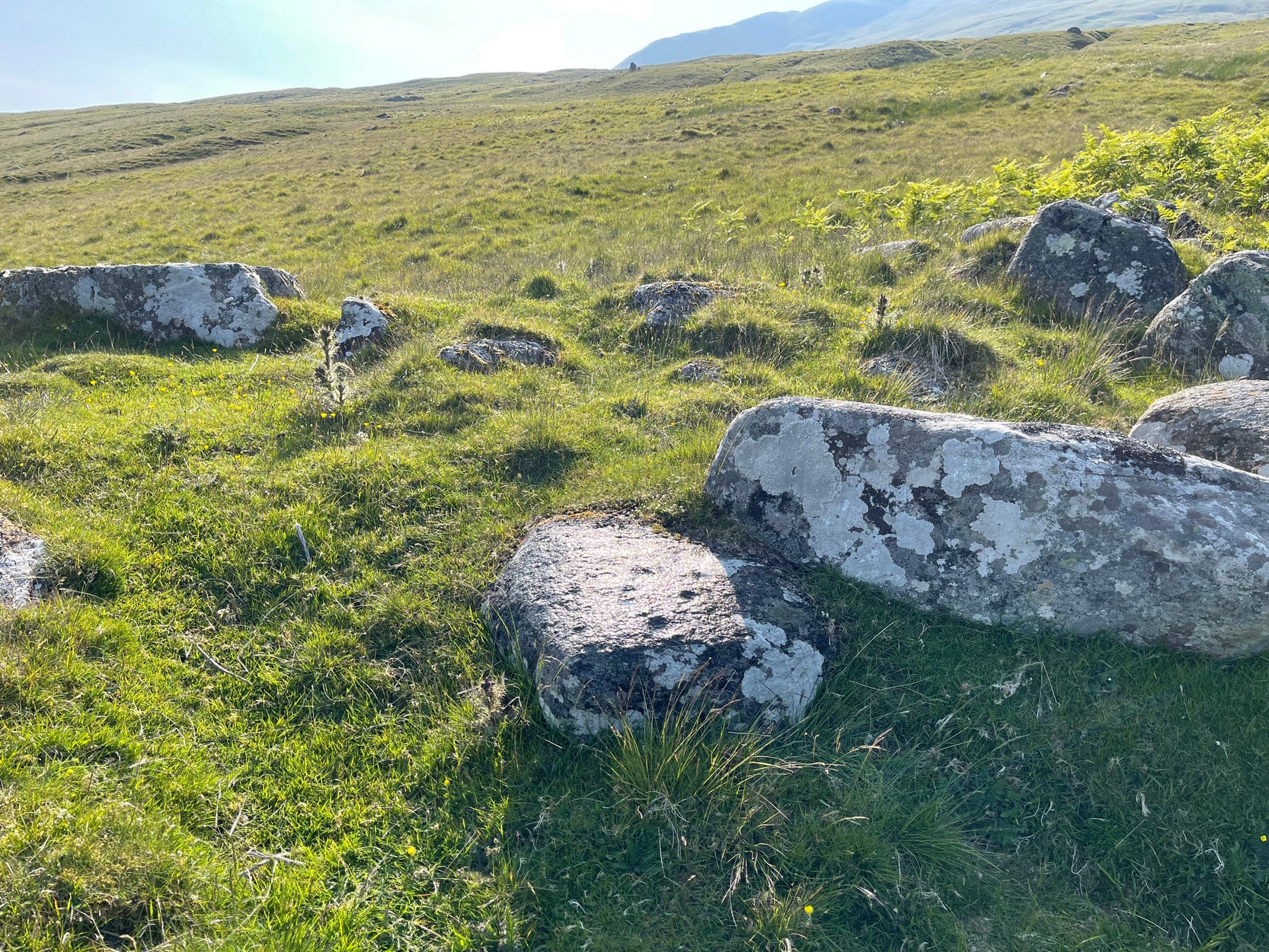
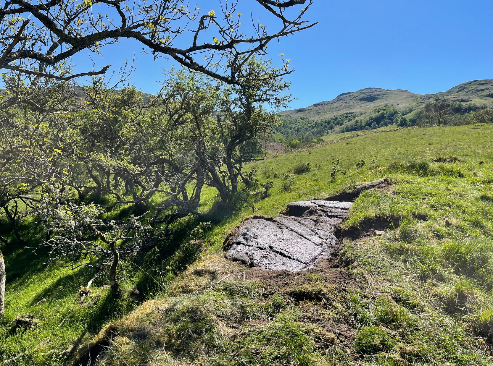
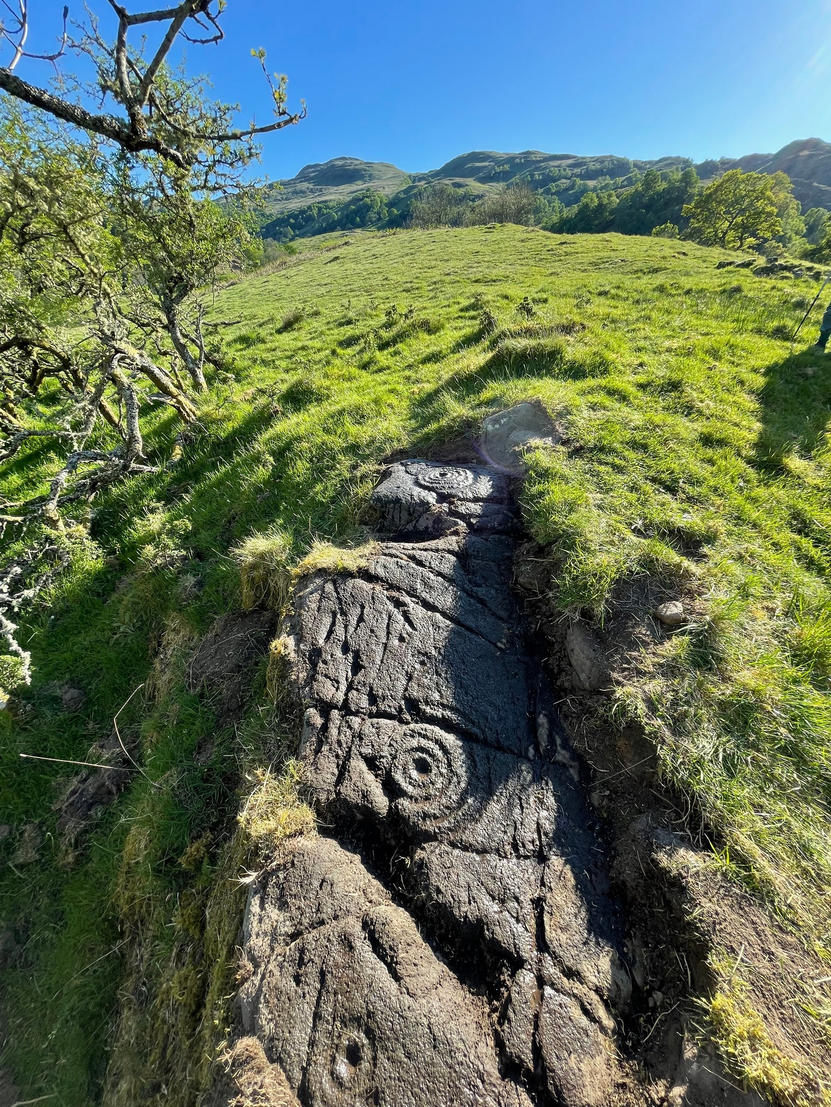
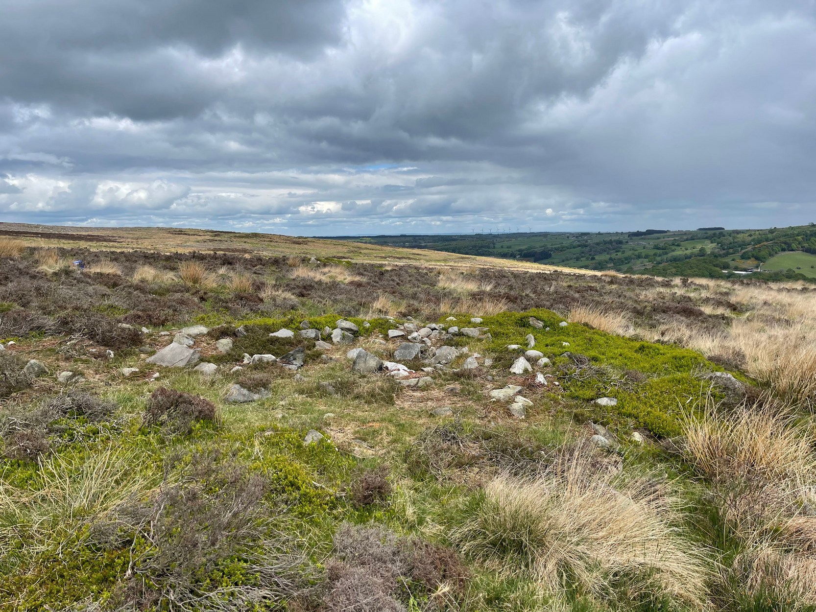
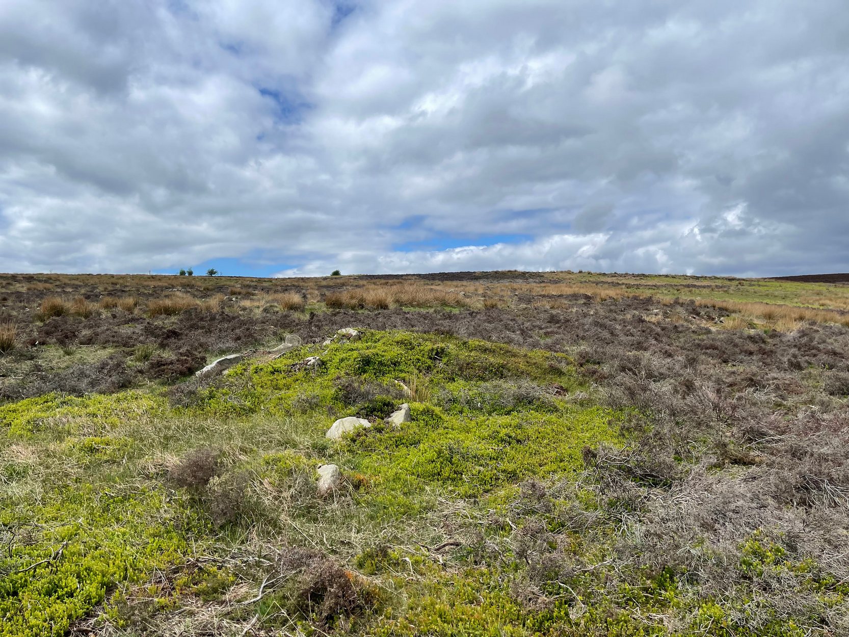
Along the A827 Loch Tay road, halfway between Fearnan and Lawers just beyond the forestry, a track goes up into the fields across from Feadan house (big shed above you in field). Careful, or you’ll miss it. Go up here and head all the way up the steep winding track for 700 yards (as the crow flies) until, where the land starts levelling out, you hit the long straight line of old walling. Go over it and walk to your right (northeast) for a few hundred yards until it bears sharp left (NW), keep walking along it for another 45 yards and, where the fence turns down to the water, just keeping walking up the slope to the scatter of rocks. Look around!
Archaeology & History
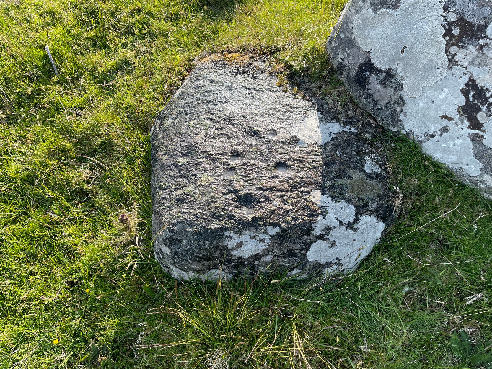
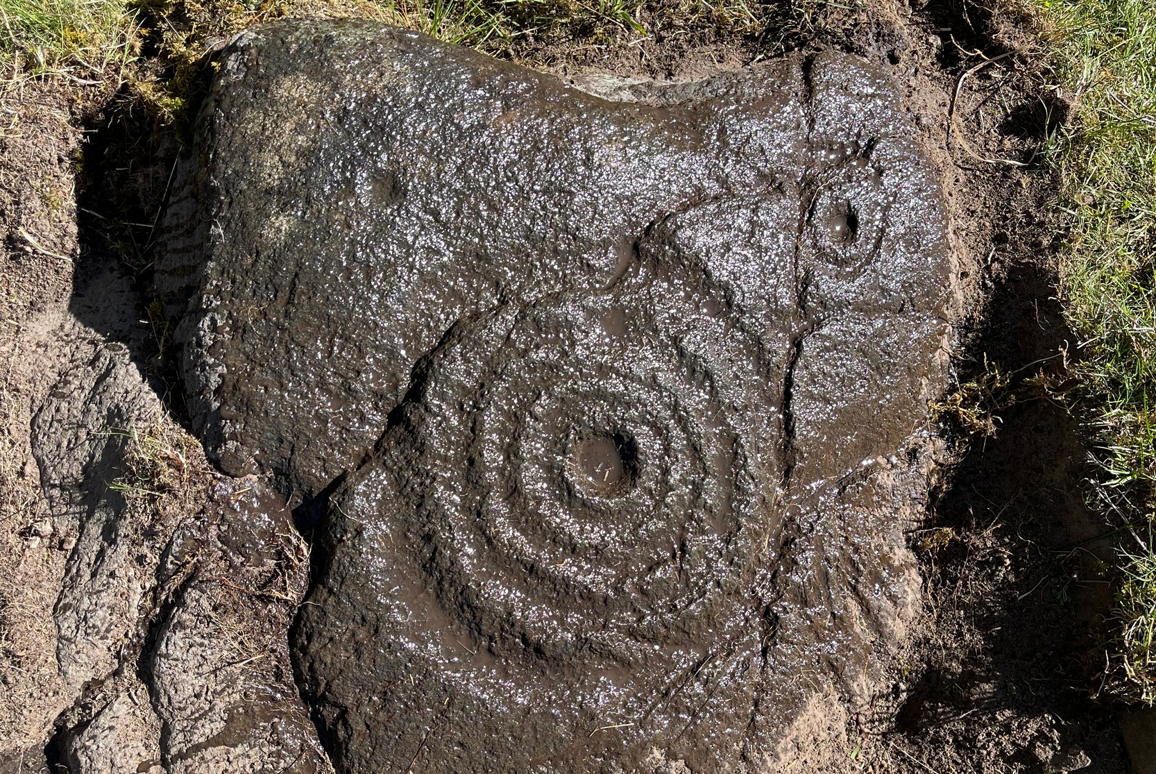
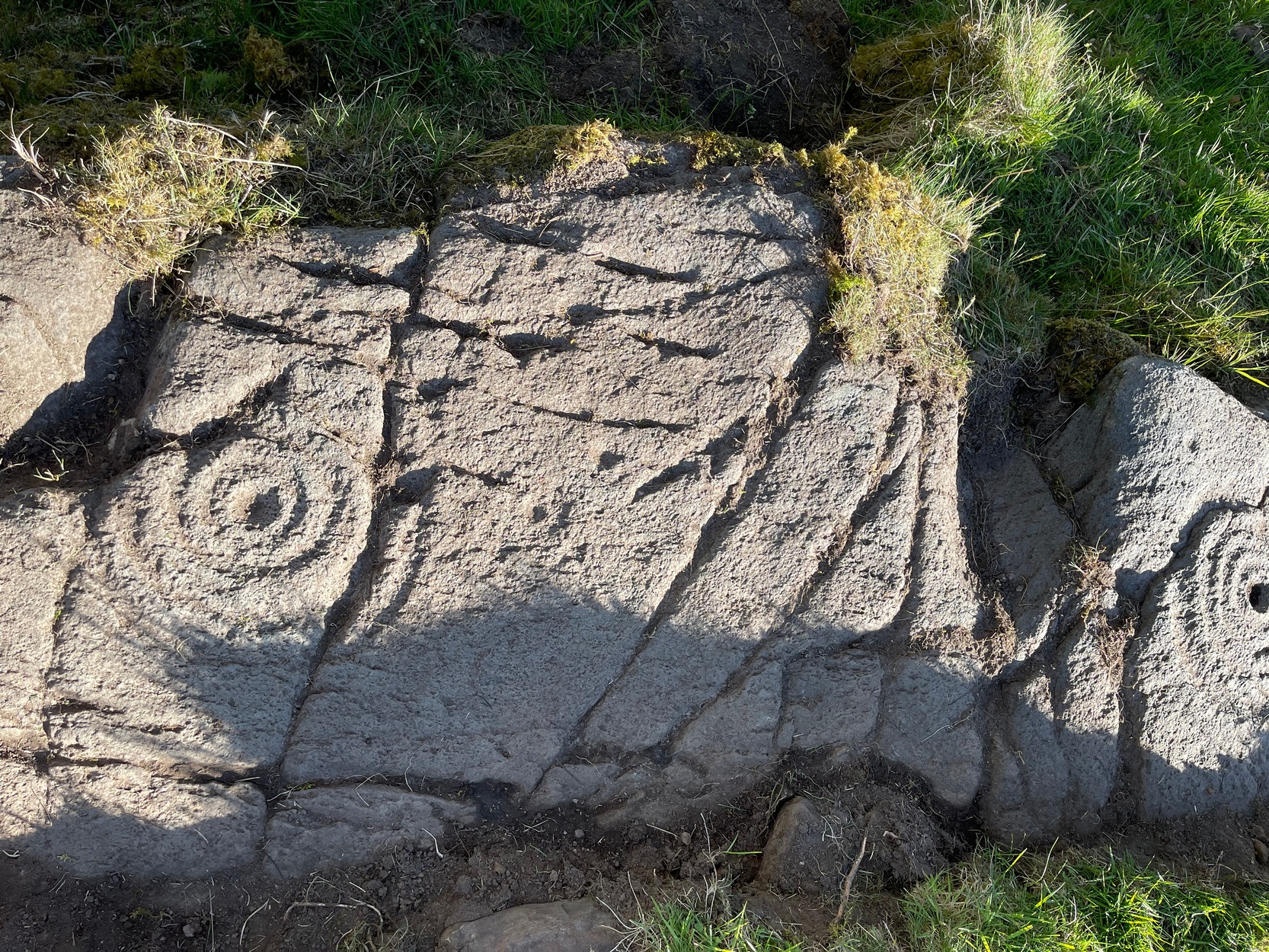
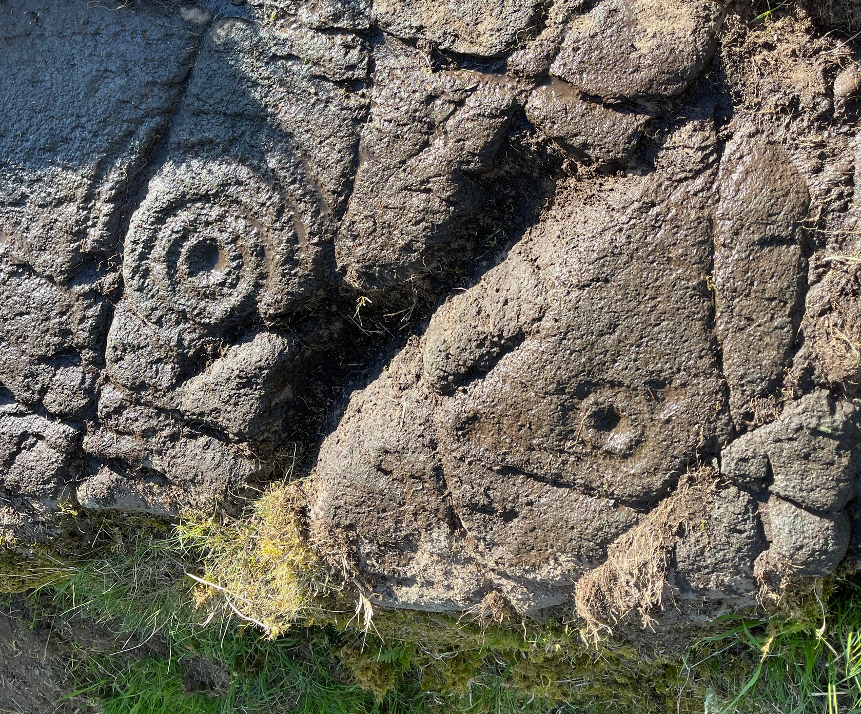
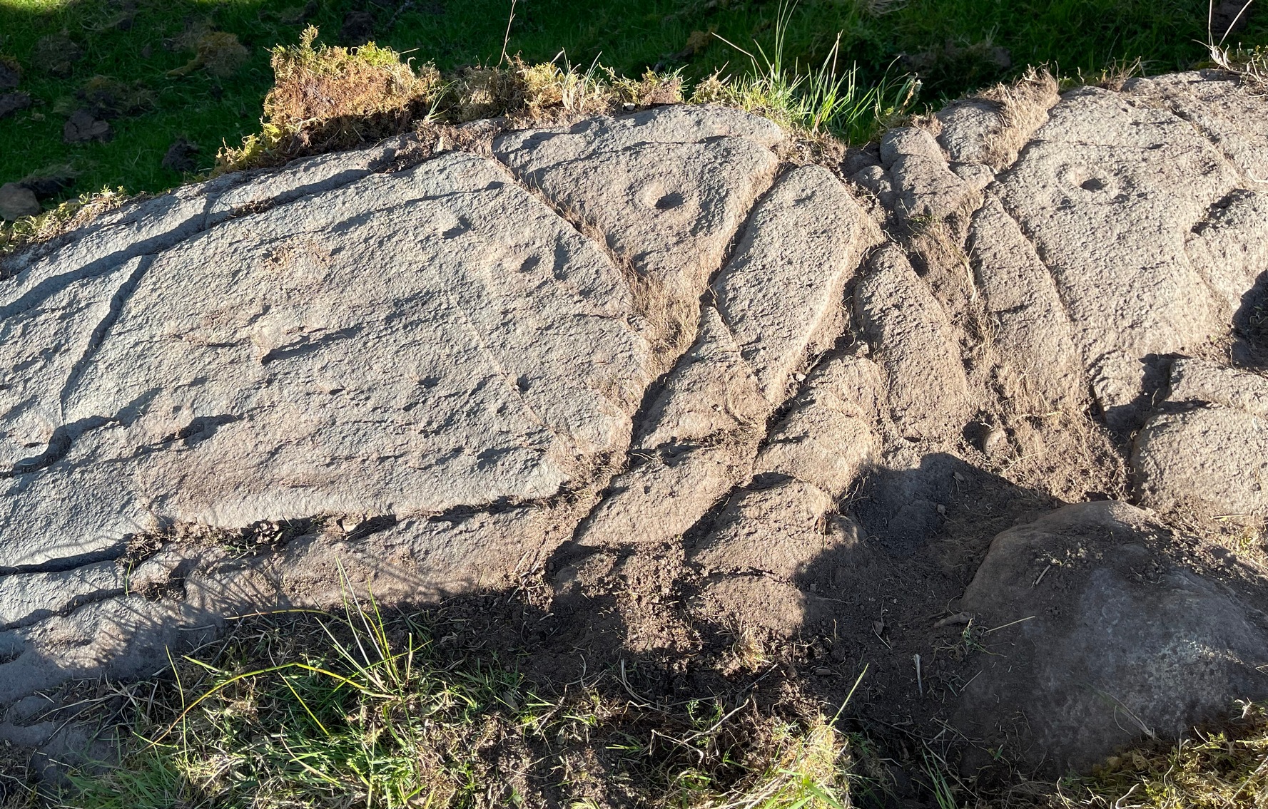
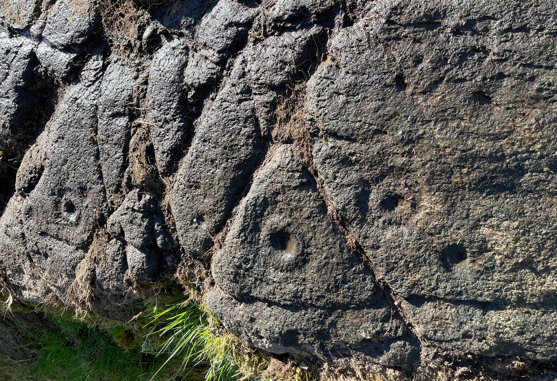
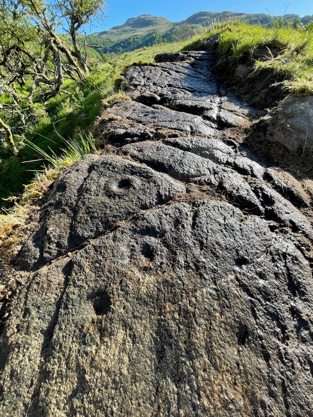
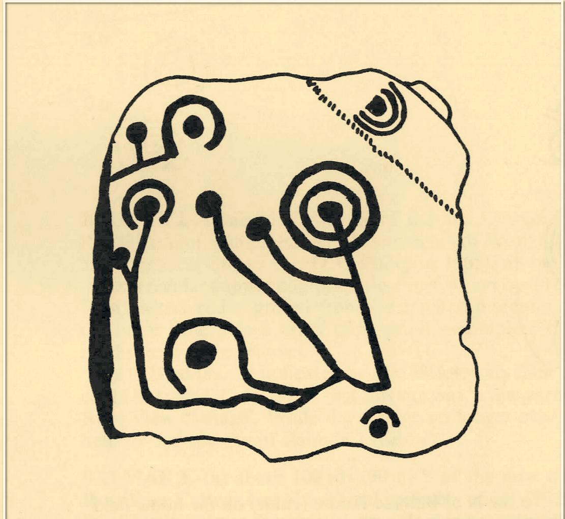
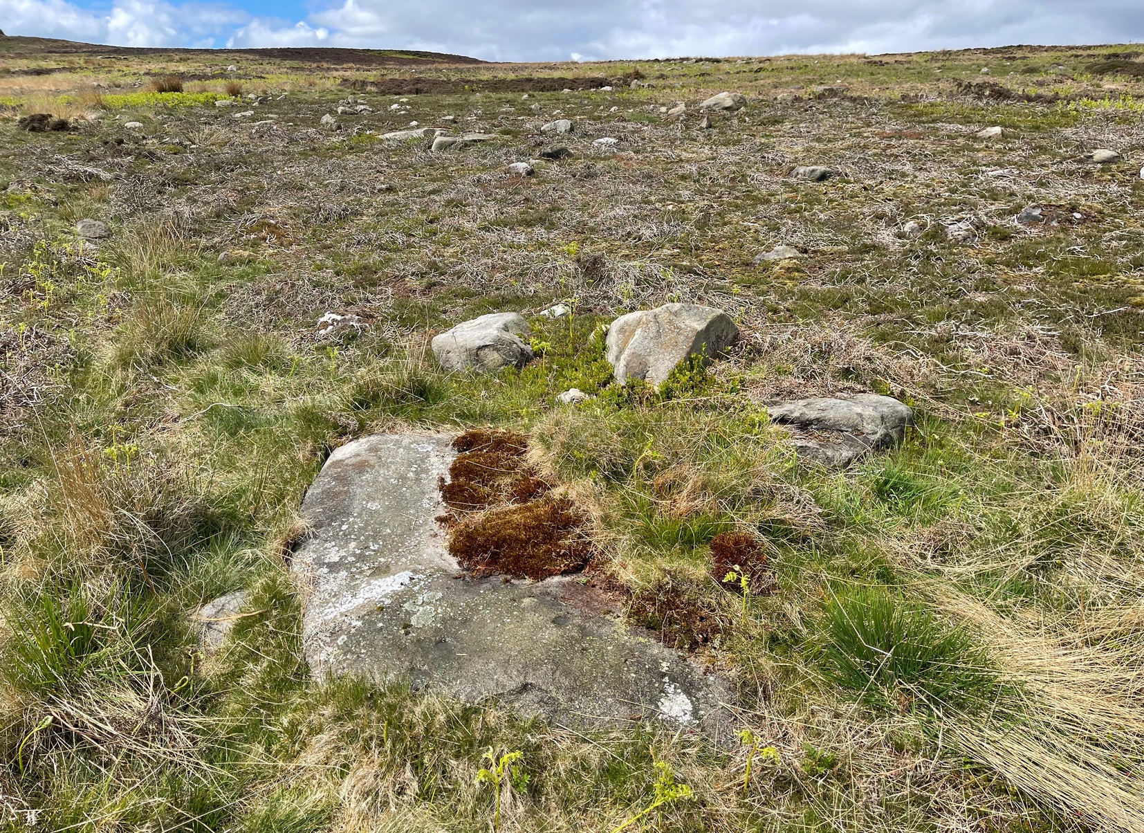
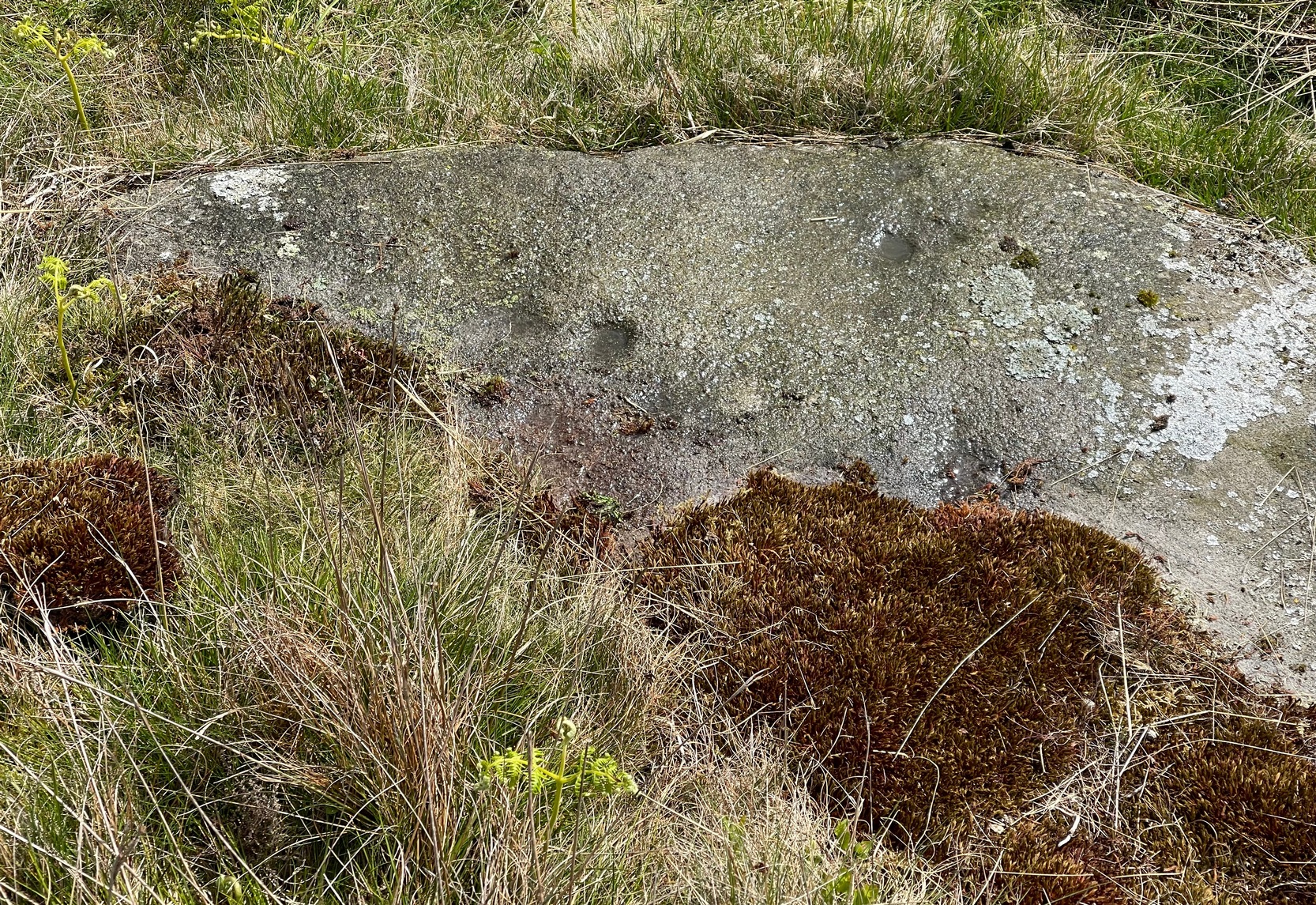
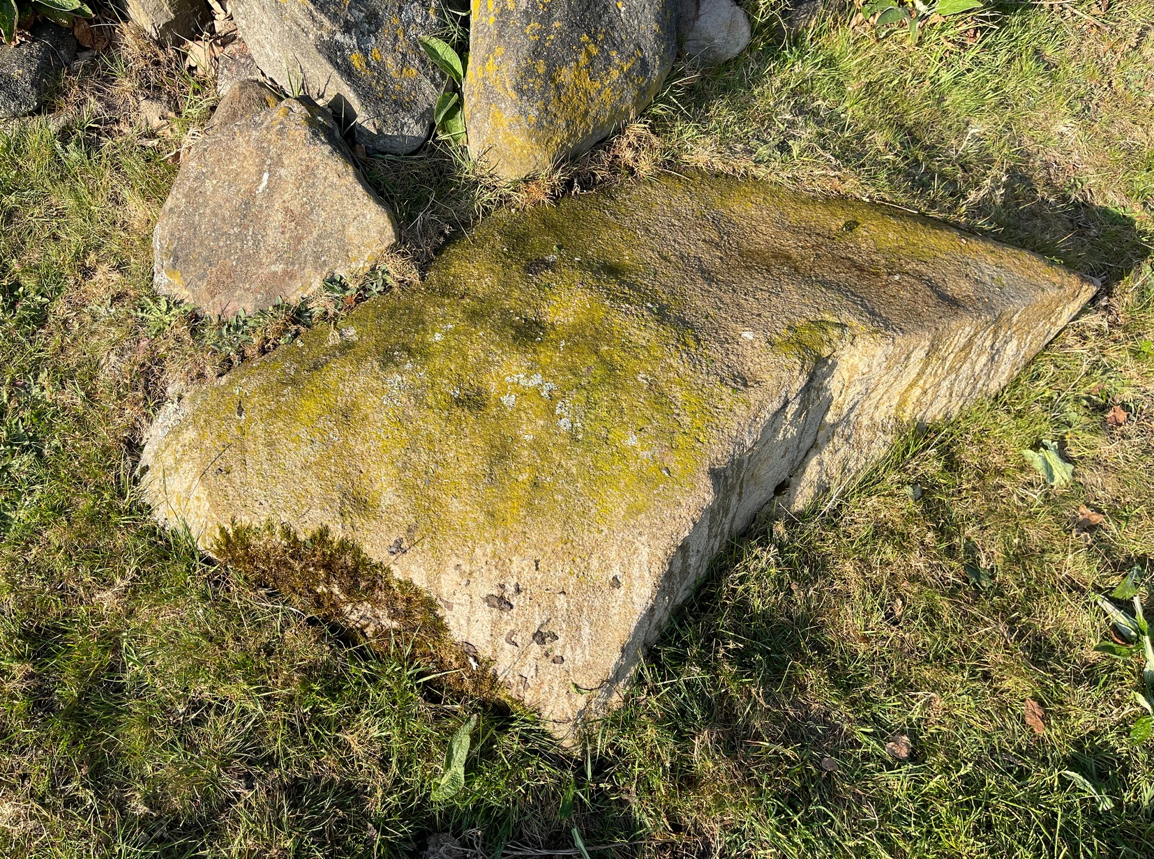
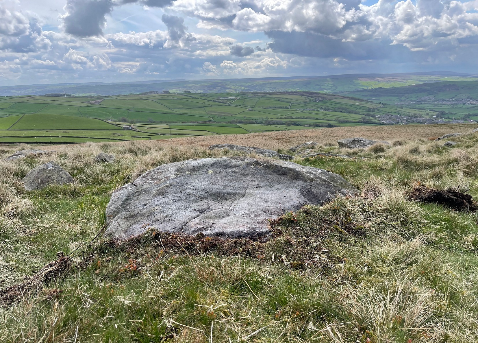
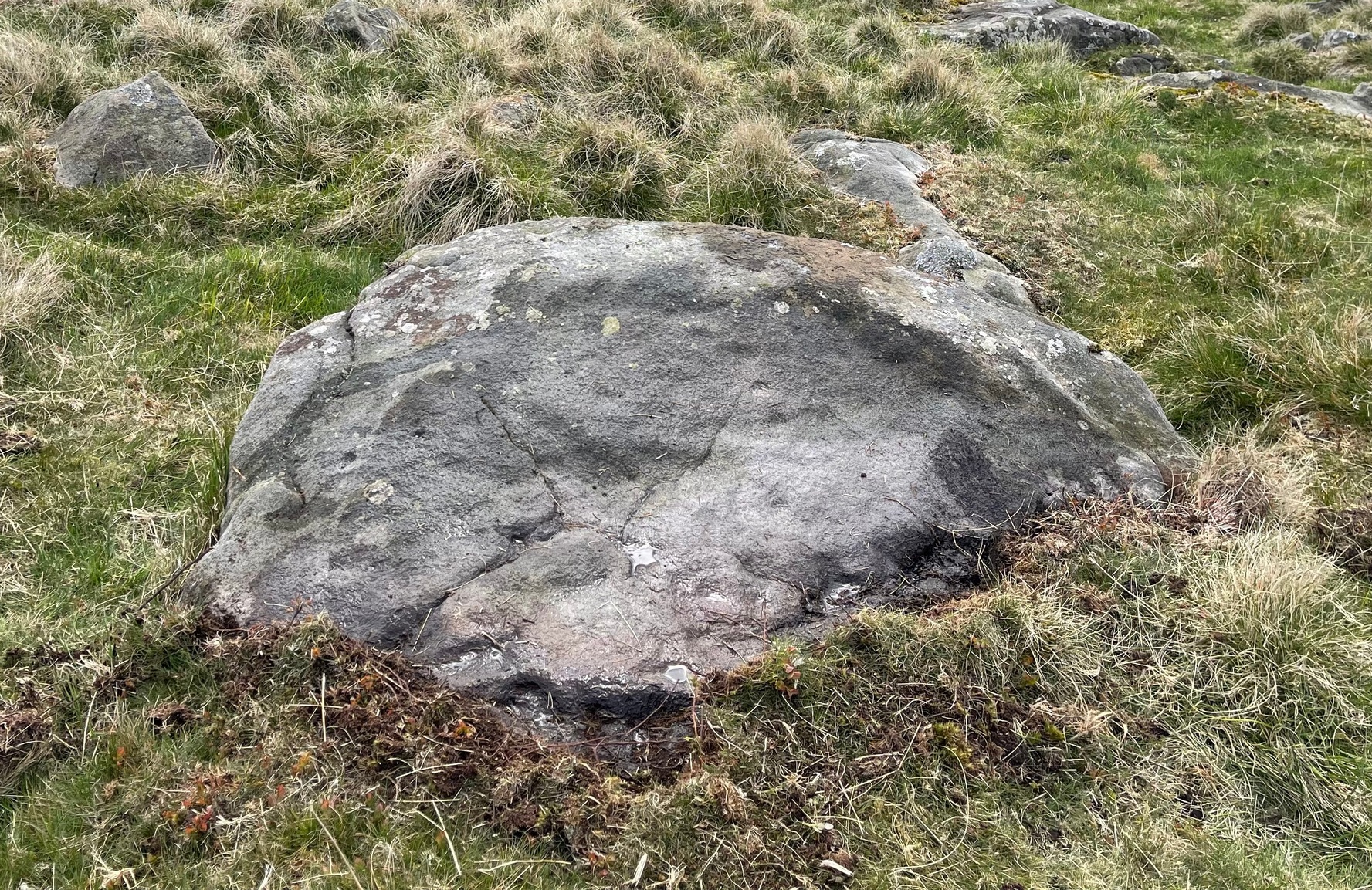
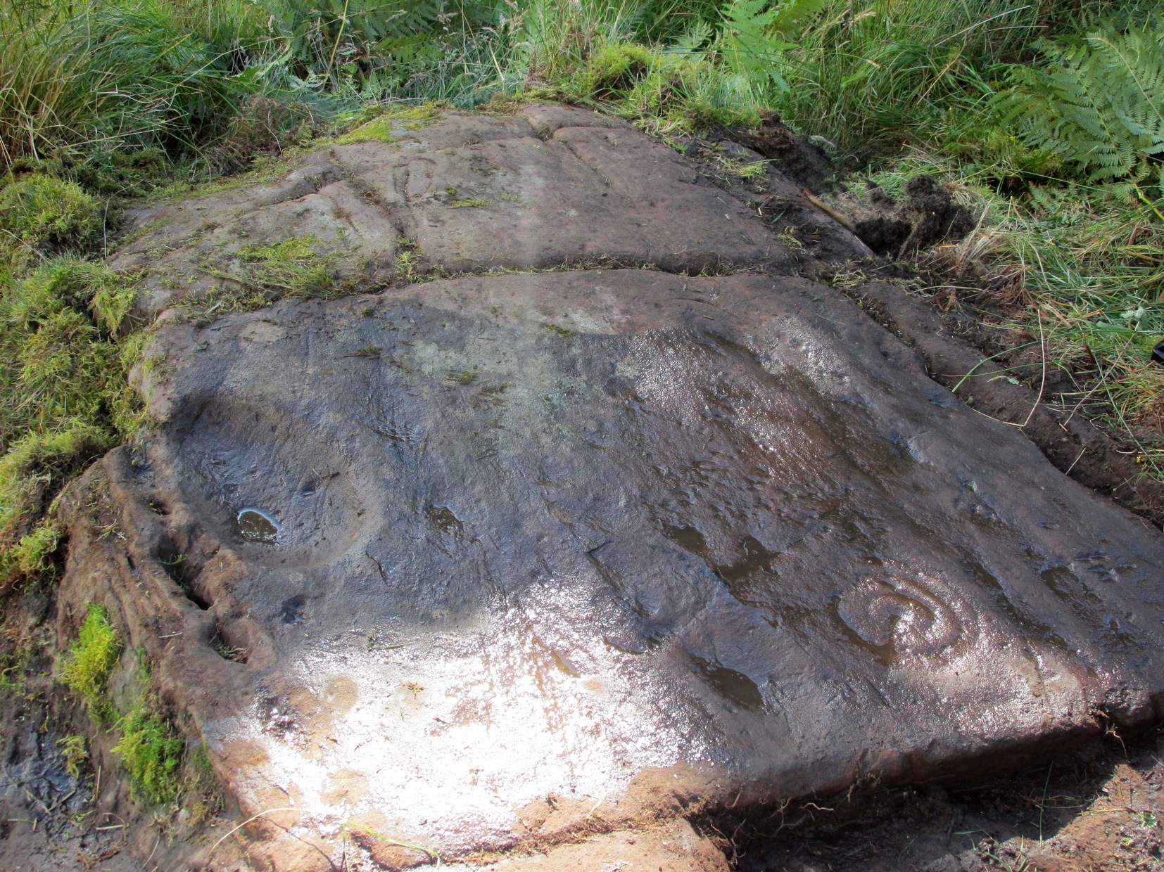
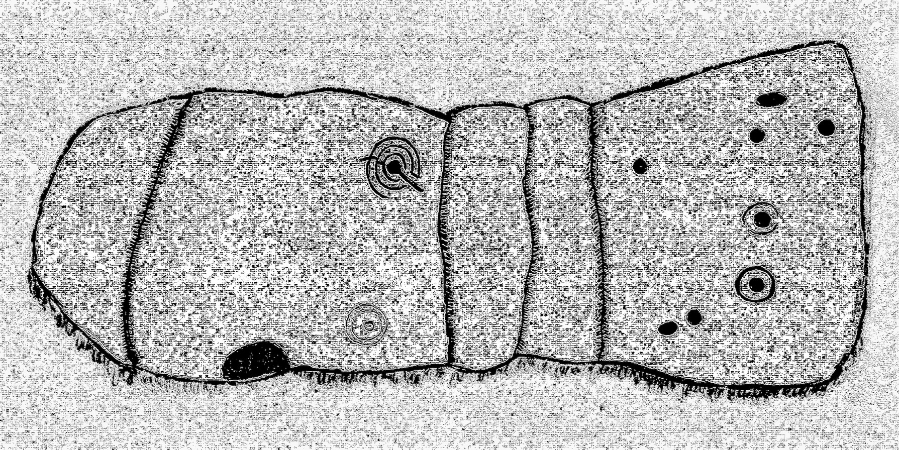
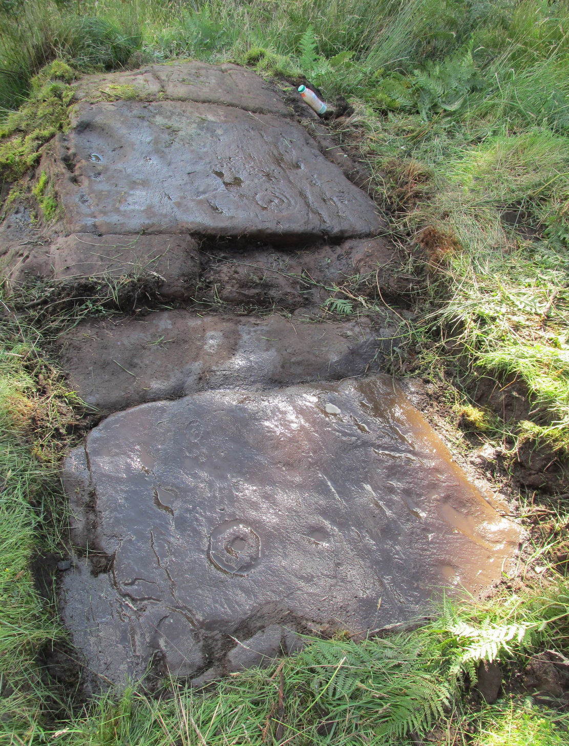
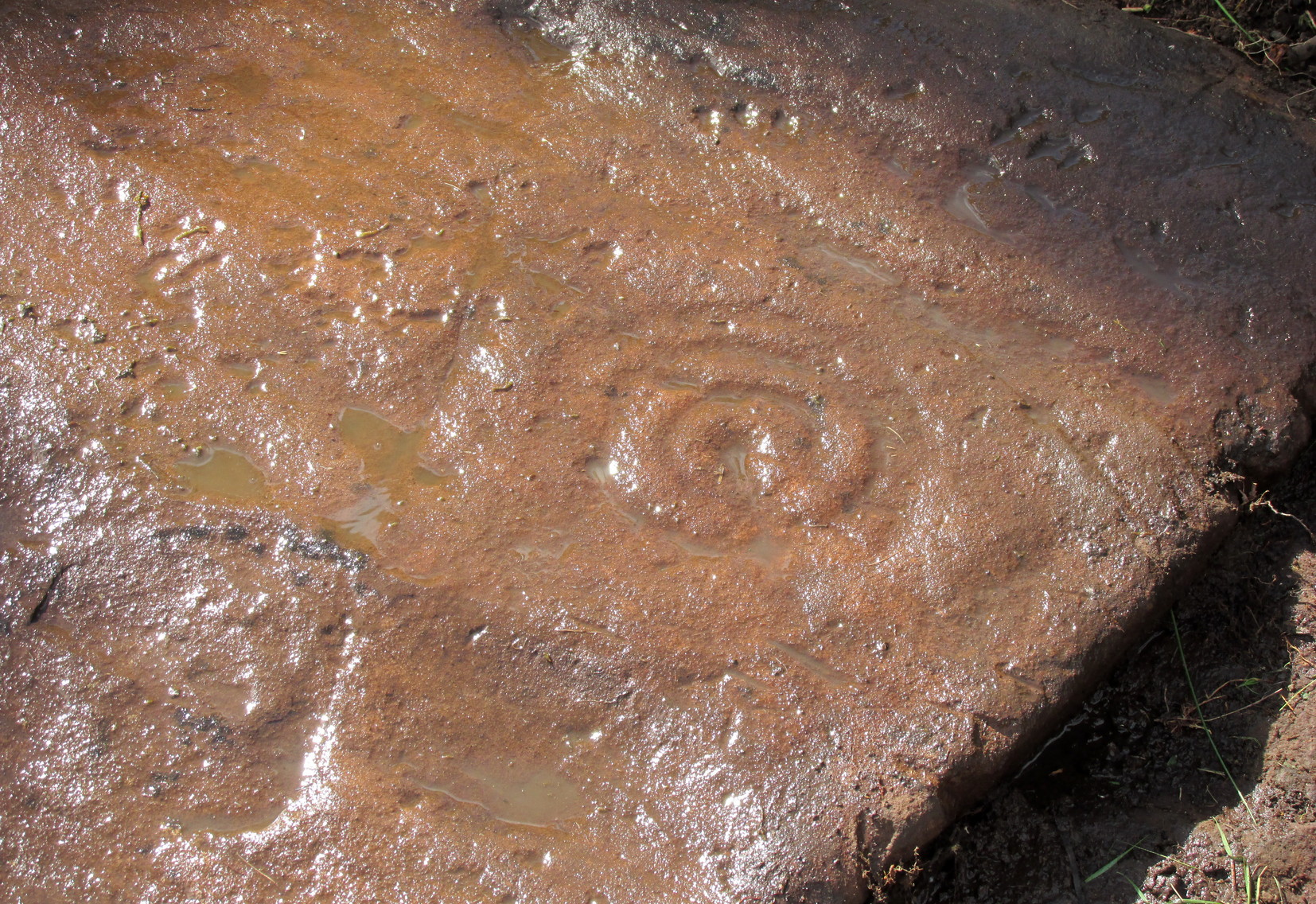
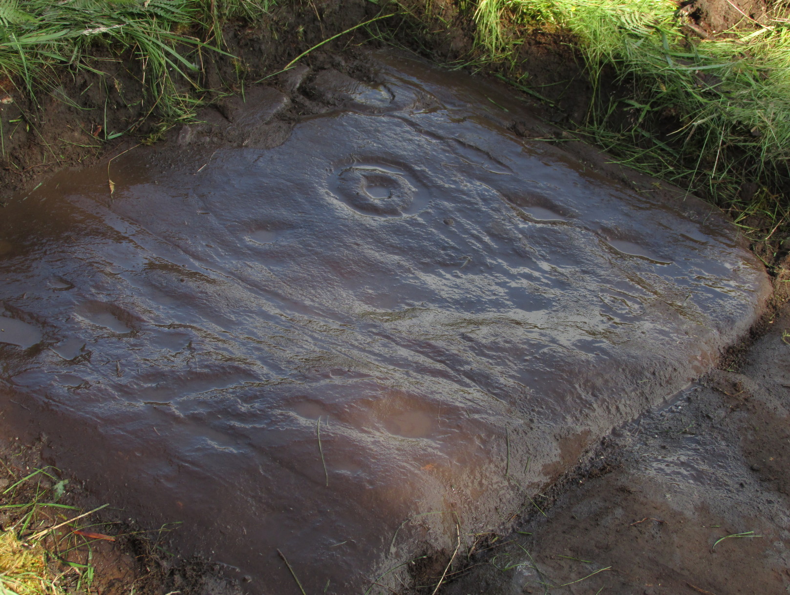
When you consider there are multiple-ringed carvings close by on the same geological ridge as this carving, there’s little wonder this fella hardly gets any attention: the design here is nothing special compared to its close neighbours. That aside: on this small flat surface we have six or seven simple cup-marks; most of them quite small, with the largest of the lot having what looks like a small carved arc around one side of it—although I couldn’t make my mind up one way or the other to be honest. A few more visits might prove more conclusive.
Folklore
The stream at the side of this carving and others nearby—the Allt Coire Phadairlidh, or Padderlie’s Burn—was the haunt of an urisk, who gave his name to the waters. He lived a little further up on the knoll. Several other carvings are just below here. Urisks were plentiful in this area. They are variously described as demonic creatures, referred to by Alexander Carmichael as “a monster, half human half goat, with abnormally long hair, long teeth and long claws.” (teeth aside, that sounds like me! 🙂 ) They mainly live by lonely waterfalls and a small beautiful fall is very close by. They are associated in some places with cup-marked stones, where offerings of milk were made to placate them. In truth, these nature spirits seem to be folk remnants of solitary shaman figures cast into the edges of hills. A local lady who lived in this area said she’d met an urisk near here and he was anything but the fearful creatures they are made out to be…

References:
- Currie, George, “Kenmore: Allt Coire Phadairlaidh (AP1): Cup-Marked Rock,” in Discovery & Excavtion Scotland, vol. 9 (new series), 2008.
© Paul Bennett, The Northern Antiquarian