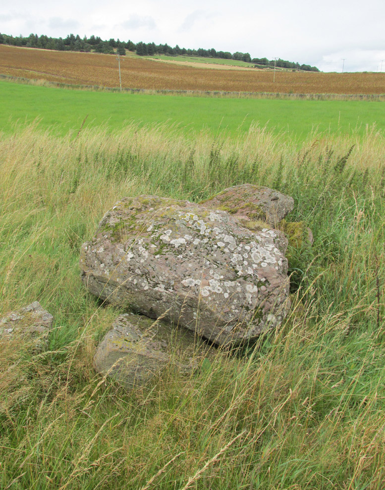
Easter Nether Urquhart Circle, Gateside, Fife

Stone Circle (destroyed):  OS Grid Reference – NO 18873 08865

Also known as:

  1. Canmore ID 27809

Getting Here

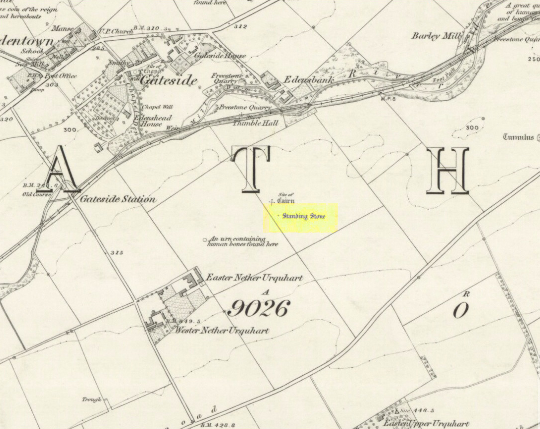
1856 map showing Easter Nether Urquhart remains

Turn off the A91 road at Gateside and go down Station Road, crossing the old railway line at the bottom.  From here, cross the fields to your left and the site of the circle will be found in the field to the north east of Easter Nether Urquhart Farm.

Archaeology & History

Marked on the 1856 6″ Ordnance Survey map as a “standing stone,” earlier references record this as being the survivor of a stone circle.  Not listed in Aubrey Burl’s (2000) magnum opus, this circle was on the edge of the site of a major battle between the Romans and the native defenders, and large amounts of human remains have been found in the vicinity.  Referring to an adjacent cairn, Lieutenant-Colonel Miller wrote in 1829:

“A very fine Druid’s Temple stood on the south side of it, consisting of seven very large stones. All these were blasted with powder and removed, except half the one of them, which still marks the spot.”

Of the same cairn, the Reverend Andrew Small wrote in 1823:

“This cairn stood a little north of an ancient Druids’ temple, only one stone now remaining, out of ten of which it formerly consisted.”

The Ordnance Survey Name Book for 1853-55 imparts the following:

“This standing Stone is about 13 chains on the South side of the River Eden opposite Edensbank but whether it is the remains of a druid’s temple or set up to mark something relative to the battle contested between the Romans and Caledonians according to Messrs. Miller & Small, it is difficult to determine. It stands about 4 feet 10 inches high and its sides are about 2 feet broad…many of the inhabitants consider it to have been a druid’s temple…”
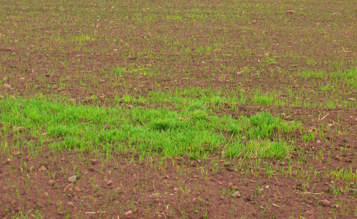
A close-up of the site
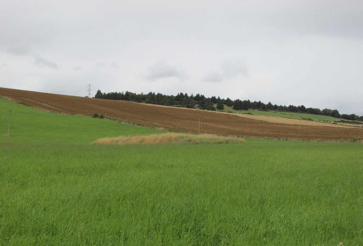
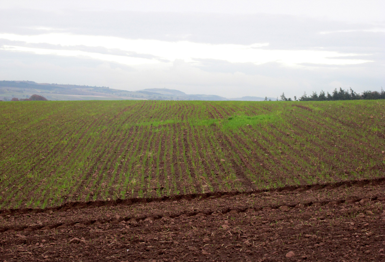
Position of the circle, evident in crop-growth

J.S. Baird of Nether Urquhart informed an Ordnance Survey officer in 1956 that the remaining stone was broken up and removed around 1952, and measured 5 feet high with a girth of 9 feet at the base. Near the top of the stone, on the south-side were two slight cracks weathered to suggest a simple incised cross.

On the day of my November field-visit the winter barley was sprouting and it was interesting to see how much better it was growing at the place where the remaining stone had stood.

A standing stone at Wester Nether Urquhart, rediscovered by Maggie Overett in July 2020, can be seen a half-mile southwest.

References:

  1. Burl, Aubrey, The Stone Circles of Britain, Ireland and Brittany, Yale University Press 2000.
  2. Miller, Lieutenant-Colonel, “An Inquiry respecting the site of the battle of Mons Grampius (Read 27th April 1829 and 25th January 1830),” in Proceedings of the Society of Antiquaries of Scotland, Volume IV, 1857.
  3. Small, Reverend Andrew, Interesting Roman Antiquities Recently Discovered in Fife Ascertaining the site of the Great Battle fought betwixt Agricola and Galgacus, John Anderson & Co: Edinburgh 1823.

© Paul T. Hornby 2016 – The Northern Antiquarian 

Our Lady’s Well, Gateside, Fife

Holy Well: OS Grid Reference – NO 18505 09169

Also Known as:

  1. Chapel Well

Getting Here

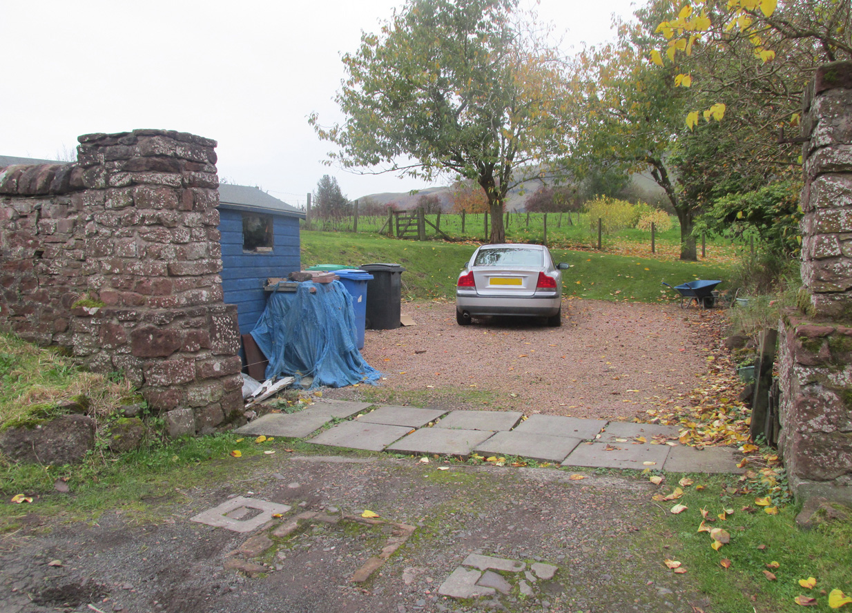
Access to the field - ask at the pleasant house!
Access to the field – ask at the pleasant house!

Travelling from Milnathort on the A91, in Gateside village, turn right down Old Town, and after the left bend in the road, park up.  Access to the field where the Well is situated is through the gate on land next to the easternmost house on the south side of Old Town.  Ask at the house first.  Walk down the field towards the Chapel Den burn, and the ruins of the Well will be seen next to the burn just before the line of bushes that cross the field.

Archaeology and History

In his brief description of Strathmiglo parish, Hew Scott (1925) wrote:

“At Gateside…there was a chapel of St Mary, with Our Lady’s Well beside it.”

It was described in the nineteenth century Ordnance Survey Name Books by an informant:

“A small spring well on the north side of the Mill Dam.  Supposed to have been used in the days of Popery as holy water and for other purposes when the building supposed to have been St Mary’s Chapel was in existence.”

Another informant wrote:

“…a Romish chapel is supposed to have been erected in this village and is borne out in a great measure by names of objects adjoining, namely Chapel Den, Chapel Well.”

And further:

“According to Doctor Small…it is stated, ‘The ancient name of this village called in old papers the Chapelton of the Virgin, changing its name at the Reformation.'”

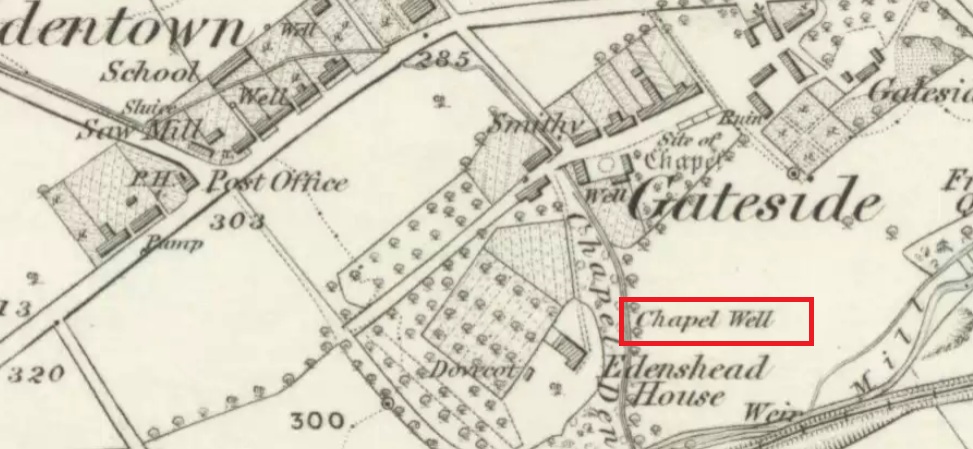
Shown as Chapel Well in 1856

This latter statement would seem to imply that the part of modern-day Gateside south of the main road (the north side was known as ‘Edentown’) was a pilgrimage centre of the Cult of the Virgin.  The chapel was erected by the monks of Balmerino to whom it was known as ‘Sanct Mary’s of Dungaitsyde’.  It was highlighted as the Chapel Well on the 1856 OS-map.

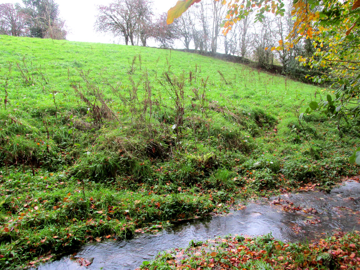
The ruined Well from across the burn
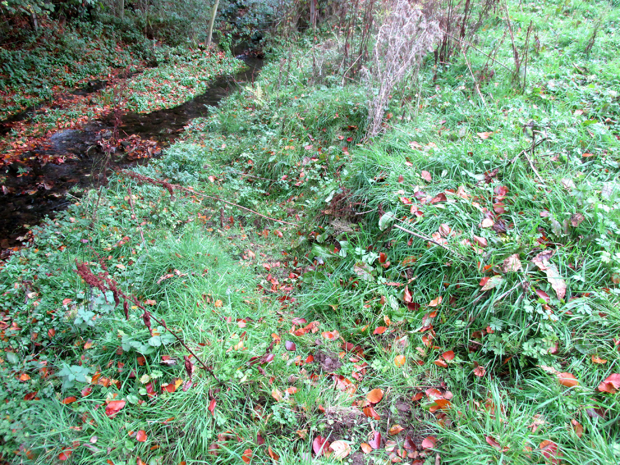
Nature takes back the ruined masonry at this magickal spot

While no trace of the chapel remains, the Well is evidenced by some low ruins of what had once been a red sandstone structure, and it was just possible to make out in the field the line of the pilgrim’s path to the well. But what a lovely serene place next to the burn! An ideal spot to meditate or daydream… The spring no longer flows, and a manhole in the field probably indicates the water supply has been diverted, perhaps to serve the long since closed Gateside Distillery?

References:

  1. Scott, Hew, Fasti Ecclesiae Scoticanae – Volume V, Oliver & Boyd: Edinburgh 1925.

Links:

  1. On Canmore

© Paul T. Hornby 2016 The Northern Antiquarian 

Dunruchan Hill, Muthill, Perthshire

Standing Stone:  OS Grid Reference – NN 8022 1645 

Getting Here

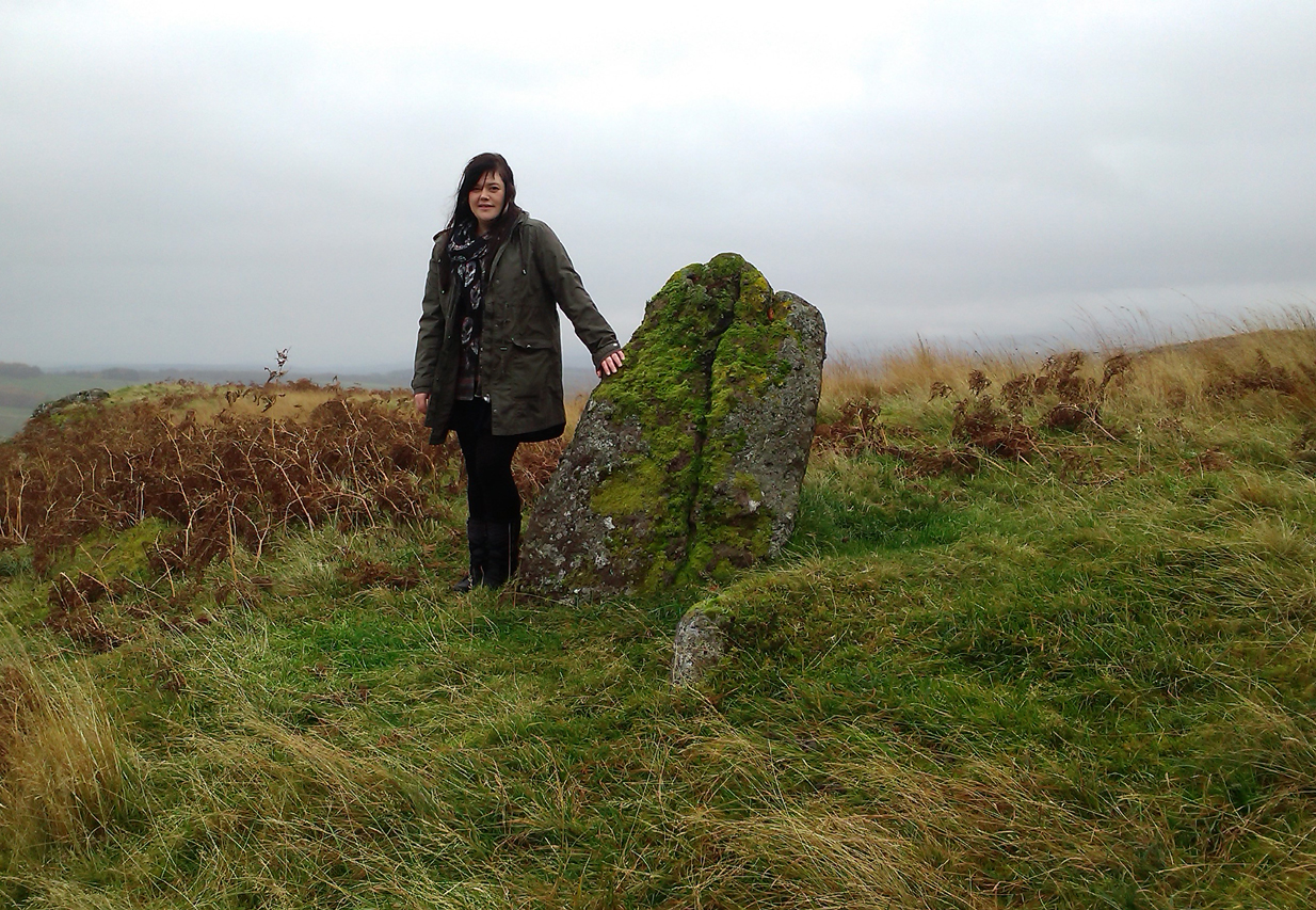
Lisa standing with the old stone
Lisa with the old stone

Take the directions to the hugely impressive Dunruchan A standing stone.  Walk directly south, over the gate and follow the fence straight down the fields, crossing the burn at the very bottom. Walk over the boggy grassland and start veering uphill, southeast.  You’ll notice the land goes up in geological ‘steps’ and, a few hundred yards up, a small standing stone pokes up on the near skyline ahead of you.  Head straight for it!

Archaeology & History

This small standing stone was first noted after a quick visit to the major Dunruchan megalithic complex in the summer of 2016.  Photographer James Elkington was taking images of the landscape and the standing stones when he noticed a stone on the horizon a half-mile away.  As we were in a rush, he took a couple of photos from different angles on the way back to the car—both of which looked promising.  And so, several months later, we revisited the site again.  Lisa, Paul and Mr Fukner and I meandered up the geological steps of the hillside until we reached the site in question.

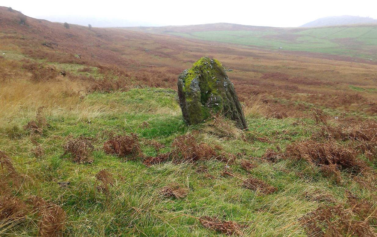
Looking northwest
Looking northwest
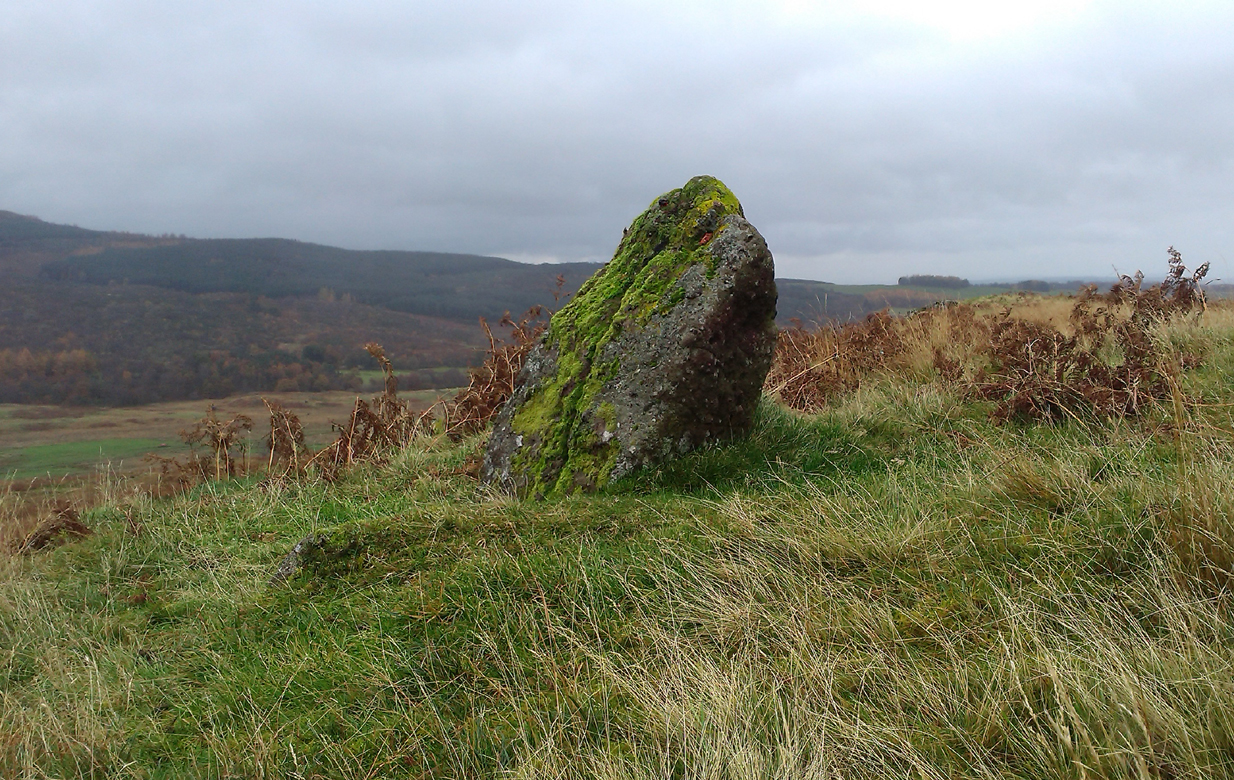
Looking northeast
Looking northeast

Standing just over four-feet tall, this solitary stone overlooks the megalithic Dunruchan complex a half-mile or so to the north and northwest.  Like the Dunruchan C monolith, this smaller upright is conglomerate stone.  Paul Hornby noted what may be a single cup-marked stone roughly 100 yards east along the same ridge. (Please note that the grid-ref may be slightly out by perhaps 50 yards or so at the most. If anyone visits and can rectify my ineptitude on this matter, please let me  know.)

© Paul Bennett, The Northern Antiquarian 

Grey Stone, Newsholme Dean, Oakworth, West Yorkshire

Cup-Marked Stone:  OS Grid Reference – SE 00621 40841

Also Known as:

  1. Carving no.2 (Boughey & Vickerman)

Getting Here

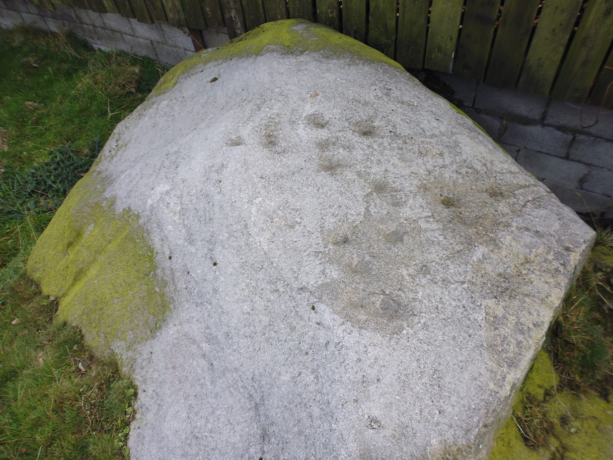
Grey Stone, Newsholme Dean

Take the same directions as if you’re visiting the Cob Stone Field carving; but instead of going into the field on your right, walk down the track about 100 yards towards the large barn below.  As you walk down keep your eyes peeled to the field on your left and, right up against the wall of the barn, you’ll see a large boulder resting quietly. That’s what yer after!

Archaeology & History

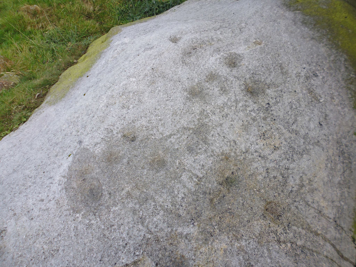
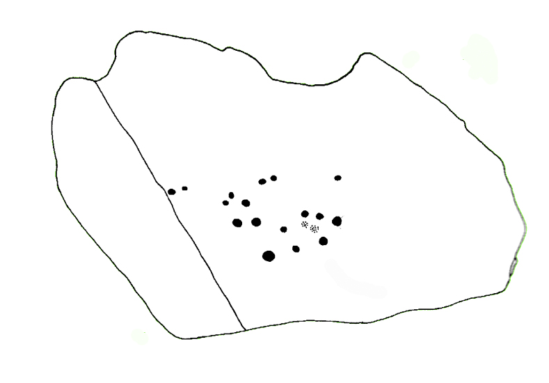
This large faded cup-marked rock whose western side has been split off in recent years, has a scatter of “up to 21 small shallow worn cups” on its upper surface.  They can be difficult to see in some light, but they’re definitely there (as Ray Spencer’s photos clearly show), fading slowly into Nature’s winds and storms.  A couple of ‘lines’ running down the edge of the stone are  due to modern farm-workings.

Close-up of the cups
Sketch of the design

Several other rocks in this and adjacent fields have what may be faded remains of other cup-markings, but without guidance from a geologist or a stone-mason, we can’t know for sure whether they’re authentic or not.  It’s likely that there are other authentic carvings hiding in this area—they just need sniffing out!

References:

  1. Boughey, Keith & Vickerman, E.A., Prehistoric Rock Art of the West Riding, West Yorkshire Archaeology Service 2003.

Acknowledgements:  Huge thanks to Ray Spencer for us of his photos in this site profile. Thanks Ray.

© Paul Bennett, The Northern Antiquarian 

Picketts Beck East, Askwith Moor, North Yorkshire

Cup-and-Ring Stone:  OS Grid Reference – SE 1708 5054 —  NEW FIND

Getting Here

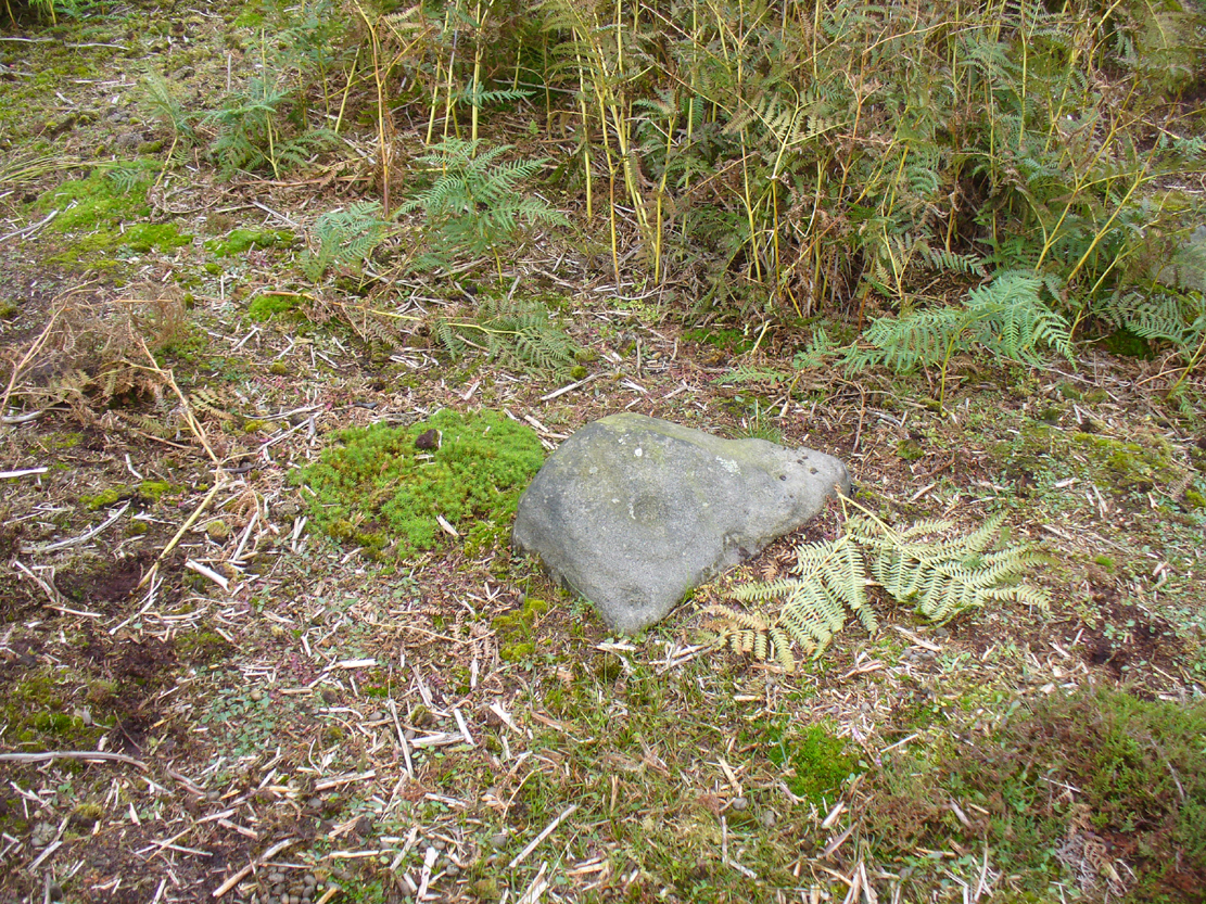
Cup-and-ring stone in situ

From the Askwith Moor Road parking spot, head across the road and take the directions to the Woman Stone carving about 510 yards (467m) across the moors to the west.  From here, look straight down the slope and head towards the largest boulder at the bottom, 20-30 yards away.  About 10-20 yards to the right of this, zigzag about in the vegetation until you find the small stone amidst the bracken.  You’ll find it!

Archaeology & History

This small stone, whose natural contours and cracks have been utilised in the design of the petroglyph, may once have been part of a prehistoric tomb, perhaps rolled or thrown downhill from the nearby Askwith Moor Cairnfield.  I say this due to the size and portability of the stone, i.e., it’s small and barely earthfast, giving an increased likelihood that its present position was not its original one.  But we might never know…

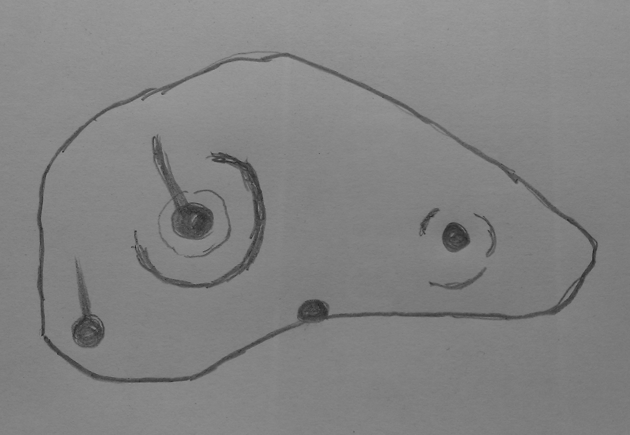
Rough sketch of the design
Close-up of the carving

It’s almost archetypal in design, being a primary cup-and-ring, with what appears to be a faint inner ring etched marginally within the larger notable incomplete circle, just an inch beyond the inner central cup.  From this same cup runs a carved line, out to the near edge of the small stone.  Single cup-marks occur on the edges of the rock, as can be seen in the photos: three, possibly four of them.  One of the cups, where the stone narrows to a rounded point, may also have had a partial ring around it.  When we found this stone a few weeks ago, the day was grey and overcast and the light was poor, so our photos do not highlight the carving too well.

(Note: the OS grid-reference for this stone is an approximation: pretty damn close, but not close enough. If someone ventures here and can get the exact grid-ref, we’d be most grateful.)

© Paul Bennett, The Northern Antiquarian 

Wester Cairnfield (02), Askwith Moor, North Yorkshire

Cup-Marked Stone:  OS Grid Reference – SE 1698 5070

Getting Here

Faint cupmarks clearly visible

From the Askwith Moor Road parking spot, head west to the Askwith Moor cairnfield. Keep walking west, going downhill past the main cluster of rocks.  If you begin zigzagging amidst the heather hereby, you’ll eventually come across this relatively small stone which, even when the heather is deep, thankfully rises to the surface.  The Wester Cairnfield 1 carving is close by.

Archaeology & History

Although I presumed that Graeme Chappell and I found this petroglyph when we surveyed the area in the 1990s, I cannot find an early account of it in my files, so must presume that when James Elkington, James Turner and I came across it a few weeks ago, it was the first view of the stone in many a century… It’s another simple carving, only of interest to the mad rock art hunters out there.

...and from another angle
…and from another angle

When we first found it, it seemed to me (with the sunlight effects on the stone) that two cup-marks had been etched here; but as Mr Elkington pointed out, from the angle he was looking at the stone, there were another two.  He was right.  But it’s nothing special to look at, sadly, and is probably only of interest to the real hardcore petroglyph nutters amongst you. (please note that the grid-ref for this carving needs revising and may be 50 yards either side of the one given)

© Paul Bennett, The Northern Antiquarian 
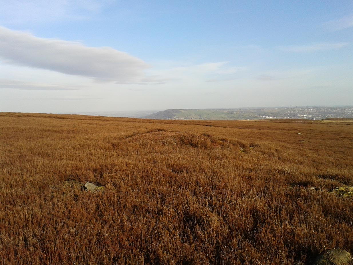

Wester Cairnfield (01), Askwith Moor, North Yorkshire

Cup-Marked Stone:  OS Grid Reference – SE 16966 50674

Getting Here

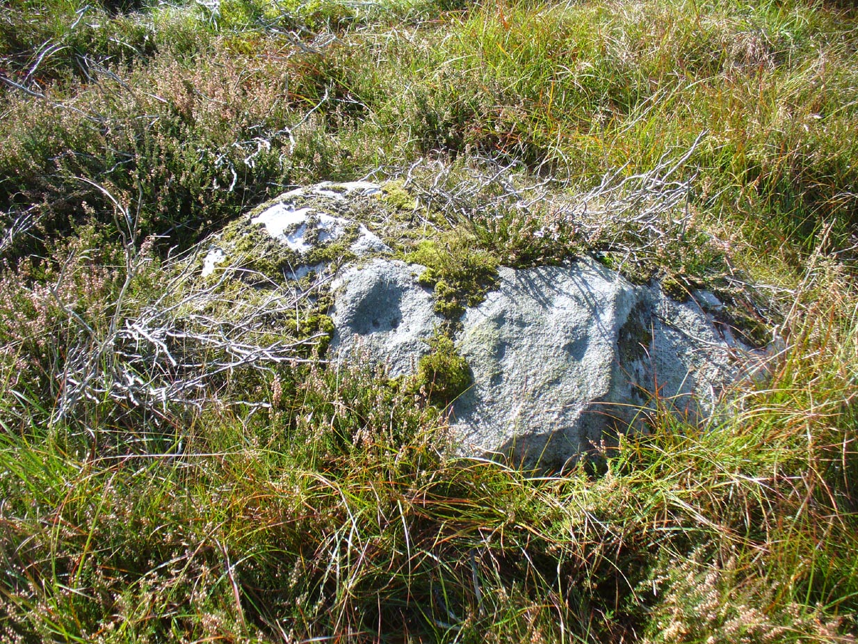
Cup-mark near top-right

From the Askwith Moor Lane parking site, take the directions to the Askwith Moor Cairnfield.  Walk westwards for about 100 yards down the gradual slope, towards the boggy land below, but before reaching the reeds, still in the moorland heather, there are a scatter of rocks.  Just keep zigzagging about until you find it. It’s a reasonably large stone.

Archaeology & History

'Cup mark' on vertical face
‘Cup mark’ on vertical face

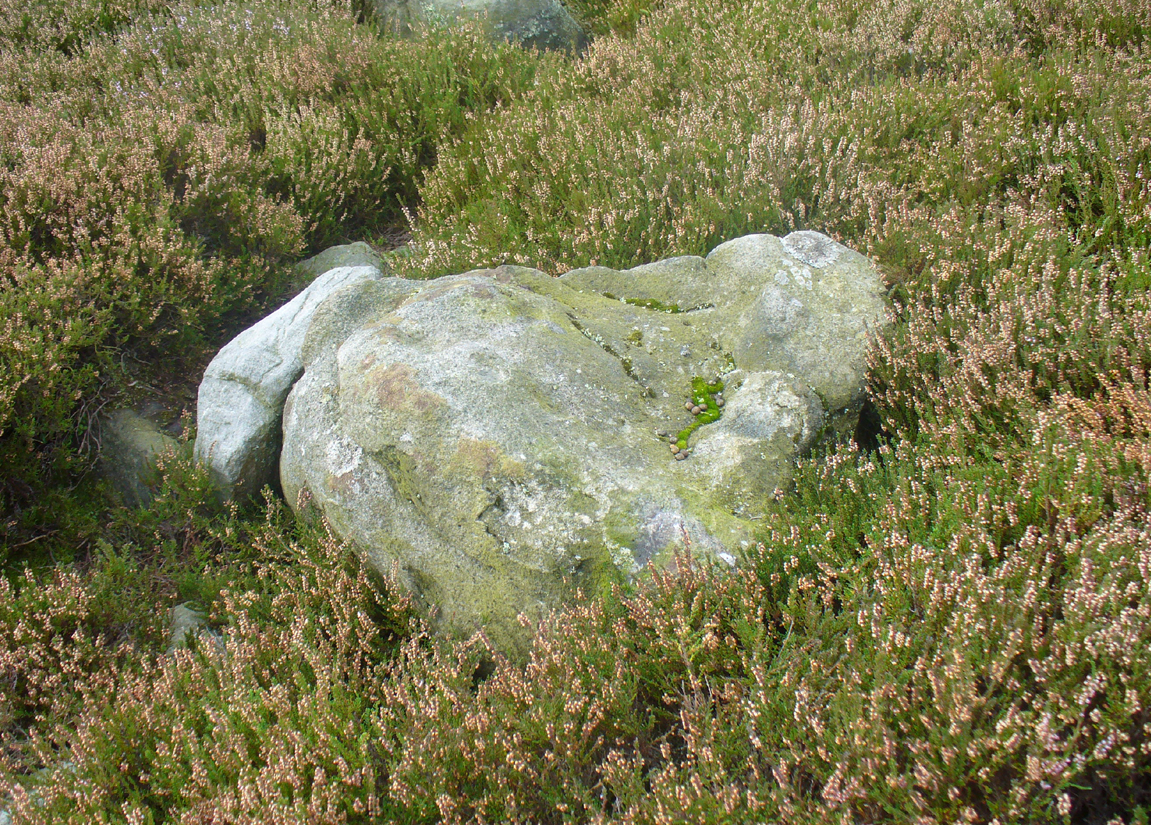
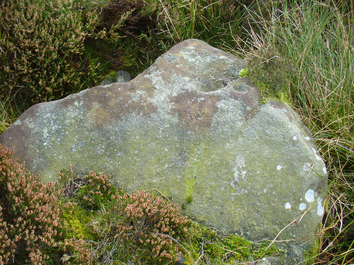
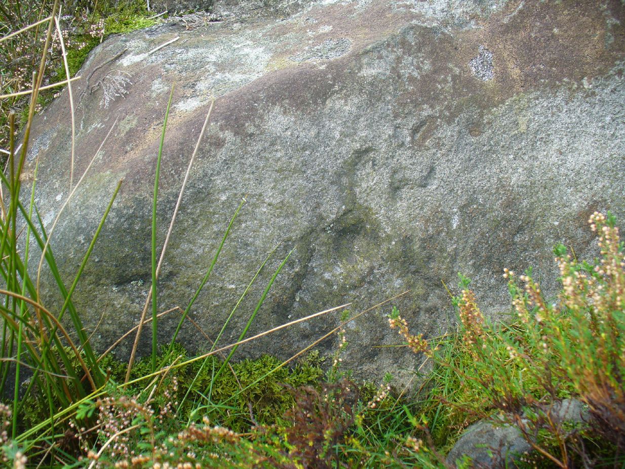
This is one of several simple cup-marked stones found down the slopes about 100 yards west of the Askwith Moor Cairnfield.  When James Elkington, James Turner and I re-surveyed this area again recently, I wondered whether it was a newbie or had already been located when Graeme Chappell and I did our tedious surveying of this region in the 1990s—and it turned out that we did!  The carving is nothing special to look at, even if you’re a petroglyph zealot.  Comprising of a distinct single cup-mark on the top nose of the rock, another is visible on the vertical south face, and another possible is on its eastern face.

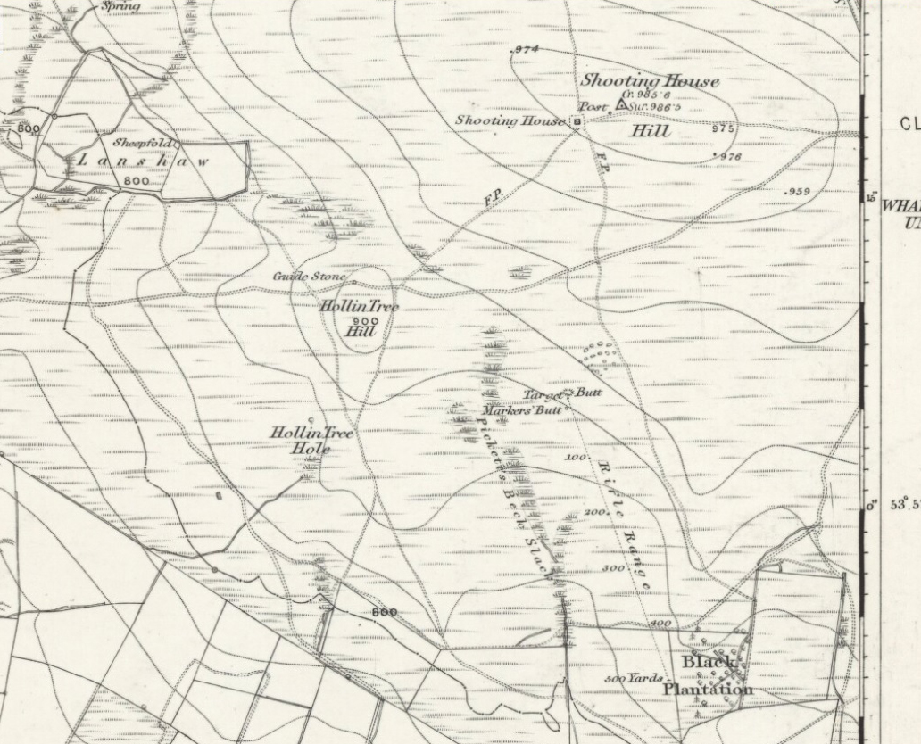
1894 map of shooting target

When we look at the early maps of this area, we find that to the north and south of this stone once existed ‘Shooting Houses’.  As we can see on the attached map, the position of one of the shooting targets is very close to the location of this stone and so we must conclude that the cups on the vertical face were done by gunshot and are not prehistoric. However, the distinct cup on top of the stone retains its prehistoric link.

© Paul Bennett, The Northern Antiquarian 

Hawksworth Moor Cairnfield (01), West Yorkshire

Cairns:  OS Grid Reference – SE 140 443

Getting Here

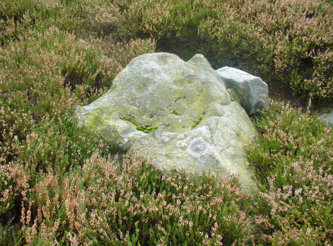
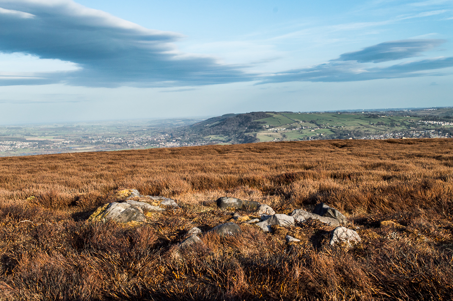
One of Hawksworth Moor's cairns
One of Hawksworth Moor’s cairns, looking west

Take the same directions as if you’re visiting the Great Skirtful of Stones giant cairn on the boundary of Burley and Hawksworth.  Cross the wire fence on its southern-side and, cross the (usually overgrown) prehistoric trackway 50-60 yards away.  Keep in the same direction onto the pathless moor for about the same distance again, zigzagging back and forth, keeping your eyes peeled for some small overgrown rocky rises.  You’ll find ’em.

Archaeology & History

Not to be confused with the much larger Bronze Age graveyard further south on the same moorland, this little-known prehistoric cemetery has had little of any worth written about it since the 19th century and—like many sites on these moors—has received no modern archaeological attention.

Close-up of one of the cairns
Two of the cairns, looking NW

On my last visit to this site with James Elkington in 2015, only four of the heather-clad cairns were visible; but if you explore here after the heather has been burned away, a half-dozen such tombs are found in relatively close attendance to each other.  They are each about the same size, being roughly circular and measuring between 3-4 yards across, 10-12 yards in circumference and a yard high at the most. As you can see in the attached images, they are quiet visible even when the heather has grown on them.

Another cairn in this group

This small cairnfield may stretch across and link up with the secondary cairnfield a half-mile to the southwest.  More survey work is required up here.

As with the circle of Roms Law and the Great Skirtful of Stones, this relatively small cluster of cairns seems to have had a prehistoric trackway approaching it, running roughly east-west.  A short distance west are the much-denuded waters of the Skirtful Spring.

References:

  1. Bennett, Paul, The Old Stones of Elmet, Capall Bann: Milverton 2001.
  2. Faull, M.L. & Moorhouse, S.A. (eds.), West Yorkshire: An Archaeological Guide to AD 1500 (4 volumes), WYMCC: Wakefield 1981.
  3. Wardell, James, Historical Notes of Ilkley, Rombald’s Moor, Baildon Common, and other Matters of the British and Roman Periods, Joseph Dodgson: Leeds 1869. (2nd edition 1881).

Acknowledgements: Huge thanks to James Elkington for use of his photo in this site profile.

© Paul Bennett, The Northern Antiquarian
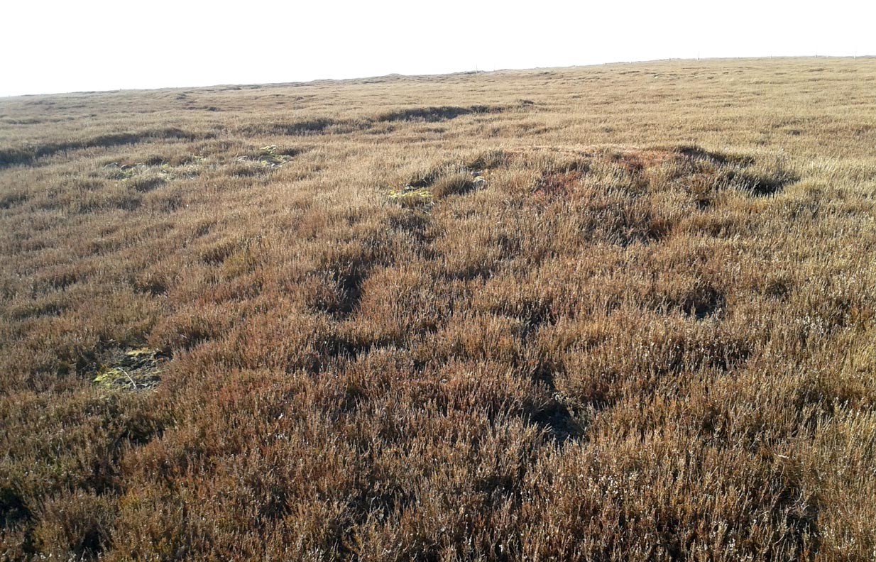

Stanbury Hill North, Bingley Moor, West Yorkshire

Cup-Marked Stone:  OS Grid Reference – SE 1097 4339

Getting Here

Stanbury HIll cup-marked rock

Take the directions as if you’re visiting the ornate petroglyphs known as the Lunar Stone and the Spotted Stone. Walk past them and down the slope, NW, as if you’re heading to the small valley a few hundred yards away. As you reach the bottom of the slope, closer to the stream, a large boulder catches your attention. This carved stone is just a few yards before you reach it.

Archaeology & History

This simple cup-marked design below the northern slope of Stanbury Hill has, on its northeastern sloping face, a single cup-mark; then, past a curiously-etched line (probably more recent) is a larger circular feature, like a very shallow ‘bowl’ as in the one found in the superb Stag Cottage petroglyph complex 300 miles north (and several other carvings). A few yards away, a large single cup-mark has been etched onto another stone.  As with quite a few carvings in this region, they have been missed in the standard archaeocentric surveys.

© Paul Bennett, The Northern Antiquarian
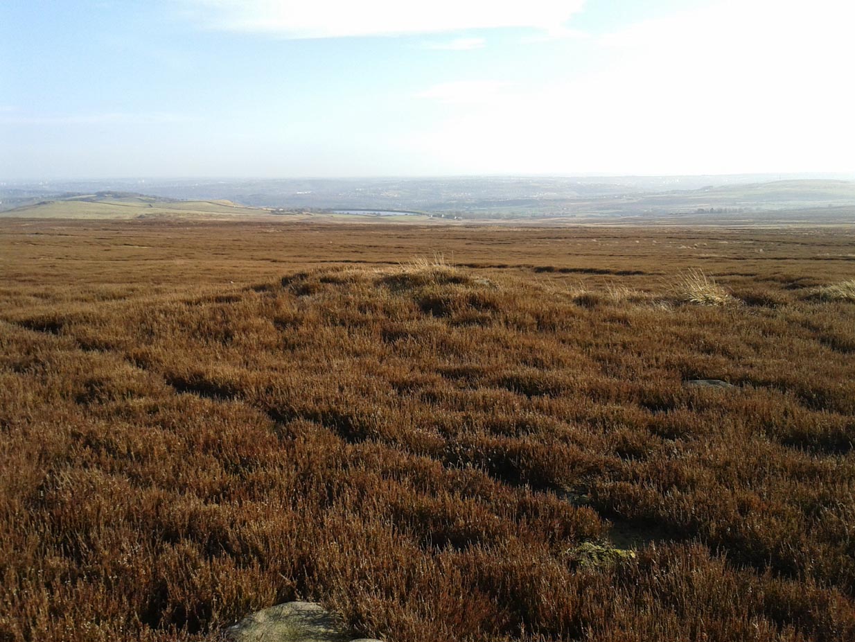

St. Medan's Knowe, Kirkton of Airlie, Angus

Cairn:  OS Reference Number – NO 32021 52100

Also Known As:

  1. Battle Cairn
  2. Canmore 32360
  3. Cantsmill
  4. St. Madden’s Knowe

Getting Here

St Medan's Knowe, from the W
St Medan’s Knowe, from the W

At Kirkton of Airlie, park next to the church and walk north eastwards along the track, past the houses Crabra and Cleikheim, and cross the burn by the small bridge and the mound will be seen ahead of you in the field.

Archaeology & History

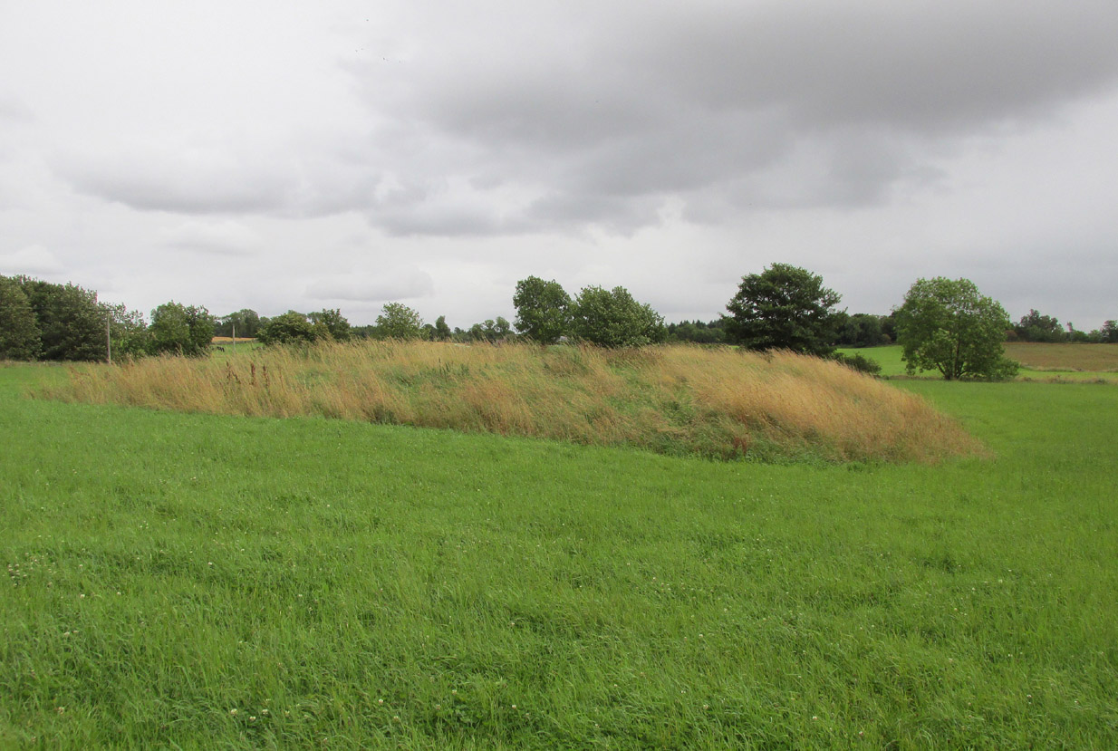
A largely flat topped, rectangular mound, measuring, according to Canmore,  28 metres by 22 metres, 2.2 metres high on the west side and about ½ metre high on the east side. There is a quantity of rubble strewn on the top among which are two stone slabs, described in 1958 as being possible cist cover stones. The site has clearly suffered considerable disturbance.

The site highlighted in red on the 1865 6" OS Map.
The site highlighted in red on the 1865 6″ OS Map.
The site from the north

Andrew Jervise, writing of the site in 1864 described it as having been 300′ in circumference and 6-7′ high before the owner started to remove it for agricultural ‘improvements’ around 1859. He described it as being sometimes known as the ‘Battle Cairn’. As part of the demolition of the mound, agricultural workers in October 1859 unearthed a large cinerary urn half filled with human bones and protected by a large sandstone flag.  Jervise writes:

“After the urn was found, care was taken removing other parts of the hillock; and on further reducing the surface, the top of a large boulder was exposed, upon and around which the mass of loose stones and earth appear to have been raised which composed the mound. The boulder, as far as ascertained, measures about 6 by 7½ feet; and the urn was found about four feet to the north east of the stone. At the distance of about four yards from the spot where the urn was found, there appeared to be a separate circle, rudely constructed of stones and earth – stones predominating. In this circle, at pretty regular distances, deposits of human and animal bones were found; and each of these deposits appeared to have been protected by two flat stones set up in a triangular form, resembling (an inverted letter V)…none of the deposits was more than 8″ below the surface”.  In February 1861, “..a stone cist was found a little to the south east of the boulder….it was 5 feet long by 2 in breadth. The lid, a single slab, was upwards of 6 feet in length…the depth of the cist was 2 feet….It was nearly empty, but one could see, from the soft, black, unctuous earth that was taken out of it, that it had contained a body.”

Jervise continues:

“The name of St. Medan’s Knowe is certainly significant, but, whether it would imply that the place had been that of his burial, or one of those of his ministry, and so been the original place of worship at Airlie – are interesting particulars upon which history and tradition are silent”.

Stone slabs on top
Stone slabs on top

The Ordnance Survey Name Books, and the 25-inch OS map of 1865 record the finding, 20 yards to the west of the knowe, of a bronze spear head, which was at that time in the possession of a Mr Dixon, a merchant of Kirriemuir, which may go some way to explaining the alternative name of the site as ‘Battle Cairn’.  The Name Books further record the testimony of a William Duncan that, ‘there have been 7 or 8 stone coffins and an urn found in the knowe, and that he believes a number more might be found if sought for, as the half of it is not yet excavated‘.

From the surviving evidence, it is very likely that Kirkton of Airlie was the centre of a cult of St. Madden (also known as ‘Medan’ and ‘Madan’), with the adjacent Holy Well, the (now destroyed) hamlet of St. Madden’s, and a Dewar’s land occupied by the hereditary custodians of St. Madden’s Bell. This site has no connection with St Medan’s Well at nearby Kirkton of Kingoldrum, that St Medan probably being a St Medana.

References:

  1. Andrew Jervise, Notice of Antiquities in the Parish of Airlie, Forfarshire, Proceedings of the Society of Antiquaries of Scotland, June 1864.
  2. Royal Commission on the Ancient and Historical Monuments of Scotland, The Archaeological Sites & Monuments of Central Angus, Angus District, Tayside Region, HMSO: Edinburgh 1983.
  3. Scotland’s Place Names

© Paul T. Hornby 2016 The Northern Antiquarian