Cairn: OS Grid Reference – NC 73222 62484
Also Known as:
- Canmore ID 6446
- Pict’s House
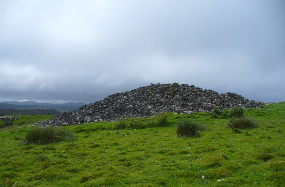
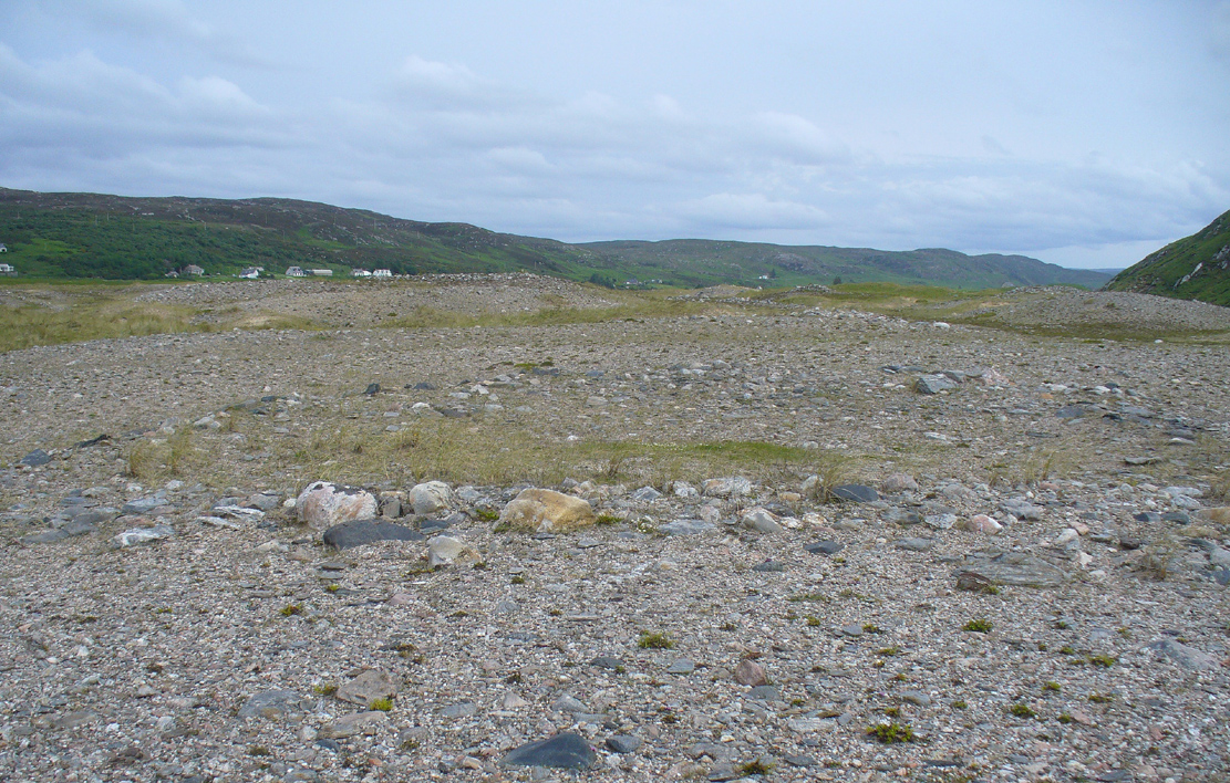
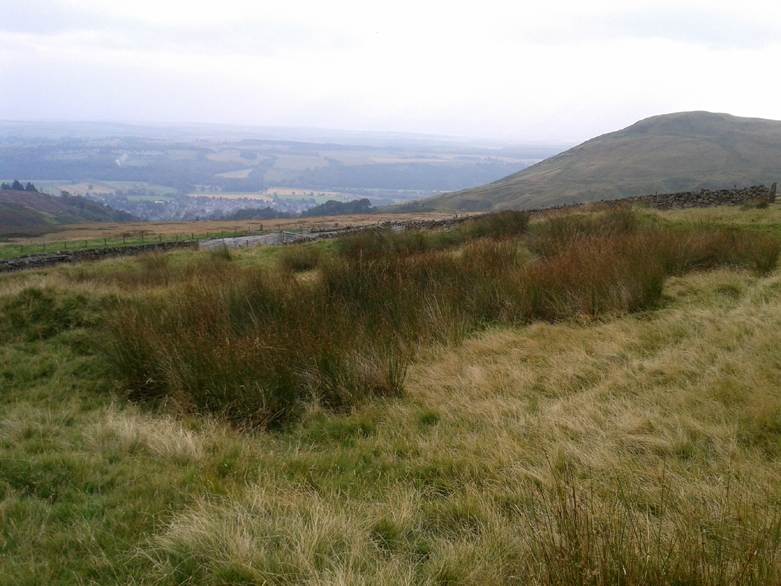
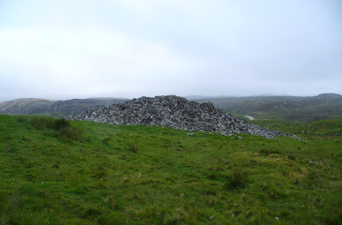
Fiscary 3 giant cairn, looking west
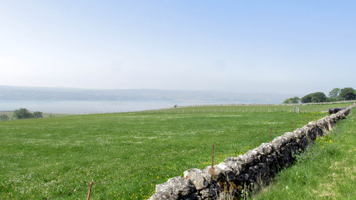
Along the A836 road from Bettyhill to Thurso, a mile east of the village keep your eyes peeled to your left (or to the right if you’re coming the other way!), looking north, and you’ll see some very large piles of stones a few hundred yards away. Go through the gate onto the rough grasslands and the first one you reach is the cairn in question. Y’ can’t miss it!
Archaeology & History
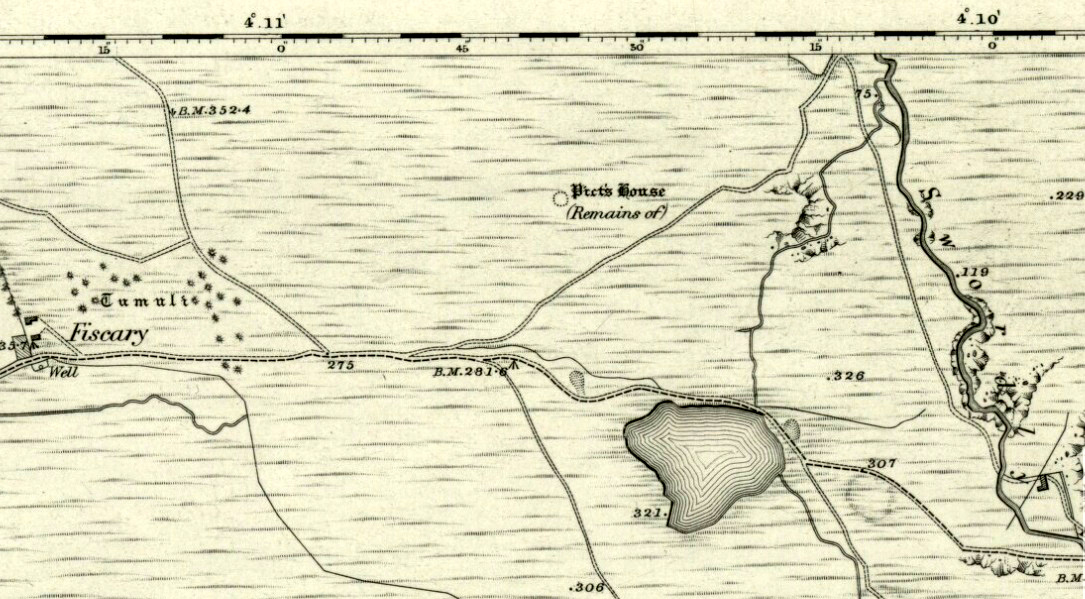
On 1878 OS-map as Picts House
Close to the Fiscary 1 and Fiscary 2 tombs, this is the third and southernmost of the three giant cairns on this moorland hillside and is the second largest of the trio. Curiously it was the only one highlighted by the Ordnance Survey lads in their cartographic analysis here in 1873—they somehow missed the others—when they told it to be a ‘Pictish House’, or broch. A few years later when the Royal Commission (1911) fellas got their noses up here, they said that this,
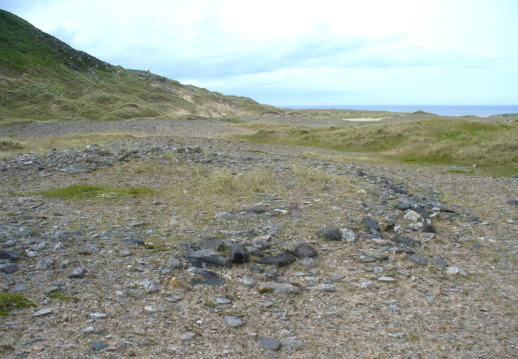
“which is the most easterly, is circular in form, is about 68ft in diameter, and 15ft 6in to the apex, on which a small pile of stones has recently been erected. The cairn does not appear to have been excavated, but the stones in several places have been pulled out, probably in attempts to discover the chambers or in pursuit of rabbits.”
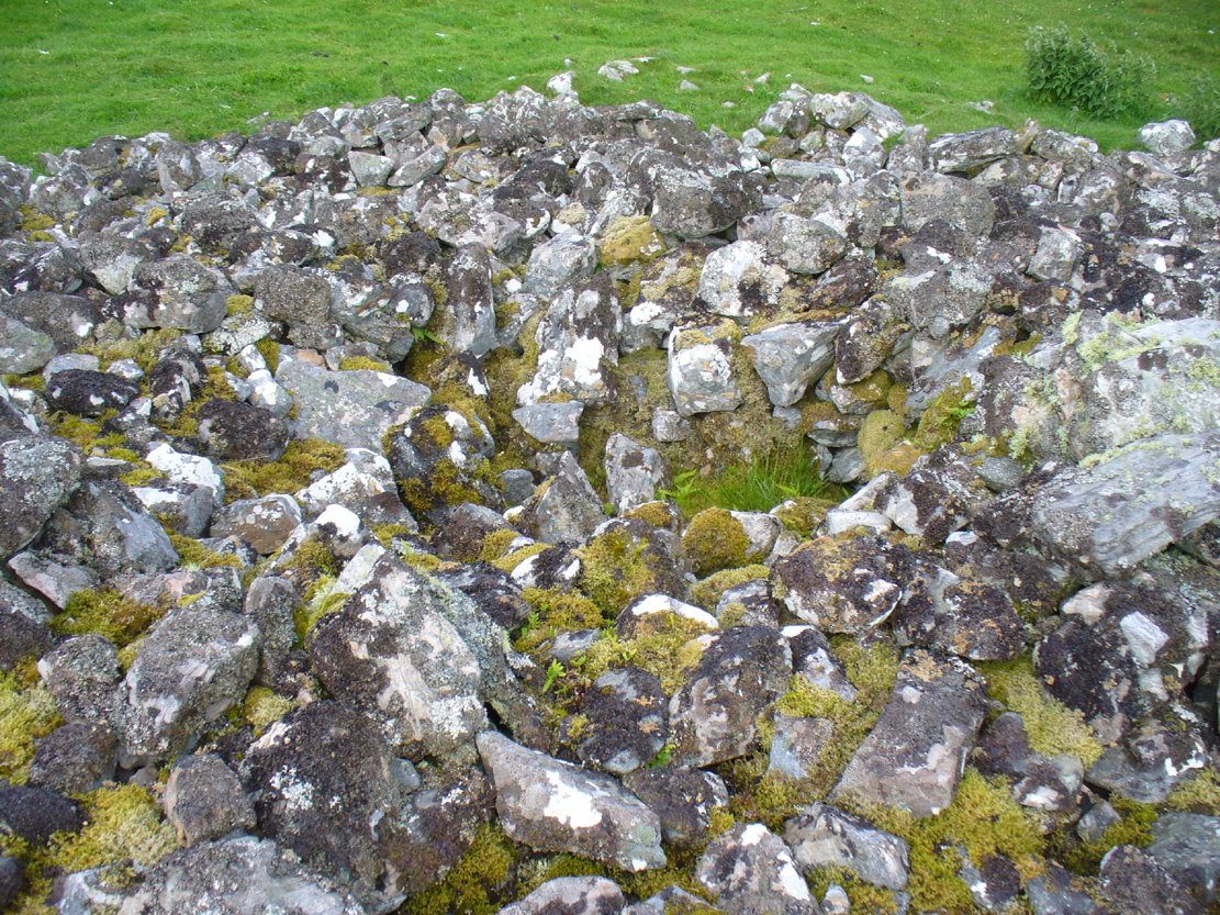
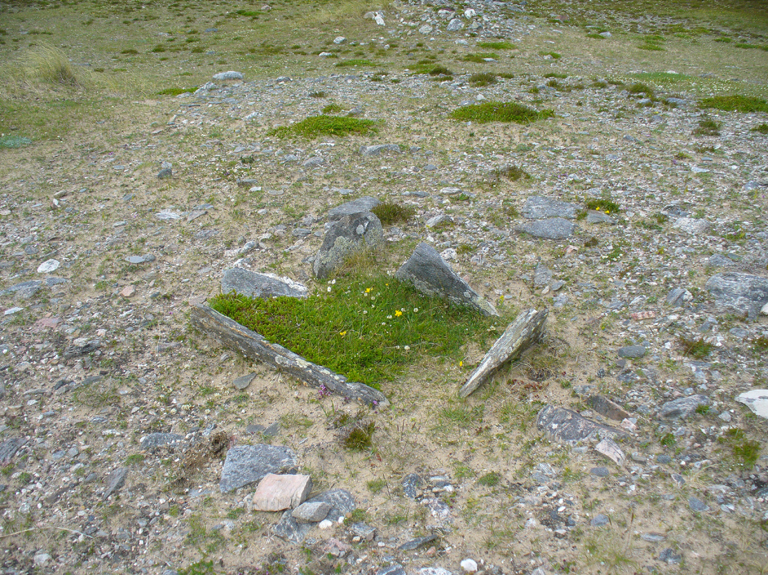
Looking into its centre
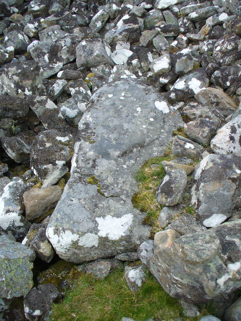
Long stone at southern edge
Considering the size of this giant cairn and its close association with is neighbours 150 yards northwest, I’m surprised at the lack of attention it’s been given. Within the collapse of stones on its southern-side we find an elongated stone which seems to have stood upright at some point in the past, either at the very edge of the cairn, or just inside it. It may even have been a covering stone to a collapsed entrance, but without an excavation we’re not gonna know for certain.
The fact that this cairn is on the slopes south of the crowning cairns of Fiscary 1 and Fiscary 2 implies that this was built some centuries later than them. Also notable here is that the view to the north is blocked and we are instead only looking across a panorama east, south and west.
Folklore
Looking across into the east
Local tradition told that this was a Pict’s house, or broch (it may well have been) and is shown as such on the first Ordnance Survey account of the region in 1878. Otta Swire (1963) told that this landscape was once peopled by giants who made the land and played a part in the creation of some of the giant tombs around here. One time local school-teacher at Bettyhill, Alan Temperley (1977) also told us how the fairy folk lived close to the giant tombs of Fiscary.
References:
- Gourley, Robert, Sutherland: An Archaeological Guide, Birlinn: Edinburgh 1996.
- Henshall, Audrey S., The Chambered Tombs of Scotland – volume 1, Edinburgh University Press 1963.
- Henshall, Audrey S., “The Distant Past,” in The Sutherland Book (edited by Donald Omand), Northern Times: Golspie 1991.
- Henshall, Audrey S., The Chambered Cairns of Sutherland, Edinburgh University Press 1995.
- Lelong, Olivia C., “Writing People into the Landscape: Approaches to the Archaeology of Badenoch and Strathnaver,” University of Glasgow 2002.
- o’ Reilly, Kevin & Crockford, Ashley, What to See Around Bettyhill, privately printed 2009.
- Royal Commission on Ancient & Historical Monuments, Scotland, Second report and inventory of monuments and constructions in the county of Sutherland. HMSO: Edinburgh 1911.
- Sutherland, George, Folk-lore Gleanings and Character Sketches from the Far North, John o’ Groats Journal: Wick 1937.
- Temperley, Alan, Tales of the North Coast, Research Publishing Company: London 1977.
Acknowledgments: HUGE thanks to Aisha Domleo and for getting me up here.
© Paul Bennett, The Northern Antiquarian