From Bettyhill village, take the A836 road east (as if you’re heading towards Thurso) for literally 1½ miles (2.4km) and take the left turn to Farr (signposted). Exactly a mile along, just past the gated house above the road on your right, in the sloping field below it, you’ll notice a seemingly innocuous scatter of stones doing nothing in particular in the grassland. That’s it!
Archaeology & History
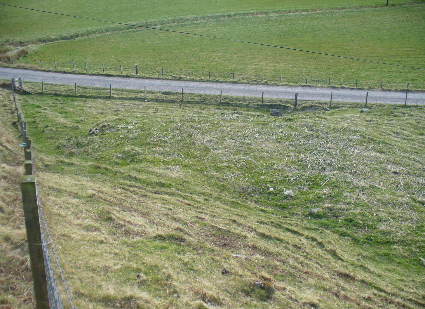
There’s not too much to look at here, apart from a very overgrown mass of loose stones seemingly piled up near the bottom of the sloping hillside. It was first noted when James Horsburgh (1870) explored the prehistoric sites of the region, but even then the site was mentioned with some brevity, telling simply:
“On the way from Farr to Borve Castle, there are the foundations of a Pictish tower at Clarkhill, the stones of which are larger than usual, being square blocks.”
Looking down on the ruins
His description regarding its precise whereabouts wasn’t very clear, but it was located some years later by the Royal Commission (1911) who subsequently added the site to their Inventory. They found that the broch was “at the extreme west end of a low rocky ridge on which are situated the buildings of a croft bearing the name of The Dun.” They reported, even then, that only a few large stones of the broch remained visible. `
The site was included in Euan Mackie’s (2007) magnum opus, where he described the only remains left of this “possible broch” to be “the basal course of the outer wall…forming an arc about 9.0m long.”
MacKie, E W., The Roundhouses, Brochs and Wheelhouses of Atlantic Scotland c.700 BC-AD 500 – volume 2, British Archaeological Report: Oxford 2007.
Royal Commission Ancient & Historical Monuments, Scotland, Second Report and Inventory of Monuments & Constructions in the County of Sutherland. HMSO: Edinburgh 1911.
Acknowledgements: With thanks to the old crew of Aisha and her little Lara for getting me up here, oh so many years ago now…..
Take the A836 road west through Bettyhill and downhill, turning right and going over the small bridge at the bottom. From here, go over the gate on the right-hand side of the road and follow the edge of the river towards the sea. Crossing the large extensive sands, you’ll reach a large rise ahead of you and, to the left (west) a burn tumbles down from the hills above. Walk up it and head to the rocky rise on the level 50 yards past the burn. You’re here!
Archaeology & History
Once you’ve clambered the rocky hill to reach the broch, you’ll be damn impressed. This is a real beauty – although from the outside it looks nothing of the sort. The outer wall is a veritable jumbled mass of rocks piled on top of each other in a manner that looks as if human hands once fumbled them in some sort of order, long since fallen away. Around the western side of the structure, faint remains of steps lead up towards more ordered-looking walling ahead of you. Before you walk up the remains of steps, notice the more structured walling, about three feet high to your right, curving around the large structure you are already inside the edges of.
Whether you walk up the stepped remains or simply up the outer walling, once you see the internal stone walling of this high cliff broch, you’ll be impressed. It’s a big bugger – and in damn good condition when you consider that it’s probably 2000 years old, or more! A large round walled structure, about three feet high all round, well sheltered from the wind and rains, measures some 30 feet across.Arc of outer western wall
The internal living quarters
Eastern section of the broch
The site is still known by some local people as a “Pictish Tower” and was described as such on the 1878 Ordnance Survey map (see above) and its Gaelic name is Ca an Duin(Mackay 1906). The probability of the brochs as being Pictish in origin is more than likely. Tradition up here speaks of them as such – and we know that such traditions go back many centuries in these isolated areas. An early mention of this Pictish Tower was given in James Horsburgh’s (1870) essay, but it wasn’t described in any real detail until the Royal Commission (1911) fellas looked at the site. They wrote:
“On the summit of the hill which rises to the W of the gravelly plateau opposite Bettyhill, and on the N side of the track which leads from Strathnaver to Torrisdail, is situated a broch. It is called the “Sandy Dun”. The wall is probably erect for a considerable height, but the interior is largely filled up with blown sand. The entrance is from the SW. The interior diameter is 29 feet and the thickness of the wall 12 feet. Near the top of the wall in the interior is a projecting ledge, about 10 feet wide, running all around. The slabs which form it are an integral part of the structure and the wall is thicker below than above. The outer face of the wall is much ruined…”
Gazing NE from inside the broch
Although some of the internal walling has been taken away since the 1911 survey, the interior of the site has been cleaned up by local people and it is presently in a very good condition indeed. The broch may have been built onto an earlier fortified structure, rising above the stunning prehistoric settlements and necropolis on the sandy plateau immediately below. It would make sense – as many earlier Neolithic and Bronze Age remains look up at the prominent rock pinnacle it’s built upon from the sandy plain below, almost as if it was a natural temple in the animistic traditions of the earlier peoples.
If you visit this gorgeous region, the Baile Mhargaite broch should definitely be on your list of sites to see.
Folklore
Old lore told that this broch was attacked by outside invaders many centuries ago. Mr Horsburgh (1870) told that,
“an old woman hid a croc of gold previous to the dun being attacked, and measured the distance from it with a clew of thread.”
MacKie, E W., The Roundhouses, Brochs and Wheelhouses of Atlantic Scotland c.700 BC-AD 500 – volume 2, British Archaeological Report: Oxford 2007.
o’ Reilly, Kevin & Crockfird, Ashley, What to See Around Bettyhill, privately printed 2009.
Royal Commission on Ancient & Historical Monuments, Scotland, Second report and inventory of monuments and constructions in the county of Sutherland. HMSO: Edinburgh 1911.
Acknowledgements: Immense thanks go to Aisha Domleo and Unabel Gordon for their help getting me up here. This site profile would not exist without their encouragement.
The second highest of Wiltshire’s prehistoric camps or hillforts, Martinsell Hill was described as early as the 13th century as ‘Mattelsore’ and was known in local dialect and literary forms as variants around the word mattels, until the 16th century, when the title became altered in literature and for the first time became known as ‘Martinshall’ (and variants thereof), which has stuck ever since. As the etymologists Gover, Mawer & Stenton (1939) proclaimed,
“the first element (mattels, PB) must be associated with the old english name for the camp which stands on top of it: the Mætelmesburg of the Pewsey charter” —
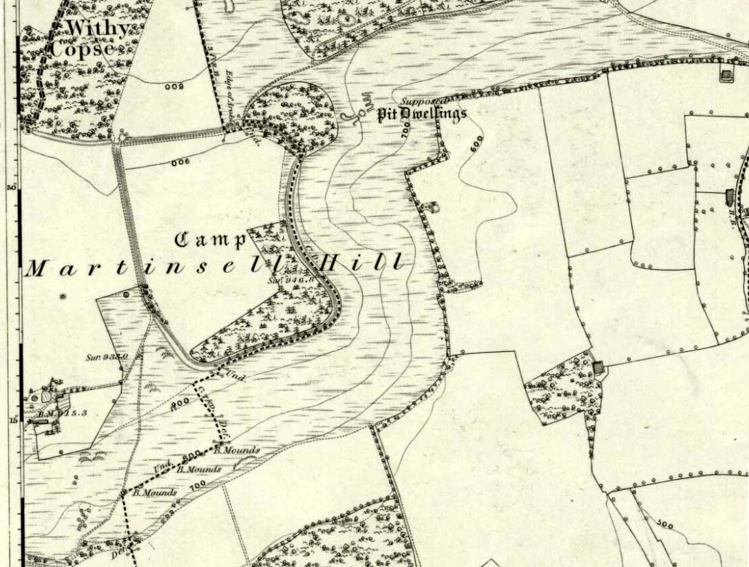
A.C. Smith’s old map
Which the authors think derived from “Mætelmesora, i.e., ‘Mæþelhelm’s bank'”, being the name of a tribal leader or elder who gave his name to the hill upon which the fort was built. Margaret Gelling echoes the sentiment in her Place-Names in the Landscape, but we must keep in mind that such derivation is still a quite speculative etymology and one which doesn’t seem to be able to be proven (as yet!).
The hillfort and its remains were described in some detail in the second volume of Colt Hoare’s classic Ancient Wiltshire (1819: 107), where he wrote:
“Martin’s Hill or Martinshal Hill is in North Wilts what Long Knoll near Maiden Bradley is in South Wilts, ‘collis longe spectabilis’. This elevated point commands a most advantageous prospect of the rich vale that separates the northern and southern districts of our county, , and is rendered interesting to the antiquary by an extensive earthenwork that crowns the summit of the hill. Its form resembles an oblong square on all sides, except towards the east, where it bends inward in order to humour the natural shape of the hill. Its area, which is in tillage, comprehends thirty-one acres; and as several entrances have been made through the ramparts for the convenience of agriculture, it is difficult to ascertain on which side were the original approaches to the camp. This hill, in its formation, presents a peculiarity rather contrary to the usual system of nature, by rising in height towards the east, where a bold and tremendous precipice of smooth turf shelves down from the summit to the base of the hill. This eminence is more remarkable for the rich and extensive prospect which it affords than for the plan of its entrenchments, which consists of a single vallum and fosse. Not having discovered by digging any certain marks of ancient populations within its area, I am inclined to think that it may be considered as an asylum to which the Britons, who were very numerous in its environs, sent their families and herds in times of danger: the single vallum and ditch prove its British origin, and the great extent of its area seems to warrant this conjecture.”
Hippisley Cox’s ground-plan
This aint a bad assumption for a fella who wrote this 200 years ago without the aid of excavation or modern archaeocentric analysis. But we can see that Hoare was utilizing that dying virtue of common sense here, and find that much of what he said remains the echoed narrative of modern archaeologists who, I believe, still aint done a detailed excavation on the site themselves. (weird for down South!) Later in the 19th century, when the reverend A.C. Smith (1885) visited and wrote about the hillfort, he added little to Hoare’s earlier words. And the descriptive narrative of the site remained roughly the same (Massingham’s intriguing ascriptions aside!) even after a small excavation was undertaken in 1907, which found very little. Hippisley Cox (1927) passed this way in his fine travelogue of ancient roads and trackways in Wessex, describing the enclosed top of this hill as
“the site of a complete neolithic settlement, including dew-ponds, a cattle compound, a flint quarry, lynchetts, dicthes of defence and deep cattle tracks formed by much going and coming of beasts from the valley.”
He may have been right! In more recent times Geoffrey Williams (1993) describes the Martinsell hillfort, which again only gives slightly more info than Colt Hoare’s 1819 narrative. The site covers 32 acres in size, is roughly rectangular in form, measuring roughly 330 yards (302m) across east to west, and 480 yards (439m) north to south. There appears to be at least one entrance on its northeastern edge.
Folklore
What seems to be a survival of prechristian sun lore is found in one or two of the events that used to happen upon and around Martinsell. A number of local history books give varying descriptions of the events here, but Devereux and Thomson (1979) condense the information nicely, telling us that
“The camp seems to have been a focus for curious Palm Sunday ‘games’ in past centuries, one of which involved a line of boys standing at intervals from the base to the summit of the hill. Using hockey sticks, they then proceeded to knock a ball in succession up the hill to the top. Another activity was the throwing of oranges down the hill slopes with boys going headlong after them. Evene more strangely, local youths used to slither down the escarpment on horses skulls.”
Mythographer and writer Michael Dames (1977) thought that such festive activities on and around the hill related to remnants of ancient goddess worship here.
Ley line running from Martinsell (image courtesy Paul Devereux)
In Paul Devereux & Ian Thomson’s (1979) ley hunter’s guide, the Martinsell Hill site stands at the beginning of a ley, which then runs northwest for more than seven miles, eventually ending at the well known causewayed enclosure of Windmill Hill — but not before passing by the Avebury stone circle and several prehistoric tombs on route. This ley is a simple alignment between sites (as the ‘discover’ of leys, Alfred Watkins described them) and has nothing to do with the modern contrivance of energy lines.
…to be continued…
References:
Bradley, A.G., Round about Wiltshire, Methuen: London 1948.
Dames, Michael, The Avebury Cycle, Thames & Hudson: London 1977.
Devereux, Paul & Thomson, Ian, The Ley Hunter’s Companion, Thames & Hudson: London 1979.
Gomme, Alice B., “Folklore Scraps from Several Localities,” in Folklore Journal, 20:1, 1909.
Gover, J.E.B., Mawer, A. & Stenton, F.M., The Place-Names of Wiltshire, Cambridge University Press 1939.
Harding, D.W., The Iron Age in Lowland Britain, RKP: London 1974.
Hoare, Richard Colt, The Ancient History of North Wiltshire, Lackington, Hughes, Mavor & Jones: London 1819.
Massingham, H.J., Downland Man, Jonathan Cape: London 1926.
Partidge, T.B., “Wiltshire Folklore,” in Folklore Journal, 26:2, 1915.
Smith, A.C., A Guide to the British and Roman Antiquities of the North Wiltshire Downs, Wiltshire Archaeological & Natural History Society 1885.
Williams, Geoffrey, The Iron Age Hillforts of England, Horace Books 1993.