Fenton Hill, Airlie, Angus

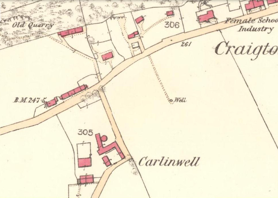
Souterrain (destroyed):  OS Grid Reference – NO 3044 5040

Also Known as:

  1. Airlie II
  2. Canmore ID 32376

Archaeology & History

One in a cluster of at least seven souterrains that could once be found to the east of Alyth, this was first described in notes by David Whyte in the 1845 New Statistical Account as being “about a mile to the south” of those at Barns of Airlie.  Although Whyte told that the two places “are separated by a deep hollow but are within view of each other,” the explorer F.T. Wainwright (1963) was unable to locate the precise spot, despite several visits.  Three earlier writers (Anderson, Jervise and Warden) merely echoed notes of there being a cluster of sites hereby and made no personal explorations of their own.  Without the expertise of local people, the exact status of this underground chamber remains unknown…

References:

  1. Anderson, Joseph, Scotland in Pagan Times – volume 1: The Iron Age, David Douglas: Edinburgh 1883.
  2. Jervise, A., “Notice of Antiquities in the Parish of Airlie, Forfarshire,” in Proceedings of the Society of Antiquaries, Scotland, volume 5, 1864.
  3. Royal Commission of Ancient & Historicc Monuments, Scotland, The Archaeological Sites and Monuments of Scotland: Central Angus, RCAHMS: Edinburgh 1983.
  4. Wainwright, F T., The Souterrains of Southern Pictland, RKP: London 1963.
  5. Warden, Angus J., Angus or Forfarshire – volume 1, Charles Alexander: Dundee 1880.

© Paul BennettThe Northern Antiquarian


Brae of Airlie, Airlie, Angus

Souterrain (destroyed):  OS Grid Reference – NO 3102 5187

Also Known as:

  1. Airlie IV (Wainwright)
  2. Canmore ID 32383

Archaeology & History

This was one amongst a good cluster of souterrains that existed hereby, remains of which may still exist beneath the ground.  It was rediscovered in the 19th century through a series of most curious events—owing more to the local belief in spirits and witches than any archaeological rationale.  Mr A. Jervise (1864) told the story in his essay on Airlie parish:

“The circumstances which led to the discovery of one of these weems is curious.  Local story says, that the wife of a poor cottar could not for long understand why, whatever sort of fuel she burned, no ashes were left upon the hearth; and if a pin or any similar article was dropt at the fireside, it could not be recovered.  Having “a bakin” of bannocks, or oatmeal cakes, on some occasion, one of the cakes accidentally slipped from off “the toaster,” and passed from the poor woman’s sight!  This was more than she was prepared for; and, believing that the house was bewitched, she alarmed her neighbours, who collected in great numbers, and, as may be supposed, after many surmises and grave deliberation, they resolved to pull down the house!  This was actually done: still the mystery remained unsolved, until one lad, more courageous and intelligent than the rest, looking attentively about the floor, observed a long narrow crevice at the hearth. Sounding the spot, and believing the place to be hollow, he set to work and had the flag lifted, when the fact was disclosed, that the luckless cottage had been built right over an “eirde” house.  The disappearance of ashes, and the occasional loss of small articles of household use, were thus satisfactorily accounted for; but, unfortunately, although the site of this weem remains, as well as that of another near the same place, both were long ago destroyed, and the materials of which they were constructed used for a variety of utilitarian purposes.”

Or to put it simply: right beneath the fireplace, a small opening into the souterrain below appeared, into which all things fell.  F.T. Wainwright (1963) placed the position of the site “about 100 feet east of the road between Barns of Airlie and Brae of Airlie, about 200 yards from the former.”  On the 1865 OS-map, this spot is marked with a small unnamed building.  No excavation has ever been tried here

References:

  1. Jervise, A., “Notice of Antiquities in the Parish of Airlie, Forfarshire,” in Proceedings of the Society of Antiquaries, Scotland, volume 5, 1864.
  2. Wainwright, F T., The Souterrains of Southern Pictland. RKP: London 1963.

© Paul BennettThe Northern Antiquarian


Barns of Airlie (2), Airlie, Angus

Souterrain (destroyed):  OS Grid Reference – NO 3052 5152

Also Known as:

  1. Airlie III (Wainwright 1963)
  2. Canmore ID 32385

Archaeology & History

There are no remains left of this old ‘weem’, earth-house, or souterrain as they are now commonly known.  It was one of at least seven separate souterrains beneath the fields between the Barns of Airlie and Brae of Airlie, but very little is now known of this one.  The first and only real note of the site was given in Mr A. Jervise’s (1864) essay on the antiquities of Airlie parish.  Nearly a hundred years later when F.T. Wainwright (1963) went to investigate any possible remains, he found very little, telling:

“A possible location for Airlie III…presented itself on 24 June, 1951, when Mr D.B. Taylor and I noticed a considerable number of boulders and slabs cast up in the field which lies over the wall from the entrance to Airlie I (souterrain).  The farmer was aware that there was a heavy concentration of stones spread over an area of two or three thousand square feet, but he could add no further information.  In 1951 we were not able to do more than record this possibly significant scatter of stones—it lies between 150 and 200 feet west from the present entrance of Airlie I on a bearing of 260º—and to note that it could very well indicate a souterrain settlement.”

Most of the scattered stone was subsequently removed for use in walling and no trace remains of the place.

References:

  1. Jervise, A., “Notice of Antiquities in the Parish of Airlie, Forfarshire,” in Proceedings of the Society of Antiquaries, Scotland, volume 5, 1864.
  2. Wainwright, F T., The Souterrains of Southern Pictland. RKP: London 1963.

© Paul BennettThe Northern Antiquarian 


Carlin Well, Craigton of Airlie, Angus

Sacred Well (destroyed):  OS Grid Reference – NO 32898 50521

Also Known as:

  1. Carling Well

Archaeology & History

Carlin Well on the 1865 OS-map

Also known as the Carling Well, this place was shown on the earliest Ordnance Survey maps near the middle of the field next to Carlinwell Farm.  On that map (as we see here) the water source had a singular track leading straight from the road to the well and no further.  But by 1900 both the track and the well had been covered over and seemingly destroyed.  A great pity…for if the place-name and dialect analysis is correct, this was once another sincere site dedicated to the cailleach, or Old Woman, or witch of Gaelic legend: the prima Mater of indigenous Scottish, Irish and northern myth.

The dip in the field where Carlin Well once appeared

The word “carlin/g” is explored in some detail in William Grant’s (1941) magnum opus, giving all possible derivations as found in Scotland. Whilst one definition relates the word to being “the last sheaf of corn in the harvest field”, this element relates to the wider mythic virtues of the cailleach Herself.  It’s general form relates specifically to a “woman, generally an old woman and often in a disparaging sense”; aswell as “properly an old crone, but now generally in sense of a big woman.”  Again, these are attributes central to the cailleach Herself.  The derivation of “a witch” is widely known, and is a term used across the northern lands in stories of pre-christian lore and Creation Myths, specific to the cailleach. One more derivation tells of the word relating to a corruption of Yule plays (possibly relating once again to Nature’s cyclical traditions as enacted by our peasant ancestors which would once more have been attributed to the cailleach) and another saying how the word was used as a derogatory term to insult men!

But unless good evidence to the contrary can be show, this covered site is, in all probability, another example of a place that was dedicated to the primary heathen female deity, or Earth goddess, as She was known throughout the northern lands of England and Scotland.

Carling Well field, looking north

The field in which the well once emerged has a distinct ‘bowl’ shape to it, exactly where the Carlin Well is shown on the map—and this large bowl can be seen clearly from the A926 road above, as shown in the photo here.  When we visited the site a week ago, the field was still full of crops so we didn’t explore the site; and we could find no one at the adjacent farm of the same name, who we hoped might have been able to give us further information.  If anyone has any further information about the place, please let us know!

References:

  1. Grant, William (ed.), The Scottish National Dictionary – volume 2, SNDA: Edinburgh 1941.

© Paul Bennett, The Northern Antiquarian