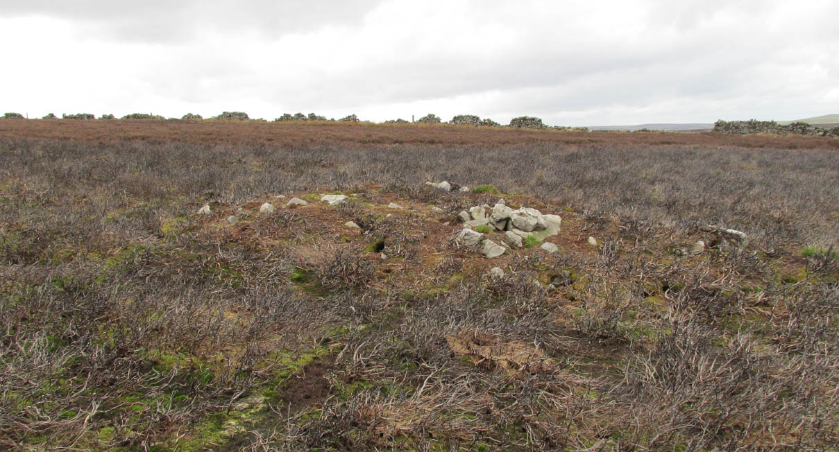
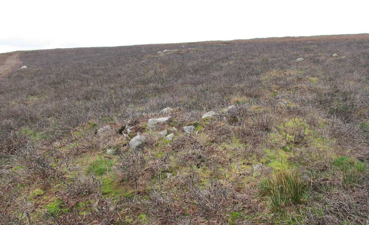
Staniston Hill, Stainburn, North Yorkshire

Standing Stone (lost):  OS Grid Reference – SE 2522 5010

Archaeology & History
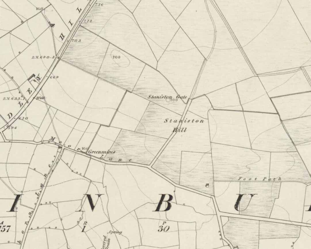
Staniston Hill on 1851 map

This long-lost standing stone gave its name to the small hill between the geological giants of Little Almscliffe and Almscliffe Crags, ‘Staniston Hill.’  Described as early as the 13th century in the Cartulary of Fountains Abbey as ‘Standandestan’, its precise whereabouts is unknown—but it’s damn close to the grid-reference cited here.  As the early OS-map shows, a small rounded hill occurs a short distance northwest of the small copse of trees now growing.  The monolith may have been felled by some grumpy christian, or it could be standing in some nearby walling.  Local antiquarians, dowsers or archaeologists may or may not find a search for it worthwhile…

Its position between the two Almscliffe Crags makes it very close to marking the midway point of a natural solstice marker: the Winter sunrise from Little Almscliffe and summer sunset from the greater Almscliffe.

References:

  1. Bennett, Paul, The Old Stones of Elmet, Capall Bann: Milverton 2001.
  2. Smith, A.H., The Place-Names of the West Riding of Yorkshire – volume 5, Cambridge University Press 1961.

© Paul Bennett, The Northern Antiquarian

Picketts Beck East, Askwith Moor, North Yorkshire

Cup-and-Ring Stone:  OS Grid Reference – SE 1708 5054 —  NEW FIND

Getting Here

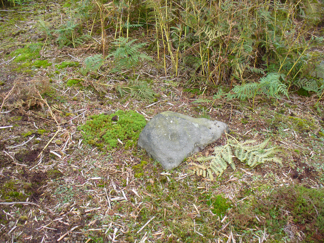
Cup-and-ring stone in situ

From the Askwith Moor Road parking spot, head across the road and take the directions to the Woman Stone carving about 510 yards (467m) across the moors to the west.  From here, look straight down the slope and head towards the largest boulder at the bottom, 20-30 yards away.  About 10-20 yards to the right of this, zigzag about in the vegetation until you find the small stone amidst the bracken.  You’ll find it!

Archaeology & History

This small stone, whose natural contours and cracks have been utilised in the design of the petroglyph, may once have been part of a prehistoric tomb, perhaps rolled or thrown downhill from the nearby Askwith Moor Cairnfield.  I say this due to the size and portability of the stone, i.e., it’s small and barely earthfast, giving an increased likelihood that its present position was not its original one.  But we might never know…

Rough sketch of the design
Close-up of the carving

It’s almost archetypal in design, being a primary cup-and-ring, with what appears to be a faint inner ring etched marginally within the larger notable incomplete circle, just an inch beyond the inner central cup.  From this same cup runs a carved line, out to the near edge of the small stone.  Single cup-marks occur on the edges of the rock, as can be seen in the photos: three, possibly four of them.  One of the cups, where the stone narrows to a rounded point, may also have had a partial ring around it.  When we found this stone a few weeks ago, the day was grey and overcast and the light was poor, so our photos do not highlight the carving too well.

(Note: the OS grid-reference for this stone is an approximation: pretty damn close, but not close enough. If someone ventures here and can get the exact grid-ref, we’d be most grateful.)

© Paul Bennett, The Northern Antiquarian 

Wester Cairnfield (02), Askwith Moor, North Yorkshire

Cup-Marked Stone:  OS Grid Reference – SE 1698 5070

Getting Here

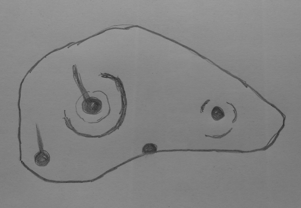
Faint cupmarks clearly visible

From the Askwith Moor Road parking spot, head west to the Askwith Moor cairnfield. Keep walking west, going downhill past the main cluster of rocks.  If you begin zigzagging amidst the heather hereby, you’ll eventually come across this relatively small stone which, even when the heather is deep, thankfully rises to the surface.  The Wester Cairnfield 1 carving is close by.

Archaeology & History

Although I presumed that Graeme Chappell and I found this petroglyph when we surveyed the area in the 1990s, I cannot find an early account of it in my files, so must presume that when James Elkington, James Turner and I came across it a few weeks ago, it was the first view of the stone in many a century… It’s another simple carving, only of interest to the mad rock art hunters out there.

...and from another angle
…and from another angle

When we first found it, it seemed to me (with the sunlight effects on the stone) that two cup-marks had been etched here; but as Mr Elkington pointed out, from the angle he was looking at the stone, there were another two.  He was right.  But it’s nothing special to look at, sadly, and is probably only of interest to the real hardcore petroglyph nutters amongst you. (please note that the grid-ref for this carving needs revising and may be 50 yards either side of the one given)

© Paul Bennett, The Northern Antiquarian 


Wester Cairnfield (01), Askwith Moor, North Yorkshire

Cup-Marked Stone:  OS Grid Reference – SE 16966 50674

Getting Here

Cup-mark near top-right

From the Askwith Moor Lane parking site, take the directions to the Askwith Moor Cairnfield.  Walk westwards for about 100 yards down the gradual slope, towards the boggy land below, but before reaching the reeds, still in the moorland heather, there are a scatter of rocks.  Just keep zigzagging about until you find it. It’s a reasonably large stone.

Archaeology & History

'Cup mark' on vertical face
‘Cup mark’ on vertical face

This is one of several simple cup-marked stones found down the slopes about 100 yards west of the Askwith Moor Cairnfield.  When James Elkington, James Turner and I re-surveyed this area again recently, I wondered whether it was a newbie or had already been located when Graeme Chappell and I did our tedious surveying of this region in the 1990s—and it turned out that we did!  The carving is nothing special to look at, even if you’re a petroglyph zealot.  Comprising of a distinct single cup-mark on the top nose of the rock, another is visible on the vertical south face, and another possible is on its eastern face.

1894 map of shooting target

When we look at the early maps of this area, we find that to the north and south of this stone once existed ‘Shooting Houses’.  As we can see on the attached map, the position of one of the shooting targets is very close to the location of this stone and so we must conclude that the cups on the vertical face were done by gunshot and are not prehistoric. However, the distinct cup on top of the stone retains its prehistoric link.

© Paul Bennett, The Northern Antiquarian 

Lower Lanshaw Stone (02), Askwith Moor, North Yorkshire

Cup-and-Ring Stone:  OS Grid Reference – SE 16059 50875

Getting Here

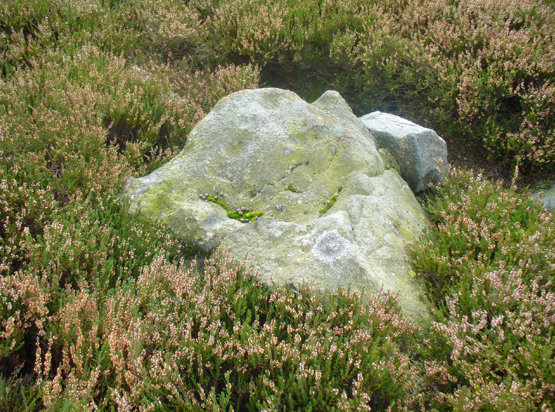
Lanshaw cup-and-ring nearby
Lanshaw cup-and-ring stone

Start at the Askwith Moor parking spot on Askwith Moor Road, then walk down the road (south) 300 yards till you reach the gate and track on the other side of the road, heading southeast.  Following the track onto the moor and take the footpath on your right after 75 yards. Follow this along until you hit the gate & fence.  Climb over this, then follow the same fence along (left) and down, and keep following the fence and walling all the way on until you reach the very bottom southwestern edge of Askwith Moor itself.  Now, walk up the slope to your right and, near the top of this rise 250 yards away, past Lower Lanshaw 01 carving, in some ancient walling, you’ll find it!

Archaeology & History

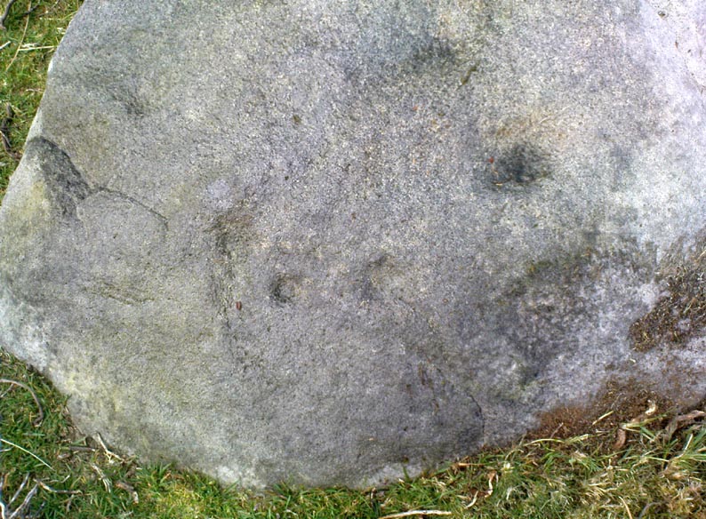
A very faded cup-and-ring carving can be found about 30 yards northeast of the Lower Lanshaw cup-marked stone, just as the hill slopes down to the overgrown stream.  It rests on the lower edges of the prehistoric (probably Bronze Age) enclosure in which other archaeological remains can be found.  Although the photo here highlights what seems to be 3 cups on the south-face of the rock, only one of them seems authentic.  A pecked “line” also seemed evident, but the light conditions were poor when we were here.  It does seem that there’s a faded ring around one of the cups, as you can see in the photo.

© Paul Bennett, The Northern Antiquarian 

Forty Acres (3), Stelling, Marske, North Yorkshire

Cup-and-Ring Stone:  OS Grid Reference – NZ 0758 0058

Getting Here

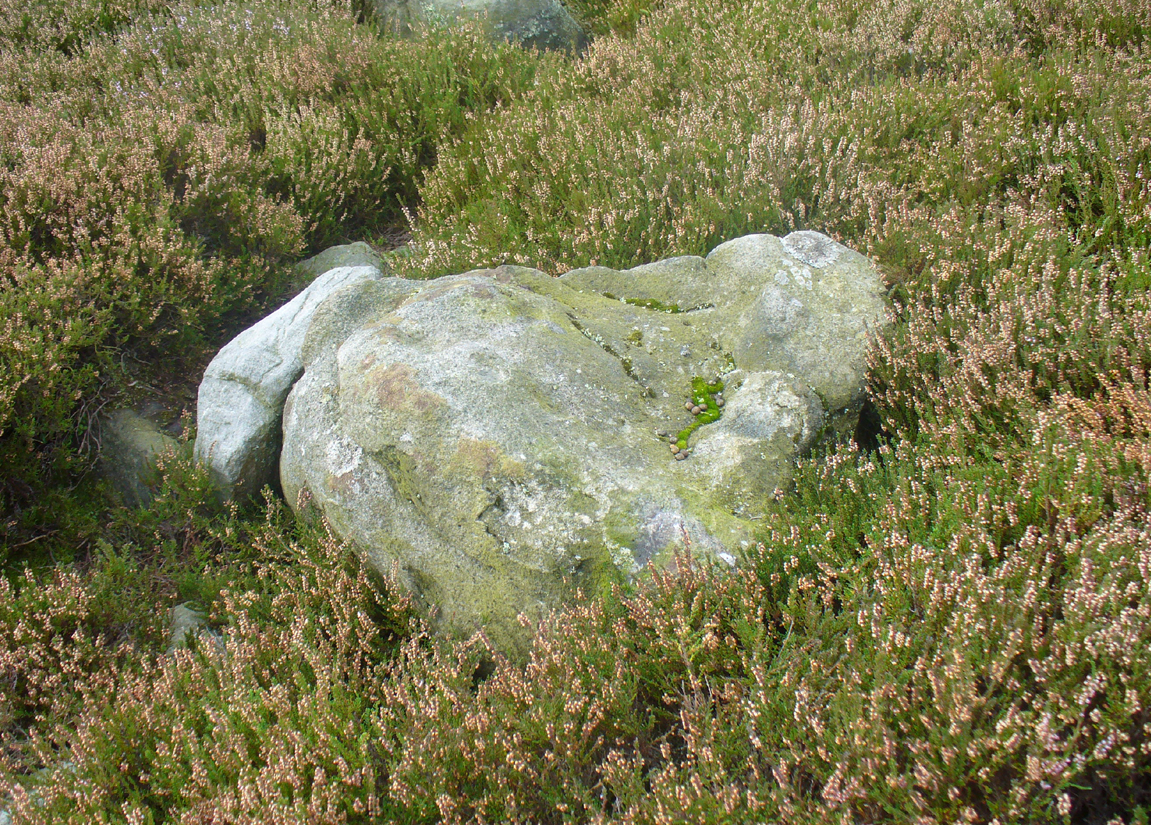
Surface of Forty Acres 3 carving
Surface of Forty Acres (3) CnR

From Marske village, take the road west and uphill to the villages of Fremington and Reeth.  At the top of the hill where the fields open up, several hundred yards along on your right, past the field with the track, a footpath sign points you up onto the moor. Go up the field till you hit the wall that goes right to the top of the moor. Where the four walls meet, go straight across and then walk northwards along the line of walling for 2-300 yards, keeping your eyes peeled for a solitary stone on its own, 100 yards west.  You’ll find it.

Archaeology & History

Deep carved line features

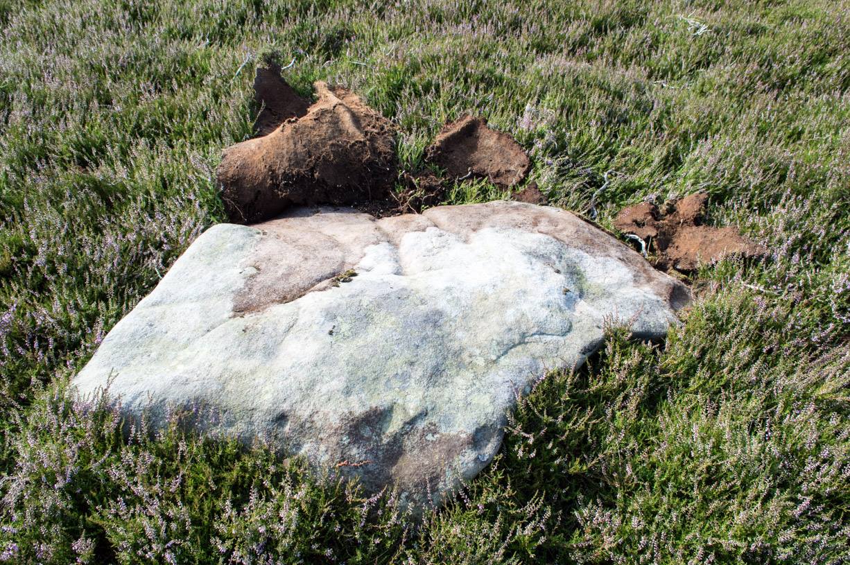
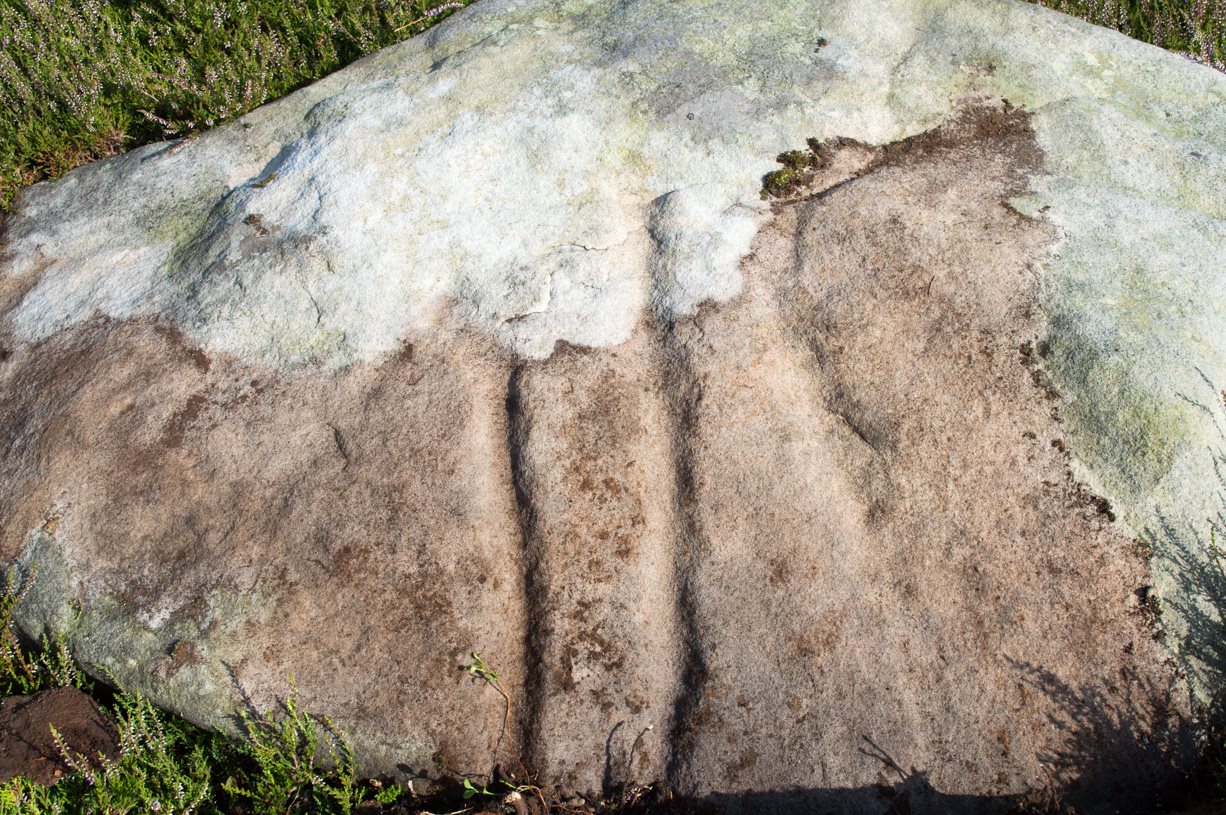
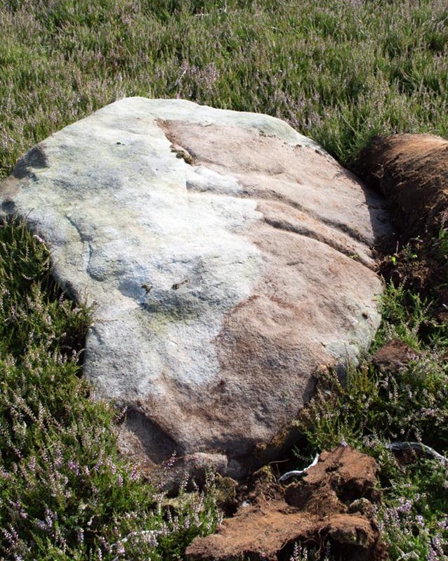
A pretty basic petroglyph located within a massive arena of prehistoric sites dating from the neolithic and continuing through the Bronze Age period and beyond.  Found a few hundred yards northwest of the once giant cairn of Cock Howe, this design is characterized mainly by the two large deep channels deliberately cut into the stone that run from the middle of the upper surface down to ground level.  One of them emerges from a single cup-marking, at an angle; whilst the other comes from the edge of a natural crack in the rock.  The channels are wide and flattened. Other faint lines can be discerned too, which may have originally been carved.  We need to explore this design in different lighting conditions to see if there are additional features here.

Looking east-ish
Looking east-ish

An archetypal cup-marking can seen on the vertical edge of the stone and three other faint ones scatter the top.  Another small ‘cup’ is along the southern vertical face of the rock which, when we found it, thought was natural; but a photograph of the stone by James Elkington seems to show a ring surrounding much of the cup-mark.  We need to go back and take another look at the place.

A number of other carvings described in Paul and Barbara Brown’s (2008) survey can be found in the region.

References:

  1. Brown, Paul & Barbara, Prehistoric Rock Art in the Northern Dales, Tempus: Stroud 2008.

© Paul Bennett, The Northern Antiquarian

Douky Bottom Ring, Arncliffe, North Yorkshire

Enclosure:  OS Grid Reference – SD 95126 68887

Also Known as

  1. Dowkerbottom

Getting Here

Douky Bottom Ring
Douky Bottom Ring

Go up the B6160 road, heading for Kilnsey Crag.  A few hundred yards past here, take the road to Arncliffe and, several hundred yards along, keep yer eyes peeled for the (usually) decent craggy dry stream bed on your left (west). Follow this upstream till you hit the large cave, continuing uphill above the crags, following the steep walling upwards to the next set of crags.  Above these, another long straight line of walling continues in the same direction you’ve been walking. Follow this along until it meets up with another large line of walling, heading NE.  Walk along here till this wall changes direction NE, but here you need to walk across the grasses westwards, past the large cave for another 100 yards.  You’ll find it!

Archaeology & History

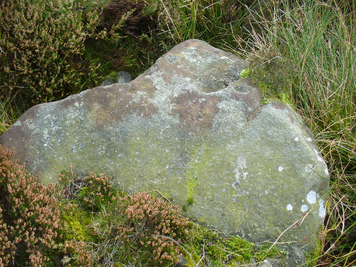
This is a simple but well-preserved circular monument, probably constructed in the Iron Age, just 100 yards past the incredible Douky Bottom cave (in which various prehistoric remains have been found).  No excavations appear to have been made here, yet the near-perfect ring is in very good condition indeed.  The monument consists of thousands of small stones – taken from the huge scree immediately behind the structure – whose uppermost visible mass overlays a much older and larger pile of stones, all of roughly the same size.

Douky Bottom ring, looking NE

The ring is less than 10 yards across and gives the impression of it being a large hut circle—which it may or may not be.  Without an excavation we cannot know its function with any certainty.  Other, much larger prehistoric enclosures and settlements are close by, mainly to the northeast; and you have the truly bizarre rock piles on the ghostly horizon crags, whose histories are quiet indeed….  For any antiquarians amongst you who’d like a good day out, give this region a try!  It’s a truly intriguing arena with much much more hiding away than any of the archaeology records can tell you about.

Acknowledgements:  Many many thanks to James Elkington for guiding us to the sites in this region.

© Paul Bennett, The Northern Antiquarian

Cock Howe, Skelton Moor, Marske, North Yorkshire

Cairn:  OS Grid Reference – NZ 0811 0063

Getting Here

Cock Howe1 cairn

Take the minor high road between the hamlets of Marske and Fremington (up Hard Stiles from Marske side), turning up Stelling Road at the crossroads, and ⅔-mile (1.1km) along, turn right up Helwith Road. ¾-mile (1.2km) along, on the right, walk thru the gate onto the moor following the walling.  Nearly 400 yards on you meet a junction of walling: walk past this until you reach the next line of walling and then follow it northeast for just over 500 yards. Once there, look for the mounds in the heather immediately south, less than 50 yards away.

Archaeology & History

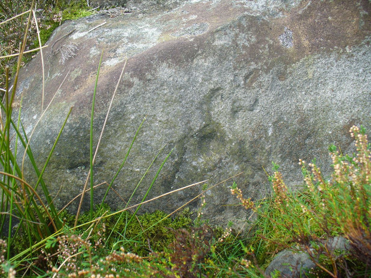
This is one of the “isolated cairns of fair size” mentioned in passing by Tim Laurie (1985) in his survey of the massive settlement and field systems scattering this gorgeous moorland arena.  It is one amongst a scatter of several in and around the eastern height of Cock Howe hill on the south side of Skelton Moor.  The area has sadly been scarred by an excess of old lime mines—many of which are visible close by—damaging with some severity the excess of prehistoric remains on these moors, none of which have yet been excavated in any detail.  This cairn included.

More cairns to the rear

Even though much of the heather here had been burnt back when James Elkington and I visited the place recently, the pile of stones was still very embedded into the peat.  The moorland rabbits had dislodged some of the stones, highlighting the mass of rocks much better.  It stands nearly a metre high and is roughly 7 yards by 8 yards in diameter from edge to edge, structurally similar to the many Bronze Age cairns scattering Rombalds Moor, Askwith Moor and other Yorkshire clusters.  A second cairn of similar size and stature exists some 30 yards to the southeast (visible on one of the photos).

For anyone who might visit this site, the most impressive features hereby are the huge settlement remains scattering the moors just north of the wall a few yards away.  When the heather has been burnt back, a veritable prehistoric city unfolds before your eyes, with extensive lengths of walling, hut circles and what can only be described as huge halls, in which tribal meetings probably occurred – much of it in superb condition!  Well worth visiting.

References:

  1. Laurie, T.C., “Early Land Division and Settlement in Swaledale,” in Upland Settlement in Britain: the Second Millennium B.C. and After, ed. Don Spratt and Colin Burgess, BAR British Series 143, 1985.
  2. Martlew, R.D., Prehistory in the Yorkshire Dales, YDLRT: York 2011.

© Paul BennettThe Northern Antiquarian


Richard Wood South, Thornton Steward, North Yorkshire

Cup-Marked Stone (missing):  OS Grid Reference – SE 16940 87301

Archaeology & History

A prehistoric carving that is missing and possibly destroyed since being rediscovered in 2001 by Barbara Brown (2008) and subsequently described in her book on North Yorkshire petroglyphs.  She told it to be in “Thornton Steward field hedge bottom” and was a simple glyph, being a

“rectangular slab (with) single cup-mark located in hedge bottom part of old walling.”

When she revisited the site with her husband in 2006, the old hedge and wall had been removed, with “new hedging in place.”  The carved stone may be buried within a pile of clearance stones adjacent to the hedgerow, but it has yet to be relocated.  If anyone finds it, please let us know!  It was one of several cup-marked stones that exist in the wider neighbourhood.

References:

  1. Brown, Paul & Barbara, Prehistoric Rock Art in the Northern Dales, Tempus: Stroud 2008.

© Paul Bennett, The Northern Antiquarian

Teddy Stone, Blubberhouse Moor, North Yorkshire

Cup-Marked Stone:  OS Grid Reference – SE 13495 54929

Getting Here

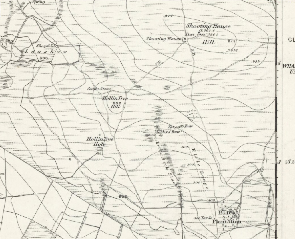
Teddy's very own cup-marked stone!
Teddy’s very own cup-marked stone!

ON the A59 Harrogate to Skipton road, right on top where it crosses the barren moors, get to the parking spot right near where the road levels out at the highest point. Walk up the footpath from here onto the moors (south) for about 200 yards till you notice a small black pool ahead of you. From here, walk left (east) offpath and into the heather, roughly along the ridge for about another 150-200 yards. Zigzag about and keep looking. You’re damn close!

Archaeology & History

Close-up of some of the cups

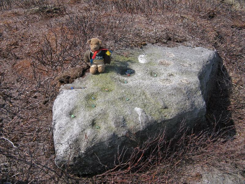
Not far from the Gill Head stone and walling, another previously unrecorded cup-marked rock was discovered on the afternoon of Saturday, May 3, 2014, by Danny Tiernan and his famous teddy bear!  The stone seems to have been previously well-covered, but was made visible thanks to the annual heather-burning on this part of the moor. He came across it during an exploratory Northern Antiquarian wander to examine a cluster of other neolithic remains hidden on this moor.  The carving consists of a series of plain cup-markings, between eight and twelve in number, running along the middle of the rock and outwards nearer to the edges. The cups are between 1-2 inches across and a half-inch deep at the most. The design was first highlighted on Danny’s walking blog, Teddy Tour Teas — and is gonna be difficult to find once the heather’s grown back.

Links:

  1. The Teddy Stone

© Paul Bennett, The Northern Antiquarian