Hut Circles: OS Grid Reference – NO 1974 6559
Getting Here
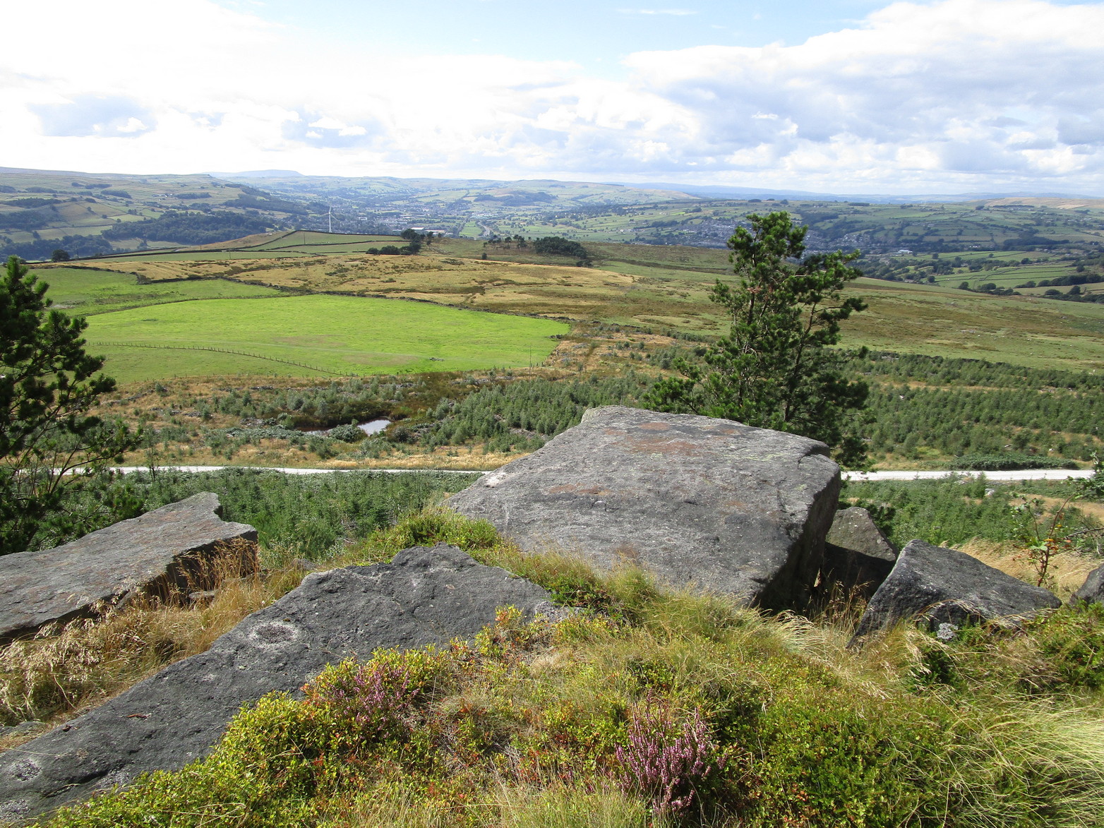
From Alyth, take the B954 road north to Glen Isla, or from Kirriemiur northwest up the B951. Whichever your route, once you pass the Kirkton of Glenisla about 10 miles up, make sure you DON’T cross the river bridge a mile past here—instead take the tiny right-turn just before the bridge and go up here (past Folda) for just over 2 miles and then park up where the signpost tells Cateran Trail (if you’ve crossed the next river bridge, you’ve gone 150 yards too far). Walk up the track and, after a mile, it levels-out just where it swerves to go back downhill. Once here, walk off the track and up onto the moorland on your right (south) and where the land levels out, zigzag around, keeping your eyes peeled for the circular stone enclosures. There are several of them.
Archaeology & History
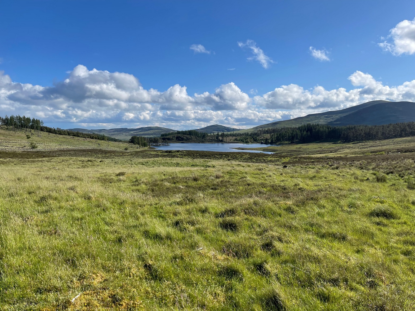
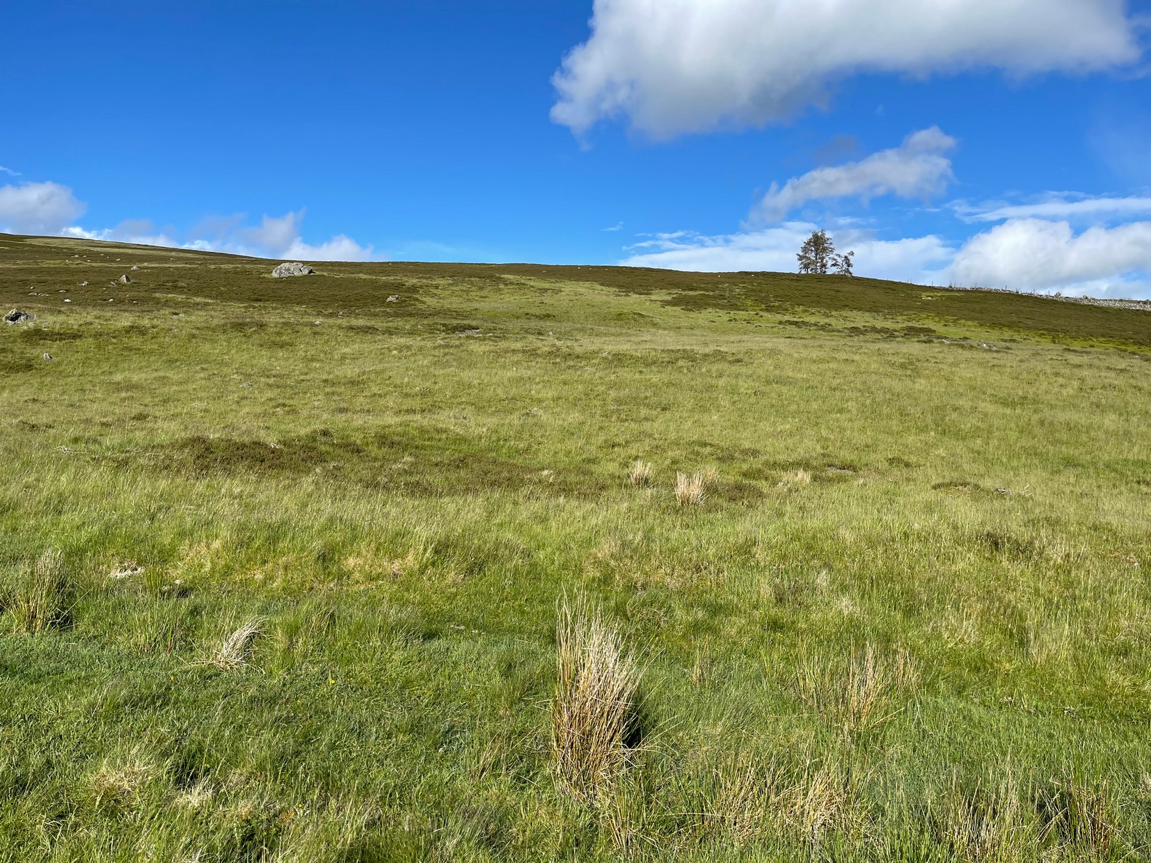
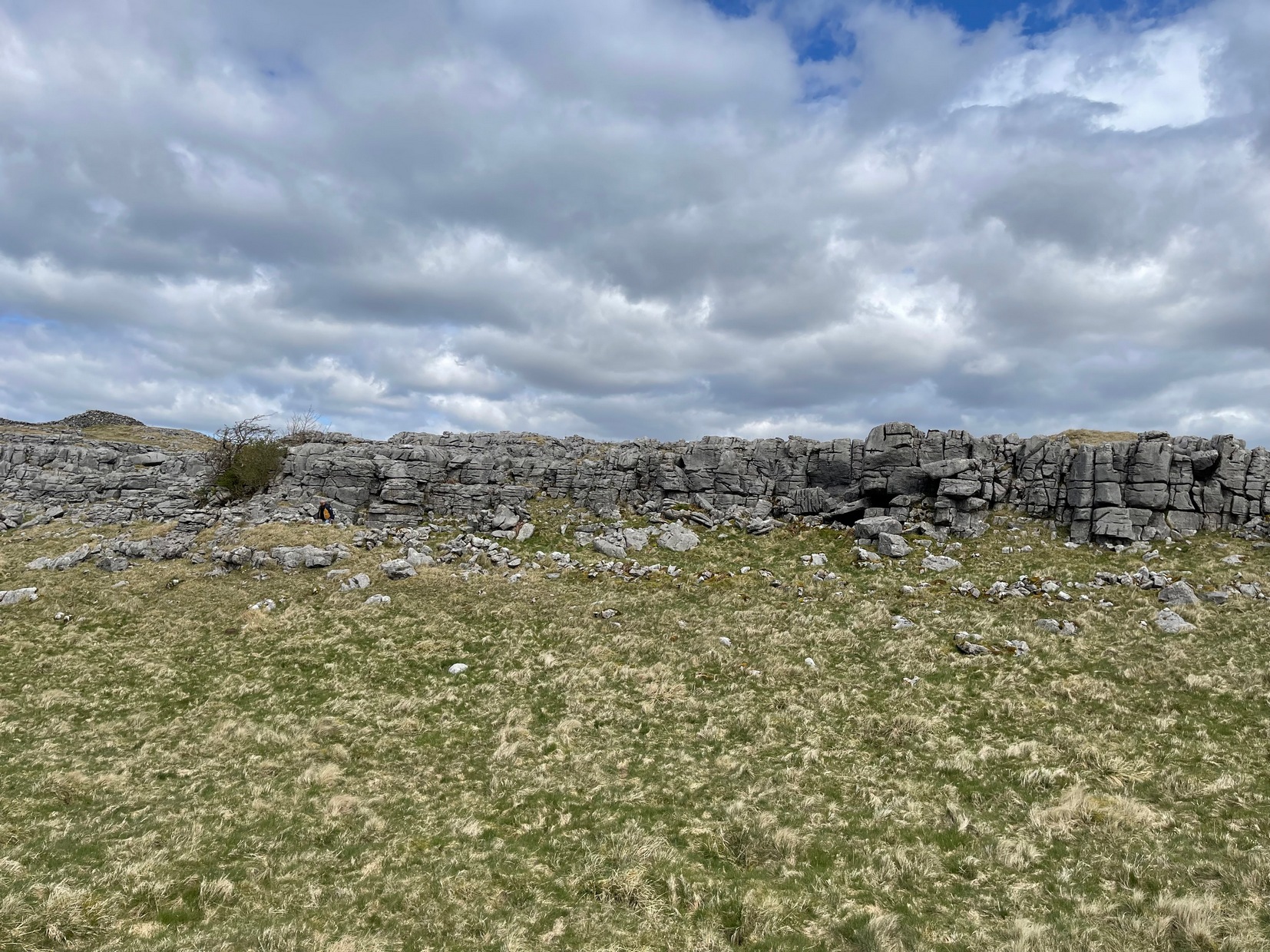
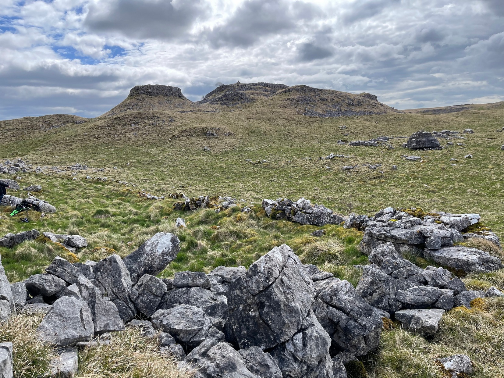
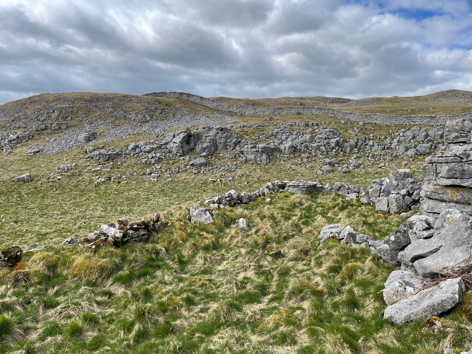
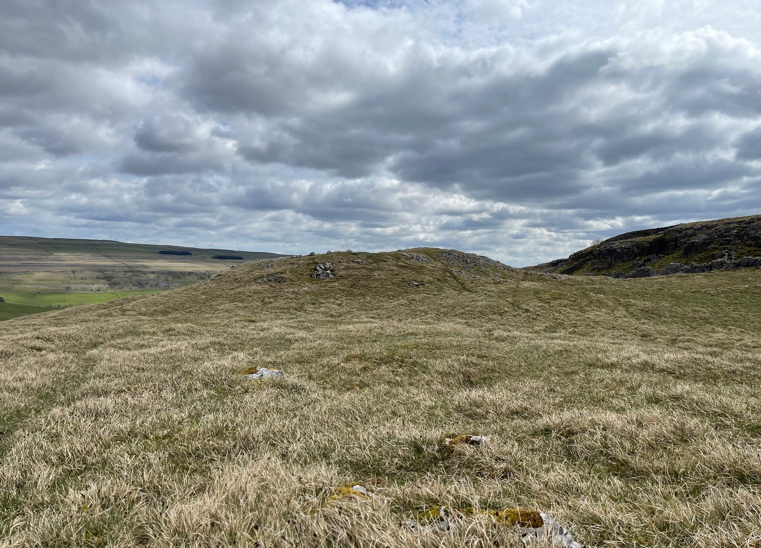
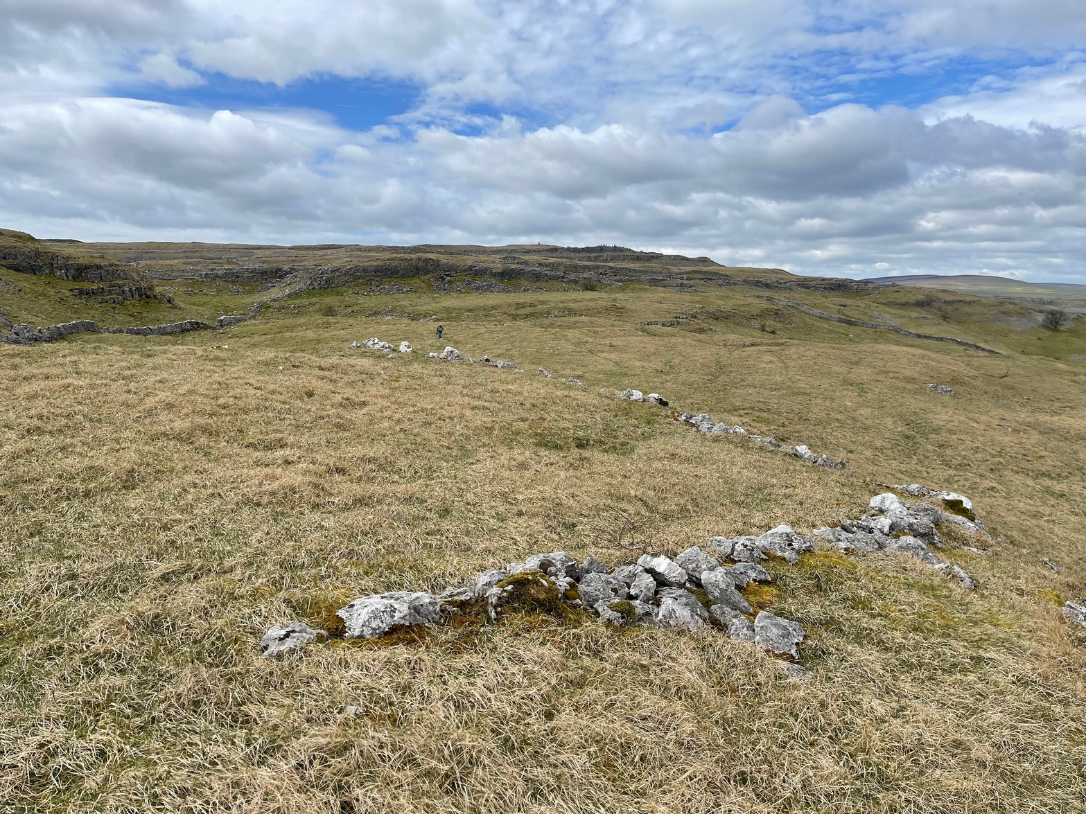
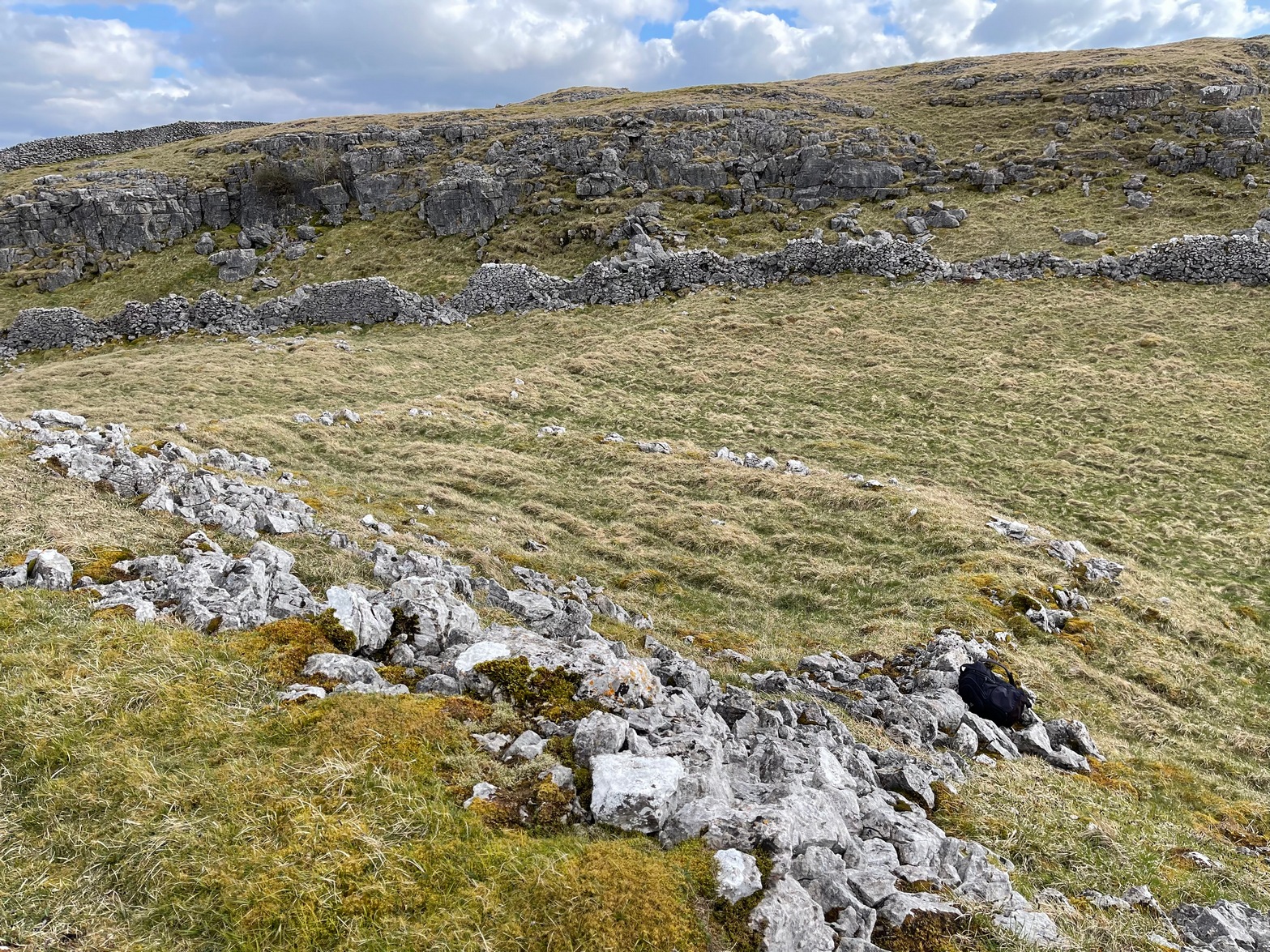
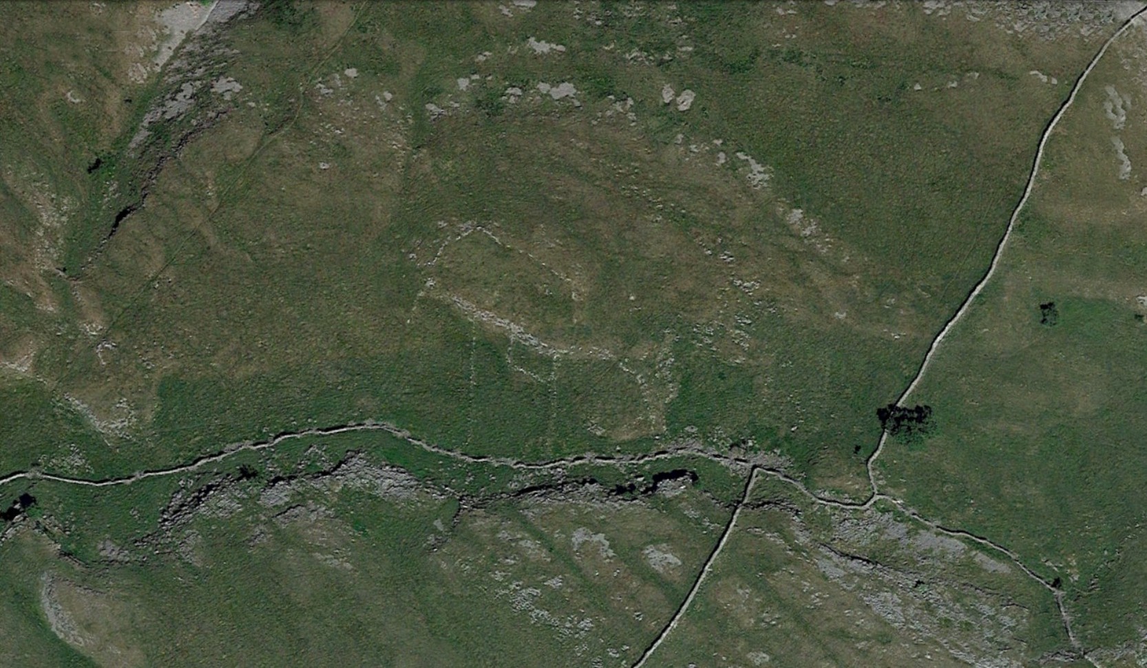
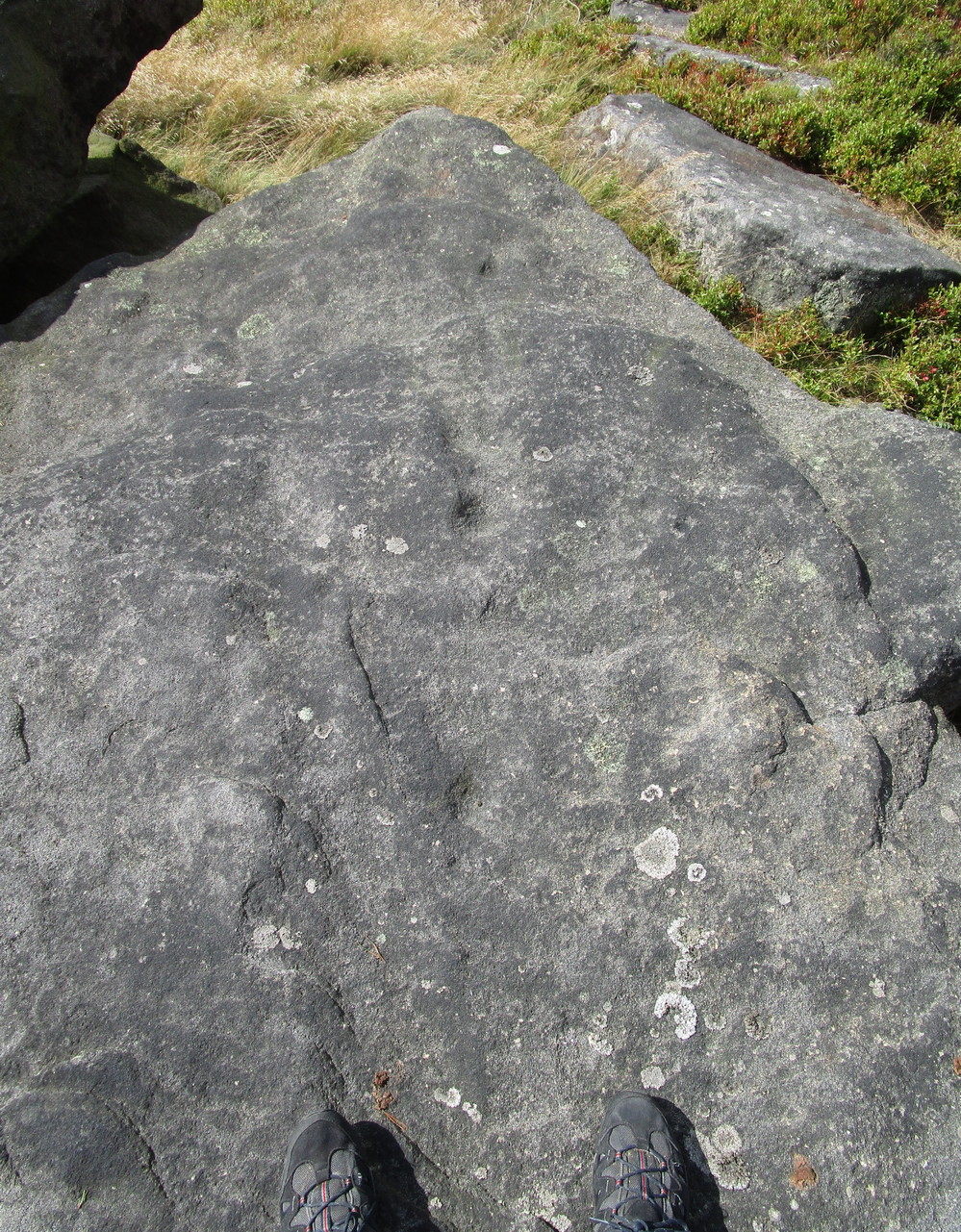
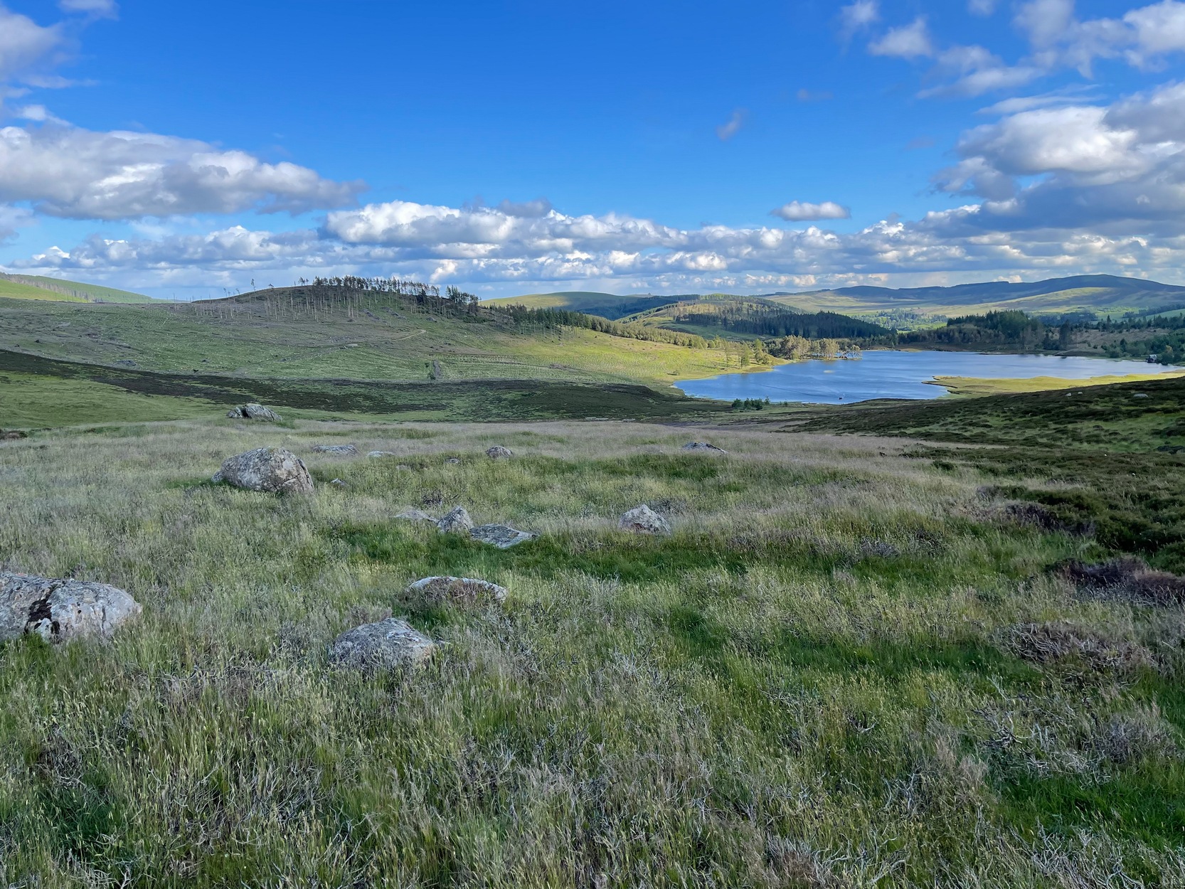
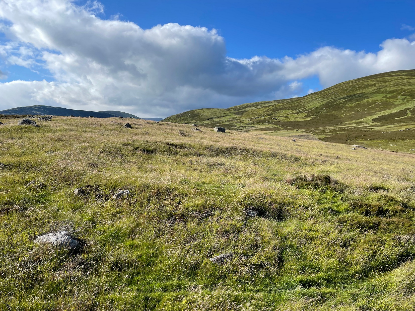
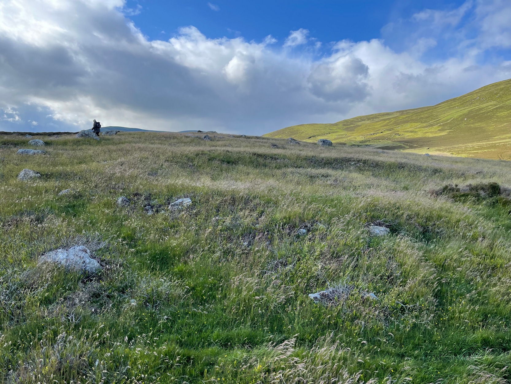
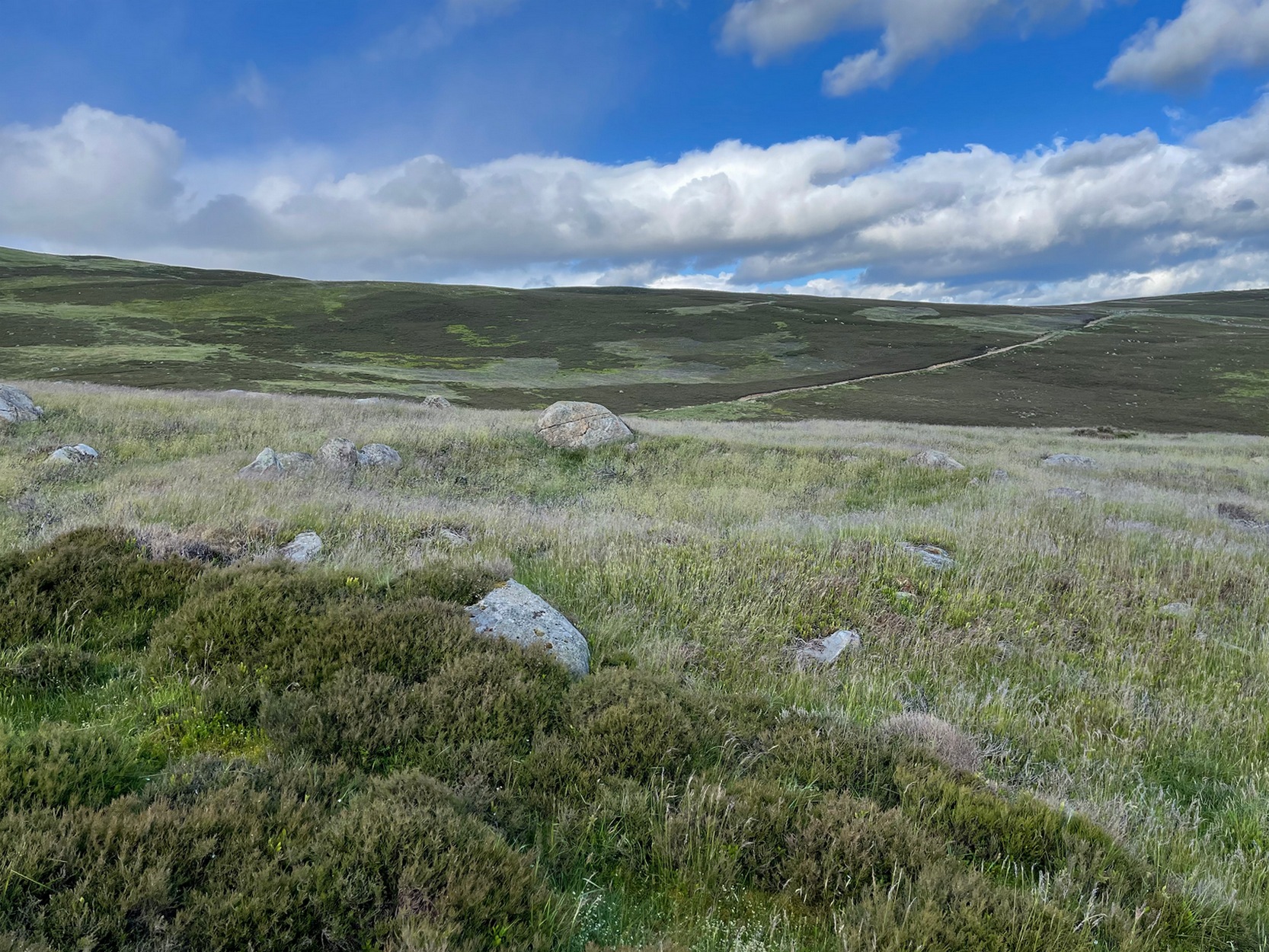
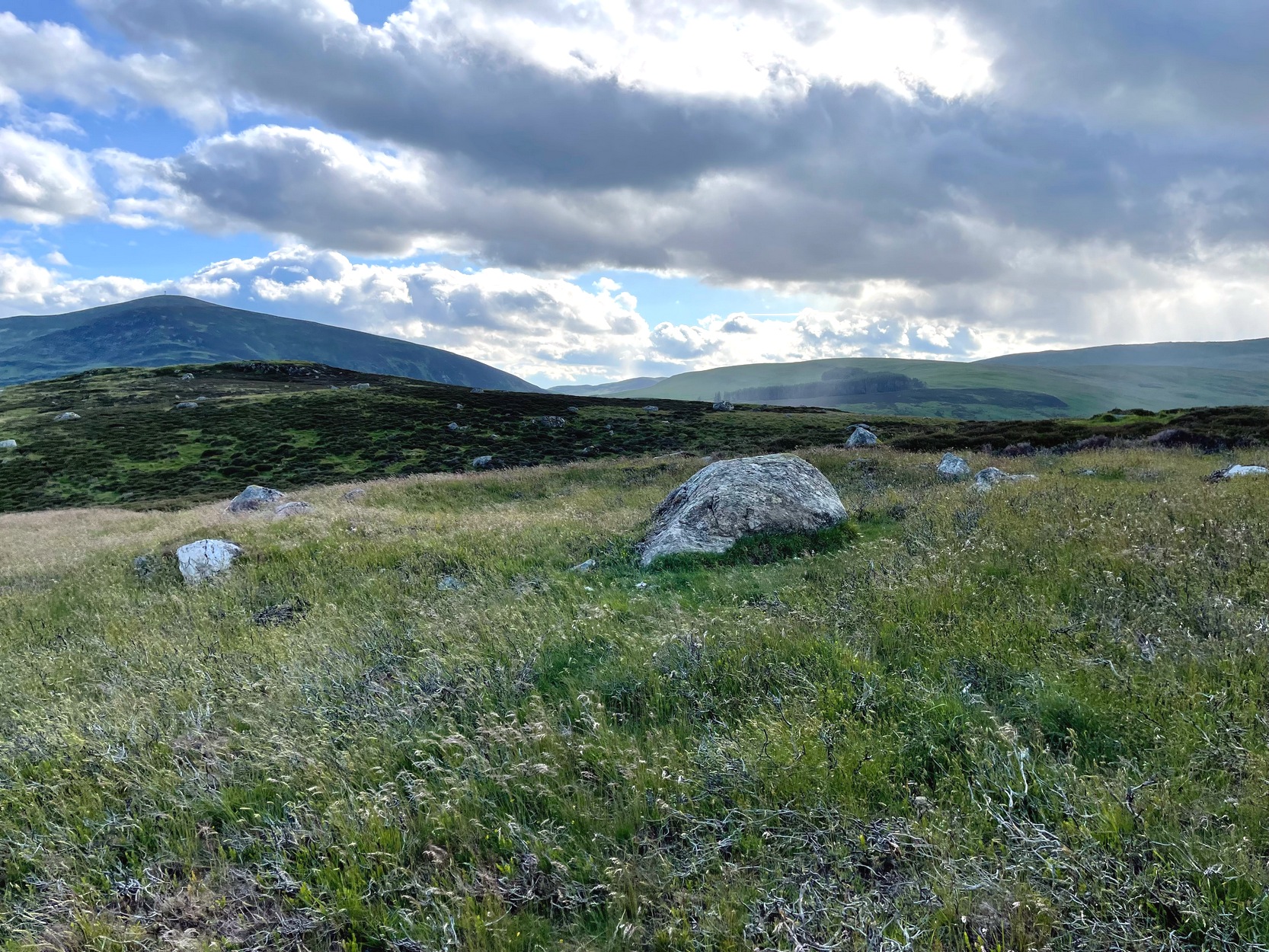
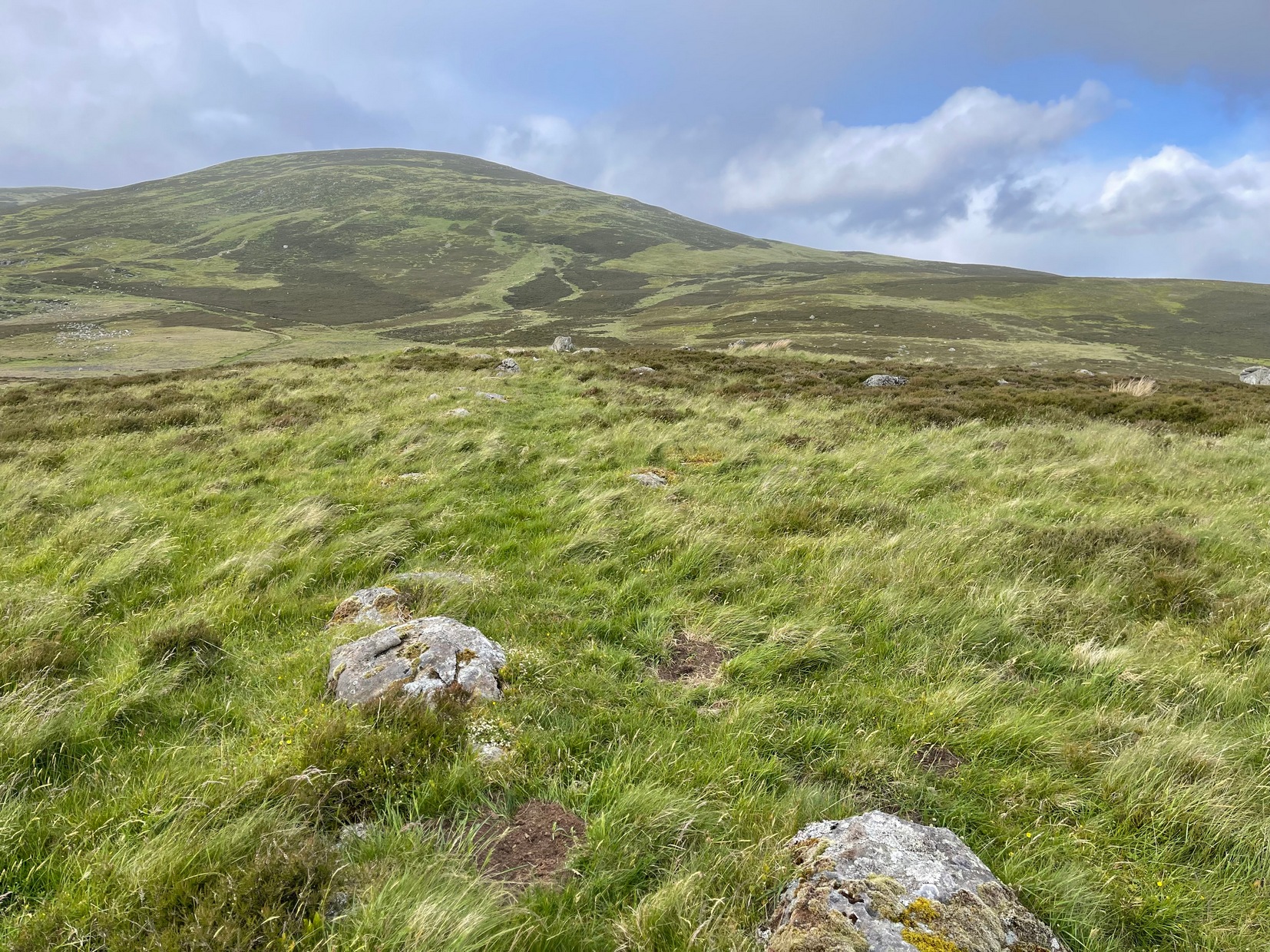
On the way back from seeking out a forgotten holy well at Auchenchapel in the hills above Glen Isla last week, I stumbled across a small group of hut circles which, it turns out, weren’t in the record books. Unfortunately I found them near the end of the day, so it was a bit of a rush-job zooming back and forth taking quick photos of what was there, i.e., at least three hut circles, probably Iron Age in origin (although I’ve seen Bronze Age circles just like these) constructed very close to each other, with a possible fourth one buried in deeper heather nearby. The circles have been built on a high exposed ridge linking Glen Isla to Glen Clova a few miles to the east, but when these were built this area would obviously have possessed a good cover of birch, hazel and other trees, protecting the structures from the elements.
The first one—hut circle (1) (at NO 19765 65581)—has been built and cut into a slight slope in the hillside, with the floor inside obviously leveled out. Measuring roughly 16 yards across from outer wall to outer wall, the entrance to the building seems to be on the eastern side and the average height of the walling all round is roughly 2 feet. On the whole the structure is in very good condition, with hardly any damage done despite its great age. It was obviously built for a single family, but was no doubt used over and over for many centuries.
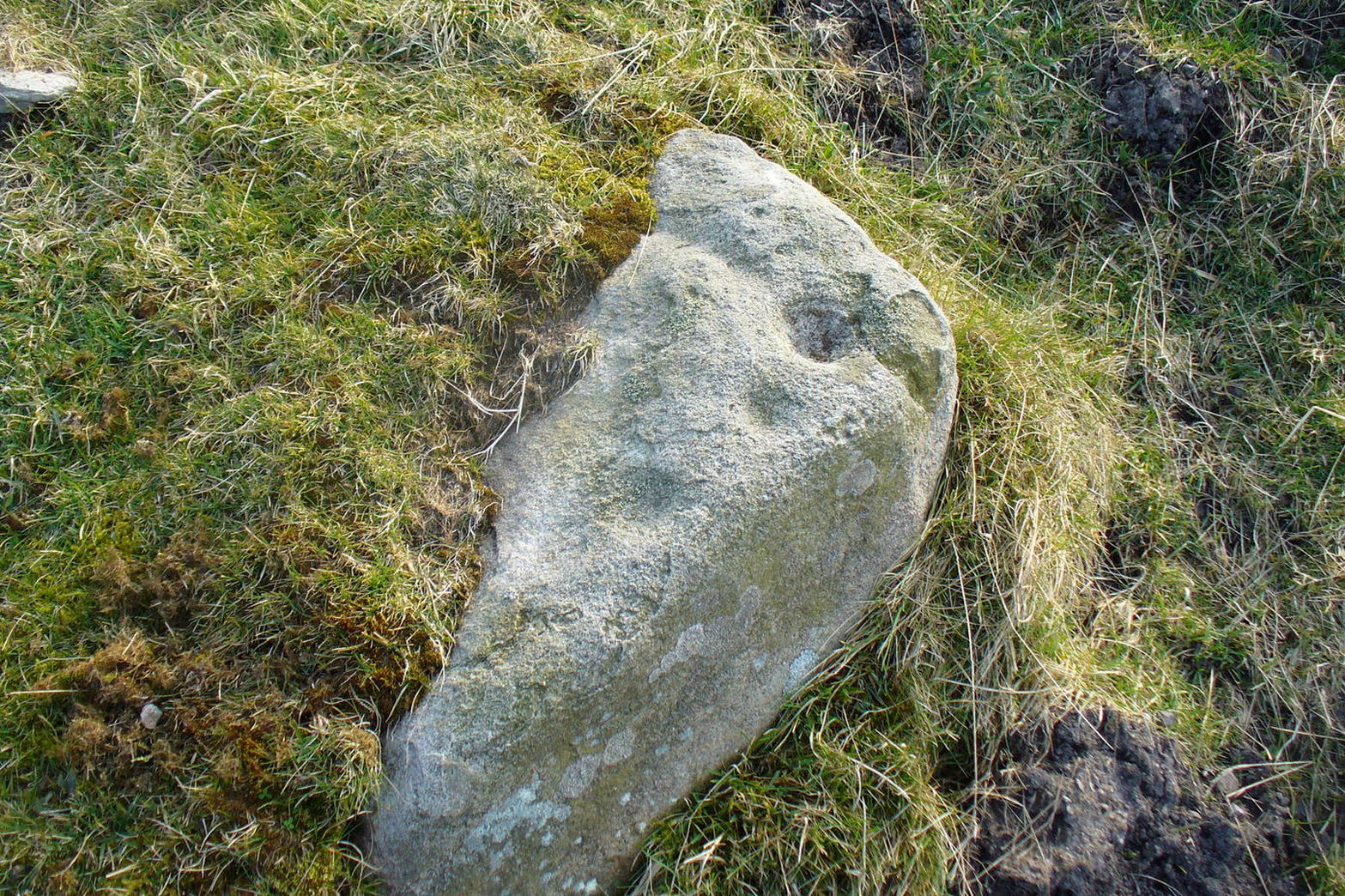
The second of the circles (at NO 19741 65590) is just 15-20 yards away to the northwest. Slightly smaller than hut circle (1) and also built into slightly sloping ground, its walls are a little more sturdy and slightly wider than its compatriot and were built around at least two earthfast boulders making it structurally much stronger. Measuring roughly 15 yards across from outer wall to outer wall, the entrance to this circle is at the southeast. Once again, this would have been perfect for a single family to live in.
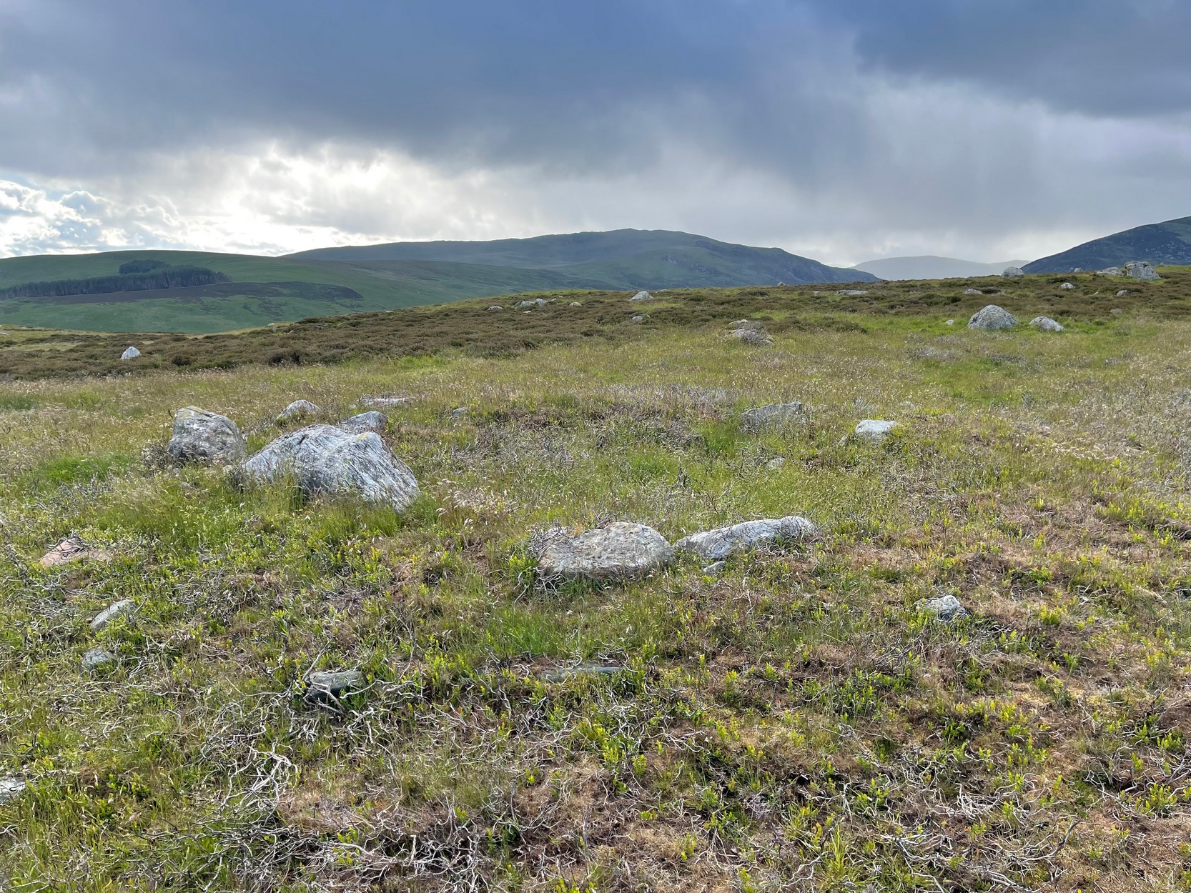
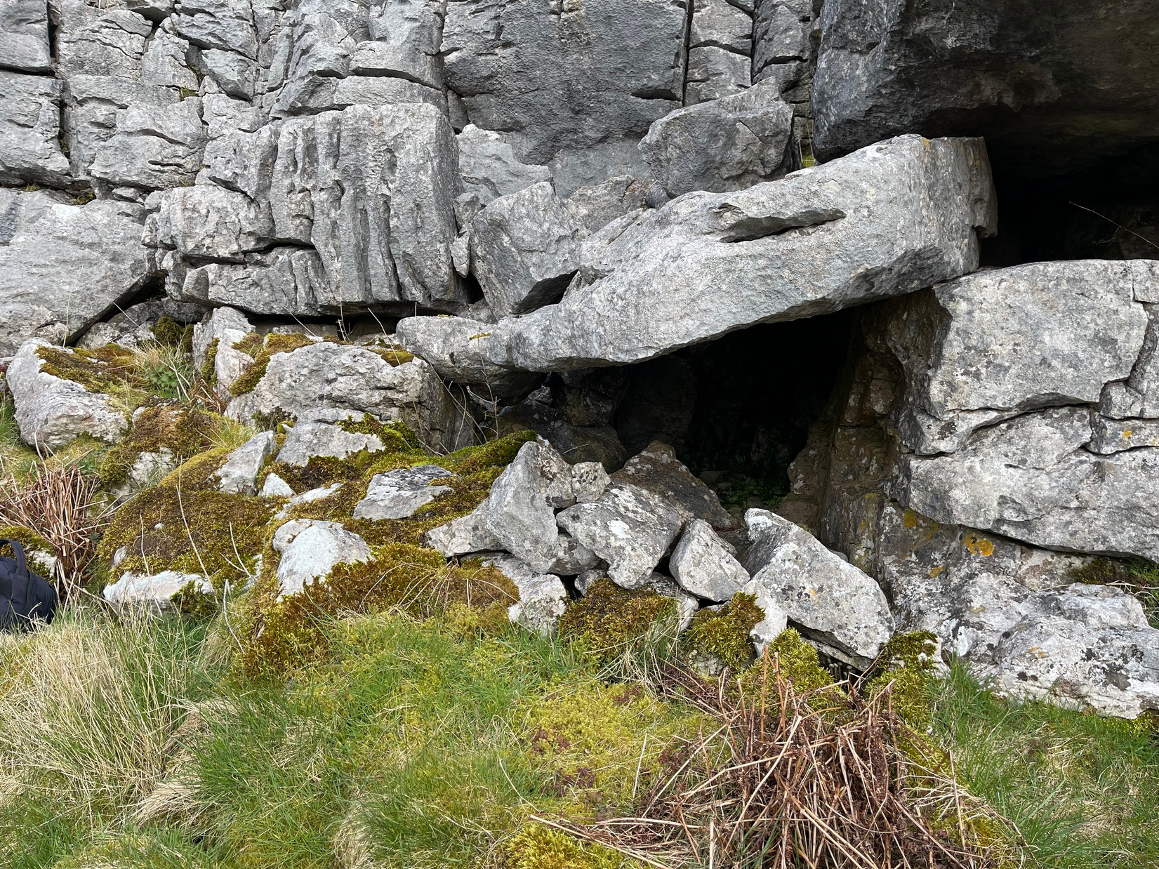
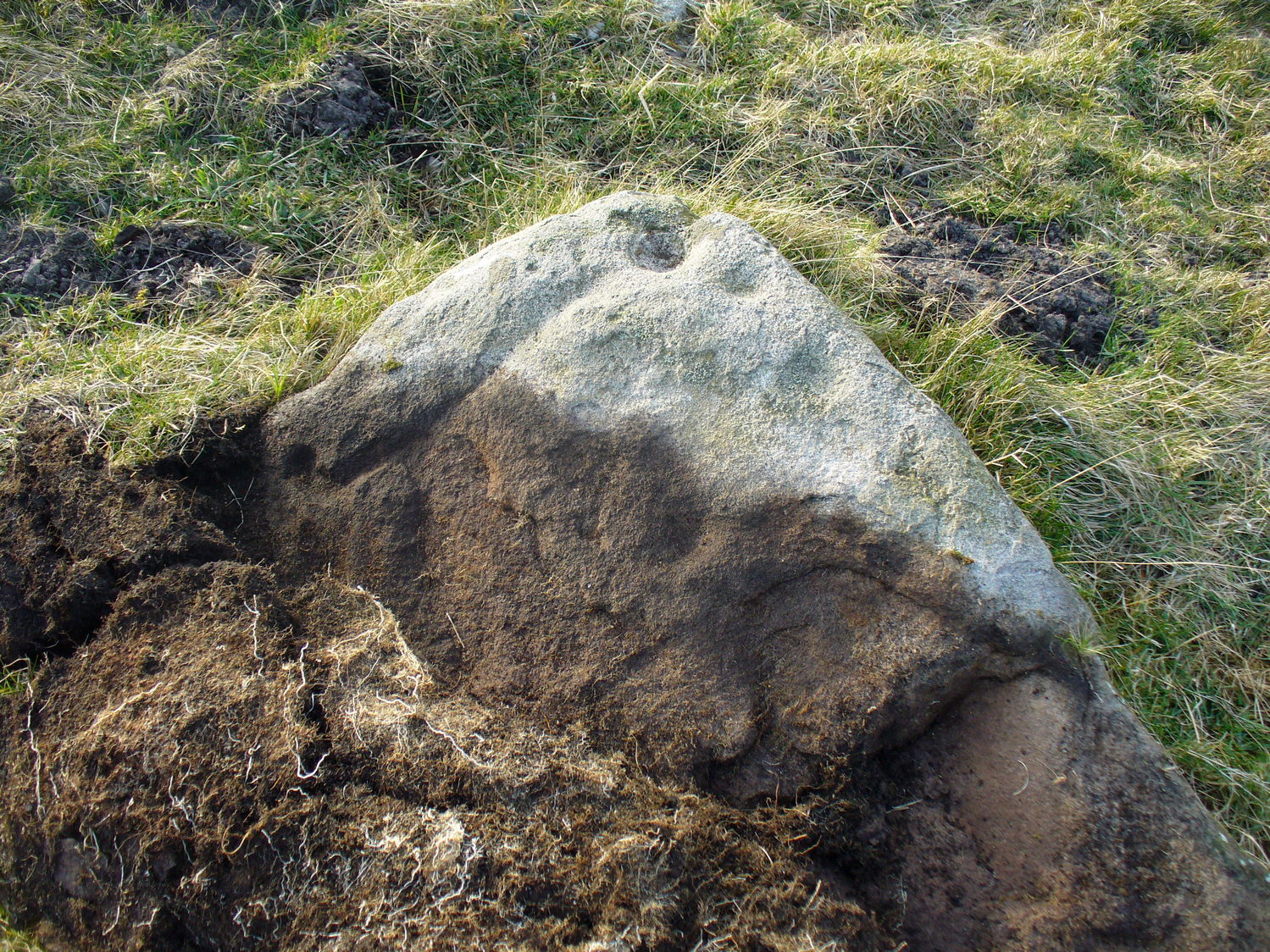
The third of the hut circles found this day was the smallest of the group and suggests that it would have housed only one person. The stones making up this small circle are unusually large for such a small structure, which made me think at first that it may have been a cairn—but the more I looked, the more I realized that this wasn’t the case. Somewhat more oval in shape than the other two, unlike its compatriots some parts of the walls seem to have been disturbed and knocked down to the side. The poor little fella measures only 8 yards across, but its walls were still nice and sturdy being roughly a yard wide all round.
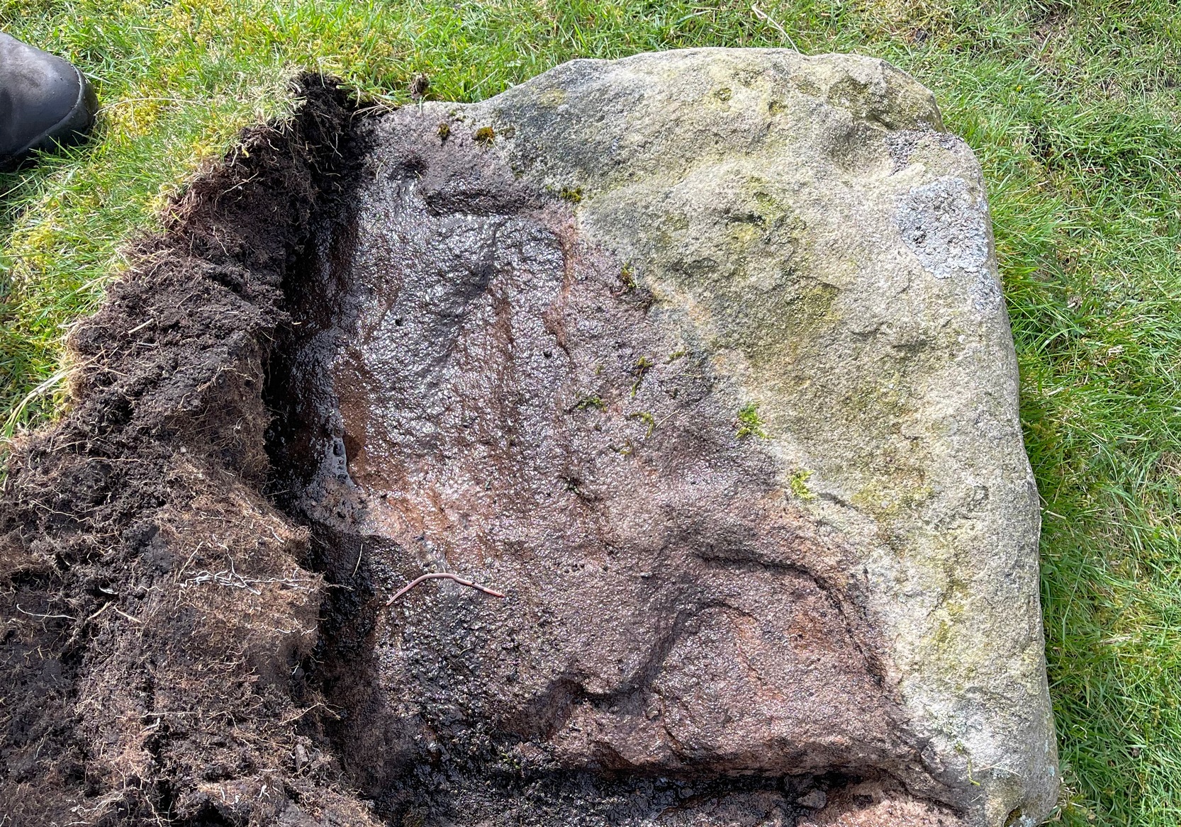
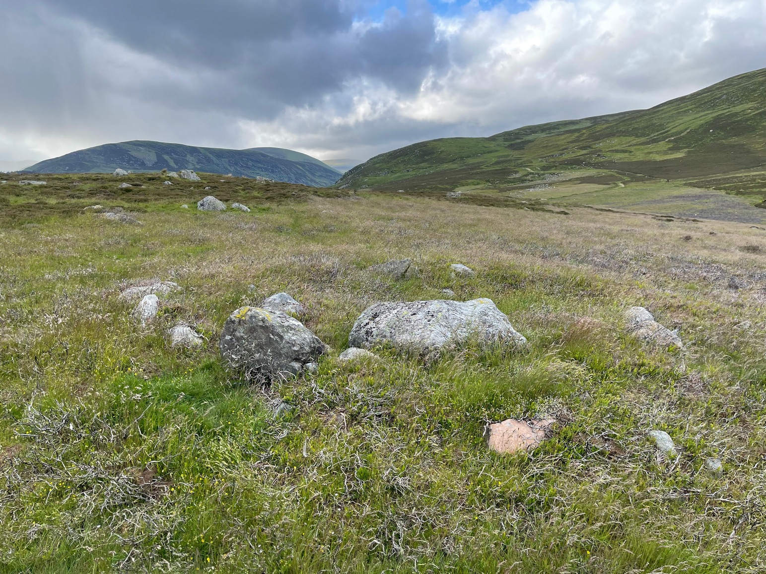
What seemed to be a fourth hut circle was covered in deep heather close to the cluster of three, but we need another visit here to work out whether this suspicion is correct or not. Much more certain is the existence, less then a hundred yards northwest of here, of a very distinct line of ancient walling, about a yard wide, suggesting that the hut circles were encircled by a much larger enclosed structure. I paced along this walling for 60 yards, whereafter it disappeared into the heather.
It’s extremely likely that other unrecorded prehistoric remains are still to be found in this area. So get y’ walking boots on and get that nose of yours a-twitching across these ‘ere ancient hills!
Acknowledgements: Huge thanks for Prof. Paul Hornby, for getting us up here and having another fine day on the hills…
© Paul Bennett, The Northern Antiquarian