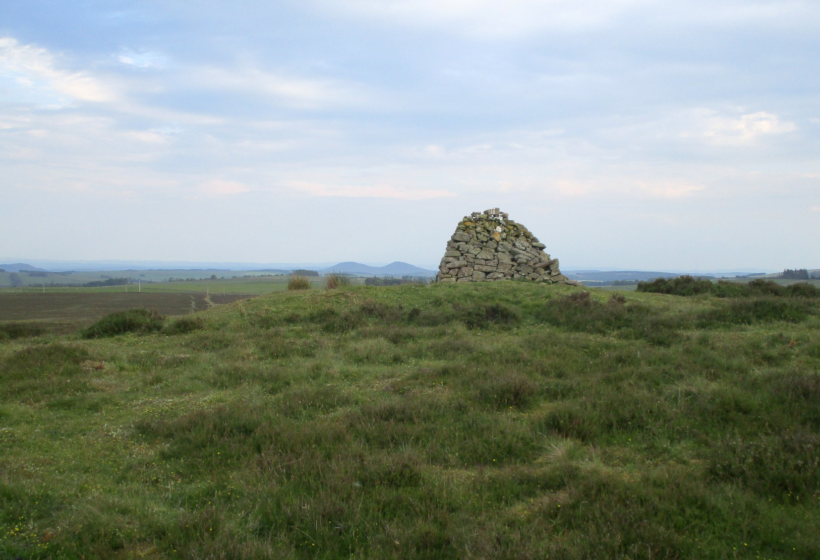
Hut Circles: OS Grid Reference – NN 9201 2689
Getting Here
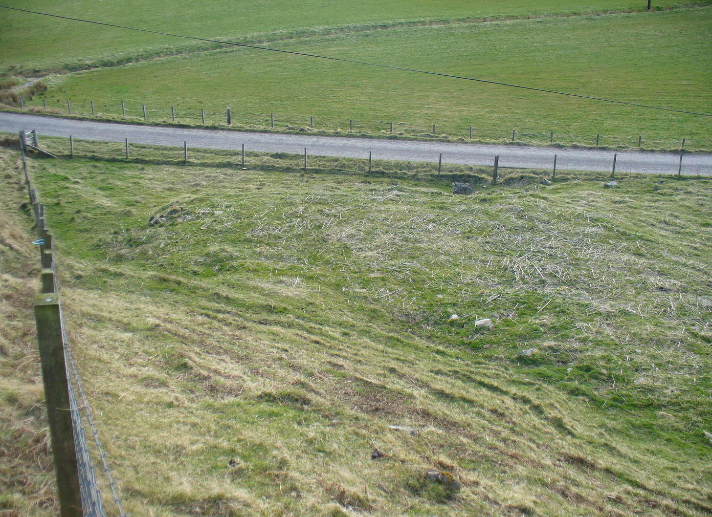
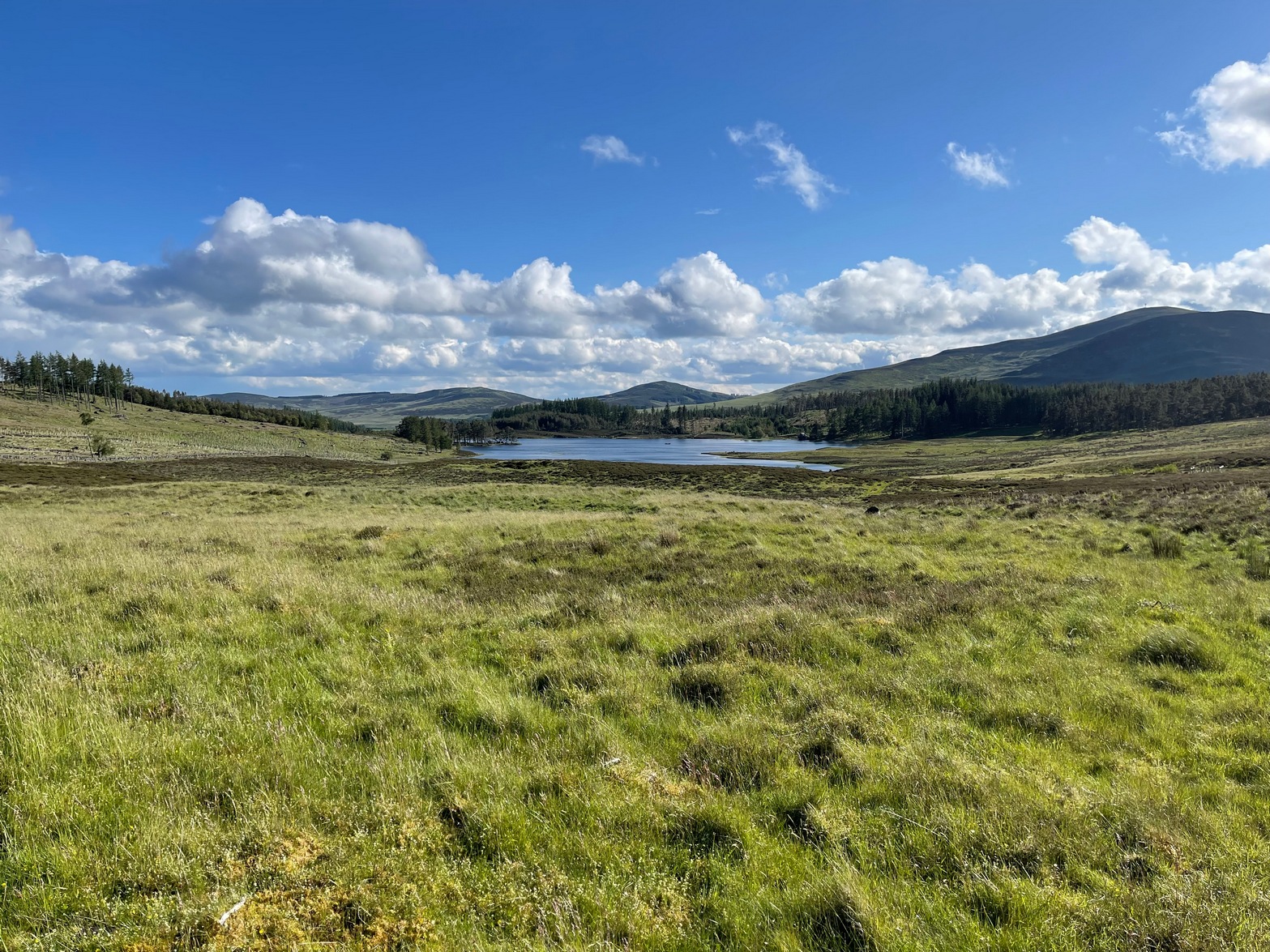
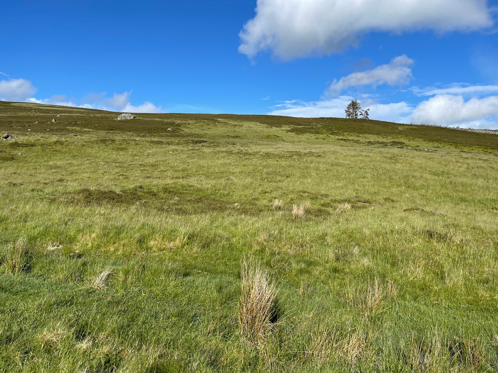
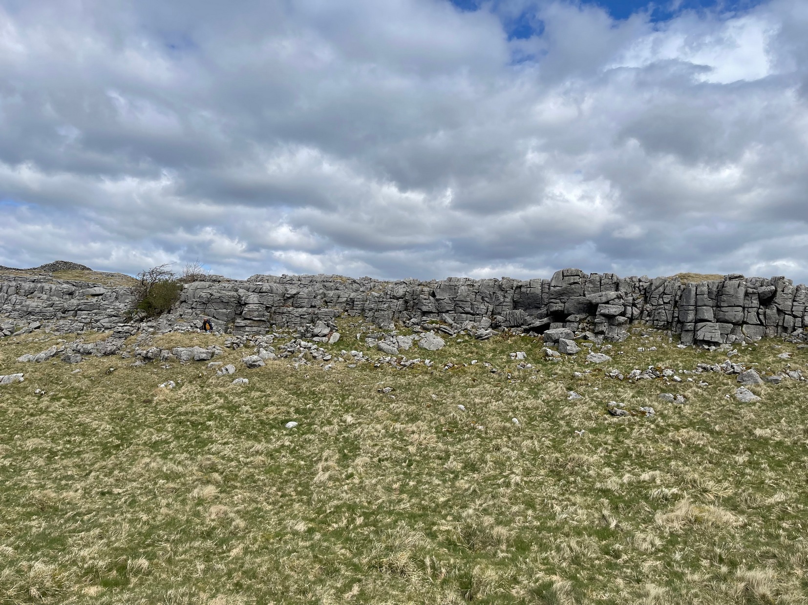
If you’re coming here you’re obviously making a day out of it! You’ll be taking the shortest route to the Ardoch (2) petroglyph, via the Foulford golf course along the A822, roughly halfway between Gilmerton and the entrance to the Sma’ Glen. From here, take the track eastwards into the hills, and literally ¾-mile along you reach the pylon; keep along the same track for another 200 yards and on your left watch out for the track-cum-footpath going up the slope past the petroglyph, onto the hilltop, then through the gate and down the path for about ⅔-mile until you reach the burn. On the other side, go through the gate and 100 yards uphill through another one, walk immediately to your left alongside the fence. About 20 yards from the wall, look at the ground. Zigzag about!
Archaeology & History
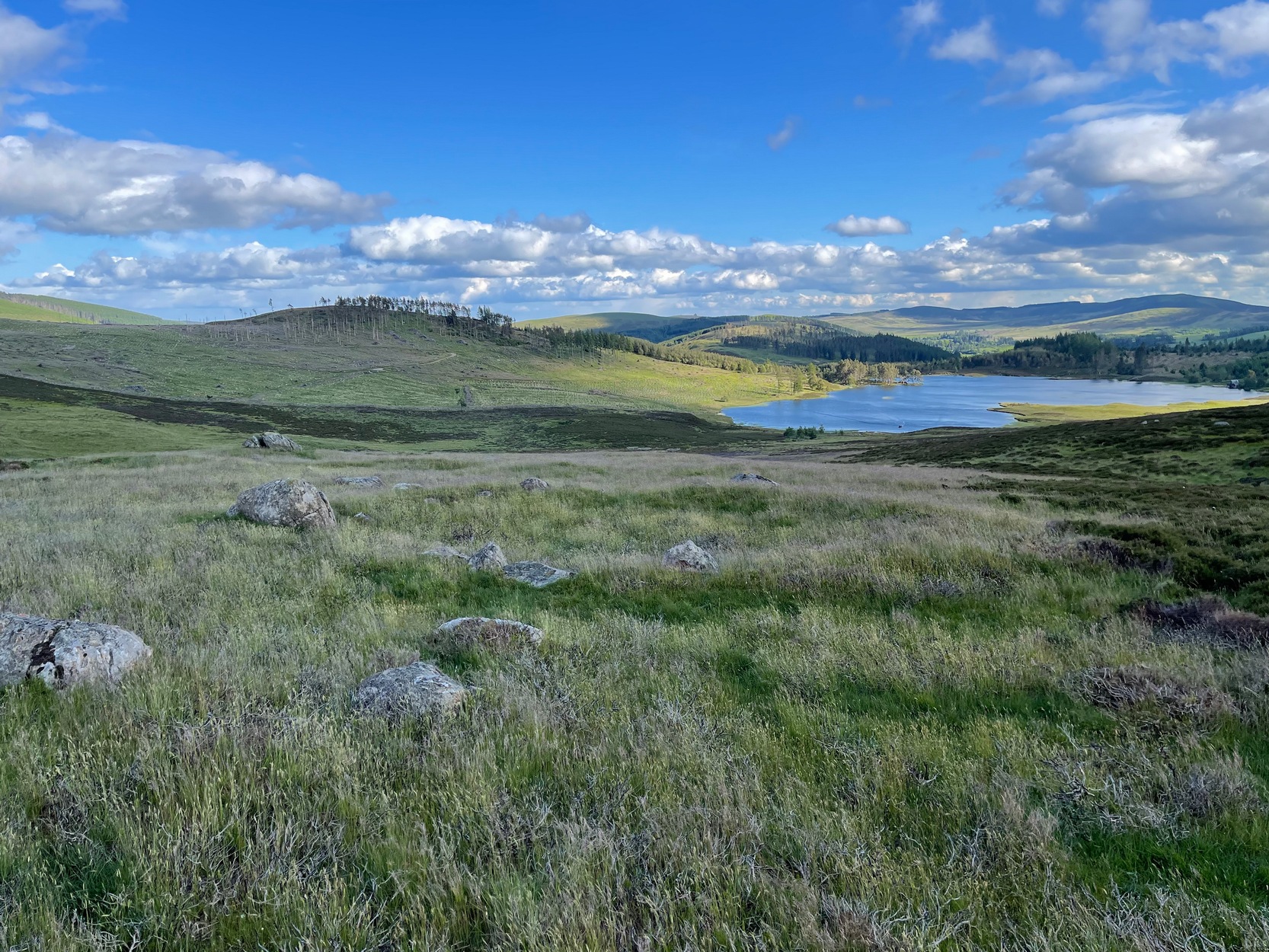
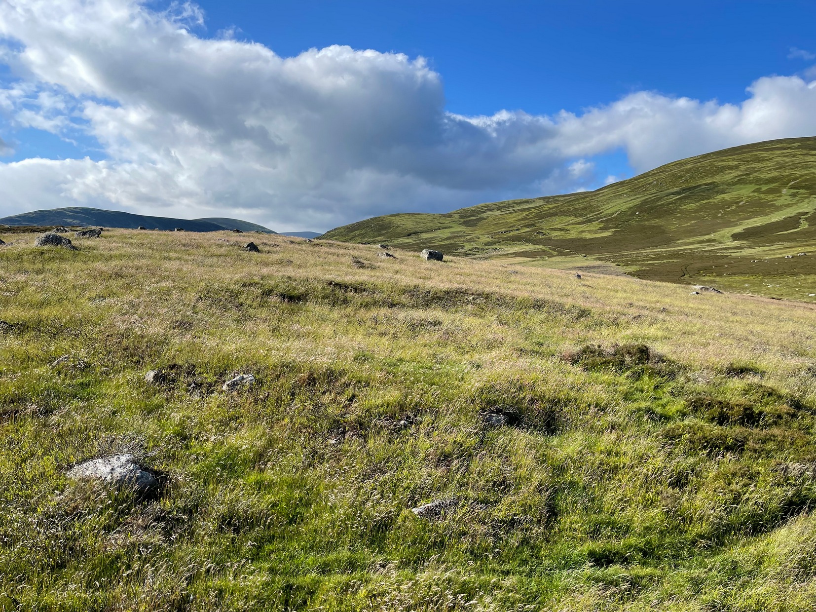
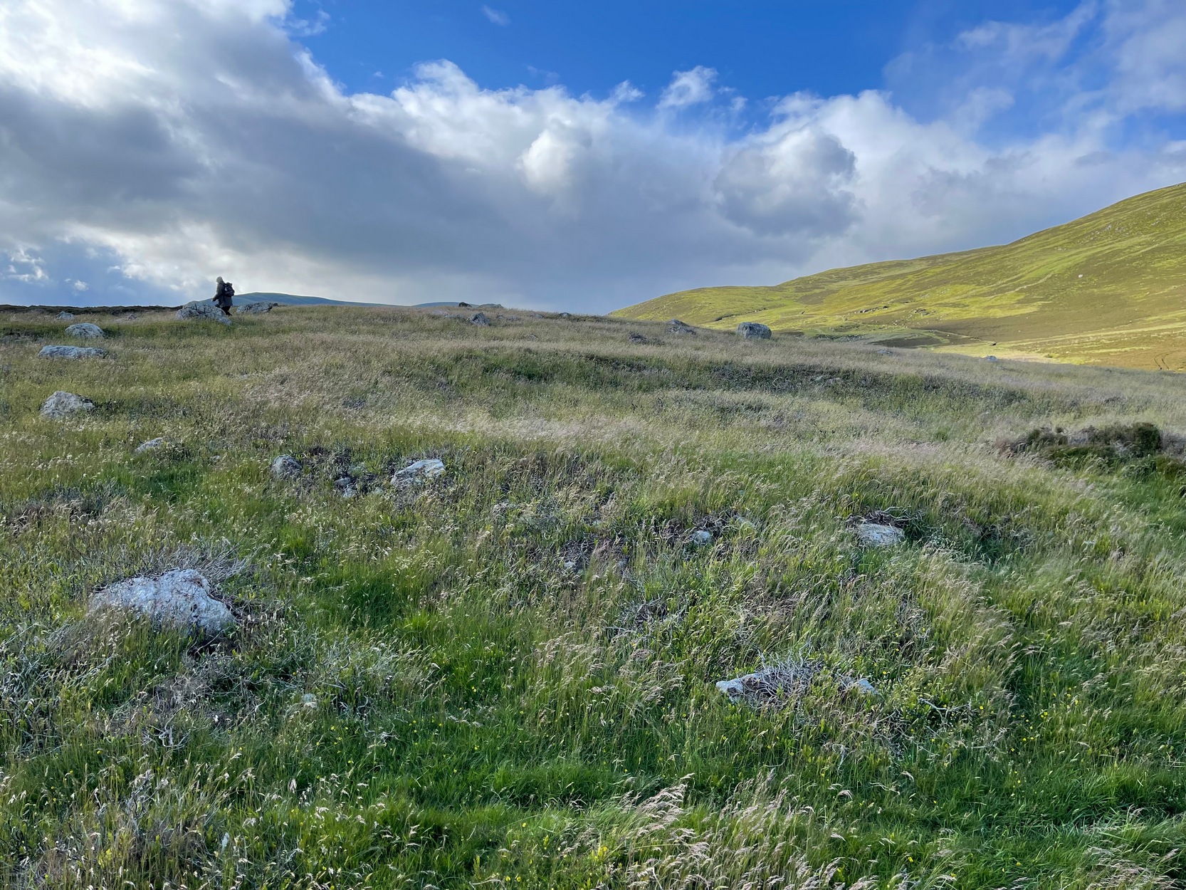
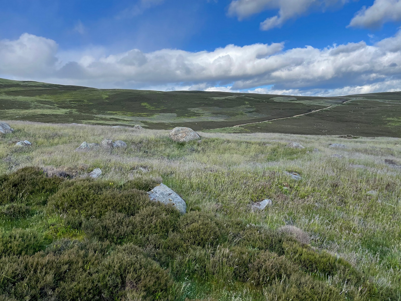
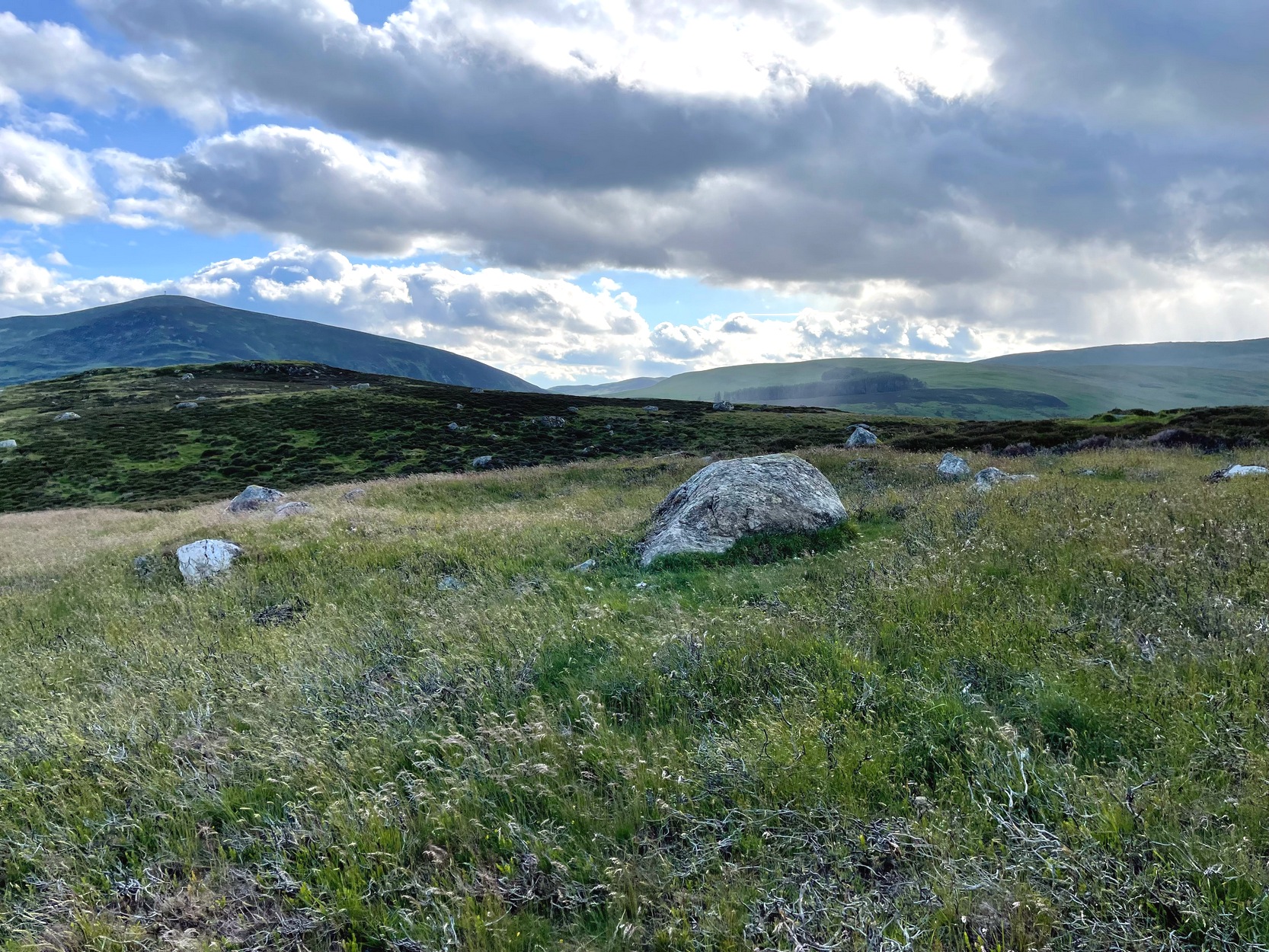
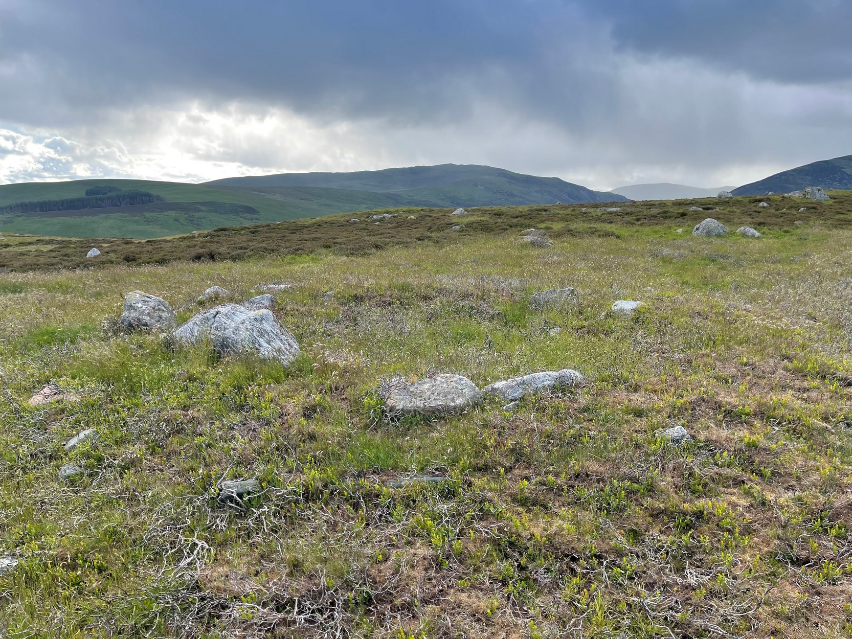
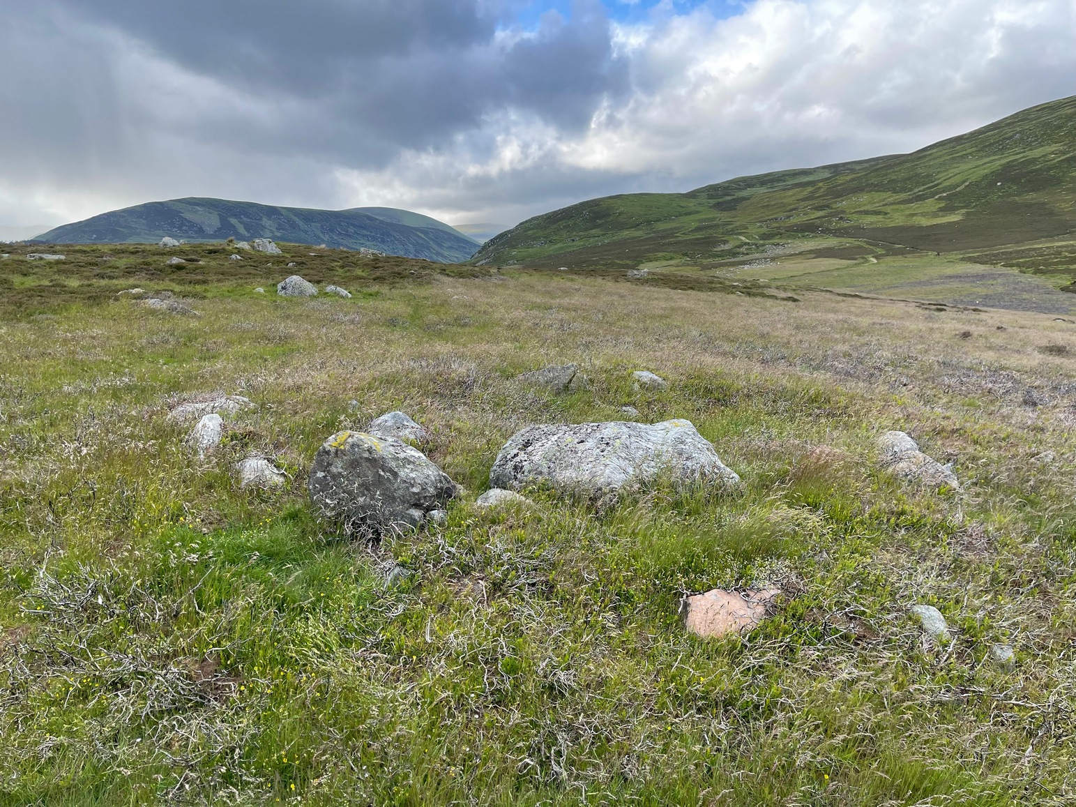
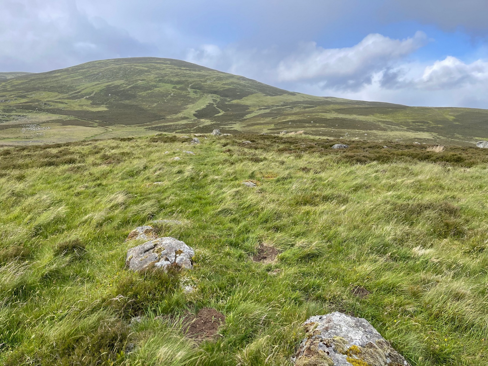
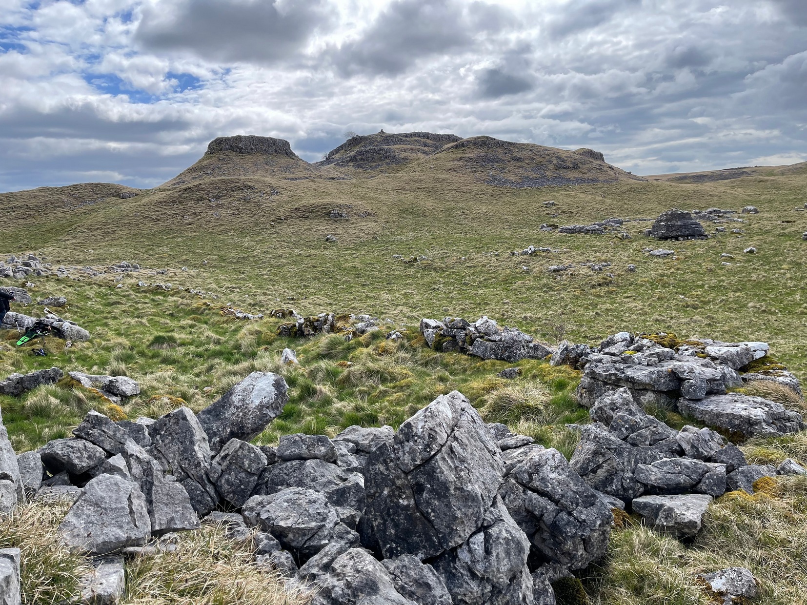
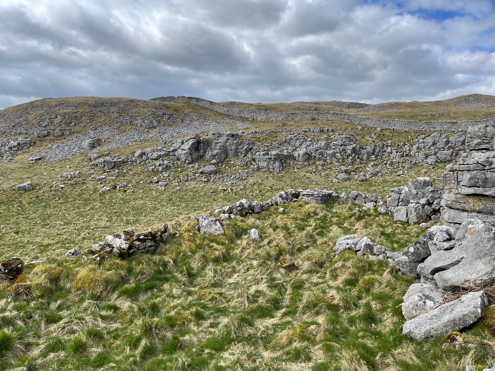
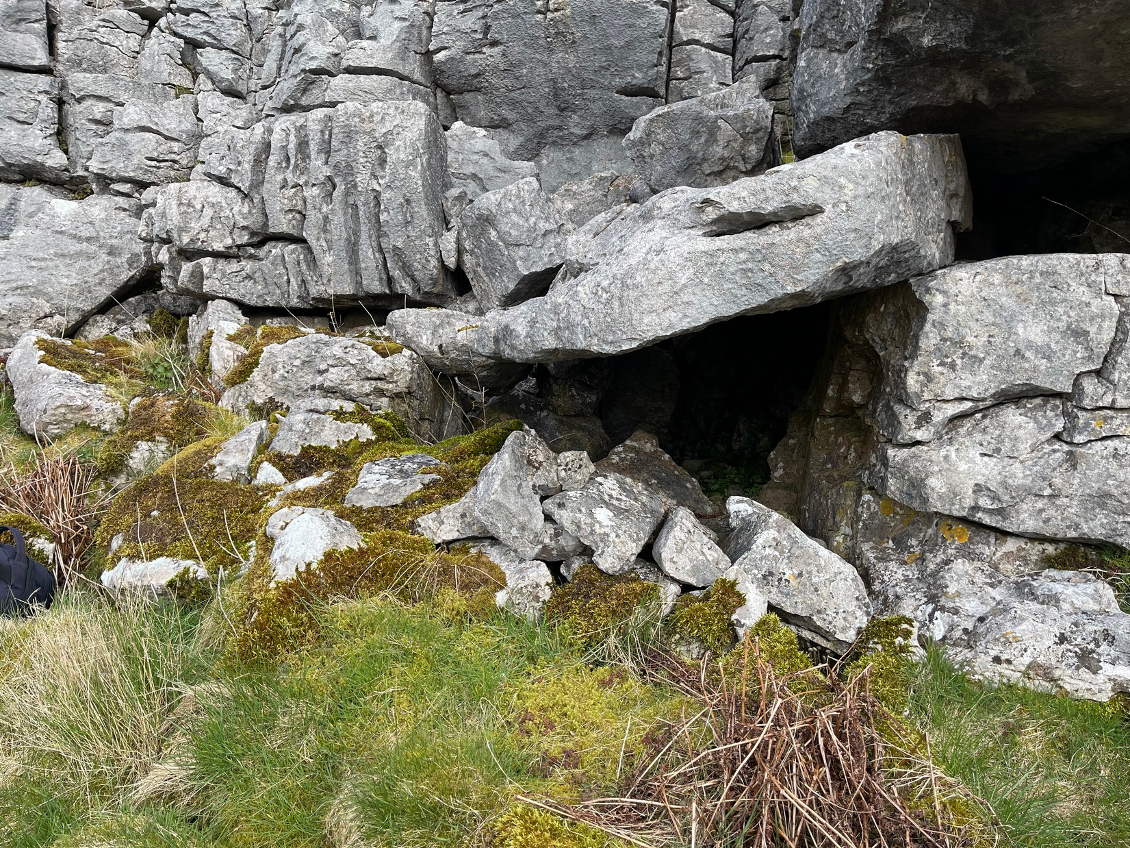
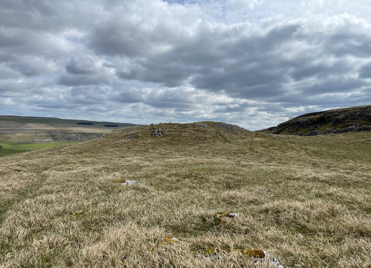
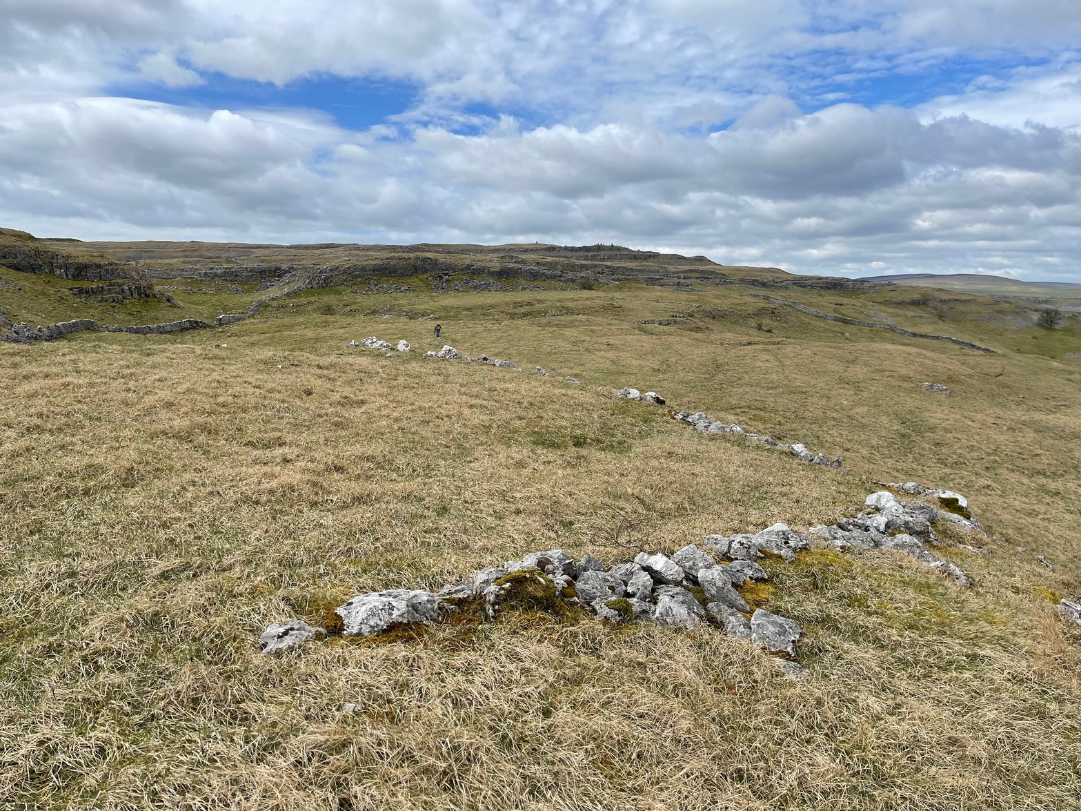
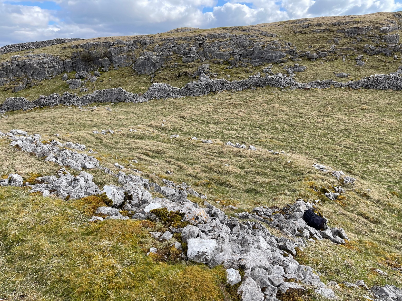
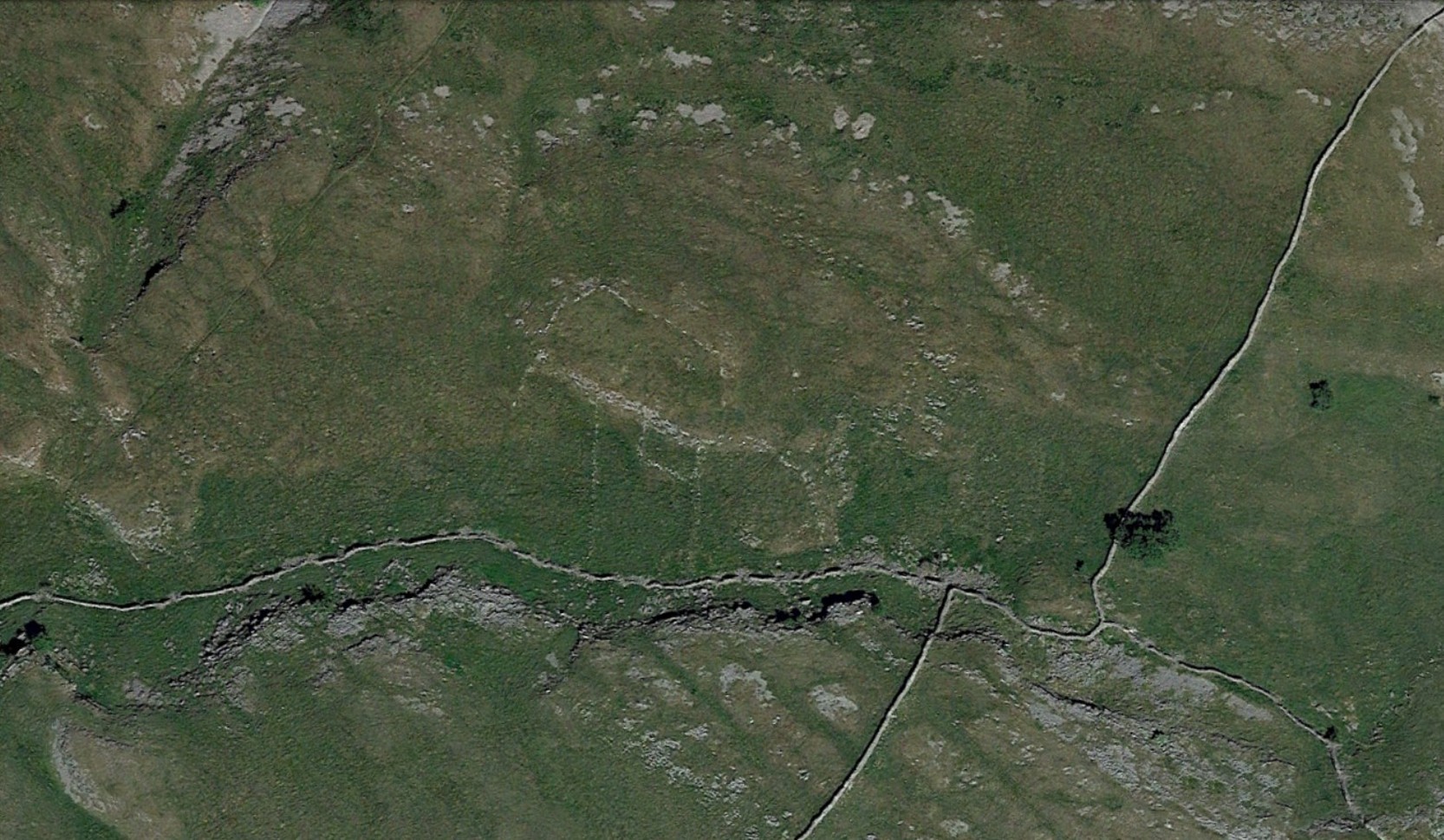
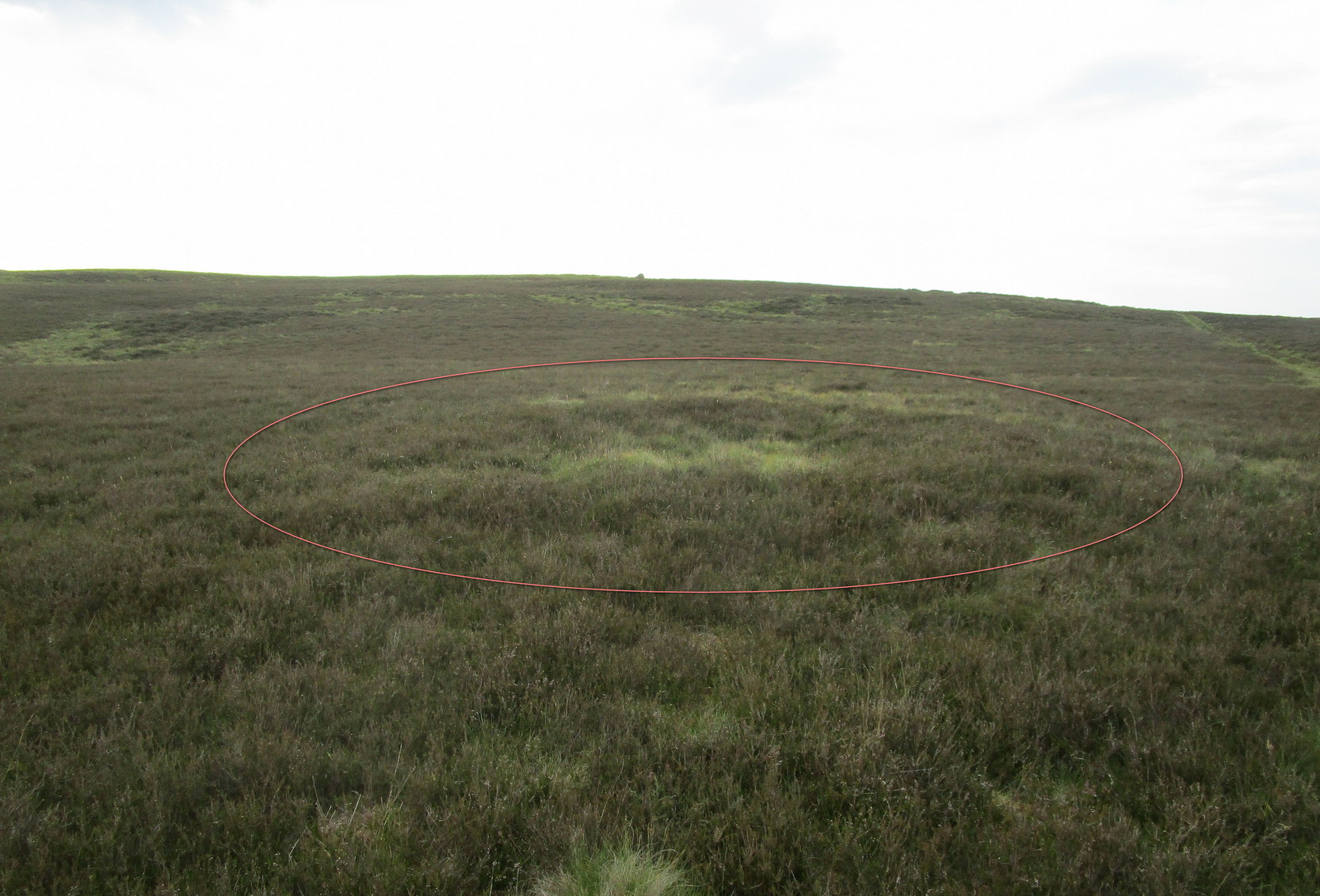
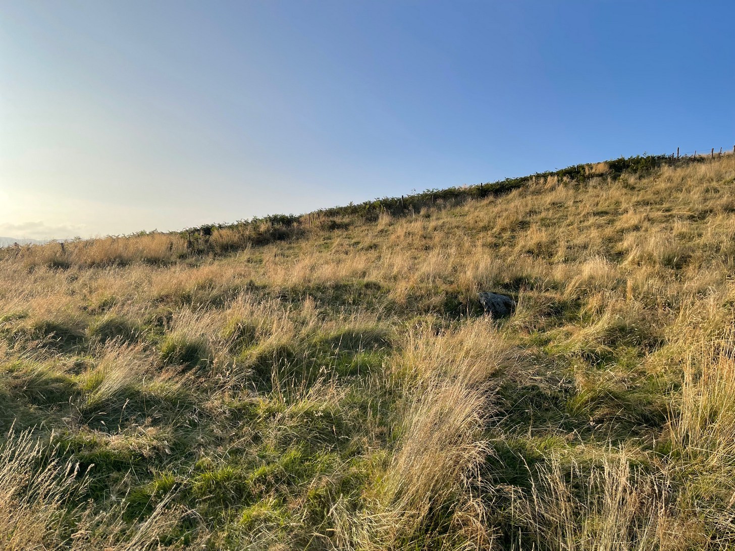
Two distinct but very overgrown hut circles sit next to each other on the first ridge above the burn. When they were first built—sometime in the Bronze Age most likely—the landscape here was slightly different to what we see today. Scattered woodland of hazel, birch and Scots pine lived all across these hills and the small burn 100 yards below would have been much faster flowing, with trout and smaller fish in plentiful supply. The large cup-marked stone between the burn and these huts would have had some magico-religious meaning to the people living here. Indeed, it may have been carved by the people who built the huts, or they might have rested here due to its presence. I point out these simple ingredients to give a little more life to a site which, today, seems so isolated, lonely and unimpressive. It’s essential that we paint the history of this and all our ancient monuments with the colourful shades they lived within: of the forests and their animals, so as to give these seemingly bland lifeless remains a feeling in order to rekindle their history.
Apart from the large petroglyph less than 100 yards below, these hut circle are apparently in isolation if we go by the record books. And they’re difficult to make out when the grasses are tall—as they were when I visited recently. They are both roughly the same size—about 11 yards across—and, most likely, each housed a small family. The one closest to the wall is the slightly smaller of the two. It was first reported by Miss Comrie (1972) who initially only noticed one of the two huts—probably due to the long grasses. She told that,
“On an area known as Buchanty Hill at 1000ft is a hut circle with a diameter of 11mand wall width of 2m. Situated in a hollow, sheltered from the north and with an entrance on the downward-side facing south. The walling has no obvious inner or outer facing.”
On my visit to this place, the silence was deafening and the fading daylight painted the hills with a stunning velvet breath all across the veil of Her body. It’s a gorgeous isolated place that you might aswell sit down with after you’ve finished looking at the rock art…
References:
- Comrie, J.E.M., “Fowlis Wester Parish: Hut Circle,” in Discovery & Excavation, Scotland, 1972.
© Paul Bennett, The Northern Antiquarian