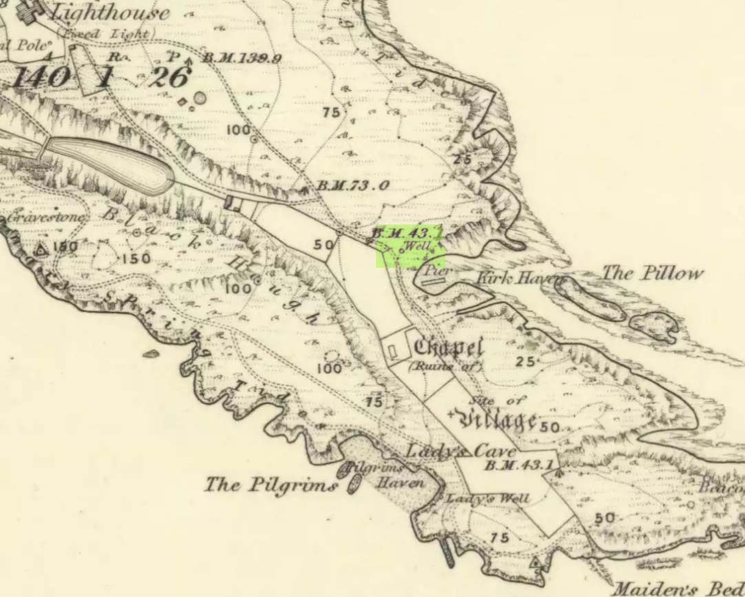
Holy Well (destroyed?): OS Grid Reference – NS 7787 9252?
Archaeology & History
A small but ancient chapel once existed in Cambusbarron, long ago, located about one hundred yards east of the Chapel or Christ’s Well. William Drysdale (1904) told that, apart from the Chapel Well and nearby St. Thomas’ Well, “several other wells in the locality were believed to possess healing virtues.” It was J.S. Fleming (1898) who said that, “attached to Cambusbarron Chapel two other holy but nameless wells are stated to have been in existence in 1866, on the brink of Glenmoray Burn, near the chapel itself.”
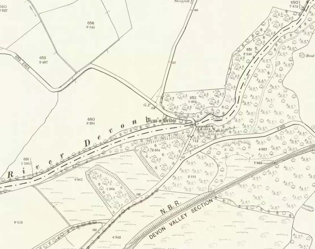
A writer for the Stirling Observer in 1871 told that one of these holy wells was in fact to “be seen near the brink of a little burn which trickles from the miniature glen of Glenmoray, visible on the hillside, just below the lowest reservoir” above Touch, more than a mile away (heading up towards St Corbet’s Well). The other was said to be near Johnnie’s Burn, a mile to the west. In Fleming’s (1898) opinion however, neither of these sites were feasible, as he walked all along the course of both burns and could find no other wells. Does anyone know any different?
References:
- Drysdale, William, Auld Biggins of Stirling, Eneas Mackay: Stirling 1904.
- Fleming, J.S., Old Nooks of Stirling, Delineated and Described, Munro & Jamieson: Stirling 1898.
© Paul Bennett, The Northern Antiquarian