Holy Well (destroyed): OS Grid-Reference – NT 3452 7264
Archaeology & History
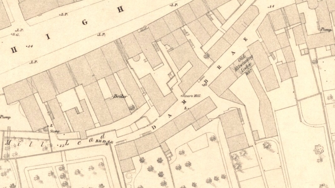
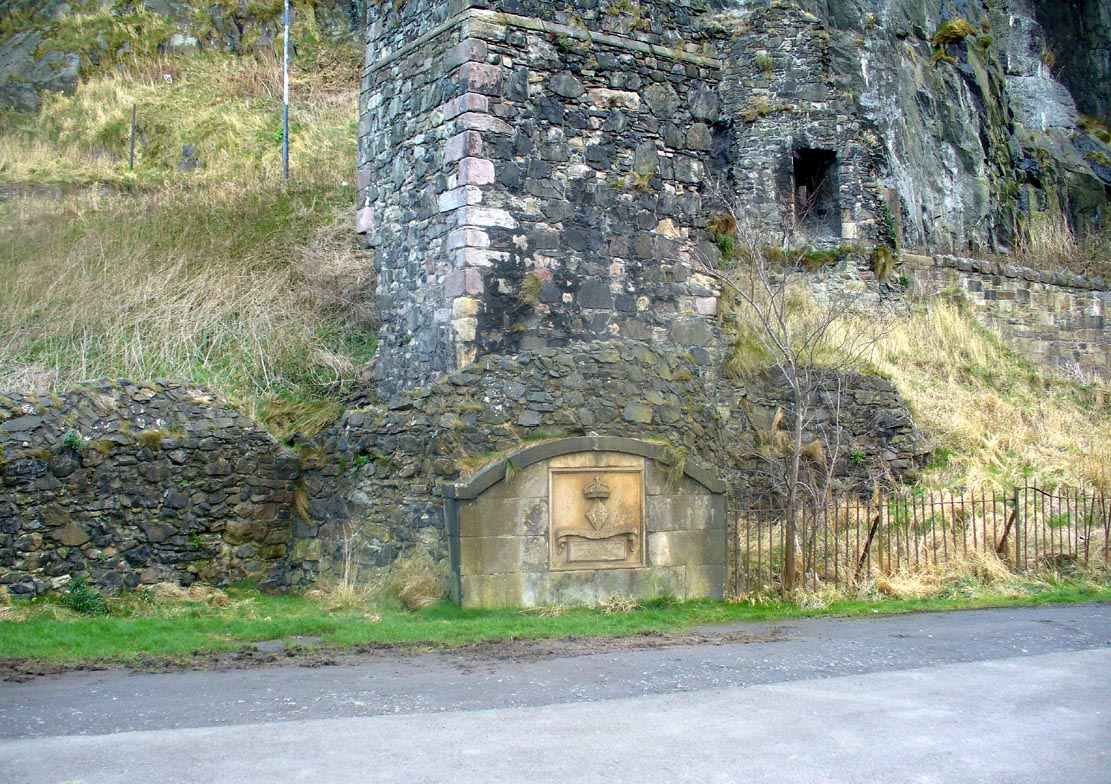
First mentioned in the Scottish Statistical Account of 1845, its name originates from being attached to the vicarage of nearby St. Michael’s church. Highlighted on the 1853 township map of Musselburgh, this forgotten holy well was described in the middle of the 19th century by local historian James Paterson (1857). It was located near the middle of town, along a back-street south of the High Street. Mr Paterson told us that:
“At the Dam Brae there is still a well, celebrated for the excellence of its water, called ‘the vicar’s well’, from which it is believed the present manse occupies the site of the ancient vicarage. It lies to the southeast of the Brae, and the wall of the ground approaches pretty close to the mill lead, or damn, as it is called. It is well surrounded with old trees.”
When it was described by Mr Beveridge in the 1845 Statistical Account, the spring had been covered by a pump. Local lore told how the waters of this ancient Well was said by housewives to be excellent in the infusion of tea; and although its name was spoke in local dialect as the ‘Bickers Well’, Beveridge told it to mean the “Vicars Well.” There is the obvious possibility that the ‘bickers’—as in chit-chat and gossip—related to it being where local folk simply met and chatted.
When Mr Stirling (1894) wrote his account of the adjacent Inveresk parish, he told how water from the Vicar’s Well,
“was in much request till a few years ago, when its use was forbidden and its site enclosed (for) sanitary considerations.”
References:
- Bennett, Paul, Ancient and Holy Wells of Edinburgh, TNA 2018.
- Paterson, James, History of the Regality of Musselburgh, James Gordon: Musselburgh 1857.
- Stirling, R.M., Inveresk Parish Lore from Pagan Times, T.C. Blair: Musselburgh 1894.
© Paul Bennett, The Northern Antiquarian