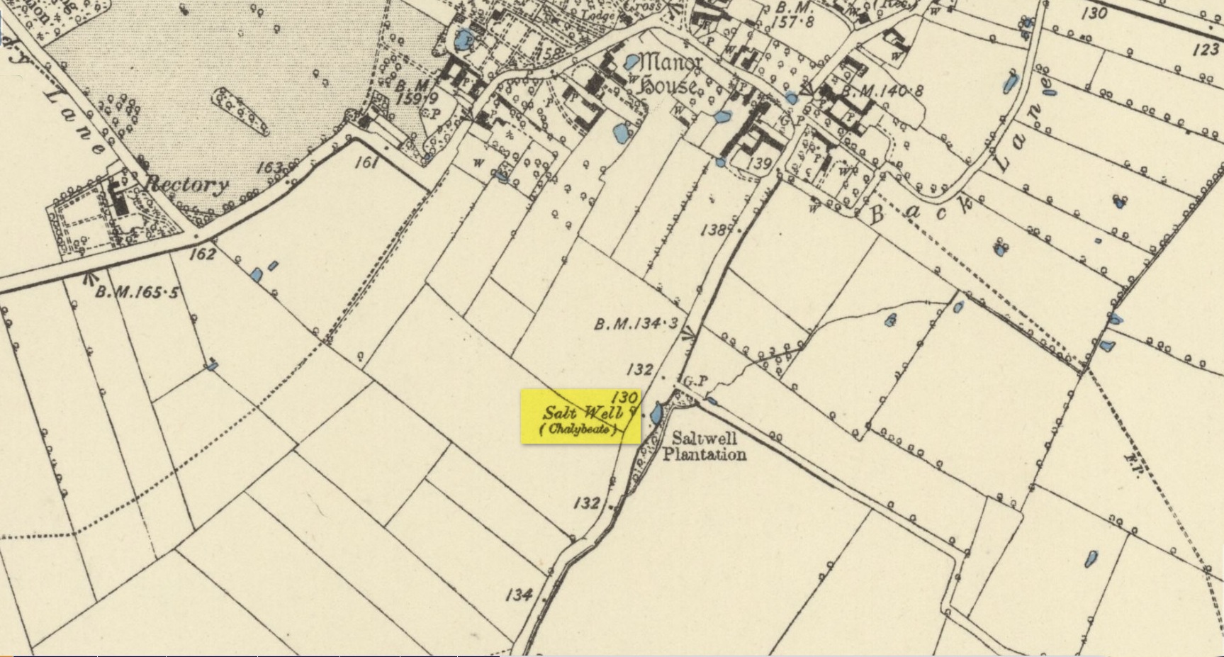
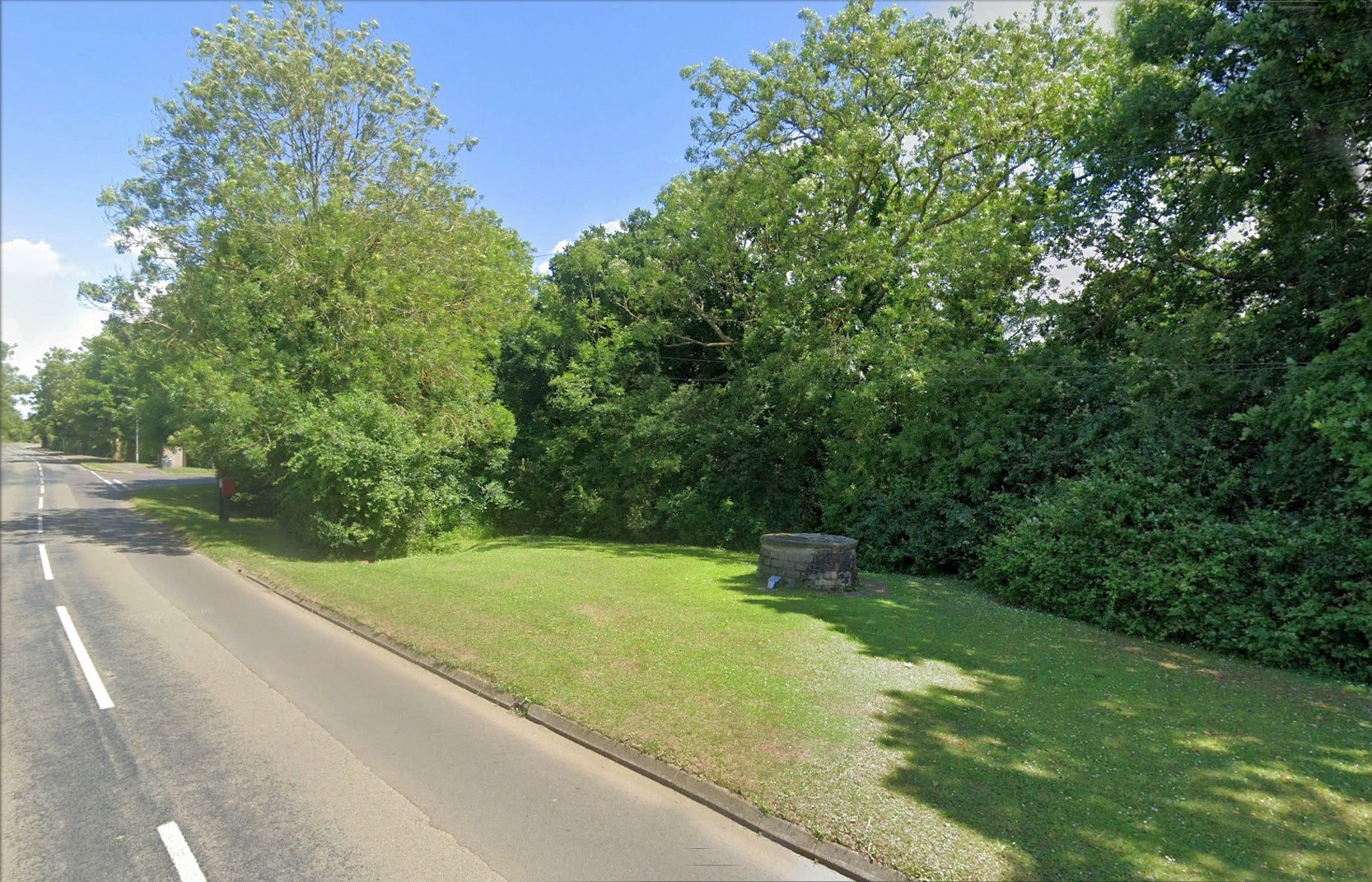
Holy Well (destroyed): OS Grid Reference – SP 4506 4055
Archaeology & History
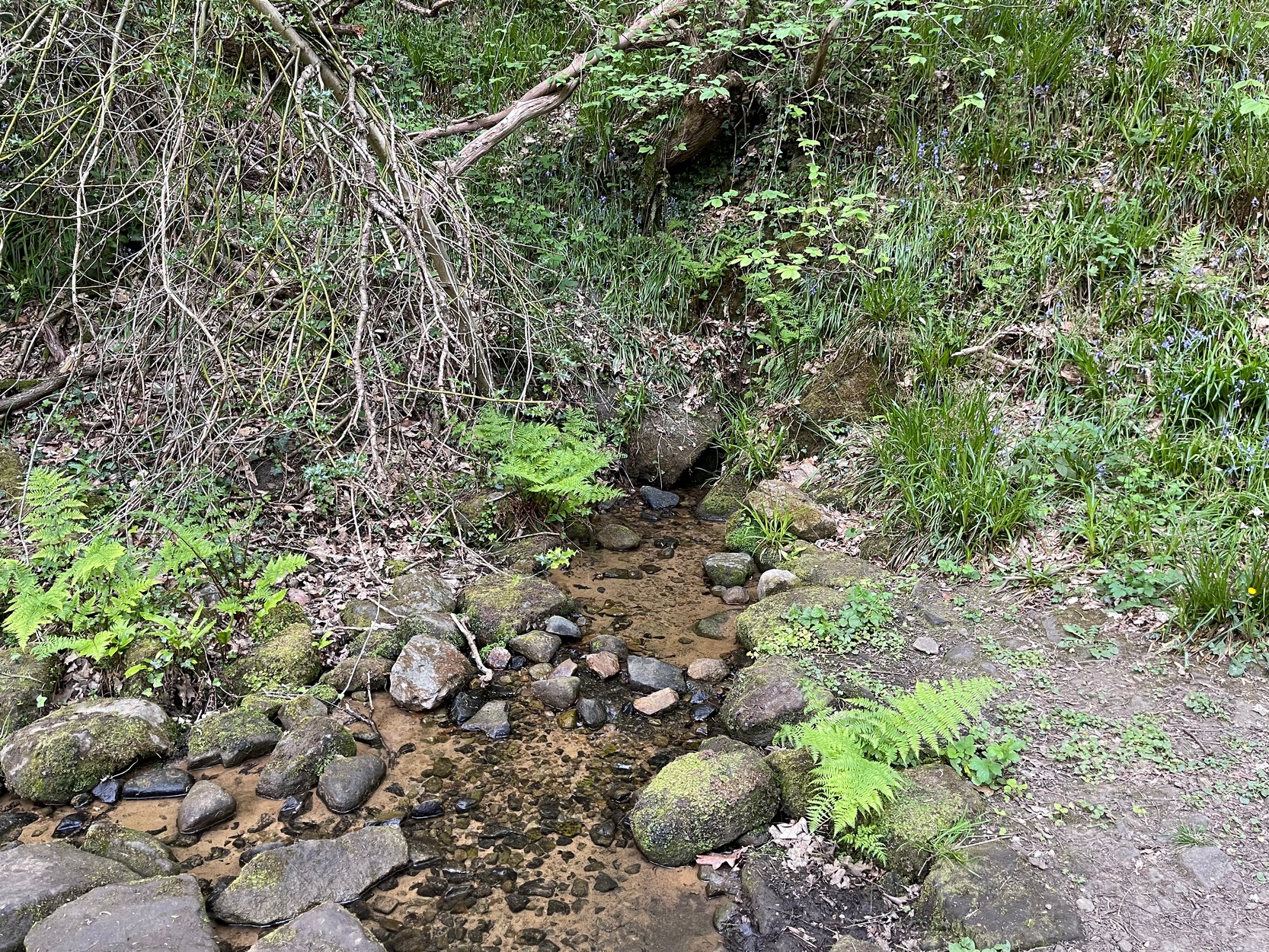
The holy well of Banbury seems to have been destroyed sometime in the second-half of the 19th century, when the industrialists built over the area. When the historian Alfred Beesley (1841) wrote about it, the waters were still running. He told it to be, “a chalybeate spring, well-known and still often visited, situated on the west side of the town, a little north of the footway leading to North Newington.”
The footpath is obviously long gone—as is the well. It’s iron-bearing (chalybeate) properties would have given the waters good fortifying properties, perhaps of some renown to local people yet, according to Mr Beesley, it was a slow-flowing spring. In his brief history of the site, he also gave us the results of a chemical examination of its healing waters, telling us:
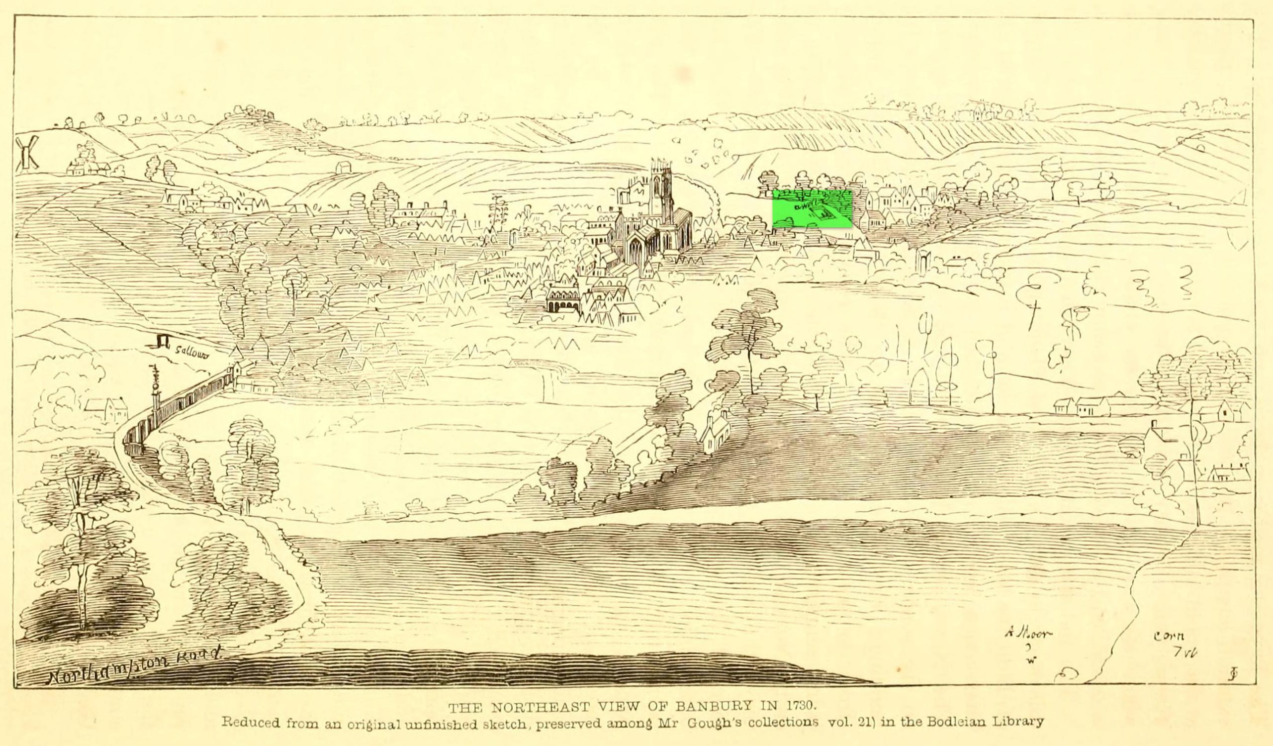
“This is called St. Stephen’s Well in a plan of Sir John Cope’s property at Banbury made in 1764. It also appears prominently as “A Well ” in an unfinished view of Banbury made in 1730 (illustrated above)….
The water of this spring is perfectly clear and colourless, having a brisk and slightly chalybeate taste. The stone channel is coated with a light red deposit, and a scum of the same colour appears on the water in parts where stagnant. The spring discharges from half a gallon to one gallon in a minute. In 32 oz. of the water at 60° are,
Carbonic Acid gas, 5 cubic inches
Hydrochlorate Magnesia, 0.21 grains.
Chloride Sodium or common Salt, 0.54
Sulphate Lime, 1.5
Carbonate Lime, 3.8
Protoxide Iron, 0.024
Silica a trace
Total weight of solid contents – 6.074″
Folklore
St. Stephen is an odd character. His annual celebration or feast day in Britain is December 26. (in eastern countries it’s a day later) Rites connected to this character are decidedly heathen in nature. From the 10th century, in England, St Stephen’s Day has been inexorably intertwined with horses, bleeding them on his feast days, apparently for their own health. Water blessed by priests on this day would be kept for the year and used as a medicine for horses during that time. Also on this day, young lads would “hunt the wren” and, once caught, impale it on top of a long pole and take it from house to house. Despite this curious motif being a puzzle to folklore students, Mircea Eliade (1964) explained how this symbolism is extremely archaic and “the bird perched on a stick is a frequent symbol in shamanic circles.”
References:
- Beesley, Alfred, The History of Banbury, Nichols & Son: London 1841.
- Eliade, Mircea, Shamanism – Archaic Techniques of Ecstasy, Princeton University Press 1964.
- Harte, Jeremy, English Holy Wells – volume 2, Heart of Albion press: Wymeswold 2008.
- Johnson, William P., The History of Banbury, G. Walford: Banbury 1860.
Acknowledgements: Huge thanks for use of the Ordnance Survey map in this site profile, reproduced with the kind permission of the National Library of Scotland.
© Paul Bennett, The Northern Antiquarian