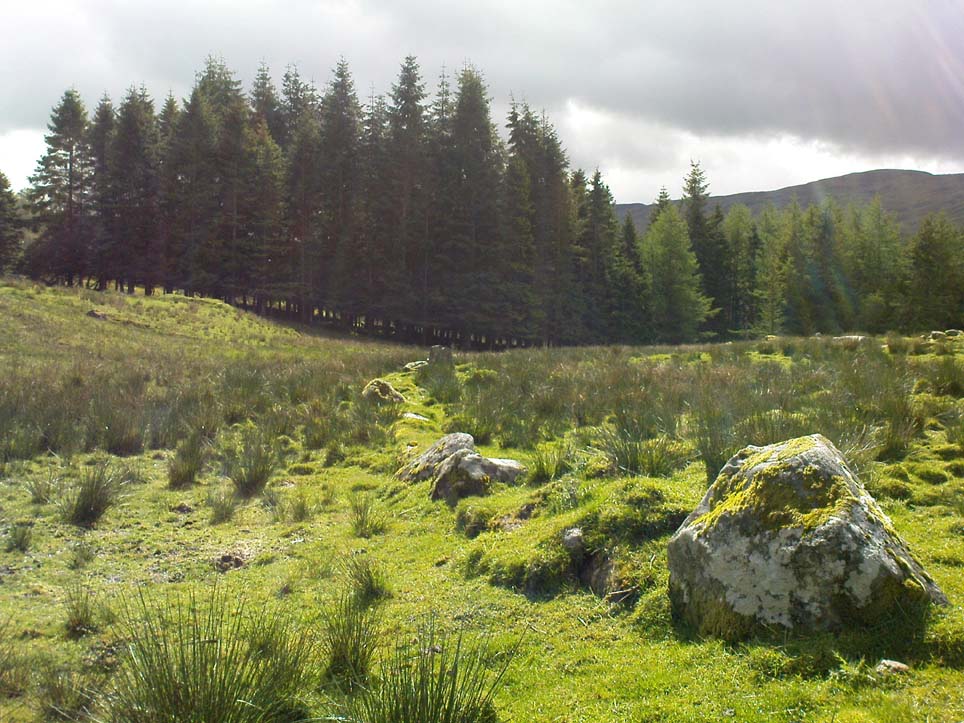
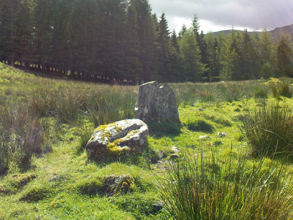
St. Palladius’ Footprint, Camusvrachan, Glen Lyon, Perthshire

Legendary Stone:  OS Grid Reference – NN 62626 47685

Also Known as:

  1. Craig Dianaidh
  2. Rock of Safety

Getting Here

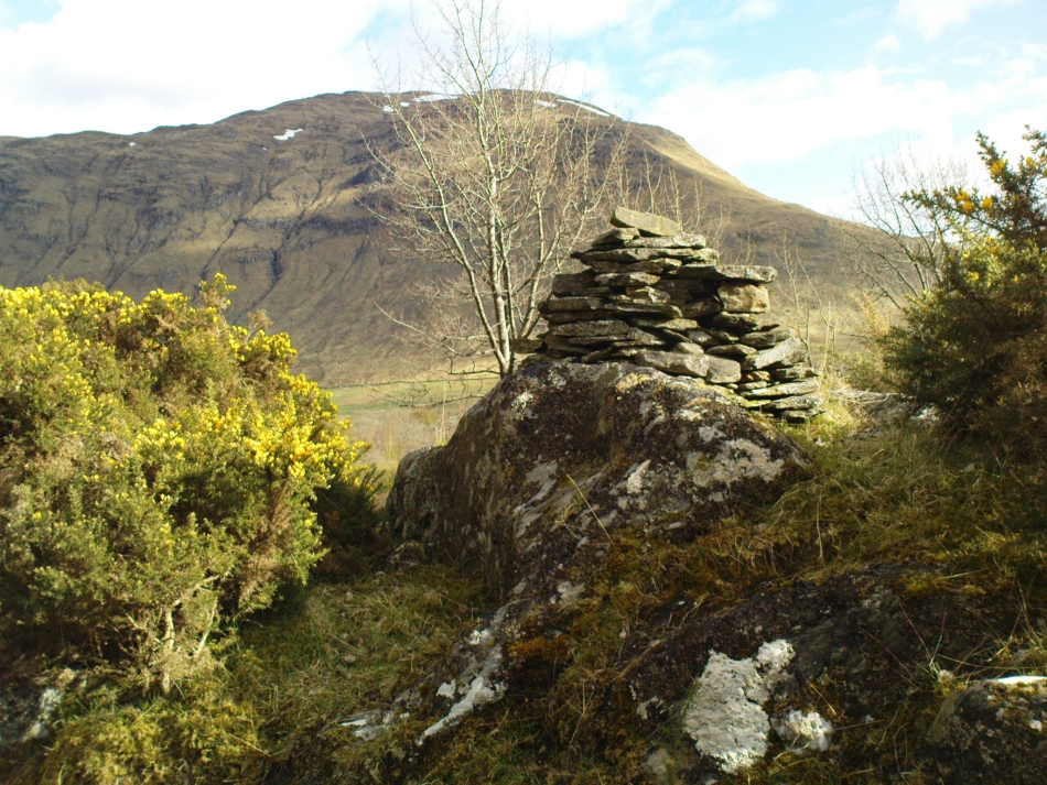
The rocky cairn of St. Palladius

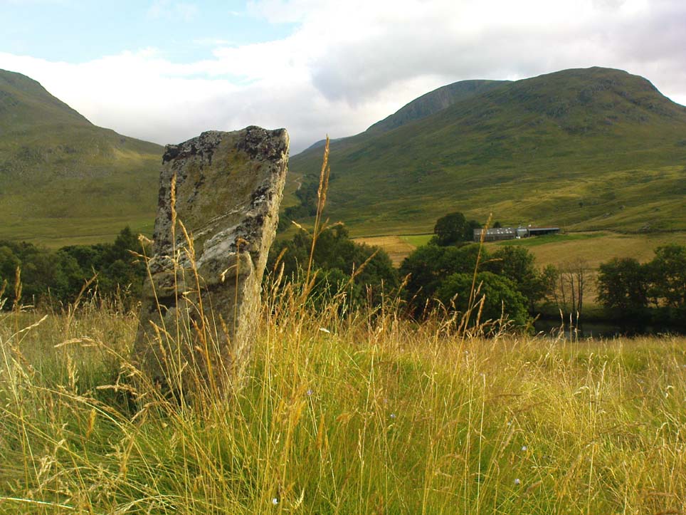
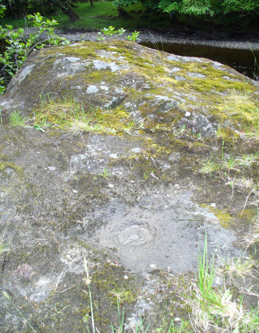
From Fortingall, get to the standing stone of Adamnan’s Cross a few miles down the stunning Glen Lyon.  Barely 100 yards before you reach the stone, notice the overgrown gorse-covered rocky rise across the road, just past Craigianie Farm.  As you climb to the top of this small rocky rise, you’ll see a cairn of stones on its top.  Just below it, into the solid rock, you’ll see a footprint-shaped hollow etched into the stone.  If it seems hidden, just keep looking – you’ll find it…

Archaeology & History
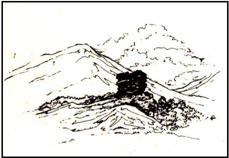
St. Palladius Stone, Glen Lyon

When Ratcliffe Barnatt (1944) visited Glen Lyon in the 1940s, this legendary rock was one of his stopping points.  “When we have passed by Ruskich and Slatich,” he wrote, “we come to that sacred spot, Craig Dianaidh, the Rock of Safety, where, until about 1480, solemn and judicial meetings were held.”  The old rock was known through recent ages, “as a preaching hill, a motehill and a justiciary court,” said Hilary Wheater (1981), and upon its top is the curious ‘footprint’ which Nature’s blood would fill on all but the hottest of summers.  It is this geological feature that gave the stone is name, long ago.

Of known historical events here, Wheater further told:

“It was on this rock…that the Baron Courts of Glenlyon were held.  Law and order was kept by regular courts held by the Chief or Landowner. The Baron-Bailiary of each area was appointed by Royal Charter.  Fifteen men were chosen as a jury and the laird or his baile presided.  To this court were brought all the problems and grievances of the people.  Here the miller accused several men of refusing to take part in the compulsory ‘hamganging’ of a new millstone; here a man was fined for brewing ale without a license; here a neighbour was accused of putting the ‘evil eye’ on the cow of the croft next door so it produced no milk; and here a man was prosecuted for ‘taking of ane sore horse of his to Rannoch in the summer of 1629 and putting on him ane great burder of timber, and letting him go through the wood where he stuck between two trees all night and the timber on his back.’  However, he was acquitted when he was able to prove that the horse was fit enough after this for another man to be able to take it to Edinburgh soon after.”

St Palladius Footprint

As well as being a moot site, it is more than probable that this footprint, like the one near the top of Dunadd in Argyll—and others scattering the Highlands and beyond—was an initiation stone, perhaps for local tribal elders or ancient kings.  Janet Bord (2004) writes about them as places of ritual inauguration in her survey of such places.

Folklore
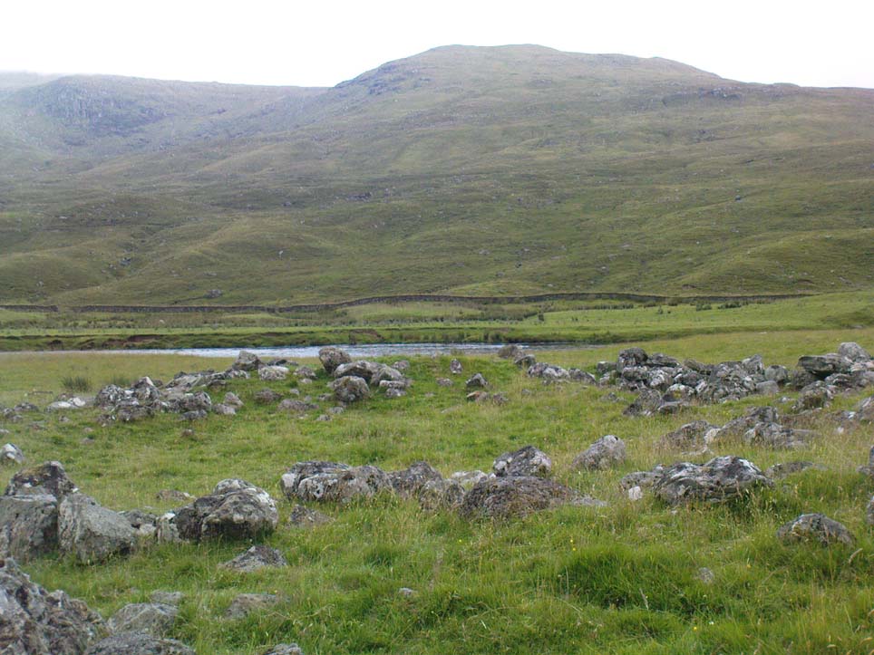
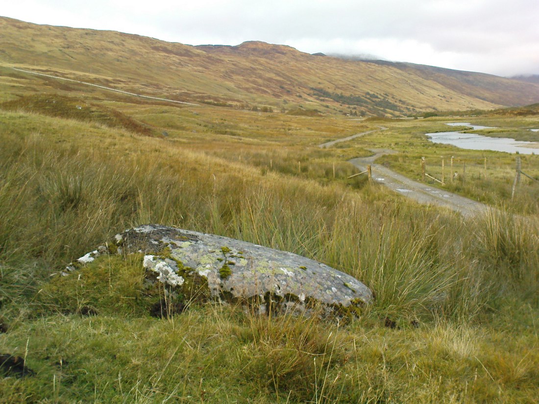
The legendary site, looking south

This legendary rock would probably have had earlier mythic association than the one ascribing it to St. Palladius—but as yet I have found no written lore telling the nature of such a spirit, so would only perhaps discern the original genius loci by lengthy encounters with the rock in question, through mist and storm and wintry months, alone.  It is known in local folklore that Palladius was in fact an urisk: a solitary spirit of steep streams that few humans encounter due to their lonely habits amidst hidden abodes in dark and ancient gorges.  Such urisks dwelt in numbers amongst many of the steep falls in this landscape — and still do, if the words of old locals are to be believed. Here,

“St Palladius was a goblin saint, an urisk that dwelt in a mountain burn and was sanctified by the people.”

…and some rocks by the stream up the mountain immediately above this “footprint” was one of the places the urisk was known to dwell.

…to be continued…

References:

  1. Barnatt, T. Ratcliffe, The Road to Rannoch and the Summer Isles, John Grant: Edinburgh 1944.
  2. Bord, Janet, Footprints in Stone, Heart of Albion Press 2004.
  3. Fraser, Duncan, Highland Perthshire, Standard Press: Montrose 1969.
  4. Wheater, Hilary, Aberfeldy to Glenlyon, Appin Publications: Aberfeldy 1981.

© Paul Bennett, The Northern Antiquarian

Duncroisk (2), Glen Lochay, Killin, Perthshire

Cup-and-Ring Stone:  OS Grid Reference – NN 53134 35850

Also Known as:

  1. Canmore ID 24169
  2. Duncroisk 3 (Canmore)

Getting Here

Cup-and-rings by the River Lochay

Troublesome to get to unless you’re reasonably fit.  Probably the easiest route is to get to the Duncroisk 3 cup-and-ring stone. Keep walking along the riverside, climb over the first tall wooden fence and onwards till you reach the rocky crag reaching into the river Lochay. By whichever means possible, get yourself up and round this crag, but keep by the riverside till you get to the easier walkable rocky outcrop protruding into the river on the other side of the drop.  Hereby, on one of the stones, look and you’ll find these faint cup-and-ring symbols.

Archaeology & History

Although this carving was first described in Edward Cormack’s (1952) essay on the prehistoric carvings of the district, they have subsequently proved difficult to locate by the Royal Commission lads and other archaeologists.  I’ve been here a few times looking for it and never managed to find it — until last week.  When Mr Cormack first told of the design, he said:

“On a smooth rock surface just above the mouth of the small burn running into the Lochay, immediately west of the cup-marked ridge, are two cup-and-ring markings a yard apart. The rings are curiously rough edged, and do not give the same impression of weathering as those on the ridge; possibly they have been silted over shortly after being cut, and exposed again relatively recently.”

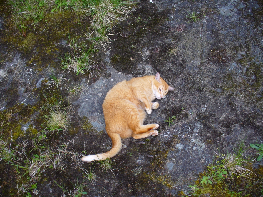
Flambeau the Cat uses the carving as his bed!

A few decades later, Ron Morris (1981) came across the carving, 10 yards “southeast of an elbow of River Lochay”, as he put it. Described as “hard to find”, he went on to give a basic outline of the design as he saw them, telling there to be “2 cups-and-one-ring, both probably complete, up to 16cm (6in) diameters, with radial grooves from cup to ring—up to 1cm deep.” Or more simply, two cup-and-rings, each with a line running from the centre to the surrounding ring.

After trying to find this carving on several occasions, without success (somehow!), it was brought to my attention under the brilliant guidance of a local cat called Flambeau only last week (no lies!).  In a venture down to the riverside, the great cat (in tandem with Pip the dog, who also ventures out with me to find ancient sites in this region) got to the riverside on the rock in question and began rolling about in the dust on the stone, mewing and purring away merrily!  It was really brilliant to watch. Sincerely heart-warming (soz…but I can’t help it!).

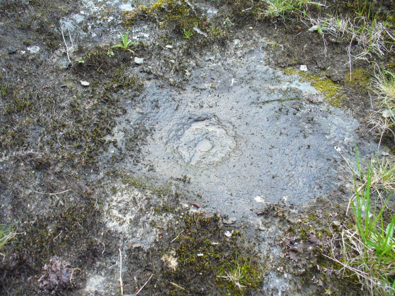
Primary cup-and-ring at Duncroisk-2
Primary cup-and-ring at Duncroisk (2)

I stepped over and complimented him as he looked superb (hence the photo, above) and he just kept purring. Then, curiously, he stood up and began scratching at the dried earth on the rock, mewing away whilst doing this.  Twas very odd indeed.  But there,  exactly where Flambeau has been scratching and rolling about, it seemed a faint cup-mark was apparent.  And such it was!  So I got on my knees and began cleaning away the dirt from the rock — and there, right where he’d been purring and playing, was the lost cup-and-ring carving!

Its location would suggest that the carving had some relationship with water: be that the spirit of the place, or a good site where fish can be had, or a place where someone had drowned, etc.  We’ll probably never know… But it’s a beautiful spot, with the impressive Stag Cottage carvings in the adjoining field, and the newly discovered Corrycharmaig East carvings on the other side of the river — plus many others in the area.

Folklore

The River Lochay where this carving is found is named after a dedication to the Black Goddess, according to Prof. W.J. Watson. (1926)  The stream by the side of the carving which runs into the River Lochay has been the place where faerie music has been heard by local people in times past.

References:

  1. Cormack, E.A., “Cross-Markings and Cup-Markings at Duncroisk, Glen Lochay,” in Proceedings of the Society of Antiquaries, Scotland, volume 84, 1952.
  2. Morris, Ronald W.B., The Prehistoric Rock Art of Southern Scotland, BAR: Oxford 1981.
  3. Royal Commission on the Ancient & Historical Monuments of Scotland, Archaeological Sites and Monuments of Stirling District, Central Region, Society of Antiquaries of Scotland 1979.
  4. Watson, W.J., The History of the Celtic Place-names of Scotland, Edinburgh 1926.

© Paul BennettThe Northern Antiquarian


Tomochrocher, Glen Lochay, Perthshire

Cup-Marked Stone:  OS Grid Reference – NN 457 359  —  NEW FIND

Getting Here

The stone in its setting

From Killin heading out along the northern Loch Tay road, turn left just past the Bridge of Lochay hotel and go right to the very end of Glen Lochay, just past Kenknock.  From here you’ve gotta keep walking along the glen’s dirt-track, and when you go through the third gate along (about a mile), another 100 yards on, keep your eyes peeled for a reasonably large boulder on the left of the track. This is your marker to go up on the right-hand side of the track, where the large stone is about 20 yards up the slope.

Archaeology & History

Three cup-marks & their lichen

Not far from a prehistoric hut circle relocated by archaeologist Dugald MacInnes I found this, a previously unrecorded cup-marked stone, when I was ambling about around the top of this beautiful valley last week.  It’s only a simple cup-marked stone with two very distinct cups and a probable third in the middle of the well-defined ones.  A covering of aged lichen was living on the carved rock and it seemed that there may have been other cups beneath the lichen — but I’ve got a real love of these old plants and wasn’t about to tear them from their homely stone.

There are some other little-known unrecorded human remains all along the slopes above here, which I’ll have a look at when next up this Valley of the Black Goddess…

© Paul Bennett, The Northern Antiquarian

Fingal’s Stone, Killin, Perthshire

Standing Stone:  OS Grid Reference – NN 5712 3301

Also Known as:

  1. Canmore ID 24192

Getting Here

Fingal’s Stone, Killin

Less than 100 yards up the road from the Co-op in Killin, take the footpath on the same side of the road into the park at the back of the buildings. Keep following the footpath round the back of the buildings and you’ll see the stone in front of you soon enough.

Archaeology & History

Another curious site in this quite beautiful mountainous arena.  Thought to have originally stood by the rounded fairy knoll a bit further up the hill, no one knows for sure when the stone was moved to its present position—but locals will tell you how the curious knob-end atop of the stone was also a later addition to the fallen original, when it was resurrected in the latter half of the 19th century.  C.G. Cash (1912) also found the fairy mound and its companions on the slope above to be of interesting, wondering, as I have, that “they might have been burial mounds.” The local historian William Gillies (1938) said of the stone:

“Both the Old and New Statistical Accounts of the parish of Killin make reference to a site near the village that had been pointed out from time immemorial as the burial place of Fingal, the hero of Celtic folk stories. At this point, which is in the middle of a field immediately behind the schoolhouse, there is a standing stone 2 feet 8 inches high and 5 feet in girth.  The stone had fallen, but in 1889 it was re-erected by Mr Malcolm Fergusson, a patriotic native of Breadalbane.  Without any reference to the original arrangement, a smaller stone was fixed on the top, and others were placed near it. The lands in the vicinity of Fingal’s Stone used to be called Stix.  The name suggests that here, as at Stix between Kenmore and Aberfeldy, there were a number of standing stones, of which this one alone remains.”

And it certainly smells that way… Yet no further monoliths have been found hereby or on the slopes above.

Folklore

Reputed to be a stone that marks the grave of the hero-figure, Fionn.  Local historian  Duncan Fraser (1973) told that:

“Killin is steeped in history and one of its memorials of the past is a standing stone in a field behind the school, that is said to mark the spot where the mighty Fionn lies buried.  He is believed to have died about the end of the Iron Age, in 283 AD.”

Gazing N, to the Cailleach

William Gillies (1938) also reported how tradition said that an early church and graveyard was once to be found at the original site of Fingal’s Stone. Legends of Finn, his magick and his encounters with both faerie and men are found all over the landscape in this neck o’ the woods….

References:

  1. Cash, C.G., “Archaeological Gleanings from Killin,” in Proceedings of the Society of Antiquaries of Scotland, volume 46, 1911-12.
  2. Fraser, Duncan, Highland Perthshire, Standard Press: Montrose 1973.
  3. Gillies, William A., In Famed Breadalbane, Munro Press: Perth 1938.
  4. Wheater, Hilary, Killin to Glencoe, Appin Publications: Aberfeldy 1982.

© Paul Bennett, The Northern Antiquarian

Firbrush Point, Killin, Perthshire

Dun (destroyed):  OS Grid Reference – NN 603 337

Archaeology & History

Not to be confused with the ‘fort’ shown on modern OS-maps on the wooded slopes a few hundred yards to the south, the denuded remains of this site were shown on an 18th century map of the area (the Breadalbane estate plans). Probably Iron Age in nature, the local historian William Gillies (1938) described the place in his fine work,

“According to the atlas of 1769 there were ruins of an ‘Ancient Castramentation’ at Firbrush Point on the farm of Auchmore. An examination of this little peninsula revealed the foundation of a very thick wall that at one time ran across its neck, and formed a defence on the landward side. It is probable that the stones were removed for the erection of the small pier and harbour close by.”

An assessment of the site by some of the Scottish Royal Commission lads in the late 1970s found no remains of the thick walling and it seems all remains of this fort have sadly been destroyed.

References:

  1. Gillies, William A., In Famed Breadalbane, Munro Press: Perth 1938.
  2. Royal Commission on the Ancient & Historical Monuments of Scotland, Archaeological Sites and Monuments of Stirling District, Central Region, Society of Antiquaries of Scotland 1979.

© Paul Bennett, The Northern Antiquarian 


Duncroisk, Glen Lochay, Perthshire

Dun (lost): OS Grid Reference – NN 539 386 (approximation)

Looking towards Laraig Bhreislich, from the south

Also Known as:

  1. Dun croisgh
  2. Lairig Breisleich
  3. Laraig Bhreislich

Archaeology & History

Although this site doesn’t appear in the modern records, the remote situation of the place suggests that some remains of the site could remain and be uncovered by diligent explorers and students. It is one of several lost “circular forts” that were described in William Gillies’ (1938) detailed historical text, that were first highlighted on a map of 1769. His brief description of this old fort told,

“The name ‘Duncroisg’ in Glenlochay, bears witness to the fort that once stood at the southern entrance to Laraig Bhreislich, the pass leading over the mountain to Glenlyon.”

There is is the possibility that some of the remote shielings clustered on the level at Airigh Allt an Eilein and Riabhaich used stones from this ancient site for their construction. On the level to the south of here are the overgrown remains of a prehistoric cairn, not included in archaeological surveys.

Note – Huge sections of prehistoric man-made walling have been located in the area, comprised of gigantic boulders, more reminiscent of enclosure walling.  The remains are extensive and huge, but severely overgrown in this remote landscape.  Watch This Space!

Folklore

Although not named specifically, this site would have been another of the Forts of the Fiann, or tribes of the hero-figure, Finn. The valley immediately adjacent to the location of the fort is still known as Fionn Ghleann, with the waters of Allt Fionn Ghleann strongly flowing through.

References:

  1. Gillies, William A., In Famed Breadalbane, Munro Press: Perth 1938.

© Paul Bennett, The Northern Antiquarian

Caisteal Mhic Neill, Cashlie, Glen Lyon, Perthshire

Dun:  OS Grid Reference – NN 49036 41779

Also Known as:

  1. Caistealan nam Fiann

Getting Here

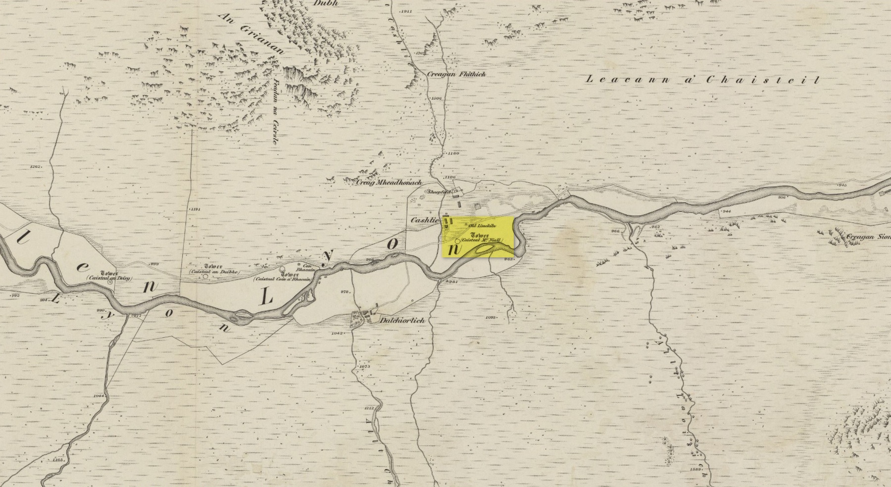
Site shown on 1867 OS-map

Truly remote, but easy to find once you’re nearing the western end of Glen Lyon. Going upstream, past Cashlie Dam, watch out for the well-preserved stone kiln on the left-hand side of the road, just before Cashlie house.  50 yards or further along, cross the road and in the field by the riverside, the circular mass of stones sorta gives the game away.

Archaeology & History

Shown on modern OS-maps as a ‘homestead’ and described variously by archaeologists and historians as a fort or a round-house, this is just one example of around twenty large prehistoric constructions that scatter the stunning mountainous Glen Lyon region which legend tells were the forts of the great hero-figure, Finn.  Three other constructions of the same nature are found just a few hundred yards further up the Glen from here.  Each is of roughly the same age and nature by the look of things.  Their walls are extremely wide and made up of very large rocks, which would have taken huge efforts to construct.

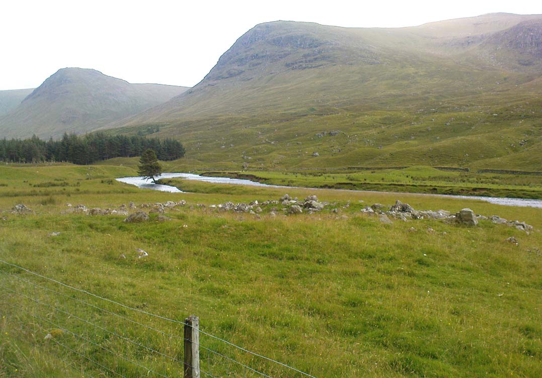
Caisteal Mhic Neill ruins, looking east
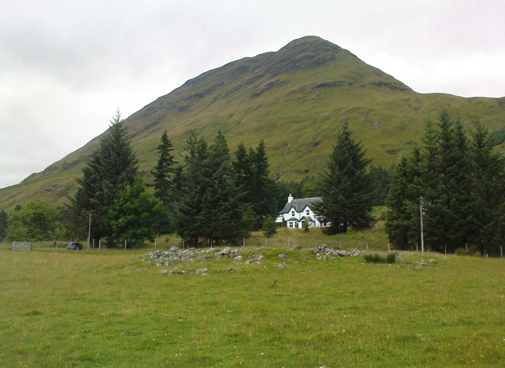
Caisteal Mhic Neill, with An Grianan behind

Highlighted on the 1867 OS-map as a “Tower”, the exact nature of this and its adjacent sites has yet to be academically ascertained, with the Canmore website ascribing the monument as a “settlement” – although, tradition tells them to be Scottish forts or duns, so we’ll stick with that until excavations tell otherwise!

The great Gaelic place-name master W.J. Watson (1912) told that:

“The fourth of the Cashlie towers is a few yards south of the road, right in front of Cashlie farmhouse, now a shooting lodge.  Though a quantity of large stones marks the site, the structure has been so badly knocked about that we found it impossible to take measurements sufficient for a plan. It was, however, apparently not circular, but rather oval. Its walls appeared to vary from about 9 feet to 12 feet 6 inches in thickness.”

Close-up of Caisteal walling

This is one of several other duns (or homesteads as the OS-map calls them) close to each other.

Folklore

Ascribed as one of Glen Lyon’s Caisteilean nam Fiann, or “castles of the Fiann”, Mr Watson (1912) again told how “there is a widely known saying, the earliest notice of which occurs in Pennant, who got it doubtless from the Rev. J. Stewart:

‘…Twelve castles had Fionn,
In the dark Bent-glen of the stones.'”

References:

  1. Gillies, William A., In Famed Breadalbane, Munro Press: Perth 1938.
  2. Watson, W.J., “The Circular Forts of North Perthshire,” in Proceedings of the Society of Antiquaries, Scotland, volume 47, 1912.

ACKNOWLEDGEMENTS:  Many thanks to Andy Sweet of Stravaiging Around Scotland, for pointing me to the W.J. Watson article.  And of course, a huge thanks to Marion—”I don’t have a clue where I am!”—Woolley, for getting us here….

© Paul Bennett, The Northern Antiquarian

Adamnan’s Cross, Camusvrachan, Glen Lyon, Perthshire

Standing Stone / Cross:  OS Grid Reference – NN 62537 47690

Also Known as:

  1. Eonan’s Cross

Getting Here

Adamnan’s Cross, Glen Lyon

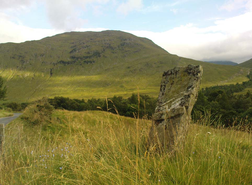
Take the road from Fortingall into the Glen. About 4 miles down, past the farmhouse of Slatich, then Craigianie, watch carefully as you round the small bend in the road, where you’ll see a small standing stone on top of a rounded mound, right by the south side of the road, just over the fence. Go through the gate to enter the field less than 100 yards further on and walk back onto the hillock.

Archaeology & History

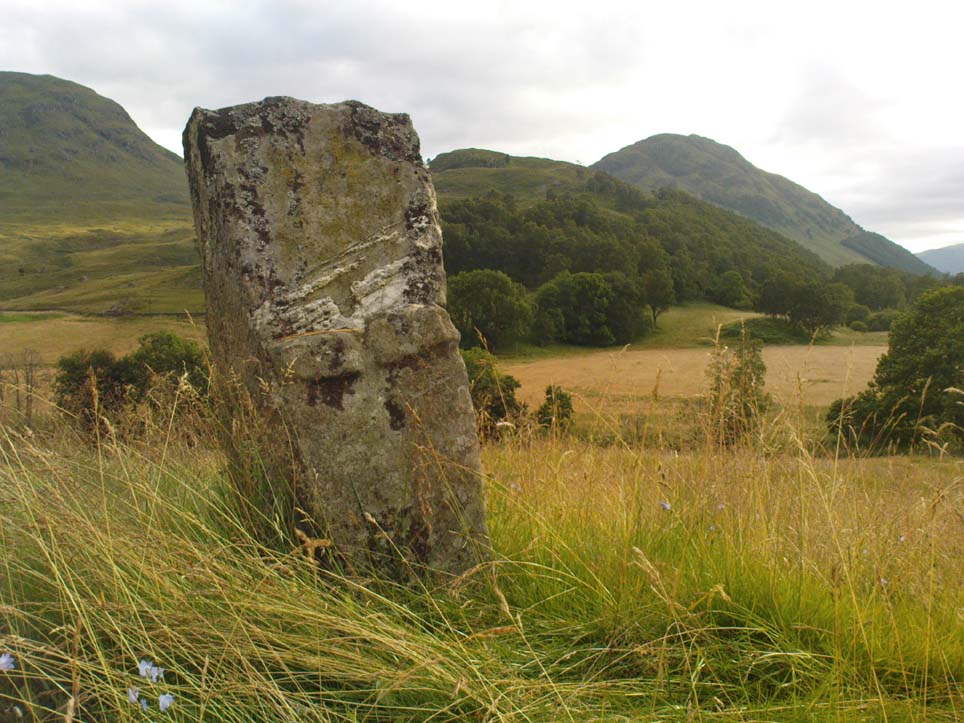
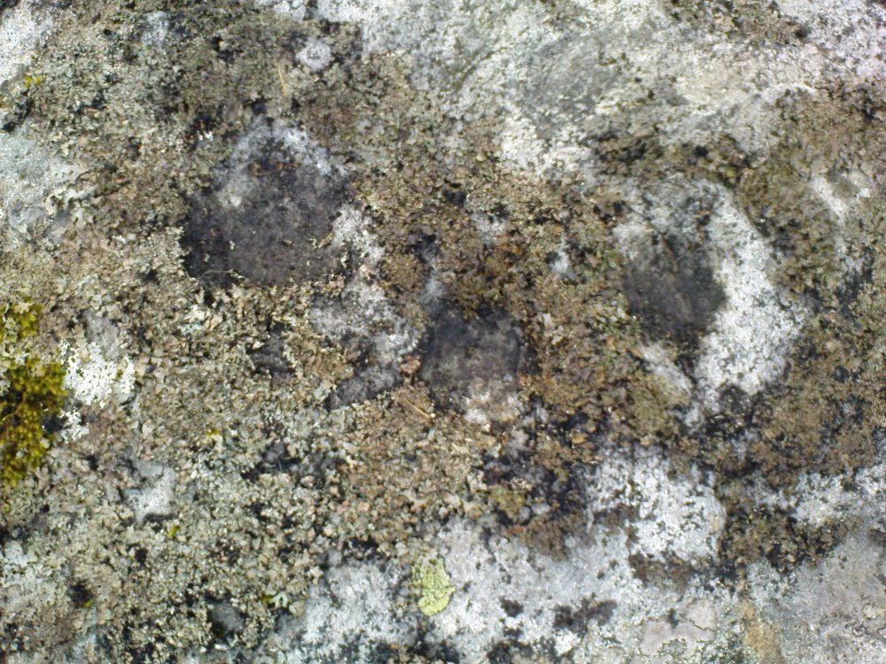
In this magnificent landscape down the longest of Scotland’s glens, standing atop of a knoll known as Tom a’ Mhoid, or “the moot hill” (Watson 1926), is this small standing stone about 4 feet tall which has long been ascribed as an important relic of the early christian period. They may be right – but it could as much be a more archaic monolith, onto which the carved crosses on either side of the stone were later etched, in the light of the myths of St. Adamnan whose name scatters this great glen and after the legend cited below was ascribed to him.

Close-up, showing large cross

The stone ‘cross’ stands atop of what at first sight seems a natural knoll; but all round it we find an excess of man-made remains and walling, all but constituting the hill itself. These are clearly visible on the aerial imagery of GoogleEarth. Antiquarian dogs here would be invaluable to ascertain the correct age and nature of the structures around this ‘cross’.

Faint cross near top of stone

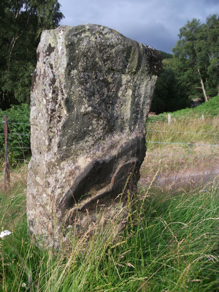
Of the crosses carved onto the stone: the one on the southern face is a small faint one near the top of the upright; whilst the other is much larger and is easily visible, cutting right across the northern face of the monolith.  They are clearly of differing styles and would seem to have been carved by different people, perhaps a few centuries apart.  Curiously—as Marion Woolley pointed out—the smaller, fainter cross is carved above a ridge on the upright stone, mimicking the position of the stone on the knoll in its landscape setting.  Whether this is just a coincidence, or has been done on purpose, we might never know.

In Duncan Fraser’s (1969) excellent local history work, he names the stone here Eonan’s Cross and he too strongly suspects “the stone itself was probably erected at least a thousand years earlier” than the coming of the saint, making this a christianized standing stone – which it certainly looks like.  Mr Fraser said that,

“His cross stone, we can be fairly sure, was a Bronze Age standing stone long before it acquired its unusual cross.”

He may well be right…

Folklore

The mythic history of this cross-marked standing stone was told eloquently in one of Hilary Wheater’s (1981) fine short works. After giving a brief story of the tale of St. Adamnan, she went on to tell:

“A terrible plague swept through Scotland in the seventh century. It reached the Vale of Fortingall and so violent was its ravages that all the inhabitants were wiped out. Slowly the sickness began to infiltrate the Glen and in a panic the people of Glenlyon went to their preacher and beseeched him, “Eonan of the ruddy cheeks, rise and check the plague of thy people. Save us from the death and let it not come upon us east or west.”

“Adamnan rose to the occasion and gathered the people of the Glen to a hillock where he usually preached to them. In a house not forty yards away it is said that a child was already dying of ‘the Death.’

“There on the rock, with the people gathered round him, Adamnan prayed. When he was finished he raised his right arm, exhorted the devil body of the pestilence to come to him and, pointing to a large round rock lying on the ground, ordered the plague to enter it. A large circular hole appeared in the rock as the plague bored into it and Adamnan followed up this apparent miracle by the very sensible act of sending all the healthy people of the Glen up to the shielings until all signs of the pestilence disappeared…

“Thus were the people of the Glen saved from the plague. When they came back from their mountain retreat they erected a stone slab with two crosses on it to commemorate their deliverance. The rock itself they called Craig-diannaidh, the ‘rock of safety’, and the round stone with the hole through which the plague descended into the bowels of the Earth lies to this day at the side of the road near the stone slab.”

Adamnan’s Cross

The rocky slope immediately above the stone, on the other side of the road, was once the home of an old urisk who, sadly, long-since left the area – though his spirit can still be felt there.  Accounts of many other supernatural creatures are found scattering this part of Glen Lyon…

References:

  1. Barnett, T. Ratcliffe, The Road to Rannoch and the Summer Isles, Robert Grant: Edinburgh 1924.
  2. Fraser, Duncan, Highland Perthshire, Standard Press: Montrose 1969.
  3. Watson, W.J., The history of the Celtic Place-Names of Scotland, Edinburgh 1926.
  4. Wheater, Hilary, Aberfeldy to Glenlyon, Appin: Aberfeldy 1981.

ACKNOWLEDGEMENTS: Massive thanks to Marion—”I don’t have a clue where I am!”—Woolley, for getting us here….and for her photo of the faint cross, above.

© Paul Bennett, The Northern Antiquarian

Caisteal Samhraidh, Glen Lochay, Killin, Perthshire

Standing Stone: OS Grid Reference – NN 519 380

Getting Here

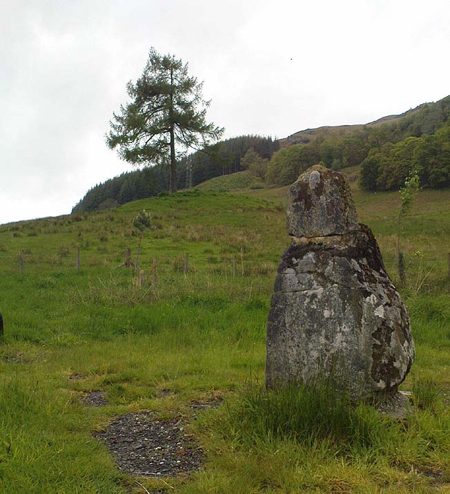
Caisteal Samhraidh stone, looking west down Glen Lochay

Go halfway down Glen Lochay to Dalgirdy house by the cattle-grid, then go up the burn by its side and follow the directions to reach the small standing stone above the shielings of Allt Ghoaordaidh. From here, head east, keeping to roughly the same contour line as you walk along. About half-a-mile on, keep your eyes peeled. If you’re into ambling off-track up mountains, you’ll find it. If you’re not into such things, you could be in trouble!

Archaeology & History

Caisteal Samhraidh stone, looking east to Duncroisk

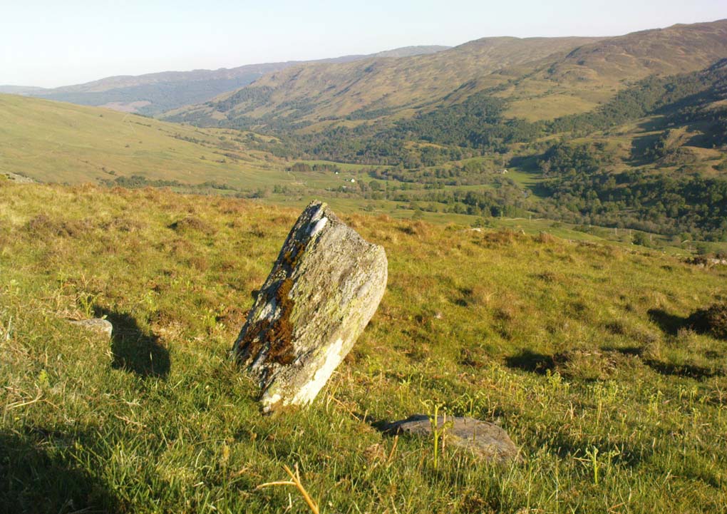
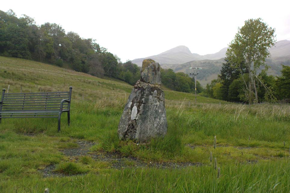
There are no previous literary references to this standing stone, leaning at an angle, halfway up the southern slope of Mheall Ghaordie. Between 3-4 feet tall, the monolith appears to have had packing stones around it, although when I stumbled across it in a lengthy amble a few weeks ago, the daytime temperature was above 100° F and I’d been out all day with no food, so my investigative faculties weren’t at their best! The stone may have been part of some ancient walling along the edge of the mountain, but if so, it wasn’t obvious. A few yards higher up the slope, a very large overgrown heap of rocks seemed evident – but again, I wasn’t sure whether this was artificial or geological. All along this mountain and up the curve of Allt Ghoaordaidh to the west are such immense clusters of ancient rocks and boulders, that the mound behind here just seemed to merge into the background of all the rest.

Looking SE down Glen Lochay

The ruined Iron Age enclosure of Tullich is less than half-a-mile south of here, and the possible prehistoric standing stones of Tirai another half-mile to the east. Prehistoric rock art scatters the glen east of here and masses of ancient walled structures run up and down hidden ridges and slopes. There is in fact scattered an excess of archaeological remains all along the edges of this long valley, indicating considerable human population in bygone centuries (before the Clearances came) reaching way back into prehistoric times. The old people of Glen Lochay would have been able to furnish us with a mass of important historical tales and myth about so many now-forgotten places, before the carnage of the agriculturalists and capitalists destroyed their way of life. This standing stone, no doubt, would have had tales said of it. Today, only the spirits of the glen are able to whisper such insights…

© Paul Bennett, The Northern Antiquarian

Breadalbane

Duncroisk Enclosure, Glen Lochay, Killin, Perthshire

Enclosure:  OS Grid Reference – NN 5325 3607

Getting Here

D. MacInnes’ ground plan

Take the single-track Glen Lochay road down past the Bridge of Lochay hotel at the edge of Killin, as if you’re gonna visit the superb cup-and-ring carvings opposite Stag Cottage (or Duncroisk 1).  Immediately past the garden of Stag Cottage is a small copse of trees and a couple of old wartime-looking buildings in the field above the roadside.  Go up past these buildings and onto the rise at the back.  You’re here.

Archaeology & History

This is a fascinating site of multi-period historical usage, which Dugald MacInnes (2001) thinks may have its origins in the early Bronze Age or neolithic; but which I reckon was probably first used in the Iron Age.  Either way, we have here a large interesting well-preserved prehistoric stone enclosure, that has yet to be excavated.  I first came across it whilst gathering firewood from the adjacent copse and was quite puzzled by what seemed to be an extensive curved line of ancient walling running from its east to northeastern section, typical of prehistoric Iron Age walled structures common in northern England and beyond.  I must have paced back and forth along a 75 yard length of this section of walling a half-dozen times, wondering what the hell this place was.  And the more I looked at this section of the enclosure, the greater my conviction grew that this was constructed in prehistoric times.  And thereafter came the puzzle.

Looking down at the walled enclosure
NW section of walling

For along the southern walled section were a number of much more modern medieval and much later walled sections, including the remains of buildings that looked barely Victorian in age and nature.  The site was obviously being used presently by the local farmer for his cattle.  And so it became obvious that here was a large oval-shaped stone-walled enclosure or settlement that had been used over and over again through many centuries, with its origins seeming to be Iron Age in nature. Measuring approximately 195 yards (178m) in circumference, the structure has a maximum E-W diameter of 78 yards (71m) and N-S measurement of 44 yards (40m).

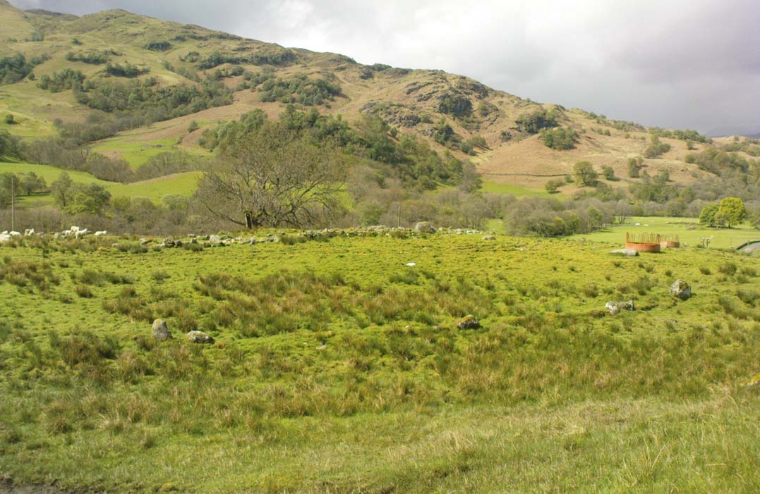
The mass of evidence for prehistoric activity is all round this hidden enclosure, with the fascinating clusters of cup-and-ring stones of Duncroisk and Corrycharmaig close by.  The small standing stones of Tirai 600 yards NW, and a similar prehistoric enclosure at Tullich ¾-mile NW show ample evidence of prehistoric man in this part of Glen Lochay.

Despite the size of the place, no literary reference of it occurs before MacInnes and his team came here.  His description is as follows:

“An oval enclosure, its boundaries formed principally from large water-worn boulders interspersed with drystone walling and in part by an earthen bank in the easternmost section, sits atop of a natural terrace about 155m OD.  The terrace slopes steeply to the west and south and cut into the western slope is a track, the course of which cannot be determined beyond the extent of the slope.  This track displays revetment in the form of stone coursing.

“The SW corner of the enclosure is angular rather than the rounded character of the other sections.  The W and SW sections are composed of coarsely constructed stonework in which large, 1m wide, often 1m high, water-worn boulders at two to three metre intervals, are interspersed with smaller boulders which form crude drystone coursing.

“The NE section is formed largely of large boulders, one of which is 1.5m in width and 1.2m high by 0.8m wide.  Sections of the northern part would appear to be robbed out, perhaps to construct the modern wall which lies about 25m to the north.  There are no remaining large boulders there, however, which could indicate their absence in the original construction of the enclosure.  The central section of the northern perimeter may be constructed of two outer skins of boulders, forming a wall about 0.9m wide, 0.4m high on its exterior, but reducing to 0.3m on its interior side.  Two sections could possibly be filled with a rubble core.

“The E section is formed by a low 0.3m high earthen grass-covered bank with occasional boulders.  This bank is about 0.2m high relative to the interior, but is about 0.5m to.0.8m high on its exterior side.  The NW side shows on the western side more evidence of double skin, rubble construction.  Close inspection of the stonework around the perimeter of the enclosure has revealed no evidence of shot-holes.  However a monolith situated in the NE has been split, but this would appear to be natural.  The interior of the enclosure is more or less level and grass-covered.  There is however, a slight drop in level in the western third of the interior.  This is defined by a linear slope which may be a lynchet.”

Northern section of enclosure
Upright stone in eastern wall

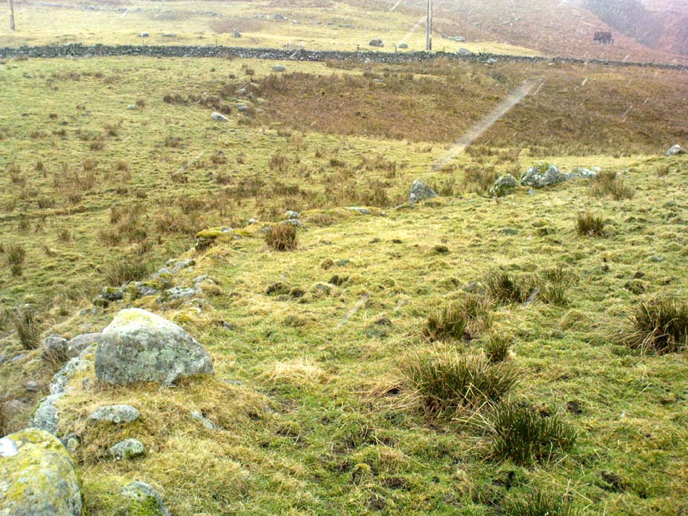
Northeast of the enclosure about 40 yards away is the normal drystone walling running along the sloping hillside.  But more intriguingly to archaeologists is the second line of much more ancient walling 76 yards (70m) further up the grassy slope, running at an angle across and uphill in a northwesterly direction.  This line of walling has a distinctly Iron Age flavour to it and is composed of some very large upright monoliths, almost Bronze Age in nature!  It continues into the next field for some 400 yards and onto Duncroisk Burn — the other side of which we find another line of ancient walling with an impressive cup-and-ring stone incorporated.

There’s tons more to be said of this region…

…to be continued…

References:

  1. MacInnes, Dugald, An Archaeological Field Survey of a Deserted Settlement at Duncroisk Farm, Glen Lochay, Association of Certified Field Archaeologists: Glasgow 2001.

© Paul Bennett, The Northern Antiquarian