Cup-and-Ring Stone: OS Grid Reference – NC 56988 52656
Getting Here
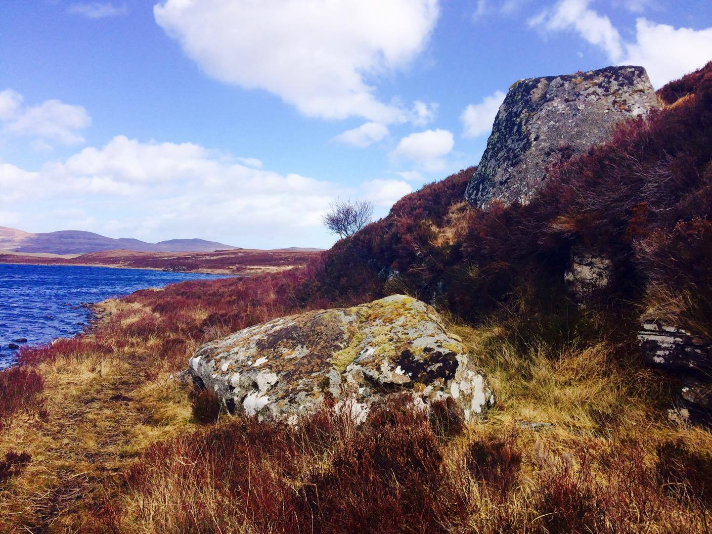
Whether you take the A836 or A838 into Tongue (through truly beautiful wilderness), make sure you go into the village itself—and then keep going, south, along the tiny country road. Nearly 2½ miles along, note the small loch of Lochan na Cuilce on your right. A few hundred yards past this, on the other side of the road (barely visible at first) is Lochan Hakel. Walk around to the south-side of the loch and, across from where the small island of Grianan lives, you’ll see this large rounded boulder by the loch-side.
Archaeology & History
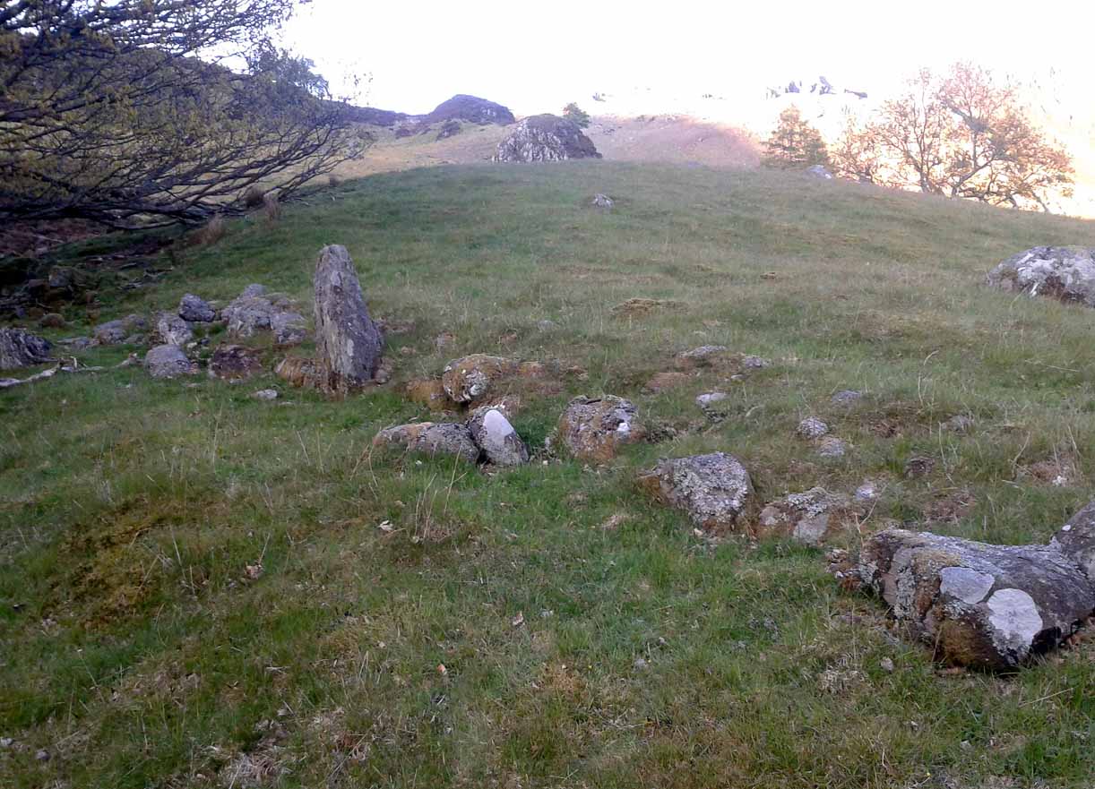
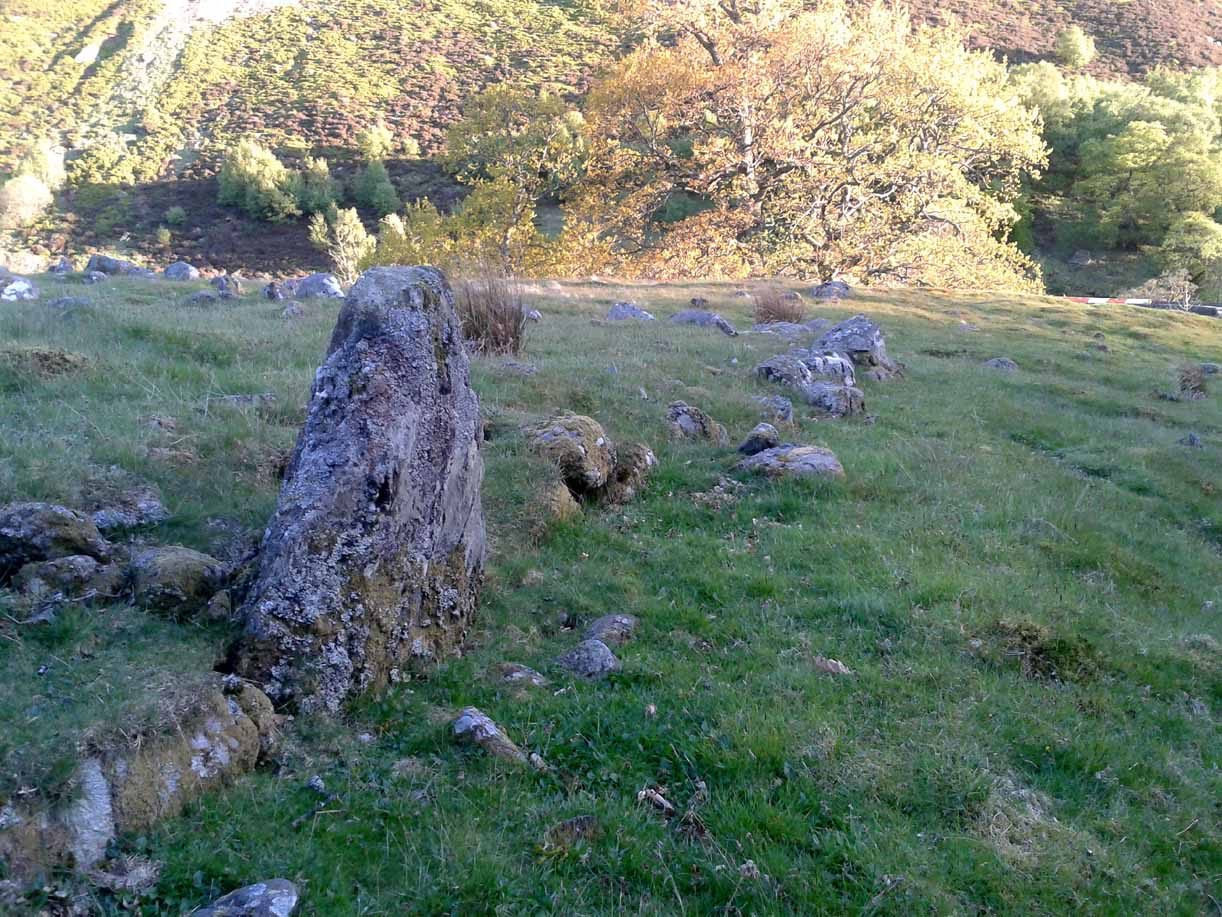
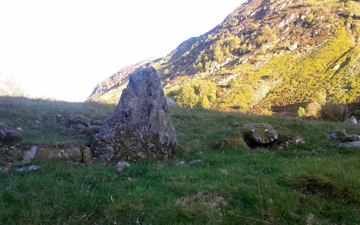
Stuck in a veritably stunning middle-o’-nowhere landscape below the outstretched northern moors beneath Ben Loyal & co, there is no previous literary account of this faded petroglyph, rediscovered in early April 2017 when Sarah MacLean took us on a visit to the more renowned multiple cup-and-ringer of Lochan Hakel 2, just yards away above the moorland rise (which is unmissable from here). It’s not too special in comparison with its neighbour and many others—but try telling Sarah that!
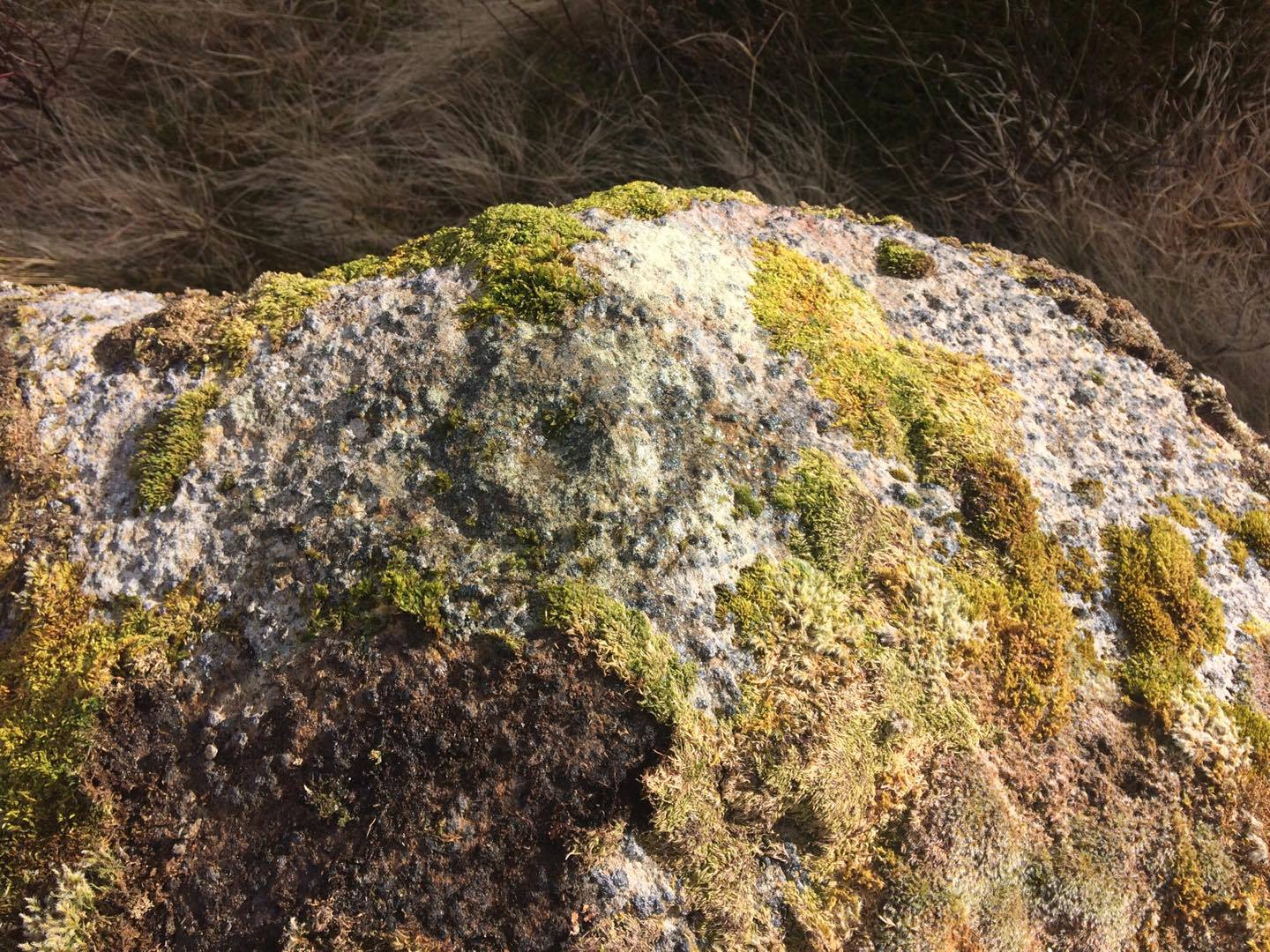
This large rounded lichen-covered boulder has, at its height, a carved ring around a natural rise—known as a ‘boss’—at the very top of the rock. On its southern side, Sarah found a single cup-mark, along with a couple of others on the more northeasterly sloping face. At the bottom of this face is another seemingly isolated small cup-marking. There may well be other carved elements beneath the mass of ancient lichens, but we thought it best to leave them for the time being. It’s also quite likely that other unrecorded carvings exist in the area.

Acknowledgments: Huge thanks to Sarah MacLean, not only for helping to locate this carving, but for use of her photos in this site profile. Cheers Sarah! And to Donna Murray, for putting up with me whilst in the area! …Now, let’s find some more of them!
© Paul Bennett, The Northern Antiquarian