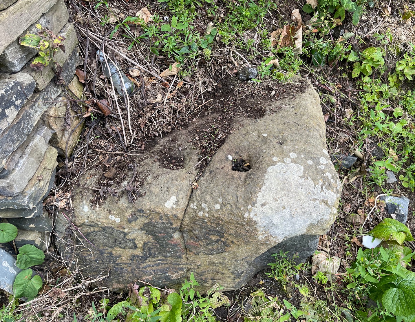
Cup-Marked Stone (destroyed): OS Grid Reference – SE 152 393
Also Known as:
Carving no.195
Archaeology & History
A basic cup-marked stone could once be seen up near the top of the slope behind the Bay Horse pub as you’re heading up to Baildon village. The site would seem to have been destroyed following the demolition of buildings thereby. A photograph of the carving was taken and it was described, albeit briefly, by Sidney Jackson (1961), who told:
“A small boulder with two cups in it was found at the junction of a narrow bye road leading to 30 Lane Ends, Baildon, with the road which runs behind the Bay Horse Inn, on 12 April (1961), by Mr Alan E. Rowe, 10 Beaufort Grove, Bolton, Bradford and a photograph of it was taken for the Museum Reference Collection.”
Years back I contacted the Bradford Museum about this photo and they were about as helpful as a zionist in Palestine! – i.e., I never got to see it. It would be good if someone could locate the image.
References:
Boughey, Keith & Vickerman, E.A., Prehistoric Rock Art of the West Riding, WYAS: Wakefield 2003.
Jackson, Sidney, “Cup-marked Boulders, Baildon Finds,” in Cartwright Hall Archaeology Group Bulletin, volume 6, no. 6, 1961.
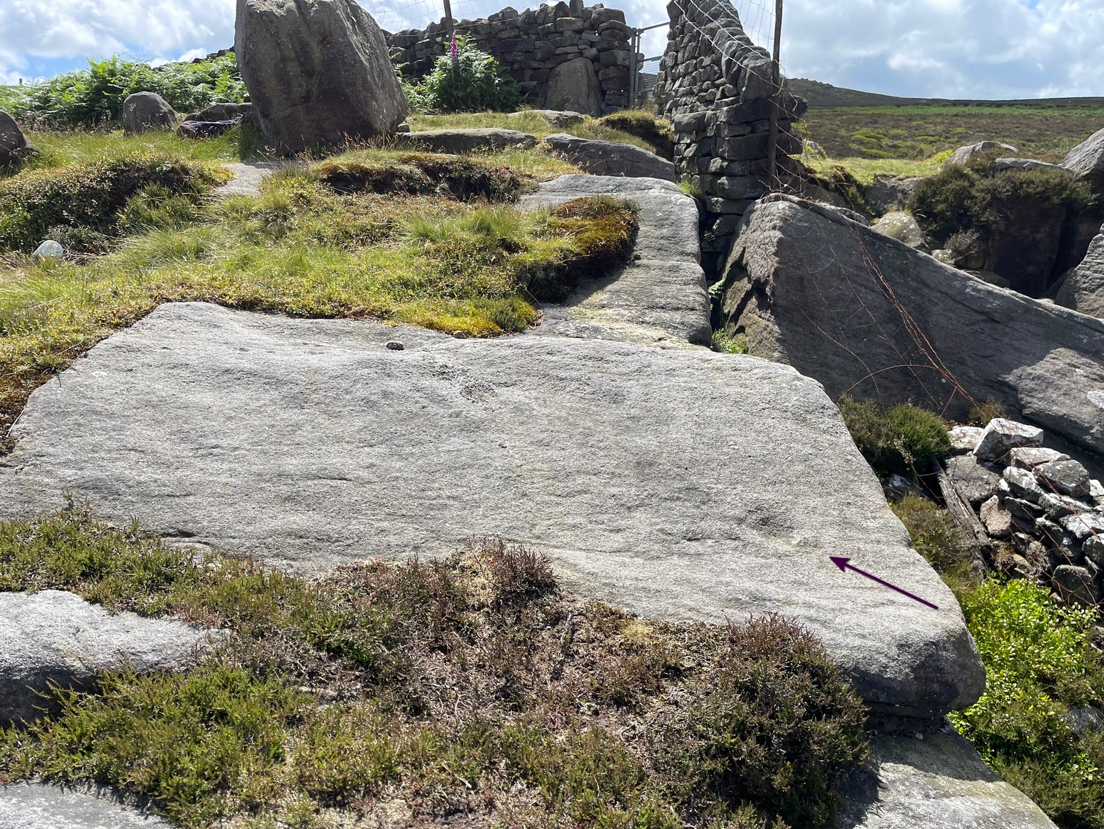
From the Askwith Moor car-park (SE 1757 5067), walk along the road north for a few hundred yards until you reach the gate on your right and head through the heather to the Death’s Head carving. From here walk in a northwesterly direction up the gentle slope for 50-60 yards and, before reaching its crown, keep your eyes peeled for a low flat stone with a curvaceous crack running roughly halfway across it. If the heather’s deep, you might not have a cat in hell’s chance of finding it!
Archaeology & History
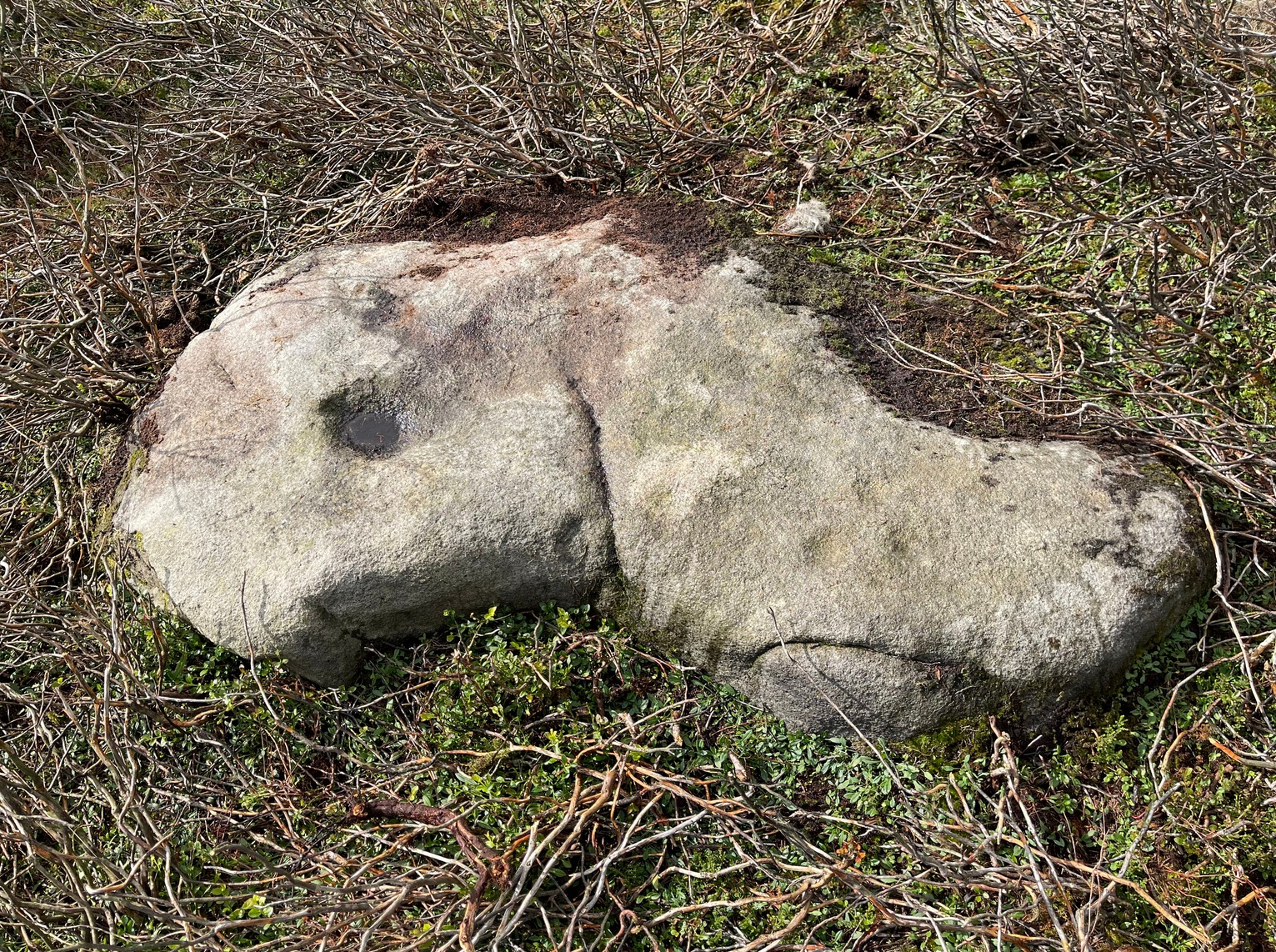
This carving isn’t much to look at on two levels: i) it’s a pretty simplistic design with no rings, and (ii) it’s very faint and almost impossible to see until the light is just right—except for one of the cups, which itself might be natural (there are a few like that amidst the Askwith complex). It’s very much a carving for the purists among you, as I always say. Nonetheless, for the record:
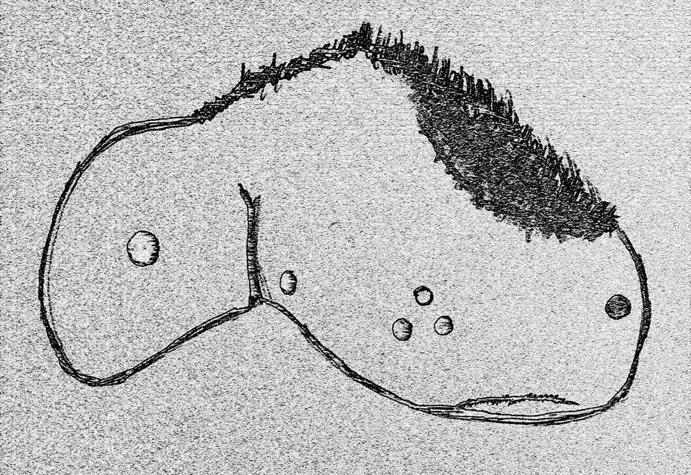
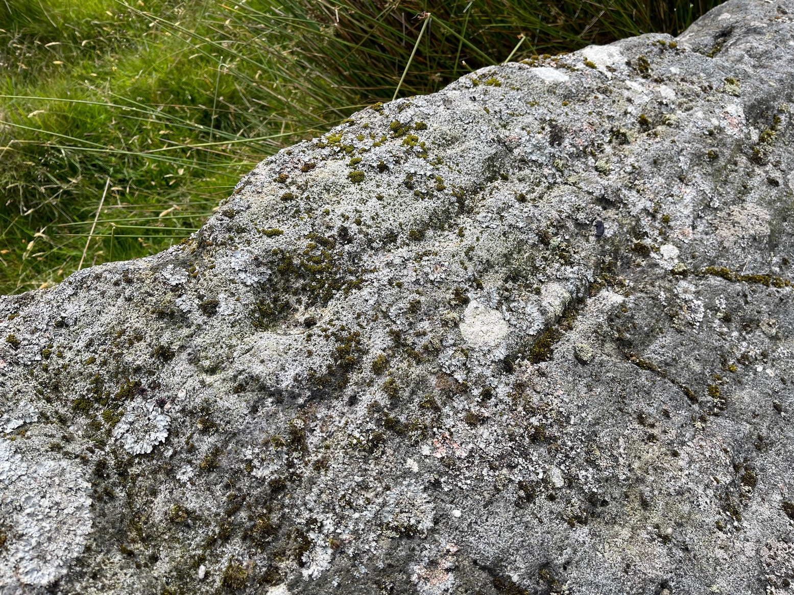
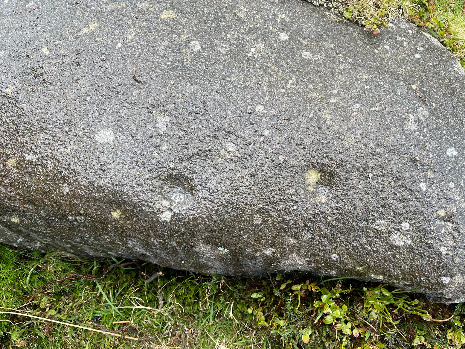
Crap sketch of designFaint cups visible
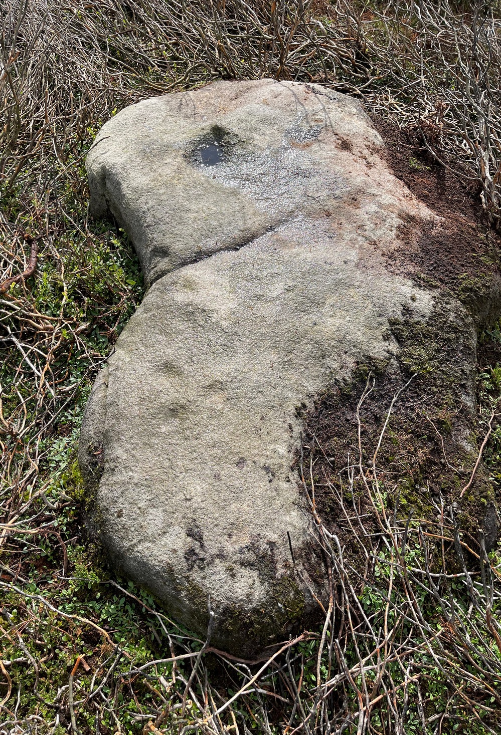
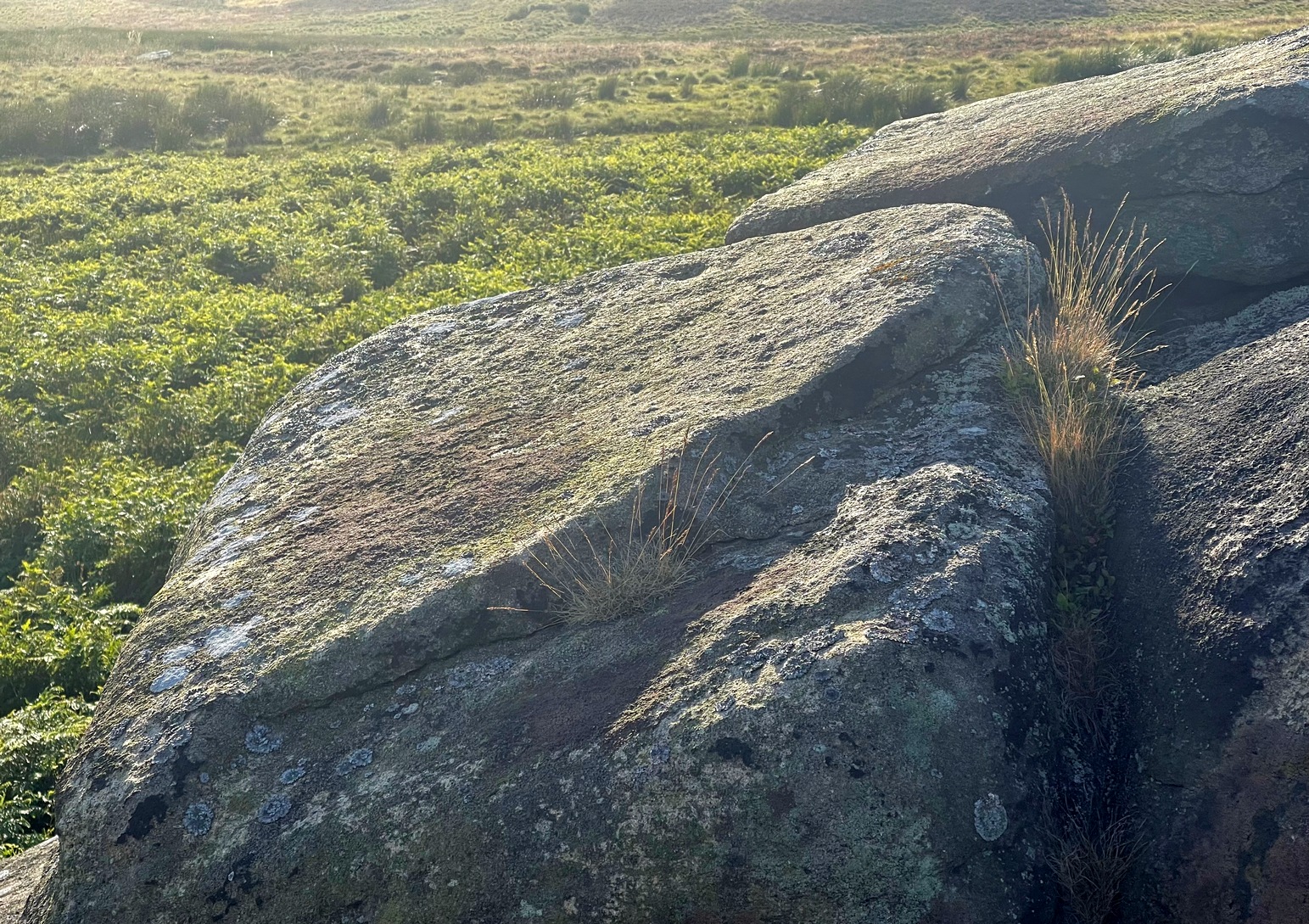
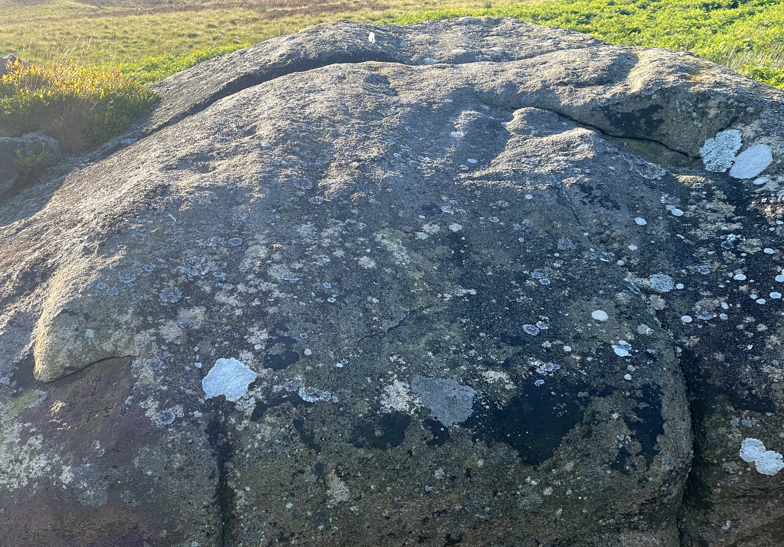
The most notable element is the single “cup mark” on the more easterly section of the stone, on one side of the natural crack. It catches your eye and is what makes you give the stone a little more attention, although I couldn’t make up my mind whether this was Nature’s handiwork or humans. It may be a bit of both. On the other side the crack we can see a small group of very faint eroded cup-marks — just! What seems to be three of them cluster in a small triangle formation, but one of these may be natural (tis hard to say for sure), with another isolated cup closer to the crack, and a final one further to the outer edge of the stone. All are very faint but stood out when the sun was low on our recent visit here. Give it your attention when you’re next having a look at the settlement and cairnfield close by.
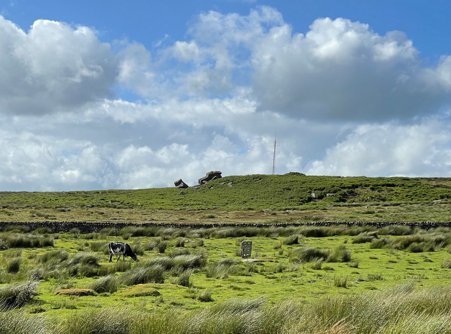
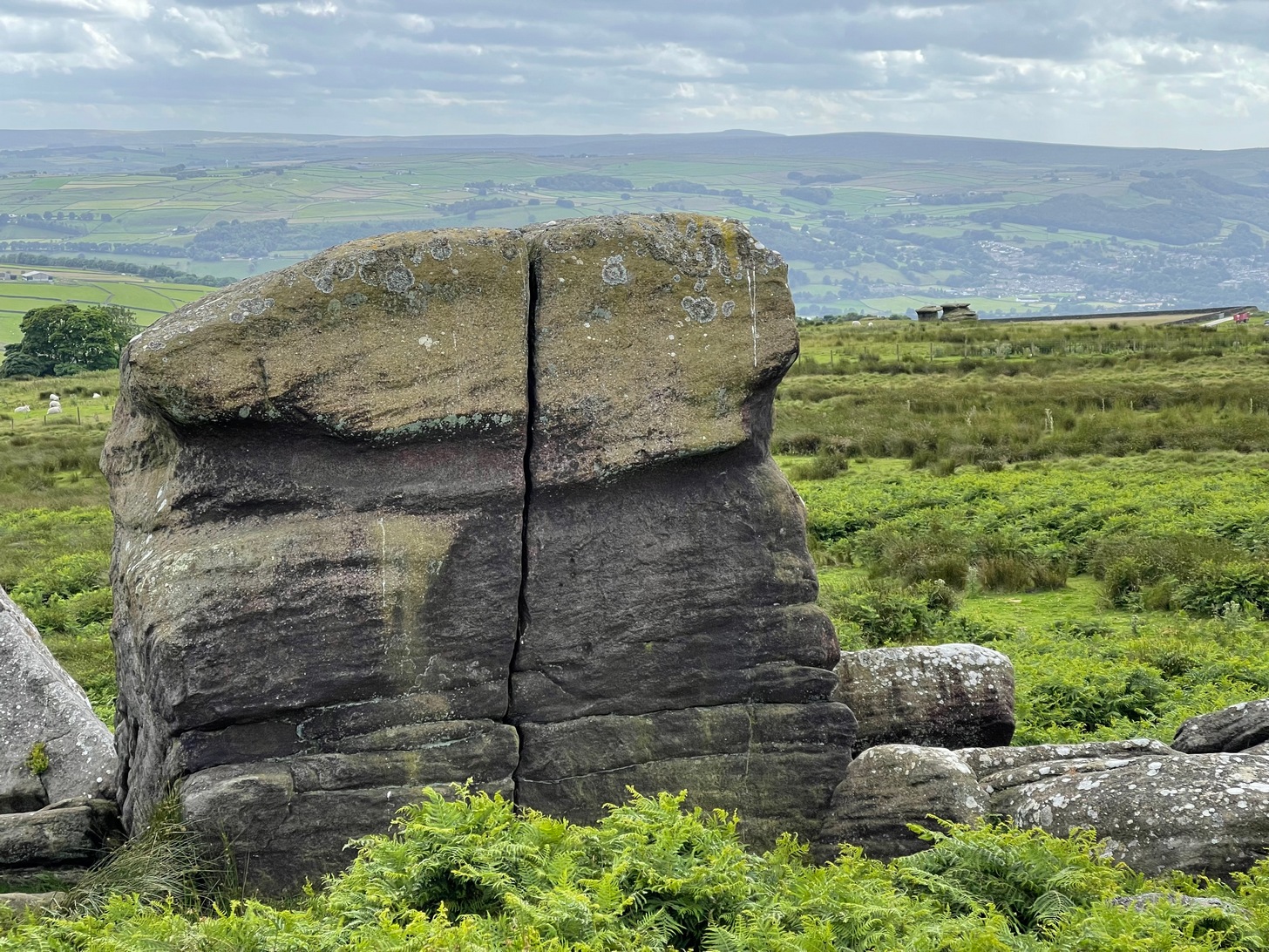
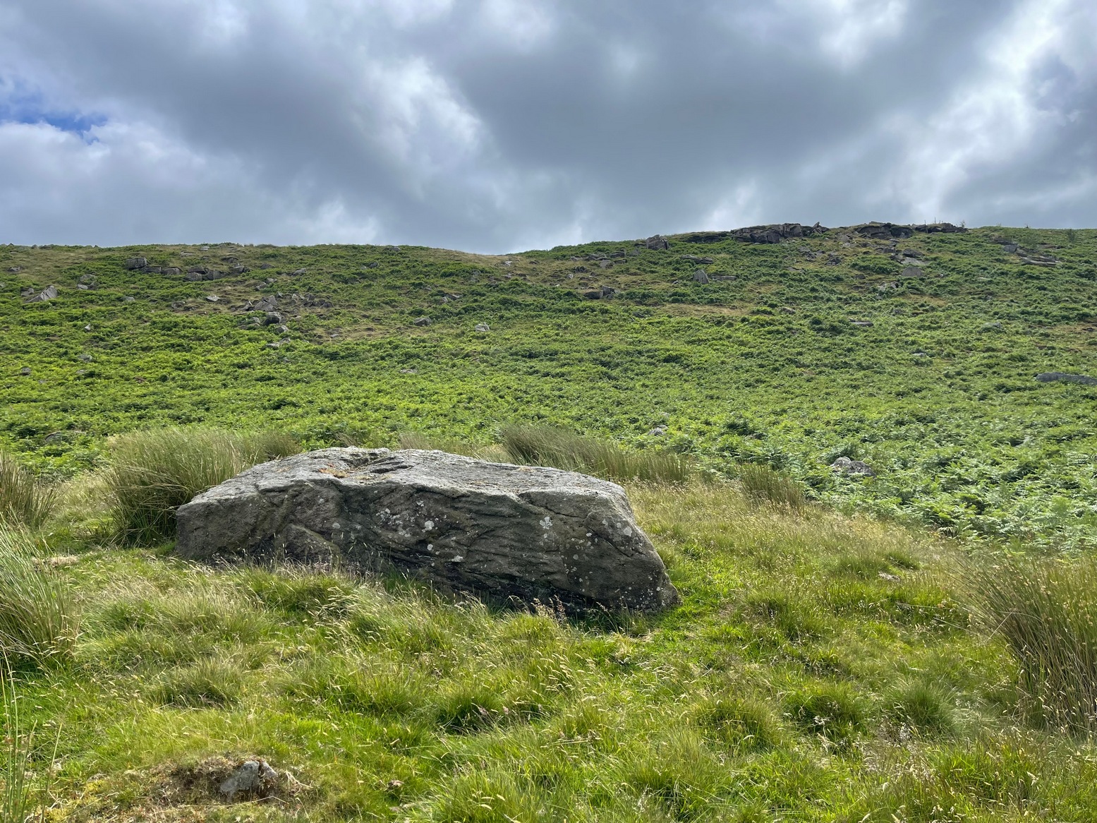
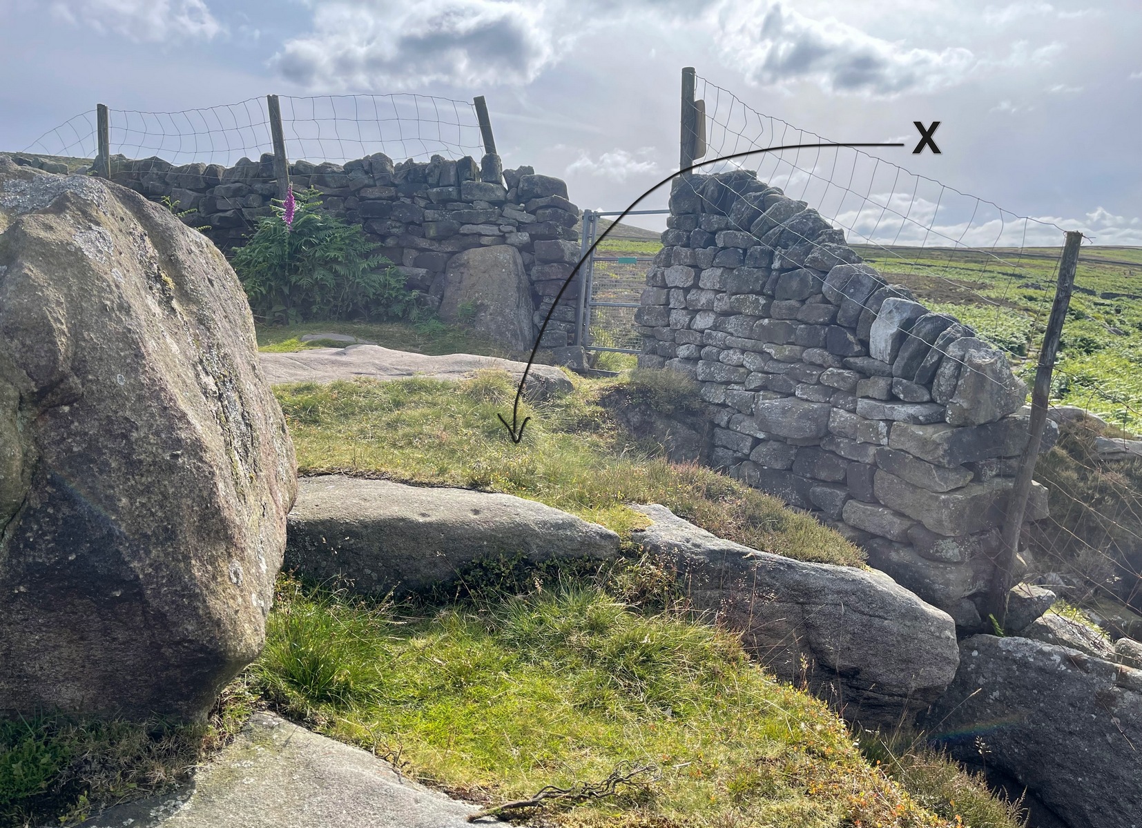
The easiest way to get reach here is via the Doubler Stones, which is usually approached either from the long and winding country lanes Silsden-side (you can’t drive all the way and there are hardly any parking spots en route), or from a long walk over the moors. Taking the latter route, probably the easiest is by starting at Whetstone Gate right on the moortop, on the Ilkley-Keighley road. From here, walk west along the footpath by the wallside for more than ½-mile until you reach the West Buckstones. From here, take the footpath NW (not SW) alongside the walling for literally one mile, where a notable angular skewing of three walls appears: keep to the left and walk alongside that wall for another ⅓-mile (0.5km) then climb over the wall and head straight for the small TV mast. The Giant’s Chair’s just below it.
Some time in the mid- to late-1970s, on one of our early ventures to see the legendary Doubler Stones, this great rock outcrop of the Giant’s Chair also, understandably, drew our attention. And, as young fertile teenage lads, we all but flew up onto the top of this great rocky rise with relative ease. Now, nearly fifty years later, I’m unable to climb onto its top without ropes. (sigh….) It’s not easy. Anyhow, when we were on top of this rock as kids, a number of notable cup-markings stood out to us—in no distinct order, as I recall. But on the day of our clambering visit, She was grey and overcast; as She was on the two or three other visits we made to the stone, sitting on its top, fondling the cup-marks and eating our sarnies. All that I ever noticed were the cup-markings.
A few years after my early visits here, John Hedges (1986) wrote about this “very large high rock.” He mentioneed the cup-markings, obviously, but he also mentioned some things that we’d missed, saying that here are,
“Six large shallow worn cups, one with (a) partial ring and another with possible ring. One cup on SW end.”
Single cup-mark (?)One of the cup-and-rings (?), top-left
Sadly, I’ve never seen these rings and, these days, my ageing bones might not allow me back onto its surface to see them. (the expression, “sad bastard” comes to mind!) On a recent visit here with Sarah Walker of Silsden, neither of us could get our useless arses on top! (the photos taken here were done with me stood on top of an adjacent rock, hands held high, trying to get at least some elements of the carving—with a minor bit of success, I think) I take comfort in the fact that when Boughey & Vickerman (2003) subsequently added this carving in their enlarged inventory, that they never got to see them either, as they gave it the completely wrong grid-reference! And so, due to the ineptitude of us old folk, I await some younger and more competent explorers who can climb up on top and send us some good photos of the design, when weather and lighting conditions allow for good imagery. Are there any takers…?
References:
Boughey, Keith & Vickerman, E.A., Prehistoric Rock Art of the West Riding, WYAS: Wakefield 2003.
Deacon, Vivien, The Rock Art Landscapes of Rombalds Moor, West Yorkshire, ArchaeoPress: Oxford 2020.
Hedges, John (ed.), The Carved Rocks on Rombalds Moor, WYMCC: Wakefield 1986.
Acknowledgements: Big thanks to Sarah Walker for helping, albeit unsuccessfully, to scale this old rock to see the cup-and-rings on my last visit here. At least we tried…
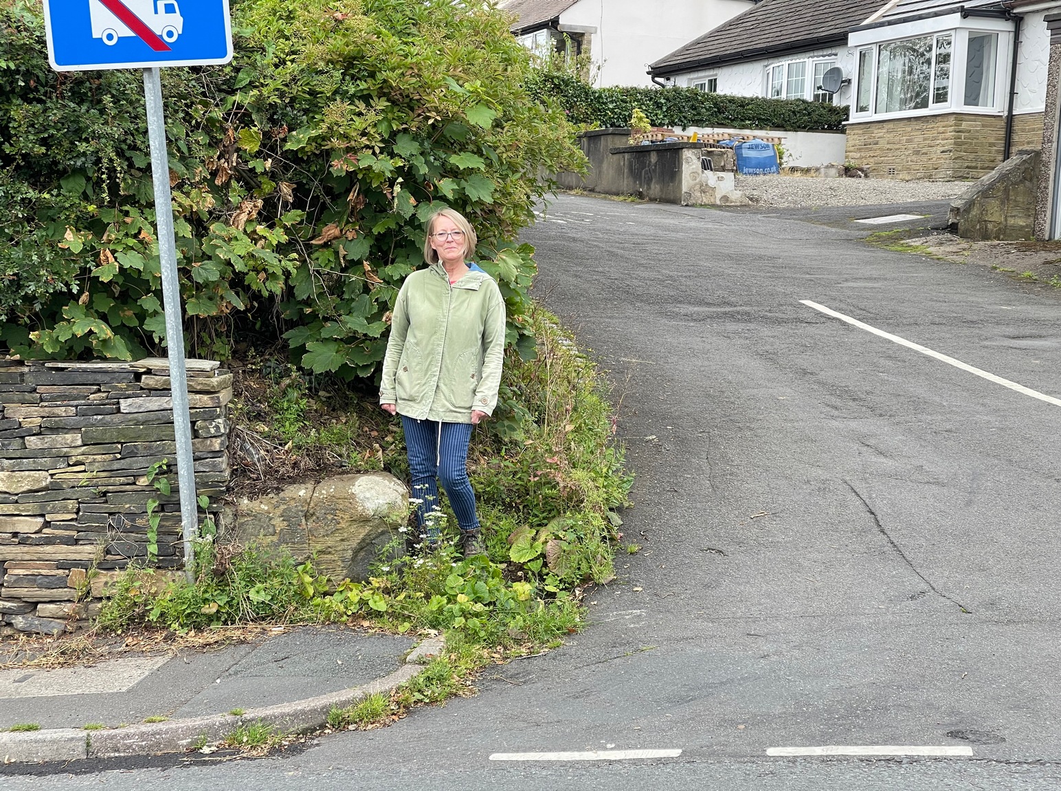
Nice ‘n easy: from Huddersfield central, take the A641 road north to Brighouse, but barely a half-mile out of town turn left up the Halifax Old Road. Go on here for nearly a mile, then keep your eyes peeled for the aptly-named South Cross Road on your right. Go up here all the way to the end where it meets with Cowcliffe Hill Road. Here, at the junction, right by the roadside at the edge of the wall, is the remains of the old cross-base, all but covered in vegetation. You’ll see it.
Archaeology & History
The little-known remains of a post-medieval cross base can still be seen, albeit very overgrown, right by the roadside. The upstanding stone cross that once stood upon it has long since gone (perhaps broken up and built into the wall). It may have been one of two such crosses relatively close to each other: as this one is found at South Cross Road, there may have been another one at the nearby North Cross Road, but history seems to be silent on the matter.
Top of the cross-base
The cross-base itself has several holes cut into it where the standing stone cross was fixed upright. Very little seems to be known about this monument. George Redmonds (2008) told simply that, “the base of a cross survives on Cowcliffe Hill Road, no doubt marking the ancient crossroads. It explains the names North and South Cross Roads.” He added that, “The base of the cross survives, partly hidden in the undergrowth, and it is the only visible evidence we have of several similar crosses in the township.”
References:
Redmonds, George, Place-Names of Huddersfield, GR Books: Huddersfield 2008.
Acknowledgements: Huge thanks to Liz Sykes for helping out big-time to uncover the base from beneath the mass of herbage.
Take the Wells Road from Ilkley centre up towards White Wells, bending to the right as you hit the edge of the moor. Keep along the road, past the old college building with its lake and turn right up Westwood Drive. Keep going all the way up (it becomes Panorama Drive) till you hit the small woodland on your right. Where the woodland ends – stop! Walk into the trees about 10-15 yards and you’ll see the large rocks ahead of you. Brush back the vegetation and you’ll find it.
Archaeology & History
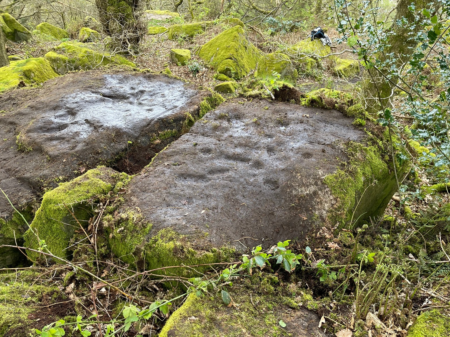
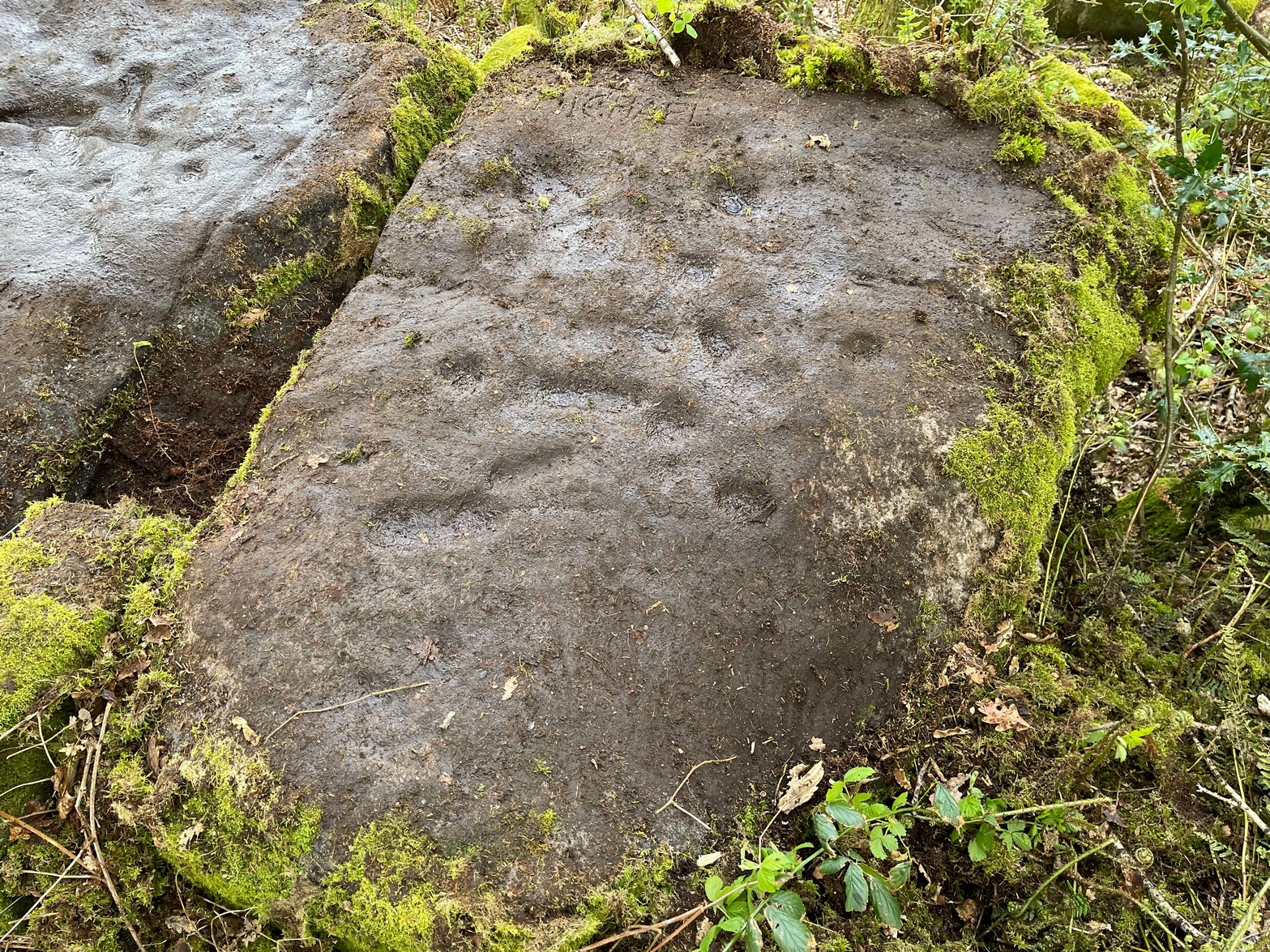
This large flat rock surface has a scattering of archetypal deep cup-markings, with other fainter marks scattered over most of its surface. It sits right next to carving no.232, with its own equally large, naturally worn basins.
Faint cup&ring just visible
It was visited in the 1870s (along with the other Panorama Stones) and subsequently illustrated in the personal sketch-pad of Mr Thorton Dale (we’re hoping to have them scanned in due course for open Creative Commons use) who showed the basic cup-marks and shaped “lines” or footsteps that give this petroglyph its name. Little more was said of it until Hedges (1986) described it in his survey, whose notes were subsequently repeated in Boughey & Vickerman’s (2003) work as being a “medium-sized flat-topped, upstanding rectangular rock. Eight cups, six deep ovals, faint circles and lines on SW end.” One of the most notable cup-and-rings can just be made out near the middle of the stone, on the left-side of one the footprints.
The depth of these incisions in this design strongly suggests that the carving was worked and reworked over many centuries, suggesting utilitarian usage of some kind, be it ceremonial or otherwise. It’s also very unusual inasmuch as elongated footstep-like cuttings are scarcities, not just in Yorkshire petroglyphs, but in prehistoric carvings across Britain. Check it out when you’re next walking up to the Swastika Stone.
References:
Bennett, Paul, The Panorama Stones, Ilkley, TNA: Yorkshire 2012.
Boughey, Keith & Vickerman, E.A., Prehistoric Rock Art of the West Riding, WYAS: Wakefield 2003.
Hedges, John (ed.), The Carved Rocks on Rombalds Moor, WYMCC: Wakefield 1986.
For those who like a walk: take the route to reach the Swastika Stone and keep walking west along the Millenium Way footpath, past the Piper’s Stone carving and over the next two walls. Then, stagger down the steep hill and head for the large upright near-cuboid block of stone and, once here, walk 30 yards to your east! Alternatively, from the Silsden-side, go along Brown Bank Lane up and past Brown Bank caravan park, and at the second crossroads turn right and travel for exactly 1¼ miles (2km) along Straight Lane (from hereon there’s nowhere to park!) which runs naturally into Moorside Lane, and notice the raised gate entrance into the field on your right. Walk to the top of this field, go through the next gate and, less than 100 yards uphill (south) you’ll find the stone in question.
Archaeology & History
Cup, incomplete ring & line
Rediscovered by Paul Bowers in 2011, this is another one of those petroglyphs that’s difficult to make out unless the light is falling just right across the surface of the stone. Two distinct cup-marks can be seen near the more southern-edge of the stone, one of which has a near-complete, albeit unfinished ring around it, and from this a seemingly carved line runs roughly parallel with the edge of the stone, down towards another equally distinct cup close to the southwestern edge of the rock. Most of the stone is nicely covered in a decent lichen cover, so the design’s a bit difficult to see when the light’s not right. But, if you’ve made it this far, the petroglyph 30 yards to the west will make up for any disappointment you may have!
References:
Boughey, Keith & Vickerman, E.A., Prehistoric Rock Art of the West Riding Supplement, 2018.
Get up to the Swastika Stone, then head west along the footpath towards the Piper Stone. Shortly before there, you’ll see the small cup-marked Piper’s Crag (3) carving, just by the walling. From this carving, just step a few yards down the slope and on the smooth sloping rock face is this faded carving. You’ll see it.
Archaeology & History
A larger than normal single cup-mark near the bottom slope of this rock has an incomplete ring around its east and southern edges, possibly with another broken element of it on its northern edge. It’s difficult to work out whether or not this is one of Nature’s curious markings and so needs looking at in different lights to work it out, one way or the other. It’s included in Boughey & Vickerman’s (2018) updated rock art survey, but there are a number quite natural cup-marks in that tome, so we need to exercise a little bit of caution here. However, it does seem to have a greater degree of authenticity than some of the other dubious single cup-marked stones in their book. Check it out on your way to the Piper’s Stone.
References:
Boughey, Keith & Vickerman, E.A., Prehistoric Rock Art of the West Riding Supplement, 2018.
Heading up from Ilkley, follow the directions to reach the Swastika Stone, then keep walking (west) along the footpath to the small clump of trees, and keep walking past them too and keep going along the same path as if you’re heading toward the Piper’s Stone. About 200 yards before reaching it, just where the gate and boundary stone is in the old walling, there’s a small line of crags to the right of your feet and there, at the edge of the path, is the stone in question. You’ll see it (unless it’s a cloudy gray day, in which case you might struggle).
Archaeology & History
The two cup-marks
This is one of a number of cup-marked stones that you’ll find scattering this part of the moor, almost all of which are Nature’s handiwork (a few of these natural carvings have somehow found their way into Keith Boughey’s [2018] updated West Riding rock art book). I’m not 110% certain that this doesn’t have Nature’s name on it either, but it’s got a greater degree of probability to it than some of the others. It’s a simple little thing, as y’ can see, consisting of just the two cup-marks, smaller than usual, living next to each other. If it’s the real deal, we can surmise that it may have been carved by a young person back-in-the-days. In the walling just above this stone you can see the medieval boundary stone, which might—just might—have a prehistoric pedigree to it….
References:
Boughey, Keith & Vickerman, E.A., Prehistoric Rock Art of the West Riding Supplement, 2018.
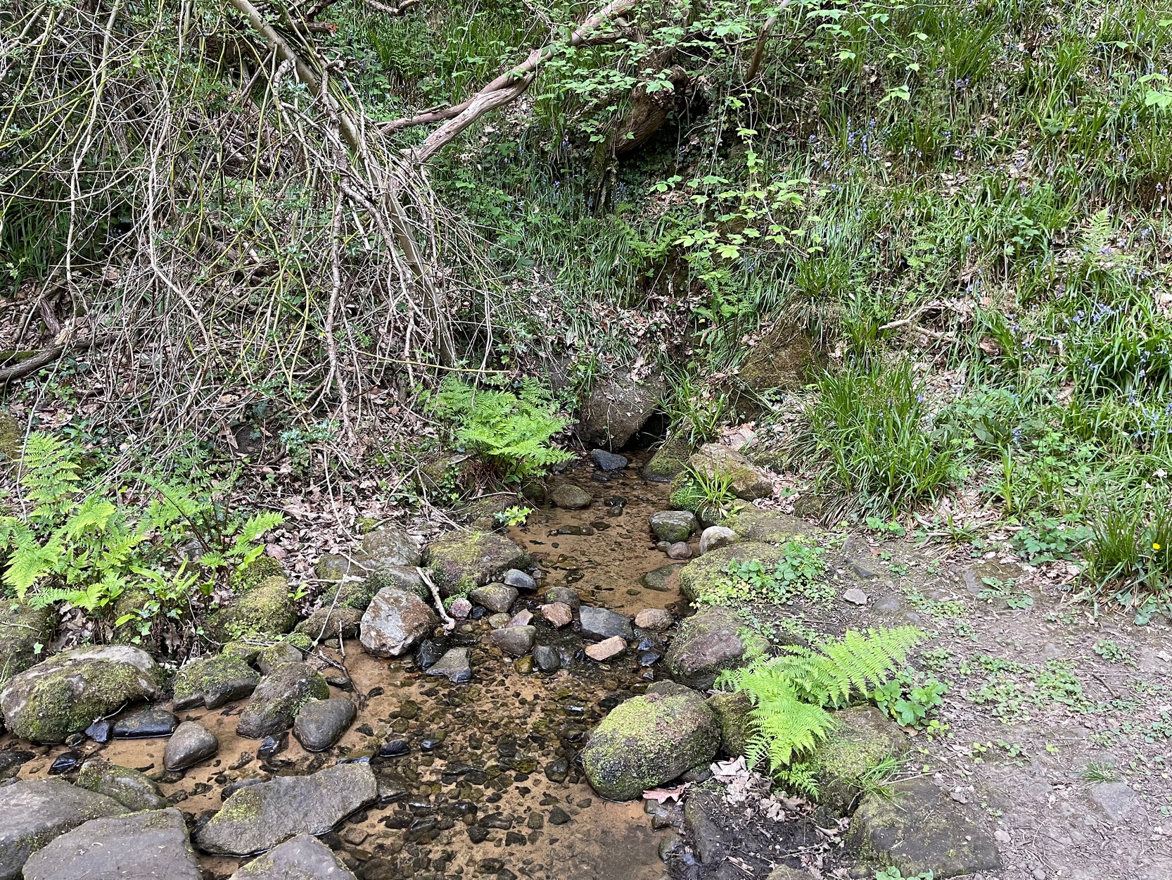
My walk up to this place took me off the main A6038 Hollins Hill road, across from the petrol station and up the scruffy disused road to the hamlet of Tong Park, bending round the houses to the right when they appear. Keep along this old track, then veer right, down the slope and along the footpath and into the trees under the railway arches, keeping on until you reach the lake on your left. At the end of the lake, cross the bridge and follow the footpath as it bends to the left and into the trees. You’ll go over a stile and then about 50 yards along, the stream that crosses the path emerges from a crack in the rocks on your right. You’re here!
Archaeology & History
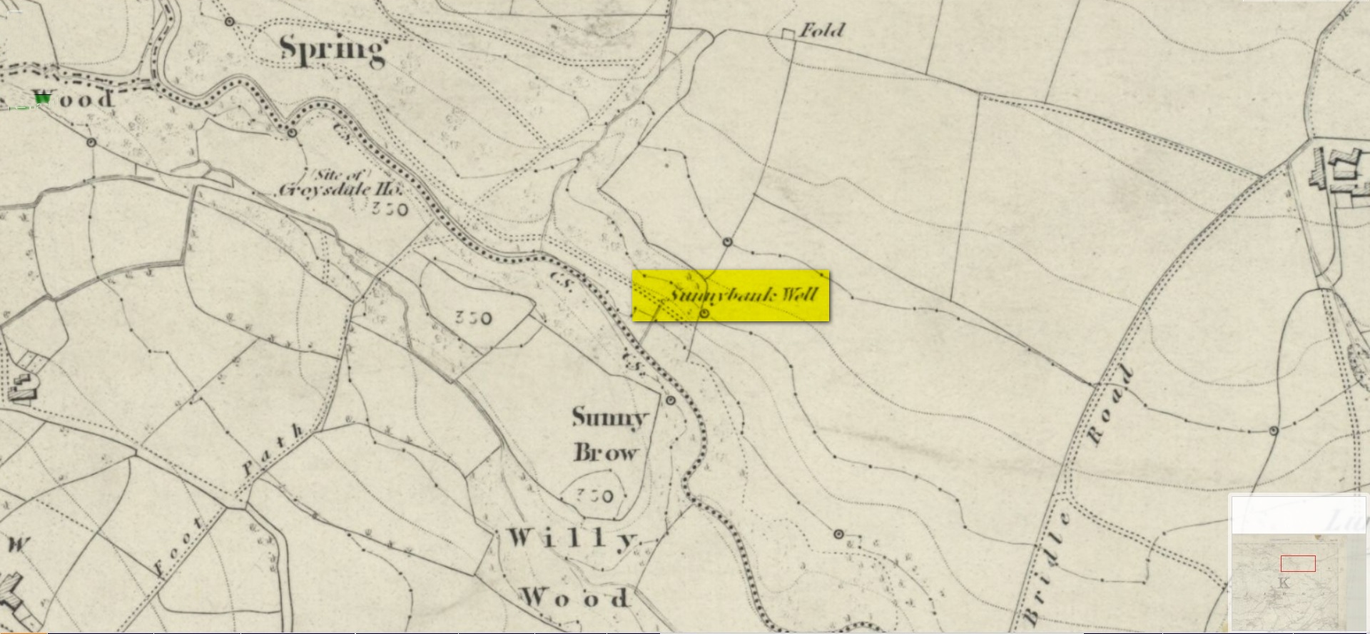
Site shown on 1852 map
All history and tradition of this site seems long gone. It was shown on the 1852 Ordnance Survey map of the region and doubtless receives its name from the location, as the spring of water emerges from beneath the sloping embankment which is a bit of a sun-trap in Spring and Summer. It makes sense. Although I can find no reference to any medicinal attributes, the waters of Sunnybank Well are cold, fresh and drinkable.
References:
Shepherd, Val, Historic Wells in and Around Bradford, HOAP: Wymeswold 1994.
Acknowledgements:Huge thanks for use of the Ordnance Survey map in this site profile, reproduced with the kind permission of the National Library of Scotland.
Go up the B6160 road from Grassington to Kettlewell and just a few hundred yards past the famous Kilnsey Crags, take the little road to Arncliffe on your left. After ¾ of a mile, keep your eyes peeled for the small parking spot on the left-side of the road, with the steep rocky stream that leads up to the Sleet Gill Cave. Walk up to the cave, then keep going up the same steep slope to the wall/fence above. You can get over the wooden fence and keep following the wall until it just about levels out nearly 200 yards up. From here, walk 100 yards to your right where the land rises up and you’re at the edge of the walled enclosure. Look around.
Archaeology & History
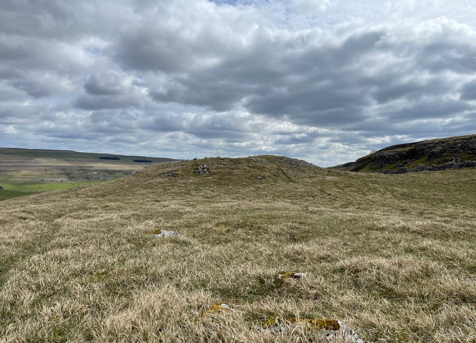
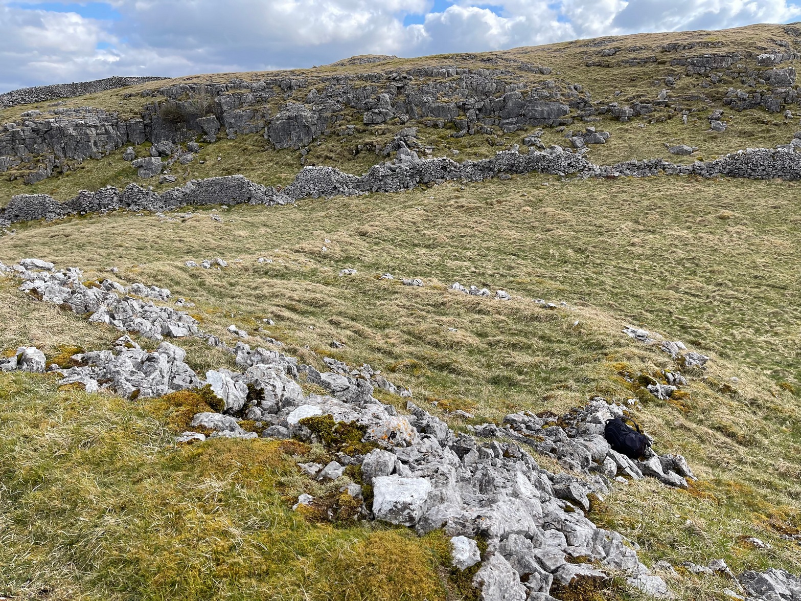
Walled section, looking W
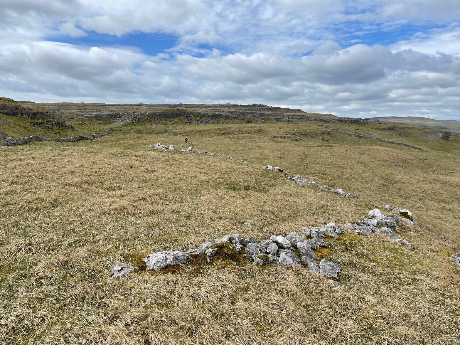
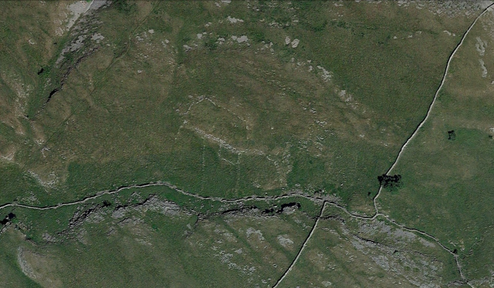
On top of a small rise in the land is this large, roughly rectangular walled enclosure measuring about 55 yards across at its longest axis (roughly WNW to ESE) and averaging 24 yards wide. The walling is pretty low down and, in some areas (mainly on its eastern edges) almost disappears beneath the vegetation—but you can still make it out – just! The southernmost edge of the enclosure is built upon a the edge of a natural rocky outcrop (typical of many enclosure and settlement sites in this neck o’ the woods) and when you stand on this section you see a very distinct rectangular enclosure, sloping down from here. This would likely have been where animals were kept as it makes no sense as a human living quarter due it being on a slope. But below this, where the land levels out, another low line of ancient walling reaches towards the high modern walls. This is one of three lines of ancient walling running, roughly parallel to the more modern walls (which themselves may have an Iron Age origin) from the main enclosure.
Aerial view of site
The entire structure is Iron Age in origin, but the site would have been in continual use throughout the Romano-British period and possibly even into early medieval centuries (though only an excavation would confirm that). Its basic architecture is replicated in the many other prehistoric settlements that still exist on the hills all round here (there are dozens of them). You’ll see this clearly when you visit the High Sleets enclosure less than 400 yards southwest from here.