Hillfort: OS Grid Reference – SD 963 558
Getting Here
Travel up the B6265 (Skipton to Grassington road) for a mile, watching on the small hills on your left (western) side, and then take the left turn up to Sandy Beck. You can’t miss the place!
Archaeology & History

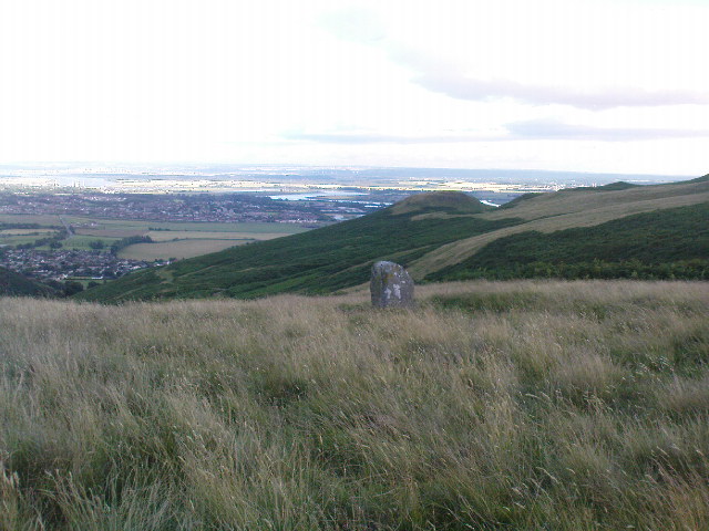
My first view of this place was from the hills east of here, atop of one of the great rock outcrops on the edge of Embsay Moor. The very first impression it gave me was – “That’s a bloody hillfort!”: an obvious worked rounded hill, with ridges typical of such monuments. Subsequent investigation found that there were extensive remains of walling, more typical of the Iron Age period than the neolithic (which some modern archaeologists have proposed), clearly visible around the edges of this great hill. The structure of the site is similar in size and design to the remains at the nearby Horse Close Hill above Skipton, aswell as another (officially unknown) site closer to Keighley. A large overgrown cairn rests on the southern side of the hill, seemingly more of archaic import than a mere clearance or marker point. But I may be wrong…
Very notable at this site are the profusion of springs emerging from all round Rough Haw: the blood of seven such water sources comes from its edges on all sides and would obviously have been of some importance here.
References:
- Dixon, John & Phillip, Journeys through Brigantia – volume 1: Walks in Craven, Airedale and Wharfedale, Aussteiger Publications: Barnoldswick 1990.
© Paul Bennett, The Northern Antiquarian