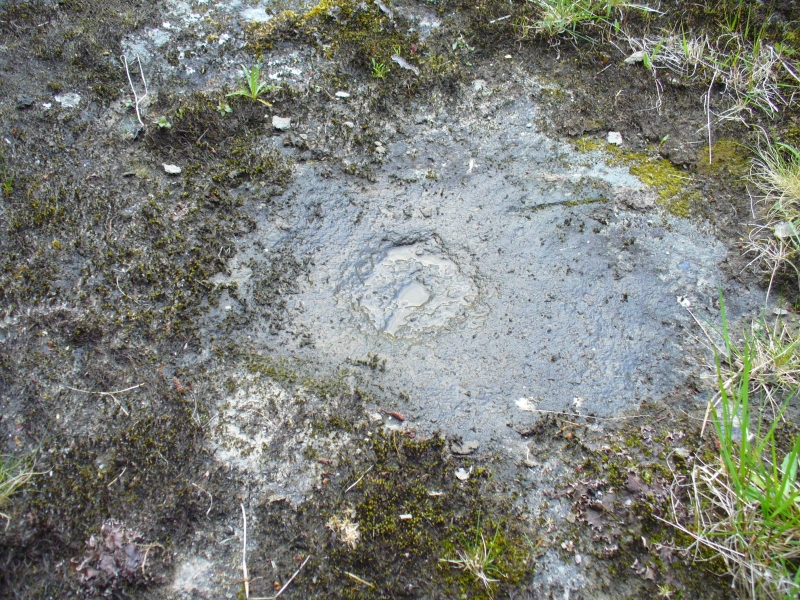
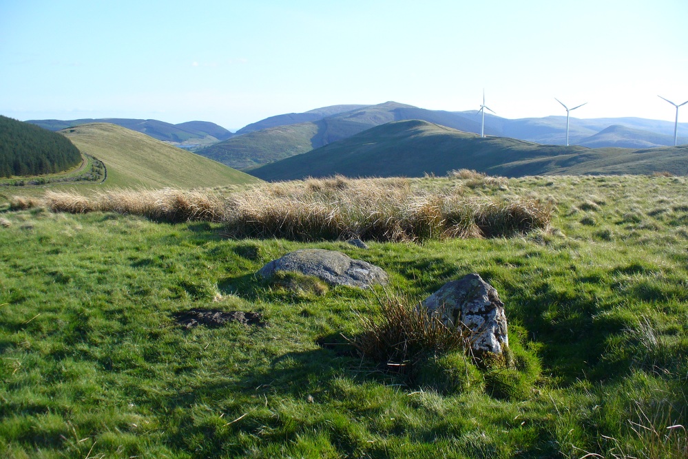
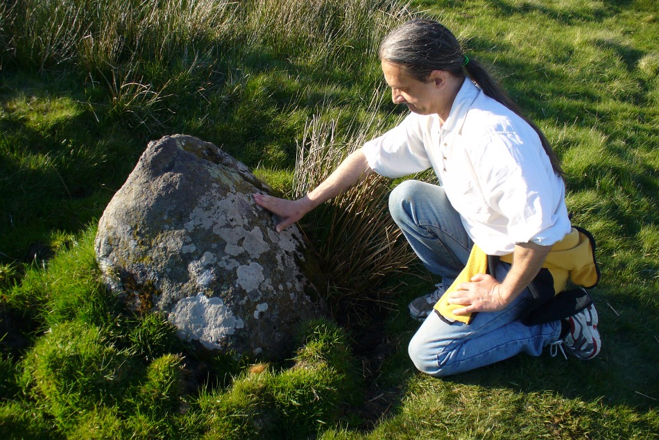
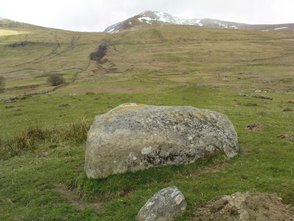
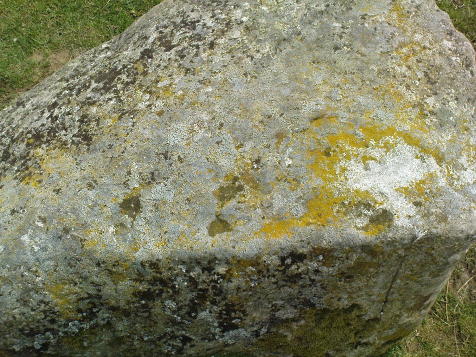
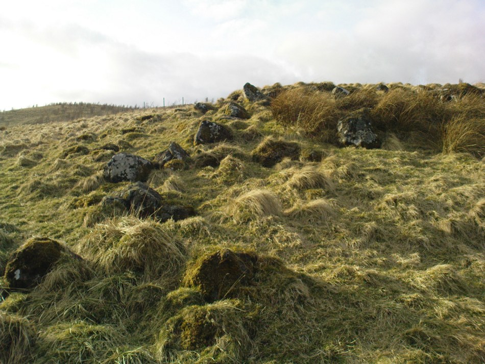
Get to Pubil at the top of Glen Lyon, then walk on the track on the north side of Loch Lyon. Several miles along you turn up Glen Meurain. When you reach the crossing of the stream, follow the waters up Allt Meurain for about 3-400 yards until you find a small flat section of marshland right by the streamside. You’ll notice rocky undulations of human remains here, and a distinct small cairn of rocks near the top of this section. Have a good rest here (and I’d advise avoiding the place in the summer months).
Archaeology & History
Remote indeed is this small cairn—less than 3 feet high and 4 feet across—sitting by the burn-side in a place many miles from any human habitation. It is found amidst a small cluster of other archaeological remains close to each other, as if indicating a settlement of sorts, abandoned probably around the time of the Highland Clearances. Although it is highlighted on modern OS-maps in antiquated lettering, the cairn here looks like it is only a few centuries old. A larger mass of rubble stone is found adjacent to the small pile of rocks, from which it may originally have been taken. Without archaeological analysis we will not know for certain the real age of this old tomb.
MacRee’s Cairn & adjacent rubble
Folklore
The small grassy hillside immediately across the trout stream here is known as Sith Trom’aidh – the Sad Fairy mound, whose history appears to have been lost. Alexander Stewart (1928) told that this cairn was the burial place of one of Colin Campbell’s dairymaids, found and slain here during a skirmish with cattle raiders in the 16th century.
References:
Stewart, Alexander, A Highland Parish; or, The History of Fortingall, Alex MacLaren & Sons: Glasgow 1928.
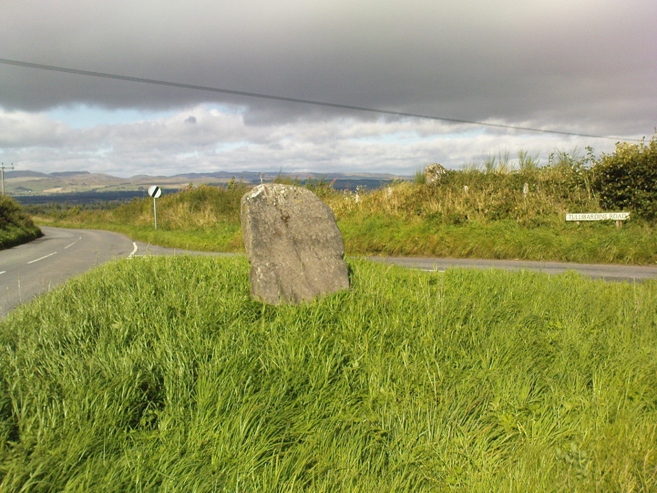
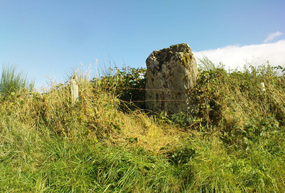
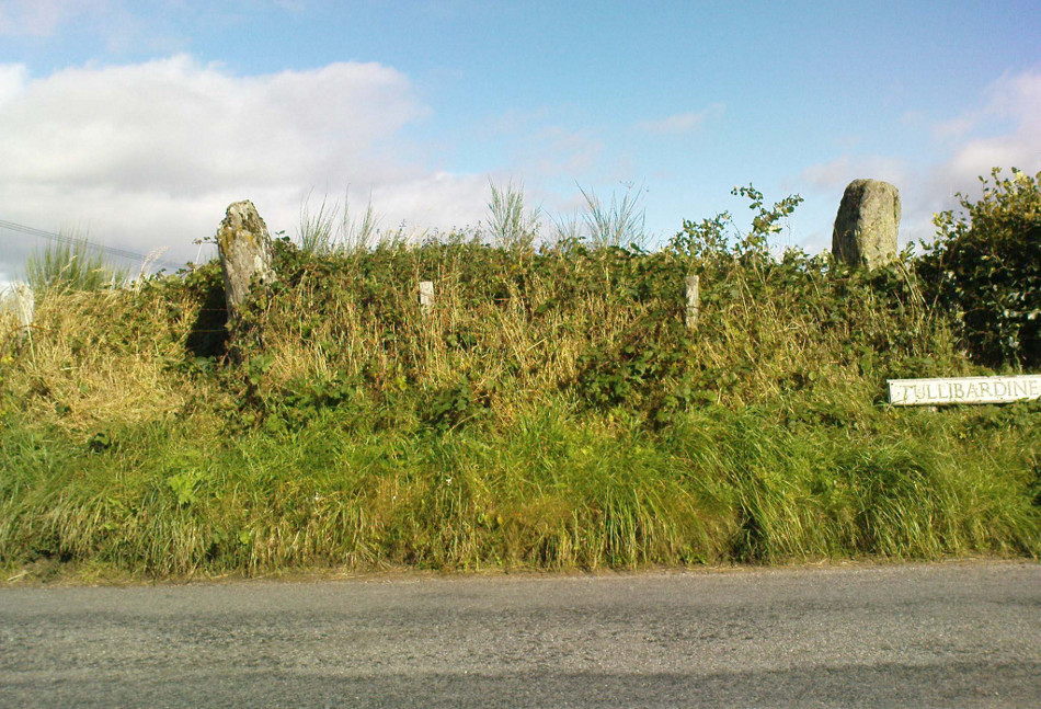
From Auchterarder’s A824 main street, going out towards the golf course take the Orchil Road on your right and then about fifty yards along, turn right again up Tullibardine Road. Park up somewhere about a hundred yards along, then just walk further down the road until you’ll see the standing stone right at the road junction. Look into the field on your right, above you, and another two are hiding in the brambles and grasses.
Archaeology & History
Included in Andy Finlayson’s (2010) fine local survey, this is an intriguing little group of three standing stones (and a fourth buried beneath the turf), all very close to each other. They are shown on the modern Ordnance Survey maps as “standing stones”, but have been catalogued by archaeologists as the denuded remains of a ‘Four Poster’ stone circle. Despite this, the circle wasn’t included in Aubrey Burl’s (1988) definitive work on the subject, nor his megalithic magnum opus. (Burl 2000)
Northern hedgerow stone…and two in the hedgerow
Of the two uprights above the roadside at the field edge, a faint carved hand can be found on the upright west-facing side of the southernmost of the two standing stones. Although faint, this doesn’t appear to be ancient. Written accounts of these stones are few and far between it seems. The earliest seems to be in the lengthy essay written by Mr Hutchison (1893), in which he gave an excellent account:
“Less than a mile to the west of (Auchterarder)…is a fine group of stones, two only of which are now standing. These stand on the summit of what has been a well-defined mound, and the stones now lying where the roads unite seem to have stood originally at the same height. The road has been driven through the group at a lower level than the summit of the mound, and the stones have been thrown down and laid in the waste space at the point of junction. The small mercy to be thankful for is that they have not been broken up altogether and used for road metaL This has probably been due to the circumstances that one of these stones has a curious encircling groove running round it, which perhaps impressed even the vandal roadmakers with the idea that it might be worthy of preservation. It would be interesting to know whether, when the circle or group of stones was cut through, any cist or interment was found. One would expect such to be the case, but I have not yet got any information on the point. There are several stones lying on the spot which may or may not be pieces of the original standing stones. Two considerable bits of old red sandstone, at least, look as if they were fragments of an original whole. Two great stones, however, are unmistakably prostrate standing-stones; and from the positions in which they lie, it seems to me as if the persons who had uprooted them had laid them down as nearly as possible on the sites they had occupied (at the original higher level, of course) when standing.
“The direction in which both of the standing stones point is 236º, and a line taken from each of the prostrate stones to the opposite standing one gives very nearly the same angle (240º). The prostrate stones are of metamorphic schist. The northerly one measures 7 feet in length by 3 feet in width, and is from 12 to 18 inches thick. A grove or furrow, 2 inches deep at its greatest depth, and from 2 to 4 inches wide, appears to run right round it, at a distance of 2 feet 10 inches from the end, which may have been about the middle height of the stone when erect. The lower side of the stone cannot be seen, but the appearance at the edges indicates that the furrow is carried all the way round. It looks just such a hollow as might be worn in stone by the long continued attrition of an iron chain. The more southerly prostrate stone is 6 feet in length, 4 feet wide, and has an average thickness of 18 inches. The two stones still standing are on the high bank above the road, just inside the hedge. These are both of old red sandstone, thinnish slabs, facing in the direction already mentioned. That to the south is 4 feet 10 inches in height, 2 feet 8 inch broad at the base, and 10 inches thick. The other is 5 ft. 3 in. at its greatest height, 3 feet 10 inches wide, and from 13 to 15 indies thick. On its northern face it shows a number of depressions or indentations curiously resembling prints of human feet. These Mr Kidston considers to be due to natural weathering.”
Southern carved stone
Yet the “prints of human feet” are very much man-made. A closer examination of these carvings is obviously needed.
Whether these stones originally played a part in an old tumulus, a cairn circle, or a typical stone circle, is hard to say with any certainty now. We are in a landscape where megalithic remains were once in great excess: with the standing stones of Blackford to the south; the lost circle of Gleneagles nearby; the megaliths near Muthill and many many more…
References:
Burl, Aubrey, Four Posters: Bronze Age Stone Circles of Western Europe, BAR 195: Oxford 1988.
Finlayson, Andrew, The Stones of Strathearn, One Tree Island: Comrie 2010.
Hutchison, A.F., “The Standing Stones of Stirling District,” in The Stirling Antiquary, volume 1, 1893.
Strachan, Favid (ed.), A History of Blackford, Blackford Historical Society 2010.
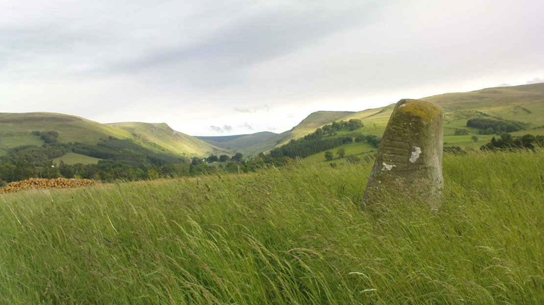
Along the A9 dual carriageway between Blackford and Auchterarder, take the A823 road south, up Glen Eagles as if you’re going towards Pool of Muckhart and Dunfermline. Less than 100 yards up the road, turn immediately to your right and park-up. On the overgrown grassy land on the right-hand side of the road, you’ll see this solid monolith calling for your attention. You can go through the gate. You can’t really miss it!
Archaeology & History
Looking south, to the fairy-haunted Ben Shee
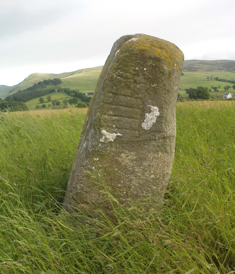
Described by archaeologists as a Class 1 Pictish Symbol Stone (and shown on OS maps as such), this is a fine solid standing stone more than 5 feet tall, with a lovely view up Gleneagles to the fairy mountain of Ben Shee beckoning in the distance. Immediately north on the other side of the dual carriageway, the tree-lined mound 100 yards away is an ancient fort (which we’ll deal with in another entry); and of course we have the nearby companion of the Gleneagles A standing stone a coupla hundred yards west. Whether or not this stone and its western companion ever had anything to do with the lost stone circle of Gleneagles, we might never know.
Close-up of the carved designsCharles Calders drawing of the carvings
Although it seems consensus opinion that the standing stone here is prehistoric, the monolith was of some venerable importance to the Pictish people of the Ochils, who, according to the Royal Commission lads (1999) carved on this stone “the faint symbols of a goose and rectangle.” The rectangle, however, is in fact a parallelogram—as the images here clearly show. Archaeologist Richard Feachem (1977) thought the design was in fact “a double-sided comb.” I have my doubts (a much smaller and probably more recent parallelogram design was recently identified on the upright face of the large Dunruchan D standing stone, about 10 miles WNW of here). The ‘goose’ is carved above this geometric form and is much fainter, which may imply it was carved much earlier. In Elizabeth Sutherland’s (1997) survey, she suggests the bird may be an eagle. It is equally possible that it is a swan.
The earliest detaied account of this stone and its companion is in Mr Hutchison’s (1893) fine essay, where he wrote:
“On the south side of the road from Blackford to Auchterarder, about 150 yards west from Loaninghead where the line of the road is crossed by that from Gleneagles to Crieff, stands a fine stone of Highland grit. It measures 4ft. 10in. in height above ground, 10ft. in girth at the base, and 6ft. 9in. in circumference at top. It shows four sides of nearly equal measurement:— that facing north being 2ft 4in., south 2ft. 8in., west 2ft 5in., and east 3ft. On the north is an incised figure in the form of an parallelogram, 10in. broad by 9in. high, divided into three equal portions by two horizontal lines.”
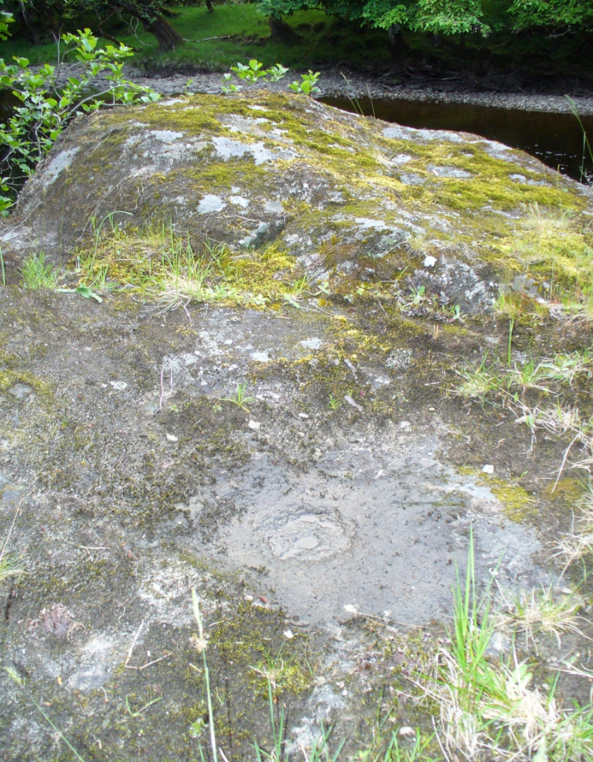
Troublesome to get to unless you’re reasonably fit. Probably the easiest route is to get to the Duncroisk 3 cup-and-ring stone. Keep walking along the riverside, climb over the first tall wooden fence and onwards till you reach the rocky crag reaching into the river Lochay. By whichever means possible, get yourself up and round this crag, but keep by the riverside till you get to the easier walkable rocky outcrop protruding into the river on the other side of the drop. Hereby, on one of the stones, look and you’ll find these faint cup-and-ring symbols.
Archaeology & History
Although this carving was first described in Edward Cormack’s (1952) essay on the prehistoric carvings of the district, they have subsequently proved difficult to locate by the Royal Commission lads and other archaeologists. I’ve been here a few times looking for it and never managed to find it — until last week. When Mr Cormack first told of the design, he said:
“On a smooth rock surface just above the mouth of the small burn running into the Lochay, immediately west of the cup-marked ridge, are two cup-and-ring markings a yard apart. The rings are curiously rough edged, and do not give the same impression of weathering as those on the ridge; possibly they have been silted over shortly after being cut, and exposed again relatively recently.”
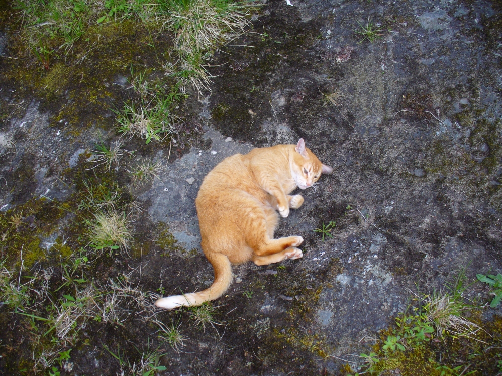
Flambeau the Cat uses the carving as his bed!
A few decades later, Ron Morris (1981) came across the carving, 10 yards “southeast of an elbow of River Lochay”, as he put it. Described as “hard to find”, he went on to give a basic outline of the design as he saw them, telling there to be “2 cups-and-one-ring, both probably complete, up to 16cm (6in) diameters, with radial grooves from cup to ring—up to 1cm deep.” Or more simply, two cup-and-rings, each with a line running from the centre to the surrounding ring.
After trying to find this carving on several occasions, without success (somehow!), it was brought to my attention under the brilliant guidance of a local cat called Flambeau only last week (no lies!). In a venture down to the riverside, the great cat (in tandem with Pip the dog, who also ventures out with me to find ancient sites in this region) got to the riverside on the rock in question and began rolling about in the dust on the stone, mewing and purring away merrily! It was really brilliant to watch. Sincerely heart-warming (soz…but I can’t help it!).
Primary cup-and-ring at Duncroisk (2)
I stepped over and complimented him as he looked superb (hence the photo, above) and he just kept purring. Then, curiously, he stood up and began scratching at the dried earth on the rock, mewing away whilst doing this. Twas very odd indeed. But there, exactly where Flambeau has been scratching and rolling about, it seemed a faint cup-mark was apparent. And such it was! So I got on my knees and began cleaning away the dirt from the rock — and there, right where he’d been purring and playing, was the lost cup-and-ring carving!
Its location would suggest that the carving had some relationship with water: be that the spirit of the place, or a good site where fish can be had, or a place where someone had drowned, etc. We’ll probably never know… But it’s a beautiful spot, with the impressive Stag Cottage carvings in the adjoining field, and the newly discovered Corrycharmaig East carvings on the other side of the river — plus many others in the area.
Folklore
The River Lochay where this carving is found is named after a dedication to the Black Goddess, according to Prof. W.J. Watson. (1926) The stream by the side of the carving which runs into the River Lochay has been the place where faerie music has been heard by local people in times past.
Morris, Ronald W.B., The Prehistoric Rock Art of Southern Scotland, BAR: Oxford 1981.
Royal Commission on the Ancient & Historical Monuments of Scotland, Archaeological Sites and Monuments of Stirling District, Central Region, Society of Antiquaries of Scotland 1979.
Watson, W.J., The History of the Celtic Place-names of Scotland, Edinburgh 1926.
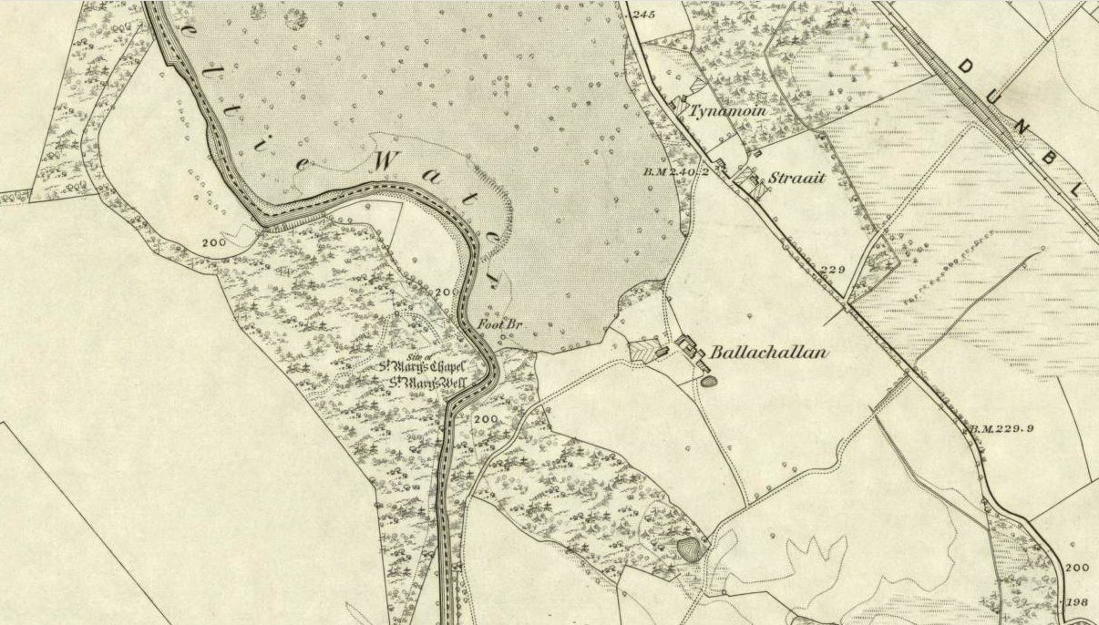
You’ll need wellies or no shoes for this excursion! From the lovely town of Callander, take the A84 road southeast out towards Doune and Stirling for a mile or so. Keep your eyes peeled for Straid by the roadside on your left and the turning right down to Ballochallan quarries. About 200 yards down, notice the industrial works on your left. Walk about 50 paces past this, then turn right into the trees. Less than 100 yards in, you’ll hit a shallow bend in the River Teith. Walk across and into the trees opposite…and if you amble just yards above the edge of the river, along the tree-line, you’ll find St. Mary’s Well…
Archaeology & History
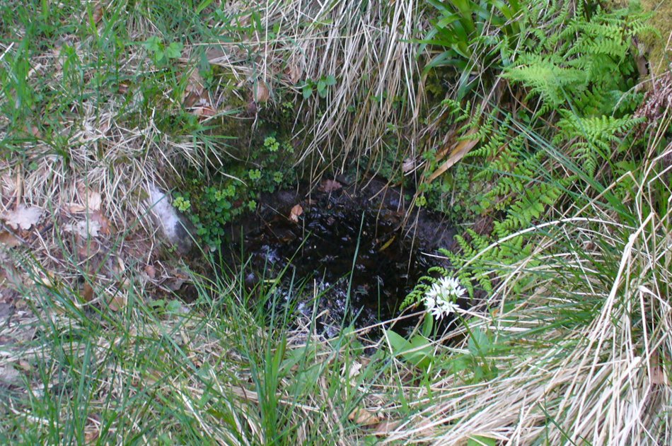
Fresh waters of the quartz-lined spring
Highlighted on the 1862 Ordnance Survey map of Callander and cited in the Object Name Book of the same year, oddly there is no mention of this mythic site in the Scottish surveys on holy wells (MacKinlay 1894; Morris 1981) — which seems rather unusual considering the importance this legendary entity (St. Mary) possessed in the christian pantheon.
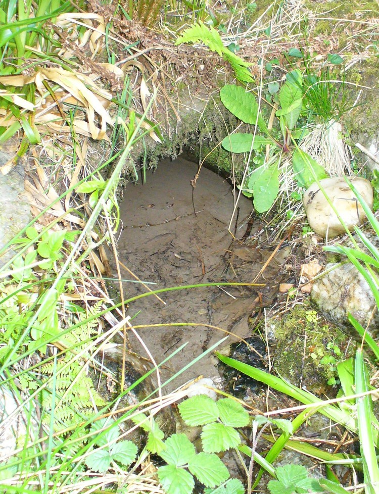
There is also some doubt about the precise position of this holy well. According to the Royal Commission account, the well “is stone lined; it measures 0.9m in diameter, and is choked with fallen leaves.” However, this appears to be the remains of a latrine (or “a bog,” as my northern tongue so eloquently exclaimed soon after finding it), now used more by frogs to lay their spawn in which their tadpoles thankfully emerge (as we found when visiting it last week). The holy well itself is about 10 yards further along the edge of the river and has a most curious architectural feature to it.
Stone-lined “well” 10 yards west of the real one
When we found the place, much of it was very overgrown indeed and it took a while to recover its status. But in doing so, we found that on all sides where the stone-lining marked the emergence of the waters, rocks large and small consisting almost entirely of quartz constituted the opening as it came out of the ground. This was a very deliberate construction feature no less! Also, the fine sandy silt which clogged up the waters were also found to have small pieces of quartz laying beneath it, seemingly as offerings that had been made here many years ago. But on the whole there seemed little evidence that the well had been used ritually for many years. So, once we’d cleaned up the debris and made the site more notable, I drank its waters and found them very fine and refreshing indeed!
In the trees behind the well you will find the overgrown remains of the old chapel, also dedicated to St. Mary. The tranquility and spirit of this place would have been truly superb. Even today, it is an ideal retreat for meditation and spiritual practice. It just seems such a curious mystery that nothing seems to be known of the place…
Folklore
The 1862 “Object Name Book” told that the waters here were renowned for having great healing properties. St. Mary’s feast day was August 15 and great were the country fairs and rituals surrounding this period across Scotland and beyond — many of which may have supplanted the more arcane festival of Lammas. However, local records are silent about any such events performed at Callander’s St. Mary’s Well. Do any old locals know more about it…?
References:
MacKinlay, James M., Folklore of Scottish Lochs and Springs, William Hodge: Glasgow 1893.
Takes a bitta finding this one. Best found by going along the gorgeous, little-known Dunning Glen in the eastern Ochils, till you reach Littlerig house. Cross the road from there and follow the line of the burn and forest till it veers sharp left. Keep along the fencing until the marshland levels out and streams fall away both east and west. From here, walk uphill until you reach level ground, then, looking down the Borland Glen, zigzag downhill for 100 yards. Keep your eyes peeled for stones emerging from the Juncus grasses.
Archaeology & History
This four-poster stone circle isn’t included in Aubrey Burl’s (1988) survey of that name, nor his 2000 AD magnum opus on megaliths. The site appears to have only recently been rediscovered. Shown on modern OS-maps in non-antiquated lettering, this may be due to verification being required to authenticate its prehistoric status. It’s certainly in a peculiar position in the landscape here — and seems more likely to have been built just 100 yards uphill on the level grassland plain where views east, south and west open up almost with the majesty of Castlerigg!
Fondling & puzzling over cup-marks on one of the stones
When Paul Hornby and I ventured here yesterday, we mistook the arc of three stones on the flat plain with the ring of stones that are down the Borland Glen slope ahead of us, so good was the position! But at least one thing came of this: of the arc of three stones shown in the photos here, one of the rocks possesses cup-markings, which you can make out here in one of the close-ups.
The dimensions of the four stones that make up the ‘circle’ down the slope was measured and described by the Scottish Royal Commission lads as follows:
It comprises four stones, which define a trapezium measuring 3.2m along its N and W sides, 2.7m along the S and 2.5m along the E. All the stones are set square at the corners with their long axes lying E and W, and they present a long flat face to the interior. The two on the N are markedly larger than the others, and that on the NW is also the tallest. The dimensions of the stones are as follows: NW – 1m by 0.5m and 0.65m high, NE – 0.8m by 0.4m and 0.3m high, SE – 0.73m by 0.43m and 0.2m high and SW – 0.73m by 0.38m and 0.4m high.
One of the most notable features a visitor to this site will find, is the utter silence as you walk up the slopes to reach the place. And then, once away in the opening landscape, a view of velvet Earth in all Her beautiful shades surrounds you – assuming you go here on a sunny day! Well worth the wander if quiet hidden megaliths are your pleasure…
References:
Burl, Aubrey, Four Posters: Bronze Age Stone Circles of Western Europe, BAR 195: Oxford 1988.
Burl, Aubrey, The Stone Circles of Britain, Ireland and Brittany, Yale University Press 2000.
Acknowledgements: Many thanks to Paul Hornby for use of his photos.
Along the A827 Loch Tay road between Morenish and Lawers, take the track uphill where Carie farmhouse and Tombreck are either side of the road. Walk up this track 2-300 yards till you go through the gate just past the sheep-folds on your left. Ahead of you is a small grassy hillock on your right – go to the top of it, where you’ll find one of them has a row of cup-markings on its northern edge.
Archaeology & History
This is a reasonably large boulder near the top of the hillock above the trackside. Several rocks have what may be single cup-markings on them, but this roughly oblong-shaped block has four or five of them running along the more northern edge of the stone, in a rough line sloping gently down the surface of the rock. No carved rings or other lines were immediately notable here. It’s nothing special to look at and will probably be of interest only to the hardcore petroglyph enthusiasts amongst you. However, there are many more ornate cup-and-rings found further along the ridges close by (which we’ll add as the weeks and months go by); as well as the remains of a prehistoric enclosure about 200 yards southeast. The small standing stone of Carie is roughly the same distance to the south.
Cup-marks visible along the edge…and from above
(Note: although I’ve listed this as the ‘Tombreck 01’ carving, this is likely to be revised in the near future as there is a large gathering of carvings all around this area. The region is still being surveyed and the designations of the petroglyphs will be revised as and when they are recorded more fully, or if/when a detailed published account catalogues them satisfactorily.)
References:
Currie, George, “Kenmore: Tombreck (2-4), Cup-and-ring Marked Rocks,” in Discovery & Excavation in Scotland, New Series volume 10, 2009.
Currie, George, “Kenmore: Tombreck (5-7), Cup-Marked Rocks,” in Discovery & Excavation in Scotland, New Series volume 10, 2009.
Along the A823 road from the Pool of Muckhart up to Glendevon, watch out for the small left turning opposite the car-parking spot by the Castlehill Reservoir a couple of miles up the road. Walk up this small road a mile or so to the Glenquey reservoir, taking the footpath on your right and making sure you walk along the north-side of the waters. You’ll eventually reach a small set of beautiful mossy green waterfalls (with the rounded fairy hill of Maiden Castle ahead of you). This is the Garchel Burn. Take steep the path up the side until it levels out a bit, heading for the small clump of stones on the near skyline a couple of hundred yards ahead. That’s it!
Archaeology & History
This is a curious little cluster of seemingly multi-period remains sitting on the edges above the gorgeous waters of the Garchel Burn. The Royal Commission Canmore report ascribes the scattered rocky cluster below the deer-fencing as the main hut circle – and the line of walling running slightly down the slope does have that traditional Iron Age look about it. But it’s yet to be excavated. The larger ring of stones constituting the main ‘circle’ is very much bogged-down, literally, amidst tussock and marshland, with an arc of stones running away from the circle and it’s obviously been made use of it by people in more recent times.
Small ‘hut circle’ to centre
Below the larger rock cluster is a lovely oval structure, built upon a slight rise overlooking the burn, with all the rocks in the structure overgrown with age and grasses. Tis a beautiful spot to sit and hear the silence of the waters around you. Aerial images show the outlines of other roughly circular remains in the same area, but none are yet excavated – and some are distinctly much later in period, medieval by the look of things and very probably used by farmers in more recent centuries. In all probability, there are more things to be found up here, hiding within the forests…
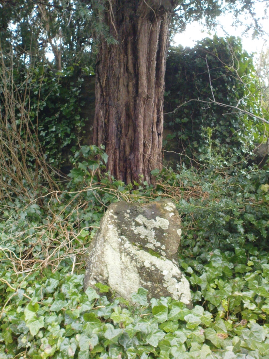
Go into the Fortingall churchyard, turning left through the gates (walking across in front of the enclosed sacred yew tree), towards the dip in the walling past the graves. Go over this wall, turning left and through another small gate. Immediately through the gate, note the small upright stone on your right, below an offspring of the old yew tree. That’s the spot!
Archaeology & History
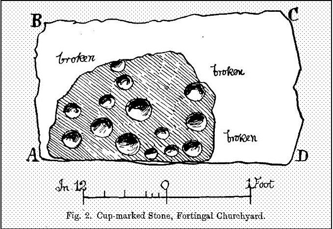
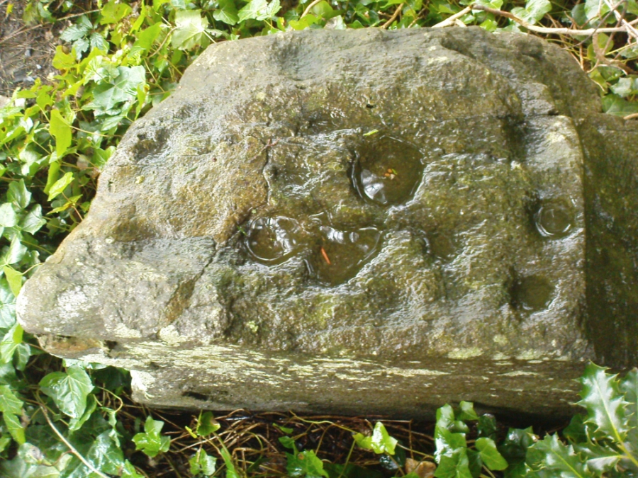
In the legendary churchyard at Fortingall — home to remains from a panoply of beliefs — below the sacred yew tree we find the remains of this hewn piece of stone, recovered from the Earth beneath the roots of the old tree more than 100 years ago. Upon its crown we see a cluster of cup-markings: Fred Coles (1910) counted 14, I counted 13, the Ordnance Survey boys counted 9, and other surveyors are somewhere in between.
Fred Cole’s sketch of the stonePhoto of the cup-markings
Described and illustrated in the Strathtay rock art survey of Sonia Yellowlees (2004), it seems that the earliest mention of the stone was by our Perthshire megalith hunter Fred Coles (1910). When he wrote about it, the site had only recently been rediscovered. He told that he was,
“informed by Rev. W. Camphell, minister of the parish, that in 1903, when some alterations were being made in that portion of the burying-ground belonging to the late Sir Donald Currie of Garth, the workmen came upon this Stone lying at a depth of 8 feet, at a point not many feet distant from the stem of the famous Yew-tree. Noticing the cup-marks on the Stone, the workmen raised it and set it up erect on the site it now occupies, close to the western wall of the Garth burial-ground — about 25 feet from the spot where it was unearthed: In the plan annexed (fig.2) the oblong bounded by the letters A B C D shows the dimensions of the base, and the small cup-marked surface, evidently much broken, and 2 feet 10 inches above ground, shows all that now remains of the work of the prehistoric artificer. There are no rings or grooves, and the cups, except for clearness and neatness of finish, do not present any special features.”
…and another angle.
Mr Coles then made some intriguing suggestive remarks regarding the position of the carving beneath the ancient yew tree (which to those of you who aren’t aware, is believed to be the oldest yew tree in Europe and has a pagan altar next to it), wondering whether the animistic tradition of the tree had anything to do with the carving itself. It would certainly make sense. But there is also the possibility that the carving was brought from elsewhere and placed by the tree at a later date. We simply don’t know.
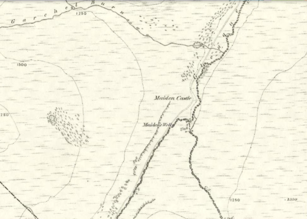
1860 map showing Maiden Castle (and the Maiden’s Well)
Take the small steep road uphill from the town of Dollar in Clackmannanshire towards Castle Campbell. Less than 100 yards above the small parking spot by the small white house near the top of the hill, turn to walk up the footpath on your right above the house, following the edge of the depleted forestry plantation parallel with the valley. Cross the valley a few hundred yards up, but keep to path on the other side that stays parallel with the stream. You’ll hit a small rocky glen a half-mile up. Walk thru it, alongside the very edge of the forest till the trees break and there’s a gap in the hills. You’ve just walked past the Maiden’s Well and in front of you is a large natural rounded hill, which the footpath bends around. This hill is the Maiden Castle. (if you walk round this, a view into the eastern hills and a small lake opens up ahead of you)
Archaeology & History
The fairy hill of Maiden Castle
A large rounded hill marking the opening of Glenquey to the north and the Glen of Care to the south. Although ascribed in place-names old and new as a ‘castle’, there are no remains as such left here to account for this title. Angus Watson (1995) tells of the possibility of the place deriving its name from the Gaelic Creag Ingheann, or maiden crag. In Bruce Baillie’s (1998) survey of the area, in trying to give some relevance to the place-name, he points out that whilst no hillfort or cairn that might help account for the folklore (see below),
“Large-scale maps indicate a spot opposite on Hillfoot Hill as Greig’s Grave. There would seem to be something ancient here but of what nature it is, at the moment, impossible to say.”
When we visited the place yesterday, snow still covered much of the ground hereby, so we couldn’t do our usual explorations seeking for old sites (even the hut circles 100 yards away were covered over). The legendary healing waters of the Maiden’s Well are below here, by the side of the burn.
Folklore
This large rounded hillock was evidently a place of some importance in bygone days if the folktale here is anything to go by. Although the story echoes the some of the core sequences of modern ‘close encounter’ abduction events, other ingredients here tell of more arcane peasant rites that were once part of the social structure of our ancient heathen tribes:
“A piper, carrying his pipes, was crossing from Glendevon to Dollar in the grey of the evening. He crossed the Garchil (a little stream running into the Quaich), and looked at the Maiden Castle and saw only the grey hillside and heard only the wind soughing through the bent. But when he had passed beyond it, he suddenly heard a burst of lively music and turned round to look at what was causing it. And there, instead of the dark knoll which he had seen a few moments before, he beheld a great castle, with lights blaring from the windows, and heard the noise of dancing issuing from the open door. He went back somewhat incautiously to get a closer view, and a procession issuing at that moment from the Castle’s open door, he was caught up and taken into a great hall ablaze with lights, while people were dancing on the floor. He was at once asked to pipe to them and was forced to do so, but agreed to do so only for a day or two. At last getting anxious, because he knew his people would be wondering why he had not come back in the morning, as he had promised to do, he asked permission to return home. The faeries seemed to sympathise with his anxiety and promised to let him go if he played a favourite tune of his, which they seemed fond of, to their satisfaction. He played his very best. The dance went fast and furious, and at its close he was greeted with loud applause. On his release he found himself alone in the grey of the evening, beside the dark hillock, and no sound was heard save the purr of the burn and the soughing of the wind through the bent. Instead of completing his journey to Dollar, he walked hastily back to Glendevon in order to relieve his folk’s anxiety. He entered his father’s house and found no kent face there. On his protesting that he only gone away for a day or two before, and waxing loud in his bewildered talk, a grey old man was aroused from a doze beside the fire, and told how he had heard when a boy from his father that a piper had gone away to Dollar on a quiet evening, but had never been seen or heard since, nor any trace of him found. It turned out the piper had been in the ‘Castle’ for a hundred years.”
The Fortean experts John Keel (1971) and Jacques Vallee (1970) both contended, quite rightly, that some aspects of the ancient encounters related in such folklore has strong parallels to modern UFO ‘abduction’ events. In addition, Paul Devereux (1989) cites that such events occur where strong geomagnetic forces exist in proximity to rock outcrops, as found here.
There is the additional feature in these stories of the music of both faerie and pipers alike, whose revelling jigs carry the mortal out of time and, when returning back to human life, find no one recognises them. This is a condition of some rites of passage in traditional societies, where mothers and fathers no longer recognise their child after they have been through the rituals after visiting spirit-lands and returning as adults for the first time: an element in our faerie-lore that has been overlooked in assessing the nature of these fascinating tales.
References:
Baillie, Bruce, History of Dollar, DMT: Dollar 1998.
Devereux, Paul, Earthlights Revelations, Blandford: London 1989.
Fergusson, R. Menzies, The Ochil Fairy Tales, David Nutt 1912.
Keel, John A., UFOs: Operation Trojan Horse, Souvenir Press: London 1971.
Rhys, John, Celtic Folklore – Welsh and Manx: volume 1, Oxford University Press 1901.
Vallee, Jacques, Passport to Magonia: From Folklore to Flying Saucers, Tandem: London 1975.
Watson, Angus, The Ochils: Placenames, History, Tradition, PKDC: Perth 1995.