Chambered Cairn: OS Grid Reference – NN 65017 09796
Also Known as:
- Tom Dubh
Getting Here
Along the A84 road as you’re heading into Callander, just 300 yards before you reach the the Keltie Bridge caravan park, take the tiny road on your left (north) and barely 100 yards along where a small crossroads can be said to exist, go straight forward up the tiny single-track road ahead of you. Keep all the way up for a mile until you reach Bracklinn Farm (when you meet a split in the road, keep left – and make sure you have parked way further down track of here). Walk up the track past Bracklinn Farm for just over a mile (1.85km), until where the track and the large burn runs roughly alongside each other (past the small Eas Uilleam cairn up to your right) and go through the gate. From here, go immediately left (SW) and walk alongside the dead straight fence for just over 300 yards, then slowly zigzag up the sloping hill. If you reach the derelict walling, you’ve gone too far.
Archaeology & History
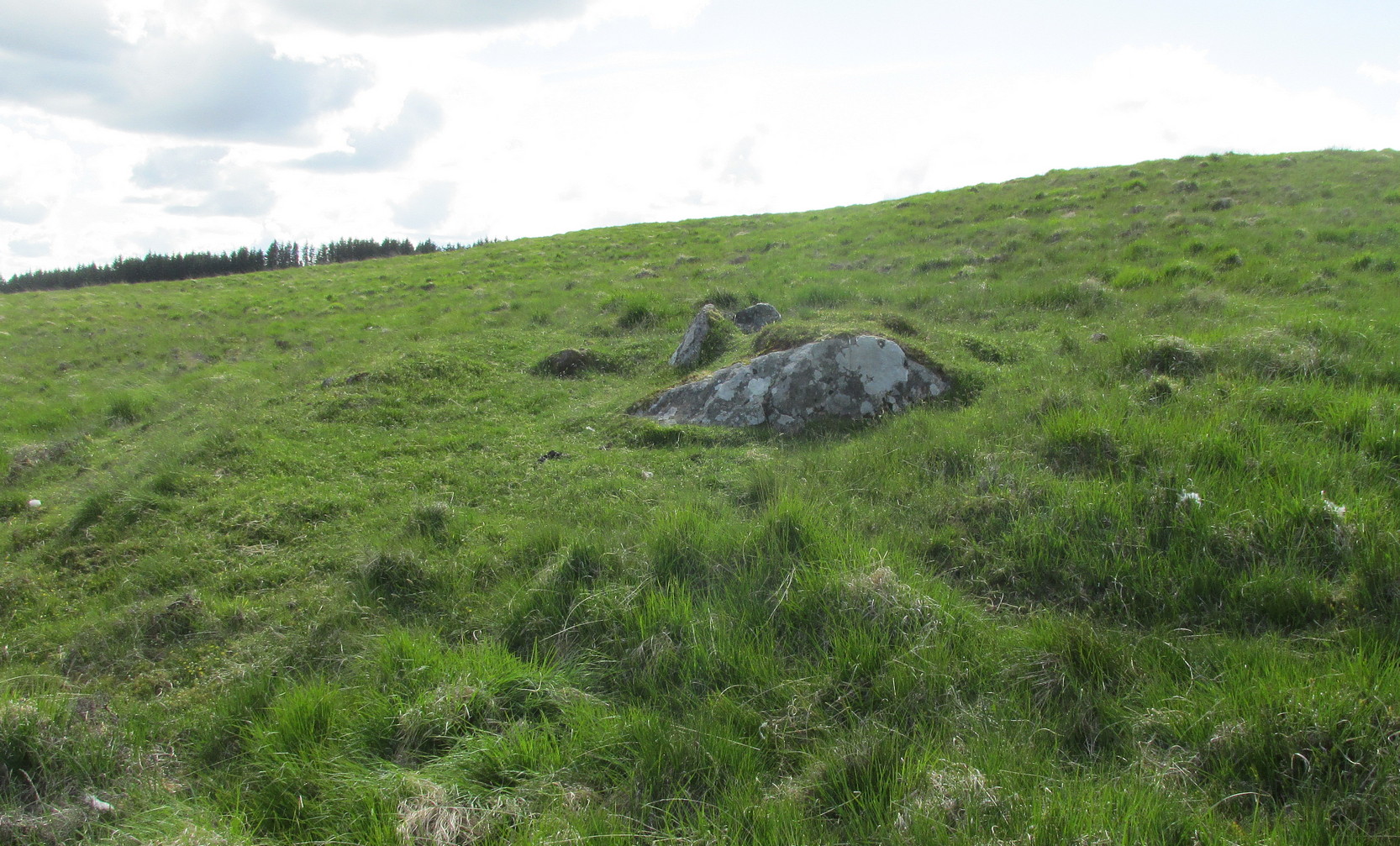
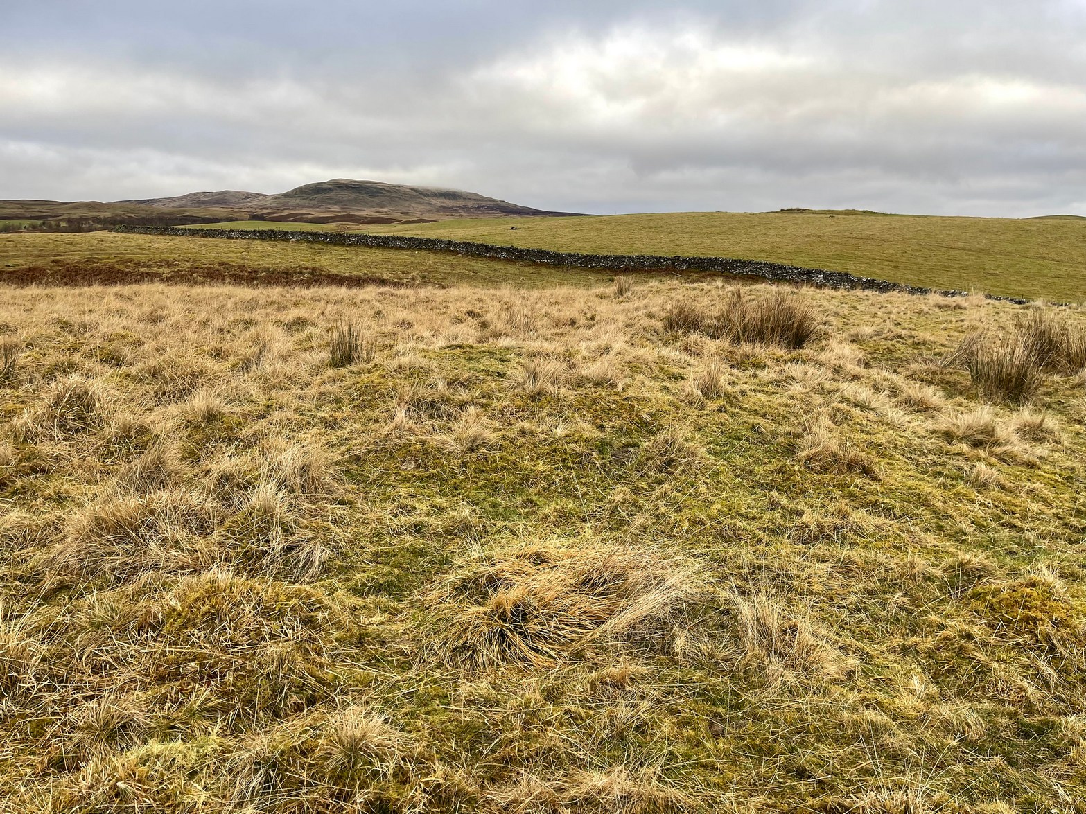
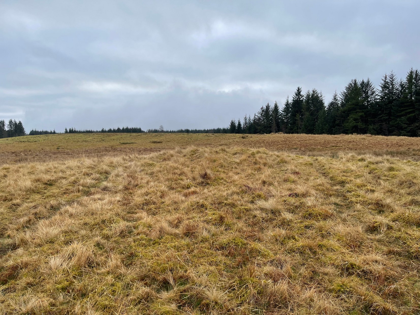
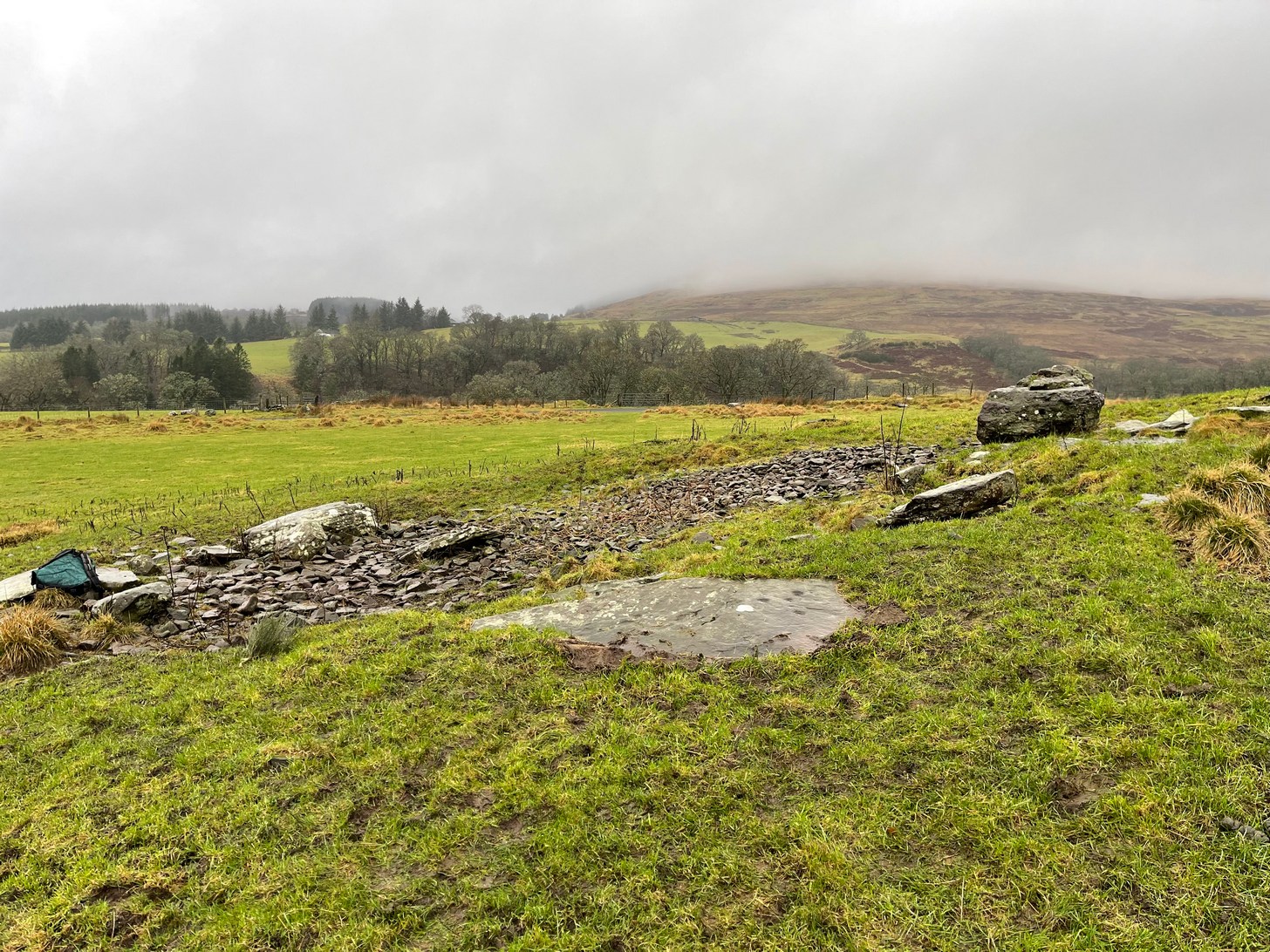
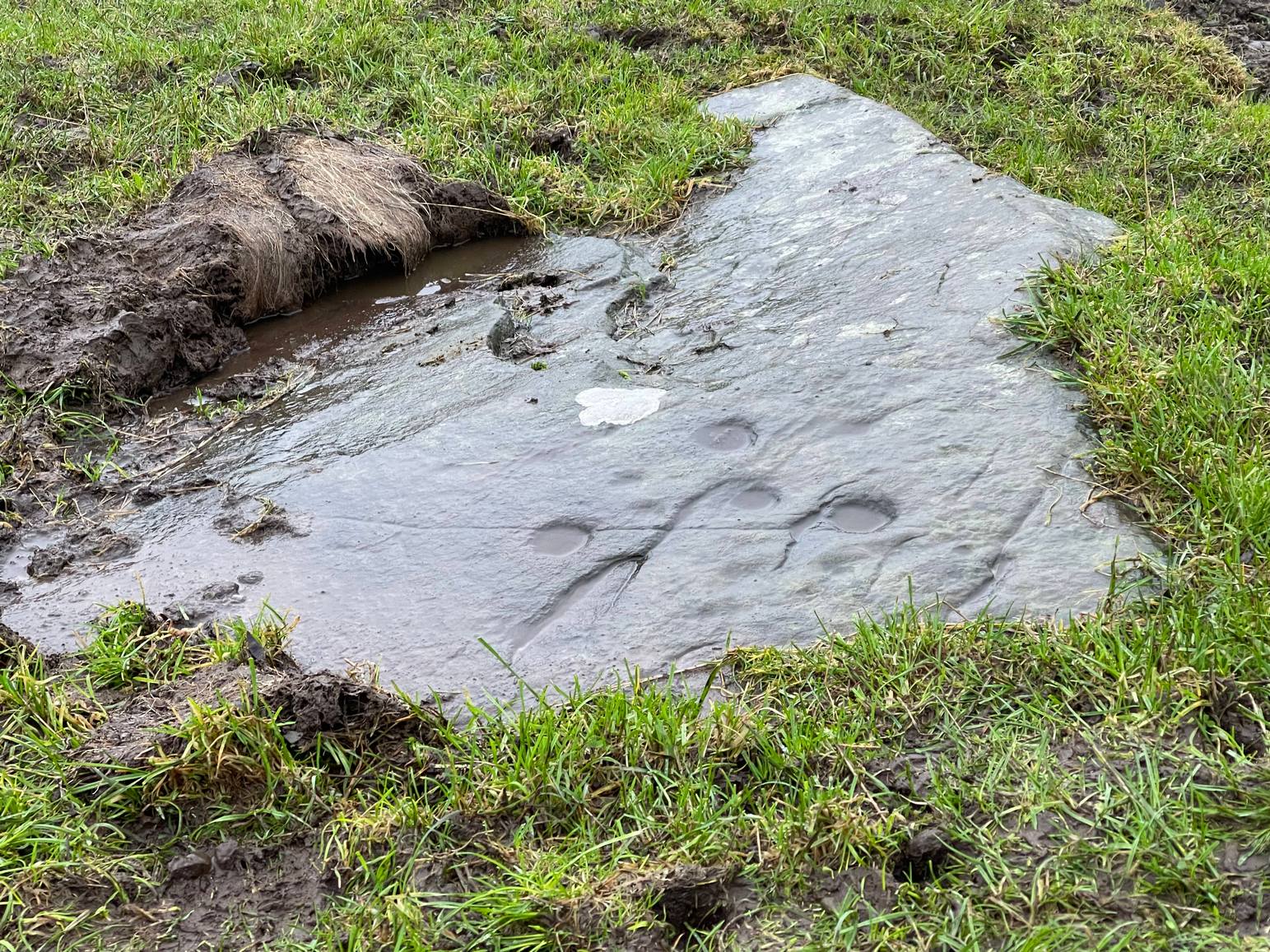
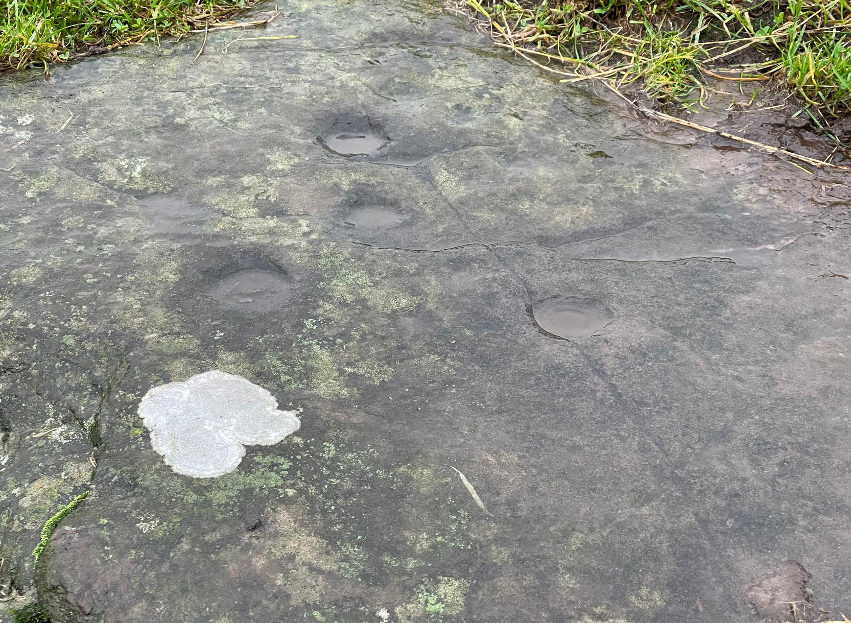
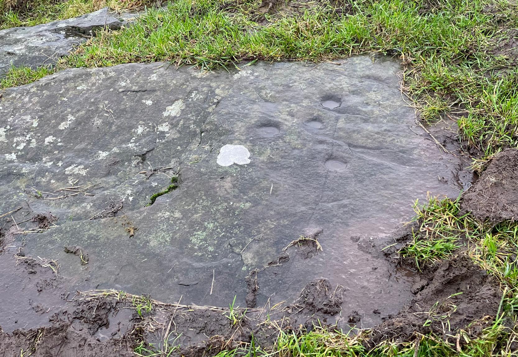
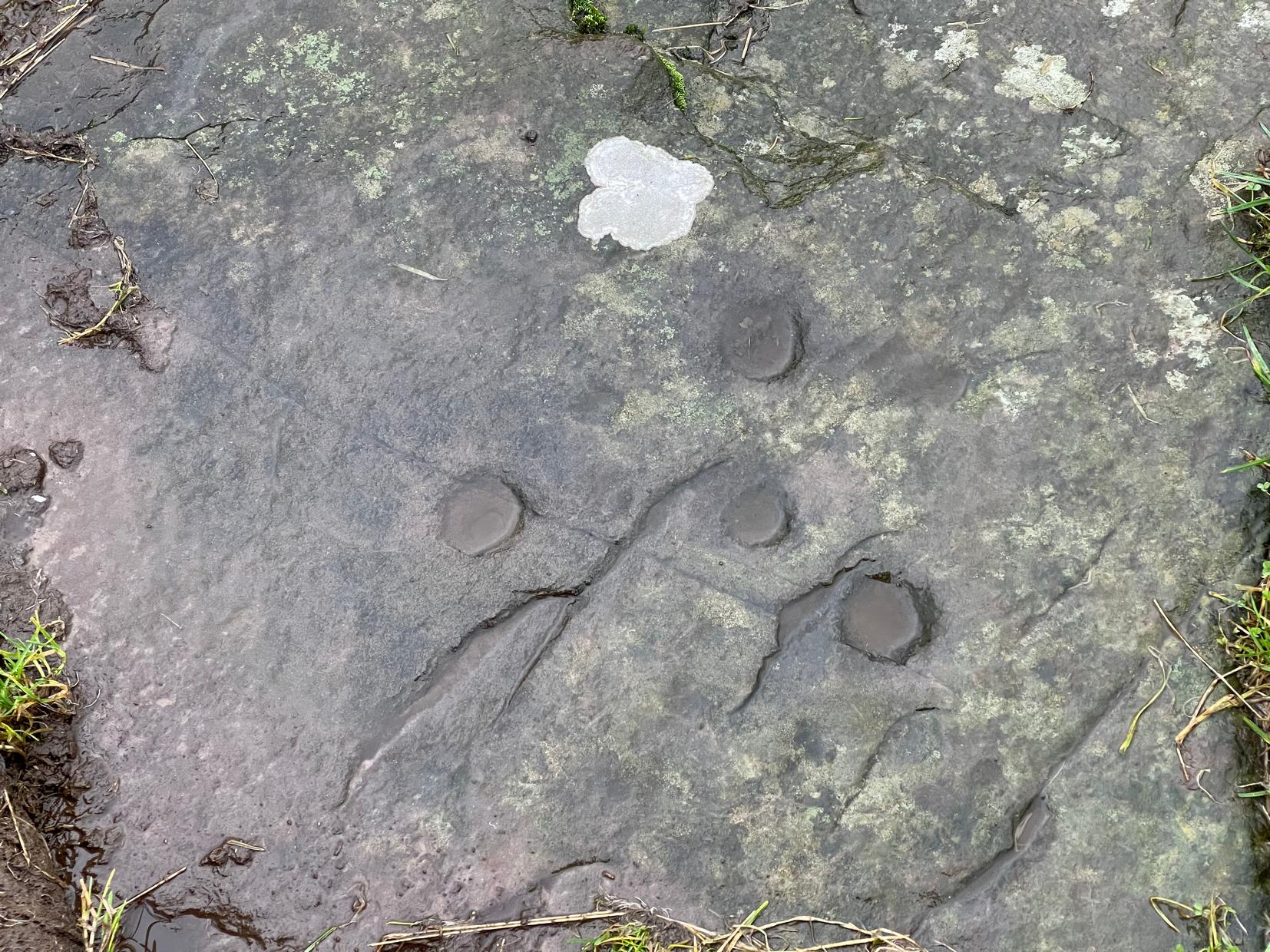
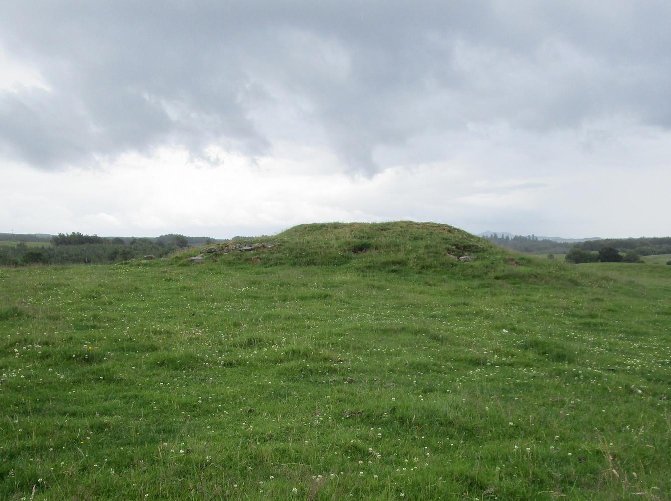
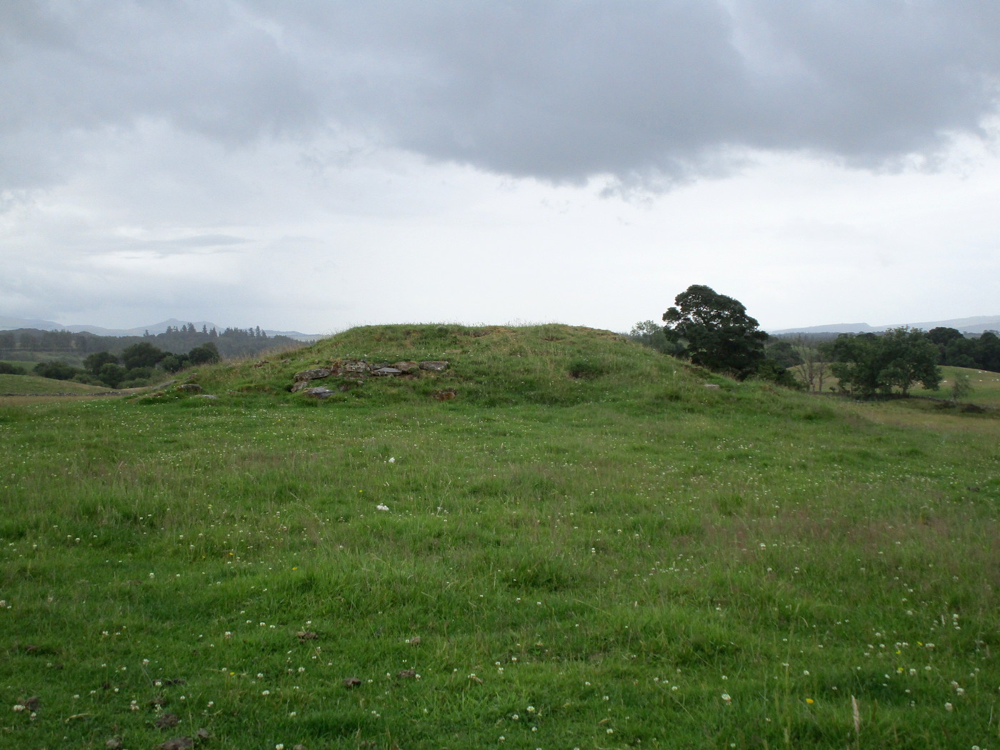
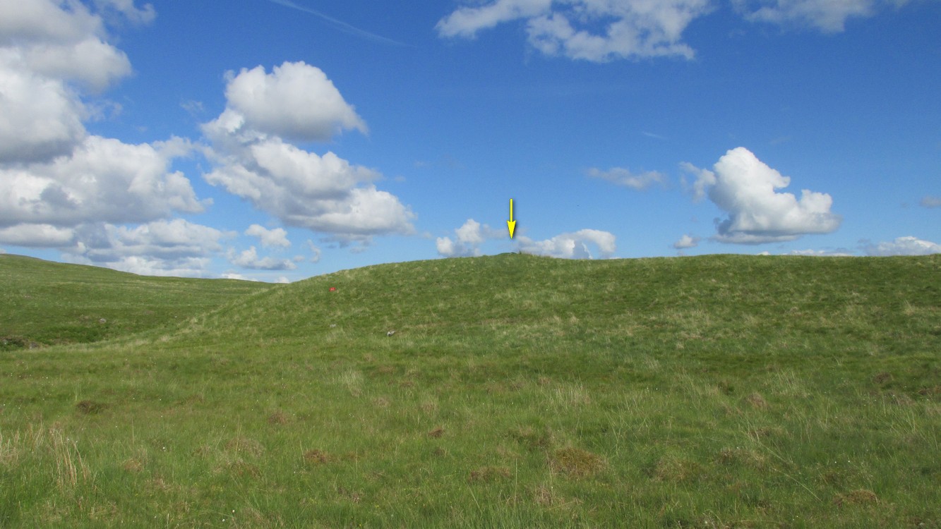
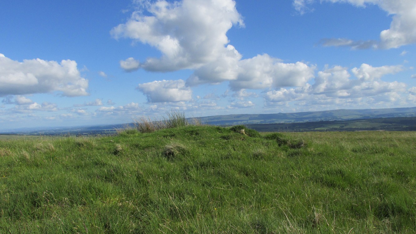
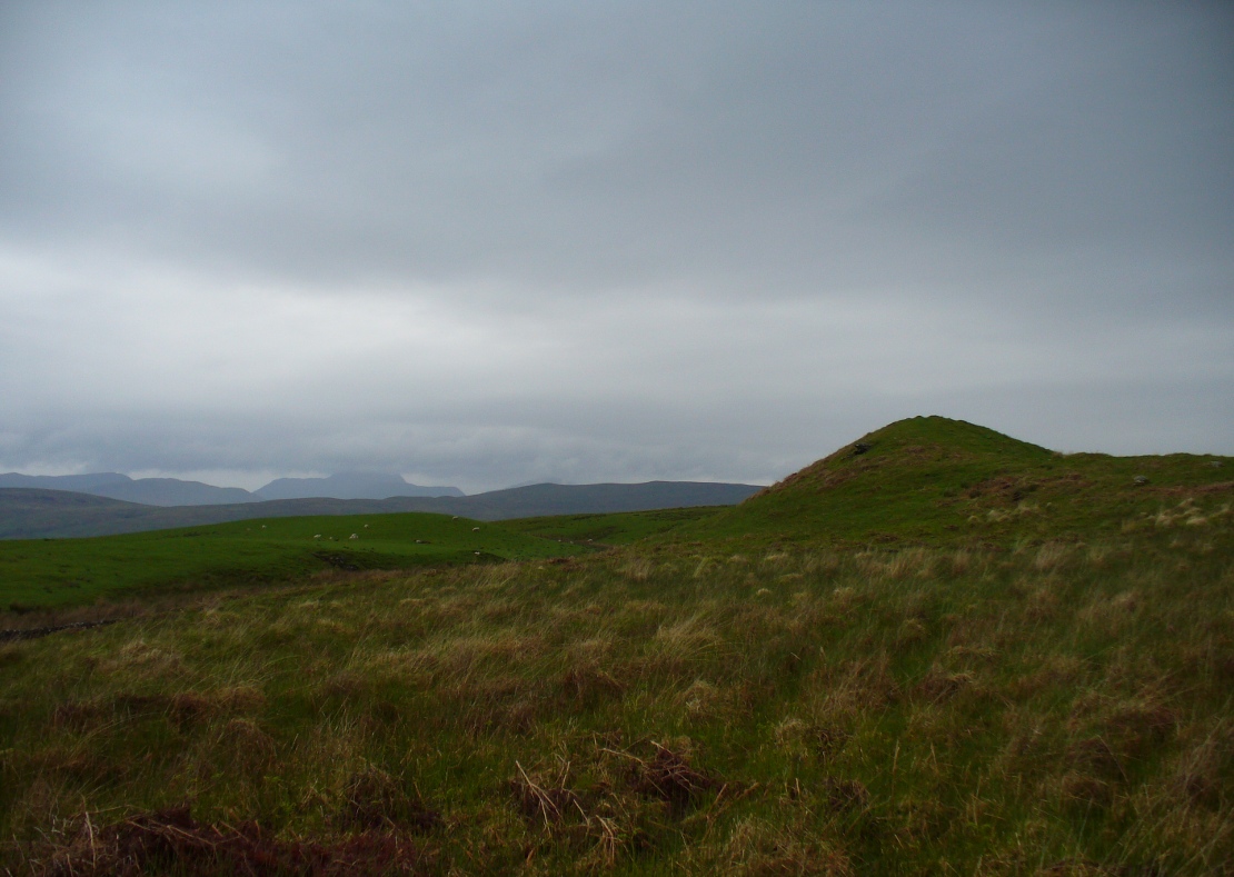
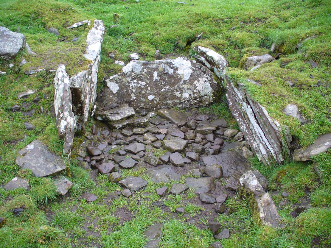
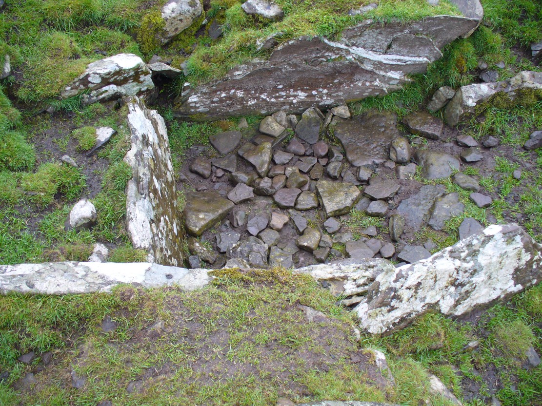
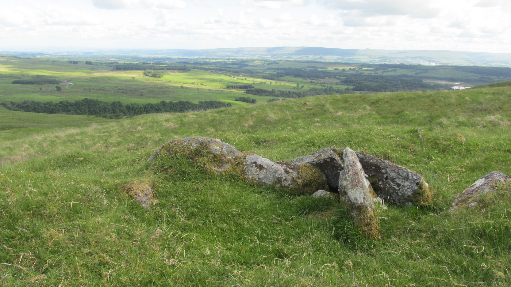
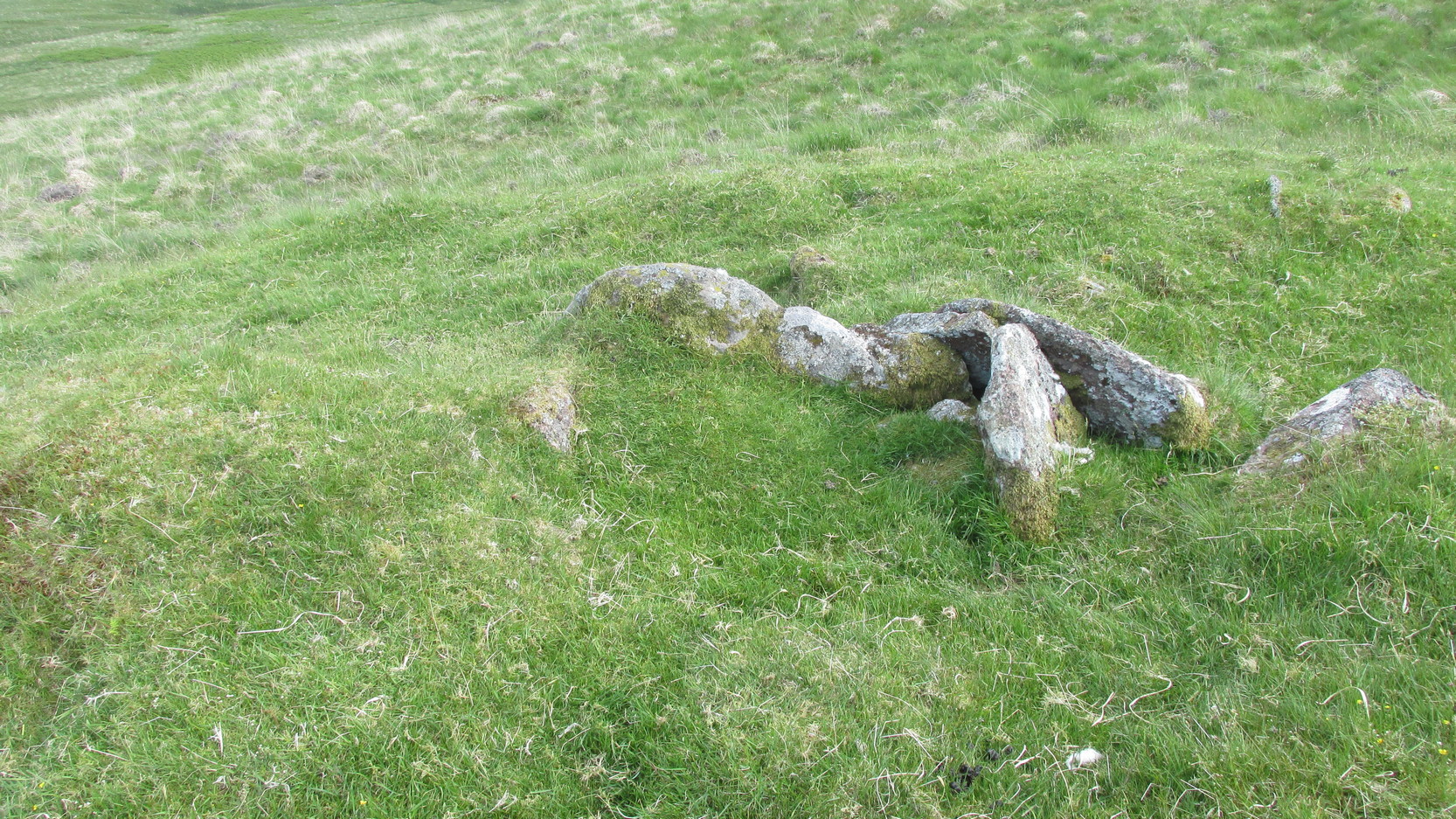
For a site marked as ‘Chambered Cairn’ on the OS-maps, you might be expecting a little bit more when you get here. Sadly, it’s not what it once was. Much of the covering stones from the cairn have been severely robbed and obviously used in the old and curiously-named ruin of Bothan na Plaighe below, and the large sheep-fold structures barely 50 yards to the north. All that’s really left to see here is the internal chamber, aligned roughly east-west, which seems to have originally been split into two sections. The remaining overgrown edges of the monument, barely two feet high at the most, measures roughly 8 yards by 9 yards, but is much denuded and can really only be noticed when you’re almost stood on top of it!
 The landscape reaching out from here takes the eyes way way into the distance along the fading horizon, from north-east to south-east. This expansive view, this reaching landscape, may have been an important element in the placement of the tomb – and it’s certainly something to behold on a good day. It might be a bit of a walk to get here, but if you want some good countryside, scenery and a bit of ancient history, this is one helluva good place to go!
References:
- Royal Commission Ancient & Historical Monuments of Scotland, Braes of Doune: An Archaeological Survey, RCAHMS: Edinburgh 1994.
Acknowledgements: Huge thanks for use of the Ordnance Survey map in this site profile, reproduced with the kind permission of the National Library of Scotland.
© Paul Bennett, The Northern Antiquarian