Netherfoodie Cottage, Dairsie, Fife

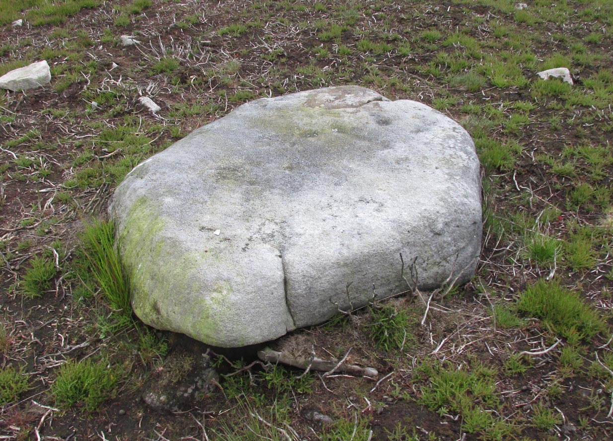
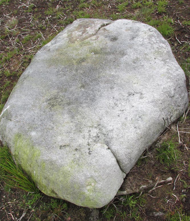
Standing Stones (destroyed):  OS Grid Reference — NO 4128 1769

Also Known as:

  1. Dairsie Stones

Archaeology & History 


View of the field where the stones stood (Paul Hornby)

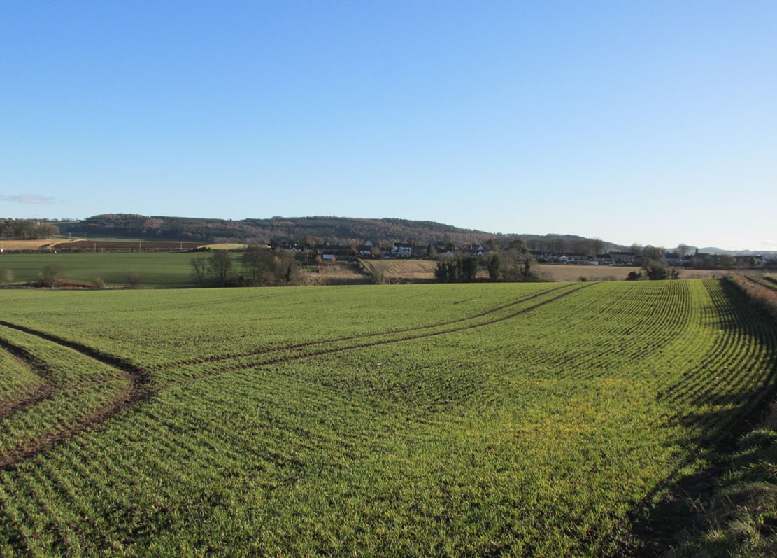
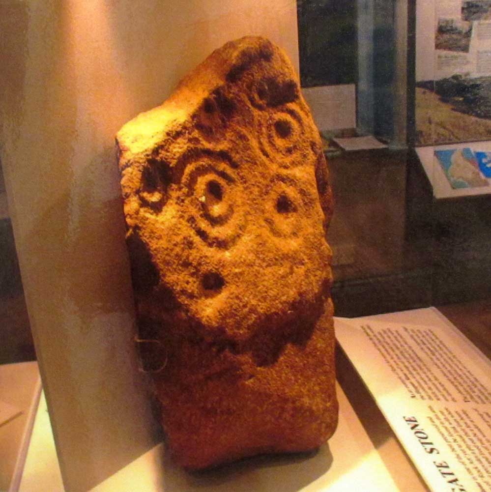
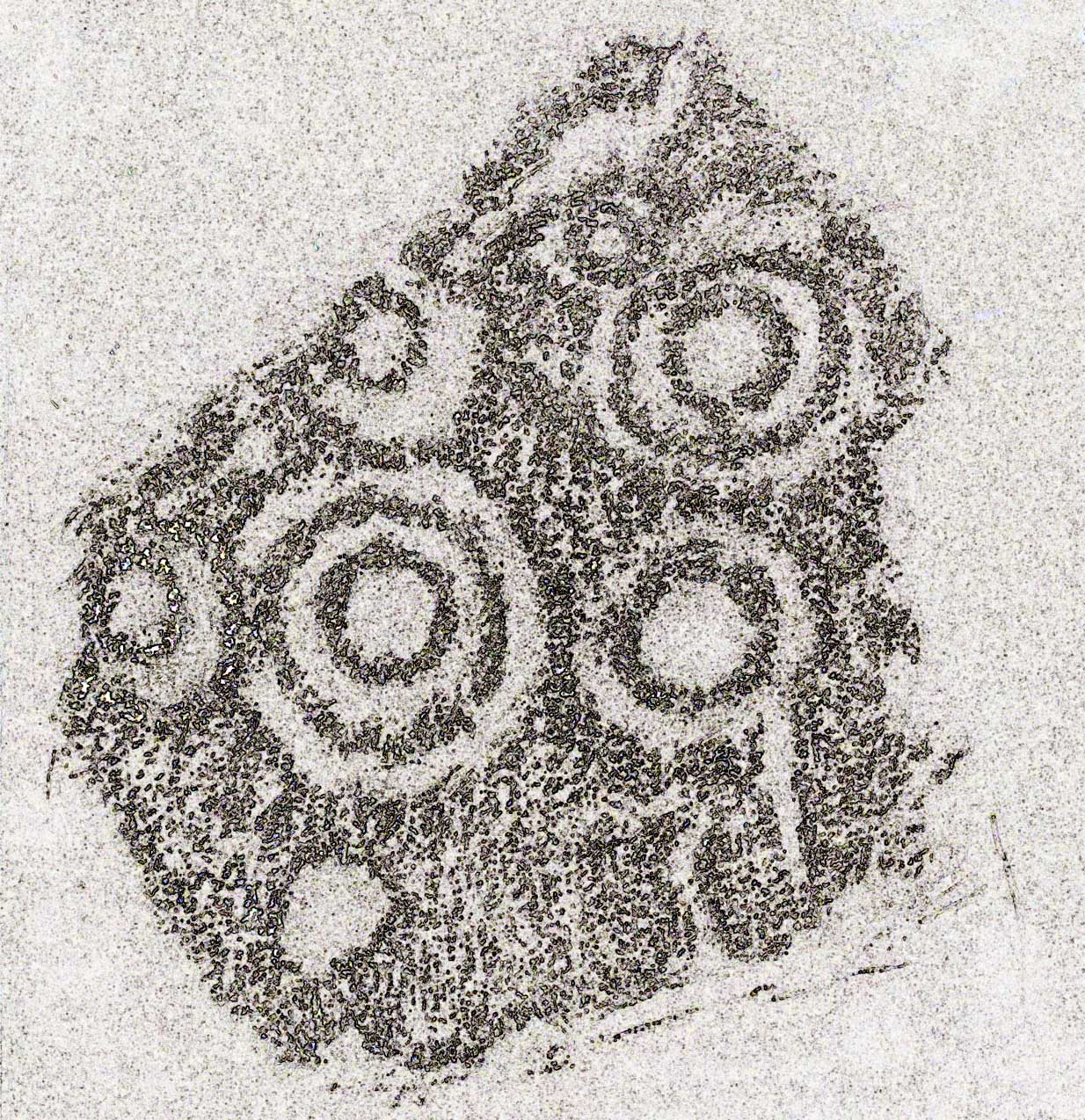
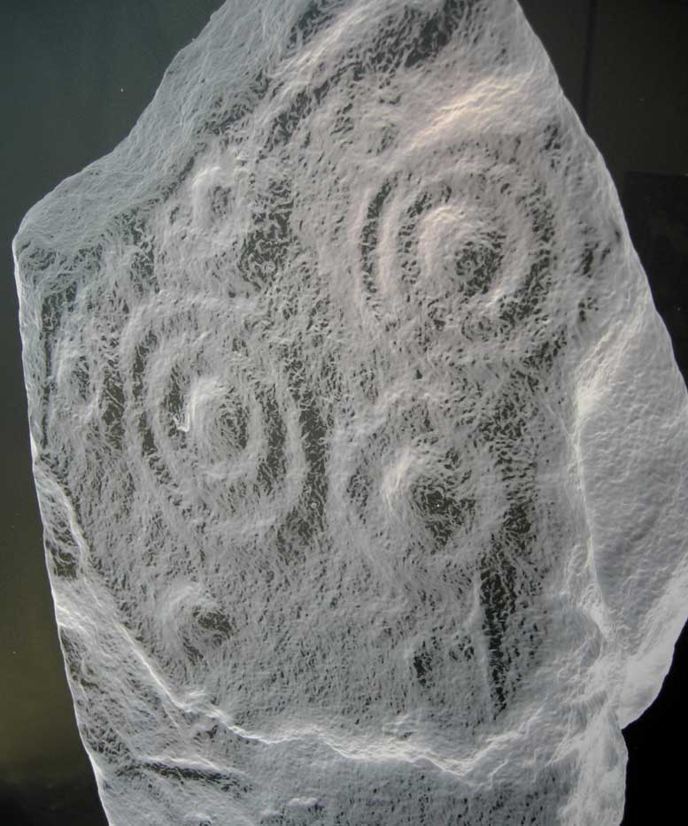
Recent archaeological investigations at the site which has become known as the Dairsie Hoard—where many pieces of broken Roman silverware were seemingly deposited in one spot, adjacent to a dried bog “which may arise from a former spring” of water—brought about the discovery of much earlier megalithic remains.  The position of two previously unrecorded standing stones were found during the archaeological dig here.  In the most recent edition of Current Archaeology, Fraser Hunter (2018) described the position of the Roman silverware close to some ancient pits or sockets in the ground. This “group of features was…intriguing”, he told,

“for two of them contained stumps of standing stones, one in association with probably Bronze Age pottery. This hoard had been buried in a memorable, perhaps even a sacred site, between an intriguing wet spot on one side and, on the other, two standing stones, which were already ancient by the time the silver was buried.  Such burial of valuables in association with prehistoric monuments can be readily paralleled elsewhere.  It suggests this silver was placed under the care of the gods, probably as a sacrifice rather than a burial for safekeeping.”

Two thousand years before the Roman silver deposit had been deposited, megaliths here stood.  Sadly they’re long gone, leaving more questions than answers as usual…

References:

  1. Hunter, Fraser, “Solving a Silver Jigsaw,” in Current Archaeology, 335, February 2018.

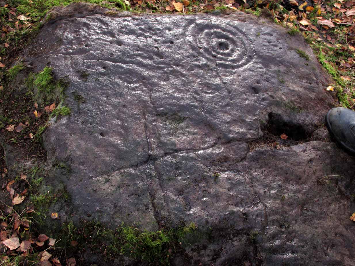
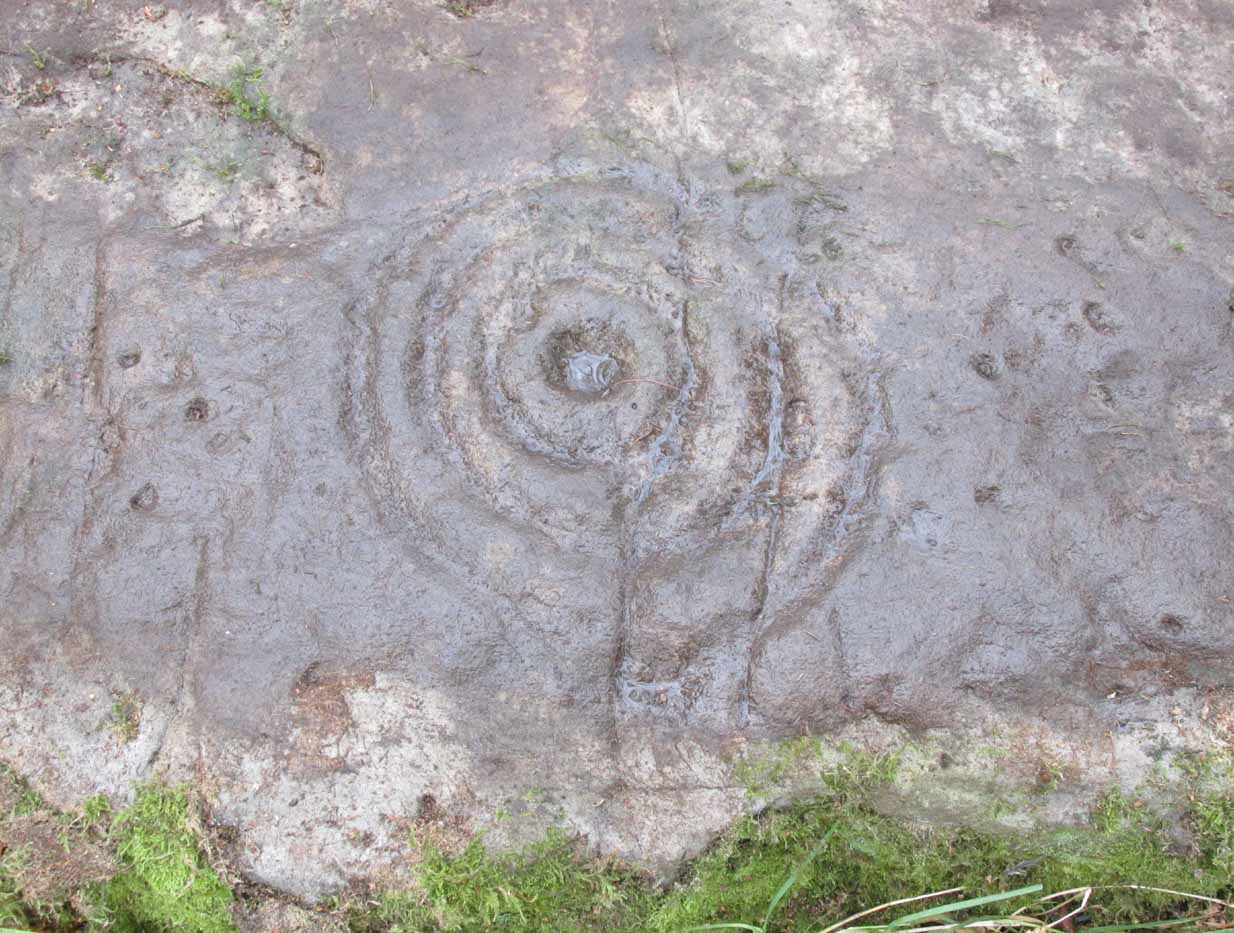
Acknowledgments:  Many thanks to Paul Hornby for use of his photo in this site profile.

© Paul Bennett, The Northern Antiquarian


Moonzie, Cupar, Fife

Cup-Marked Stone:  OS Grid Reference – NO 34 18

Archaeology & History

There are no previous literary references to this small portable cup-marked rock, relocated recently by Paul Hornby during one of his various antiquarian meanderings.  Found in association with a much later architectural structure, it position in the landscape (near the top of a hill) would suggest that is was most probably located in a prehistoric cairn in earlier days—all traces of which have vanished.  But we cannot be sure of this and I’m merely speculating.

Moonzie cup-marked stone

Site of carving

The thin, fairly flat stone is about 18 inches across, by a foot wide, and consists of what seems to be 10 cup-marks (no rings, sadly), of which six of them are the real deal.  No other carvings officially exist anywhere near it and its isolation is an enigma… such as it is with petroglyphs…

Due to the fact that the stone can literally be picked up and moved by anyone, we’re hoping that it can be seen by local archaeologists and perhaps placed into a museum for safe-keeping.

© Paul BennettThe Northern Antiquarian 


Tom-a-Clachan, Kirkmichael, Perthshire

Stone Circle (destroyed):  OS Grid Reference – NO 08129 60093

Archaeology & History

Kirkmichael village, 1867

Kirkmichael parish was an area that was described by George Chalmers (1887) as possessing “a vast body of Druid remains,” there being “a number of Druid cairns in the vicinity of Druidical circles.”  As we know, the term ‘druid’ has long fallen out of favour; and with it in this area, the sites themselves have taken a similar fate.

Found on the east side of the village, on raised ground known as the Priest’s Knowe up above the Priest’s Well, this stone circle is not listed in any of the archaeological textbooks, but its existence was thankfully recorded in one of the essays by regional historian Charles Fergusson.  He told us that,

“one of these Druidical circles stood at Tom-a-Chlachan — the Hillock of Stones — where the Manse of Kirkmichael now stands, and there two thousand years ago our rude ancestors worshipped, according to their faith, in their circle of stones; and there, as elsewhere, when the pioneers of Christianity came to the district, they found it expedient to place their new church where the old circle of stones had stood, so the first church of St Michael was reared where the old clachan stood, on what the natives already considered holy ground.”

The Priest’s Well can still be seen by the roadside.

References:

  1. Chalmers, George, Caledonia – volume 1, Alexander Gardner: Glasgow 1887.
  2. Fergusson, Charles, “Sketches of the Early History, Legends and Traditions of Strathardle and its Glens – part 5,” in Transactions of Gaelic Society Inverness, volume 21, 1899.

Acknowledgements:  Many thanks to ‘Geoffrey of Kirkmichael’ for help with amending the location of the site.  Thanks Geoff.  And big thanks for use of the 1st Edition OS-maps, reproduced with the kind permission of the National Library of Scotland.

© Paul BennettThe Northern Antiquarian


Kalemouth Carving, Eckford, Roxburghshire

Cup-and-Ring Stone:  OS Grid Reference – NT 714 275

Archaeology & History

Kalemouth carving (after R.W.B. Morris 1981)

Now housed in the National Museum of Antiquities in Edinburgh, this little-known petroglyph was rediscovered in 1957 by a Mr G.F. Ritchie, not far from the once-large Kalemouth neolithic tomb.  It’s a carving that seems to be quite isolated (no others are known about in the immediate area), comprising of an incomplete four-ringed design which, in all probability, is a stray rock that came out of a nearby prehistoric cairn—although we don’t know this for sure.

The carving was described in Ron Morris’ (1981) petroglyph survey, where he told us that,

“In the field “not far from the cairn” (just E of the farm), was a small convex gritstone boulder 25cm by 15cm by 15cm (¾ft  x ½ft x ½ft). On its fairly smooth surface is:

a cup-and-four-rings with 2 parallel grooves from the inner ring (which is incomplete) through the others (which are gapped)—the outer two being now incomplete also—a form of ‘keyhole pattern’.”

A near-identical carving on a similiar-shaped portable stone can be seen in Galashiels museum, whose history has seemingly been forgotten.

References:

  1. Morris, Ronald W.B., “The cup-and-ring marks and similar sculptures of Scotland: a survey of the southern Counties – part 2,” in Proceedings of the Society of Antiquaries, Scotland, volume 100, 1967.
  2. Morris, Ronald W.B., “The Cup-and-Ring and Similar Early Sculptures of Scotland; Part 2 – The Rest of Scotland except Kintyre,” in Transactions of the Ancient Monuments Society, volume 16, 1969.
  3. Morris, Ronald W.B., The Prehistoric Rock Art of Southern Scotland, BAR: Oxford 1981.

© Paul BennettThe Northern Antiquarian


Gawk Hall Stone, Middleton Moor, North Yorkshire

Cup-Marked Stone:  OS Grid Reference – SE 13004 53097

Getting Here

Gawk Hall Stone

Probably the easiest route to find this is via the Roman Road from Blubberhouses. Go up Cooper Lane a few hundred yards, turning right (west) on the footpath past the Manor House and onto the moor. Walk along the footpath until you hit the dead straight Roman Road and walk 1⅓ miles (past the cup-marked Eagle Stone) until you meet another footpath on your right veering over the haunted Sug Marsh away from the straight road. This takes you to Gawk Hill Gate ½-mile away. Go over the wall here and walk for 350 yards where several stones are just yards to the left of the path. You’re there!

Archaeology & History

…and again!

Depending on the age of the old path by which this carving lies, it may have represented a marker of the ancient route.  It lives in relative isolation from other petroglyphs a mile or so further down the moorland slopes and is probably one only for the purists amongst you.  A smoothed (female) medium-sized rock, about 2 yards by 1 yard across, possesses at least two simple cup-marks on its upper western surface. A third cup seems evident between the main two cups, with a carved line running some 10 inches towards the eastern side of the stone.  What may be several other cup-marks can be seen on the stone, but the day was overcast when we came here and so we’re unsure as to whether they’re natural or man-made.

Acknowledgements:  Many thanks to James Elkington and his little compatriot Mackenzie, who accompanied us to this and other sites nearby.

© Paul BennettThe Northern Antiquarian


Heygate Stone, Baildon, West Yorkshire

Cup-and-Ring Stone:  OS Grid Reference – SE 15942 40187

Archaeology & History

Heygate Stone

This excellent cup-and-ring marked petroglyph was found fortuitously in September 2001 by the land-owner at Near Hey Gate field to the northeast of Baildon village.  He was clearing out remains of some old walling in the field and, adjacent, a rock that was protruding out of the ground got turned over.  Underneath it he noticed a series of very well-preserved cups and rings in a cluster near one part of the rock.  It was a bittova beauty to be honest!

Thankfully due to the subsequent efforts of local rock art students Mike Short and Keith Boughey, it was later re-housed in the Brackenhall Centre at the edge of Shipley Glen.

Enhanced rendition of Boughey’s Heygate Stone rubbing
Computer-enhanced image of the carving

The stone itself was once larger than it now is and may have had additional carved elements on it, but the other portion that had broken off wasn’t located when it was first dug out of the ground.  This may mean that it was moved here from another location, which would have been somewhere close by.  Many other petroglyphs exist in and around the Baildon district.As we can see in the images here, two very well-defined double cup-and rings have clusters of smaller singular cup-and-rings around their edges.  A single cup-mark was etched below the largest of the double-ring carving, and what seems like a carved straight line emerges from the largest of the single cup-and-ring.

References:

  1. Griffiths, Kathie, “Historic Stone Back Home on Moors,” in Telegraph & Argus, 11 November, 2006.
  2. Short, Mike, “The Heygate Stone,” on Megalithic Portal, 21 November, 2006.

Acknowledgements:  Big thanks to Mike Short for his info and to Keith Boughey whose rubbing I’ve touched-up and used in the site profile.

© Paul BennettThe Northern Antiquarian


Lower Headley Farm, Thornton, Bradford, West Yorkshire

Tumulus (destroyed):  OS Grid Reference – SE 099 321

Archaeology & History

Headley Farm urn

There are no longer any remains of the prehistoric burial site that once stood in one of the fields by Lower Headley Farm.  We don’t know whether the site was a cairn, a tumulus, or just a stone-lined cist; but in all probability it would have been a low rounded hillock whose existence had long since fallen out of oral tradition.  All that we do know is that in one of the fields by the farm, some very well preserved urns—either neolithic or Bronze Age by the look of it—were unearthed, indicating a site of prehistoric provenance.

The finds were described only briefly in the first edition of the Bradford Antiquary (1888) journal, where it was reported:

“During the spring of 1880 an interesting discovery was made by Mr. Abraham Craven, quarryman, of Thornton.  The ‘find’ comprised three funeral urns, which Mr. Craven turned up while baring a portion of a field in Lower Headley Farm, the property of the trustees of Sowerby Grammar School.  The discovery was made within a short distance of the surface, the pottery presenting undoubted indications of pre-Roman origin.  From evidence collected upon the spot, and the appearance of the pottery, two of the urns were about 14in in height, 9in across the top, 11½in at the widest portion of the bowl, and 6in at the foot.  One of the urns was of sun-burnt clay, with rude markings, the other having evidently been subjected to fire.  No coins, personal ornaments, or other indications of civilisation, were found in the urns, but each one contained human dust and bones.  From the fact that several other urns have been met with in the immediate vicinity, equally rude in type, evidence is not wanting that the picturesque mound upon which Headley is situate was inhabited at a very early period of British history.”

References:

  1. Anonymous, “Valuable ‘Find’ at Headley, near Thornton,” in Bradford Antiquary, volume 1, 1888.

© Paul BennettThe Northern Antiquarian


Bedford Hill, Tooting, Surrey

Tumulus (destroyed):  OS Grid Reference – TQ 288 726

Archaeology & History

This long lost prehistoric tomb is one of many that has fallen under the destructive hammer of the christian Industrialists in this part of the country.  Located somewhere in the parkland grounds of Bedfordhill House (also destroyed), its memory was thankfully preserved by the renowned folklorist and historian Walter Johnson (1903) who wrote of it in his work on prehistoric Surrey, where he told:

“A few years ago a supposed barrow was levelled in Bedford Park, Bedford Hill, Tooting, and no record taken of the results. The mound was enclosed in the Park for several  centuries, but when the grounds were laid out for building purposes ten or a dozen years since, it suffered rough usage, and was finally destroyed. It was nearly 100 yards long, and about 20 feet in breadth in its highest part.  It ran East and West, and had several trees growing on it before its desecration….  A moat had been made round the mound for about two-thirds of its circuit.  This moat was supplied with water by the Ritherdon, a small stream rising in Streatham.  The name is preserved in the adjacent Ritherdon Road.  The material of the mound was gravel and gravelly loam, which, in the neighbourhood, occurred only in a thin layer, thus forbidding the conclusion that the structure was merely composed of the soil dug out in making the moat. The excavated material would largely be London Clay.  As the genuineness of this barrow was, we believe, called in question after its demolition, when the subject was beyond reconsideration, we mention two shreds of collateral evidence. The ground on which the tumulus stood was about the highest in the district. The name Tooting may also have some bearing, for Mr. Clinch thinks that it was a Celtic settlement where was worshipped the deity known as Taith. (Compare also toot-hill, as exemplified in Tot Hill, Headley, Tothill Fields, Westminster, famous for fairs and tournaments, also Tutt Hill, near Thetford.)”

The ‘toot’ in Toothill however, is ascribed by Gover, Mawer & Stenton (1934) as being the usual “look-out hill”.  Although they do make note of the fact “that there is no hill in Tooting which would make a good look-out place.”  But if this was a large barrow of some type, it would explain the etymological oddity.  Any further information on this site would be welcome.

References:

  1. Gover, J.E.B., Mawer, A. & Stenton, F.M., The Place-Names of Surrey, Cambridge Univserity Press 1934.
  2. Johnson, Walter, Neolithic Man in North-East Surrey, Elliot Stock: London 1903.
  3. Smith, A.H., English Place-Name Elements – volume 2, Cambridge University Press 1954.

© Paul BennettThe Northern Antiquarian


Tumble Beacon, Banstead, Surrey

Tumulus:  OS Grid Reference – TQ 2432 5902

Archaeology & History

Tumble Beacon in 1911

This ancient “bowl barrow” as the modern archaeo’s are wont to describe it, is a Bronze Age tumulus that has seen better days.  But at least it’s still there – albeit slightly damaged and enclosed by modern housing, in the back of someone’s garden.  I expect that if you were to ask the owners, it would be OK to see this 4000 year old burial mound (in Scotland at least, we always find people very amiable when it comes to asking such things).  It’s quite a big thing too, so you can’t really miss it!  Standing more than 12 feet high, it rises like an archetypal fairy mound—now out of place—measuring some 38 yards east-west and roughly 44 yards north-south.

Highlighted on the early OS-map of the region, the name of the site indicates its multi-period usage, with the ‘beacon’ element derived  from when, in 1594, a fire was lit upon it to tell of the arrival of the Spanish Armada.  Whether it had been used as a beacon prior to that, I can find no historical accounts.  One of the early archaeological descriptions came from the pen of the old historian and folklorist, Walter Johnson (1903), who told us simply:

Tumble Beacon on 1871 map
Walter Johnson’s 1903 sketch

“About a mile South-west of Banstead Church, in a field close by Tumble Farm, on the outskirts of Nork Park, is an eminence marked on the map as Tumble Beacon.  A picturesque clump of pines stands on the mound, which, from its general character, and from the flint scraps we have found there, we have every reason to believe is a round barrow, despite the local tradition that it is a ‘sea-mark.’  The Scotch pines, in such positions as we find here, may probably, Mr. Grant Allen thought, be the descendants of trees put in by human hands when the barrow was first raised.”

Whilst this latter idea might be very hard to prove, the assertion that it’s prehistoric certainly gained favour as more antiquarians examined the site.  Johnson later told that when examining this and other sites nearby (sadly destroyed) he came across a variety of prehistoric stone utensils in the area.

References:

  1. Gover, J.E.B., Mawer, A. & Stenton, F.M., The Place-Names of Surrey, Cambridge Univserity Press 1934.
  2. Grinsell, Leslie V., The Ancient Burial Mounds of England, Methuen: London 1936.
  3. Johnson, Walter, Neolithic Man in North-East Surrey, Elliot Stock: London 1903.
  4. Lambert, H.C.M., History of Banstead in Surrey, Oxford University Press 1912.

© Paul BennettThe Northern Antiquarian


Castleton (2), Cowie, Stirling, Stirlingshire

Cup-and-Ring Stone:  OS Grid Reference – NS 85494 88272

Also Known as:

  1. Castleton 9 (van Hoek)

Getting Here

Castleton 2 carving, Airth

If you’re travelling from Stirling or Bannockburn, take the B9124 east to Cowie (and past it) for 3¾ miles (6km), turning left at the small crossroads; or if you’re coming from Airth, the same B9124 road west for just about 3 miles, turning right at the same minor crossroads up the long straight road. Drive to the dead-end of the road and park up, then walk back up the road 350 yards to the small copse of trees on your left.  Therein, some 50 yards or so, zigzag about!

Archaeology & History

Petroglyphs can be troublesome things at the best of time: not only in their ever-elusive root meanings, but even their appearance is troublesome!  This example to the east of Cowie in the incredible Castleton complex is one such case.  It is undoubtedly a multi-period carving, probably first started in the neolithic period, added onto in the Bronze Age, and maybe even finished in the early christian period.  You’ll see why!

It’s been described several times in the past, with Maarten van Hoek (1996) telling how it was rediscovered,

“by Mrs Margaret Morris in 1986 in the birch-coppice at Castleton Wood. A fragment of outcrop rock with a distinct cup-and-three-rings, rather oval-shaped like others in the area.”

The main cup-and-3-rings (photo, Paul Hornby)

But as our own team found out, there’s more to it than that.  Like many of the Castleton carvings, vital elements have been missed in the previous archaeological assessments.  But it’s an easy thing to do.  The carved design here almost ebbs and flows with daylight, shadows, changes in weather, bringing out what aboriginal and traditional peoples have always told us about rock itself, i.e., it’s alive, with qualities and virtues that can and do befuddle even that great domain of ‘objectivity’—itself an emergent construct of an entirely subjective creature (humans).  But that’s what petroglyphs do!—whether they are part of a living tradition, or lost in our striving modernity, exhibiting once more that implicit terrain of animism.  And this carving exemplifies it very clearly.

The primary visual design is the odd triple-ring, which isn’t quite as clear-cut as the earlier descriptions would have you think.  In the drawing below by van Hoek (1996), three complete elliptical ‘rings’ are shown; whereas on its northern edge where the outer ring is closest to the rock edge, we find that the ‘ring’ has carved lines that run off and down the slope of the stone towards ground-level.  It also seems that from the inner second-ring, a natural scar in the rock has been heightened by pecking, creating an artificial carved line running from near the centre and ‘out’ of the three rings.  You can make this out in the accompanying photo, above.

van Hoek’s 1996 sketch
The more complete design

Additionally we found two very faint carved ‘eyes’ or trapezoids pecked onto the stone, obviously at a much earlier date than the notable triple-ring—which could almost be modern!  They would no doubt have excited the old archaeologist O.G.S. Crawford (1957), whose curious theory of petroglyphs was that they were images of some sort of Eye Goddess.  Archaeo’s can come out with some strange ideas sometimes…

Fainter still was another triple-ring—albeit incomplete—with what appears to be a very small central cup-mark, just below and between the two ‘eyes’.  It was first noticed by Paul Hornby when he was playing with the contrast settings on his camera, in the hope of getting clearer photos of any missing elements.

Very faint triple-ring, bottom-left of photo (photo by Paul Hornby)

“Can you see this?” he asked.  And although very faint indeed (on most days you can’t see it at all), it’s undoubtedly there: another multiple-ringer all but lost by the erosion of countless centuries, and older still than the ‘eyes’ above it.  In all the photos we took of this stone, from different angles in different weathers (about 100 in all), this very faint triple-ring can only be seen on a handful of images.  But it’s definitely there and you can see it faintly in the attached image (right) to the bottom-left.

A final note has to be made of a possible unfinished, large circular section with a cross carved into the natural feature of the stone, first noticed by Lisa Samson.  It’s uncertain whether this has been touched by human hands (are there any geologists reading?), but it’s something that we’re noticing increasingly at more and more petroglyph sites.  They’re not common, but it has to be said that we found two more man-made ‘crosses’ attached to multiple cup-and-rings near Killin just a few weeks ago.  Also, folklore tells us that not far from this Castleton cluster, a christian hermit once lived….

References:

  1. Crawford, O.G.S., The Eye Goddess, Phoenix House: London 1957.
  2. Morris, Ronald W.B., The Prehistoric Rock Art of Southern Scotland, BAR: Oxford 1981.
  3. van Hoek, M.A.M.,”Prehistoric Rock Art around Castleton Farm, Airth,” in Forth Naturalist & Historian, volume 19, 1996.

Acknowledgements:  Huge thanks as always to Nina Harris, Fraser & Lisa Harrick, Paul Hornby, Penny & Thea Sinclair, for their additional senses and input.

© Paul BennettThe Northern Antiquarian