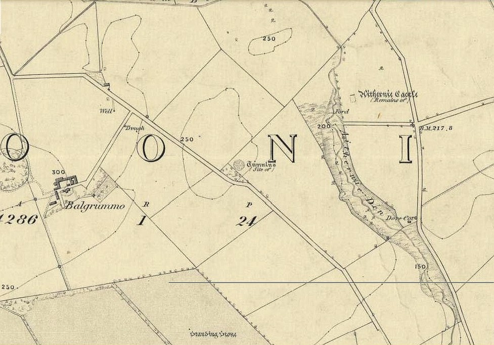
 Tumuli (destroyed): OS Grid-Reference – TQ 618 850
Also Known as:
Archaeology & History

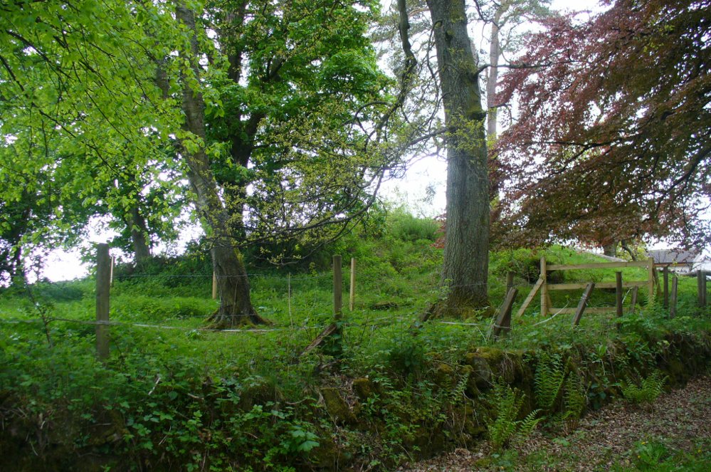
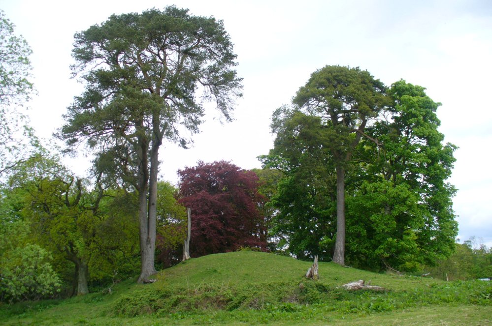
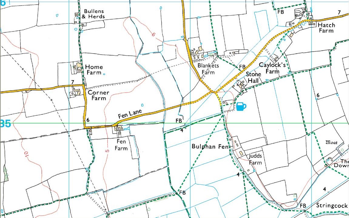
As with many prehistoric sites, this too was unearthed and seemingly destroyed in the 19th century. Although it seems that nothing now remains of the place, the english archaeological fraternity have the site listed as a “Romano-British site”, which seems reasonable; although the lay-out of the barrows or tumuli described and portrayed in the sketch here give a more traditional Bronze Age look. But we may never know for sure. Thankfully a fellow antiquarian called Walter Field (1863) was on hand to make a record of the place before its final destruction. In a short paper he wrote for the Essex Archaeological Society, he told that:
“In the Spring of 1858, a number of labourers were employed in trenching some fields belonging to Holme Farm, forming part of a large tract of land called Bulphan Fen, and situated about a mile-and-a-half west of the village of North Ockenden. In the course of their operations they found a number of beds of dark soil, in which were a large quantity of bones, supposed at first to be human, together with fragments of pottery and pieces of charcoal. It was the general belief among the workmen that the field had been the scene of some great battle, a belief supported by some local traditions. One thing seems certain, that it is the site of a Roman or early British Burial Ground, extending over a space of about sixteen acres; but whether it marks the battlefield of one of those many great struggles which took place in this county between the Britons and Romans, or whether it denotes the peaceful cemetery of a Roman Station, it is perhaps not very easy to determine.
“The little evidence, however, which the plough and the harrow have left remaining, seems in favour of the latter. The regular and almost equidistant arrangement of the lines of dark soil in many parts, and the many fragments of cinerary urns found in nearly all of them, seem to indicate rather the orderly interment of a cemetery, than the more hasty burial of a battle-field; but this is by no means conclusive.
“The graves are at once discernible from the surrounding soil, the natural soil being a yellow clay, whilst the earth of the graves is nearly black. It is impossible, with any accuracy, to trace the exact forms of the graves, some appear to be circular, and to vary in size from 10 to 40 feet in circumference, others appear to be of an oblong form; one grave is much larger than the rest, and is of about 60 feet in length and 20 in width. There are doubtless more of these graves in the bordering fields. It is worthy of note that a neighbouring meadow is called the Church Field, and a portion of the land on which these discoveries were made is still called Ruin Field. Both these names, probably, have reference to the formerly uneven sur&ce of the ground, caused by a great number of burial mounds. The fragments of Pottery vary much in their character, some being of the very rudest workmanship, whilst others have been more carefully manufactured; and a few small pieces of Samian Ware were found; mingled with them, were the bones of different animals — the horse, the deer, the boar, etc., but no human bones; much of the earth, stones, and pieces of wood bear evident marks of the action of fire; beyond these there was nothing found, except a portion of a flint arrow-head and a part of a hand mill stone. Not a single coin or piece of metal was discovered. The circumstances that all the fragments of pottery, and nearly all the bones of animals, are broken up into small pieces lying equally at the bottom as at the top of the dark soil, and that the graves are about three feet deep, narrow at the bottom and widening to the surface, lead me to think that the present graves are only the trenches of the original barrows, but that the field has been gradually levelled for agricultural purposes, and that the plough and the spade have in process of time filled up the original trenches with the soil, urns, bones, &c., of the burial mound.”
References:
- Field, Walter, “Discovery of British and Roman Remains at North Ockenden and White Notley,” in Transactions of the Essex Archaeological Society, volume 2, 1863.
This site entry is dedicated to Sarah Hunt, once of North Ockendon, wherever she may be…
© Paul Bennett, The Northern Antiquarian