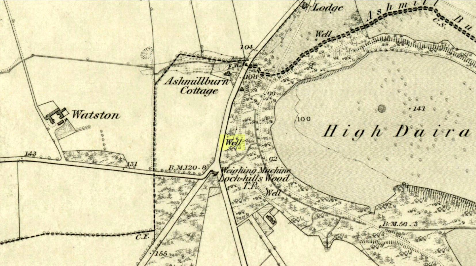
Healing Well: OS Grid Reference – NN 7196 0080
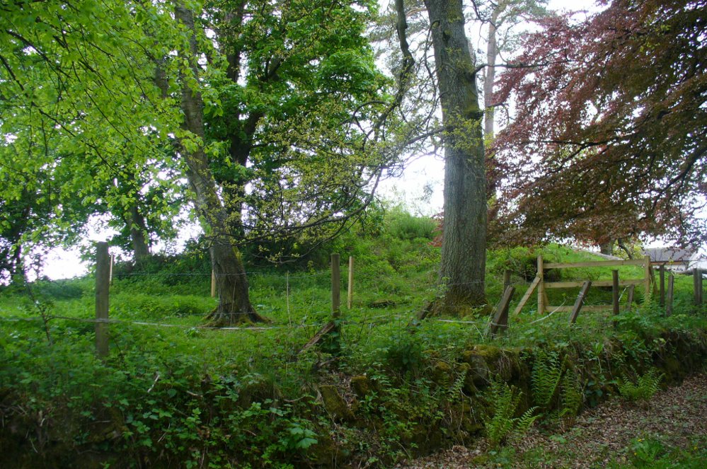
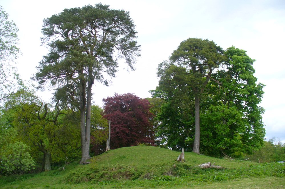
This takes some finding! From the village of Doune take the A84 road towards Stirling and, just over the bridge barely 100 yards along, on your left, walk down the track past the old lodge house. 350 yards along, up the slope on your right where young trees and an excess of boscage prevails, walk up through it until, about 10 yards below an overgrown path at the top, beneath a raised section of old stonework, an old pipe protrudes from the undergrowth. The small spring of water that emerges 10 yards beneath this, amidst the brambles and reeds, is what you’re looking for.
Archaeology & History
Wells named ‘Ellen’ usually have a long and sacred history behind them, but this one seems unusually silent. Apart from being shown on the 1866 OS-map—simply as a ‘Well’—it is only mentioned briefly in Mr Mackay’s (1953) survey of Doune, being not far from the Clans Well, and in his day it was “still in use.” But not anymore! The water is barely running, but the trickle that still exists is nice and clear and it tastes good. It’s seen much better days though….
‘Ellen’s Wells’ tend to have one of three origins, being either 1) dedicated to St Helen, whose festival date is August 18; (2) named after or dedicated to the Elder tree (Sambucus niger); or, (3) named after a local person of this name. At some wells it may be two of these elements with their relative mythologies complimenting each other, overlapping between heathen peasant lore and early christian folklore. This has been the case at a number of St Helen’s Wells I’ve surveyed in Yorkshire and Lancashire. At this site however, there are no remaining Elder trees, meaning that its name relates to one of the two other options; but without any extant historical references to St. Helen hereby, we must conclude that at some point in the dim and distant past, a local lady called Ellen found her name immortalized in this all-but-forgotten sweet spring.
References:
- Mackay, Moray S., Doune Historical Notes, privately printed: Doune 1953.
Acknowledgements: The map accompanying this site profile is Reproduced with the kind permission of the National Library of Scotland.
© Paul Bennett, The Northern Antiquarian