This is one of two sites in the county of Kinross-shire that were known as the ‘Fairy Knowe’, both of which have been destroyed through uncaring agriculture practices. Very little is known about it. The place was described in a lengthy footnote in the Old Statistical Account of Scotland (volume 6), which told us that,
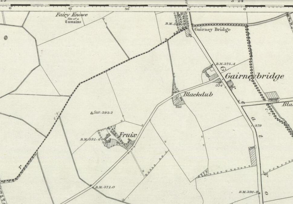
Site shown on 1856 OS-map
“a tumulus or mound, composed mostly of earth, with some stones intermixed, on the east of Annofreuch, was opened a few years ago and a coffin found therein formed of rough flat stones, set on edge at the sides and ends, and a large one above; within which were some bones and many pieces of burnt wood interspersed. In the memory of some old people, it was called the Elf-hillock, but is now known by the name of the Fairyknow.”
The site was listed in the Royal Commission (1933) archaeological county survey, but with no further details.
Folklore
Although the site was a resort of the little people, or faerie-folk, we have no extant tales telling us anything more.
References:
Royal Commission on the Ancient & Historical Monuments, Scotland, Inventory of Monuments and Constructions in the Counties of Fife, Kinross and Clackmannan, HMSO: Edinburgh 1933.