Cup-Marked Stone: OS Grid Reference – SE 15002 43155
Getting Here
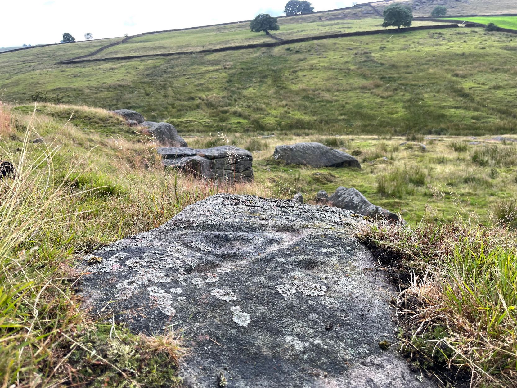
Numerous ways to get here: probably the easiest (direction wise) is if you’re coming from Dick Hudson’s public house on the southern road surrounding Rombalds Moor. From the pub, head left (east) along Otley Road (passing Weecher reservoir) for 1.9 miles (3.1km) until you reach Reva reservoir where a track leads you to the waters. A small parking spot is on the left-side of the road. From here, go through the gate and along the footpath across the field for nearly 300 yards to the next gate. Go through here and immediately follow the walling down to your left for about 135 yards to the edge of the rushes. It’s there!
Archaeology & History
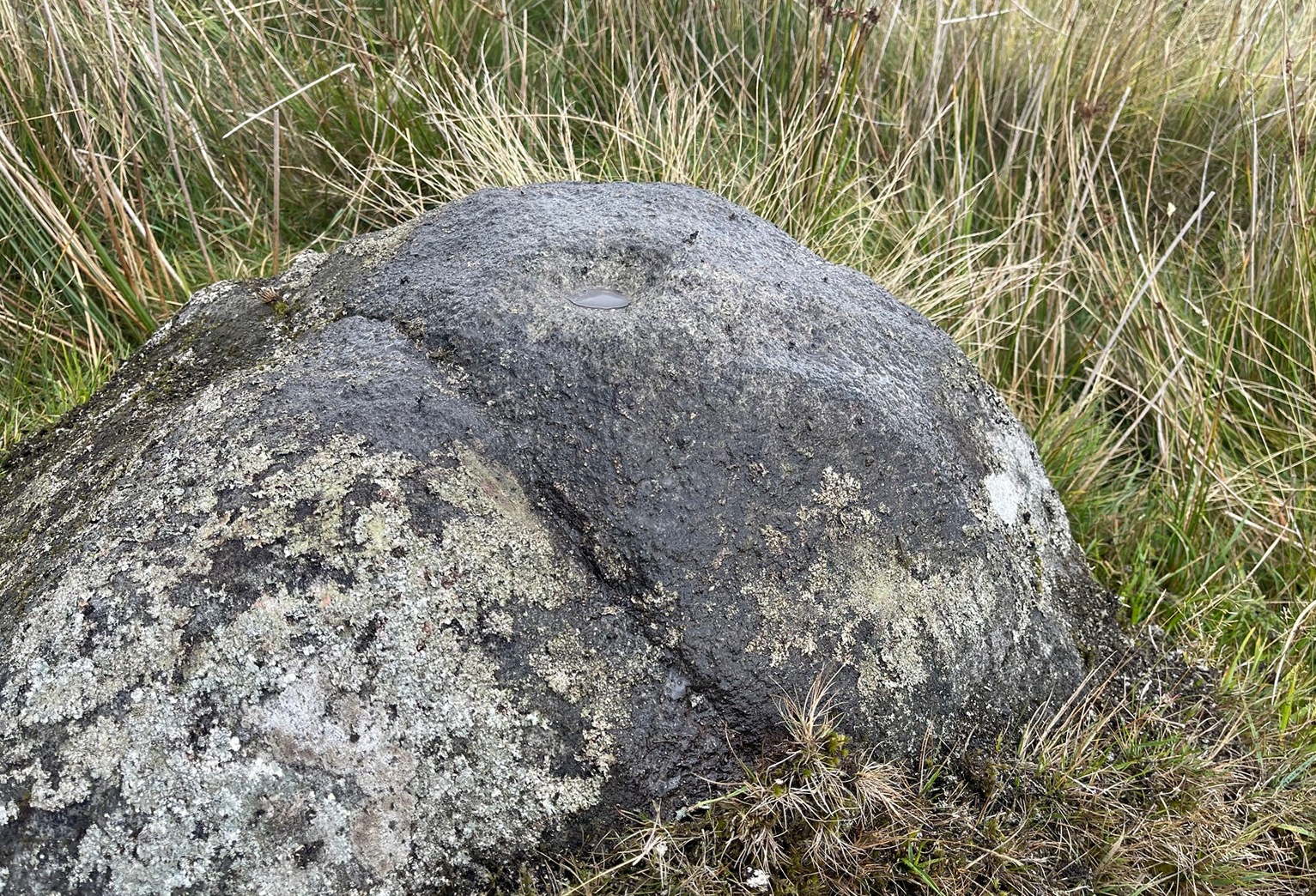
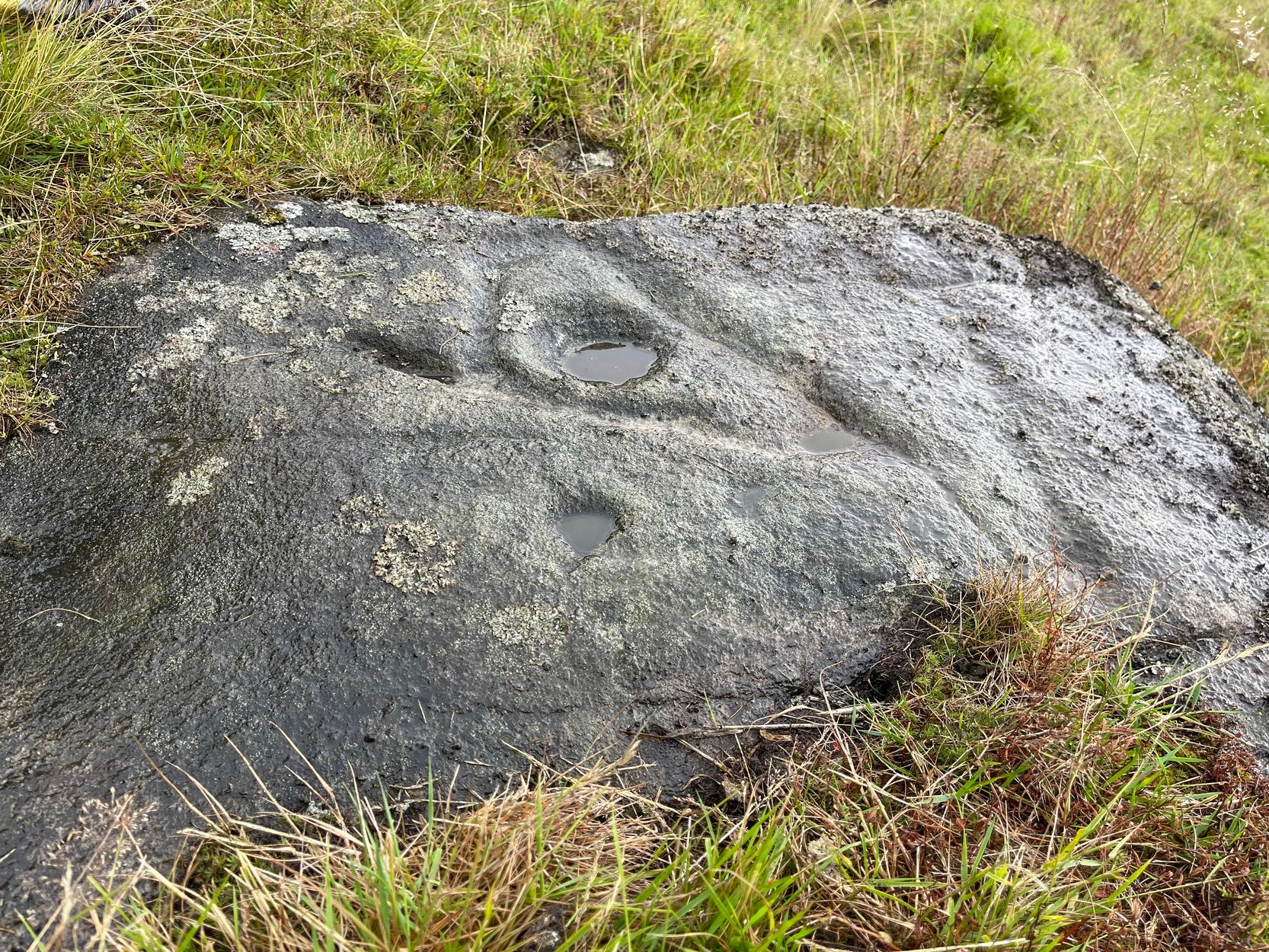
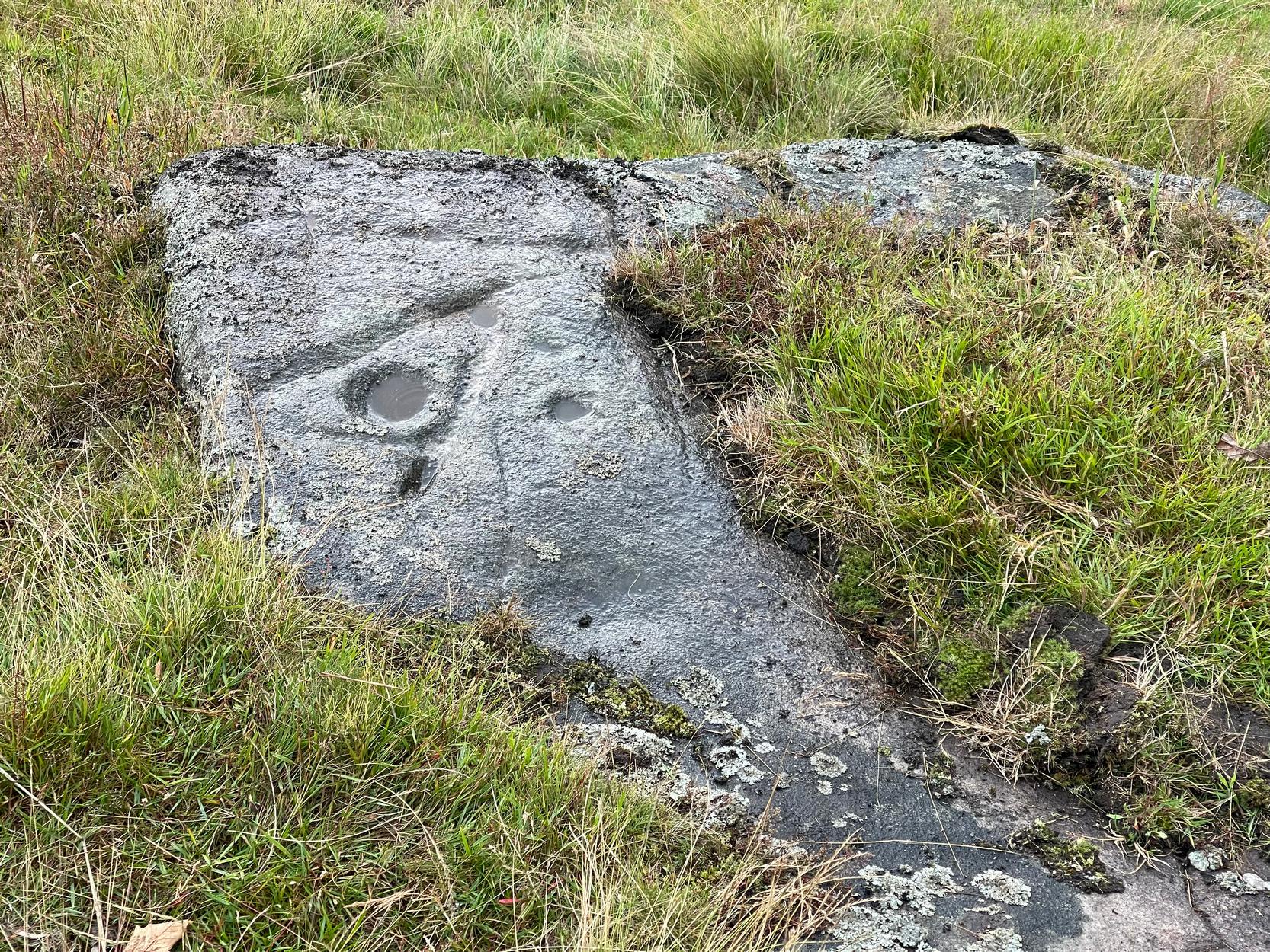
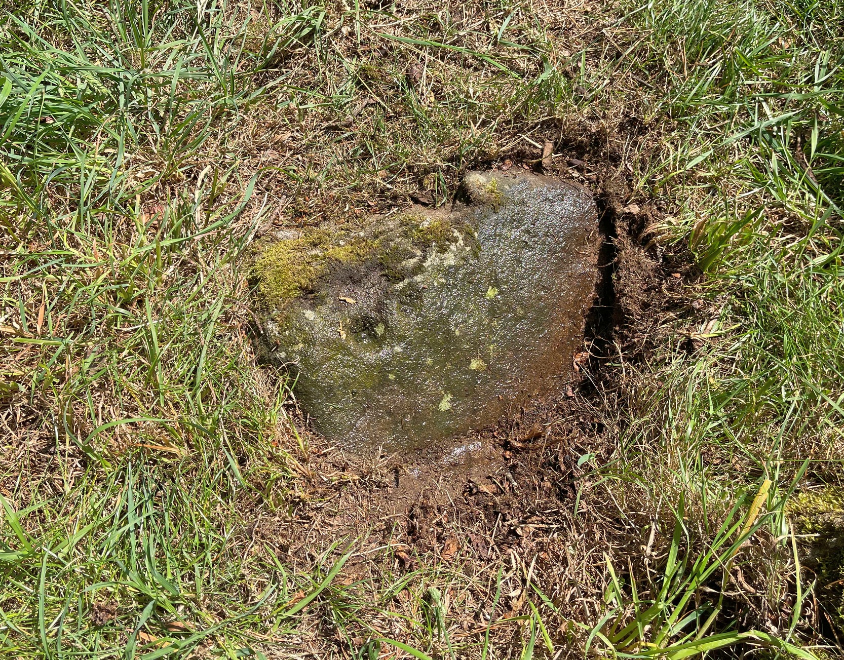
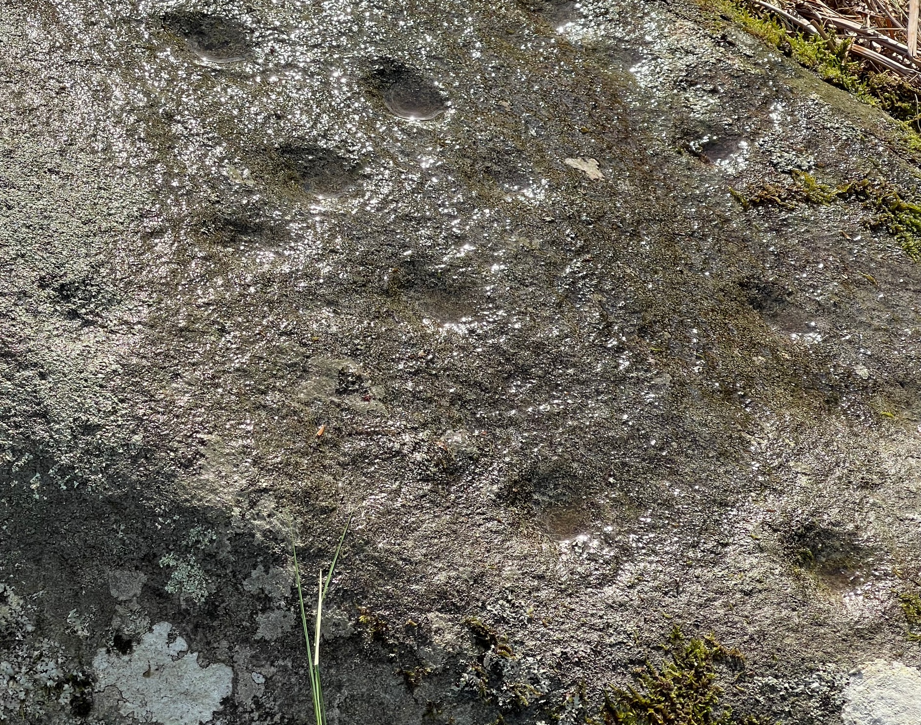
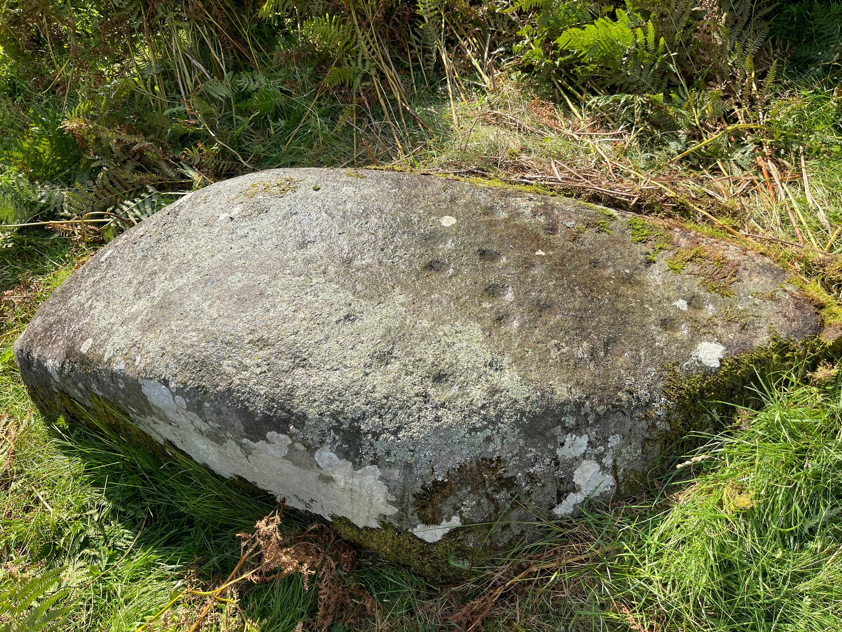
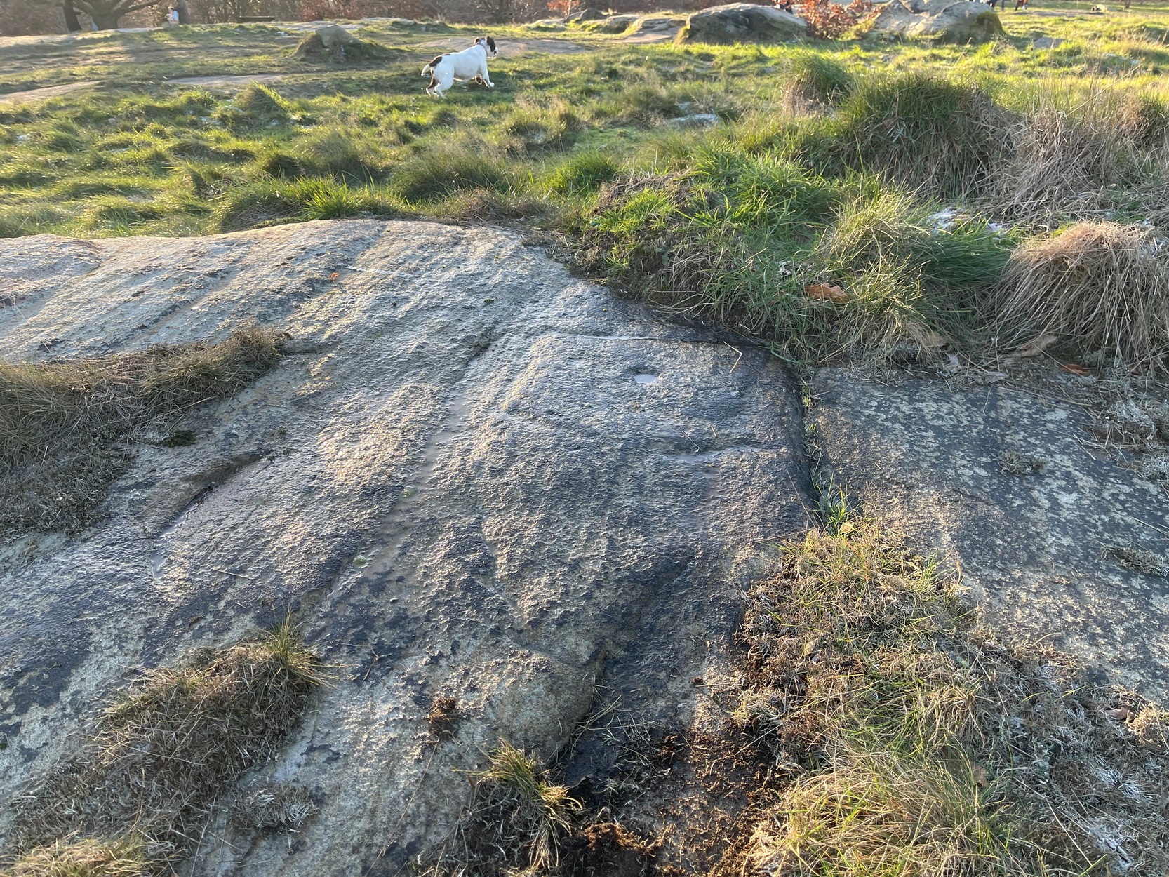
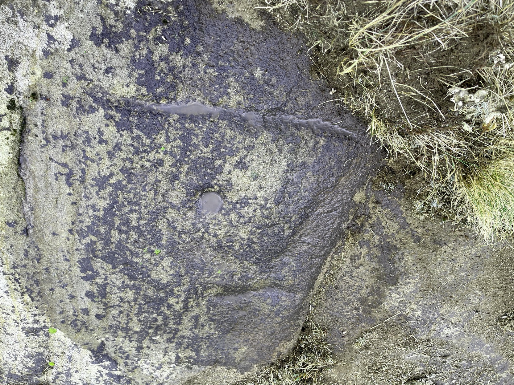
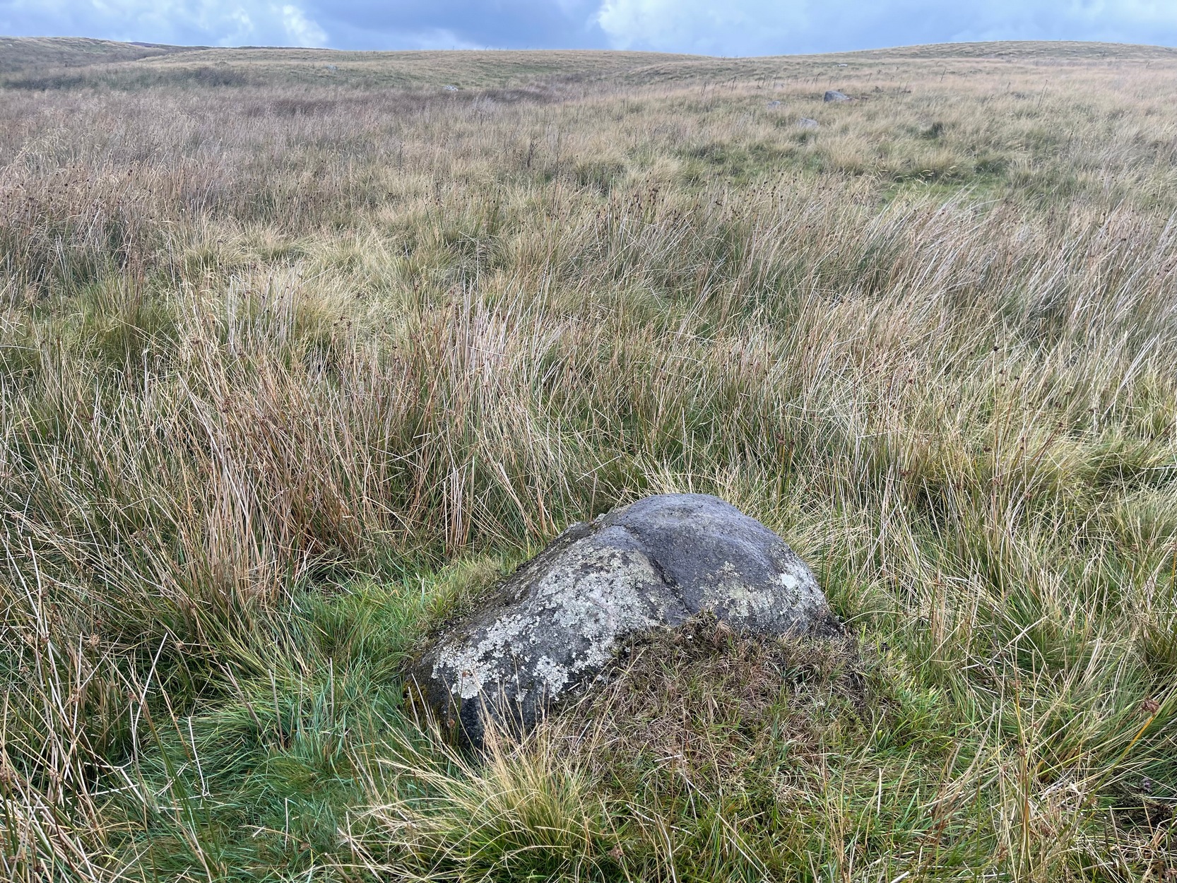
On a recent visit to the Fraggle Rock carving, Tom Cleland foraged about at the edge of what was, in centuries gone by, a good flowing stream below the west slope of Reva Hill. An old pathway cut across one section of it near where the walling now runs, covered these days in the mass of Juncus reeds, typical of mashy grounds. And here, just where folk would cross the waters, Tom found a good sized stone with a single deep cup-mark on its crown, calling through a feast of lichens to be seen once more. There may be a second cup-mark by its side, but the light wasn’t good when we were here, so that’ll be worked out some other day. Anyhow, this one’s probably only for the crazy petroglyph hunters out there. It’s the Fraggle Rock and its companios that you’re gonna be looking for, nearby….

© Paul Bennett, The Northern Antiquarian