Cup-and-Ring Stone: OS Grid Reference – NN 8818 4906
Getting Here
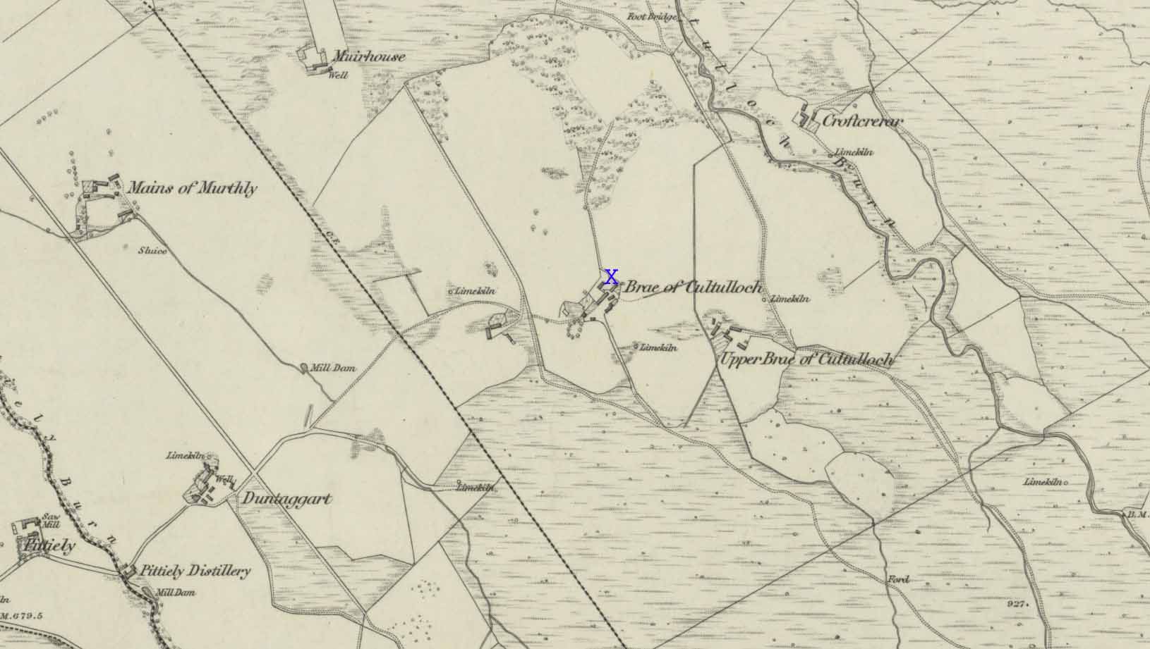
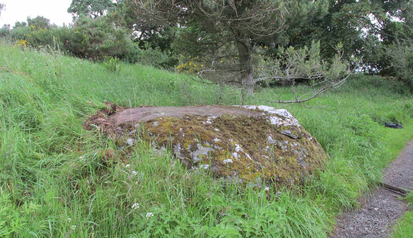
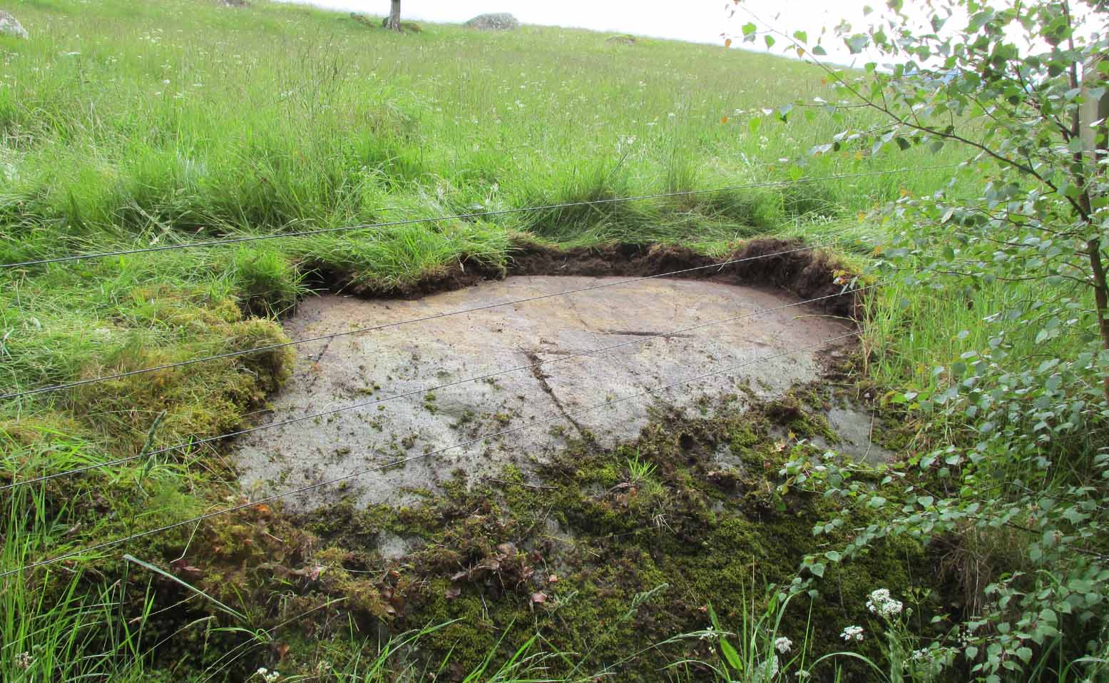
Out of Aberfeldy, take the A826 road as if you’re going up Glen Cochill. Not far up, just where the housing of Aberfeldy itself ends and the green fields open up either side of you, keep on the road for a half-mile where you meet a small copse of trees on your left, with a dirt-track that runs down the slope. Go along the track for 0.8 miles (1.3km), past the Ursa Major Stone and where the track splits, go left past the Quartz Stone and follow the track through the farmyard. It’s somewhere there – or is supposed to be!
Archaeology & History
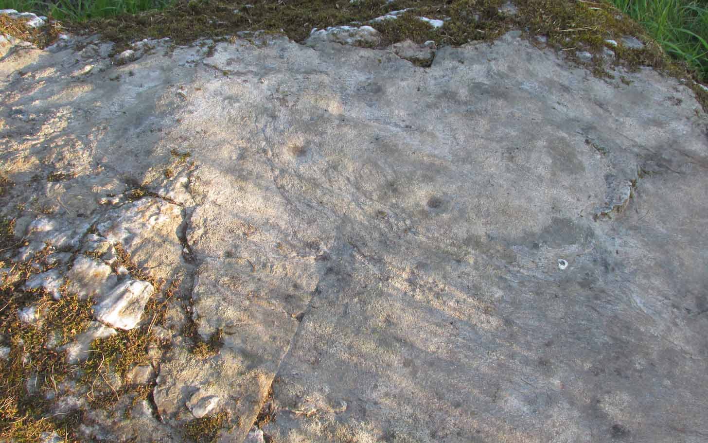
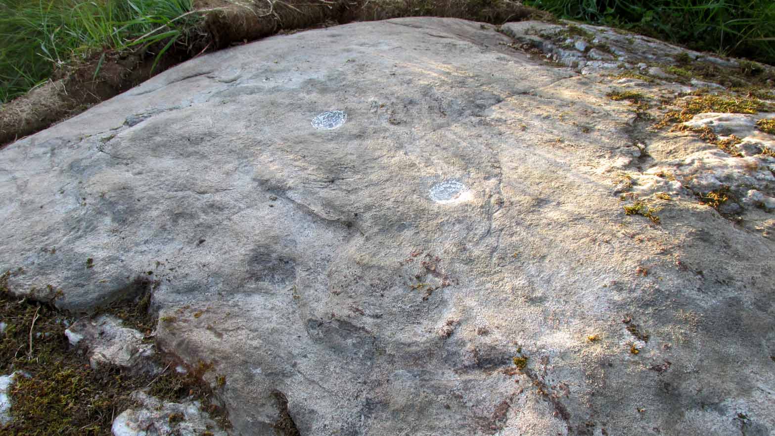
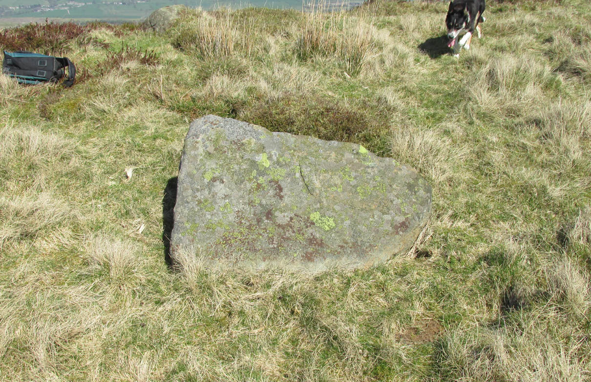
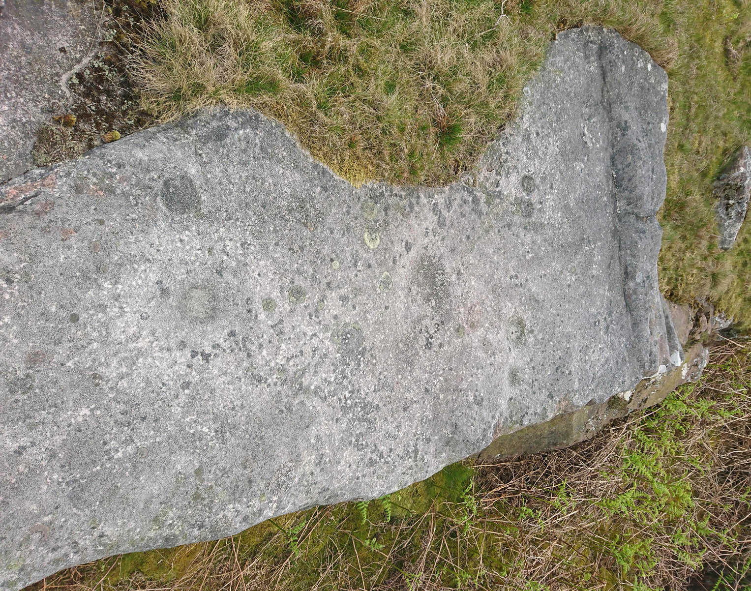
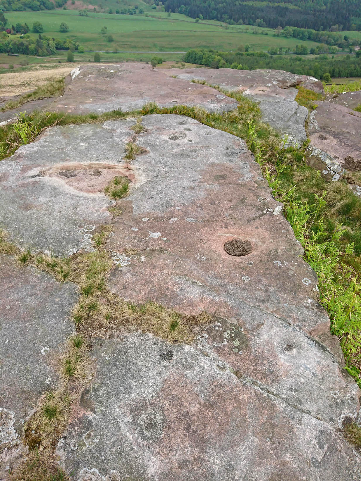
On our visit here, we couldn’t locate the cup-and-ring stone that’s described in Sonia Yellowlee’s (2004) regional rock art survey. She described it, as archaeologists always do, in the briefest manner, telling us simply:
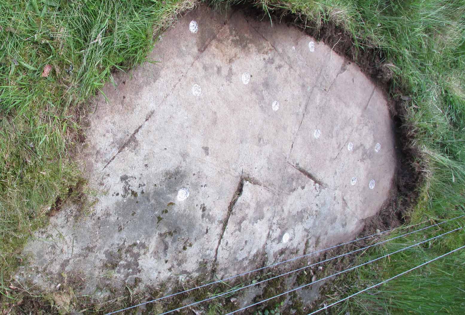
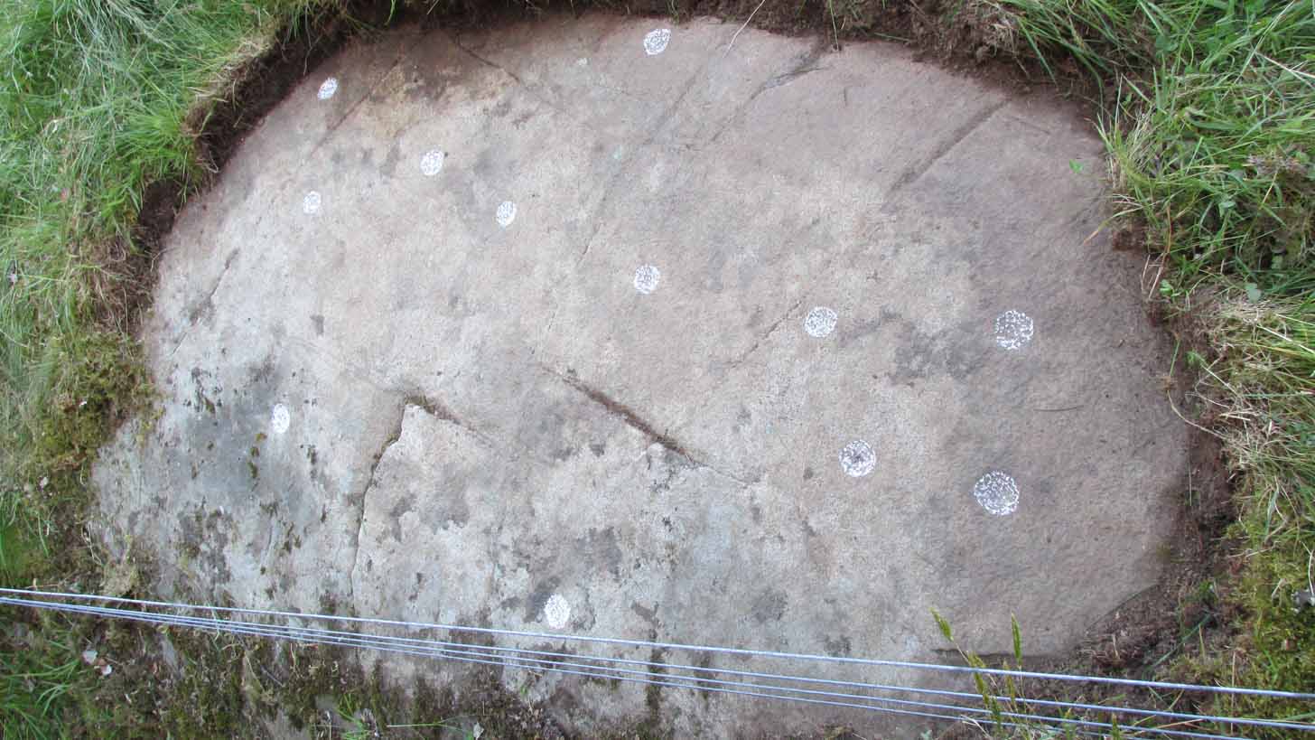
“Leaning against a pile of rubble in the farmyard there is a split boulder bearing eighteen cupmarks, one of which is ringed.”
It may have been destroyed, as we were told by a couple of locals that there used to be “a real miserable sod” living there. When we visited the place and tried to ask the present farm owner, sadly he wasn’t to be found. If any rock art explorer manages to locate this seemingly lost cup-and-ring, please let us know – and mebbe send us some photos so that we can add them to this site profile. 😉

References:
- Yellowlees, Sonia, Cupmarked Stones in Strathtay, RCHAMS 2004.
Acknowledgements: Big thanks to the crew – this time being Neens Harris, Paul Hornby & Frank Mercer. And the stunning resource of Scotland’s 1st edition OS-maps is Reproduced with the kind permission of the National Library of Scotland.
© Paul Bennett, The Northern Antiquarian