Healing Well: OS Grid Reference – SE 19898 23679
Archaeology & History
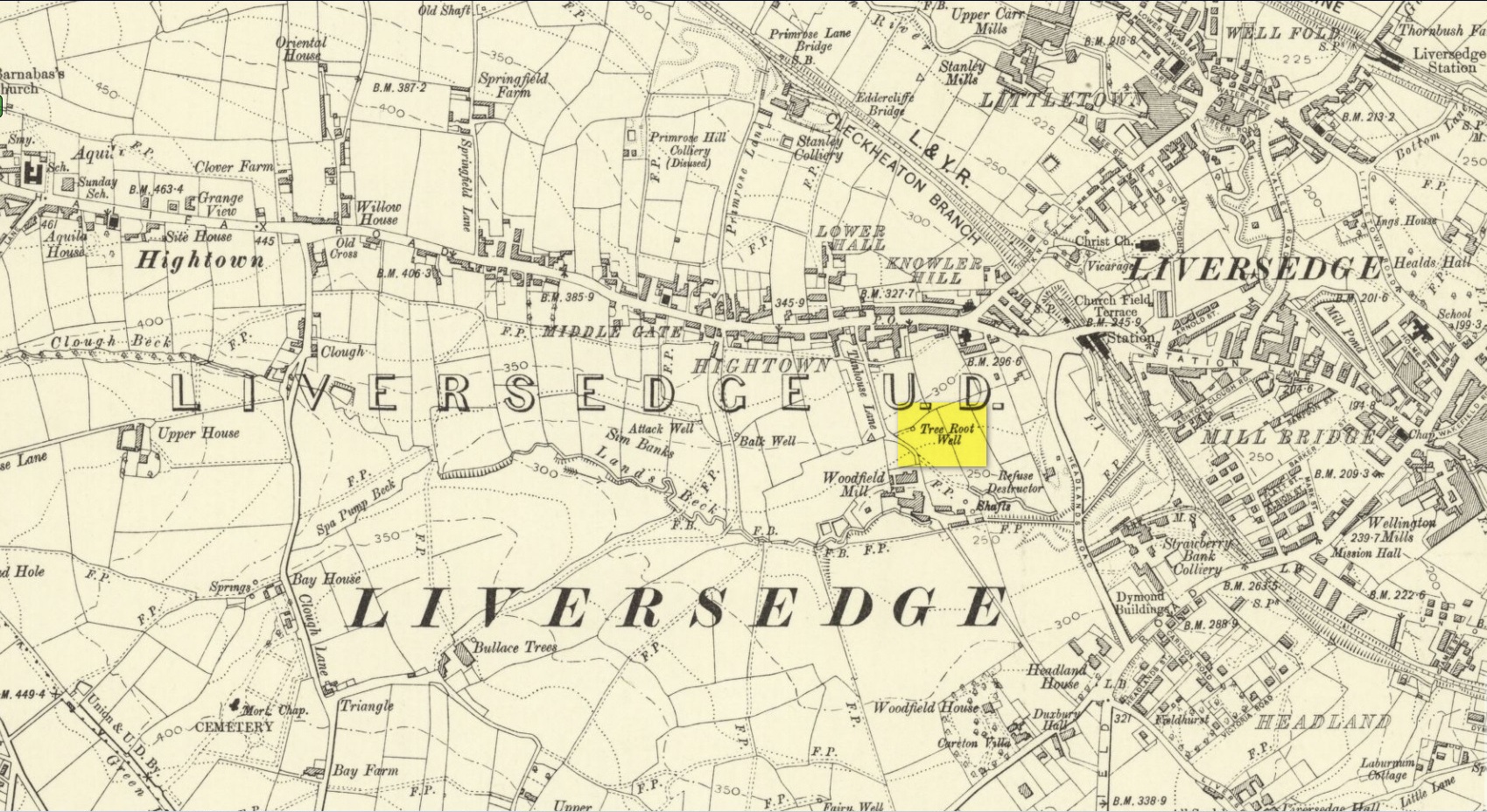
Along with the nearby Attack Well and Balk Well, this was one of three water supplies for the people of Middle Gate between Hightown and Liversdge in the 19th century. Found near the bottom of the old track known as Tanhouse Lane, its waters emerged at the base of some Victorian walling that’s built into the hillside, above which are the decayed remains of what seems to be an old hawthorn tree, whose roots obviously reached down to the stone trough, giving the place its name. Its waters have long since dried up and fallen back to Earth. Although it is shown on the 1908 OS-map of the region, I can find no virtues ascribed to the well nor any local history notes.
Acknowledgements: Huge thanks to the great Gary Ferner, for help in locating the site and the day’s venture!
© Paul Bennett, The Northern Antiquarian