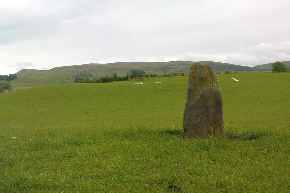
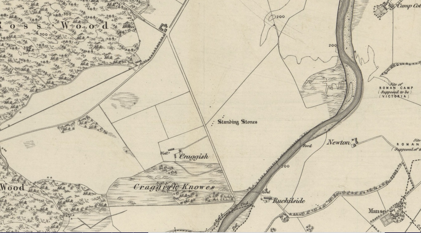
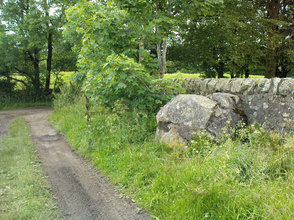
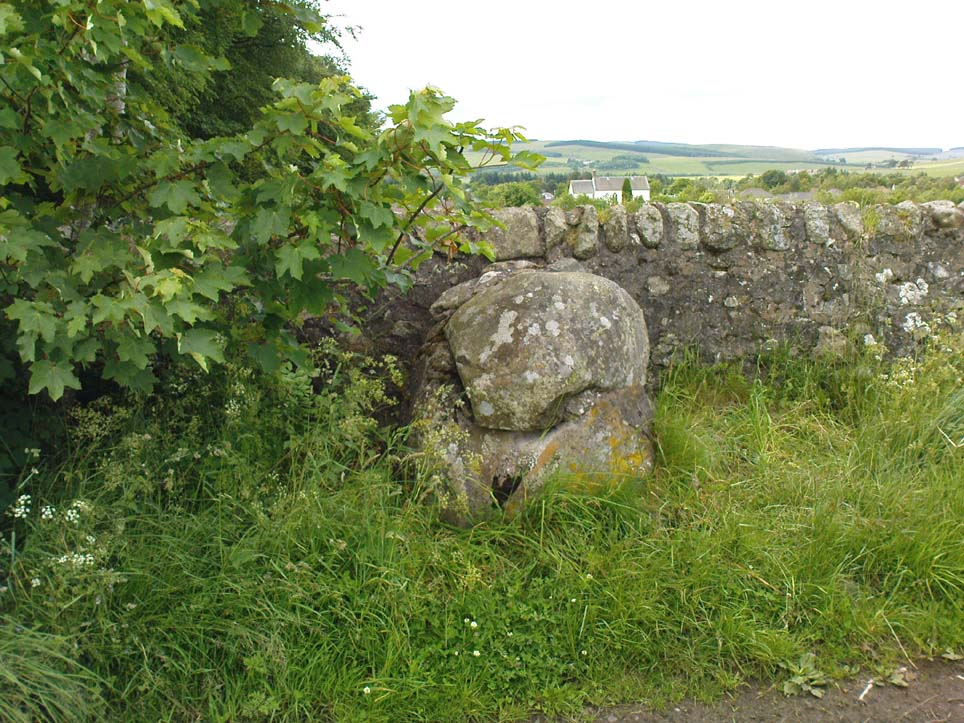
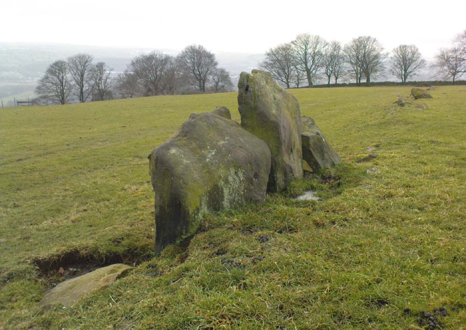
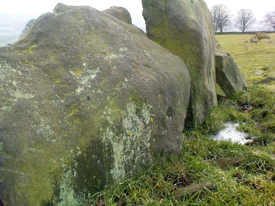
In the lovely village that is the Crook of Devon, go down Church Lane, past the houses, until you meet with the dirt-track on your left that runs straight up beneath a grove of trees heading into the green fields. Go up here 100 yards until you meet another track that goes sharp left. Just here, 10 yards along, a solitary tree sits by the wall; and just past it is a large boulder up against the walling. This is the Bull Stone!
Archaeology & History
Bull Stone, Crook of Devon
If you didn’t know owt about this place, you wouldn’t even give it a second-thought. A decent-sized rock, obviously broken-up and then plastered back together again, is innocuously resting up against the wall. But it appears to have had some significance in bygone centuries, although its full story has yet to be recovered. It was described in the Royal Commission (1933) report for antiquities, where they told:
“Built against the dike on the north side of an old roadway, half a mile to the south of Crook of Devon, is a huge sandstone boulder known as ‘The Bull Stone.’ It is probably an old boundary mark or, like the Leslie Stone…it may have some association with the old-time pastime of bull-baiting. The stone was broken up a number of years ago, and the fragments were carted away to be built up in another dike hard by, but, in response to public agitation, they were returned to the original site and cemented together. The boulder rises 3½ feet above ground and has a girth of about 13 feet at the base. It is not set up vertically, but lies on its side.”
It may originally have been a standing stone as local lore tells that it once stood as high as a grown man, but is now only half that size. It may have been one of the meeting places of the legendary witches at the Crook of Devon, but this is guesswork on my behalf (so best ignored!).
References:
Royal Commission on the Ancient & Historical Monuments of Scotland, Fife, Kinross and Clackmannan, HMSO: Edinburgh 1933.
Take the B824 road that runs between Dunblane and Doune and, whichever direction you’re coming from, watch out for the large statue of David Stirling by the roadside (y’ can’t really miss it!). Stop here. Then, walk along the dirt-track into the field by the side of the statue, keeping your eyes peeled 50 yards along, for the upright stones in the field on your right, at the top of the brow of the hill.
Archaeology & History
Glenhead Farm standing stones
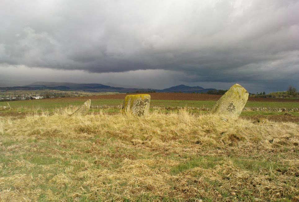
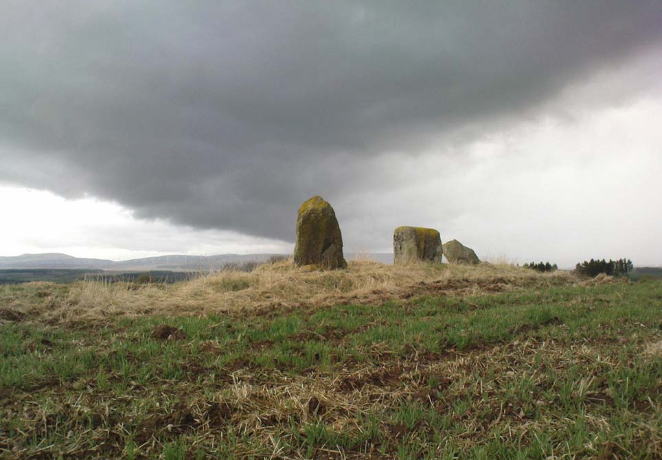
A few hundred yards south of the large Glenhead Standing Stone, we come across this curious small row of three reasonably large standing stones which — the more you look at them — give the distinct impression that they may be the remains of a large prehistoric tomb. But archaeology records are silent on this matter and we must contend with what we can see. At the northernmost end of the row, a fourth stone lays amongst the vegetation: it may have once stood alone, or maybe been snapped from its fellow monolith. 20 yards south is a large mass of stone; perhaps from an old building, perhaps cairn spoil (does anyone know?)
The local historian Moray Mackay (1984) thought that the line of stones here were once a part of something larger, saying:
“Originally it was probably a circle of six stones, with a seventh in the middle, and this central stone can still be identified by its flat top on which are the mysterious and well known cup-marks, much weathered but plainly visible. Close to the site, urns and stone hammers were unearthed last century.”
Glenhead stone row, looking north
Of the three remaining upright stones, it is the central one which has the cup-markings visible on its top and side (Allen 1882), with a lovely covering of almost luminous lichen giving it extra effect! (a separate TNA Site Entry for the cup-marked stone will be written in due course)
The famous astroarchaeologist Alexander Thom and his son (1990) described the place as,
“A three stone alignment showing about 33° N declination in one direction and 31° S in the other, but the azimuth comes from the stones only and so cannot be accurate. Perhaps the line is lunar to the hill in the SW…”
In Thom’s (1967) earlier work he posited that the alignment may relate to the rising of the star Capella around 1760 BC, but this is untrue. Thom’s error however, was not of his making, but due to the false dates that archaeologists ascribed to megalithic ruins at the time – dates which Thom used in his research, believing that the archaeological fraternity would know what they were talking about! In their collaborated text, Aubrey Burl added how,
“these stones stand on a hill summit at 360ft (110m) OD. The row is on a north-facing slope. Three stones stand. A fourth, prostrate, 6ft 6 in (2m) long, lies against the NE pillar. The row has a NNE-SSW axis. The northernmost stone is 3ft 6in high, the centre 4ft, and the SSW, characteristically the tallest, 6ft 6in… The line is about 27 feet (8.3m) long. The central stone has 23 cupmarks on its top and 4 more on its western side.”
…to be continued…
References:
Allen, J. Romilly, “Notes on some Undescribed Stones with some Cup-Markings in Scotland,” in PSAS 16, 1882.
Burl, Aubrey, From Carnac to Callanish, Yale University Press 1993.
Take the A820 road from Dunblane to Doune. About a mile west of the motorway, keep your eyes peeled for where the small road on your right is signposted to Argaty and Kilbryde. Stop here and walk up the footpath on the left-hand side of the road. A couple of hundred yards up, take the right turn on the track and where the small copse of trees is, go through the gateway, keeping yourself to the left edge of the trees running parallel to the field. About 100 yards or so up, you can’t miss him!
Archaeology & History
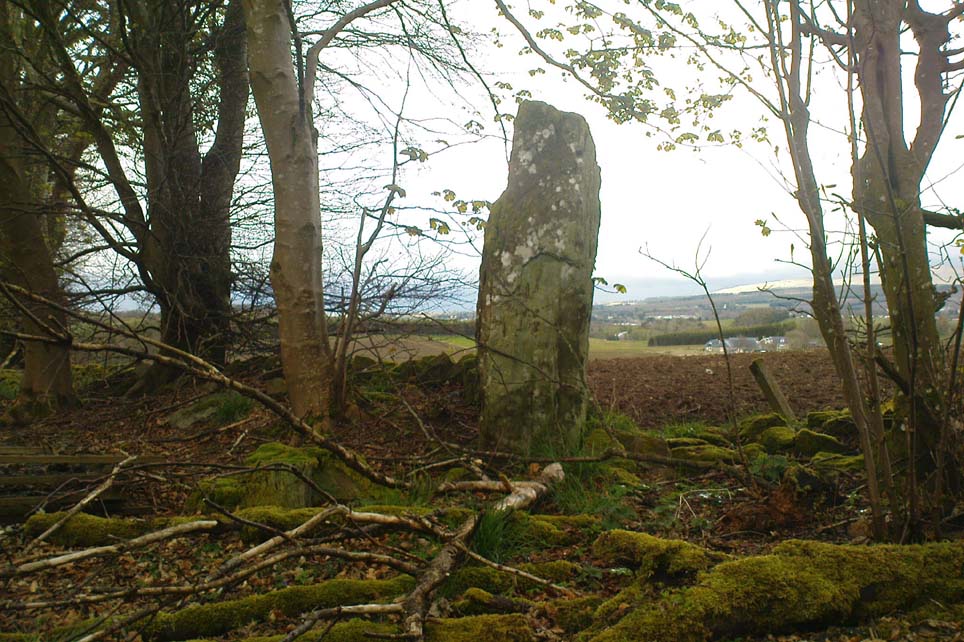
Quite a huge fella this one! Standing more than 6 feet high, the monolith is nearly as broad, giving an impression of great size to the old stone. The stone’s nature and date is troublesome: although ostensibly labelled as Bronze Age, alongside the walling which runs down from here we see a great number of other large stones, some of which give the distinct impression of being length of Iron Age walling — but without excavation, its nature remains a puzzle. The monolith stands close to being on top of a rise in the land, which geomancers understand as being important sites of spirit, or places where the dead were rested — but we have no record of any tombs here, so are left with the options of walling or a spirit site.
…and from another angle
On its east-face, the stone has a number of what appear to be curious large cup-markings, but they appear to be little more than the effect of weathering and erosion. There’s also a solid piece of long metal sticking out of the same side, which was obviously done by someone in recent centuries — so maybe a local farmer and his mates stood this one up? Or they were planning on using it as a gatepost…
The site is well worth looking at, best in the winter months when access is easier. It has the feel of other sites close by, hidden from the record books, though probably long gone.
References:
Royal Commission on the Ancient & Historical Monuments Scotland, Stirling – 2 volumes, HMSO: Edinburgh 1963.
Royal Commission on the Ancient & Historical Monuments of Scotland, Archaeological Sites and Monuments of Stirling District, Central Region, Society of Antiquaries of Scotland 1979.
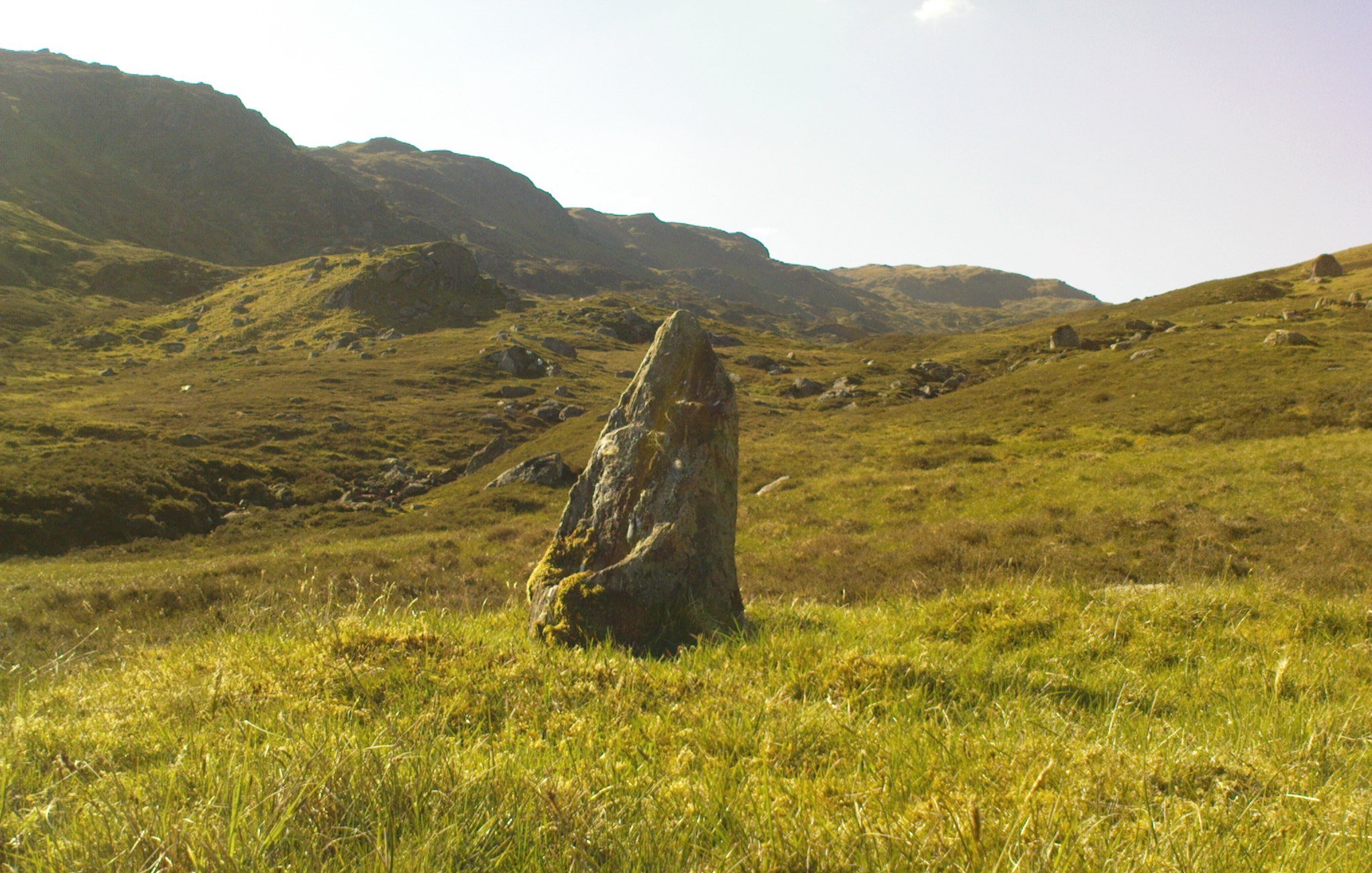
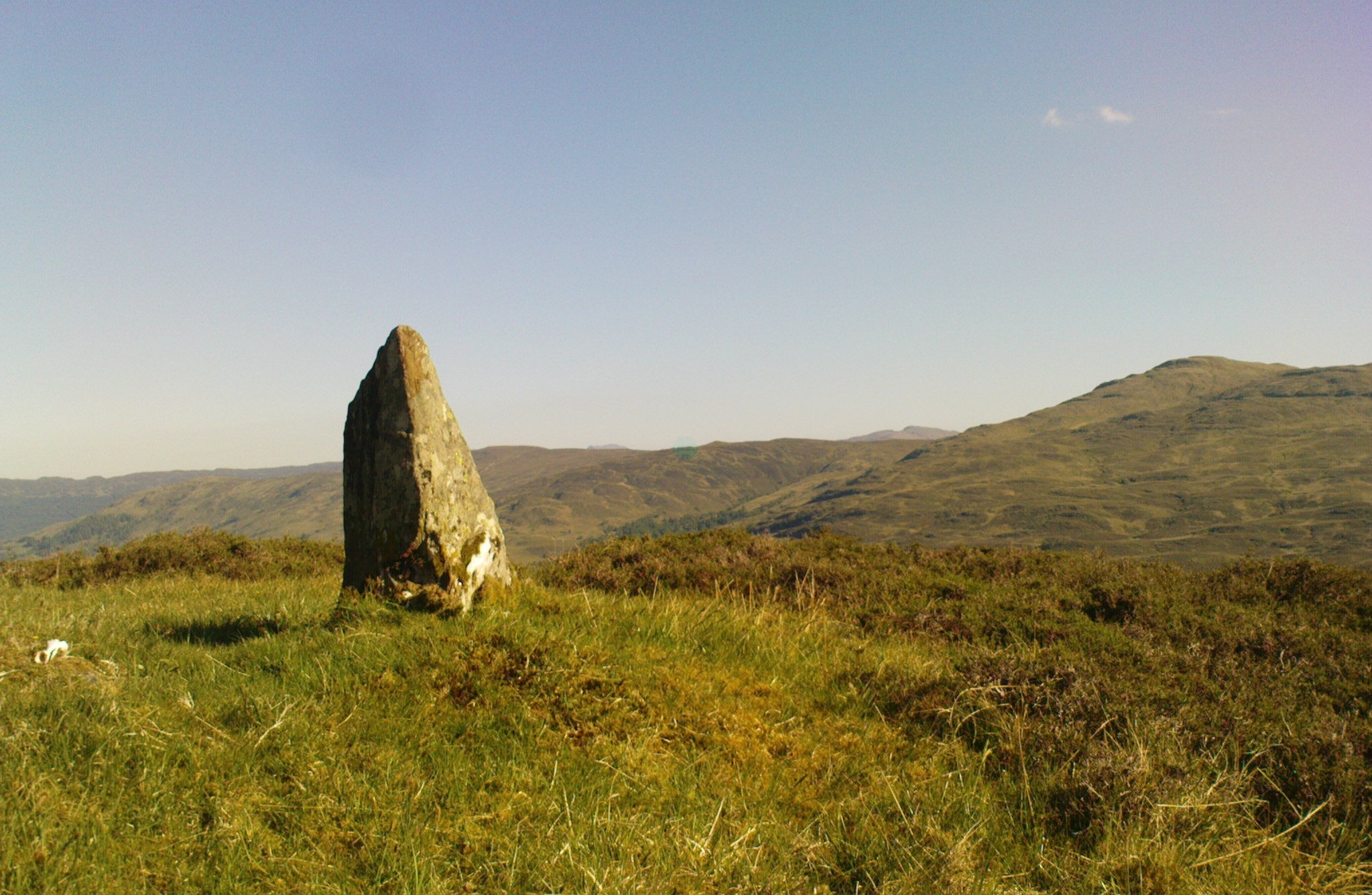
One helluva climb to reach this little fella. I simply started at Dalgirdy cottage, some 5 miles along Glen Lochay, on the right-hand side of the road. Then, walk right up the burnside, all the way up until it begins to level out and the old shielings appear. When you’ve got to where they just about finish, about 50-70 yards on the east side of the burn, you’ll see the small stone standing upright, all alone. You can’t really miss it!
Archaeology & History
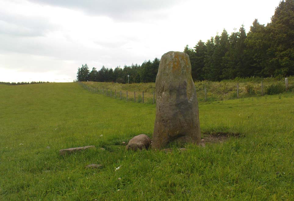
Allt Ghaordaidh, looking south-ish!
No previous written records exist that describe this small standing stone, whose nature and age may be akin to that at nearby Tirai, found amidst the derelict village a couple of miles east, lower down the slopes — i.e., it may have simply been part of some of the ancient village remains and shielings found close by, either side of the rushing burn. But whether it’s only medieval or much more ancient than that, its position in the landscape alone (much like Tirai’s uprights), deserves to be known about.
There are considerable amounts of ancient remains scattering the mountains slopes all round here: some have been catalogued, but a lot of it has not. This little standing stone is at last alive again! (take good food and kit when visiting here)
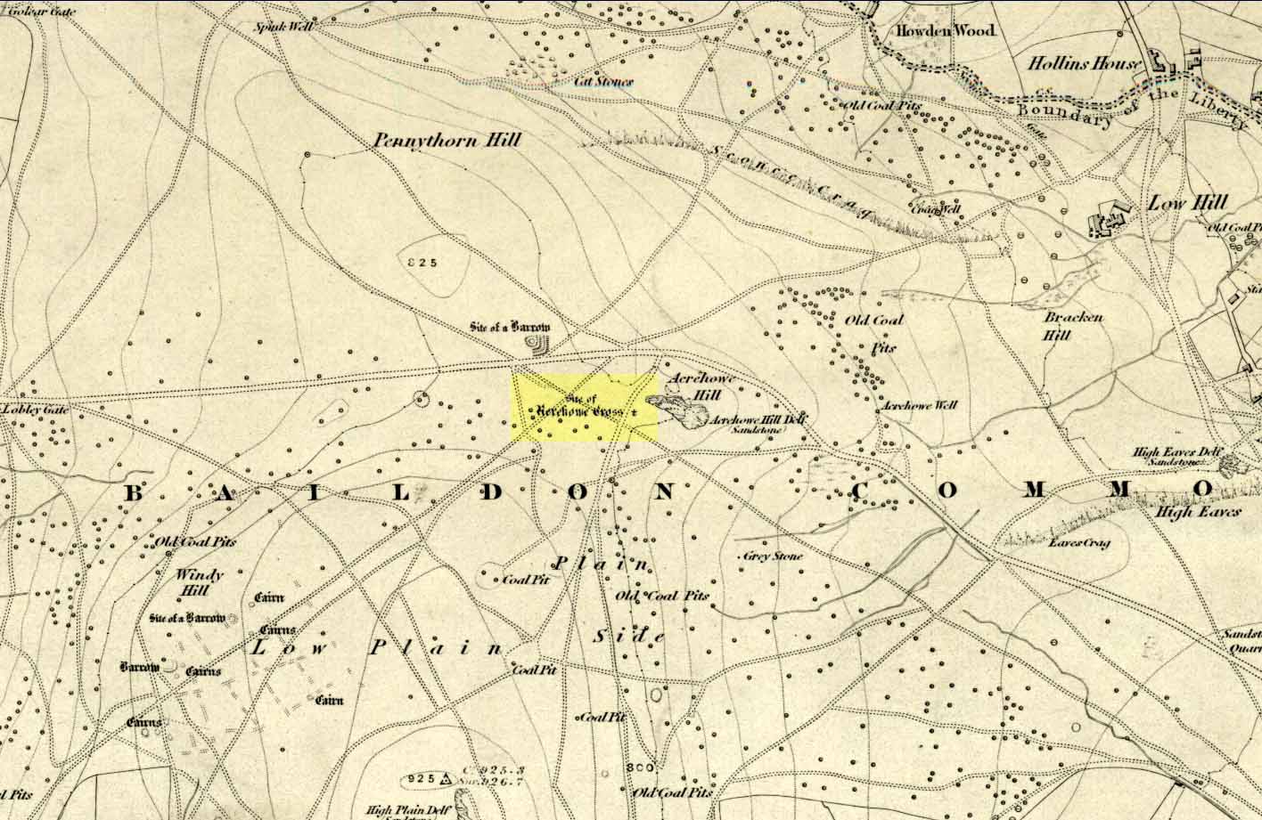
Once found on the other side of the road from the prehistoric circle of Acrehowe Hill, this old cross was destroyed sometime in the first half of the 19th century by one of the stewards to the Lady of the Manor of Baildon, a Mr Walker. It’s unlikely that Mr Walker would have performed this act without direct orders from the Lady of the Manor, so the destruction should really be laid at the feet of the land-owner, who’ve got a habit of destroying archaeological sites up and down the land, even today.
Found near the crown of a small hill on the horizon whether you’re coming from Eldwick- or Baildon-side, the cross was erected (probably between the 12th and 14th centuries) amidst a cluster of heathen burials and cup-and-rings, many of which would have been known by local peasants as having old lore or superstitions about them. So the church commandeered this spot, desacralized it and no doubt enacted profane rites around it under the auspice of some spurious christian law. They did that sorta thing with every non-christian site they ever came across—or simply vandalised it, much as many of them still do today. Sadly we know not the exact history of the old cross: whether it was an old standing stone on the crown of this hill which they defaced and made into a cross, or whether they erected their own monument, we’ll never know. But the idea of a once-proud monolith standing here is a strong possibility, considering its position in the landscape and the stone rings of Pennythorn and Acrehowe close by (cup-and-ring stones such as carving no.184 are also close by).
The cross itself once gained an additional incorrect title by the cartographers of the period, who named it Rerehowe Cross—but this was simply a spelling mistake and its newly-found title didn’t last long. The local industrial historian William Cudworth (1876) described the lost cross in his large work, where he told that,
“many of the inhabitants can remember and point out the exact spot where it stood, and no doubt could find some of the stones of which it was composed. It was destroyed by one of the overseers and a large portion of it used for fence stones.”
Harry Speight (a.k.a. ‘Johnnie Gray’) and others also mentioned the passing of this old stone, but give no additional information.
Folklore
In William Cudworth’s description of this site he told how “the village tradition is that it was put up in commemoration of a great battle that was fought on the Moor” at Baildon; but W.P. Baildon (1913) thought this was unlikely. Instead, he cited an 1848 Name Book reference dug out by W.E. Preston, which told that on the summit of Acrehowe Hill,
“Here stood a cross which, according to traditional evidence was erected at the period that markets were held at Baildon, in consequence of a plague which prevented the country people from visiting the village with provisions, etc. The site of its base is very apparent, being circular, about 8 feet in diameter. A large flag stone with the stump of the cross remaining in its centre, was pulled up and destroyed by Mr Walker (Baildon Hall) a few years since.”
References:
Baildon, W. Paley, Baildon and the Baildons (parts 1-15), St. Catherines: Adelphi 1913-26.
Bennett, Paul, The Old Stones of Elmet, Capall Bann: Milverton 2001.
Colls, J.M.N., ‘Letter upon some Early Remains Discovered in Yorkshire,’ in Archaeologia, volume 31, 1846.
Cudworth, William, Round about Bradford, Thomas Brear: Bradford 1876.
Gray, Johnnie, Through Airedale from Goole to Malham, Walker & Laycock: Leeds 1891.
Standing Stones (destroyed): OS Grid Reference – SY 6070 8701
Also Known as:
Jefferey and Jone
Archaeology & History
Described in early field-name listings as ‘Jefferey and Jone’, this was another group of standing stones, whose precise nature is difficult to truly discern, that met with an untimely end in the middle of the 19th century. They may have been part of a large tomb, or even a stone circle. Marked on the early Ordnance Survey map of the area as ‘Standing Stones (site of)’, they appear to have been described firstly by John Hutchins (1774) close to other megalithic remains, who told that:
“A little north of Hell Stone near Blagdon are four upright stones, near to, and equally distant from each other, about two feet high, except that one is broken off even with the ground.”
In Warne’s (1866) classic text he mentioned these petrified monoliths,
“In a small valley, on the down of Portesham Farm, there stood within these last ten years, four upright stones… By the direction of the then occupier of the farm, Mr Manfield, these stones were built into an adjoining wall.”
A few years later another account by H.C. March, which referred to Mr Warne’s description, gave another report citing information from one who was present at the destruction of the site:
“Warne says they have been built into an adjacent wall: but a man who was present at the ceremony stated that, by the spot where they once stood, a hole was made for them, and they were decently interred. The place where they are said to lie can be pointed out, as well as a wall which contains four large stones.” (Harte 1986:54)
Historian and folklorist Jeremy Harte (1986) concluded that the megaliths must obviously have been destroyed around the year 1855. However, the historical references of Jeffrey & Jone being moved into the adjacent walling appears to be verified by independent researchers who’ve found standing stones hereby.
Folklore
Very probably the remains of petrified ancestors, a curious rhyme describes a forgotten folktale of these lost standing stones relating to them as possessing spirit, or once being alive. They were thought of once as being a family who lived in the hills:
“Jefferey and Jone,
And their little dog Denty
and Edy alone.”
Sadly, I can find nothing further that might enrich the folktales that were obviously once spoken of these monoliths.
References:
Harte, Jeremy, Cuckoo Pounds and Singing Barrows, Dorset Natural History & Archaeological Society 1986.
Hutchins, John, The History and Antiquities of Dorset, John Bowyer & J Nichols: London 1774.
Warne, Charles, The Celtic Tumuli of Dorset, John Russell Smith: London 1866.
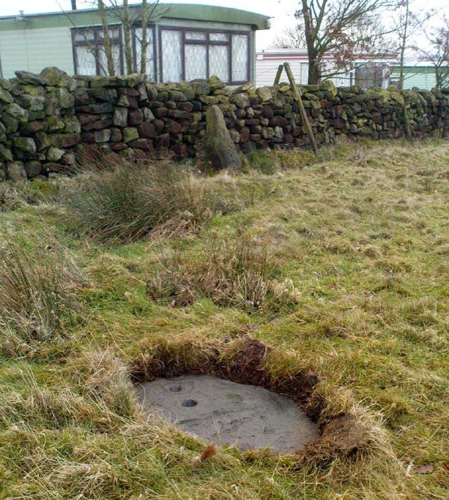
Whether you come via Shipley Glen or Baildon, head for the Dobrudden caravan park on the western edge of Baildon Hill. As you get to the entrance of the caravan site, turn right and walk along the outer walling of the caravan site, up and around for less than 100 yards. Keep your eyes peeled for the upright stone against the outer walling (the famous Dobrudden Cup-and-Ring Stone), and just 10 yards away, laid flat in the grasses, you’ll see this small cup-and-ring stone!
Archaeology & History
Found just a few yards from the well-known Dobrudden Carving that stands up against the wall, this small flat level stone, slowly again being encroached by Earth’s skin, is found on the edge of the High Plain, whereon the usual conjunction of prehistoric tombs and cup-and-rings is found once again. Whether this carving ever had its own cairn or funerary monument is now hard to say for sure; and the excessive erosion of modern humans is slowly eradicating the landscape all round here.
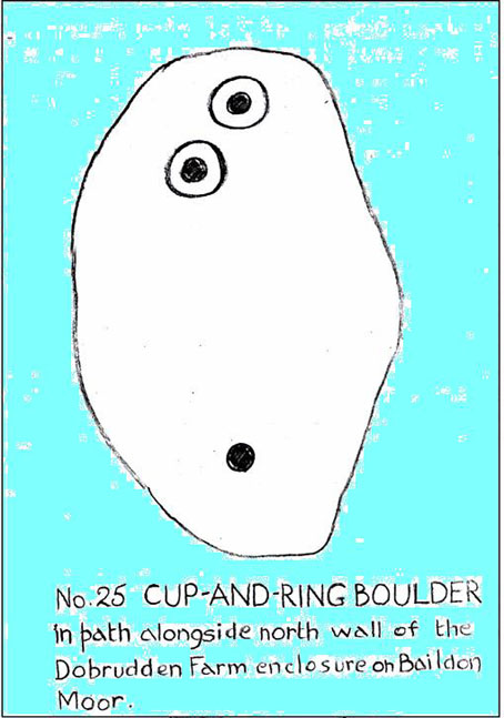
Jackson’s 1956 drawingHedges 1986 drawing
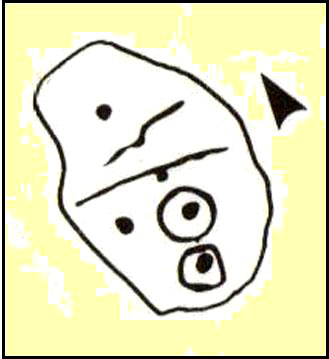
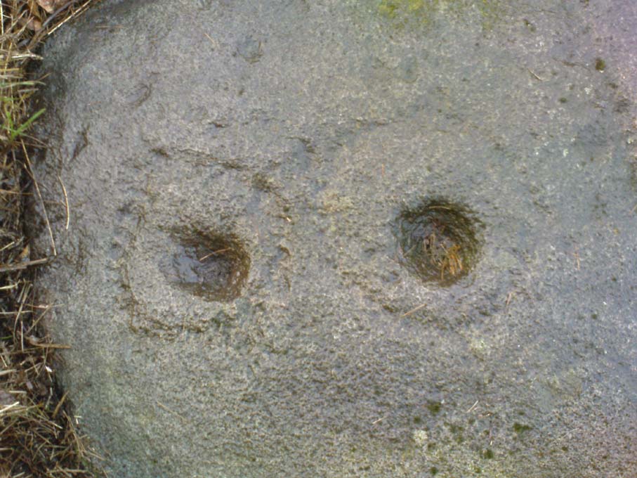
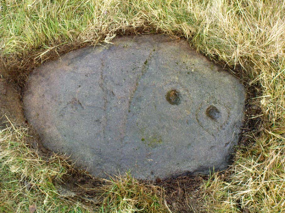
Consisting of two cup-and-rings (with very deep cupmarks in the centres), there are also what seem like artificially carved lines or grooves running across the stone. It was first described in a short article in the Cartwright Hall Archaeology Group Bulletin (Jackson 1956)*, found lying “in the path alongside the north wall of the Dobrudden Farm enclosure.” It seems like stone may have been covered over until some local work on Dobrudden unearthed it in the latter half of the 20th century. There’s also an intriguing note told by a local man called Jack Taylor, which Jackson narrated, saying how he,
“always held the opinion that the rings were not contemporary with the cups, and went so far as to suggest that they had been carved within living memory by someone anxious to ‘improve’ the boulder.”
This might be the case, as there is another carving not far away near the top of Baildon Hill that certainly seems to have been done in the 20th century. And one of the two surrounding rings on this stone does appear to have a more recent look to it than the other. However, we must consider that the covering soil has kept the carved rings in such good condition. (There are examples of petroglyphs throughout the world where certain carved elements were added at later times by countless aboriginal tribes.)
Close-up of cup-&-ringsDobrudden carving 150
Like all of these carvings, to get an accurate picture of the true original we must visit them in all weathers all through the year, to see how differing seasons express the petroglyph. For we can see on some images we have of this carving a number of features that aren’t on the drawings of either Jackson (1956) or Hedges (1986): whether the rings surrounding the cups are ancient or not, there is a definite carved line nearly linking them together; and at least one faint line stretches down from one of the rings. We need to visit the carving again to see if such features show up with greater clarity when lighting conditions are better.
References:
Baildon, W. Paley, Baildon and the Baildons – parts 1-15, Adelphi: London 1913-1926.
Bennett, Paul, Megalithic Ramblings between Ilkley and Baildon, unpublished: Shipley 1982.
Boughey, Keith & Vickerman, E.A., Prehistoric Rock Art of the West Riding, WYAS: Leeds 2003.
Hedges, John, The Carved Rocks on Rombald’s Moor, WYMCC: Wakefield 1986.
Jackson, Sidney, “Another Cup-and-Ring Boulder,” in Bradford Cartwright Hall Archaeology Group Bulletin, 1:13, 1956.
* Boughey & Vickerman (2003) cited W. P. Baildon’s magnum opus (1913) as the first to describe this stone, but this is untrue (there’s certainly no mention nor illustration of it in my editions of the Baildon volumes).
Whether you come via Shipley Glen or Baildon, head for the Dobrudden caravan park on the western edge of Baildon Hill. As you get to the entrance of the caravan site, walk down (left) the footpath outside the park itself, looking across the grasslands, left, to the tree-lined wall a coupla hundred yards away. Head for that. Then go through the gate into the field where you’ll see a denuded line of walling, with what looks like some standing stones along it. That’s where you need to be!
Archaeology & History
First noticed on February 12, 2012, this simple cup-marked stone is another one that’s probably only of interest to the purists amongst you. Found below the southern end of Baildon Hill, due west of the lost Hope Farm cup-and-ring stone, the cup-markings here are on the north-face of an upright stone in an old wall. It’s obvious that this stone was once earthfast, when the carving faced the zenith or night sky, and has been cut in half and turned 90° making the cups more difficult to notice; and very obviously the rock was originally close to its present position in the walling.
Primary cupmark, right-side of stoneClose-up of cup/s
Found in an area rich in cup-and-ring stones, there’s just one singular cupmark that’s obvious on this stone; but as we looked back and forth, feeling the stone with our fingers, it seemed there may be a couple of others on the rock. We need to come back here again in better lighting conditions, as opposed to the old grey day She gave us yesterday, and see if the others are real or simple geological marks.
‘Standing Stone’ (destroyed): OS Grid Reference – TQ 282 804
Also Known as:
Oswald’s Stone
Ossul Stone
Archaeology & History
Described as far back as 1086 in Domesday — as Osulvestane — this old stone was mentioned in numerous old documents, but its ancestral importance had long since been disregarded by modern Londoners. Probably heathen in nature, the stone was referenced in various texts as Osulfestan (1167 and 1168), Osolvestone (1274), Oselstone (1290), Ossulstone (1610) and variants thereof all the way through literary accounts until the emergence of the self-righteous judaeo-christian Industrialists in the 19th century, bringing about its destruction. (they’ve never really stopped to be honest) The grand place-name masters Gover, Mawer & Stenton (1942) told us a bit about the old stone, saying:
“This was probably a stone marking the meeting-place of the Hundred. It has been surmised that its site was near the present Marble Arch, but in 1484…there is mention of Westmynster lane leading between Tyburn and les Osilston Pyttes. Westmynster lane is the later Park Lane…and in a Grosvenor Estate map of 1614… Osolstone is marked as a field-name about halfway down Park Lane on the east side just beyond the present South” Street.
According to the Victoria County History of London (volume 1), the stone was actually in position up to 1822, “but was then earthed over.” However, it was resurrected during the construction of the modern Marble Arch in 1851 and stood up against the monument for several years until its eventual demise around 1869.
W.H. Black’s isosceles triangle, showing Oswulfs Stone at ‘O’
One intriguing commentator on Oswulf’s Stone suggested a more recent Roman origin, due to him finding that the monolith played an important part in a precise isosceles triangle. In a talk given to a meeting of the London & Middlesex Archaeological Society on 10 January, 1870, William Black (1871) reminded his audience that he had,
“already shown that the sculptured and inscribed marble sarcophagus or sepulchral monument…at Clapton had served as a geometric point from which numerous measures extended to boundary points of Hackney and its neighbouring townships.”
And when he explored this potential at Oswulf’s Stone he found even more geometry. Alexander Thom and Alfred Watkins would have been proud of him! His research led him to compare two relative antiquities, both of which he deemed to be Roman:
“Of these two monuments the first is Ossulstone, from which the great Hundred…derives its name. Its position and identity I had discovered some years ago by reversing my method of determining the uses of geometric stones: that is, by finding, from the proper boundary points, a centre where lines of proper quantities unite, so as to make them serve as radii from such centre to the said boundary points…
“Ossulstone is figured in Sir John Roque’s great map of 1741-1761, sheet XI, in the very spot to which my process on other maps had led me; and it is there called the ‘Stone where soldiers are shot,’ situate near the northeast angle of Hyde Park. It was afterwards covered with an accumulation of soil, and is now dug up and lies against the Marble Arch, as stated in my petition, presented last session to the House of Commons, for the protection of ancient uninscribed stones, mounds and other landmarks…
“The second line leads to the well-known sculptured stone, undoubtedly of Roman work, formerly uninscribed, but now bearing an English inscription below the sculpture dated ‘1685’, which (now) forms part of the front wall of a house on the eastern side of Payner Alley… I had already found…that this stone had geometric uses… Now I find that this stone is equally distant from the newly-discovered Sepulchre as that is from Ossulstone.”
But the position of William Black’s stone and that mentioned in the early records described by Gover, Mawer & Stenton, are two different sites—albeit by only 700m—meaning that Black’s triangle never initially existed even if it was a Roman milestone. The likelihood is that the stone was moved about as London slowly grew on top of the once fair Earth. (the OS grid-reference given for the site is an approximation based on the 1614 Grosvenor map) Does anyone know owt more about the place, have any old drawings, or have copies of the old maps showing where the stone once stood?
References:
Black, William Henry, “Observations on the Recently Discovered Roman Sepulchre at Westminster Abbey,” in Transactions of the London & Middlesex Archaeological Society, 4:1, 1871.
Gover, J.E.B., Mawer, Allen & Stenton, F.M., The Place-Names of Middlesex, Cambridge University Press 1942.
Sharpe, Montague, Middlesex in British, Roman and Saxon Times, G. Bell: London 1919.
Take the A827 road that runs from Kenmore (top-end of Loch Tay) to Aberfeldy, and about 2 miles outside Kenmore, once you come out of the woodland (past the hidden standing stones of Newhall Bridge) and the fields begin on the east-side of the road, a small dirt-track leads you slightly uphill to the farm and house of Croftmoraig. The stone circle is right in front of the house less than 100 yards up the track (you can see it from the road).
Archaeology & History
A truly fascinating site, whose history is much richer than its mere appearance suggests. It has mythic associations with both moon and sun, a cup-marked stone to the southwest, and an earlier structure that had Aubrey Burl (1979) suggesting was possibly “the dwelling-place of a priest, a witch-doctor, a shaman.” Not bad at all!
Croft Moraig on 1867 map
The sad thing today is its proximity to the increasingly noisy road to Aberfedly whose begoggled drivers care little for the spirit of place or stones. Here sits a feel of isolation and tranquility broken. But at least the cold information of its architecture is available for tourists and archaeologists alike; at least their depersonalized appreciations are served!
Described first of all (I think) in the old Statistical Account by Colin MacVean (1796), he told Croft Moraig to be one of “several druidical temples” in the area, “perhaps the largest and most entire of any in Scotland,” he thought:
“It is about 60 yards in circumference, and consists of three concentric circles. The stones in the outermost (ring) are not so large as those in the inner circles, and are not, like them, set on end.”
Hutcheson’s 1889 planCroft Moraig, looking N
The first decent archaeocentric evaluation of Croft Moraig was done in the 19th century by Alexander Hutcheson (1889), who gave us not only the first decent ground-plan of the site, but was also the first person to note that there were some faded cup-and-ring markings at the circle. After first directing his antiquarian readers to the site, he described the multiple rings of stones here, that had been built on top of an artificial platform of earth and stones:
“The circles are concentric, three in number, and occupy a little plateau which may be artificial, as the outer circle just covers it, on the gentle slope which here rises towards the south from the public road.
“I have prepared and exhibit a plan of the circles, and for reference have distinguished the stones by numbering them in the plan. The inner circle consists of eight stones all standing, with one exception, No. 3, which presumably has fallen inwards. The next or second circle consists of thirteen much larger stones, nine of which stand erect; Nos. 3 and 5 have presumably fallen in, while Nos. 7 and 9 have fallen outwards. The outer circle is formed by a number of smaller stones placed so as to form a sort of rampart. These are recumbent, and lie generally with their larger axes in the direction of the rampart. The circle measures, over the stones, as follows:
“Inner circle, West to East, 25 ft. 6 ins., North to South, 22 ft. 6 ins.
“Second circle, West to East, 40 ft North to South, 41ft 3in
“Outer circle, West to East, 58 ft North to South, 58ft
The stones are all rounded or water-worn boulders of dolerite, granite, schist, &c. The stones marked A and B are large blocks, 6 feet 6 inches high, 4 feet broad, and 2 feet 6 inches thick, standing upright. C seems to be a large (section) which has fallen from B, and lies flat on the ground.
“At the south-west side and in the line of the outer circle lies the cupmarked stone… If, as has been suggested, the two large blocks A and B formed the entrance to the circles, then the entrance faced towards the south-east. The blocks vary in height from 3 feet to 7 feet above ground, while of those which I have supposed to have fallen, their dimensions are, naturally from the ground-hold having to be added, much greater, amounting in one of them to 9 feet 6 inches long. There is a longish low mound of small stones, like an elongated cairn, which might yield something if it were to be searched. It lies just abreast of the cup-marked stone. I have referred to the recumbent stones in the two inner circles as having probably stood at one time erect. This I have presumed for several reasons, the principal being that one end of each of these stones corresponds in position with the circle formed by the standing stones; and while this is the case the recumbent stones do not preserve a uniformity of direction, but lie indifferently outwards and inwards from the lines of circularity, and at differing angles from these lines…”
Fred Coles’ site planOne of the cup-marked stones
Some twenty years later, the legendary northern antiquarian Fred Coles (1910) brought his lucidity to Croft Moraig and with it, even greater attention to detail. In a lengthy description of each and every aspect of the circle that has yet to be equalled he gave the reader the most detailed description we have. I hope you’ll forgive me adding Mr Coles’ prolonged description, but it is most valuable for anyone wanting to explore the site in greater detail. He wrote:
“As will be seen from the plan…the structural portion of Croft Morag consists, first, of a roughly circular, earthen mound (lettered in small type a-t), some 3 feet high, which is marked off by several stones of a more or less slab-like character, set irregularly upon a circumference of, approximately, 185 feet. This outermost setting, or revetment of stones is visible now only at certain fragments of the arcs; i.e., it is well-defined on the SW at a, where a long Stone, 6 feet 5 inches by 2 feet lies flat, and bears numerous cup-marks…; on the S arc there are five small Stones (b, c, d, e, f) all earthfast and flattish; on the SE are three similar Stones (g, h, i); on the E arc, four (j, k, l, m); on the N arc, very slightly to the west, one very large Stone (n) flush with the ground at the edge of the bank and a good deal overgrown with grass, measuring 8 feet 6 inches by 3 feet 3 inches; farther to the NW are five stones more (o, p, q, r, s), the last three having only very small portions visible; and, still farther round, is the last of what I consider to be these ridge-slabs (t) close under the edge of the great fallen sloping stone D. Thus the total number of measurable and separate stones now resting on the outermost ring is twenty.
“The stones of the intermediate ring constitute the imposing feature of the circle. They are thirteen in total number in the present condition of the circle, but they probably numbered eighteen when the circle was complete. Nine of them are the tallest in the whole group; four of these are prostrate on the W arc. By striking a radius from the common centre of the circle through the centres of these great stones which are erect, to the outermost circumference, the following measures are obtained: from centre of E, the NNW stone, to the ridge 14 feet 6 inches; from F, NNE stone to the ridge 13 feet 4 inches; from G to ridge 14 feet 4 inches; from H to ridge 13 feet 4 inches; and from I, the SE stone, only 10 feet 6 inches. The four fallen blocks, lying as shown A, B, C, D, no doubt stood on this intermediate ring, the diameter of which measured from centre to centre is 38 feet. Now, it must be observed that between A and B and A and I there are Stones (shaded in the plan); these two are erect, the one near B measuring 3 feet in length, 2 feet in breadth, and 3 feet 4 inches in height; it is quite vertical, and is undoubtedly in situ. The other small erect Stone midway between A and I has much the same size’ and features. Between B and C there is shown in outline another of these small stones ‘in line’ with the great pillars which remain on the E arc; and it is quite clear that if this remarkable and novel feature of alternating each tall stone with a very small but vertical block was originally carried out all round this intermediate ring, there would have been eighteen stones in all. Without the most arduous and careful excavation in these interspaces however, it would be extremely difficult, if not impossible, to prove that these small blocks did once stand on the eastern semicircle.
“As illustrating the general size of the great stones, when fully exposed to view, the dimensions of the four fallen blocks are here given: A, 7 feet 7 inches by 4 feet 10 inches, and fully 2 feet thick; B, 9 feet 2 inches by 3 feet 9 inches (on the upper face), and 2 feet 9 inches thick; C, 8 feet by 4 feet, and 3 feet fi inches thick; D, 7 feet by 4 feet 6 inches, and 3 feet thick at its vertical outer edge.
“The five upright stones of the intermediate ring measure as follows: I, the SE stone, 5 feet 6 inches in height, and in girth 11 feet; H, the east stone, 5 feet 8 inches in height, pyramidal in contour, and in girth 11 feet 4 inches; G, the NE stone, 5 feet 3 inches in height and 11 feet in girth; the next stone, F, 5 feet 7½ inches in height and 13 feet 6 inches in girth; and stone E, nearest to the north on the W arc, stands 6 feet 3 inches in height and measures round the base 9 feet 3 inches.
“The stones forming the inner ring, which is a broad oval in form, are eight in number, quite erect, with one exception; the fallen one (shown in outline) is due south of one set at the north point and the distance between these two is 23 feet 8 inches. If however, the distance between the N Stone and the E one at the SSE be taken, this diameter is 26 feet, as against one of 21 feet taken between the NW and SE stones. Measured from the centre of the fallen stone a space of 10 feet 3 inches divides that from the centre of the erect stone on the east, and an equal space divides it from the centre of the stone on the west. Between the N stone and that on its southwest an equal space of 11 feet 3 inches exists as between that stone and its SE stone; but between these last two there is a third almost exactly midway. The fallen stone measures 5 feet 10 inches by 3 feet 9 inches; the NW stone is 4 feet 6 inches in height, the SW stone 3 feet 6 inches, the N stone 3 feet 4 inches, the NE one 2 feet 6 inches, and the stone between it and the fallen block 3 feet 4 inches in height.
“In addition to the feature above noticed, of tall stones alternating with much smaller ones, Croft Morag possesses another noticeable arrangement in the presence of two great massive monoliths (U and V on the plan) standing like the remains of a portal, nearly eight feet outside of the boundary ridge on the SE. Neither of these stones is now absolutely vertical, stone U leaning considerably out towards the SE, and V having a very slight lean inwards to the circle. The former is 6 feet 2 inches in vertical height with a basal girth of nearly 12 feet, which is probably an under-estimate, for there are two large fragments (w and x) which appear to have been severed from this stone, the edges of which nearest the fragments are rough and sharp. The latter (V) stands 6 feet 4 inches in height and girths 11 feet 8 inches…
“…Besides its complexity of arrangement and the great number of measurable stones, forty-two in all, this circle is emphasised by the existence of a cup-marked stone set in a portion of its structure…on the SW arc… There are nineteen cups in all, only two of which differ much in diameter and depth from the rest, and there does not appear to be anything in their design to suggest a meaning or lend a clue to their symbolism.”
When the monument was excavated by Stuart Piggott and his mates in 1965, it was found to have been built over many centuries. As Aubrey Burl told:
“The first phase, of the late neolithic, consisted of about 14 heavy posts arranged in a horseshoe shape about 25ft 10in x 22ft 10in (7.9 x 7m) with a natural boulder at its centre. Burnt bone was found near this. Outside was a surrounding ditch and at the E was an entrance composed of 2 short rows of posts.
“In the second phase the timbers were replaced by 8 stones graded in height towards the SSW, also erected in a horseshoe 29ft 10 x 21ft (9.1 x 6.4m). A rubble bank was heaped up around it. On it at the SSW was a prostate stone with over 20 cupmarks carved on it. Other cupmarks were ground into the NE stone.
“Finally a circle of 12 stones, about 40ft (12.2m) is diameter, was erected around the megalithic horseshoe with a pair of stones forming an entrance at the ESE. Graves may have been dug at their bases later.”
Fred Coles mentioned a couple of other local names given to the site, one of which – Mary’s Croft – he thought may point “to a dedication to the Virgin.” Another curious place-name next to the site is called Styx,
“which appears to be the modern abbreviated form of the Gaelic word stuicnean. This, Mr Dugald McEwan affirms, meant ground full of overturned forest-trees; and it is therefore probable that in the remote past all the land surrounding the Stone Circle was a deep forest, and perhaps because of its seclusion, this site was selected as the most fitting for the erection of the principal Circle of the district.”
Alex Thom’s ground-plan
When the engineer and archaeoastronomer Alexander Thom (1967) came to examine Croft Moraig, he found the outlying stones to the southeast could have been solar alignment indicators, albeit poor ones. However, the geometric structure of the ring appeared to further confirm the use of his Megalithic Yard by those who built the circle. Thom’s illustration shows his finding, which he described briefly as follows:
“Two concentric circle and an ellipse. The circle diameters drawn are obviously too large and could be as small as 58.5ft outer circle and 41.0ft inner. Outer circle diameter58.5ft = 21.5 MY. Perimeter 67.5 MY = 27 MR. Inner circle diameter 41.0ft = 15.1 MY. Perimeter 47.3 MY = 18.9 MR. Ellipse drawn has major axis 11 MY, minor axis 8 MY, distance between foci is 7.5 MY. Perimeter is 30.0 MY = 12 MR. This ellipse looks slightly large but the triangle on which it is based and the perimeter are almost perfect.”
Folklore
Old lore told that the standing stones of Newhall Bridge 850 yards away (777m) were once connected with the Croft Moraig circle. William Gillies (1938) told this tradition saying,
“that at one time there was a paved way connecting the circle, of which these stones are the remains, with the great Croftmoraig circle.”
Croft Moraig, looking W
Fred Coles also noted that one of the stones in the circle (stone D in his plan) had “been polished by the sliding of generations of children”. This playful action on stones elsewhere in the UK and around the world sometimes relates to fertility rites (i.e., the spirit of the stone could imbue increased fertility upon the practitioner), but Coles made no mention of such rituals here.
References:
Burl, Aubrey, Rings of Stone, Frances Lincoln: London 1979.
Burl, Aubrey, The Stone Circles of Britain, Ireland and Brittany, Yale University Press 2000.