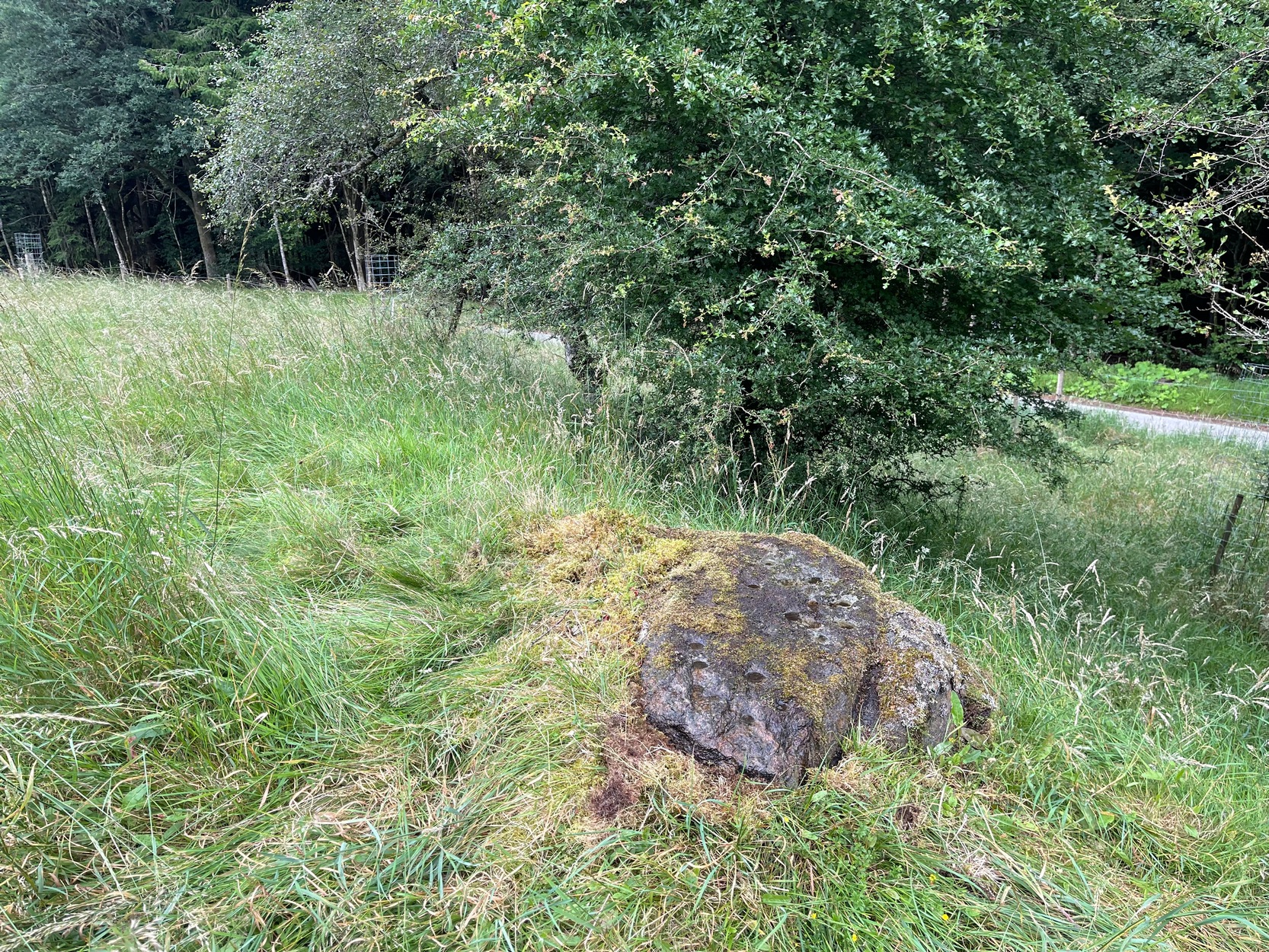
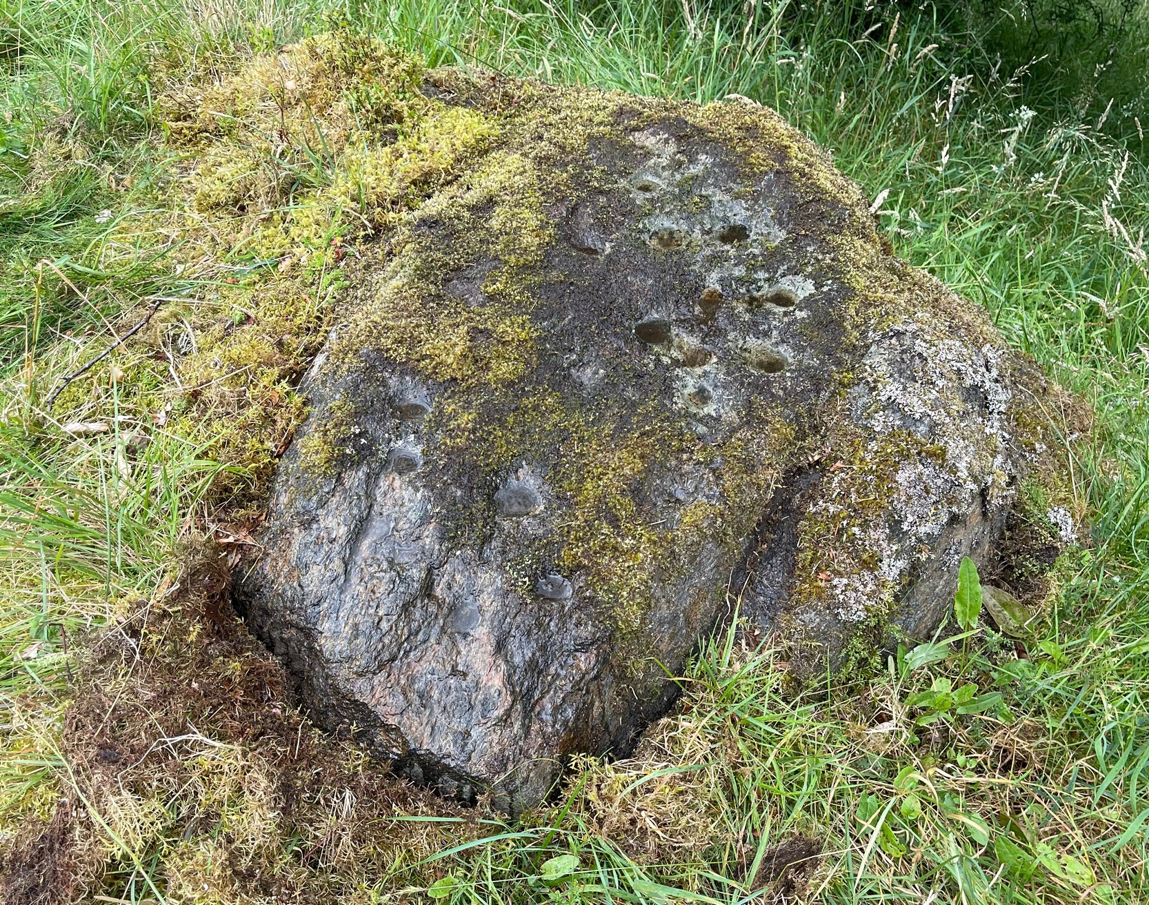
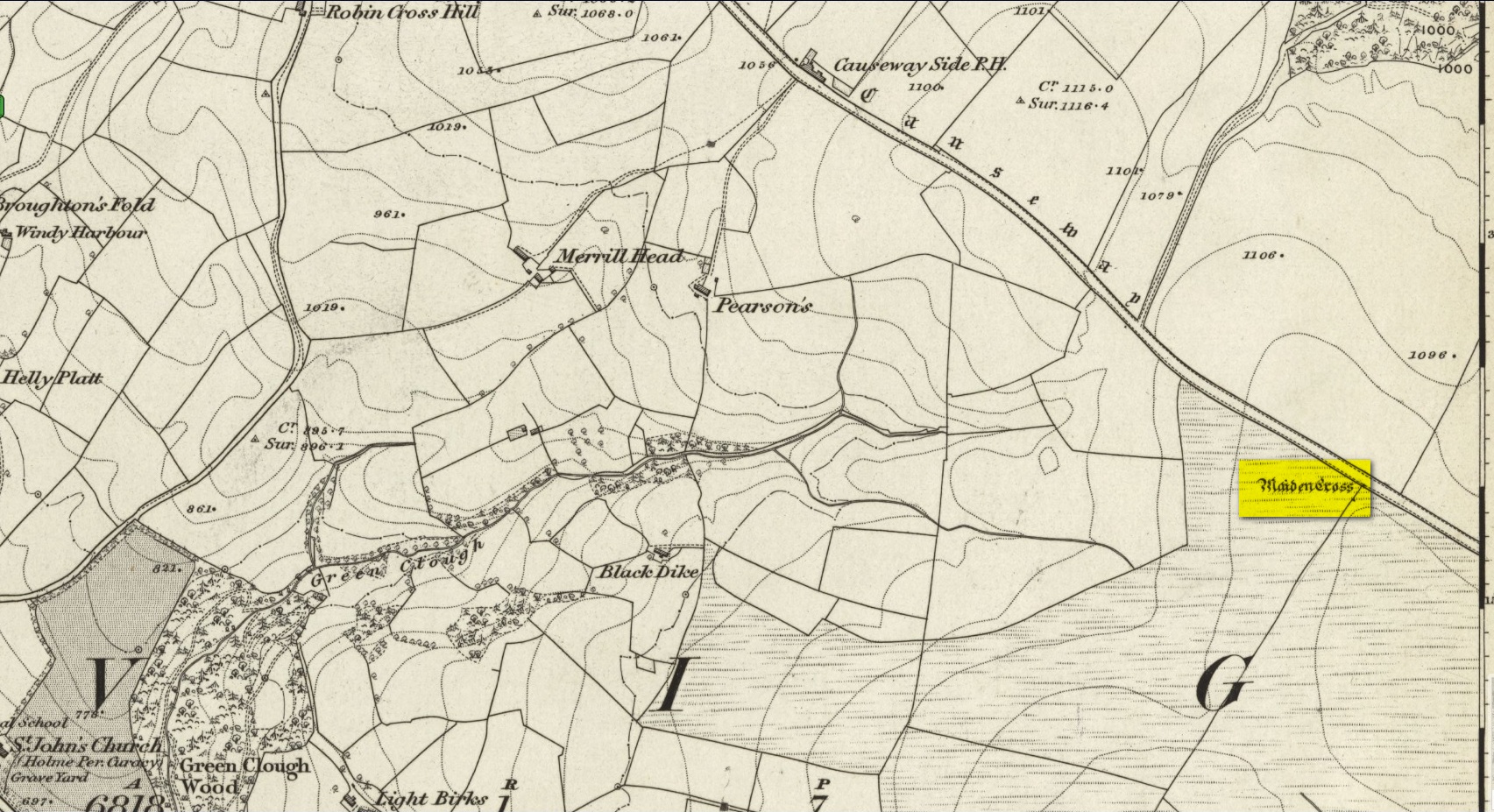
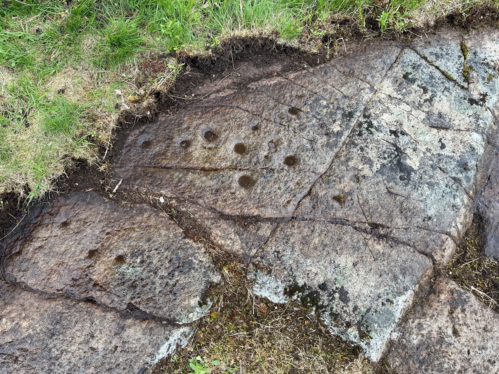
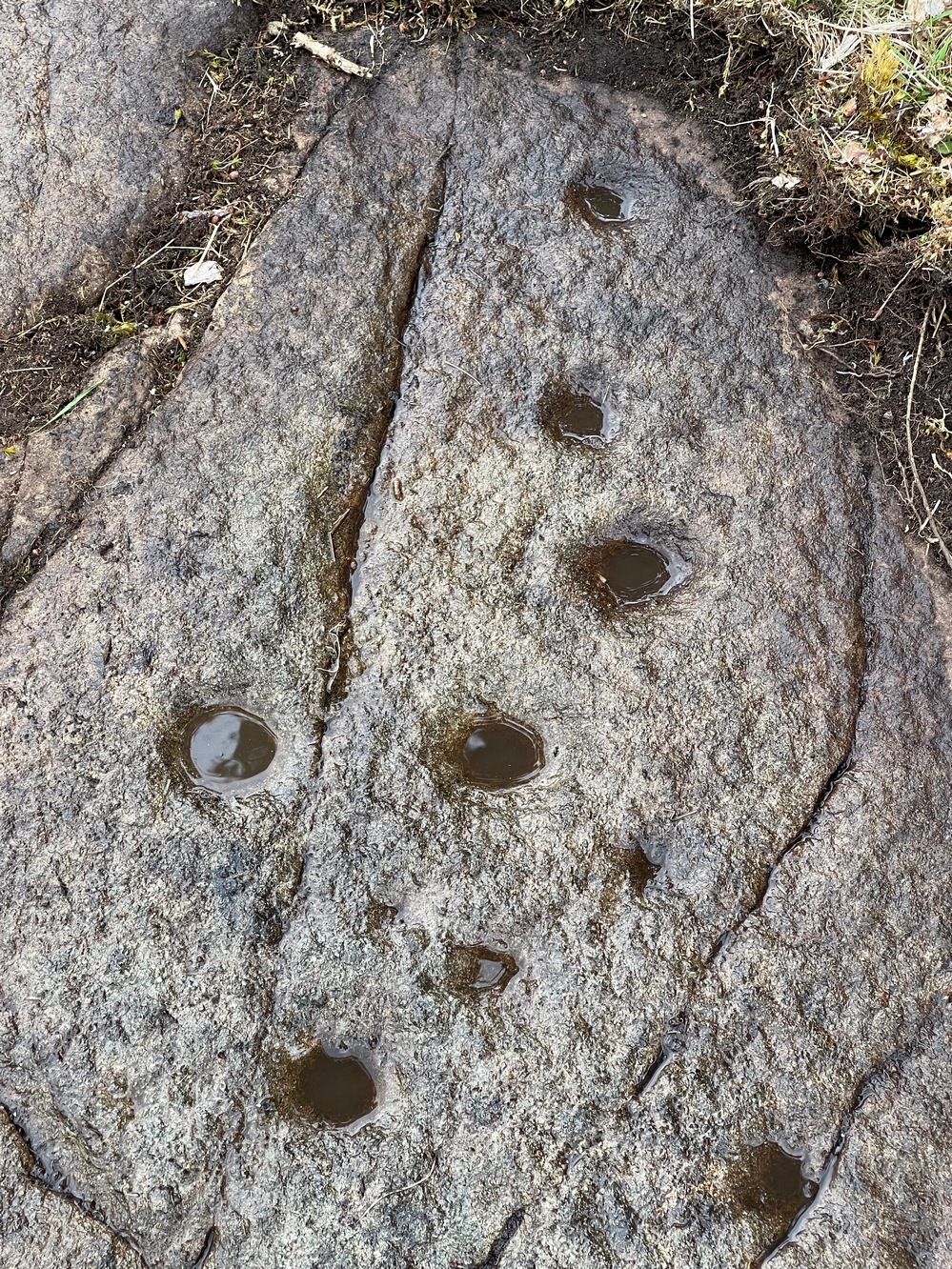
Cup-Marked Stone: OS Grid Reference – NN 82540 45022
Getting Here
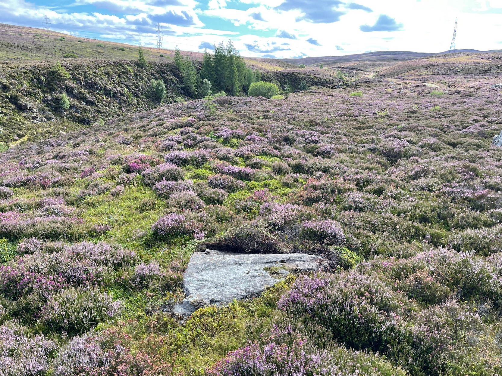
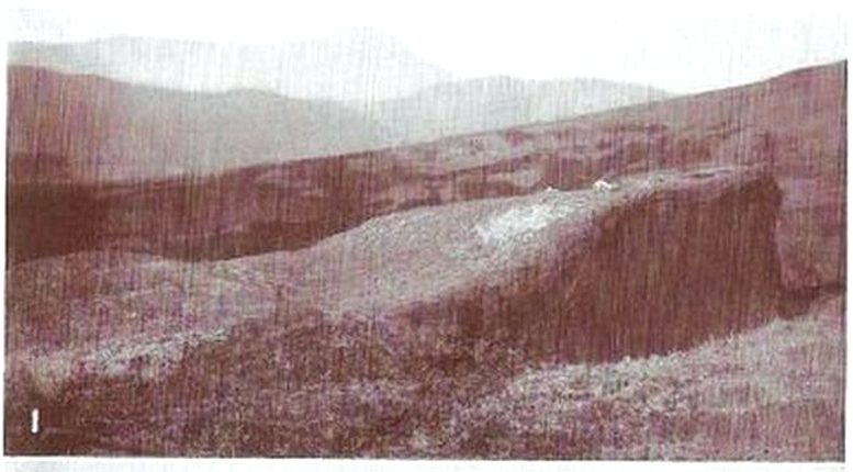
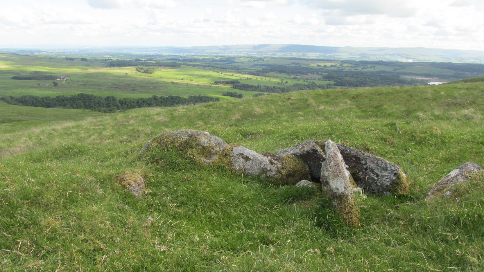
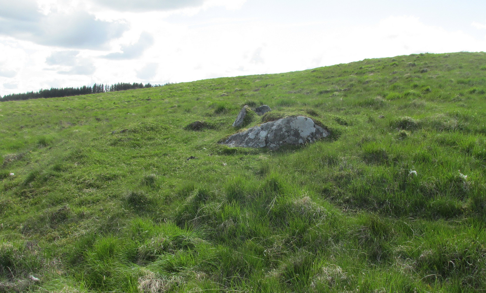
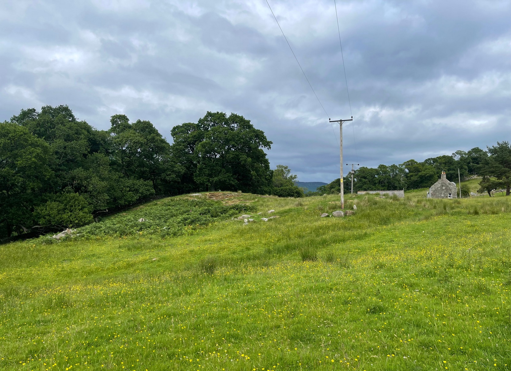
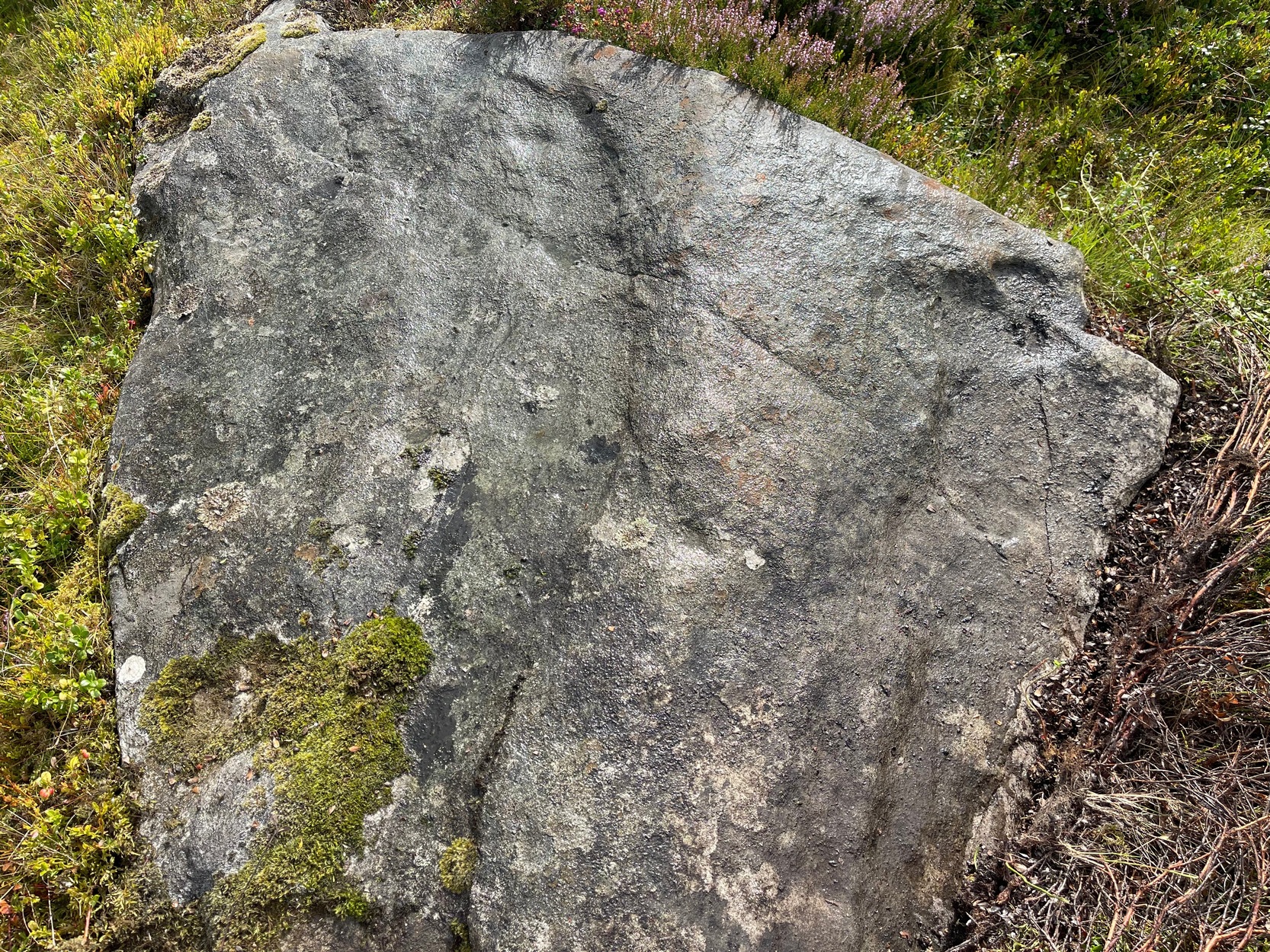
Take the A826 Crieff Road uphill for 275 yards then turn right up the Urlar Road. It’s a long uphill walk from here, up the private road, through and past Urlar Farm and along the track (keeping to the west-side of the burn), past the impressive Urlar Burn (8) carving, until you eventually reach the bothy, 3¼ miles (5.2km) up from where you first turned off the A826. Walk 70 yards past the bothy then into the heather on your left where a large couch-shaped boulder stands. The carved rock is a couple of yards on the floor in front of you.
Archaeology & History
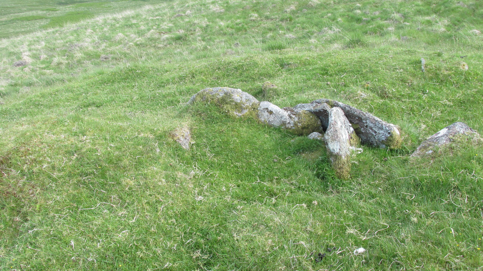
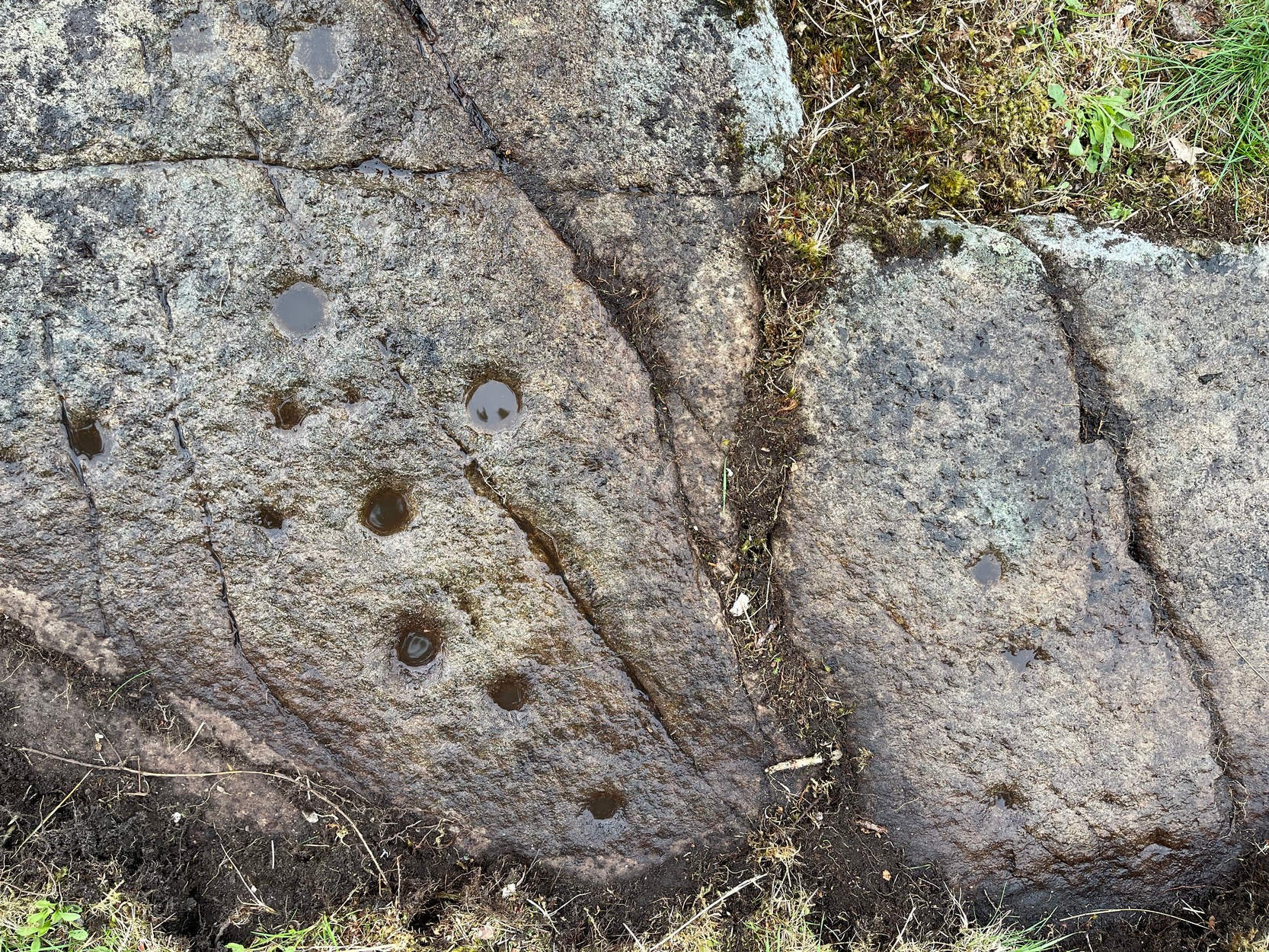
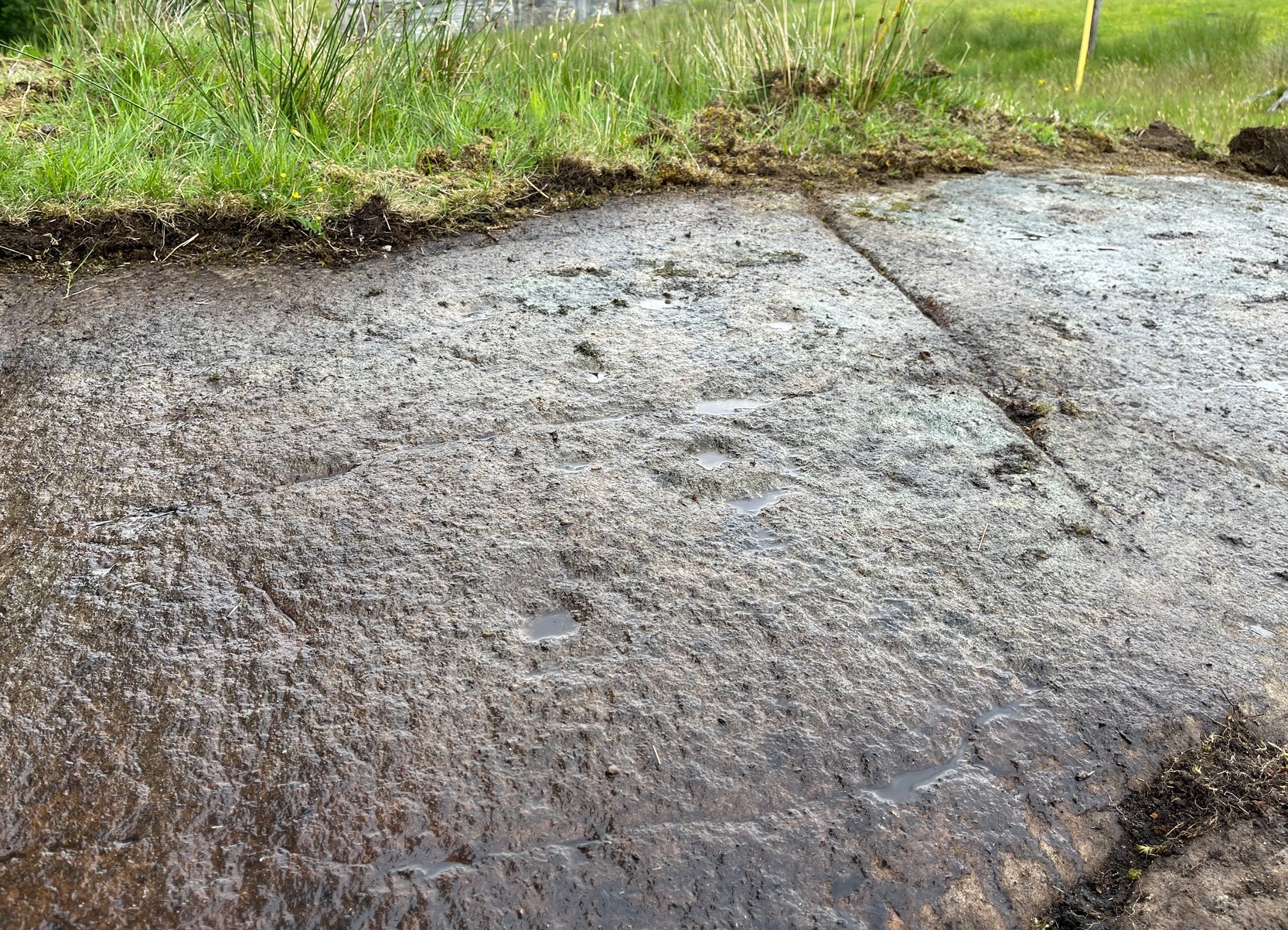
An unimpressive faint cup-marked stone consisting of between two and five shallow cups that are difficult to make out unless lighting conditions are good – and even then they’re troublesome! It was first noted by George Currie (2009) how described it simply as: “a rock 2.0 x 1. x 0.2m between Urlar Burn and Hill Park track bears five cup marks.” There are much more impressive carvings in this neck o’ the woods that you’ll want to see ahead of this one!
Folklore
Although there’s nothing specific about this stone, the burn to the side of the carving was haunted by an old urisk in times gone by: an elemental creature from Scottish fairy lore who inhabited lonely streams and waterfalls. The urisk of Urlar Burn was known as Brunaidh an Easain (his brother, Peallaidh, of greater renown, lived in the gorge of Moness close to Aberfeldy) and was likely to have lived further downstream from here. They are associated in some places with cup-marked stones, where offerings of milk were given to placate them.

References:
- Currie, George, “Perth and Kinross: Dull: Urlar Burn (3),” in Discovery & Excavation Scotland (new series), volume 10, 2009.
© Paul Bennett, The Northern Antiquarian