Fairy Well, Preesall, Overwyre, Lancashire

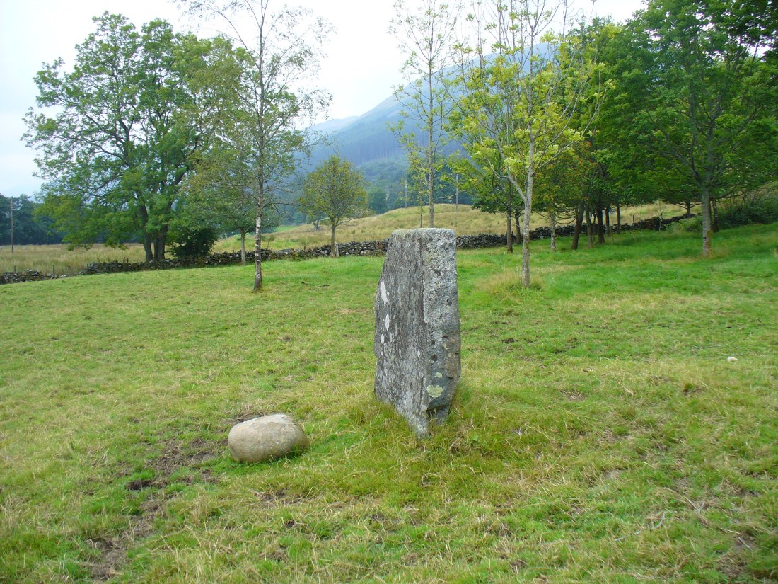
Sacred Well:  OS Grid Reference – SD 36711 47562

Getting Here

Fairy Well is found to the centre below the trees

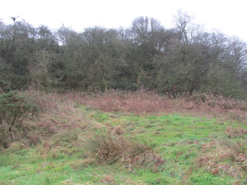
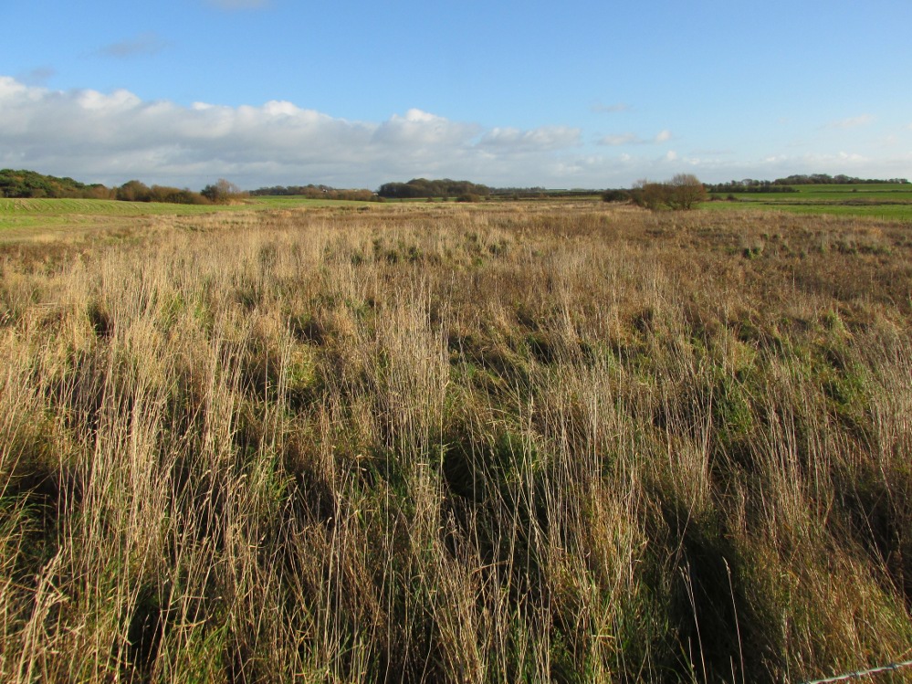
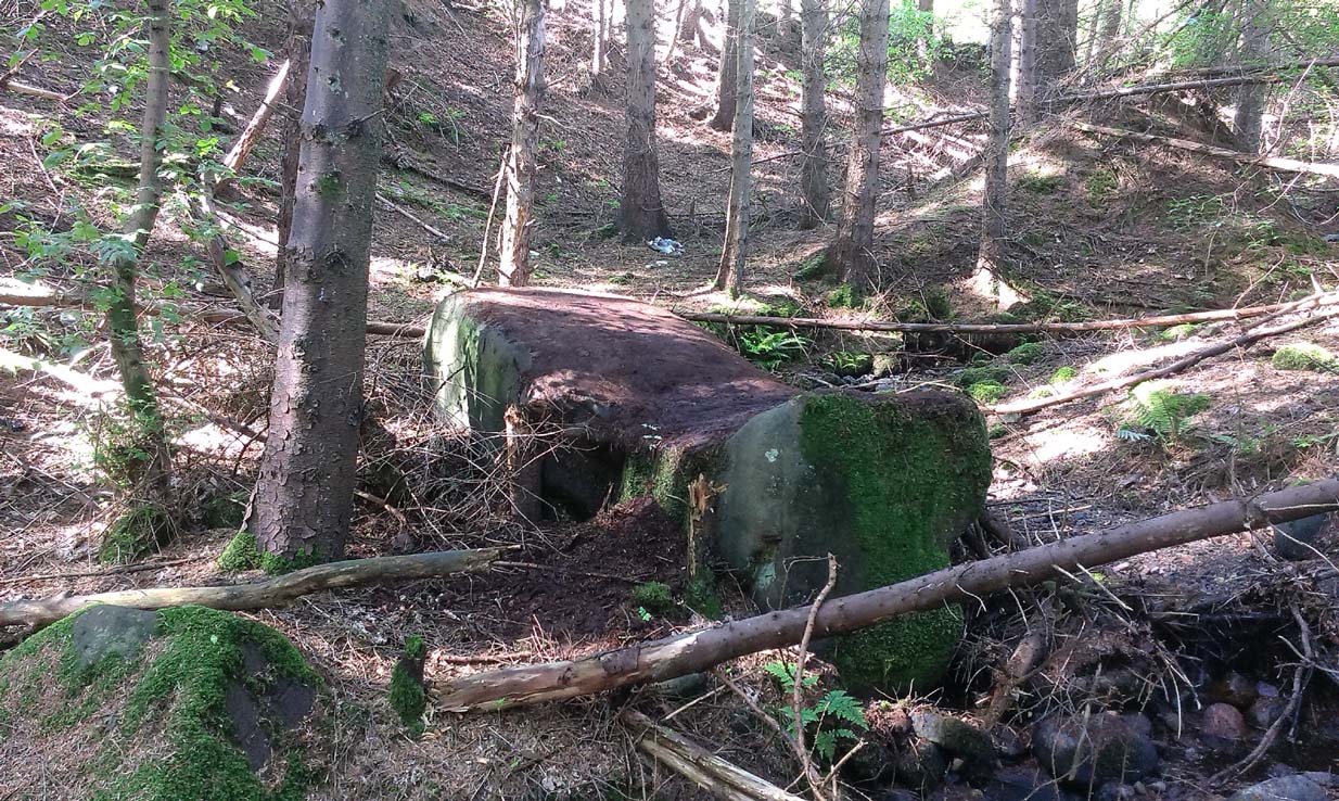
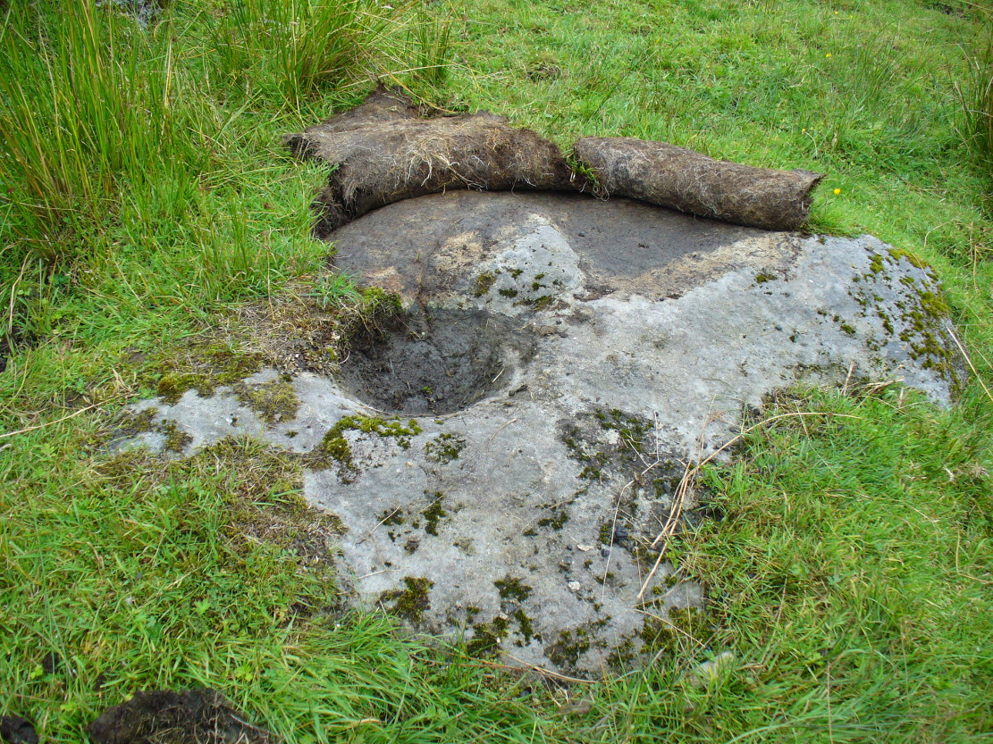
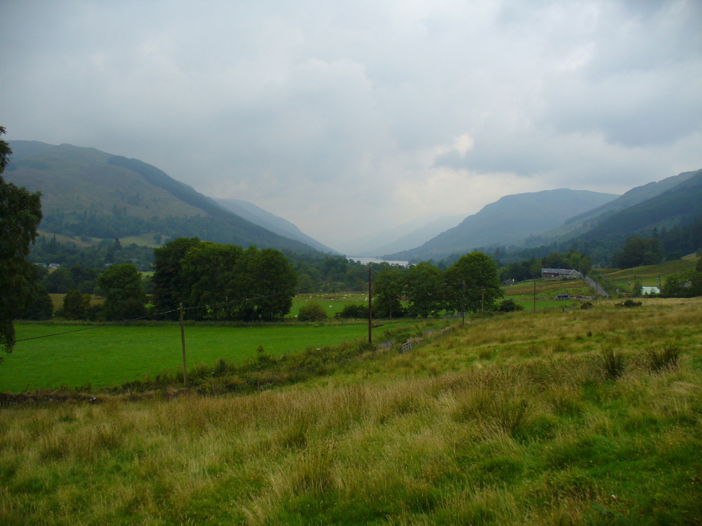
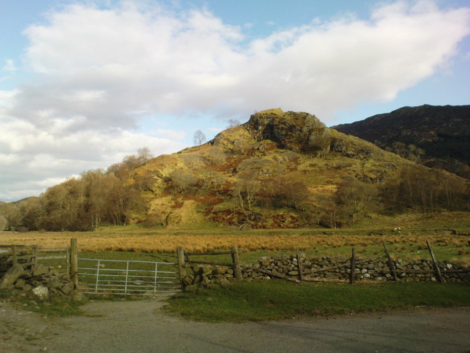
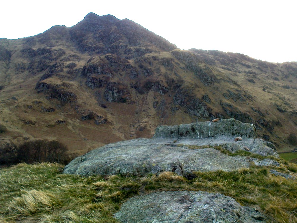
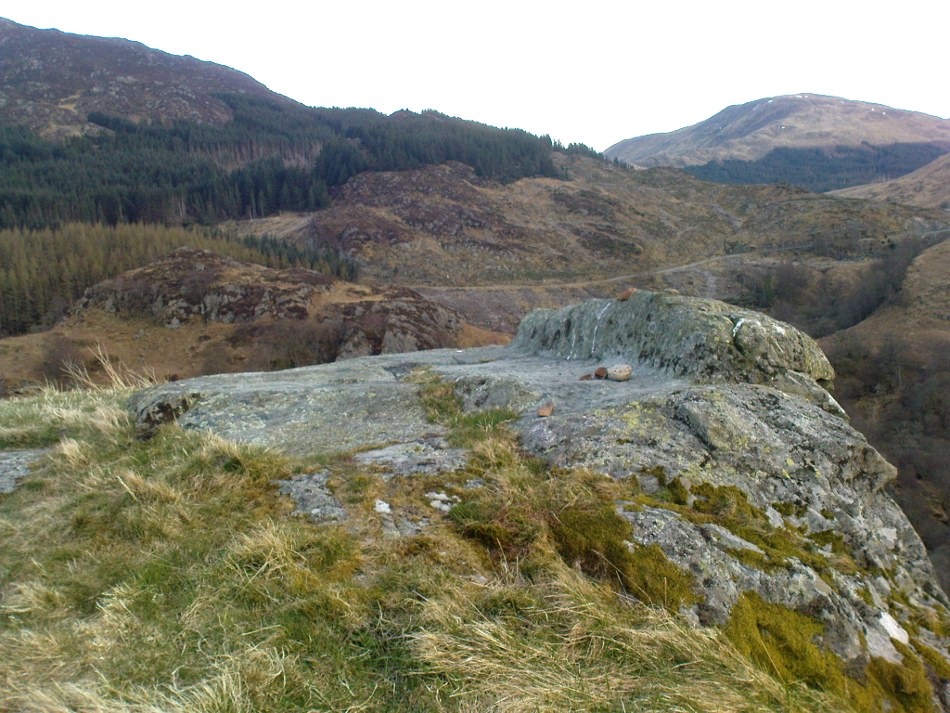
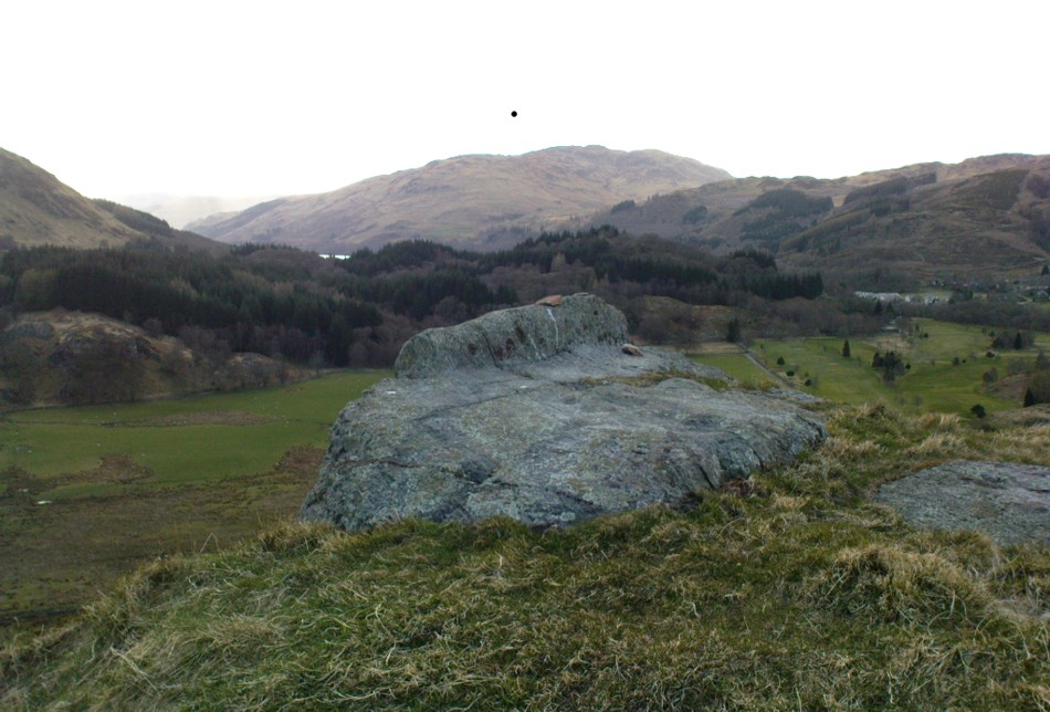
The 6″ OS map of 1913 has a ‘Fairy Well’ marked on the northern edge of Preesall Hill.  Travelling north through the village on the B5377, the Hill is to your right. Immediately past it is a stile, cross over this and go straight on with the hill to your right.  The approximate site of the fairy well is now marked by a boggy area at the foot of the hill.

Archaeology & History

Almost a footnote in Reverend William Thornber’s 1852 paper on the Britons, Saxons and Danes in the Foreland of the Fylde, here is how this site is described by him in the quaint (to our eyes) language of the mid-nineteenth century:

“…the hill of Presal, (the ‘Pressonde’ of Domesday), with its well all but deified; and although the votaries, like those in the pool of Laconia, may not have cast into it cakes of bread-corn to Juno,* yet a bush was named ‘Beggar’s bush,’ from the circumstances of the offerings of rags and clouts being affixed to it, over which a prayer was said; for Bishop Hale ridicules a superstitious prayer for the blessing of clouts for the cure of diseases.”

In addition, the following reference was found on-line:

“…If the travellers had lingered, however, they would observe the inhabitants placing half eggshells on the edge of the Fairy Well at the foot of Preesall Hill; a practice of the local school children even at the beginning of the 20th century. Recording some of the traditions of the country areas of 19th century Wales, Sir John Rhys in his “Celtic Folklore”, mentioned how half eggshells were left out for the fairy folk to use as cooking pots in which to prepare food and brew beer for the reapers at harvest time.”

Close-up of the boggy waters

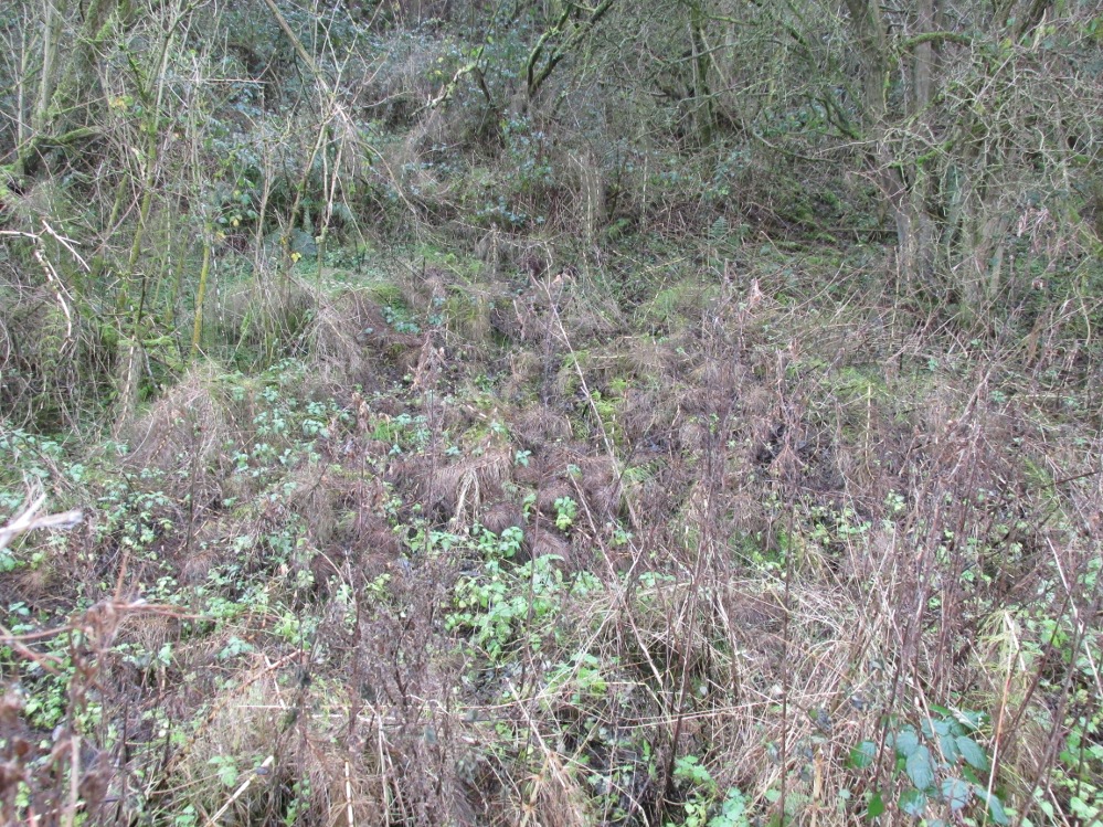
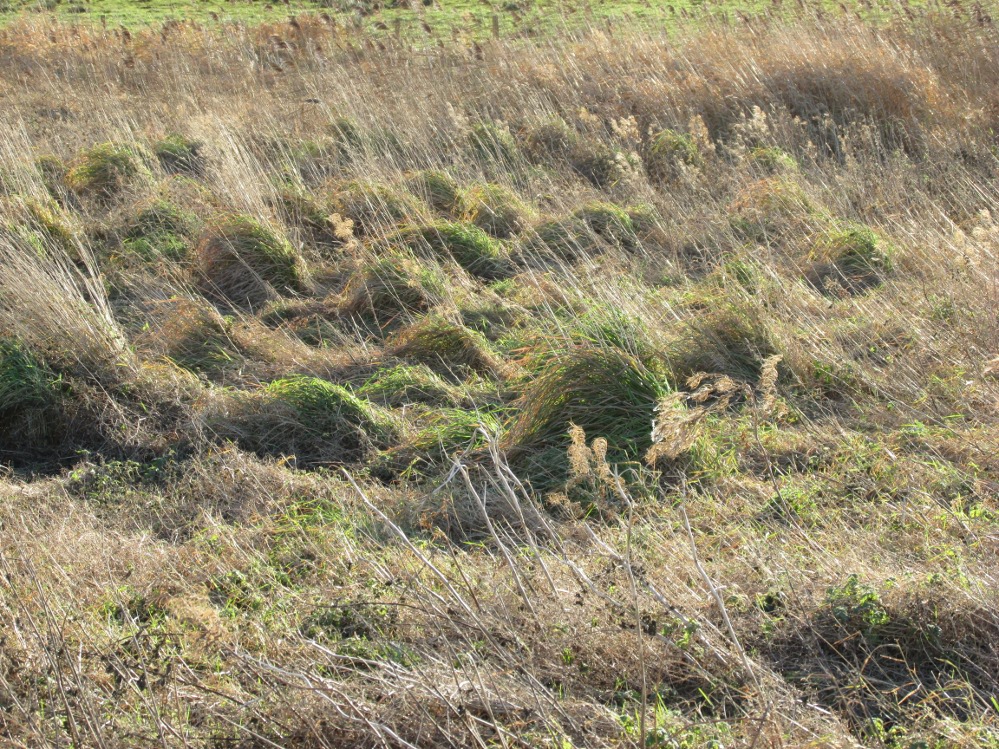
The Beggar’s Bush is long gone, but the red colour of the deposits in the adjoining ditches would indicate a chalybeate (iron-bearing) spring rather than a well, and the northern slope of the hill seems to have become an unofficial children’s play area.  Curiously, at the top of the hill, next to the playground of the Fleetwood’s Charity School, there is a modern ‘beggar’s bush’, festooned with white and yellow plastic strips, in a small nature trail area…

  • * quoted from Borlase, in his Natural History of Cornwall (1758): “…In Laconia they cast into a pool, sacred to Juno, cakes of bread-corn; if they sunk, good was portended; if they swam, something dreadful was to ensue.”
  • ¶  http://www.lancastrians4ever.homecall.co.uk/lancastrians4ever/precha1.htm – Believed to be an online digest of out of print Preesall history publications by Stan Jones

References:

  1. Thornber, William, ‘Traces of the Britons, Saxons and Danes in the Foreland of the Fylde,’ in Proceedings and Papers of the Historic Society of Lancashire and Cheshire, Liverpool 1852.

Acknowledgements: – My thanks to the staff of the Local Studies Department, Borough of Blackpool Library Services for their assistance

© Paul T. Hornby, The Northern Antiquarian


Bull Spring, Staining, Poulton-le-Fylde, Lancashire

Sacred Well:  OS Grid Reference – SD 35569 36707

Getting Here

The boggy ground of the Bull Spring - from the site of possible cairn
The boggy ground of the Bull Spring – from the site of possible cairn

To get here, leave Staining village along Mill Lane, turning right at the windmill along Smithy Lane.  Walk along Smithy Lane, then 2-300 yards past a derelict piggery on the left go into the gated trackway on the right, and Bull Meadow is to the south-east, a boggy area at the western end of OS parcel 356.  Be prepared to cross barbed wire fences.

Archaeology & History

Like the Staining Wrangdomwell or Fairy Spring recorded elsewhere, knowledge of this site owes its historical survival to the writings of Blackpool cleric, Rev. William Thornber (1803 – 1885), who wrote in 1851 about the now forgotton ‘Teanla’ or Hallowe’en bonfire cairns of Hardhorn:

“…but here adjoining the cairns are attached two wells, the one celebrated as Fairy or Wrangdomwell, and the other, issuing from a huge oblong mound of stones, as Bel spring or vulgarly Bull spring, in the Bull meadows, evidently bearing the same name as Beltain Meadow in Blackpool.  Here on this Hardhorn oblong cairn, ceremonies were observed for the purpose of obtaining health to the herds of the farmers of the township – to free the wheat-land from tares, weed &c. – to bring good luck to the votaries, and to enquire into the secrets of futurity.

The ceremony was thus:- first, large fires were lighted, two or three families joining at a circular cairn, the ashes of which were carefully collected. Then the white stones, which at first, had circled the fire were thrown into the ashes, and being left all night, were sought with anxious care at sunrise, when the person who could not distinguish his own particular boulder was considered fey, i.e. some misfortune would happen to him, during the course of the ensuing year¹.

As a finale, the stones recognised were thrown, as an offering, on the oblong cairn to the god or saint who presided over it, and the well, and thus, such collections were made in a succession of years, as to astonish the curious. The water of the wells also had a sovereign virtue for healing the disease of men and cattle….”

The healing procedure at the wells is transcribed in the description of the nearby Fairy Well. Mr Thornber continues:

“The site of the large circular cairn (at Bull Meadow) is not now easily to be distinguished, since Mr. Fisher, the proprietor of the field, has carted away upwards of twenty loads of the refuse that composed it, but the soil around it is burnt red and black. This farce was carried on in its pristine glory long after the reformation; for rational Christianity (sic), which had been almost lost previously, progressed but slowly in the district of the Fylde. Even the waters of Marton Mere (SW of Bull Meadow),…were held sacred.”

Perusal was made of the Schedule to the 1839 Tithe map which revealed a ‘Bull Meadow’, owned and occupied by William Fisher, and from this, its location was able to be identified on the OS map.

Possible source of the waters

Like Wrangdom Well, half a mile to the north-west, the Bull Spring issues from an area of swampy ground, and the exact place of issue was hard to pinpoint when this writer visited in December (see photo the right).  The oblong cairn—if indeed that is what it is—can still be identified, about 2 feet above the marsh, it is firm to stand on but not easy to distinguish owing to the amount of vegetation.

¹ Writing in the January 1883 edition of the The Folk-lore Journal, the Reverend Walter Gregor describes ‘ristin the halla-fire’ a broadly similar Scottish ritual carried on in the Fraserburgh area up to the late 18th century.

References:

  1. Thornber, William, ‘Traces of the Britons, Saxons and Danes in the Foreland of the Fylde,’ in Proceedings and Papers of the Historic Society of Lancashire and Cheshire, Liverpool 1852.
  2. Tithe Map & Schedule Transcript – ‘The Township of Hardhorn with Newton’ Surveyed by Thomas Hull in 1838, with Schedule dated 1839.’

Acknowledgement:  My thanks to the staff of the Local Studies Department, Borough of Blackpool Library Services for their assistance.

© Paul T. Hornby, The Northern Antiquarian


Fairy Well, Staining, Poulton-le-Fylde, Lancashire

Sacred Well:  OS Grid Reference – SD 34908 37119

Also Known as:

  1. Wrangdom Well

Getting Here

The site of the Fairy Well, Staining

One and a half centuries of neglect have not been kind to the Wrangdomwell, which is now in the middle of a large area of swampy land, reached from Staining village along Mill Lane, turning right at the windmill then walking along Smithy Lane.  Just before a derelict piggery on the left go into the field, and Wrong Well Meadow is on the right at the back of the piggery, with the spring issuing from the boggy ground. Be prepared to cross barbed wire fences, and to meet some friendly ponies.

Archaeology & History
Were it not for the researches and writings of an eccentric cleric, this site would almost certainly now be lost to history.  The Reverend William Thornber recorded, in his 1837 History of Blackpool that:

“The fairies of our fathers…were kind good natured creatures, at times seeking the assistance of mortals, and in return liberally rewarding them. They had a favourite spot between Hardhorn and Staining, at a cold spring of water, called Fairies’ Well to this day.”

The legendary waters hide in the rushes

Writing in a paper published in 1851, Thornber described the Fairy Well or Wrangdomwell in the context of the “Teanlas”, the enormous Hallowe’en bonfires (4) that were still at that time being lit at ritual cairns of stones in parts of west Lancashire.  One of these fire cairns once adjoined the Fairy Well, which in 1850 was still being visited for its,

“sovereign virtue for healing the diseases of men and cattle.  To succeed in obtaining a cure, the patient, escorted by his friends, was made to pass through the cairn, then he was sprinkled or dipped in the well, and lastly, he made an offering of a shell, pin, a rusty nail or a rag, but principally three white stones burnt in the Teanla fire. It is surprising in what numbers pieces of iron may be picked up. I have found since the meadows were ploughed, nails, an old shaped knife, leather thongs etc.”

Thornber wrote that the cairn no longer existed, and gave no precise location for the well.

Looking at the area between Hardhorn and Staining on the 1891 25″ OS map revealed only one ‘spring’; in land parcel 295. This parcel of land is recorded in the Schedule to the 1839 Tithe map as ‘Wrong Well Meadow’, occupied by Thomas Dobson, and owned by ‘School of Marton’, a charitable endowment established in 1717.  Adjoining Wrong Well Meadow are Old Meadow and Nickers Meadow (‘Old Nick’?), which might appear to show the Wrangdomwell as in the past having been part of a larger heathen ritual locality. Notwithstanding this, the Church was happy to take its tithe.

References:

  1. Thornber, William, The History of Blackpool, Smith Market Place: Poulton-le-Fylde 1837 (republished in 1985 by the Blackpool and Fylde Historical Society).
  2. Thornber, William, ‘Traces of the Britons, Saxons and Danes in the Foreland of the Fylde,’ in Proceedings and Papers of the Historic Society of Lancashire and Cheshire, Liverpool 1852.
  3. Tithe Map & Schedule Transcript, ‘The Township of Hardhorn with Newton’ Surveyed by Thomas Hull in 1838, with Schedule dated 1839.’
  4. Michelle Harris & Brian Hughes, in their ‘The History of the Wyre from Harold the Elk to Cardinal Allen‘ (4th ed. 2007) p35, write – “According to Tom C. Smith’s ‘History of the Parish of Chipping‘ published in 1891: ‘Teanlaes was the name given to fire celebrations, observed until quite recent years on May 1st, Midsummer Day, August 31st, and November 1st.’ These dates, it should be said, are at variance with Henry Taylor who, in his 1899 publication ‘Ancient Crosses of Lancashire’, quotes Atticus as saying: ‘The ceremony observed on Teanlow night, the last night of October, consisted of making bonfires on all the neighbouring hills.'”

AcknowledgementsMy thanks to the staff of the Local Studies Department, Borough of Blackpool Library Services for their assistance.

© Paul T. Hornby, The Northern Antiquarian


Deil’s Cradle, Dollar, Clackmannanshire

Legendary Rock:  OS Grid Reference – NS 9686 9906

Also Known as:

  1. Devil’s Cradle

  2. Devil’s Rock

Folklore

The Deil’s Cradle stone

A few hundred yards below the legendary old Wizard’s Stone, we find there’s a real cluster of witch-lore in the small area to the north of Dollar which, to be honest, is deserving of wider analysis from competent researchers and historians.  Not only is there the legendary Lochy Launds of the Black Goddess hereby, but we also find this curious rock, described by one ‘J.C.’  in an early edition of the Scottish Journal (1848), which told:

“On the confines of the parish of Dollar, not far from Hillfoot, the seat of John McArthur Moir, Esq., lies a glen, called Burngrens, watered by a small stream and planted with numerous large trees.  A great number of these, however, have fallen, during the last few years, beneath the unsparing axe; but strong, healthy saplings are rising rapidly to supply their place.

“In this glen there is a large stone, of peculiar formation, in every way like a cradle. It is currently believed by the superstitious in the vicinity, that the stone, every Hallowe’en night, is raised from its place, and suspended in the air by some unseen agency, while “Old Sandy,” snugly seated upon it, is swung backwards and forwards by his adherents, the witches, until daylight warns them to decamp.

The following rather curious affair is told in connection with the “Cradle:”

“One Hallowe’en night a young man, who had partaken somewhat freely of the intoxicating cup, boasted before a few of his companions that he would, unaccompanied, visit the stone. Providing himself with a bottle, to keep his courage up, he accordingly set out.  The distance not being great, he soon reached his destination.  After a lusty pull at the bottle, he sat down upon the “Cradle,” boldly determined to dispute the right of possession, should his Satanic majesty appear to claim his seat. Every rustle of a leaf, as the wind moaned through the glen, seemed to our hero as announcing the approach of the enemy, and occasioned another application to fortifying “bauld John Barleycorn.” Overpowered at last by repeated potations, our hero, dreaming of “Auld Nick,” and his cohort of “rigwuddie hags,” fell sound asleep upon the stone.

“His companions, who had followed him, now came forward. With much shouting and noise, they laid hold of him, one by the head and another by the feet, and carrying him, half-awake, to the burn, dipped him repeatedly, accompanying each immersion with terrific yells. The poor fellow, thinking a whole legion of devils were about him, was almost frightened to death, and roared for mercy so piteously that his tormentors thought proper to desist. No sooner had our hero gained his feet than he rushed up the glen, and ran home, resolving never to drink more, or attempt such a feat again. For many a long day he was ignorant who his tormentors really were.

“We stood upon the stone about a week ago. Ivy and moss are slowly mantling over it, a proof that it is some considerable time since the Devil has been rocked on it.”

Historian Angus Watson (1995) told the place to be “south of Wizard’s Stone…near Kelty Burn,” and also that,

“it is said to be where witches rock Satan to sleep on Halloween.”

Above here, the tree-topped rounded hill to the north was one of the meeting places of the witches of Fife, Perthshire and Clackmannan.  Something of sincere pre-christian ritual importance was undoubtedly enacted in this region, as we also find sites of the Maiden a short distance due north.  Does anyone know more about this fascinating sounding place?

References:

  1. ‘J.C.,’ “The Deil’s Cradle”, in The Scottish Journal, February 5, T.G. Stevenson: Edinburgh 1848.
  2. Simpkins, John Ewart, County Folklore – volume VII: Examples of Printed Folk-Lore Concerning Fife, with some Notes on Clackmannan and Kinross-Shires, Folk-Lore Society: London 1914.
  3. Watson, Angus, The Ochils: Placenames, History, Tradition, PKDC: Perth 1995.

© Paul Bennett, The Northern Antiquarian


Puidrac, Balquhidder, Perthshire

Standing Stone:  OS Grid References – NN 54058 20794

Also Known as:

  1. Canmore ID 24141

Getting Here

Puidrac Stone, looking SE

From Balquhidder village, take the road east towards Auchtubh as if you’re gonna visit the Priest’s Stone, just past the house of Tom na Cruich on the right-hand side of the road. When you get to the house, if you ask the owners there how best to get to the stone, they are very friendly and very helpful in pointing you in the right direction.

Archaeology & History

This solitary standing stone first seems to be mentioned in J.W. Gow’s (1887) essay on the prehistoric antiquities of this part of Rob Roy’s country.  Found below the house and hillock where the old gallows used to be, he told:

“On the level ground below (Tom na Croich) …there is a prominent monolith, standing about 4½ feet above ground, quite flat, on the top. It is shaped like a wedge, with the edge to the east, and is famous in Balquhidder as the place where trials of strength took place.”

Note the stones in the next field
Note the stones in next field
Puidrac Stone, looking north
Puidrac Stone, looking N

Below the standing stone is a small rock, whose predecessor played an important part in some local traditions relating to this site. (see ‘Folklore’ below)  Also, due west of here in the next field, you will be able to see a couple of seemingly upright stones in the tall reeds 200 yards away, which early records say were part of a stone circle—now much in ruin—known as Clachan Aoraidh or the Worshipping Stones.  There is the possibility that this single stone was an outlier to the circle.  It’s astronomy might be worth checking….

Folklore

When we visited the stone last week, the owners of the house above asked if we’d managed “to lift the stone”—and I wondered what they meant at first, until they told us the folklore about the site.  They narrated the tale almost exactly as it had been described first of all in J.W. Gow’s (1887) essay, which said the following:

A new ‘lifting stone’ in front of Puidrac

“It is shaped like a wedge, with the edge to the east, and is famous in Balquhidder as the place where trials of strength took place.  A large round water-worn boulder, named after the district, ‘Puderag’, and weighing between two and three hundredweight, was the testing stone, which had to be lifted and placed on the top of the standing stone. There used to be a step about 18 inches from the top, on the east side of the stone, on which the lifting stone rested in its progress to the top. This step or ledge was broken off about thirty years ago, as told to me by the person who actually did it, and the breadth of the stone was thereby reduced about 8 inches. This particular mode of developing and testing the strength of the young men of the district has now fallen into disuse, and the lifting-stone game is a thing of the past.  A former minister of the parish pronounced it a dangerous pastime.  Many persons were permanently injured by their efforts to raise the stone, and it is said that he caused it to be thrown into the river, but others said it was built into the manse dyke, where it still remains.  There were similar stones at Monachyle, at Strathyre, and at Callander, and no doubt in every district round about, but the man who could lift ‘Puderag’ was a strong man and a champion.”

The present stone that is positioned on the ground below the standing stone was put here in much more recent times.

References:

  1. Gow, James M., “Notes in Balquhidder: Saint Angus, Curing Wells, Cup-Marked Stones, etc”, in Proceedings of the Society of Antiquaries Scotland, volume 21, 1887.

AcknowledgementsTo Kenny and Laura for their help and guidance here. Huge thanks!

© Paul Bennett, The Northern Antiquarian


Basan an Sagairt, Balquhidder, Perthshire

Cup-Marked Stone:  OS Grid Reference – NN 5419 2089

Also Known as:

  1. Canmore ID 24140
  2. Priest’s Basin

Getting Here

The carved bowl of Basan an Sagairt

From Balquhidder village, take the road east towards Auchtubh as if you’re heading to the Clach nan Sul or Wester Auchleskine cup-marked stones. Before reaching either of these sites, a few hundred yards on the road as you pass Tom na Cruich on the right-side of the road, you need to look in the next field past this house.  About 40 yards past here in the field, and less than 10 yards from the wall, you can see the large rock from the roadside.  If not, you’re damn close! Ask the owners of the adjacent house, who are very friendly and helpful.

Archaeology & History

This curious, large, man-made cup-marking or bowl was first described in J.M. Gow’s (1887) essay on Balquhidder antiquities. He wrote:

“Regaining the high road, and still going east, about 40 yards from the cottage of Mr Macdiarmid, there lies just inside the road dyke a large five-sided stone, about 8 feet long by 5 feet broad at the broadest part, and about 2 feet above ground.  It is called “Basan an Sagairt” (the Priest’s Basin).  When the present road and dyke were made, its name must have saved it.  The hollow or basin is 18 inches in diameter and 6 inches deep, and is unmistakably artificial. The stone is the mica slate of the district, hard and granitic.”

Looking down on the basin

The large bowl here was also deemed to be artificial by members of Ordnance Survey and Royal Commission archaeologists who have inspected the site.  It is thought to have been a healing stone of some sort, or at least possessed some religious function, but we have no records stating this with any certainty.  In examples similar to this, the water which collects in the carved bowl is deemed to have curative properties.  It may have been a christian attempt to take locals away from magickal healing stone practices enacted at the Clach nan Sul, or Stone of the Eyes, just a couple of hundred yards along the road east of here.  Or it may have being a stone used by indigenous medicine men for other medicinal purposes.

Carved stone in one of the fields across the road

On the other side of the road from here, in the field immediately past Wester Auchleskine farm, as you go through the gate just ahead of you is a rounded earthfast stone with a similar man-made circular impression like the Priest’s Basin carved upon it. (NN 5451 2089) However, this carving doesn’t appear to have been finished.  Whether it has any mythic relationship to the Priest’s stone or the cupmarked rocks at Wester Auchleskine in the same field, is not known.

References:

  1. Gow, James M., “Notes in Balquhidder: Saint Angus, Curing Wells, Cup-Marked Stones, etc”, in Proceedings of the Society of Antiquaries Scotland, volume 21, 1887.

© Paul Bennett, The Northern Antiquarian


Clach nan Sul, Balquhidder, Perthshire

Cup-Marked Stone (destroyed):  OS Grid Reference – NN 5456 2084

Also Known as:

  1. Canmore ID 24150
  2. Stone of the Eyes

Archaeology & History

Looking down Balquhidder Glen from the Clach nan Sul's old home
Looking down Balquhidder Glen from Clach nan Sul’s old home

Apparently destroyed, although some remains of the stone were said to be seen in the walling by the roadside; but when visiting this spot a few days ago the summer vegetation had completely covered any potential finds here.  The stone fell foul of the usual self-righteous industrialists when the track alongside which it had sat for countless centuries was turned into a road and the stone was “blasted”.  It was found some 20 yards below the large cup-marked stone known as Wester Auchleskine, seen amidst the clump of rocks in the field above.

The stone was described in MacKinlay’s (1893) fine survey on Scottish holy wells due to the healing properties of the waters that collected into the rock basin here.  The earliest record of the site that I’ve found comes from the hallowed papers of the Scottish Society of Antiquaries, where—in J.M. Gow’s (1887) rambles just east of Balquidder—he told us the following:

“Going still further east to the first turning of the road beyond the farmhouse of Wester Auchleskine, and on the left-hand side, there used to be a large boulder with a natural cavity in its side, famous as a curing well for sore eyes.  This stone was called “Clach nan sul” (the Stone of the Eyes).  In 1878 the road trustees caused it to be blasted, as it was supposed to be a danger in the dark to passing vehicles.  Its fragments were broken up, and used as road metal.”

Whether or not the site known as the Priest’s Basin, or Basan an Sagairt—a couple of hundred yards west by the roadside—was of a similar nature, or an attempt by christians to draw people away from the old healing Clach nan Sul and use this other one instead, we do not know.  There are numerous accounts of other stones in this mountainous region of Scotland where rocks-with-hollows filled with water were attributed with healing properties, like the Whooping Cough Stone at Struan, the Measles Stone at Fearnan, and many others.

Folklore

The folklore described by Mr Gow was reiterated in MacKinlay’s (1893) survey. He also told how,

“The hollow in the Clach-nan-Sul at Balquhidder…contained small coins placed there by those who sought a cure for their sore eyes. Mr J. Macintosh Gow was told by some one in the district that ‘people, when going to church, having forgotten their small change, used in passing to put their hands in the well and find a coin.’  Mr Gow’s informant mentioned that he had done so himself.”

References:

  1. Gow, James M., “Notes in Balquhidder: Saint Angus, Curing Wells, Cup-Marked Stones, etc”, in Proceedings of the Society of Antiquaries Scotland, volume 21, 1887.
  2. MacKinlay, James M., Folklore of Scottish Lochs and Springs, William Hodge: Glasgow 1893.

© Paul Bennett, The Northern Antiquarian


St. Fillan’s Chair, Dundurn, Comrie, Perthshire

Legendary Rock:  OS Grid Reference – NN 7081 2325

Also Known as:

  1. Canmore ID 24876
  2. Dundurn
  3. Fillan’s Chair
  4. St. Fillan’s Bed

Getting Here

Dundurn, near St. Fillans

Not hard to find. Between the small towns of Comrie and St. Fillans along the A85 road, keep your eyes peeled for the small but rocky crags that rise in front of the background of dramatic mountains not far from the roadside to the south. It looks truly majestic even on a dull day. Just as you reach the eastern edge of St. Fillans village, take the small road over the river-bridge and go to the golf club. Walk past the golf club itself, keeping along the track that leads you to Dundurn hill.  It’s easy enough. Then climb to the very top of the hill where you’ll find this curious, large, flat bed-like rock right in front of you!

Archaeology & History

The rocky bed or 'chair' of St Fillan
St Fillan’s rocky bed or ‘chair’

The archaeological data for St. Fillan’s Chair relates more to the folklore practices of the people upon Dundurn hill than anything else and ostensibly little can be said by such students. The place is more satisfying for geologists than archaeologists, who would adore the rocky fluctuations and geophysical propensities with greater verve than any archaeologist could muster! For this rocky bed-shaped feature is a fascinating structure whose only potential interest to archaeologists are what may be a couple of reduced cup-marks on the top of the stone (and even then, such potential rock art is more the province of religious historians and anthropologists than archaeologists).

Small quartz offerings left on St Fillan's Chair at Beltane
Small quartz offerings left on St Fillan’s Chair at Beltane
The view of the Chair from below
View of the Chair from below

But this ‘bed’ or ‘chair’, as it was locally known, was – and it seems, still is – important in the social history of the area, as its folklore clearly tells.  The ‘chair’ plays an important part in the holistic role of Dundurn as a hill, a fort, a healing centre, an inauguration site, and very probably an omphalos: a sacred centre whereupon the ordination of shamans, kings and the cosmos as a whole was brought to bear here… (these features will be explored in greater depth when I write a singular profile of Dundurn as a ‘fort’).

Folklore

Looking west over St Fillan's Chair
Looking west over St Fillan’s Chair

The character of St. Fillan was described by James Cockburn (1954) as “an Irish Pict” and the “son of a King – his father being Angus mac Nadfraich who died in battle in 490 AD.”  Quite an important dood in his day! The relationship this early christian figure had with this Chair was in its supposedly curative properties.  Yeah…you read it right: curative properties!  As with countless rocks all over the world, some of Nature’s outcrop boulders were imbued with a spirit of their own and, when conditions and/or the cycle of the spirit ‘awoke’, healing attributes could be gained from the place. And such was the case at St. Fillan’s Chair, especially on Beltane morning (May 1).  And some element of this traditional pilgrimage is still done; for when the author Marion Woolley and I visited the site on Mayday 2013, it was obvious that some people had been up earlier that Beltane morning and left some offerings of quartz stones on the top end of the bed.

The earliest written reference of this medicinal virtue was told in the Old Statistical Account of Perthshire (1791):

The rock on the summit of the hill, formed, of itself, a chair for the saint, which still remains. Those who complain of rheumatism in the back, must ascend the hill, sit in this chair, then lie down on their back, and be pulled by the legs to the bottom of the hill. This operation is still performed, and reckoned very efficacious.

More than a hundred years later, the sites was still being used and was described in similar vein in MacKinlay’s (1893) excellent study:

“On the top of green Dunfillan, in the parish of Comrie, is a rocky seat known in the district as Fillan’s Chair. Here, according to tradition, the saint sat and gave his blessing to the country around. Towards the end of last century, and doubtless even later, this chair was associated with a superstitious remedy for rheumatism in the back. The person to be cured sat in the chair, and then, lying on his back, was dragged down the hill by the legs. The influence of the saint lingering about the spot was believed to ensure recovery.”

The origins of this dramatic rite were probably pre-christian in nature and we should have little doubt that St. Fillan replaced the figure of a shaman or local medicine woman of some sort. The ritual “dragging down the hill” may be some faint remnant of initiation rites…

References:

  1. Cockburn, James H., The Celtic Church in Dunblane, Friends of Dunblane Cathedral 1954.
  2. Eliade, Mircea, Rites and Symbols of Initiation, Spring: Woodstock 1995.
  3. Finlayson, Andrew, The Stones of Strathearn, One Tree Island: Comrie 2010.
  4. Hunter, John, Chronicles of Strathearn, David Philips: Crieff 1896.
  5. MacKinlay, James M., Folklore of Scottish Lochs and Springs, William Hodge: Glasgow 1893.
  6. Shearer, John, Antiquities of Strathearn, David Philips: Crieff, 1883.
  7. Skene, William F., Celtic Scotland (3 volumes), Edmonston & Douglas: Edinburgh 1876-1880.
  8. Toulson, Shirley, Celtic Journeys in Scotland and the North of England, Fount: London 1995.

Links:

  1. Nataraja’s Foot: The Curious Incident of Dundurn

© Pual BennettThe Northern Antiquarian


Fortingall Churchyard, Perthshire

Cup-Marked Stone:  OS Grid Reference – NN 7417 4703

Also Known as:

  1. Canmore ID 25003
The stone & the yew
The stone & the yew

Getting Here

Go into the Fortingall churchyard, turning left through the gates (walking across in front of the enclosed sacred yew tree), towards the dip in the walling past the graves.  Go over this wall, turning left and through another small gate.  Immediately through the gate, note the small upright stone on your right, below an offspring of the old yew tree.  That’s the spot!

Archaeology & History

In the legendary churchyard at Fortingall — home to remains from a panoply of beliefs — below the sacred yew tree we find the remains of this hewn piece of stone, recovered from the Earth beneath the roots of the old tree more than 100 years ago.  Upon its crown we see a cluster of cup-markings: Fred Coles (1910) counted 14, I counted 13, the Ordnance Survey boys counted 9, and other surveyors are somewhere in between.

Fred Cole's sketch of the stone
Fred Cole’s sketch of the stone
Photo of the cup-markings

Described and illustrated in the Strathtay rock art survey of Sonia Yellowlees (2004), it seems that the earliest mention of the stone was by our Perthshire megalith hunter Fred Coles (1910).  When he wrote about it, the site had only recently been rediscovered.  He told that he was,

“informed by Rev. W. Camphell, minister of the parish, that in 1903, when some alterations were being made in that portion of the burying-ground belonging to the late Sir Donald Currie of Garth, the workmen came upon this Stone lying at a depth of 8 feet, at a point not many feet distant from the stem of the famous Yew-tree. Noticing the cup-marks on the Stone, the workmen raised it and set it up erect on the site it now occupies, close to the western wall of the Garth burial-ground — about 25 feet from the spot where it was unearthed: In the plan annexed (fig.2) the oblong bounded by the letters A B C D shows the dimensions of the base, and the small cup-marked surface, evidently much broken, and 2 feet 10 inches above ground, shows all that now remains of the work of the prehistoric artificer. There are no rings or grooves, and the cups, except for clearness and neatness of finish, do not present any special features.”

...and another angle.
…and another angle.

Mr Coles then made some intriguing suggestive remarks regarding the position of the carving beneath the ancient yew tree (which to those of you who aren’t aware, is believed to be the oldest yew tree in Europe and has a pagan altar next to it), wondering whether the animistic tradition of the tree had anything to do with the carving itself.  It would certainly make sense.  But there is also the possibility that the carving was brought from elsewhere and placed by the tree at a later date.  We simply don’t know.

References:

  1. Coles, Fred, “Report on Stone Circles Surveyed in Perthshire,” in Proceedings of the Society of Antiquaries, Scotland, volume 44, 1910.
  2. Yellowlees, Walter, Cupmarked Stones in Strathtay, Scotland Magazine: Edinburgh 2004.

© Paul BennettThe Northern Antiquarian 


St. Fillan’s Well, Comrie, Perthshire

Holy Well: OS Grid Reference – NN 7080 2327

Also Known as:

  1. Well of St. Fillans

Archaeology & History

Found by the legendary hill of Dundurn, east of Loch Earn, this legendary healing site has been written about by many historians, both local and national. An early account of it was given by the local priest, Rev. Mr McDiarmid, minister of the parish of Comrie at the end of the 18th century, who informed those compiling the Old Statistical Account of the area, the following information:

“This spring, tradition reports, reared its head on the top of Dun Fholain (Fillan’s Hill) for a long time, doing much good, but in disgust (probably at the Reformation) it removed suddenly to the foot of a rock, a quarter of a mile to the southward, where it still remains, humbled, but not forsaken. It is still visited by valetudinary people, especially on the 1st of May and the 1st of August. No fewer than seventy persons visited it in May and August, 1791. The invalids, whether men, women, or children, walk or are carried round the well three times in a direction Deishal—that is from east to west, according to the course of the sun. They also drink of the water and bathe in it. These operations are accounted a certain remedy for various diseases. They are particularly efficacious for curing barrenness, on which account it is frequently visited by those who are very desirous of offspring. All the invalids throw a white stone on the Saint’s cairn, and leave behind them as tokens of their gratitude and confidence some rags of linen or woollen cloth. The rock on the summit of the hill formed of itself a chair for the Saint, which still remains. Those who complain of rheumatism in the back must ascend the hill, sit in this chair, then lie down on their back, and be pulled down by the legs to the bottom of the hill. This operation is still performed, and reckoned very efficacious. At the foot of the hill there is a basin made by the Saint on the top of a large stone, which seldom wants water even in the greatest drought, and all who are distressed with sore eyes must wash them three times with this water.”

We see from this early account that there’s a discrepancy regarding the location of St. Fillan’s Well, as the modern accounts indicate it to be at the top of the craggy hill. In some upland regions this occurred so as to maintain a sense of secrecy about the location of local sites, so ensuring they were not affected or disturbed by outsiders or incomers, who not only disrespected local customs and rites, but tried changing or altering them to their new ways. It also kept the local gods and spirits of the sites protected from tourism and the profane. This may explain the difference in locations described by Rev. McDiarmid.

About one hundred years after McDiarmid’s account, another priest called Tom Armstrong (1896) wrote a piece in the Chronicles of Strathearn (1896) all about this holy well, saying:

“People are prone to believe that the dirty pool of stagnant water which still remains in the driest summer on the top of St. Fillan’s Hill is the famous spring to which pilgrims at one time resorted. Any one who examines it will not fail to observe that it has all the appearance of an artificially built well, and must have been kept in order and preservation for a purpose. Tradition confirms the belief that this was at one time the well, but not always.”

The hill on which it is found was an ancient dun or fort, built in prehistoric times, making you wonder how far back in time its magickal abilities were known about.

References:

  1. Armstrong, Thomas, “By the Well of St. Fillan,” in Chronicles of Strathearn (David Phillips: Crieff 1896).
  2. Gordon, Seton, Highways and Byways in the Central Highlands, MacMillan: London 1948.
  3. Hunter, John, et al, Chronicles of Strathearn, David Phillips: Crieff 1896.
  4. Morris, Ruth & Frank, Scottish Healing Wells, Alethea: Sandy 1982.

© Paul BennettThe Northern Antiquarian