Lytham Cross, Lytham, Lancashire

Wayside Cross: OS Grid Reference – SD 3603 2718
Getting Here

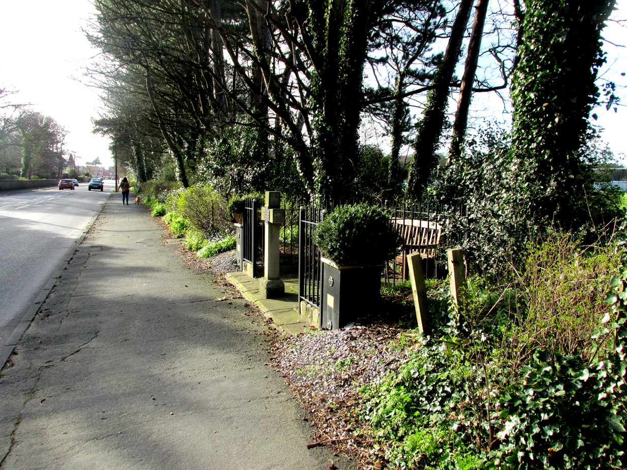
Roadside position of the cross

The cross is situated in a small railed enclosure adjoining the pavement on the North side of Church Road on the west side of Lytham, opposite Lowther Gardens.

Archaeology & History

Henry Taylor (1906), author of The Ancient Crosses And Holy Wells Of Lancashire, writes:

“The old market place of Lytham is triangular in shape…Church Road leads out of it, and not far from the church the pedestal of an ancient cross was at one time to be seen. The words ‘Site of Benedictine Priory’ occur on the map close to Lytham Hall, indicating the position of this small religious house, dedicated to SS Mary and Cuthbert, and subject to Durham.”
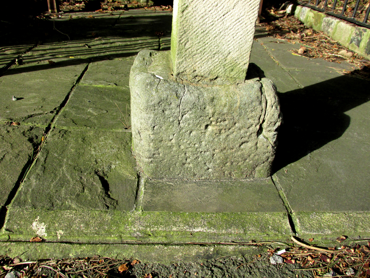
The mediaeval base set into the pavement in 2009

Lieutenant-Colonel Fishwick writes in his History of the Parish of Lytham:

“Not far from the Parish church on the road to Blackpool is still to be seen the stone socket of a cross, and tradition says that it marks one of the resting places of the body of St. Cuthbert when carried to Durham”

All that survives of the mediaeval original is the socketed base, into which a modern carved stone cross has been inserted. A bronze plaque attached to the cross reads:  “According to ancient tradition the body of St Cuthbert about the year 882AD once rested here.”
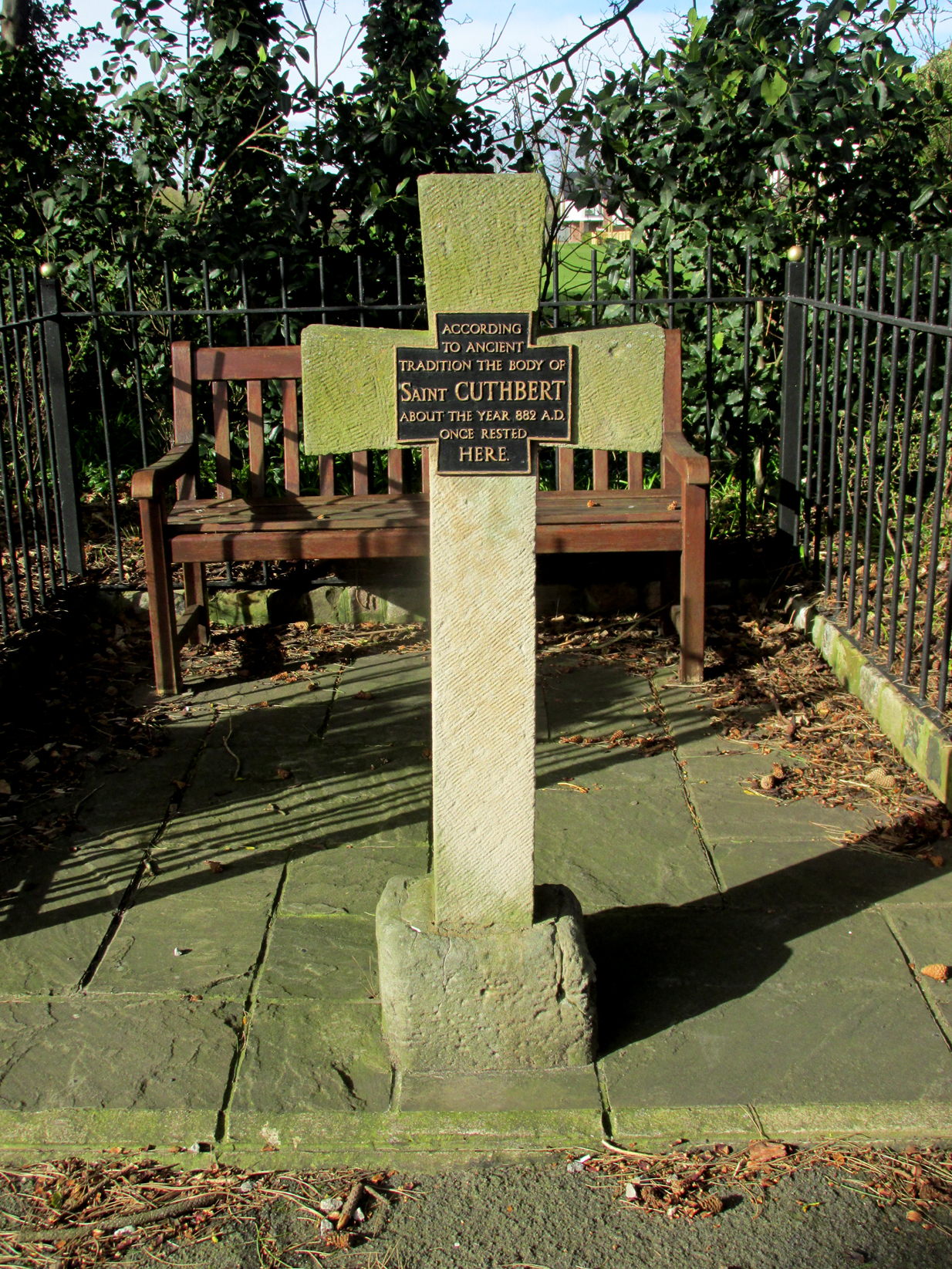
The modern cross with its bronze plaque.

It is not known whether the destruction of the original cross was the handywork of the local ‘Cross Smasher’ Rev. Richard Wilkinson.

According to an online source, The Very Reverend Monsignor Gradley commissioned a painting by Charles E. Turner entitled: ‘The Monks of Lindisfarne arriving at Lytham with the body of St. Cuthbert, A.D. 878’, intended to be hung in St Joseph’s Seminary, Upholland.  Gradley wrote in the October 1889 edition of Merry England magazine:-

” In 875 Halfdene invaded Bernicia, the northern portion of Northumbria, . . . Lindisfarne was no longer a safe place for the monks, and they dared no longer expose their great treasure, the relics of St. Cuthbert, to the ruthless impiety of the northern hordes, With their Bishop Eardulf they set out on a weary pilgrimage of seven years.… From Yorkshire they proceeded to Lancashire, and as we find that the holy relics rested at Mellor, near Blackburn, we may suppose they would journey through Ribblesdale, passing on their way the ruined city of Bolmetonacae, the modern Ribchester. They were a numerous company, for besides the venerable Bishop Eardulf there were the Abbot of Carlisle, the monks of Lindisfarne, and many of the natives of that island. In going to Lytham it is probable the party would pass through Preston, where a few houses had gathered about the church built in honour of St. Wilfrid, the great contemporary of St. Cuthbert.
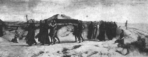
‘The Monks of Lindisfarne arriving at Lytham with the body of St. Cuthbert, A.D. 878’, by Charles E. Turner.

Their way from Preston to Lytham lay through a country abounding in forest and fen. But they would have the advantage of the old Roman road as far as Kirkham. However, the pilgrims met with a hospitable reception, and to this day Lytham is the seaside home of St. Cuthbert on our western coast.”

A small plaque on an adjacent bench records that the cross was re-dedicated by the Very Reverend Michael Sadgrove, M.A., Dean of Durham on Sunday 6th September 2009.

References:

  1. Taylor, Henry, The Ancient Crosses and Holy Wells of Lancashire, Manchester, Sherratt and Hughes, 1906.
  2. Fishwick, Lieutenant-Colonel, The History of the Parish of Lytham in the County of Lancaster, Manchester, The Chetham Society, 1907.
  3. Gradley, Most Reverend Monsignor, Article in the October 1889 edition of Merry England magazine, abstracted by www.amounderness.co.uk

Acknowledgements:  With thanks to Sue Ybarras for directing me to this site.

© Paul T. Hornby, The Northern Antiquarian 2017

Bull Spring, Staining, Poulton-le-Fylde, Lancashire

Sacred Well:  OS Grid Reference – SD 35569 36707

Getting Here

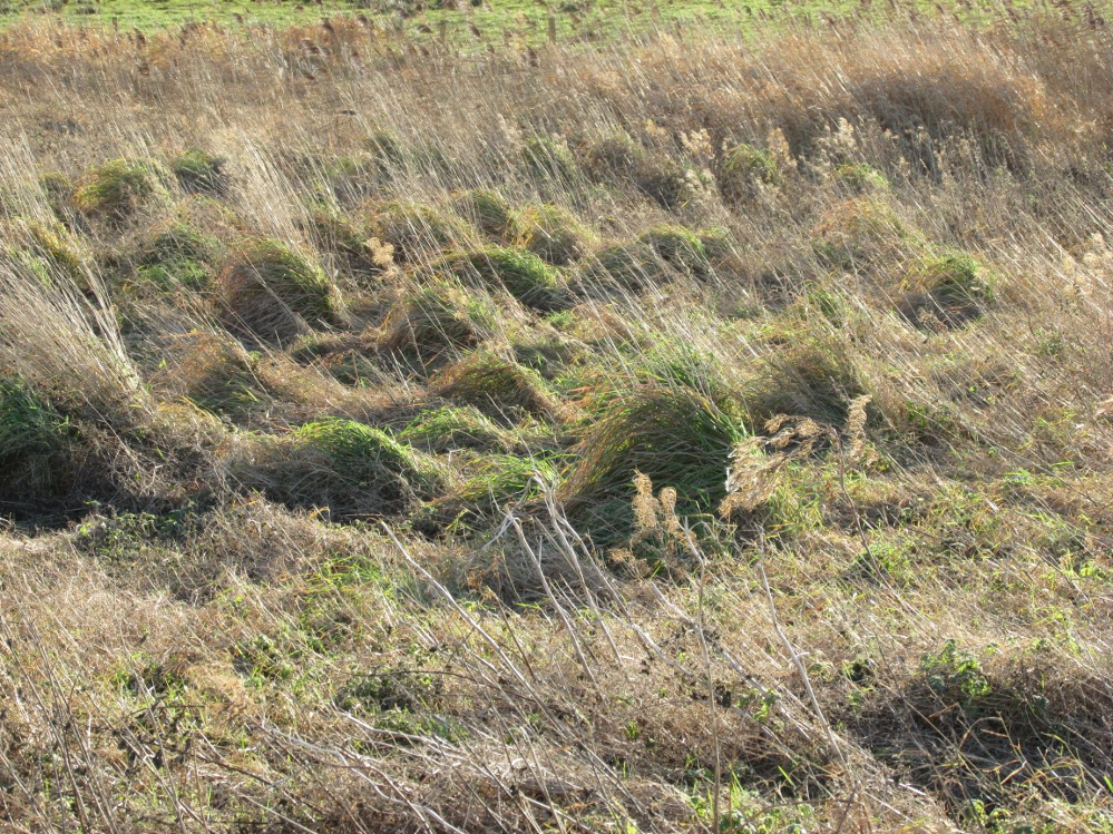
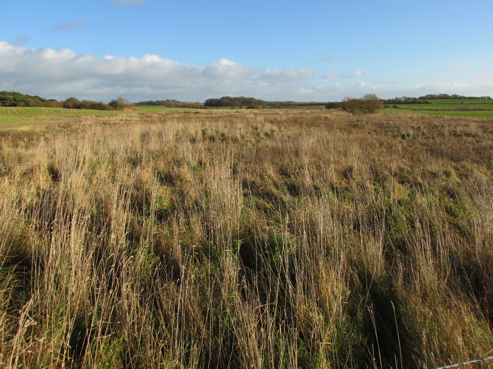
The boggy ground of the Bull Spring - from the site of possible cairn
The boggy ground of the Bull Spring – from the site of possible cairn

To get here, leave Staining village along Mill Lane, turning right at the windmill along Smithy Lane.  Walk along Smithy Lane, then 2-300 yards past a derelict piggery on the left go into the gated trackway on the right, and Bull Meadow is to the south-east, a boggy area at the western end of OS parcel 356.  Be prepared to cross barbed wire fences.

Archaeology & History

Like the Staining Wrangdomwell or Fairy Spring recorded elsewhere, knowledge of this site owes its historical survival to the writings of Blackpool cleric, Rev. William Thornber (1803 – 1885), who wrote in 1851 about the now forgotton ‘Teanla’ or Hallowe’en bonfire cairns of Hardhorn:

“…but here adjoining the cairns are attached two wells, the one celebrated as Fairy or Wrangdomwell, and the other, issuing from a huge oblong mound of stones, as Bel spring or vulgarly Bull spring, in the Bull meadows, evidently bearing the same name as Beltain Meadow in Blackpool.  Here on this Hardhorn oblong cairn, ceremonies were observed for the purpose of obtaining health to the herds of the farmers of the township – to free the wheat-land from tares, weed &c. – to bring good luck to the votaries, and to enquire into the secrets of futurity.

The ceremony was thus:- first, large fires were lighted, two or three families joining at a circular cairn, the ashes of which were carefully collected. Then the white stones, which at first, had circled the fire were thrown into the ashes, and being left all night, were sought with anxious care at sunrise, when the person who could not distinguish his own particular boulder was considered fey, i.e. some misfortune would happen to him, during the course of the ensuing year¹.

As a finale, the stones recognised were thrown, as an offering, on the oblong cairn to the god or saint who presided over it, and the well, and thus, such collections were made in a succession of years, as to astonish the curious. The water of the wells also had a sovereign virtue for healing the disease of men and cattle….”

The healing procedure at the wells is transcribed in the description of the nearby Fairy Well. Mr Thornber continues:

“The site of the large circular cairn (at Bull Meadow) is not now easily to be distinguished, since Mr. Fisher, the proprietor of the field, has carted away upwards of twenty loads of the refuse that composed it, but the soil around it is burnt red and black. This farce was carried on in its pristine glory long after the reformation; for rational Christianity (sic), which had been almost lost previously, progressed but slowly in the district of the Fylde. Even the waters of Marton Mere (SW of Bull Meadow),…were held sacred.”

Perusal was made of the Schedule to the 1839 Tithe map which revealed a ‘Bull Meadow’, owned and occupied by William Fisher, and from this, its location was able to be identified on the OS map.

Possible source of the waters

Like Wrangdom Well, half a mile to the north-west, the Bull Spring issues from an area of swampy ground, and the exact place of issue was hard to pinpoint when this writer visited in December (see photo the right).  The oblong cairn—if indeed that is what it is—can still be identified, about 2 feet above the marsh, it is firm to stand on but not easy to distinguish owing to the amount of vegetation.

¹ Writing in the January 1883 edition of the The Folk-lore Journal, the Reverend Walter Gregor describes ‘ristin the halla-fire’ a broadly similar Scottish ritual carried on in the Fraserburgh area up to the late 18th century.

References:

  1. Thornber, William, ‘Traces of the Britons, Saxons and Danes in the Foreland of the Fylde,’ in Proceedings and Papers of the Historic Society of Lancashire and Cheshire, Liverpool 1852.
  2. Tithe Map & Schedule Transcript – ‘The Township of Hardhorn with Newton’ Surveyed by Thomas Hull in 1838, with Schedule dated 1839.’

Acknowledgement:  My thanks to the staff of the Local Studies Department, Borough of Blackpool Library Services for their assistance.

© Paul T. Hornby, The Northern Antiquarian


Fairy Well, Staining, Poulton-le-Fylde, Lancashire

Sacred Well:  OS Grid Reference – SD 34908 37119

Also Known as:

  1. Wrangdom Well

Getting Here

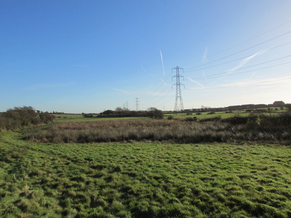
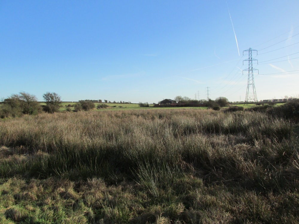
The site of the Fairy Well, Staining

One and a half centuries of neglect have not been kind to the Wrangdomwell, which is now in the middle of a large area of swampy land, reached from Staining village along Mill Lane, turning right at the windmill then walking along Smithy Lane.  Just before a derelict piggery on the left go into the field, and Wrong Well Meadow is on the right at the back of the piggery, with the spring issuing from the boggy ground. Be prepared to cross barbed wire fences, and to meet some friendly ponies.

Archaeology & History
Were it not for the researches and writings of an eccentric cleric, this site would almost certainly now be lost to history.  The Reverend William Thornber recorded, in his 1837 History of Blackpool that:

“The fairies of our fathers…were kind good natured creatures, at times seeking the assistance of mortals, and in return liberally rewarding them. They had a favourite spot between Hardhorn and Staining, at a cold spring of water, called Fairies’ Well to this day.”

The legendary waters hide in the rushes

Writing in a paper published in 1851, Thornber described the Fairy Well or Wrangdomwell in the context of the “Teanlas”, the enormous Hallowe’en bonfires (4) that were still at that time being lit at ritual cairns of stones in parts of west Lancashire.  One of these fire cairns once adjoined the Fairy Well, which in 1850 was still being visited for its,

“sovereign virtue for healing the diseases of men and cattle.  To succeed in obtaining a cure, the patient, escorted by his friends, was made to pass through the cairn, then he was sprinkled or dipped in the well, and lastly, he made an offering of a shell, pin, a rusty nail or a rag, but principally three white stones burnt in the Teanla fire. It is surprising in what numbers pieces of iron may be picked up. I have found since the meadows were ploughed, nails, an old shaped knife, leather thongs etc.”

Thornber wrote that the cairn no longer existed, and gave no precise location for the well.

Looking at the area between Hardhorn and Staining on the 1891 25″ OS map revealed only one ‘spring’; in land parcel 295. This parcel of land is recorded in the Schedule to the 1839 Tithe map as ‘Wrong Well Meadow’, occupied by Thomas Dobson, and owned by ‘School of Marton’, a charitable endowment established in 1717.  Adjoining Wrong Well Meadow are Old Meadow and Nickers Meadow (‘Old Nick’?), which might appear to show the Wrangdomwell as in the past having been part of a larger heathen ritual locality. Notwithstanding this, the Church was happy to take its tithe.

References:

  1. Thornber, William, The History of Blackpool, Smith Market Place: Poulton-le-Fylde 1837 (republished in 1985 by the Blackpool and Fylde Historical Society).
  2. Thornber, William, ‘Traces of the Britons, Saxons and Danes in the Foreland of the Fylde,’ in Proceedings and Papers of the Historic Society of Lancashire and Cheshire, Liverpool 1852.
  3. Tithe Map & Schedule Transcript, ‘The Township of Hardhorn with Newton’ Surveyed by Thomas Hull in 1838, with Schedule dated 1839.’
  4. Michelle Harris & Brian Hughes, in their ‘The History of the Wyre from Harold the Elk to Cardinal Allen‘ (4th ed. 2007) p35, write – “According to Tom C. Smith’s ‘History of the Parish of Chipping‘ published in 1891: ‘Teanlaes was the name given to fire celebrations, observed until quite recent years on May 1st, Midsummer Day, August 31st, and November 1st.’ These dates, it should be said, are at variance with Henry Taylor who, in his 1899 publication ‘Ancient Crosses of Lancashire’, quotes Atticus as saying: ‘The ceremony observed on Teanlow night, the last night of October, consisted of making bonfires on all the neighbouring hills.'”

AcknowledgementsMy thanks to the staff of the Local Studies Department, Borough of Blackpool Library Services for their assistance.

© Paul T. Hornby, The Northern Antiquarian