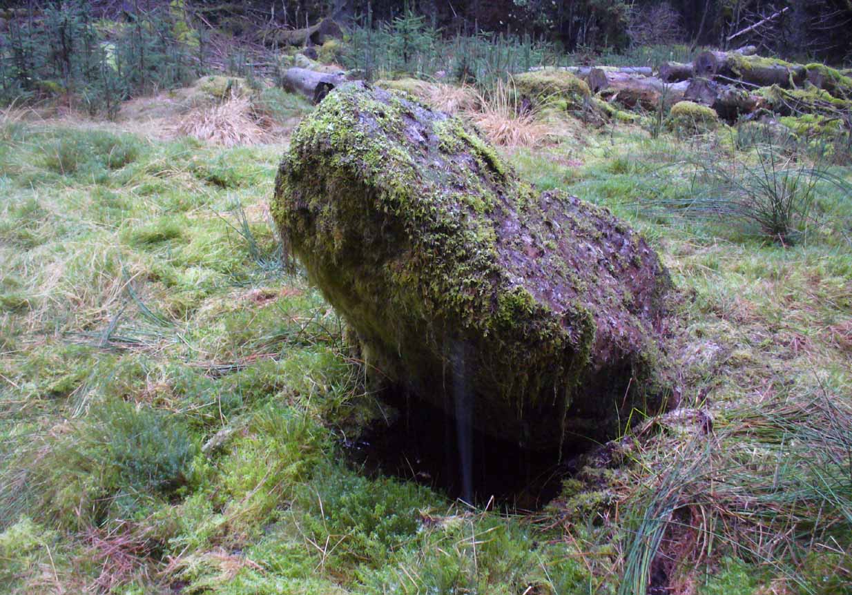
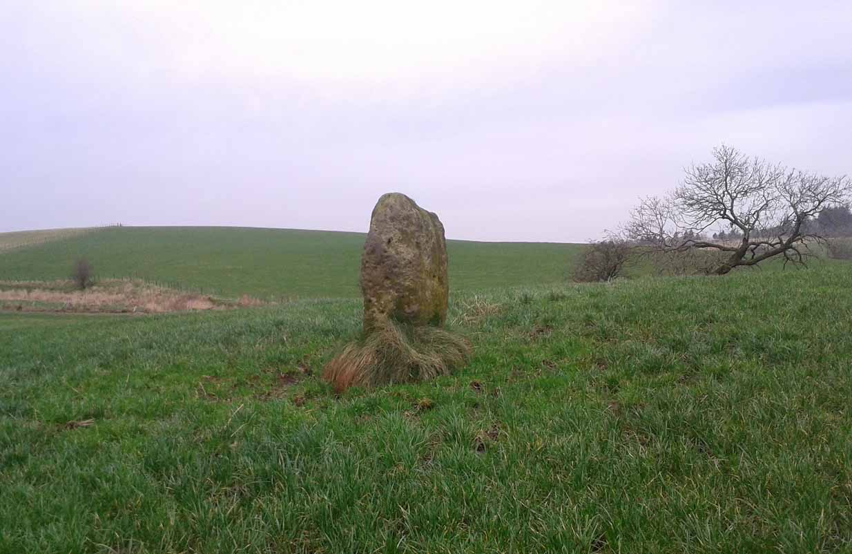
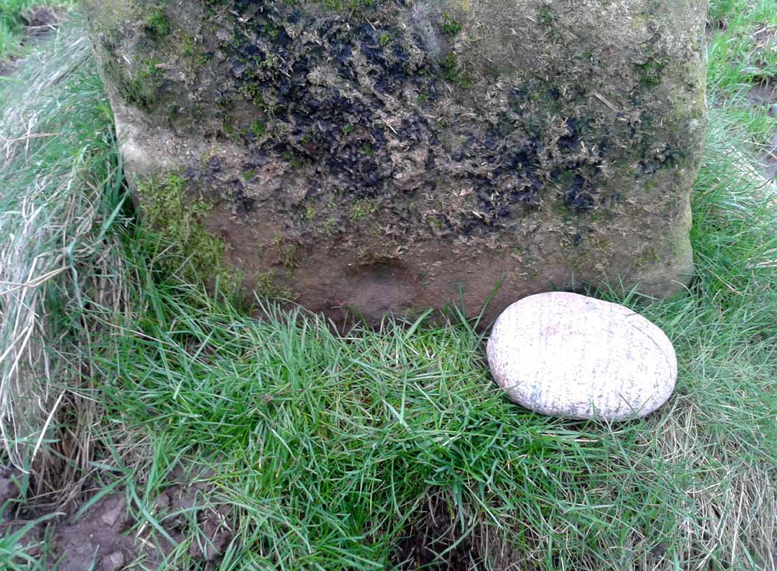
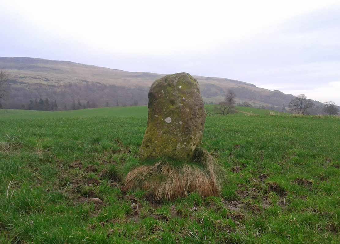
Spittal of Glenshee, Kirkmichael, Perthshire

Standing Stone:  OS Grid Reference – NO 10865 70201

Also Known as:

  1. Canmore ID 29609

Getting Here

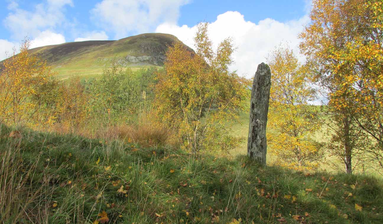
Spittal of Glenshee stone

Take to A93 road, north, between Blairgowrie and Braemar, keeping your eyes peeled many miles on, to turn left along the minor road as you approach the tiny Spittal of Glenshee hamlet. Just as you go over the ancient bridge, park up on your left, below the church.  Walk round the back of the church and you’ll see a large tree-covered mound.  Walk onto its top.

Archaeology & History

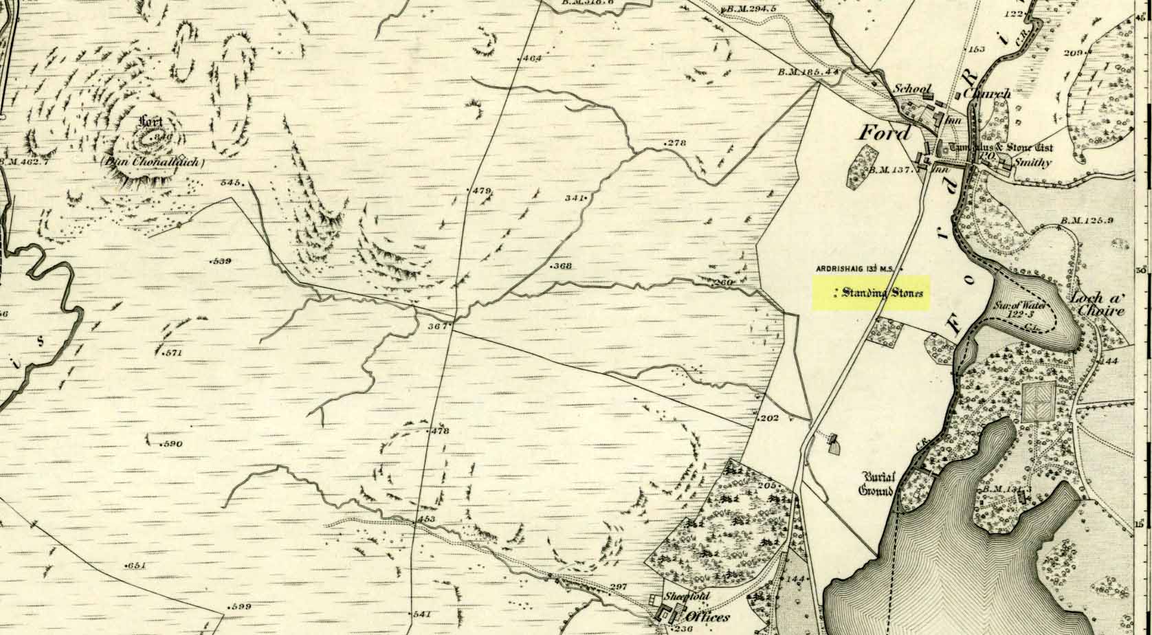
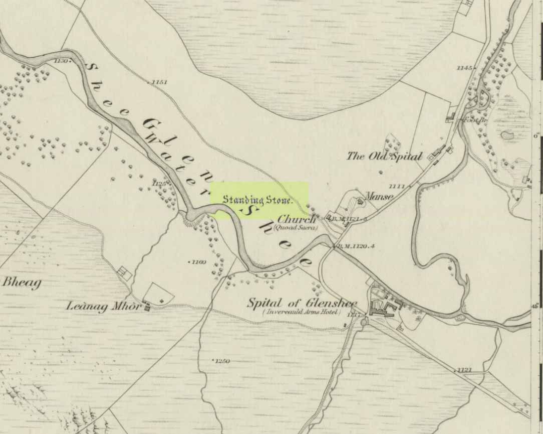
Stone marked on 1862 map

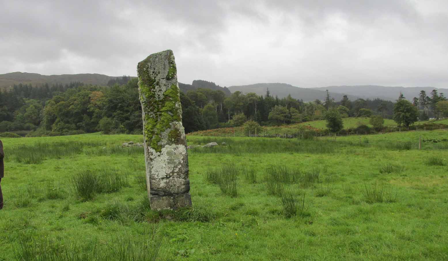
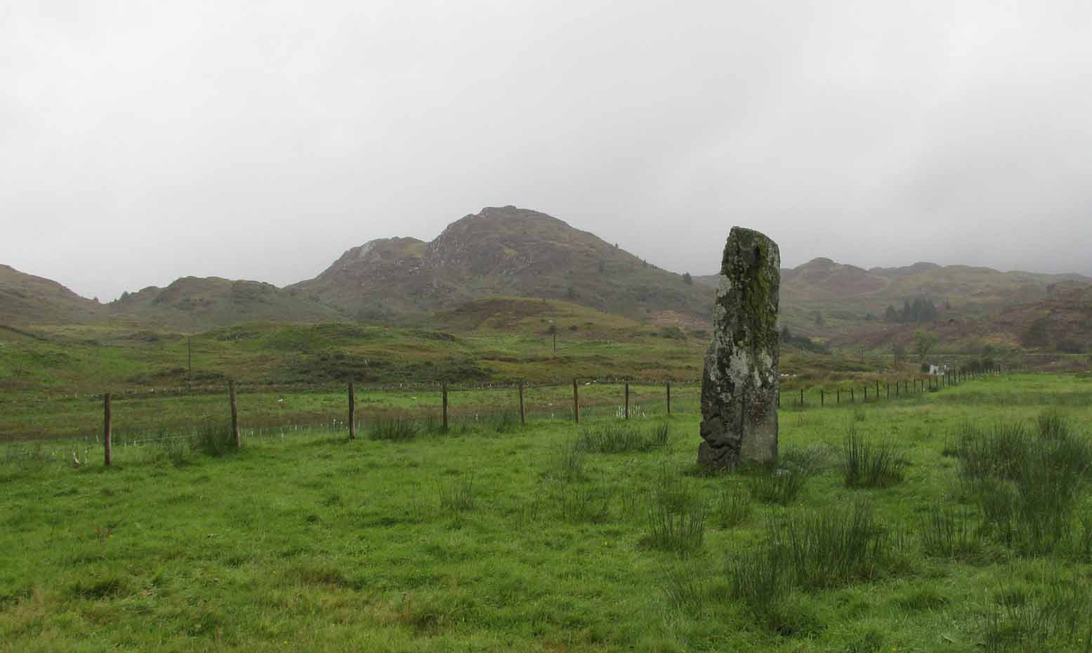
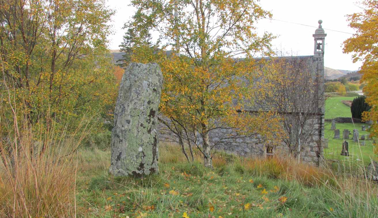
This quiet, almost hidden, six-foot tall standing stone on what initially seems to be a large fairy mound or tumulus at the back of the rude church, has been occluded from general view (in my opinion, deliberately) by the construction of the more debased christian edifice right in front of it.  But it detracts not from its gentle majesty once you reach its ancient body, atop of the old hill.

The stone is one in a cluster of prehistoric sites in and around this Glen of the Fairy Folk (as its name tells), where the rivers Shee and Beag converge.  If the church didn’t obstruct the view, some of the other sites would have been visible from here.

Folklore

The old stone, looking east

Folklore tells that when the christians came into the Glen to build a church—initially a half-mile or so to the east—the little people were much annoyed at the actions of the incomers, as it intruded on one of their sacred rings of stone close by.  By night they came out, and every stone that had been laid by the christians in the day was removed.  Each day the insensitive christians came and built their church without asking, and each night the little people removed it.  Eventually an agreement was made, and the fairies let them build the church next to this standing stone.  So goes the tale….

A veritable cluster of stories about Fingal, Ossian, Dermid and Grianne scatter this area, with many of them relating to ancient sites, but I’ve not found one directly relating to this stone.

References:

  1. Miller, T.D., Tales of a Highland Parish, Munro Press: Perth 1929.

© Paul BennettThe Northern Antiquarian


Murrayshall, Scone, Perthshire

Standing Stone:  OS Grid Reference – NO 15200 26263

Also Known as:

  1. Balgarvie (Swarbrick)
  2. Canmore ID 28135
  3. Mill of Bonhard

Getting Here

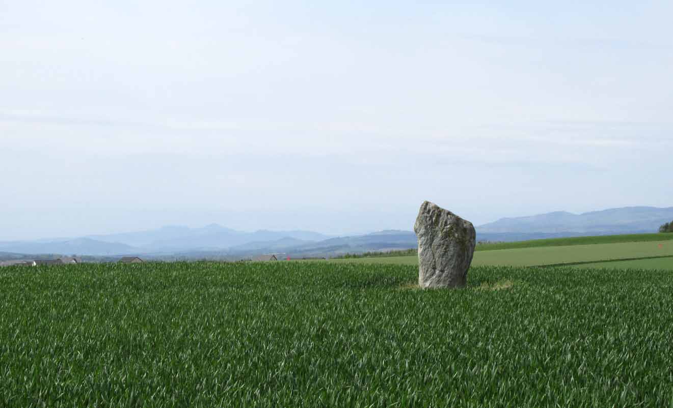
Murrayshall standing stone

On the main road (A94) through Scone, go east along either Murrayshall Road or Bonhard Road for a short distance until you go out of the town and into the countryside. About ⅓-mile (0.5km) along the country lane, go left at the road junction; and just another ¼-mile on, notice the field-gate on your left.  As you’ll see, the standing stone is just over 100 yards away in that field.

Archaeology & History

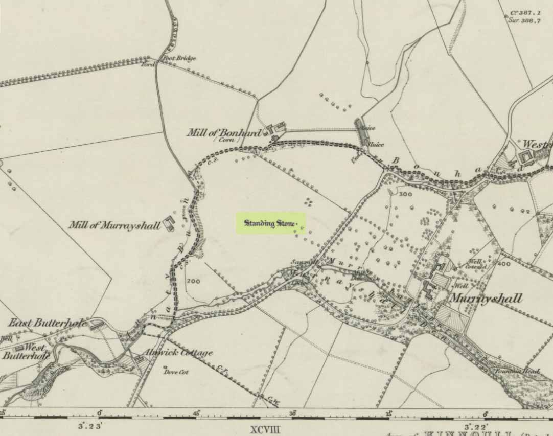
Murrayshall on 1867 map

In a region littered with megaliths, this fine upright single stone stands, quite deliberately, at a point in the field where you have excellent 360° views, which to the north looks way into the orgasm of the Scottish mountains.  History and tradition seem to tell it has always been a loner, without companions, but no archaeological excavation has taken place here to my knowledge; and the apparent proximity of some type of prehistoric ring-ditch 30 yards away may be related to the stone.  But we don’t for sure…

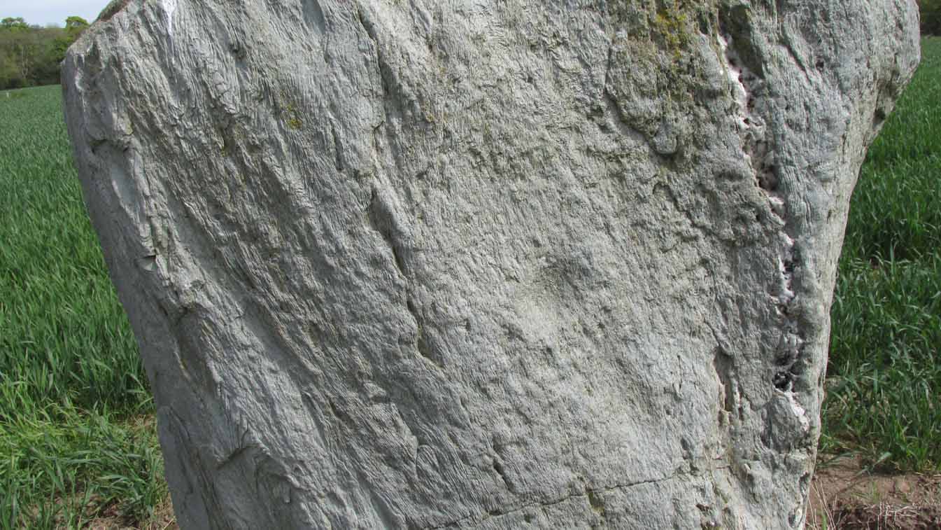
Close-up of cupmark

North-face with cupmark

Despite being shown on the first OS-map of the region in 1867 and despite being a large monolith more than 6 feet tall, very little seems to have been said of it.  It was included in Swarbrick’s (2012) poorly arranged survey; and the Royal Commission (1994) merely listed it, without comment, other than to say “it bears no markings.”  Yet when Paul Hornby and I visited the place recently, a large single cup-mark is plain to see on the north-face of the stone.

Although the stone is alone in this field, once you start exploring the hills a short distance to the south and the farmed fields heading north and east, masses of prehistoric sites begin to appear.  It’s well worth checking out!

References:

  1. Royal Commission on the Ancient & Historical Monuments of Scotland, South-East Perth: An Archaeological Landscape, HMSO: Edinburgh 1994.
  2. Swarbrick, Olaf, A Gazetteer of Prehistoric Standing Stones in Great Britain, BAR: Oxford 2012.

Acknowledgements:  Huge thanks as always to Paul Hornby for getting us to this site.  Plus, accreditation of early OS-map usage is reproduced with the permission of the National Library of Scotland.

© Paul BennettThe Northern Antiquarian


Meikle Findowie, Little Dunkeld, Perthshire

Standing Stone:  OS Grid Reference – NN 96105 39143

Also Known as:

  1. Canmore ID 86434

Getting Here

Meikle Findowie stone

Along the A822 road between Dunkeld and Milton, 4.7 miles (7.6km) west of the A9, turn left down the track signposted ‘Meikle Findowie’.  About 700 yards along the track you’ll reach a modernised farmhouse and here, on your left, a track takes you eastwards (left).  Go along here for about 100 yards until, just before the modernised house on your right (it was just a pile of ruins when we came here), you’ll see the standing stone in front of it.

Archaeology & History

Looking westwards

Beside the old trackway that runs east-west past Meikle Findowie, above the ancient flood-plain of the breathing River Braan, a solitary stone lives by the more modern shadow of old sheep-folds.  Tis a quiet little fella, less than 5 feet tall, that you could almost pass as a forgotten gatepost if you chattered when walking by. But it’s much more ancient than any old gate…

It nestles below the old hill of Airlich, with its beautiful stone circle and huge ancient enclosures higher up: a chunky old stone with no carvings or other human marks upon it.   Tis a site site worth visiting before heading uphill, to the megalithic ring of enchantment.

Acknowledgements:  Huge thanks as always to Paul Hornby for getting us to this site.

© Paul BennettThe Northern Antiquarian


Netherfoodie Cottage, Dairsie, Fife

Standing Stones (destroyed):  OS Grid Reference — NO 4128 1769

Also Known as:

  1. Dairsie Stones

Archaeology & History 


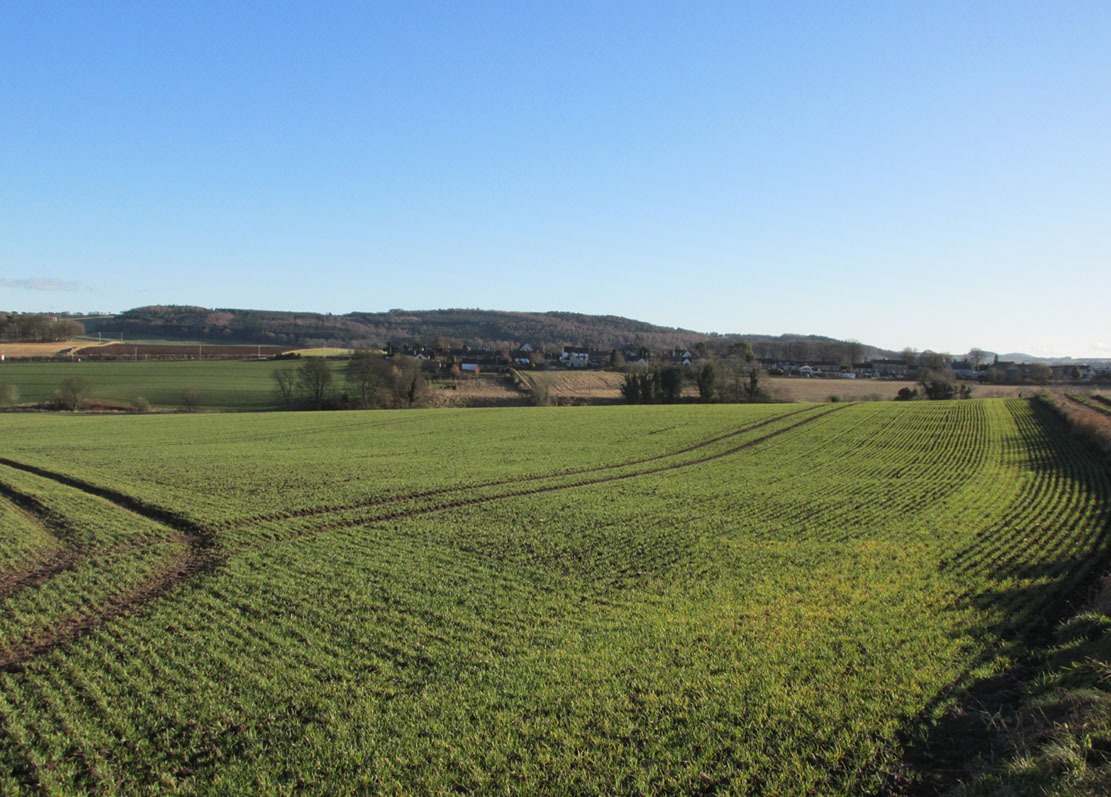
View of the field where the stones stood (Paul Hornby)

Recent archaeological investigations at the site which has become known as the Dairsie Hoard—where many pieces of broken Roman silverware were seemingly deposited in one spot, adjacent to a dried bog “which may arise from a former spring” of water—brought about the discovery of much earlier megalithic remains.  The position of two previously unrecorded standing stones were found during the archaeological dig here.  In the most recent edition of Current Archaeology, Fraser Hunter (2018) described the position of the Roman silverware close to some ancient pits or sockets in the ground. This “group of features was…intriguing”, he told,

“for two of them contained stumps of standing stones, one in association with probably Bronze Age pottery. This hoard had been buried in a memorable, perhaps even a sacred site, between an intriguing wet spot on one side and, on the other, two standing stones, which were already ancient by the time the silver was buried.  Such burial of valuables in association with prehistoric monuments can be readily paralleled elsewhere.  It suggests this silver was placed under the care of the gods, probably as a sacrifice rather than a burial for safekeeping.”

Two thousand years before the Roman silver deposit had been deposited, megaliths here stood.  Sadly they’re long gone, leaving more questions than answers as usual…

References:

  1. Hunter, Fraser, “Solving a Silver Jigsaw,” in Current Archaeology, 335, February 2018.

Acknowledgments:  Many thanks to Paul Hornby for use of his photo in this site profile.

© Paul Bennett, The Northern Antiquarian


Samson’s Stone, Waltonhill Farm, Craigrothie, Fife

Legendary Stone: OS Grid Reference – NO 36312 09667

Getting Here

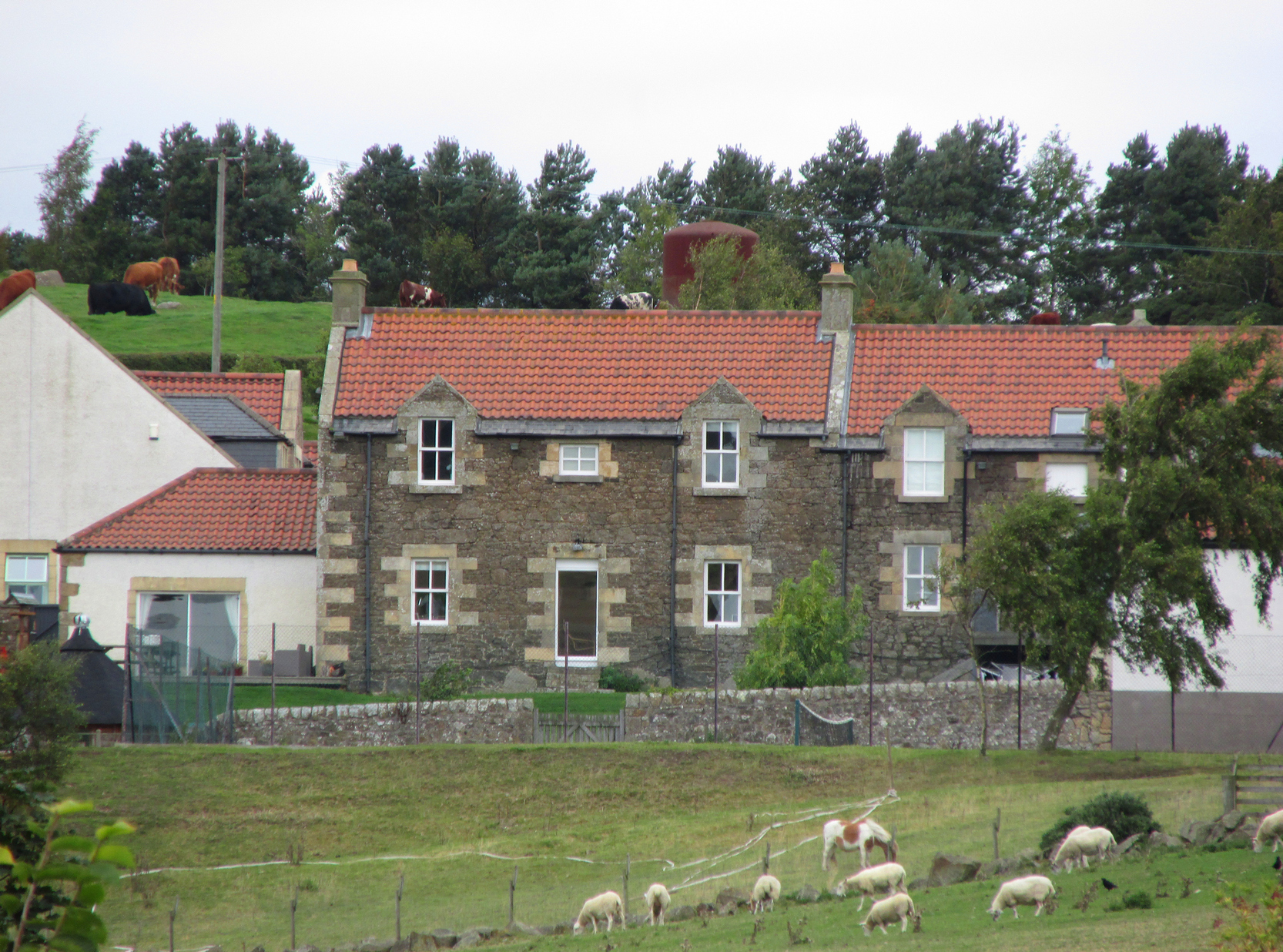
Light-coloured Samson Stones visible from road

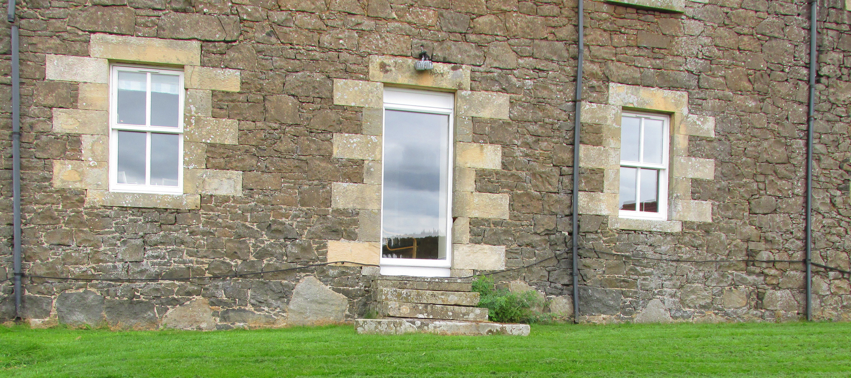
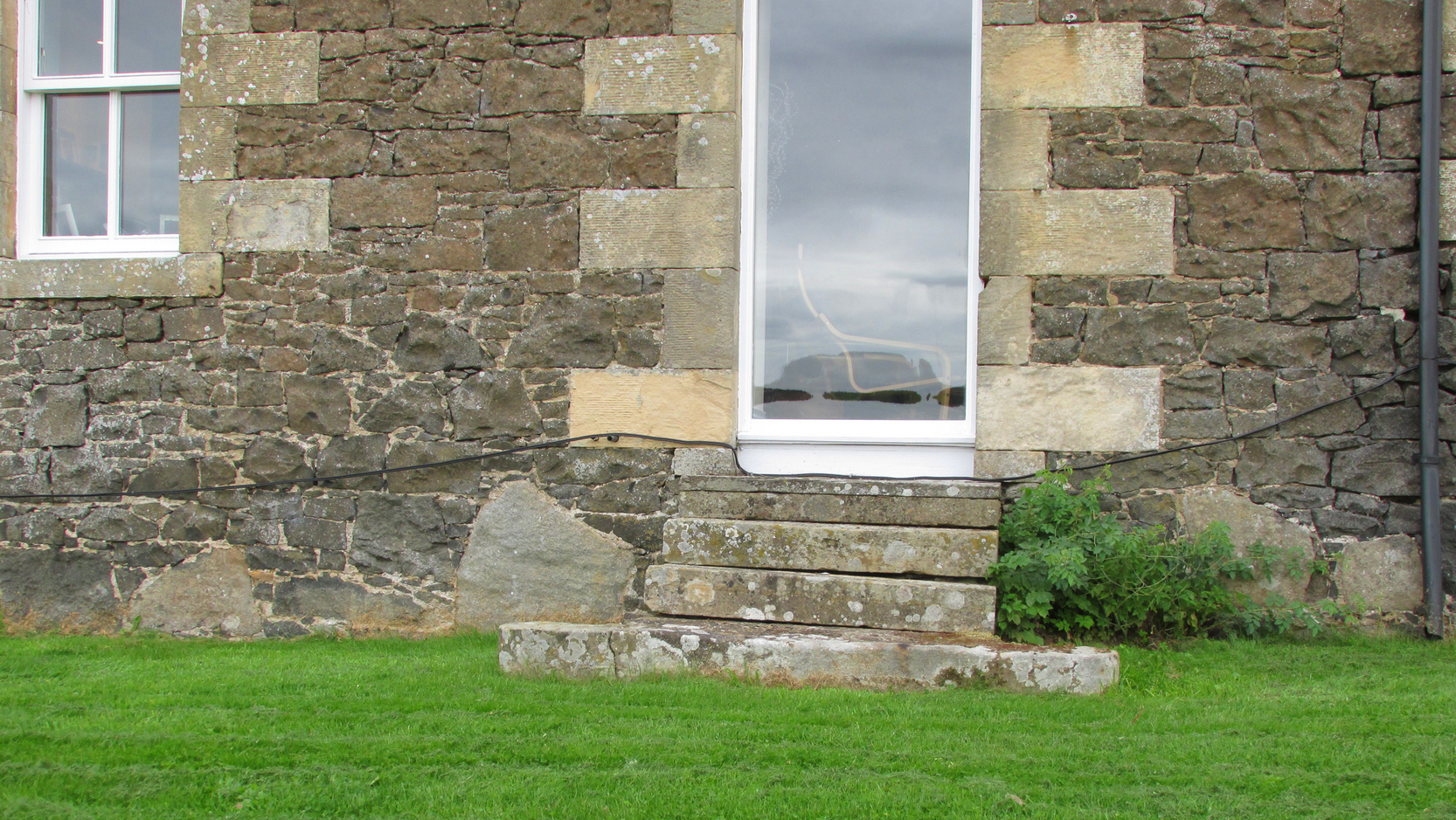
Travelling South along the A916 just past Craigrothie, turn right down to Chance Inn, and turn left at the T junction. and follow the road on to just past the left hand bend when Waltonhill Farm will be seen on the right. The Stones form part of the structure of a dwelling house and are not accessible to the public, but are visible from the public highway further down the road as the light coloured irregular shaped stones at ground level either side of the door of the south-facing house.

Archaeology & History

According to a piece published in the Fife Herald & Journal in 1905:-

“Once upon a time, so runs the legend, Samson challenged the devil to match him at boulder throwing. As challenger, Samson stood on the West Lomond; Satan stood on the East. The signal was given; two mighty rocks whistled through the air. ‘The De’ils Stane‘ fell where it now lies, on the road-side about a quarter of a mile west from Waltonhill Farm. Samson, though handicapped by three miles greater distance, flung his stone fully four hundred yards beyond that of Satan, and with such force that it split into three parts; which parts are now built into Waltonhill barn.”

The light-coloured stones at ground level are the likely remains
Another view of the stones

This is of course a variant of a creation myth that is to be found throughout Britain, of an Age of Giants who strode the land quarrelling with each other and the mortal humans. The original names of the Giants have been lost in the aeons of oral transmission of the legend from pre-history, and replaced by that of a probably equally legendary Middle Eastern strong man from the Christian’s Bible, in combat with the Christian’s Naughty Man. And to prove the point of Christianity’s superiority over the old animistic cults of the land, the De’il has to be demonstrably the Loser.

The house owner told me that what is now the farmhouse bearing the stones, was originally the barn, that they rebuilt after 40 years of dereliction, and interestingly she had heard something about some Samson’s Stones, but not about the nearby De’il’s Stane, which shows that these ancient legends are still being orally transmitted.

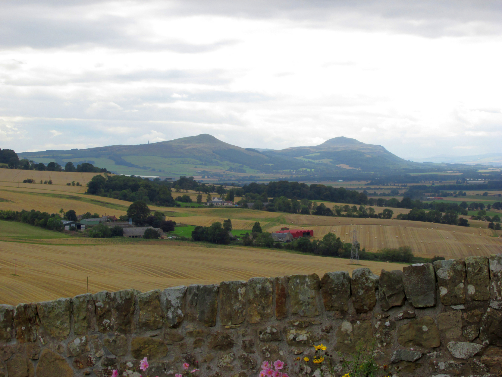
The stone was thrown over 10 miles from West Lomond (right)

There are five ‘odd’ stones either side of the doorway, along the base of the wall facing the Lomond Hills, of irregular shape and lighter colour than the rest of the building’s walls. These are the likely candidates for the Samson’s Stones (unless anyone can come up with more convincing evidence). While the legend speaks of three stones, it is quite feasible that the masons dressed these when they built the original barn, making five stones out of the three. They look like they may be successive horizontal slices of a larger square to triangular sectioned stone. Pure speculation on the writer’s part, but are these the remains of a lost standing stone(s) that had to be demolished in order for the barn to be built, pieces of which were incorporated into the building to give the original stone’s magical protection to the farmer’s animals and crops?

References:

  1. Fife Herald & Journal, 1st November 1905, quoted in John Ewart Simpkins’ County Folklore – Volume VII: Fife, with some notes concerning Clackmannan and Kinross-shires, Folk-Lore Society by Sidgwick& Jackson: London 1914.

© Paul T Hornby, The Northern Antiquarian 2018


Wife with the Bratty Plaid, Balfron, Stirlingshire

Standing Stone:  OS Grid Reference – NS 60027 91383

Getting Here

The Wife with the Bratty Plaid

The Wife with the Bratty Plaid

Take the same route as if you’re visiting the small Carlin Stone (a few hundred yards further along): along the B822 road between Kippen and Fintry, stop at Balafark farm and cross the road above the farm to take the track into the forest.  1km along, note the small green track, off the main central track, slightly up on the rise on your right, which bends round and then goes (eventually) to the other side of the forest.  Once you reach the gate at its edge, walk left 285 yards (261m) along the fence.

Archaeology & History

The Wife and the Carlin on the 1865 OS-map

The Wife and the Carlin on the 1865 OS-map

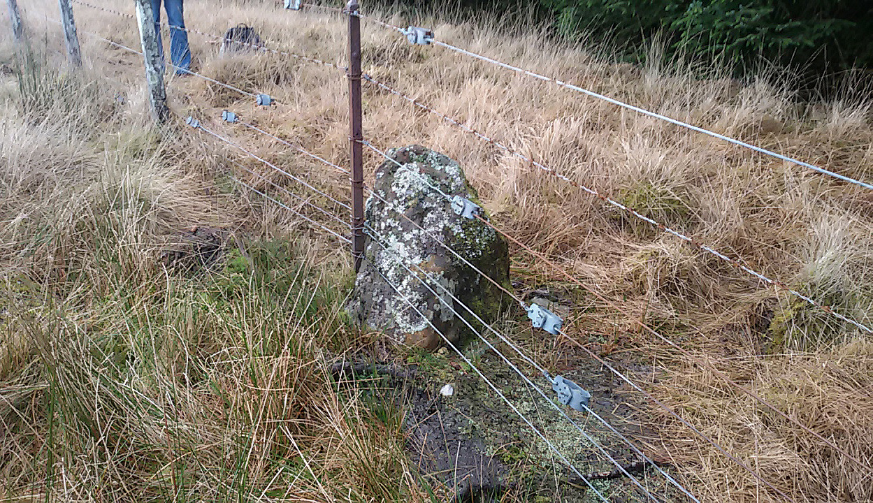
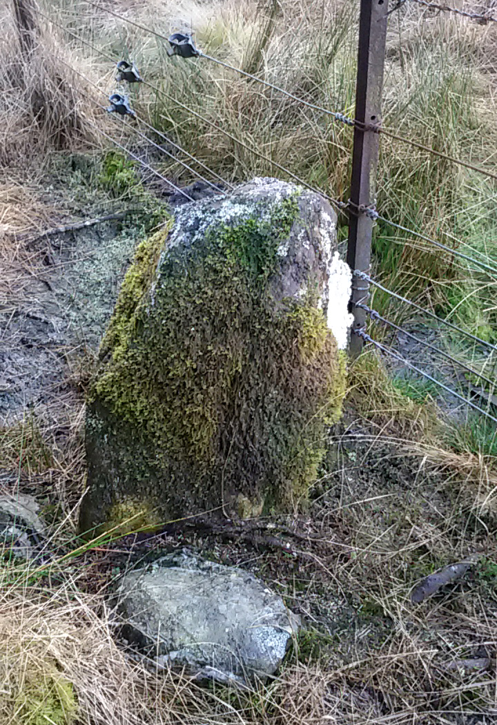
Described in the Ordnance Survey’s (1870) Book of Reference (volume 47) as “a flat rock on the boundary between Perth and Stirling,” the rock is certainly not flat—and any geographical relationship it had with Perth has long since gone.  Instead, the stone in question here is an upright one—although it’s not much more than two feet tall.  However, on the other side of the present-day fence there is a small flat stone in the ground; but it is the moss-covered upright that is our ‘Wife with the Bratty Plaid.’  A smaller curious-looking quartz-lined stone also lies next to this old Wife…

The Wife, looking east

The Wife, looking east

The Wife, looking west

The Wife, looking west

Marked on the ancient boundary line, this small but sturdy standing stone probably has a prehistoric pedigree, although we cannot be certain without an excavation.  It is shown on the earliest OS-maps from the 1860s, but we have no notifications from any literary sources telling the tale behind the stone’s fascinating name: meaning simply, the ‘wife wearing the tartan shawl.’  When Marion Woolley and I came here the other day, we tried to see if a simulacrum of such a figure was hiding in the moss-covered upright—but unlike the notable simulacrum at MacBeth’s Stone, we struggled somewhat here.  It was possible, from certain angles (if we didn’t stand on our heads and poke each other in the eyes!) to see this ‘wife in a shawl’, but twas a struggle…

There’s every likelihood that whatever the old tale once was about this petrified ancestral stone, it would have had some mythic relationship with the Old Wife known as the Carlin, or cailleach, a few hundred yards to the west, at the Carlin Stone.  As yet however, their histories remain hidden in the sleep of the Earth…

Links: 

  1. Nataraja’s Foot – The Wife with the Bratty Plaid

Acknowledgements:  Huge thanks to Marion Grace Woolley, for a truly soggy day out and for the photos in this site profile.

© Paul BennettThe Northern Antiquarian


Machar Stones, Fintry, Stirlingshire

Standing Stones:  OS Grid Reference – NS 65705 83932

Also Known as:

  1. Canmore ID 45311
  2. Waterhead Stones

Getting Here

The Machar Stones

The Machar Stones

Of the 2 ways to reach here: one via the Crow Road, up to Waterhead Farm and then meandering through the forest—we took the other one!  From the car park at the western end of Carron Reservoir, take the track into the forest. Stick to the track closest to the loch until, after crossing the small river bridge, veer right at the next junction 200 yards on.  Another 600 yards (0.5km) along, take the right turn and walk all along this track to the very end.  From here, take your feet down into the opening along the small burn and stick to this gap in the trees for 100 yards or so, where the gap in the trees veers left.  Keep walking for another 200 yards.

Archaeology & History

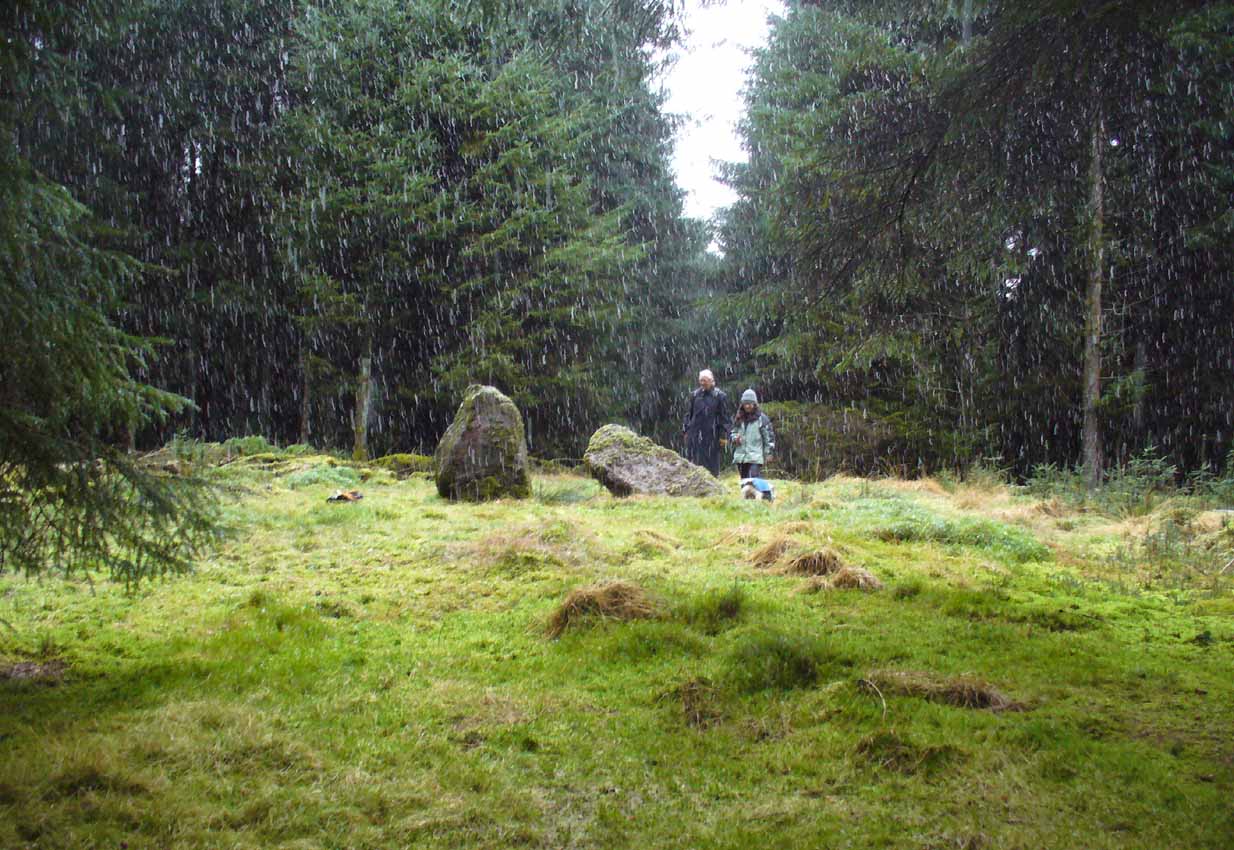
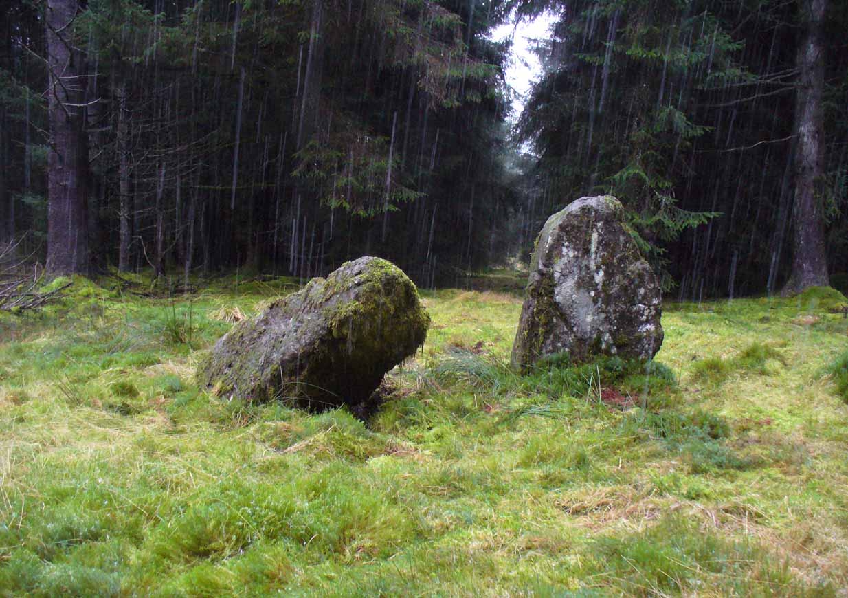
These stones might take some finding, but they’re worth the effort if you like your megaliths.  When Nina, Paul and I visited them yesterday, the meander turned into what have become known as Barmy Bennett Bimbles as we ventured off-path and into the forest, wading through marshland and getting our eyes poked out in the dense trees!  And then the snow came. Twas gorgeous to be honest…
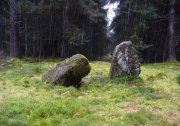
Machar Stones, looking SE
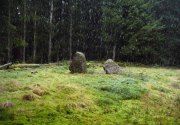
Machar Stones, looking SE

Machar Stones, looking west

Machar Stones, looking west

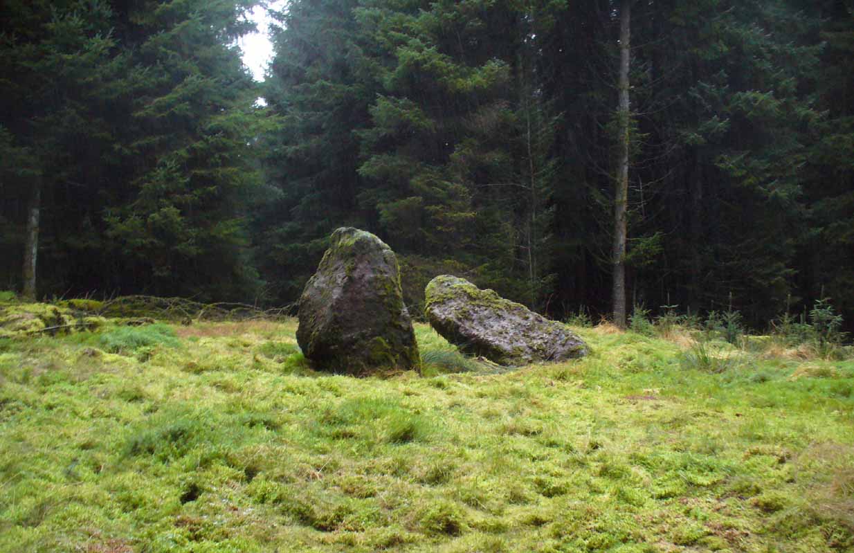
Probably neolithic in origin, the Machar Stones are set upon an elevated rise above the confluence of the Bin Burn and the River Carron on what seems to be an enhanced artificial platform, akin to those which some stone circles and ring cairns are mounted upon. Around the edges of the stones themselves, the earth has been dug into at some point in the past, as evidenced by the distinct oval dip in the ground surrounding the stones; although I can find no antiquarian accounts describing such a dig.  There is the possibility that these stones may once have marked the site of a prehistoric tomb.

Once you walk ten yards away from the stones in any direction, you begin to walk downhill.  Sadly the trees presently obscure any view from the stones, completely silencing the panorama that quite intentionally awoke from here in centuries gone by, disabling any immediate visual landscape analysis or geomancy.  The proximity of the two rivers was probably relevant in the construction of the stones; as may be the ridge between the Little and Meikle Bin to the southeast.

First described in Nimmo’s Stirlingshire (1817) as “a druidical remain…in the parish of Fintry, about the middle of the moor towards Campsie and northwest of the Meikle Bin”, another early account of these megaliths was in H.G. Smith’s (1896) work on the parish of Strathendrick, before the imposition of the modern ‘forest’ occurred and the views from the stones were unrestricted.  After describing their geographical position, he told:

“On a comparatively level part of the muirland between the two rivers and under Meikle Bin, there are two old standing stones known locally as the Machar Stones, this name being derived from the Gaelic magh, a plain.  The more northerly stones measures 8 feet in height, and the other is 5 feet 7 inches high.  Little…is known of the origin of these standing stones… They were apparently in some way connected with the religious worship of the prehistoric inhabitants of the land.  The general uniform direction in which they point, which is to the north of east, looking as nearly as possible to the quarter of sunrise at the summer solstice, seems to point to their having been erected by a race of sun worshippers.”

Machar Stones, looking NW

Machar Stones, looking NW

Around the same time, A.F. Hutchison (1893) gave a lecture on these and other Stirlingshire megaliths, giving slight variants on the heights of the monoliths, adding that “the two stones are standing in a line pointing to 220°.”  Sadly, even the great authorities of Aubrey Burl (1993) and Alexander Thom (1990), in their respective tomes on the subject, were unable to define any astronomical alignments here.  Hutchison puzzled about the seeming artificiality of the platform upon which the stones appear to have been set, though wrote how “geological authority pronounces it to be a quite natural formation.”

As to the name of the site, William Grant (1963) ascribes the word ‘Machar’ and its variants to mean “a stretch of low-lying land adjacent to the sand” or “low-lying fertile plain”—which doesn’t seem relevant here, unless it was so named by people living on the higher grounds.  It seems odd… As does the alignment of the stones.  When Nina Harris stood between the stones with a compass to work out the cardinal points, the stone that was leaning was due north of the upright stone.  When she walked several yards away from them, the compass deviated and we were given a more northeast-southwest alignment from stone to stone.  This isn’t too unusual as we find similar magnetic anomalies at other megalithic sites in Britain (see Devereux 1989), due to a variety of geophysical ingredients.
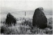
Royal Commission 1954 photo

Royal Commission 1954 photo

Not that your bog standard archaeo-tomes ever mention magnetic anomalies, as basic physics is too complex a subject for your standard archaeo-types!  Instead however, we just get the usual measurements and data-sets, much as the Royal Commission (1963) lads gave us after their visit here in 1954—but at least there was no forest when they came here!  They were fortunate.  “These two stones,” they told us,

“stand on a slight eminence in open moorland, half a mile ENE of Waterhead farmhouse and at an elevation of 850ft… Described by Nimmo’s editor as “a Druidical remain”, they have also been nown as the Machar Stones.  The more northerly stone, a four-sided pillar of irregular section, has fallen almost prostrate and its whole length, 7ft 6in, is revealed.  At the centre it measures 3ft in width by 2ft 6in in breadth.  The other stone stands 4ft 6in further S.  It is a slab…standing to a height of 5ft and measuring about 2ft in thickness.  Its width is 2ft 8in at ground level, 3ft 8in at a point 2ft above this, and 2ft at the top.”

They posit the idea that the reason the taller stone is leaning at such an angle was due to there being a prehistoric cist nearby which had been ‘excavated’ by peoples unknown, who then took it upon themselves to explore the Machar Stones with similar venture.
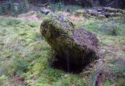
The 'cup-marked' stone

The ‘cup-marked’ stone

In recent years it has been said that there are cup-markings on the leaning stone, seven of them apparently.  When we visited yesterday they were difficult to make out.  There were a number of ‘cups’ on the stone, but these were debatable and seemed more the result of conglomerate disintegration than man-made.  A couple of them were perhaps ‘possibles’.  However, the light was poor and I’d prefer another visit before making my mind up!

The Machar Stones are quite evocative megaliths, despite their lack of grandeur.  Maybe it was the snow.  Maybe it was the trees.  Maybe it was me.  Or probably a mix of all three and more; but this had a real feel to the place.  Well hidden, miles from human touch or visits, awaiting just the occasional visitor—and in this weather (of floods, downpours, cold and snow) saturated humans would be the only sorts of crazy people whose spirits would risk getting completely lost to find them.  And my god were they worth the effort!  Paul, Nina and I thought so anyway!

References:

  1. Burl, Aubrey, From Carnac to Callanish, Yale University Press 1993.
  2. Devereux, Paul, Places of Power, Blandford: London 1990.
  3. Feachem, Richard, Guide to Prehistoric Scotland, Batsford: London 1977.
  4. Grant, William (ed.), Scottish National Dictionary – volume 6, SNDA: Edinburgh 1963.
  5. Hutchison, A.F., “The Standing Stones of Stirling District,” in The Stirling Antiquary, volume 1, 1893.
  6. Nimmo. William, History of Stirlingshire, Andrew Bean: Stirling 1817.
  7. Royal Commission on the Ancient & Historical Monuments Scotland, Stirlingshire – volume 1, HMSO: Edinburgh 1963.
  8. Royal Commission on the Ancient & Historical Monuments of Scotland, Archaeological Sites and Monuments of Stirling District, Central Region, Society of Antiquaries of Scotland 1979.
  9. Smith, H. Guthrie, Strathendrick and its Inhabitants from Early Times, James Maclehose: Glasgow 1896.
  10. Thom, A., Thom, A.S. & Burl, Aubrey, Stone Rows and Standing Stones – 2 volumes, BAR: Oxford 1990.

Acknowledgements:  Huge thanks to Nina Harris and Paul Hornby for their endurance and endeavor in locating these great old stones, in attendance with the great rain, snow and deep muddy bogs!

© Paul BennettThe Northern Antiquarian

Knockraich, Fintry, Stirlingshire

Standing Stone:  OS Grid Reference – NS 60889 87739

Also Known as:

  1. Canmore ID 45305
  2. Knockcraich

Getting Here

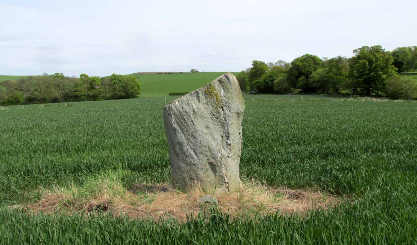
Knockraich standing stone

Knockraich standing stone

From Fintry village take the B822 road towards Kippen.  Only half-a-mile (0.8km) along, take the track on your left to Knockraich Farm and cafe.  Go all the way through the farm along the track and out the other side then follow the fence downhill across the field. At the bottom, go through the gate towards the stone which you’ll already be able to see ahead of you, in the next field. Y’ can’t miss it!

Archaeology & History

This little-known four-foot tall monolith standing alone in the fields northwest of Fintry, just above the River Endrick, is a fascinating little fella!  It stands at the western end of an elongated rise in the land, almost as if mimicking an ancient long barrow.  But more intriguingly (for me at least) are the cup-markings that adorn each of its four sides.

Cup-mark at base of the north side

Cup-mark at base of the north side

Cup-mark near top of west face

Cup-mark near top of west face

Upon first glance it seems that there are a number of such cup marks on the stone, but further inspection shows that only one occurs on each of the four faces.  Near the very bottom of the stone on its north and south sides a single large cup-mark has been etched; and on its east and western faces, the cup-mark has been carved further up towards the middle of the stone, with the east-facing side having a groove running from near the top and stopping at the cup-mark.  On top of the stone is a large ‘bowl’ (possibly natural, possibly man-made—it is difficult to say with any certainty) and a single cup-mark next to it.  When Nina, Paul and I visited here a few days ago, a palm-sized smooth stone was resting in the large bowl on top, akin to the healing and divination stones found placed in bullauns in Ireland and other parts of the world.

The first description of any length was cited in A.F. Hutchinson’s (1893) paper on the standing stones of Stirlingshire in which he wrote:

“This stone…is placed on the bank rising up from the river.  In shape it is approximately square—the two sides facing nearly east and west, measuring each 1ft 7in, the north face 1ft 6in, and the south 1ft 3in.  These dimensions are uniform from top to bottom.  The total girth is therefore 5ft 11in, while the height is 3ft 8 in.  Orientation 225º.  There are a number of cupmarks both on the top and side, as well as having several incised lines and other markings, some of which, however, give evidence of recent sculpture.”

Knockraich stone, looking south at Dunmore hillfort

Knockraich stone, looking south at Dunmore hillfort

Cupmark, hollow & stone on top

Cupmark, hollow & stone on top

The more modern or “recent sculpture” was that of a human figure, now very faint, etched onto the most western face of the stone, beneath a large solitary cup-mark.  When the site was visited and described by the Royal Commission (1963) lads, they gave a lengthier description of the carved elements on the stone, telling us that:

“On the top, which has been brought to an irregularly rounded point, there is an almost circular hollow measuring 5½in to 6in across and 2½in in depth; it is difficult to suppose that this is other than artificial, although its bottom shows differential weathering.  The SE side of the stone shows several natural cavities, and a deep and wide vertical groove which is also presumably natural.  The NW face seems to have been flattened to a certain extent, a slight ridge which is visible along part of either margin probably representing a survival of the original surface.  On this face, 12in above the ground, a human figure has been outlined in pocked technique.  It is in full-face, the features being indicated by pocked marks; the arms are extended jut below the level of the shoulders and the legs are widely spread with the feet turned outwards.  The lower edge of a tunic or short kilt seems to be indicated by a single line between the legs.  The figure is 8in heigh and measures 7in in breadth between the hands and 7½in between the feet.  This face of the stone also shows a number of small natural cavities, together with a shallow cup which has a somewhat artificial appearance; this cup is in the centre of the face and 2ft 4½in above ground level, apparently at the upper margin of the flattened area.  The figure lacks any distinctive characteristics which might afford evidence of date, but it may be relatively modern…”

Folklore

Mr Hutchinson (1893) told that,

“The stone seems to have brought down through the ages a tradition of sanctity in connection with it, as there is a legend to the effect that any attempt to move it is attended by convulsions of Nature and evil consequences to the rash disturber.”

Whether the position of the water-worn smooth rock found in the bowl on top of this standing stone has any ancient tradition, records seem silent on the matter.

References:

  1. Hutchinson, A.F., “The Standing Stones of Stirling District,” in The Stirling Antiquary, volume 1, 1893.
  2. Royal Commission on the Ancient & Historical Monuments Scotland, Stirling – 2 volumes, HMSO: Edinburgh 1963.
  3. Royal Commission on the Ancient & Historical Monuments of Scotland, Archaeological Sites and Monuments of Stirling District, Central Region, Society of Antiquaries of Scotland 1979.
  4. Smith, H. Guthrie, Strathendrick and its Inhabitants from Early Times, James Maclehose: Glasgow 1896.

Acknowledgements:  Many thanks to Nina Harris and Paul Hornby for their help and attendance at this old stone.

© Paul BennettThe Northern Antiquarian
Carlin Stone, Balfron, Stirlingshire

Legendary Stone:  OS Grid Reference – NS 59553 91277

Getting Here

Carling Stone on 1866 map

Carling Stone on 1866 map

Take the B822 road between Kippen and Fintry, stopping at Balafark farm.  On the other side of the road, above the farm, take the track into the forest.  Naathen…. 1120 yards (1.02km) along, note the small green track, off the main central track, slightly up on the rise on your right. It bends round and then goes (eventually) straight to the edge of the forest.  Once you reach the edge, go left all along the fence until it meets the large gate 800 yards WSW.  20 yards past the gate, a small stone is along the fence-line. This is the Carlin!

Archaeology & History

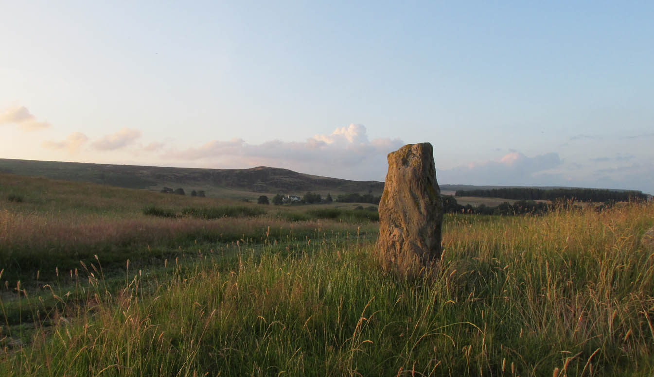
Carling Stone, looking east

Carling Stone, looking east

Found along the same boundary line as another stone with similar mythic virtues (called the ‘Wife with the Bratty Plaid’), when Marion Grace Woolley and I visited the site earlier, we found only a small upright, barely a foot tall, right in line with the ancient boundary along a newly made fence.  Thankfully, whoever built the fence, understood the nature of the stone, and left it in the ground where it belongs.  We know not for sure exactly how old this stone might be, but it its name and position suggest very old – probably prehistoric.

The Carlin is another word for the Cailleach: the prima mater or great Earth goddess in Irish, Scottish and northern English animistic traditions.  Her virtues are immense, representing the cycles of the natural world, a creation giant, healer and a whole host of other elements inherent to the natural world.  Although She tends to be represented as the Winter hag, the Cailleach changes Her faces and attributes as the cloaks of the seasons go by, annually, cyclically, year after year after year.  She’s as much the cloak of the Winter as She is the fertility of Spring, the warmth of the Summer and the fruits of Autumn.

Carling Stone, looking west

Carling Stone, looking west

Whatever traditions there might have been at this small Carlin Stone are now long forgotten it seems.  We find no bodach (Her husband) in immediate attendance.  However, the existence of the small standing stone called the ‘Wife with the Bratty Plaid,’ several hundred yards to the east along the same ancient boundary line, implies there would have been a traditional perambulation along this boundary, and during such annual ritual walks, tales or words may have been said here.  Does anyone know more…?

© Paul BennettThe Northern Antiquarian

Strathblane Churchyard, Stirlingshire

Standing Stone:  OS Grid Reference – NS 56387 79375

Also Known as:

  1. Canmore ID 44452

Getting Here

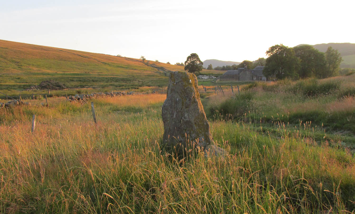
Strathblane church's heathen creator

Strathblane church’s heathen creator

From whichever direction you’re coming from along the A81 into Strathblane, make sure you keep your eyes peeled for where the A891 turns off it to the east.  Go  and along there and barely 100 yards on the church is set back from the road.  Walk into the graveyard, turn left and you can’t really miss it amidst the mass of modern graves.

Archaeology & History

Location of the stone, from Smith 1886

Location of the stone, from Smith 1886

In accordance with the occasional tradition of standing stones in churchyards (such as the Rudston monolith and many others), a short stumpy monolith, less than four feet high, here stands alone in the christian burial ground surrounding Strathblane’s parish church.  The top of the stone is quite flat and it’s possible that this once stood much taller, with the top of the stone being chopped off (such destruction has happened at the Cuckoo Stones and many other megalithic sites).  It’s certainly worth looking at and stands amidst a cluster of other ancient sites—some gone, some still in evidence—in and around this lovely old village.  Not much has been written about the stumpy little fella and its first literary reference seems to be in Mr Smith’s (1886) magnum opus on the area, where he tells:
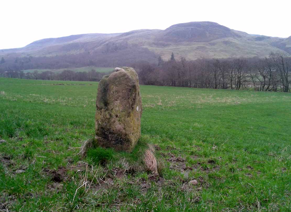
“There is a very old standing stone in the churchyard, but most probably it was placed there long before there was any church in the parish.”

…Nothing else.  Even the Royal Commission (1963) lads said little about it, merely telling us:

“A few yards within the entrance to the graveyard of Strathblane Parish Church…a standing stone appears among the monuments.  It is a five-sided pillar, 3ft 9in high, with an uneven but flattish top.  At ground level the sides range from 1ft 9ins to 2ft 3in in width.”

The stone, looking south

The stone, looking south

The stone, looking southeast

The stone, looking southeast

The fact that it stands by the church (rebuilt around 1803 out of its more ancient fabric) suggests that the site was a heathen temple or sacred site, redesignated by the invading christian priesthood.  A short distant east and west have been found a number of prehistoric remains in the forms of burials, standing stones and giant cairns, indicating this site to have had particular mythic importance in earlier centuries.  From the standing stone if we look southeast, we see the rise of Dunglass, but the view to the stones and great pyramid of Dumgoyach, northwest, is blocked by the rise of Cuilt Brae, which I found to be a little surprising.

References:

  1. Royal Commission on the Ancient & Historical Monuments Scotland, Stirling – volume 1, HMSO: Edinburgh 1963.
  2. Smith, John G., The Parish of Strathblane, James Maclehose: Glasgow 1886.
  3. Ure, David, The History of Rutherglen and East Kilbride, Glasgow 1793.

© Paul BennettThe Northern Antiquarian