Cairn (destroyed): OS Grid Reference – NT 3071 7366
Archaeology & History
The only reference I can find of this long lost cairn is in William Baird’s (1898) massive history work of the area—but even in his day he reported that “it has long since disappeared.” He wrote:
“We have a curious reference in a charter of Kelso Abbey, granted about 1466, to a cairn of stones which stood near the south-east corner of the garden wall at Mount Lodge, Portobello. In the charter, where it is referred to as forming part of the boundary of the lands of Figgate, it is described as, ‘a certain heap of stones there deposited.'”
The cairn was likely of considerable size and, said Baird, “in all probability marked the site of an ancient place of sepulture.”
References:
Baird, William, Annals of Duddingston and Portobello, Andrew Elliot: Edinburgh 1898.
Cup-Marked Stone: OS Grid Reference – SE 1194 5810
Getting Here
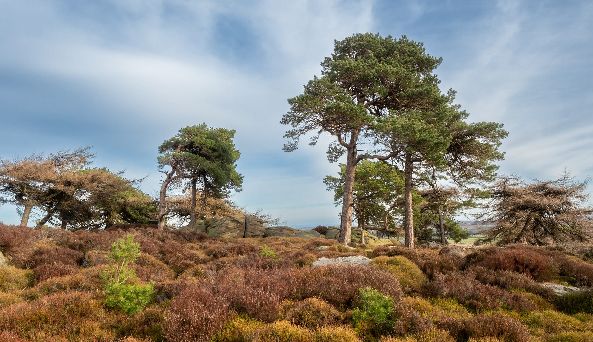
The Raven stone setting
Take the A59 road from Harrogate and Skipton and at the very top of the moors keep your eyes peeled for the small Kex Ghyll Road on your left(it’s easy to miss, so be diligent!). It goes past some disused disused quarry and after a mile or so where you hit a junction, turn left, past the Outdoor Centre of West End and straight along Whit Moor Road. About a mile past the Outdoor Centre go left down to Brays Croft Farm and over the ford, then keeping to the footpath up to the right (west) and note the clump of trees on the moors above you to the west. That’s where you need to be.
Archaeology & History
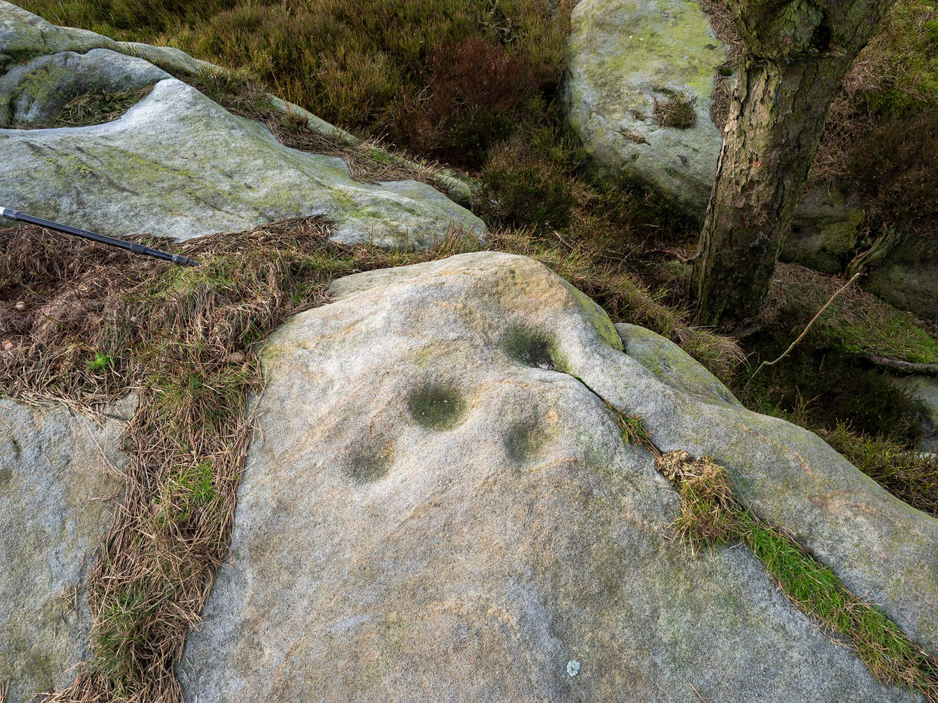
Several of the cupmarks
Several natural basins that might have been worked in prehistoric times are accompanied by several distinct cup-marks near the middle-edge of the stone, in a rough triangular formation, with two others slightly more eroded a little further down the same side. Boughey and Vickerman (2003) noted several other cupmarks on the rock, some distinct, some not so.
Adjacent to this carved stone is another naturally worn stone of some size, with incredibly curvaceous ripples over the top of the rock which, in all probability, possessed some animistic property to the people who carved this and other nearby carvings. Check the place out. It’s a gorgeous setting!
References:
Armstrong, Edward A., The Folklore of Birds, Collins: London 1958.
Boughey, Keith & Vickerman, E.A., Prehistoric Rock Art of the West Riding, WYAS: Wakefield 2003.
Round Barrows (destroyed): OS Grid Reference – NZ 692 214
Archaeology & History
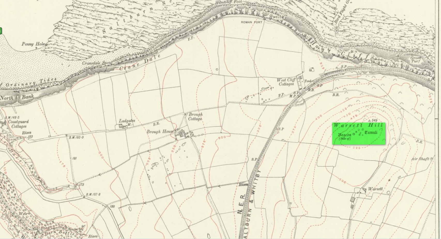
Tumuli shown on 1920 map
On top of the large plateau that is Warsett Hill, on the southwest side of the old trig-point, could once be seen a cluster of at least seven burial mounds or tumuli. The mounds are shown on the first OS-map of the area, but merely as mounds. It wasn’t until there’d been a subsequent investigation here by local historian J.C. Atkinson in the 19th century that they were highlighted on the 1920 map as “Tumuli.” Sadly, since then, they’ve all been destroyed.
Very brief notes were written on six out of the seven tombs here by William Hornsby (1917), with only one of them receiving any real attention. “Of the other six,” Crawford (1980) wrote,
“there is very little information; all were excavated by Atkinson prior to 1893, but his excavations revealed no finds and he stated that all of the mounds had been previously disturbed. They were later dug by Hornsby, who stated that although he found no sepulchral deposits, all the mounds contained flints.”
In medieval times this became a beacon site, where bonfires were lit. I can find no further information about this. (NB: This site should not to be confused with another Warsett Hill that exists two miles southeast of here above Skinningrove.)
References:
Crawford, G.M., Bronze Age Burial Mounds in Cleveland, Cleveland County Council 1980.
Hornsby, William & Stanton, R., “British Barrows near Brotton,” in Yorkshire Archaeological Journal, volume 24, 1917.
Acknowledgements:Huge thanks for use of the Ordnance Survey map in this site profile, reproduced with the kind permission of the National Library of Scotland.
Holy Well (destroyed): OS Grid Reference – NT 3190 3339
Also Known as:
St Bryde’s Well
Archaeology & History
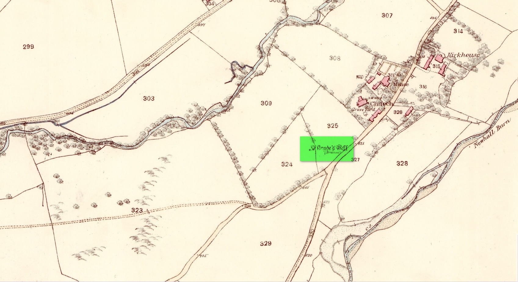
Site shown on 1858 map
Two hundred years ago, located halfway between Traquair’s present parish church and that of the demolished (apparently) 12th century church of St. Bride to the southwest, were the flowing waters of this once sacred water source. But it’s long since been destroyed. It was drained sometime prior to when the Ordnance Survey lads came here in 1856 and its water taken to supply the nearby manse. Subsequent surveys by the Royal Commission (1967) and Mr & Mrs Morris (1982) affirmed its demise. It was listed in the early Scottish holy well surveys, without comment, and I can find no local history accounts of the place.
References:
Hallen, A.W. Cornelius, “Holy Wells in Scotland,” in The Scottish Antiquary, volume 9, 1895.
Royal Commission on the Ancient & Historical Monuments, Scotland, Peeblesshire – volume 2, Aberdeen University Press 1967.
Walker, J. Russel, “‘Holy Wells’ in Scotland,” in Proceedings of the Society of Antiquaries of Scotland, volume 17,, 1883.
Acknowledgements:Huge thanks for use of the Ordnance Survey map in this site profile, reproduced with the kind permission of the National Library of Scotland.
Cup-Marked Stone (lost): OS Grid Reference – NT 3202 3347
Archaeology & History
In 1974, Ordnance Survey reported the existence of “a large piece of sandstone containing two depressions resembling cup marks” in the churchyard wall which, tradition told, originally came from the ruined 12th century parish church (long gone) more than 300 yards to the southwest (at NT 3185 3328). However, in recent years the cup-marks seem to have disappeared and may be hiding behind the overgrowth of ivy in the boundary wall. It needs to be recovered.
Halfway between the location of the original church and the present one, waters from the heathen St Bryde’s Well used to flow, but it had already been drained by 1856.
Legendary Rock (destroyed): OS Grid Reference – HP 5223 0467
Archaeology & History
Whilst classifying this as a “legendary” rock, it was as much a functional stone that played an integral part of local village life in the 19th century and, most probably, way before that. This large stone possessed a large cavity in the shape of a giant human footprint, measuring 12 inch by 4 inch. It could be seen “above the Deeks of Bracon, North Yell, up Hena”, but when first described in 1865, it was said to be “no longer in existence.” Despite this, when an Ordnance Survey dood came looking for it in 1969, he reported it as “still in existence” and known of by local people. Is there anyone in the far far north who can tell us?
Folklore
The impression of the large footprint was natural, but the use to which local people made of it is valuable when we seek to understand pre-industrial customs. The Royal Commission (1946) lads echoed the folklore handed down by J.T. Irvine from 1865, telling that,
“Formerly the people used to wash in dew or rain-water that had gathered in the cavity and stand in it to get rid of warts. The tradition was that a giant had planted one foot here and the other on a stone on the Westing of Unst.”
Healing stones with such properties can be found everywhere on Earth.
References:
Royal Commission Ancient & Historical Monuments, Scotland, Inventory of the Ancient Monuments of Orkney and Shetland – volume 3, HMSO: Edinburgh 1946.
Cup-and-Ring Stone: OS Grid Reference – NT 6504 2045
Archaeology & History
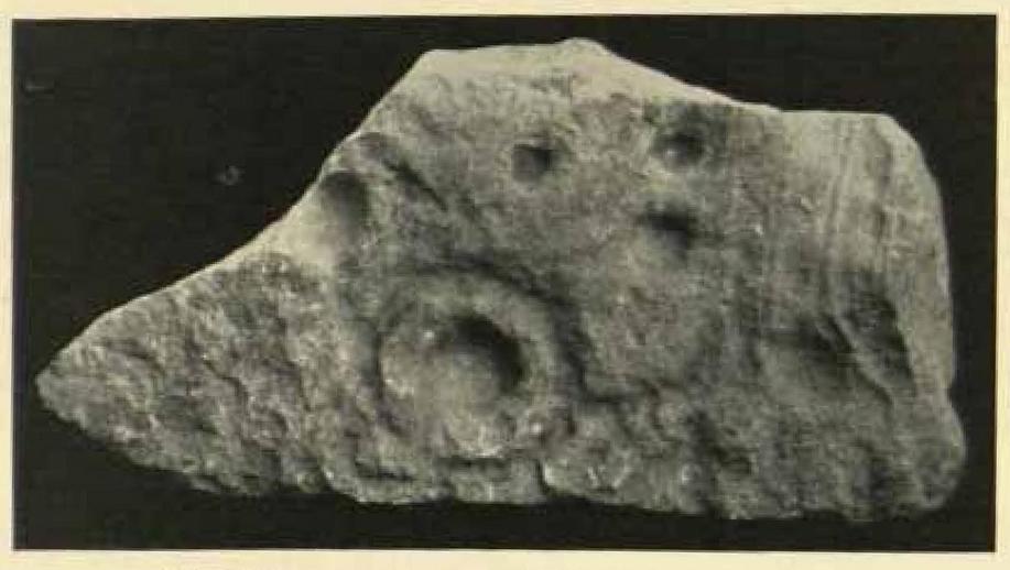
A little-known cup-and-ring stone that was uncovered in the forecourt of Jedburgh Abbey by Walter Laidlow in 1903, now lies all but forgotten in the abbey grounds. Laidlow’s original description of his find was very basic indeed: “a sculptured stone, with incised ring-and cup-symbols… of yellow sandstone, 1 foot 8 inches long, 9½ inches broad, 4 inches thick.” The Royal Commission (1956) lads did slightly better, saying:
“A slab of stone… measures 1ft 8½in by 9½in by 4in, and bears on one face six cup-marks ranging from 1in to 2½in in diameter. The largest of these is encircled by a ring 5in in diameter, in “pocked” technique; while slight traces of what may have been a similar ring can be seen around another cup, which is fractured.”
Laidlow’s 1903 photo
You can see from the photograph how the stone has been broken from a larger piece, strongly suggestive of a greater prehistoric design on the original slab—but there have been no subsequent finds that might show us its original form. In all likelihood, the stone originally came from a prehistoric tomb, but we know not where that might have been—much like the Mathewson’s Garden carving, also in Jedburgh.
The carving apparently still lies somewhere in the Abbey grounds, sleeping, but I’ve not visited the olde stone so I don’t know its exact position. If any local folk can tell us more, that would be great!
References:
Laidlaw, Walter, “Sculptured and Inscribed Stones in Jedburgh and Vicinity,” in Proceedings Society Antiquaries, Scotland, volume 39, 1905.
Morris, Ronald W.B., “The Cup-and-Ring Marks and Similar Sculptures of South-West Scotland,” in Transactions of the Ancient Monuments Society, volume 14, 1967.
Morris, Ronald W.B., “The cup-and-ring marks and similar sculptures of Scotland: a survey of the southern Counties – part 2,” in Proceedings of the Society of Antiquaries, Scotland, volume 100, 1969.
Morris, Ronald W.B., The Prehistoric Rock Art of Southern Scotland, BAR: Oxford 1981.
Royal Commission on the Ancient & Historical Monuments of Scotland, Roxburghshire – volume 1, HMSO: Edinburgh 1956.
Cup-and-Ring Stone: OS Grid Reference – c. NT 65 20
Archaeology & History
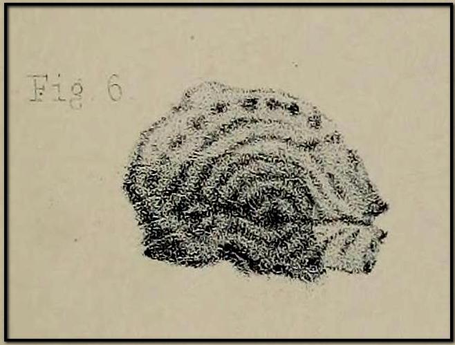
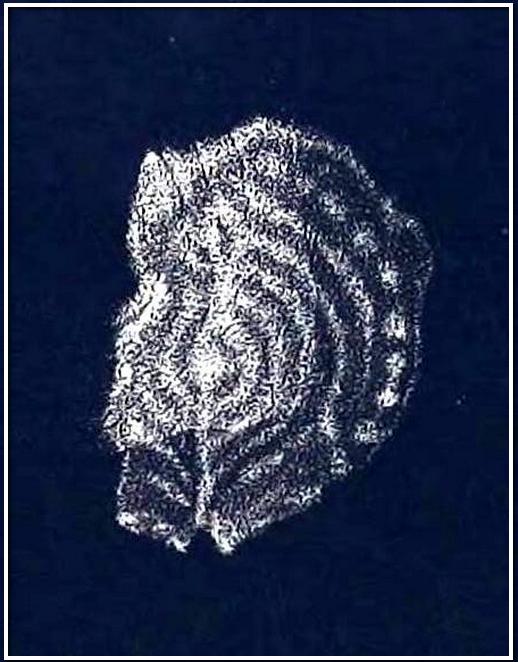
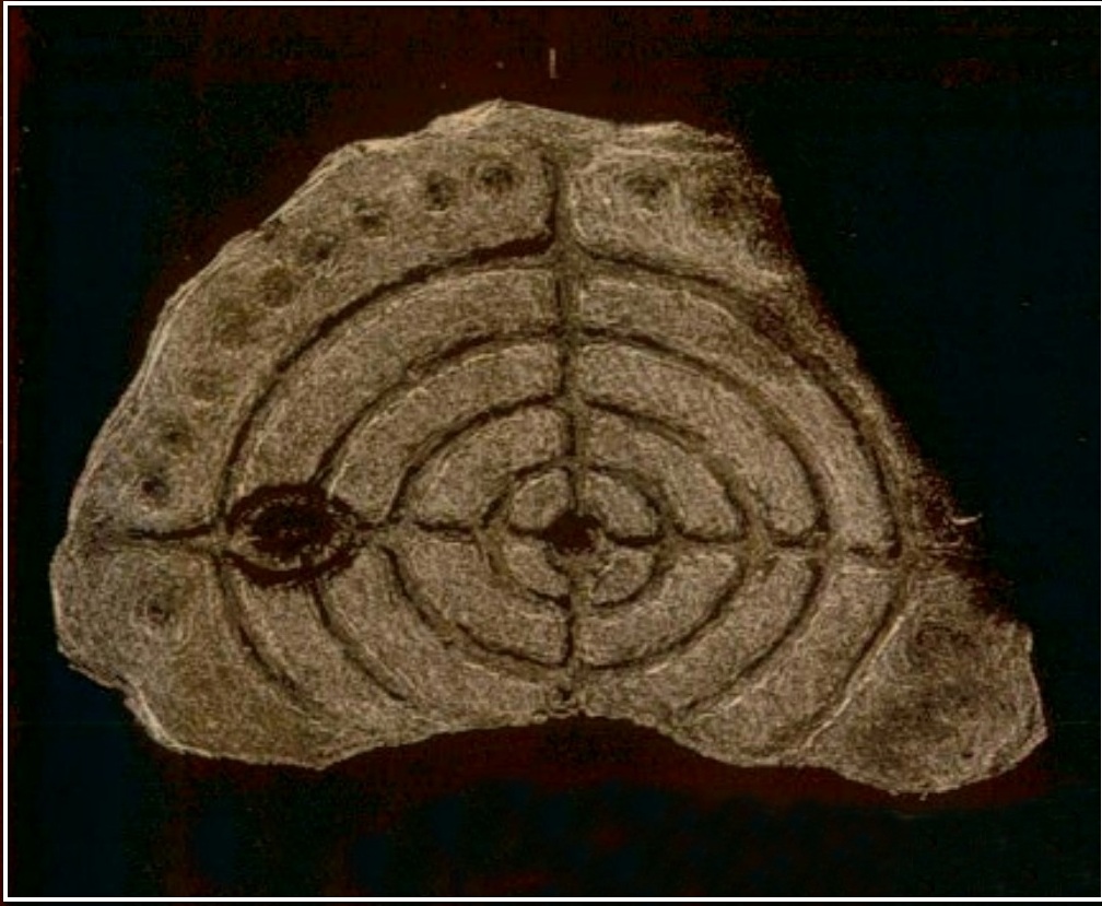
Apart from the petroglyph found at Jedburgh Abbey in 1903, there’s a distinct lack of known cup-and-ring stones in this area; so when the petroglyph pioneer George Tate was in town in 1860, he was fortunate to find a small “portable” stone with a rather impressive design on it. We don’t (yet) know the exact position of where the stone was located, as Tate simply told how,
“Lying among a heap of stones in Mr. Adam Mathewson’s garden, I detected, on a much weather-worn block, defaced sculpturing of the same family character as those in Northumberland. …There are five concentric circles, central cup, radial grooves, and a string of cups around the outer circle. Forty years ago this stone was built into the wall of a house; but whence it originally came is not known. Doubtless it belongs to the district, and probably had been connected with an interment.”
His final remark would seem most likely and has subsequently been echoed by several other rock art students. A few years after Tate’s initial find, the carving was mentioned in Sir James Simpson’s (1867) classic work, who told us:
Dr Falla’s 1866 sketch
“Sometime ago Mr Tate, of Alnwick, discovered in the garden of Mr Matthewson at Jedburgh a stone cut with concentric circles, possibly a sepulchral cist, but peculiar in some respects. The stone is roundish, but broken off at one side, and about eighteen inches broad. Its face is covered by five incised concentric rings, and through the central cup pass at right angles two straight lines, which completely bisect all the circles. The outermost circle is about fourteen inches in diameter. Some inches to the left of the central cup is a second, with one incised circle around it. Arranged circularly outside of the outermost circle is a series or ring of points or stars, each cut out—so Dr Falla writes me—”as with a single stroke of a pick, rather than hewn out.” I am indebted to the same gentleman for the sketch of this stone.”
Subsequently all other written accounts repeat the same basic description—and each account remained (as we still are) perplexed as to its original location, wondering where on Earth the Rev Adam Mathewson’s garden was in Jedburgh (surely someone must be able to find out?!). Thankfully the carving itself has been saved and presently lives in the Kelvingrove Art Gallery and Museum, Glasgow. Whether it ever had any relationship with the petroglyph at Jedburgh Abbey, we don’t yet know.
References:
Laidlaw, Walter, “Sculptured and Inscribed Stones in Jedburgh and Vicinity,” in Proceedings Society Antiquaries, Scotland, volume 39, 1895.
Morris, Ronald W.B., “The Cup-and-Ring Marks and Similar Sculptures of South-West Scotland,” in Transactions of the Ancient Monuments Society, volume 14, 1967.
Morris, Ronald W.B., “The Cup-and-Ring and Similar Early Sculptures of Scotland; Part 2 – The Rest of Scotland except Kintyre,” in Transactions of the Ancient Monuments Society, volume 16, 1969.
Morris, Ronald W.B., “The cup-and-ring marks and similar sculptures of Scotland: a survey of the southern Counties – part 2,” in Proceedings of the Society of Antiquaries, Scotland, volume 100, 1969.
Morris, Ronald W.B., The Prehistoric Rock Art of Southern Scotland, BAR: Oxford 1981.
Royal Commission on the Ancient & Historical Monuments of Scotland, Roxburghshire – volume 1, HMSO: Edinburgh 1956.
Simpson, J.Y., “On Ancient Sculpturings of Cups and Concentric Rings,” in Proceedings of the Society of Antiquaries, Scotland, volume 6, 1866.
Simpson, James, Archaic Sculpturings of Cups, Circles, etc., Upon Stones and Rocks in Scotland, England and other Countries, Edmonston & Douglas: Edinburgh 1867.
Tate, George, “The Ancient British Sculptured Rocks of Northumberland and the Eastern Borders,” in Transactions of the Berwickshire Naturalists Club, volume 5, 1864.
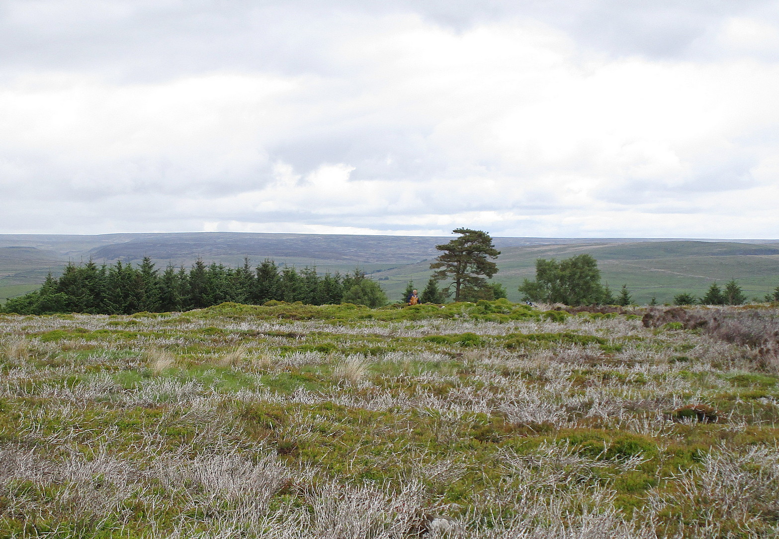
It’s easier to explain how to get here if you’re coming from the Burnsall-side of the B6160 road that leads to Bolton Abbey. A half-mile out of Burnsall village you a small woodland with a small parking spot. From here, a footpath runs up the steep hill above the parking spot. It zigzags a little and you eventually come out on the south-side of the trees where it meets some tall walling. Follow this walling further uphill for more than 600 yards (past more woodland) until the land starts to level out. Hereby, go thru an opening in the wall and less than 100 yards away (west) amidst the overgrown heather, you’ll see what you’re looking for.
Archaeology & History
A large but peculiar site resting on a moorland plateau on the eastern edges of the mighty Barden Moor. Peculiar inasmuch as it’s completely isolated from any other monument of the same age and type anywhere on these huge moors. A few miles east, on the moors around Appletreewick, Thruscross and Beamsley we have a plethora of prehistoric sites—but up here on Barden Moor there’s apparently nowt else! I find that hard to believe….
Inner rubble wallingRubble walling, looking N
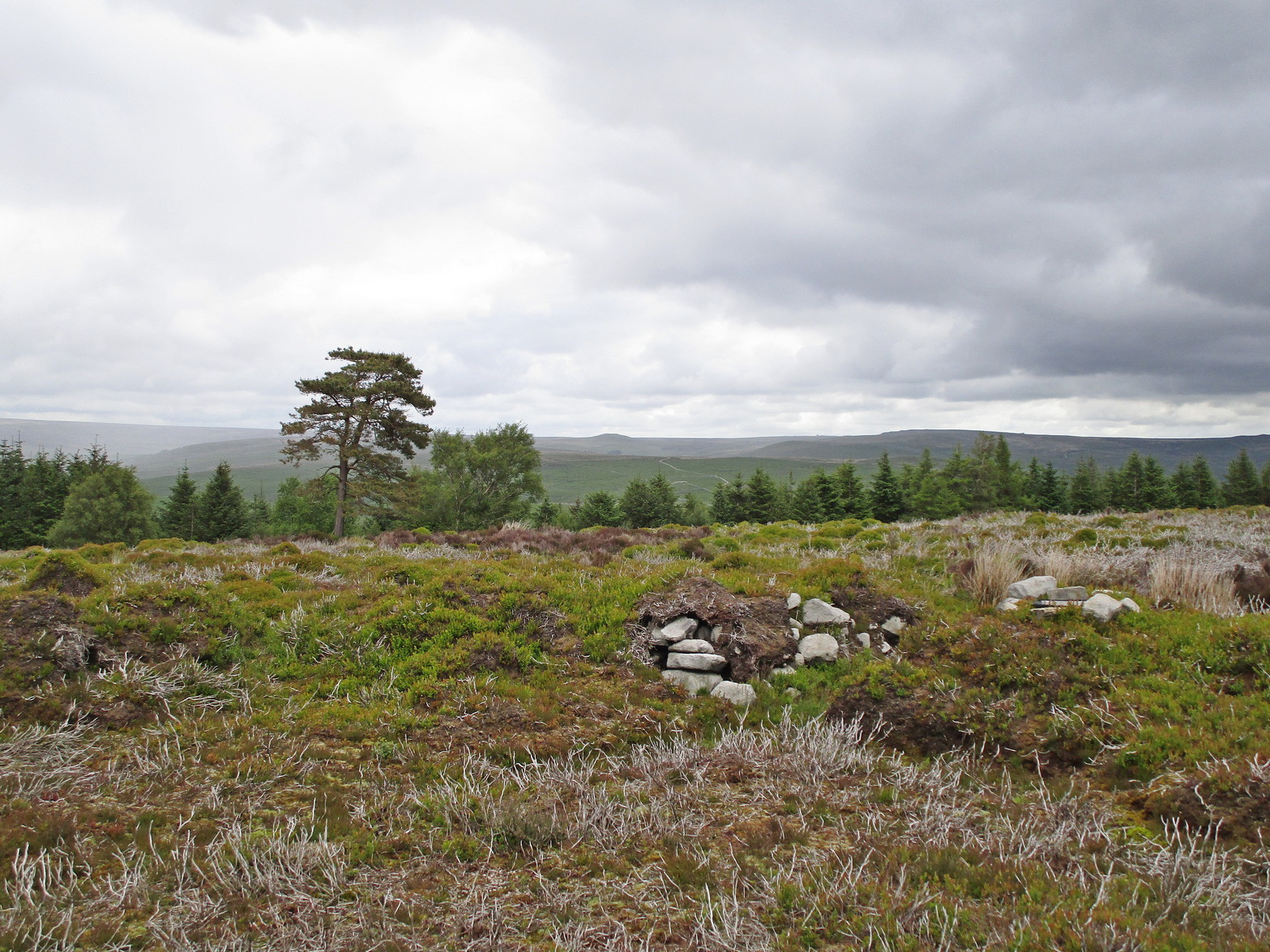
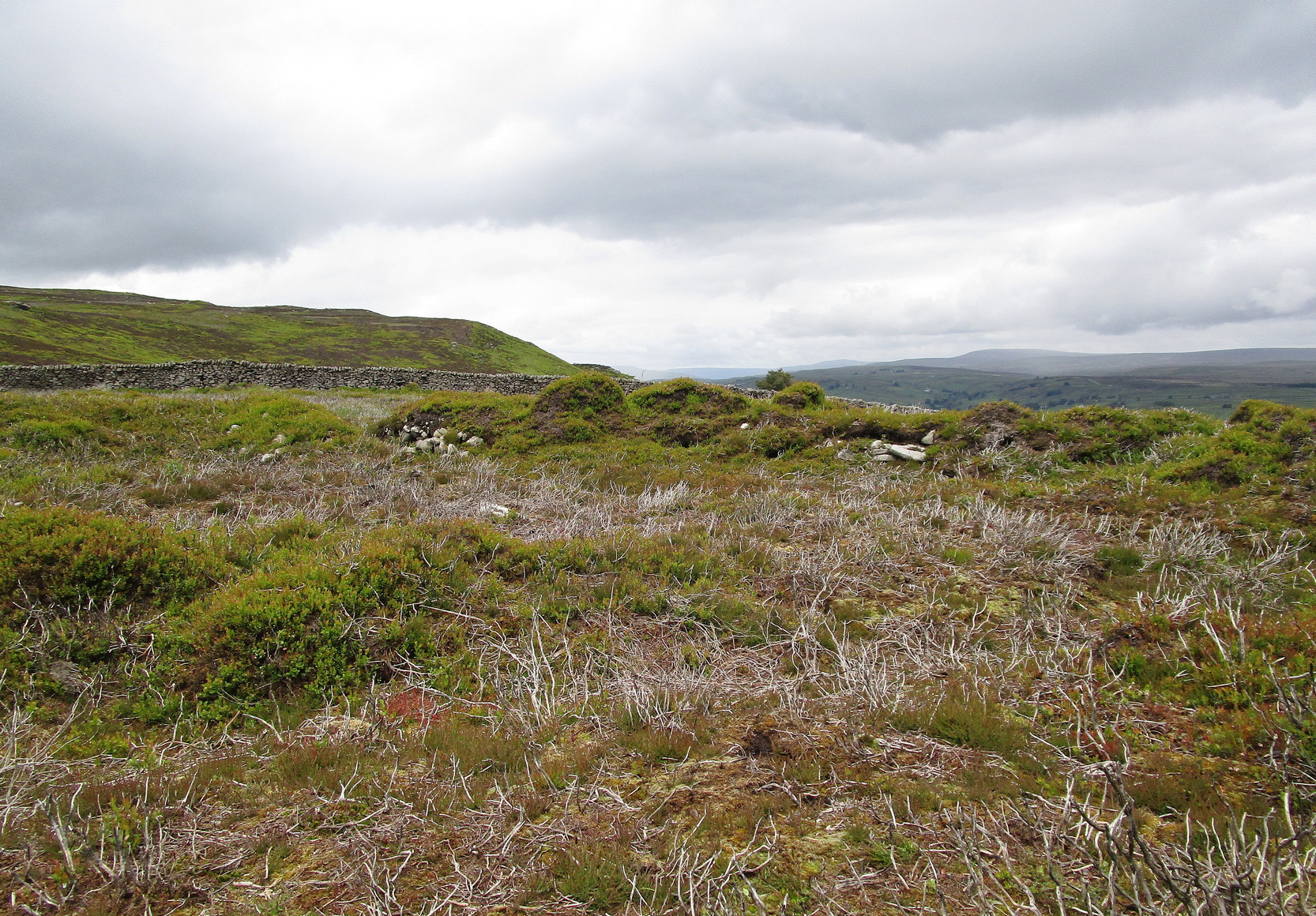
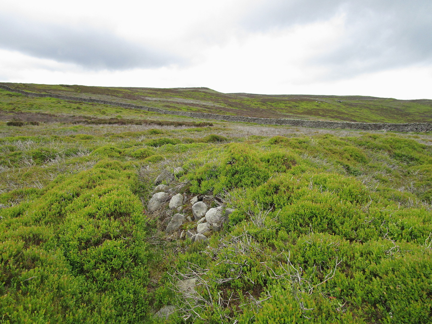
Listed on official websites as being a ring cairn, it’s difficult without a detailed excavation of the site (there hasn’t been one) so say that’s what it is. But we’ll stick with it for the time being. My initial impression of the site was that it was a crude form of a collapsed Scottish dun: impressive large circular monuments—buildings if you like—with very well-built large stone walls, usually several yards thick, a little bit like the Scottish brochs (mighty things indeed!). This thing at Folly Top isn’t quite as impressive, but it’s like a collapsed version of a dun.
Arc of western walling
The site consists of large ring of raised collapsed rubble walling, more than a yard high in places, and about three yards thick all the way round, measuring roughly 21 yards (N-S) by 19 yards (E-W) from outer wall to outer wall. There are “entrances” on the east and west sides; but there seemed to be little of any note in the middle of the ring, although the site was somewhat overgrown on our visit here. Outside of the ring there was also nothing of any note. It’s a pretty isolated monument which seems to have more of an Iron Age look about it than the Bronze Age—but until there’s an excavation, we’ll not know for sure.
It’s well worth checking out—and from here, walk onto the huge moorland above you to the west….
Acknowledgements: Huge thanks to the Crazy-gang of Sarah, Helen and James for their awesome assistance on our venture up here. A damn good day indeed! Cheers doods. 🙂
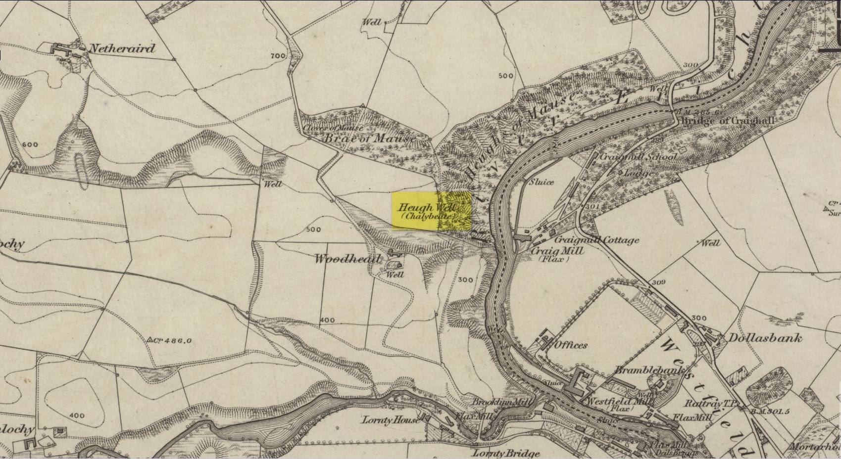
This little-known iron-bearing spring can still be found in the woodland known today as the Heugh of Mawse, a mile north of Blairgowrie. It was included in the Object Name Book of 1863, where they referred to an earlier account in the New Statistical Account, which told that,
“On the south end of it is a chalybeate spring much resorted to by the people of the locality. “There are one or two chalybeate springs in the parish; but they have never been chemically analyzed. There is one very fine spring called the “Heugh Well” It springs from the face of the “Heughs of Mause” (a mortar cliff of singular appearance; which descends abruptly into the bed of the river with an almost perpendicular declivity of about 200 feet) and judging from its colour, contains a considerable quantity of ferruginous matter. The use of its water has been found to be very beneficial in cutaneous eruptions, & affections of the Stomach.””
Heugh Well on 1867 map
Subsequently highlighted on the 1867 OS-map, a singular footpath led to the site and no further. It was mentioned by the regional historians J.G. McPherson (1885) and John MacDonald (1899), albeit briefly, where they respectively told that its waters were “formerly much resorted to by persons in the neighbourhood.” It possessed considerable medicinal properties which, according to tradition, were “found very beneficial for skin diseases and derangement of the stomach”! Doubtless such attributes will still be effective.