Cup-Marked Stone: OS Grid Reference – NN 89253 35346
Getting Here
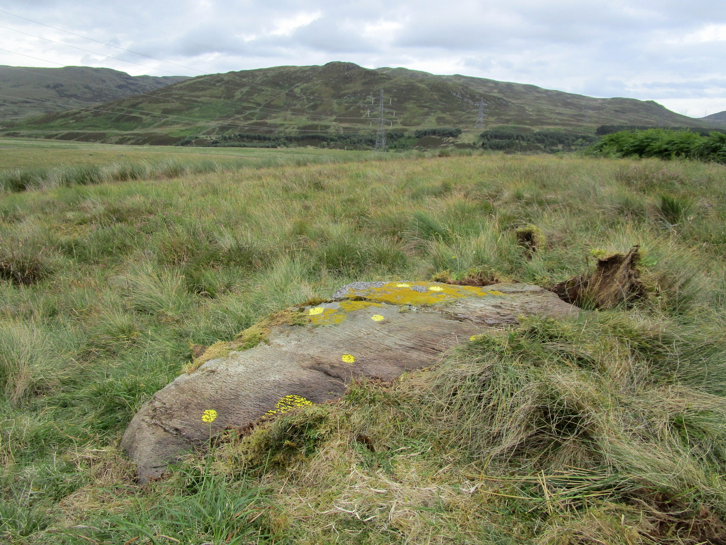
Take the A822 road to the northeast of Crieff and head 4-5 miles along until you enter the Sma’ Glen. You go past Ossian’s Stone and after crossing the river the road starts to go uphill. Nearly 2 miles up, the road levels out and at the left-side of the road is a small thin car-parking spot. Keep your eyes truly peeled for that! Go through the gate and turn right (north), up the grassy slope. Follow this footpath (known as General Wade’s road) straight past Corrymuckloch Farm until, about 250 yards on, the track splits. Take the left track and nearly 500 yards along walk up the embankment on your left and look around (if you reach the gate you’ve gone too far).
Archaeology & History
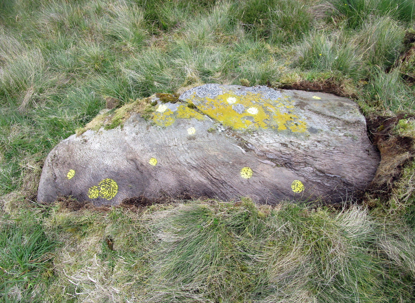
This stone was rediscovered in July 2023 during a cursory survey of other carvings in the Corrymuckloch cluster (17 and counting!). Most of the stone was covered in vegetation when first found, with just a single cupmark near its crown ensuring it got more attention. Altogether there are 10 or 11 cup-marks of varying levels of erosion across the length and breadth of the rock. The most notable one is on the northwest side of the stone, it being twice the size of the others and of much greater depth. It may originally have been a natural depression that was enhanced when the stone was carved. This larger cup has a smaller one attached just above it.
An intriguing find was noted all along the western edge of the rock, where upwards of a hundred small pieces of quartz—the majority of it crystal clear—were scattered between the stone edge and the soil. This is an ingredient that’s been noted at a number of petroglyphs in Scotland.

© Paul Bennett, The Northern Antiquarian