Holy Well: OS Grid Reference – NN 8555 1537
Also Known as:
- Canmore ID 25329
- Chapel Well
- Struthill Well
Getting Here
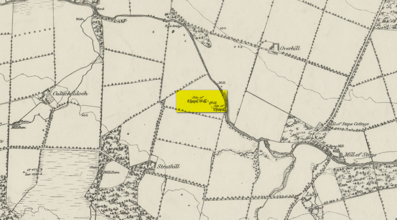
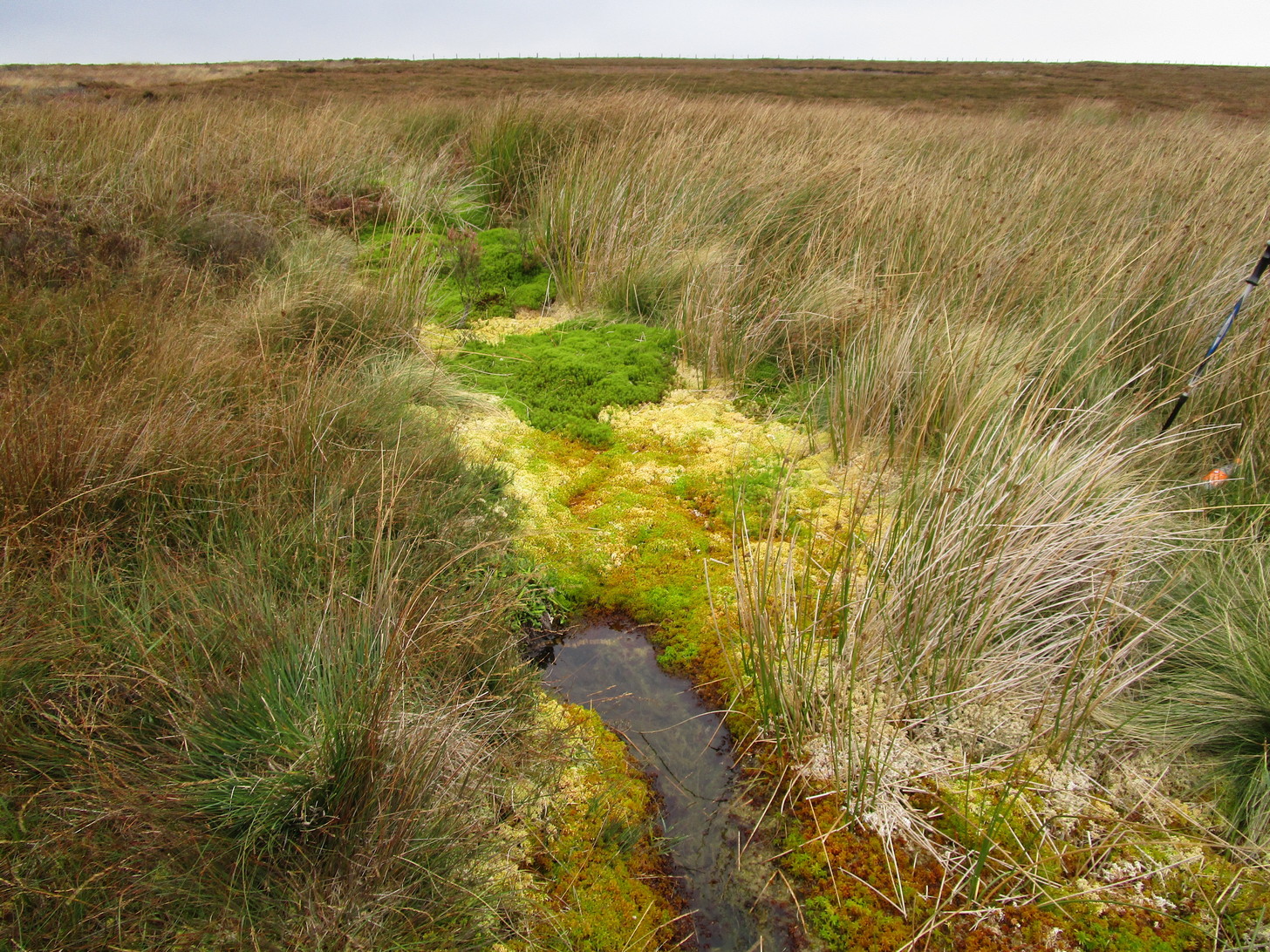
From Muthill, go up Thornhill Street out of the village for nearly 1½ miles. You’ll have just passed the double hairpin bend, crossed the rivulet, then reached the large old farmhouse of Lurgs. From here, turn right and after just over half-a-mile you reach Struthill where, running by the side of the house, is a small trackway. Ask the folks at the house, who are most helpful, and walk down the track for nearly 400 yards and go through the first gate on your right, crossing the field until it dips down to the burn. The boggy marshy mass running from near the top of the slope is what you’re looking for!
Archaeology & History
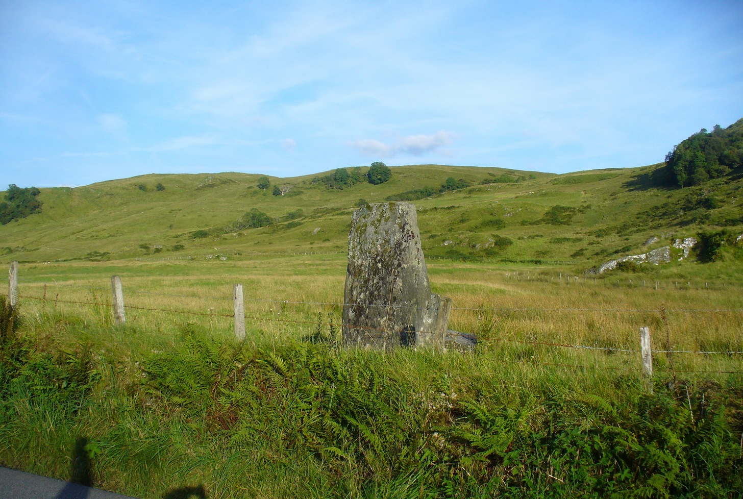
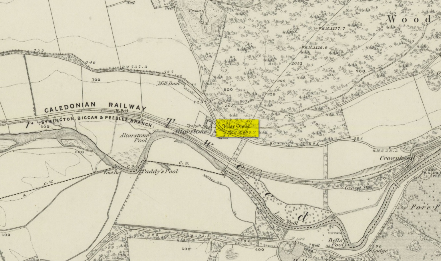
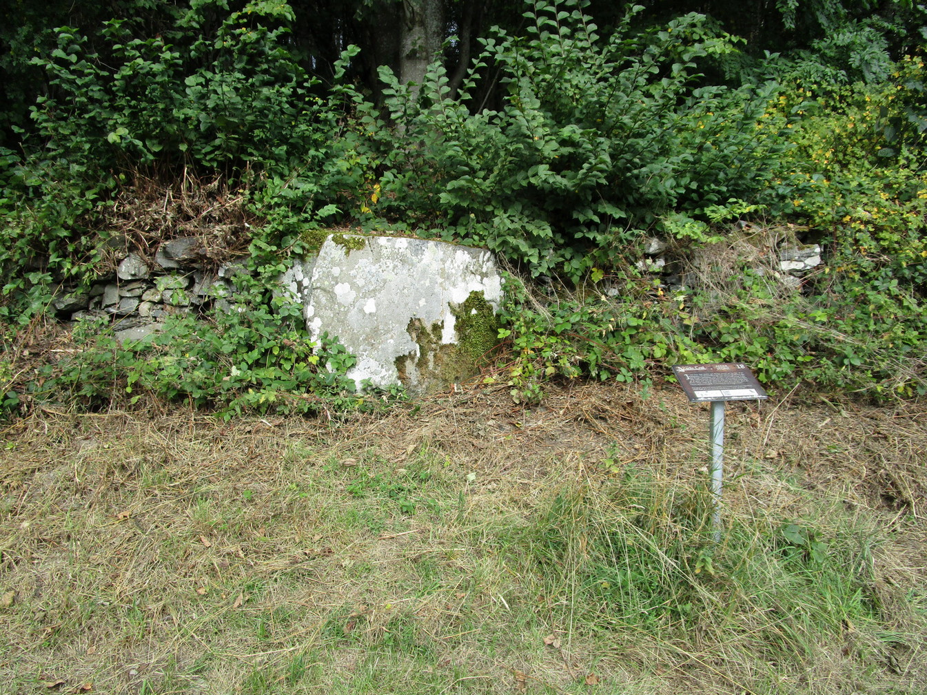
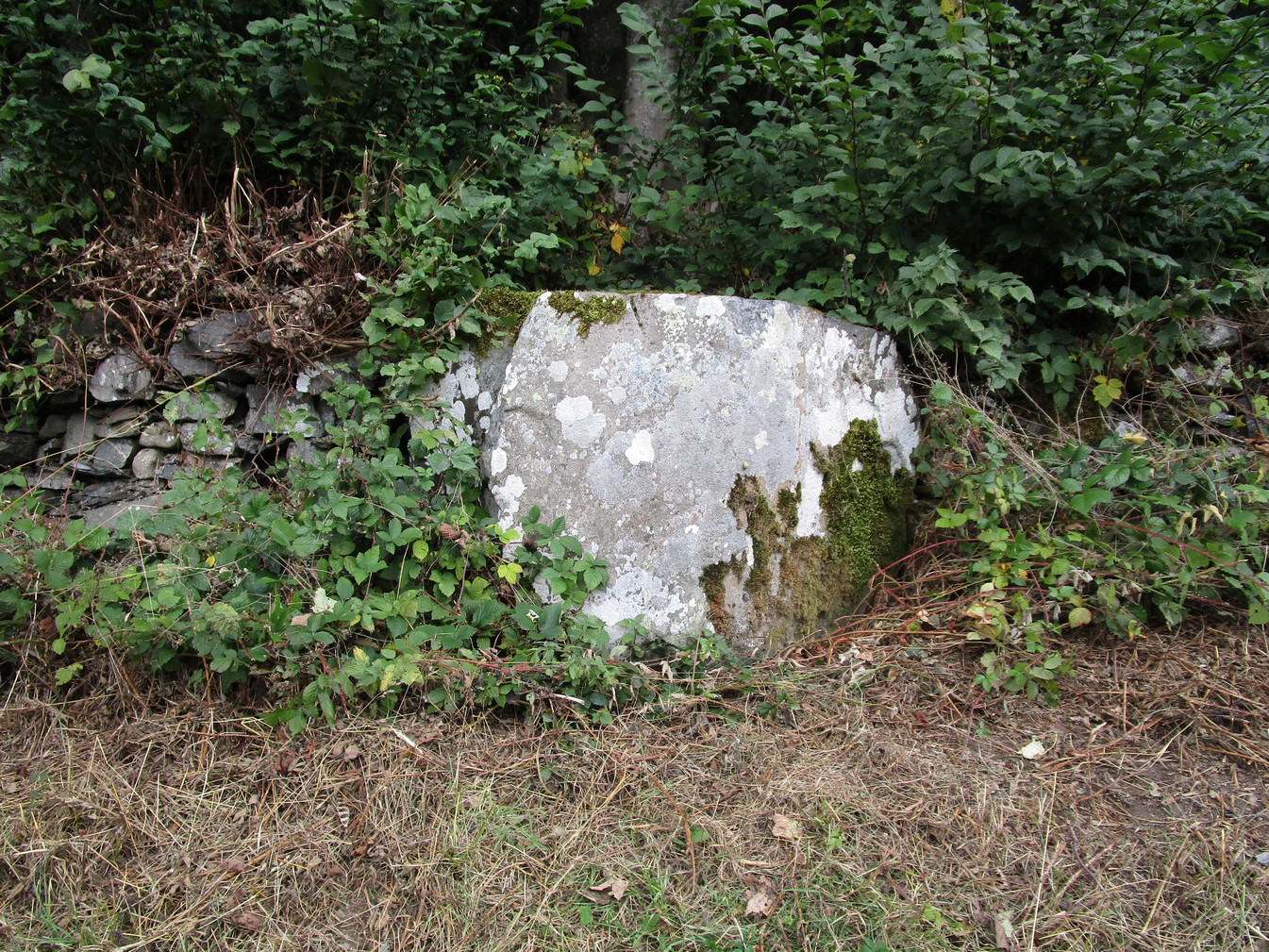
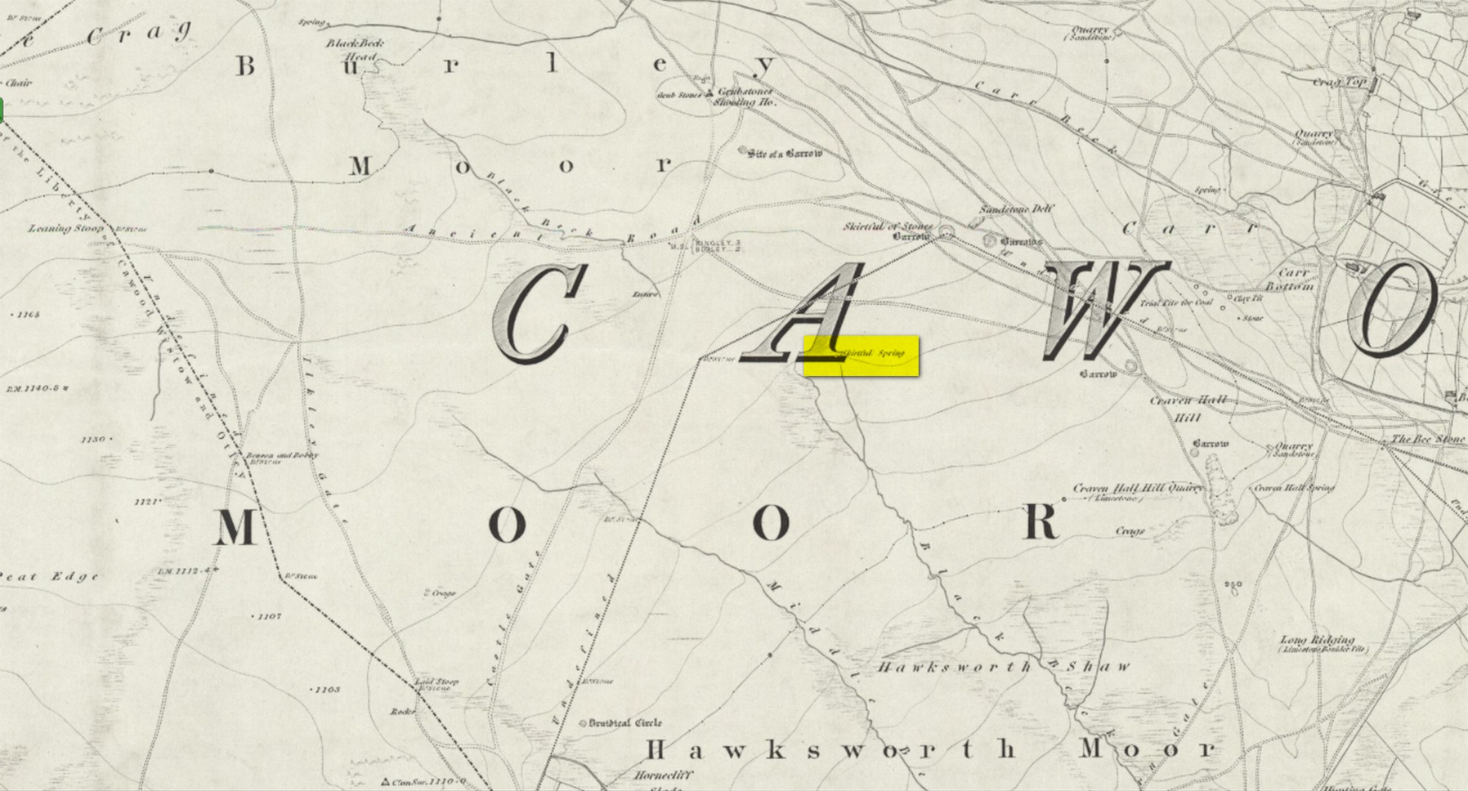
Shown on the 1863 map as the Chapel Well, the dedication of the waters to St. Patrick coincided with a chapel that once stood here, also in his name. Very low faint remains of the chapel, completely overgrown, can still be made out amidst the rushes. It’s one of two holy wells in Muthill parish that are dedicated to St. Patrick.
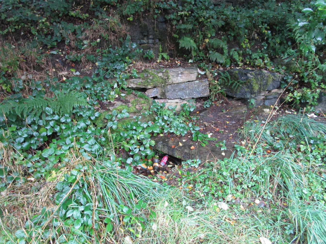
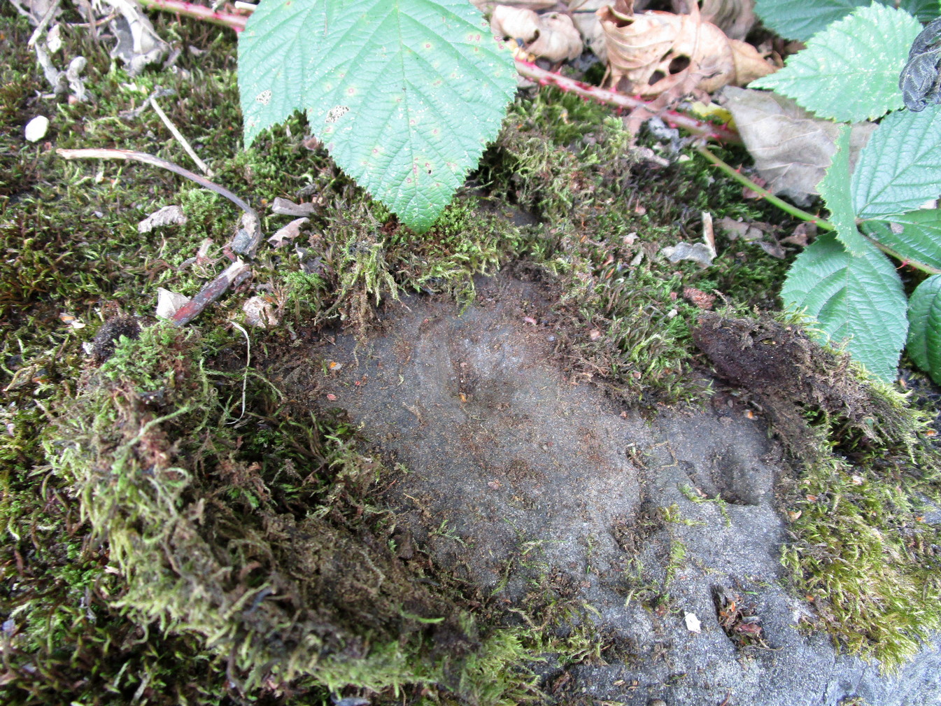
Very little of any real spring of water can be seen nowadays. Indeed, the site today is merely a much overgrown bog-of-a-well whose water oozes down the slope into the Juncus rushes, trickling into the adjacent burn. I had a drink of the water from the slopes, which tasted OK and did me no harm whatsoever.
Folklore
The most important aspects of this site was its use by local people and the attributes it was given. We know not how far back such folklore goes, but it would have been many many centuries, if not millenia. Water worship (if that’s the right word) is the most archaic of all traditional forms of veneration. This place was no exception. In John Shearer’s (1883) excellent local history work, he gave the following account of the site:
“About a quarter of a mile west from the Mill of Steps, upon a height on the right bank of the Machany, are to be seen the ruins of a small chapel. When other places of Popish worship were thrown down after the Reformation, the Presbytery of Auchterarder ordered it to be demolished about 1650 to repress the superstitions practised at this place of resort. West from the chapel is an excellent spring which was held in great veneration in those dark ages of superstition, when the ignorant and credulous populace were deceived by the crafty priests who stood below the spreading branches of an ancient ash which grew near the fount, pronouncing a benediction on the weary pilgrims as they drank of the waters. And as it was celebrated for its healing qualities in many different distempers, numbers yearly visited it from a great distance to benefit by its virtues with as much devotedness as the Mahometan pilgrims visit the tomb of their Prophet. Insanity was also cured here. Several persons testified before the Presbytery of Stirling, in 1668, that having carried a woman thither, they staid two nights at a house hard by the well. The first night they bound her twice to a stone at the well, but she came into the house to them being loosed without any help. The second night they bound her again to the same stone and she returned loosed. And they also declared that “she was mad before they took her to the well, but since that time she is working and sober in wits.”
“This well was still celebrated in the year 1723 and votive offerings were left, but no one then surviving appeared to appreciate the virtues of the stone. Small offerings were given in coin and thrown into the well and those who had no coin brought white stones which were laid in regular order along the declivity where the water runs to the river. Coins have been of late found in the well and the white stones are still to be seen. The officiating priest generally resided at Drummond Castle. Within the last sixty years, several of the gentry have come in their carriages to inspect these relics which were held in so great reputation in ancient times. The chapel and well are about one mile south west from Muthill.”
References:
- MacKinlay, James M., Folklore of Scottish Lochs and Springs, William Hodge: Glasgow 1893.
- Morris, Ruth & Frank, Scottish Healing Wells, Alethea: Sandy 1982.
- Shearer, John, Antiquities of Strathearn, D. Phillips: Crieff 1883.
Acknowledgements: Big thanks for use of the 1st Edition OS-maps, reproduced with the kind permission of the National Library of Scotland.
© Paul Bennett, The Northern Antiquarian