Holy Well: OS Grid Reference – SE 12134 15643
Getting Here
There are various ways to find this. When we came here, we started from the Barton and Crosland Moor side, parking up on Ivy Street and walking to the fields at the end of the road. From here, walk along the track to your left and just over 100 yards on there’s a small footpath on your right that veers down the slope. Walk on here for another 100 yards, keeping your eyes peeled for another path on your right that almost doubles-back on you, heading into the trees. Another fifty yards along and you’ll see some tell-tale stonework!
Archaeology & History

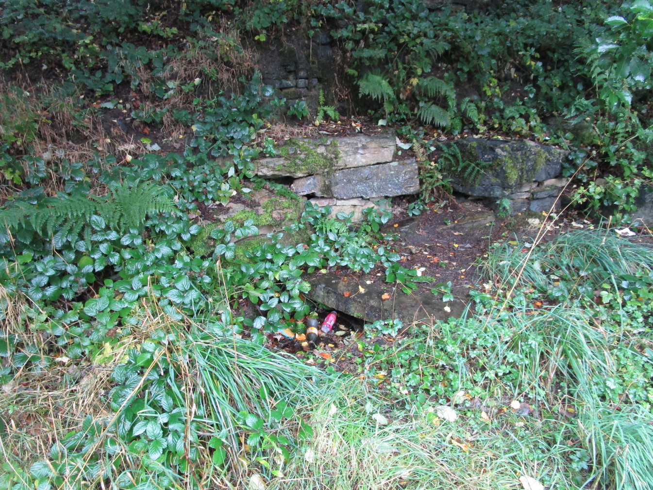
Highlighted on the 1854 OS-map, the site has seen better days. Although the waters today emerge from a blasted rock face and collect into a relatively modern round stone trough, there is a larger square stone structure just a few yards away that seems to have been where water was previously collected. According to local antiquarian Andy H, this was known to be a local Wishing Well in bygone times, but apart from this there are no literary accounts about the place. The area was decimated by 19th century Industrialists who, as is well known, destroyed much of our indigenous histories and sites—and the Huddersfield district was particularly hard hit by them.
On a recent visit to the site—in superb pouring rain!—the waters were choked with modern trash and bottles, making it unsafe to drink. This is surely a good case for restoration, then stuck on some local tourist route to ensure better, more appreciative attention.
Links:
© Paul Bennett, The Northern Antiquarian