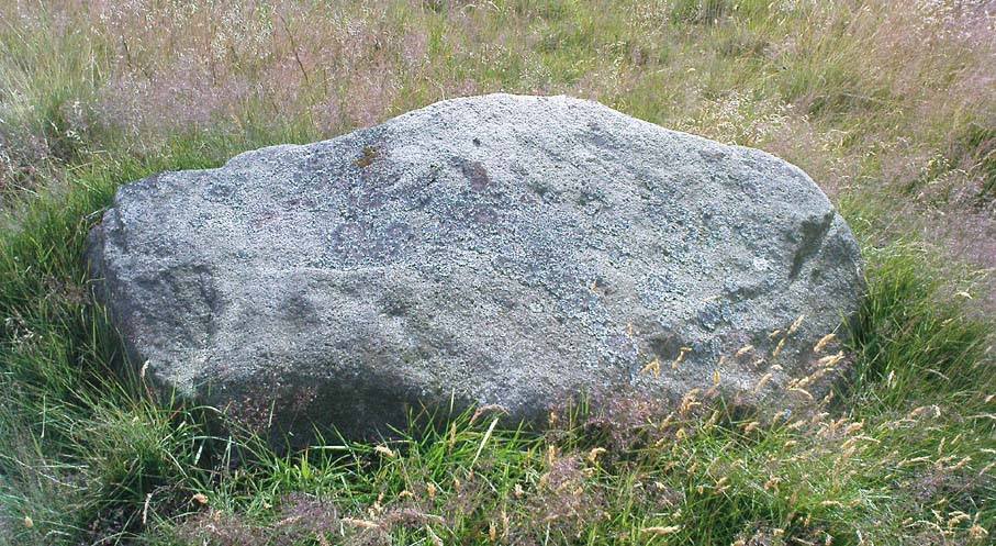
Cup-Marked Stone: OS Grid Reference – SE 1743 3975
Also Known as:
- Carving no.10 (Boughey & Vickerman)
Seemingly not visible anymore, but directions given by a Miss N. Hutchinson in the early 1960s worked for me and Dave Pendleton when we checked this out at the end of our teens. We had to look around till we found it, based on the following directions. The carving was found “on top of a low dry wall on Esholt Lane, Esholt…on the stretch of road from the junction of Gill Beck with the River Aire to the stone-built barn on the left-side of the road, that is, going towards Esholt.”
Archaeology & History
")
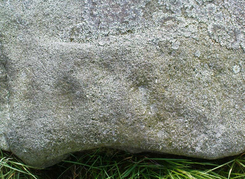
First described by Miss Hutchinson in a letter she sent to Sydney Jackson (1964), editor of Bradford Archaeology group newsletter. When we first found this small carving (not far from where we grew up) we were at the end of our teens, and followed the directions cited in the Cartwright Hall Archaeology Group Bulletin (see above). The carved design was typical of the primary arcs found in many of the Baildon Moor cup-and-ring carvings a bit further up the hill, but with two other small faint cup-markings on it. According to Boughey & Vickerman (2003), the carving’s now been hidden in a section of walling that’s been rebuilt. The drawing here is from one of my unpublished notebooks. (1984)
References:
- Bennett, Paul, Ramblings of Archaeological Remnants in West Yorkshire, unpublished: Shipley 1984.
- Boughey, Keith & Vickerman, E.A., Prehistoric Rock Art of the West Riding, WYAS 2003.
- Jackson, Sydney, ‘Cup-Marked Rock – Esholt Discovery,’ in Bradford Cartwright Hall Archaeology Group Bulletin, 9:4, 1964.
© Paul Bennett, The Northern Antiquarian