Tumulus: OS Grid Reference – SD 4596 6425
Various ways up this old hill, visible from all angles it seems. I came up via the housing estate near where us friend lives, near Bare Lane Station, through the houses and up the footpath. But you can just as easy (if not easier) walk up from the country lane and fields beneath its eastern side. Much nicer!
Archaeology & History

As many northerners will tell: gerrin information from the Lancashire archaeologists about prehistoric sites is troublesome (must be Southerners running the show!). There’s tons of stuff in this good county, but archaeo-info is pretty poor on the ground. This great old tomb for example, is designated as a “round barrow” on the Lancashire County Council monuments and records listing, but there’s no other info telling when it was dug, who by, the size of the tomb, what was found here, etc. Pretty poor to be honest (c’mon chaps – get yer fingers out!). The best info on-line comes from the more dedicated amateur enthusiasts.
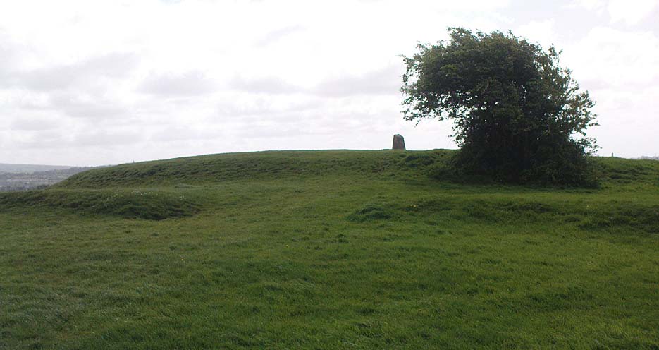
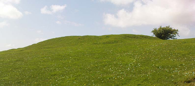
A local historian told us that there was nowt up here, but my nose told me otherwise — so up we tramped! It was pretty obvious once we’d got to the top here, that some ancient mound had been built up.
“This has all the hallmarks of a tomb,” I said.

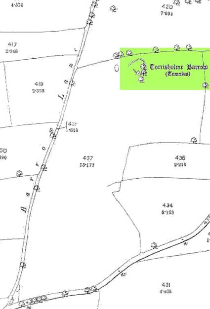
The spirit of the ancestor herein (whoever s/he was) had excellent views and flights to numerous important hills 360° all round here. A perfect place for a tomb! And when we returned into the Darklands of our Yorkshire abodes, we found this notion to be true. Marked on early OS-maps as a tumulus, next to the tell-tale giveaway route of Barrow Lane, there are passing mentions of it in a couple of old local history books I’ve come across, but I’ve yet to find much more about it. It’s a fine mound and of decent size, well worth checking out if you’re in the area. Once I get more details of the archaeological finds from here, I’ll add the data to TNA (but based on past performances and responses from Lancashire archaeo’s, I wouldn’t hold your breath…)
And for any Morecambe historians who might be able to find more: what — if anything — is known of the ‘Fartle Barrow’, now swallowed by the encroachment of the sea, just a few hundred yards west of here?
Folklore
In days of olde, this site was an old moot or meeting hill: one of the northern Law or council meeting hills. Quite how far back this gathering tradition up here goes, aint known. We do know however that there was a christian tradition enacted here, at Easter, of local church doods taking a cross up the top of the hill (does anyone know the story behind the old Cross Hill, half-a-mile south of here?). There’s obviously quite a lot more pre-christian activities occurrent round here than has been previously thought.
© Paul Bennett, The Northern Antiquarian
